
Route: Garton Wold
Area: East Yorkshire
Date of walk: 26th June 2013
Walkers: Andrew
Distance: 14.5 miles
Ascent; 600 feet
I parked on Garton Hill by the Sir Tatton Sykes Monument. From here there are views for miles over the surrounding countryside, even though the hill is only about 500 feet above sea level
I headed off north east along a chalk road, and eventually came to a secluded valley. I walked along the valley bottom to the deserted church at Cottam
I then walked along quiet country lanes, bridleways and footpaths, all of which were deserted and I didn’t see another walker all day
There were glimpses of the Monument in the distance from several places along the route, and I eventually made it back there after about 5 hours walking
It was a morning well spent exploring the lovely countryside in this part of East Yorkshire
Click on the icon below for the route map (subscribers to OS Maps can view detailed maps of the route, visualise it in aerial 3D, and download the GPX file. Non-subscribers will see a base map)

Scroll down – or click on any photo to enlarge it and you can then view as a slideshow

I parked near the Memorial, built 1875, in memory of Sir Tatton Sykes 4th Baronet. He married at 50, had 8 children, and lived to the age of 90. The memorial is 120 feet high, and is visible for miles around

Heading north east away from the monument

Looking back to the monument

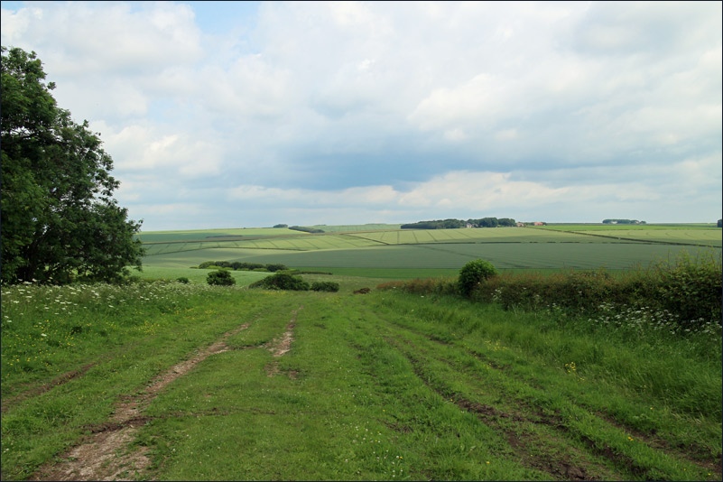
Chalk farmland before descending to the valley

The valley leading to Cottam

Deserted church at Cottam


Heading toward Cottam Warren Farm


Bonnie

A feature of this walk was the wild flowers in the hedgerows and meadows


The Monument again, not far to go now


One of the few places where Bonnie could cool down


Looking back over the Wolds
Follow the link for more walks in East Yorkshire (117)
