
Route: Spurn Point
Area: East Yorkshire
Date of walk: 7th April 2013
Walkers: Andrew and Gilly
Distance: 8.7 miles
Ascent: 200 feet
Spurn Point is a unique place, as will be seen from the Maps Page. It’s 3.5 miles long and only 50 metres wide in places. The area is now owned by Yorkshire Wildlife Trust and is a paradise for birders. For more information see the YWT website
We parked at Kilnsea and walked along this fascinating strip of land, which will be lost to the sea one day. The usual navigational aids can be left at home, it would be impossible to get lost here – but don’t forget the binoculars
We walked along the track, sometimes leaving it to follow paths or to walk along the beach or alongside the mud flats on the other side
We saw lots of wildlife including a couple of deer and the walk was interesting and enjoyable every step of the way
For other walks here, visit my Find Walks page and enter the name in the ‘Search site’ box
Click on the icon below for the route map (subscribers to OS Maps can view detailed maps of the route, visualise it in aerial 3D, and download the GPX file. Non-subscribers will see a base map)

Scroll down – or click on any photo to enlarge it and you can then view as a slideshow

The North Sea has claimed part of the path at this point

One of several bird hides provided by the Yorkshire Wildlife Trust

Twitchers

We walked along the beach for a while

The North Sea

Looking the other way, over Kilnsea Clays, a haven for wading birds

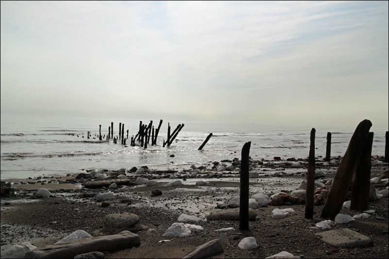
Decaying wooden groyns - there are various types of sea defences along the way

Greedy Gut - not Gilly, that’s the name of the mud flat on the right

Sea fishing at the end of the Point

Bull Fort - a Grade II listed building

Humber Pilot - you’ll need one of these if you plan to sail into the Humber estuary

Off to serve another customer

Disused lighthouse at Spurn Point - visible from the start of the walk, 4 miles back

The North Sea again, on the return leg

There is a road of sorts leading all the way to the Point, but it’s disappeared here

Nearly back to Kilnsea - what a fascinating walk that was!
Follow the link for more walks in East Yorkshire (117)
