
Route: Robin Hood’s Bay
Area: North York Moors
Date of walk: 10th April 2013
Walkers: Andrew and Gilly
Distance: 9.1 miles
Ascent: 400 feet
We parked near the Raven Hall Hotel in Ravenscar and went along a downhill track to join the Cleveland Way. The path runs along the cliff top with great views along the coast to Robin Hood’s Bay and beyond
Unfortunately the skies were overcast and it was slightly misty, so the photos don’t properly convey the beauty of the surroundings. Click here to see what it’s like in better weather
As we approached our destination we dropped down to the beach, and walked along the shore for a mile or so. We then wandered around the lovely narrow streets of Robin Hood’s Bay
It was an easy walk back to Ravenscar along the disused track of the Whitby to Scarborough Railway, which operated from 1885 until its closure in 1965
The weather was dull, unlike the walk, which we both enjoyed
For other walks here, visit my Find Walks page and enter the name in the ‘Search site’ box
Click on the icon below for the route map (subscribers to OS Maps can view detailed maps of the route, visualise it in aerial 3D, and download the GPX file. Non-subscribers will see a base map)

Scroll down – or click on any photo to enlarge it and you can then view as a slideshow

Shortly after leaving Ravenscar, this view appears

After passing through the golf course we join the Cleveland Way

Looking back to Ravenscar

Erosion - the foreground will look the same as the background one day

A welcome splash of colour from the gorse

The tide is out and we shall be able to walk along the beach soon

Down to the beach now, with Robin Hood’s Bay ahead

The North Sea in monochrome

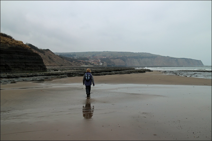
Not far to go to Robin Hood’s Bay

The slipway which leads up into the village

This brought back happy memories of 2002, when we arrived here to finish the C2C walk

We couldn’t resist an ice cream after walking 4 miles to get here

We wandered around the narrow streets for a while.....

....with background music provided by the local choir

Looking back to Ravenscar in the far distance

The way back is along the disused railway track from Whitby to Scarborough

Further along the track

Looking back to Robin Hood’s Bay shortly before Ravenscar

Ravenscar ahead
