
Route: Carraig Fhada and the Singing Sands
Area: Southern Islay
Date of walk: 20th March 2022
Walkers: Andrew and Gilly
Distance: 3.0 miles
Ascent: 200 feet
Weather: Sunny, very windy
Thanks to gale force winds, this morning’s walk had been shorter than planned, and this left time for another walk in the afternoon
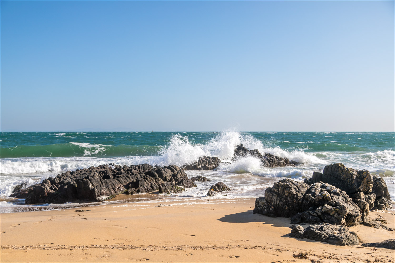
We started from the parking area opposite the cemetery on the Oa road out of Port Ellen. After walking back along the road we joined a track by some woodland and this took us down to a beautiful golden beach at the east end of Kilnaughton Bay, with the ruins of a bathing hut on the left. We crossed a small burn in the sands without getting our feet wet, but after a rainy spell it may be necessary to paddle across. There followed a delightful stroll along the beach, with views across the bay back to Port Ellen
At the end of the beach we climbed up to the quiet road, heading for the lighthouse at Carraig Fhada. We kept a lookout for otters which frequent the rocky inlets but were out of luck. The twin white towers of the lighthouse are a prominent landmark in these parts, and we’d first seen them from the Calmac ferry when we arrived on the island yesterday
It’s possible to access the base of the lighthouse via a small bridge, but waves were crashing over it so this wasn’t an option today. We retraced our steps for a few yards and joined a path leading uphill, indicated by a finger post. This path took us along the coastline to reach the beautiful beach of Traigh Bhan, known as the Singing Sands. The ‘singing’ comes from the sound the sand makes as you walk along it, a phenomenon caused by the size of the grains of sand. The sound is indescribable – because we didn’t hear it
Near the end of the beach we located a faint path which climbs uphill to reach a track. There were good views back over the lighthouse to Port Ellen. We followed the track down to the road, retracing our original route for a few yards (this is a figure of eight walk) and then continued along the road. Just before we reached the parking space it was a thrill to see a white tailed eagle fly overhead, quite close by. I quickly fumbled for the telephoto lens in my rucksack but I was too late. Nevertheless it was a wonderful end to the walk
Click on the icon below for the route map (subscribers to OS Maps can view detailed maps of the route, visualise it in aerial 3D, and download the GPX file. Non-subscribers will see a base map)

Scroll down – or click on any photo to enlarge it and you can then view as a slideshow

The start of the walk from the parking spaces opposite the cemetery overlooking Kilnaughton Bay

We walk along the road towards Port Ellen for a short distance and turn right at the woodland ahead

We follow a path by the woods down to the beach, unnamed on the OS maps. Carraig Fhada lighthouse is in the distance

Kilnaughton Bay

We pass by the remains of a bathing hut

We ford this small burn

An enjoyable section along the beach...

Carraig Fhada lighthouse in the distance

We leave the beach here to climb up to the road, which is a very quiet one as it only serves a handful of properties

To the lighthouse....

Looking across the bay to Port Ellen


Looking back

We make a short there and back detour to Carraig Fhada lighthouse

It's possible to follow a narrow path and bridge to the base of the lighthouse but strong winds and waves ruled this out today

We retrace our steps for a few yards and leave the track at the fingerpost

After a short climb we descend to the Singing Sands or Traigh Bhan

The Singing Sands - we shuffled our feet around but couldn't get them to sing


Near the end of the beach we followed a faint path uphill, with views back to the lighhouse

The path leads to a track above Kilnaughton Bay

The track passes above the lighthouse

We descend back to the road

The middle of our figure of eight walk as we arrive back at the road

A view along the beach beside the road

A final look back to Carraig Fhada from the lower cemetery. From here it's a short stroll to the higher one and the end of a lovely short walk
Follow the link for more walks in Scotland (44)
