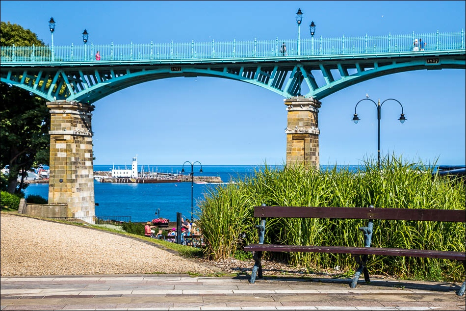
Route: Filey to Scarborough
Area: East and North Yorkshire
Date of walk: 12th August 2015
Walkers: Andrew and Gilly
Distance: 11.2 miles
Weather: Sun and blue skies
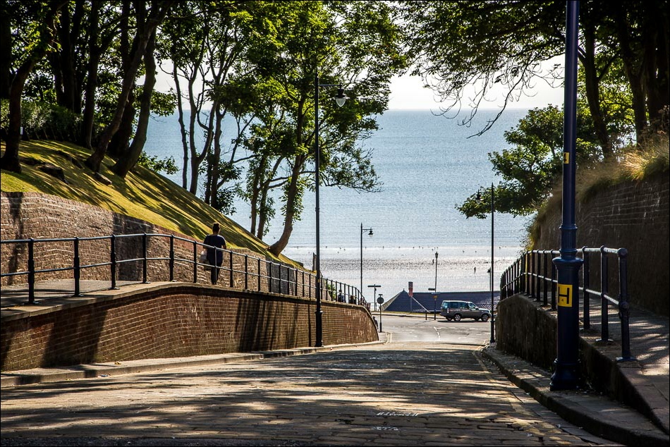
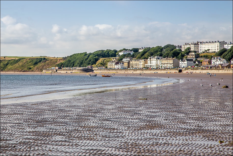
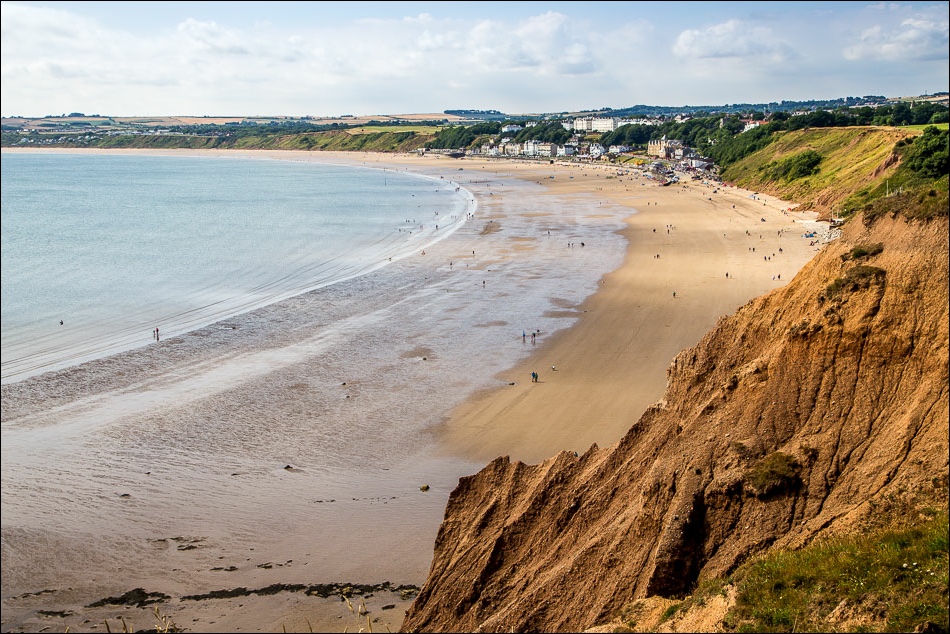
There’s a regular bus service between Scarborough and Filey and we decided to take advantage of this when planning today’s linear walk. We parked near the station in Scarborough and didn’t have long to wait before a bus came along. It was a 20 minute journey to Filey and on arriving in the centre of the town we walked down the road to the beach
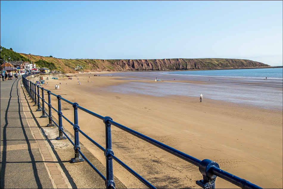
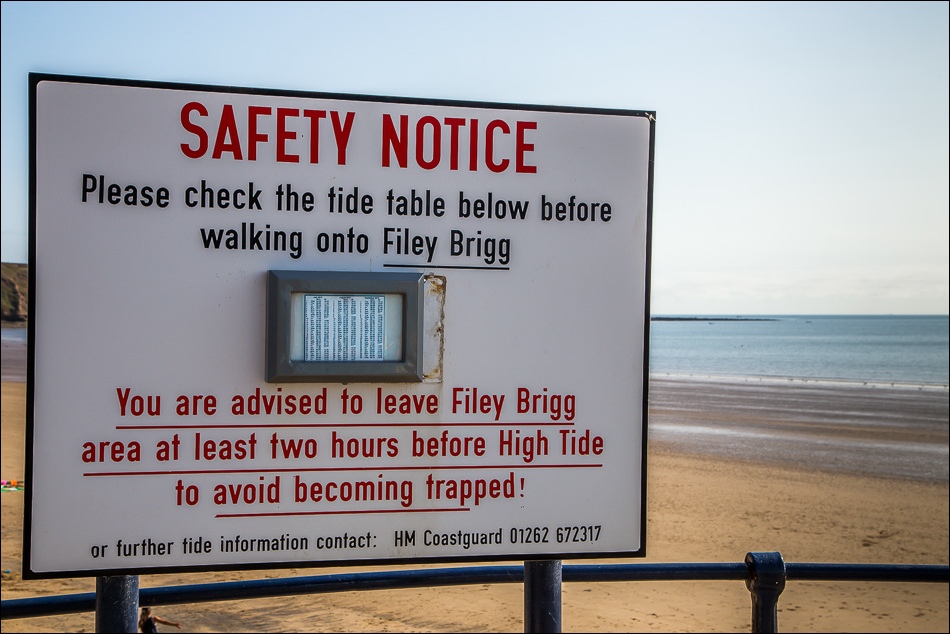
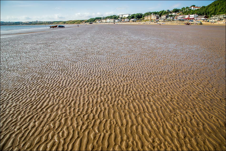
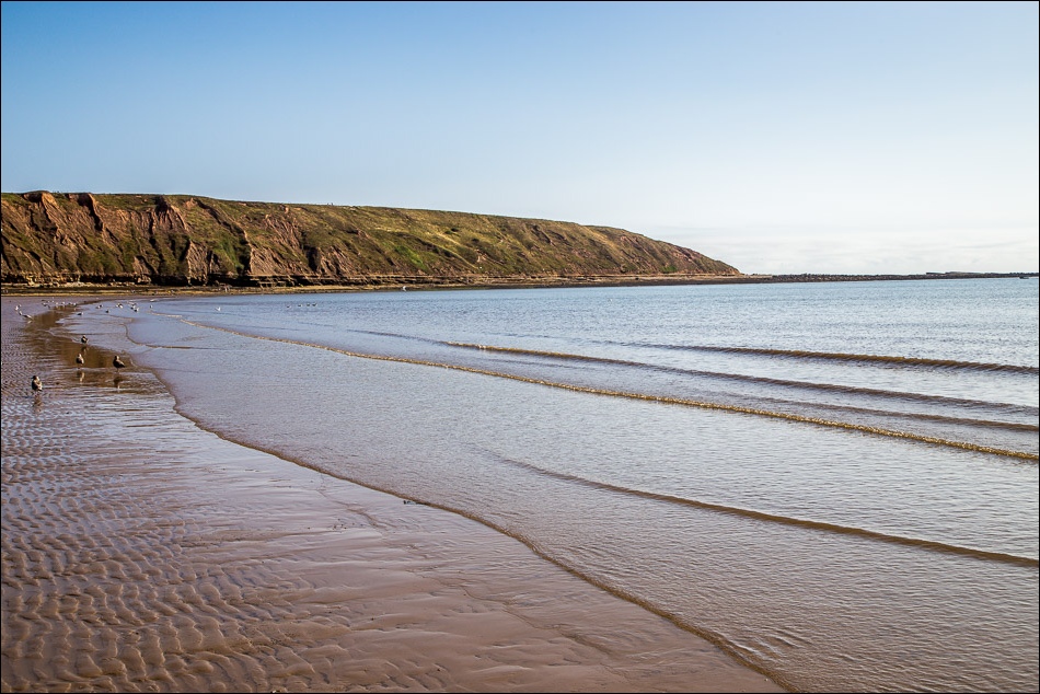
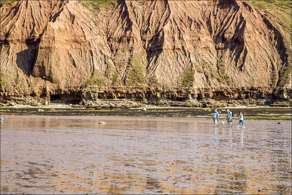
The tide was out, so we were able to walk along the beach to Filey Brigg. After exploring the Brigg, which involved much clambering about on the rocks, we climbed the steps up the eroding cliffs and at the top we walked past the end of the Wolds Way and the beginning of the long distance Cleveland Way (or vice versa depending on which way these are tackled)
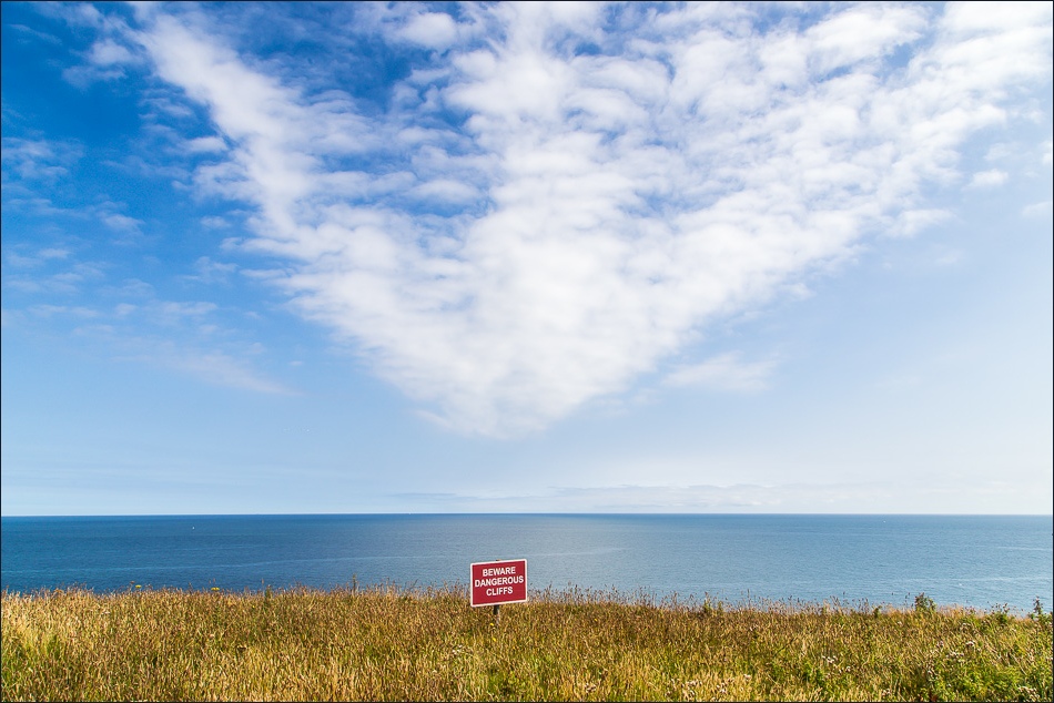
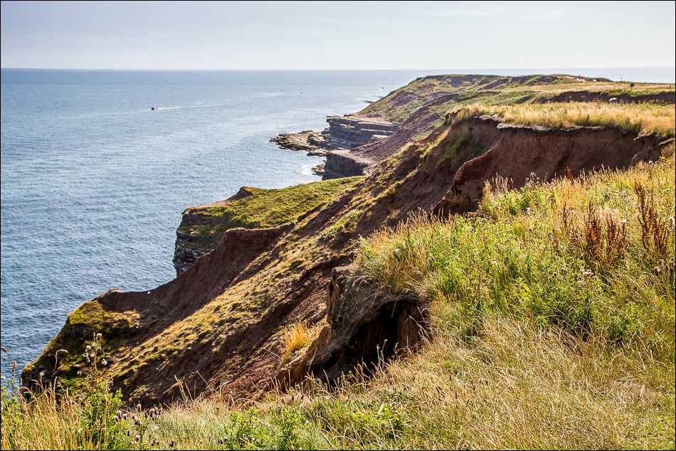
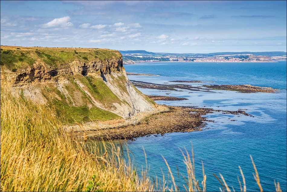
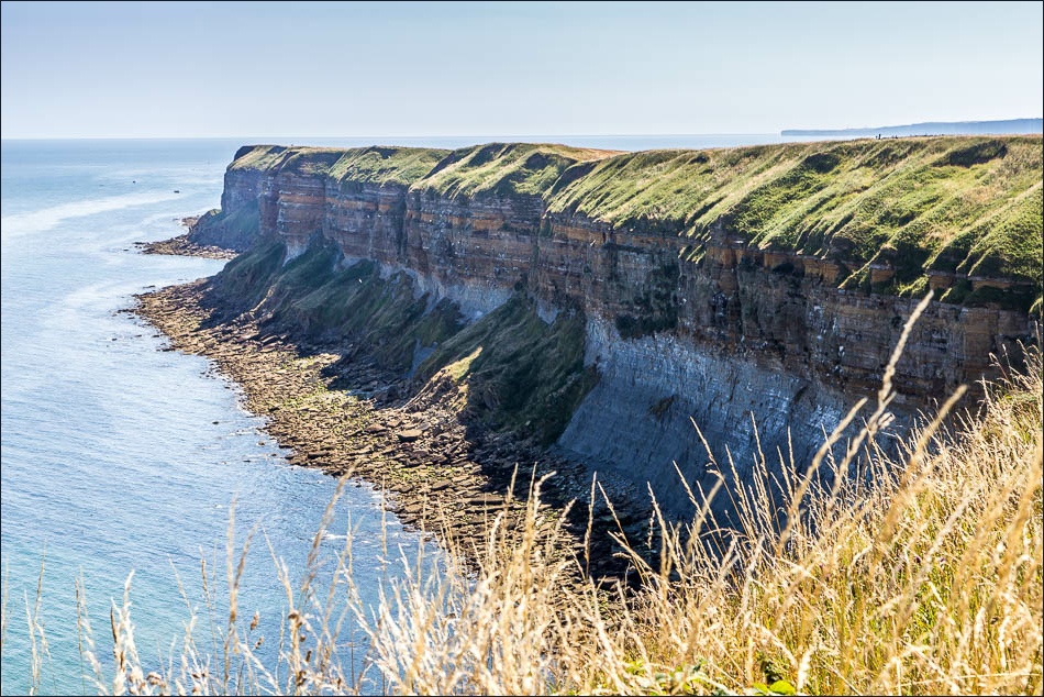
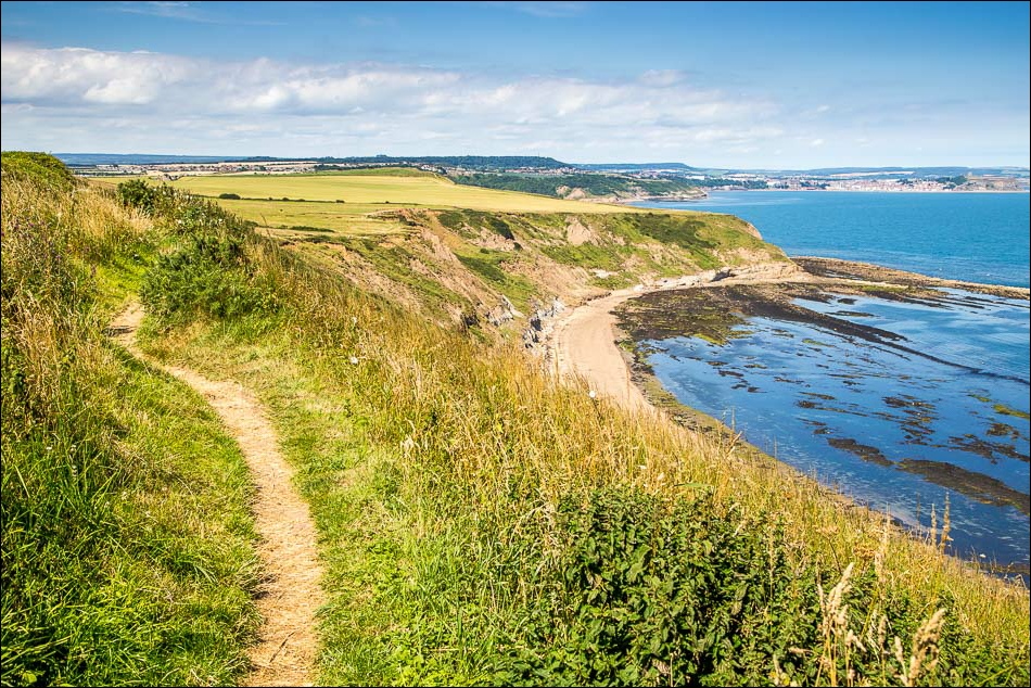
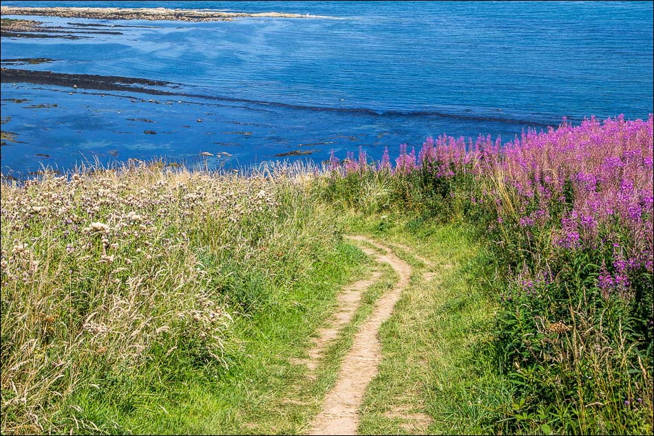
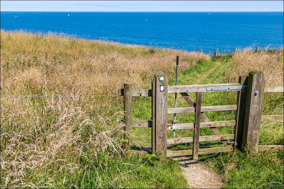
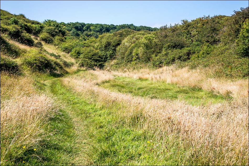
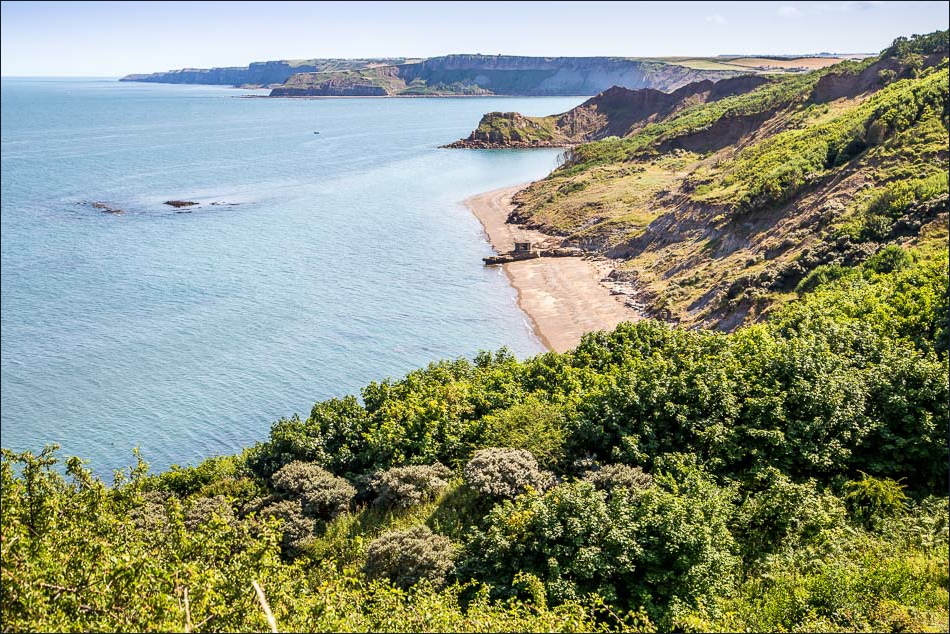
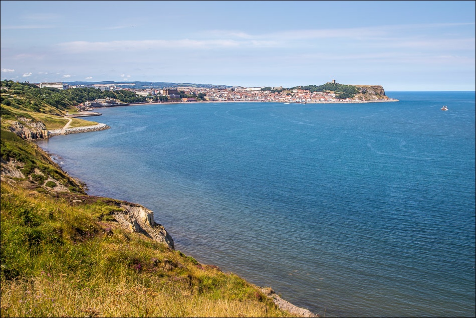
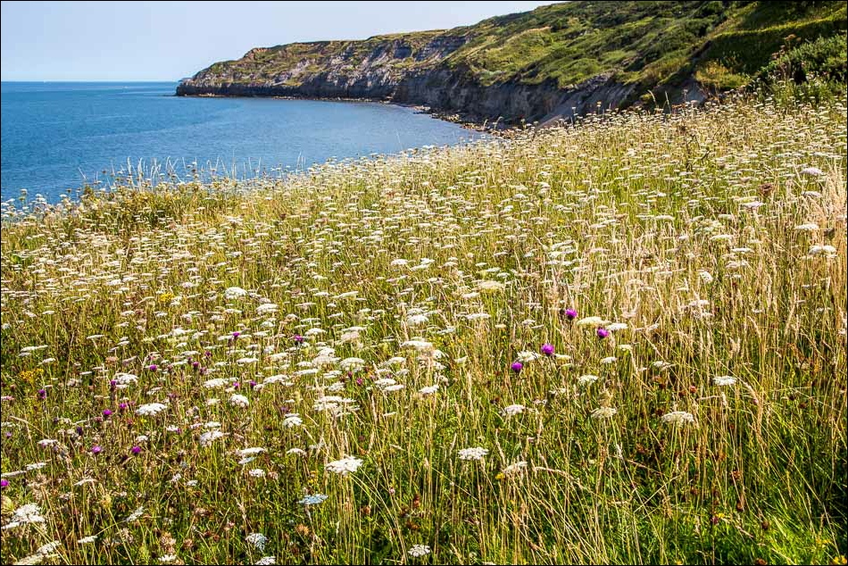
This marked the start of a fantastic cliff top walk all the way to Scarborough. As is often the case with coastal walks there were many ups and downs, involving a total ascent of around 1,200 feet, but it was easy going throughout
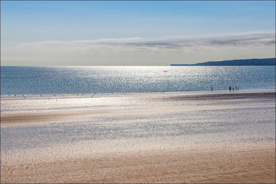
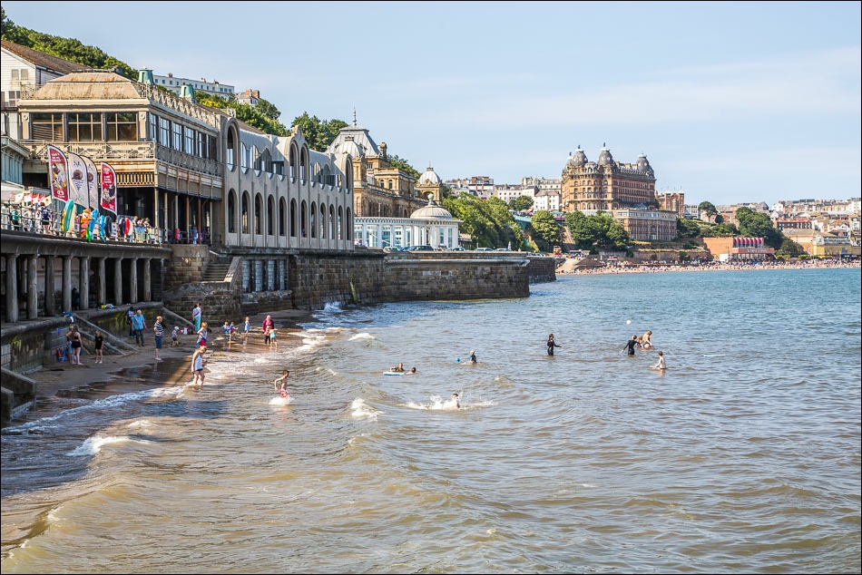
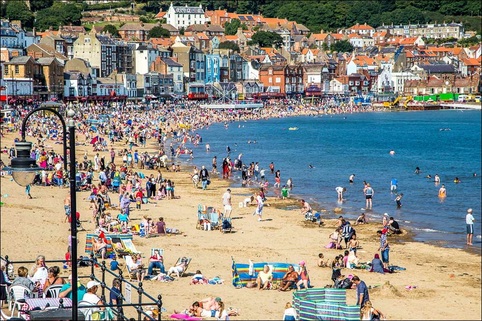
We were lucky with the weather – sun and blue skies all the way, with a cooling sea breeze and superb visibility – and this contributed to a fantastic walk
For other walks here, visit my Find Walks page and enter the name in the ‘Search site’ box
Click on the icon below for the route map (subscribers to OS Maps can view detailed maps of the route, visualise it in aerial 3D, and download the GPX file. Non-subscribers will see a base map)
Scroll down – or click on any photo to enlarge it and you can then view as a slideshow
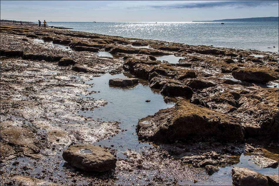
We walked along the Brigg, but had to retrace our steps in order to climb up to the top of the cliff
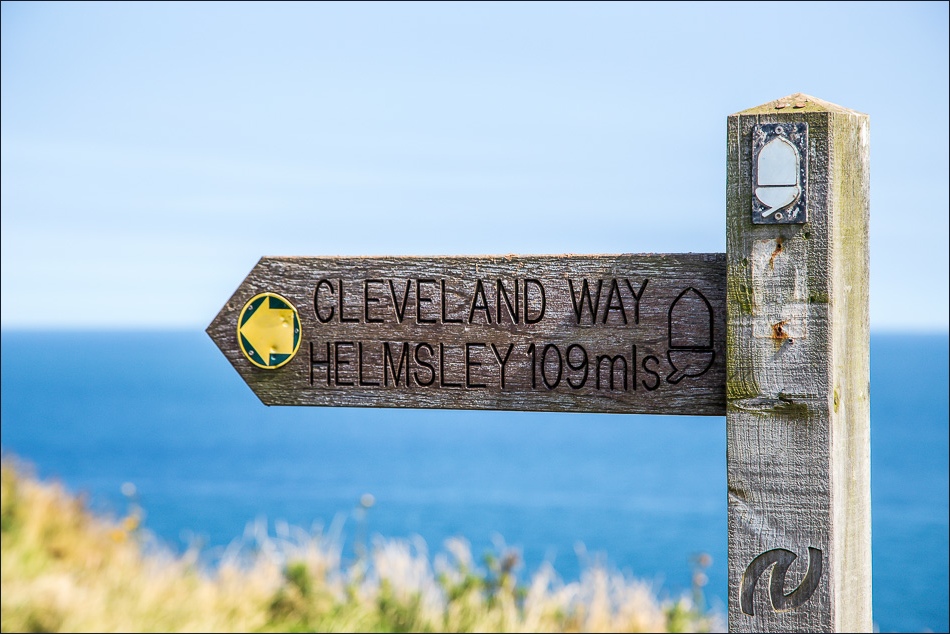
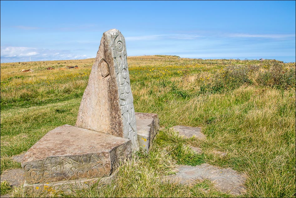
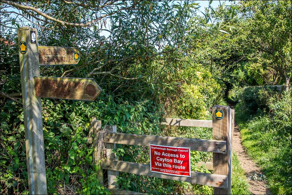
A few yards further on, the start (or end) of the Cleveland Way, which we will follow as far as Scarborough
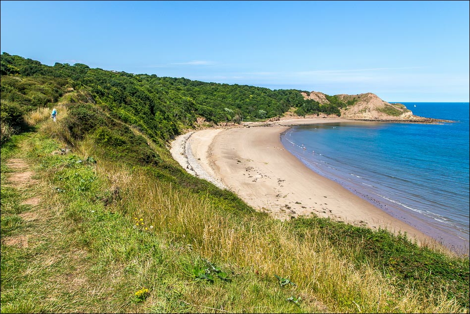
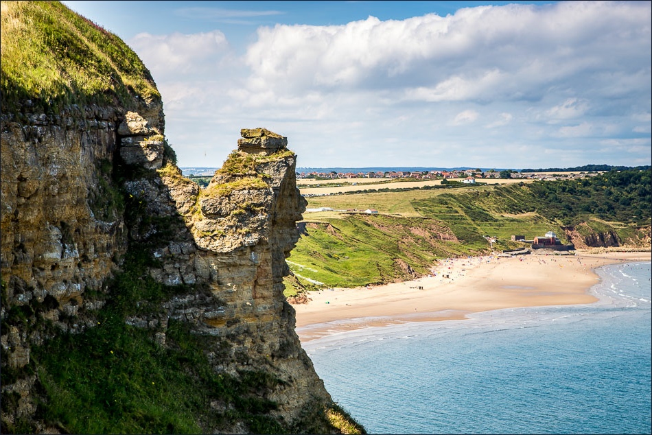
Knipe Point - note that the path across the outcrop has disappeared, but this is not shown on the OS map or guide books, and a diversion inland is needed…
Follow the link for more walks in East Yorkshire (110)
