
Route: Rosthwaite Fell (Bessyboot)
Area: Southern Lake District
Date of walk: 23rd January 2014
Walkers: Andrew and Gilly
Distance: 6.5 miles
Ascent: 1,600 feet
This was a day of mixed weather – rain, sleet, hailstorms, gale force wind, along with a few brighter spells. We parked in Seatoller and, true to its reputation as being the wettest place in England, it was raining
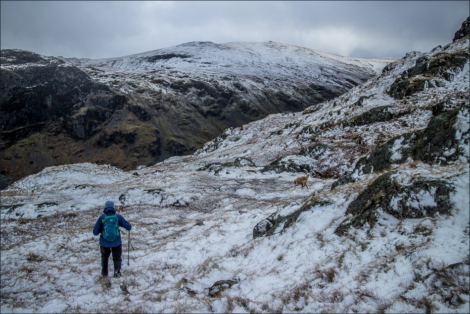
There looked to be some better weather coming so we set off, crossing over Strands Bridge and making the climb up the fell. The path gradually disappeared, or maybe we’d gone off piste, but we knew where we were heading and were soon at Tarn at Leaves, not far from the summit
When we reached the rocky top there was a sudden white out, and we were assaulted by gale force winds and a seemingly horizontal hailstorm which stung our faces. The conditions were quite serious, so we put our picnic on ice (as it were) and began the descent immediately
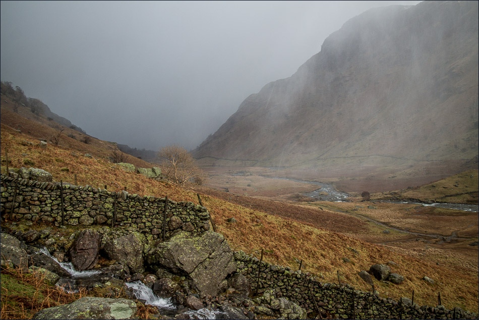
It was a long and steep climb down to Langstrath and we were glad to finally reach valley level and join the Cumbria Way. It was a memorable walk, and wonderful to see some snow on the fells at last
For other walks here, visit my Find Walks page and enter the name in the ‘Search site’ box
Click on the icon below for the route map (subscribers to OS Maps can view detailed maps of the route, visualise it in aerial 3D, and download the GPX file. Non-subscribers will see a base map)

Scroll down – or click on any photo to enlarge it and you can then view as a slideshow

Three of the locals as we leave Seatoller

Looking back to Seatoller

Crossing the bridge over Combe Gill
Looking back to King’s How Borrowdale

and looking back to Seatoller from the start of the climb

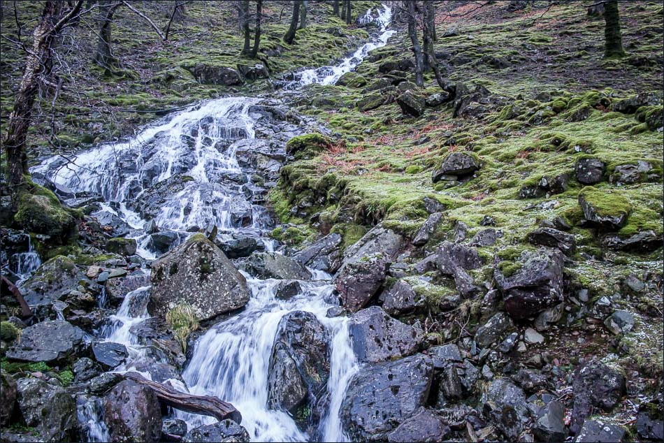
Waterfall at Combe Gill

Further up Combe Gill

Gill crosses the Gill

Derwent Water between the Jaws of Borrowdale

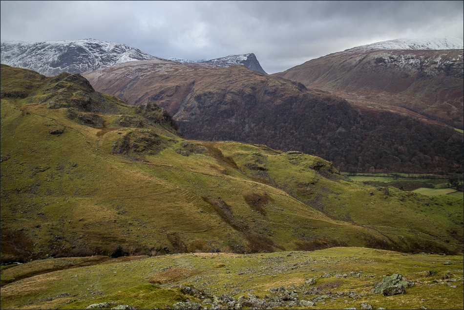
Fleetwith Pike
Thornythwaite Fell

Climbing up beside Rottenstone Gill

Bessyboot ahead

Tarn at Leaves

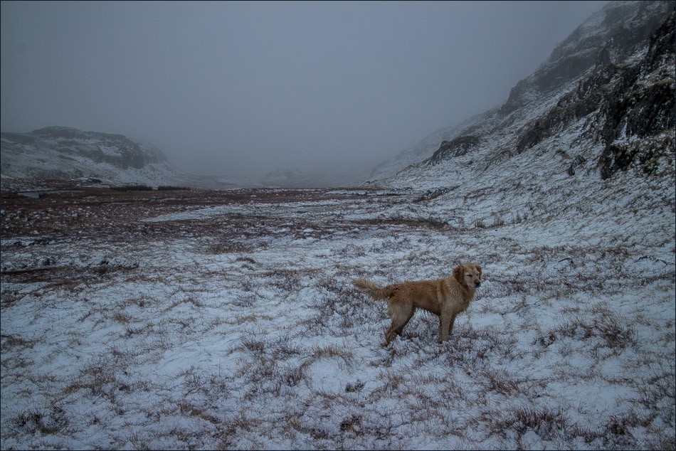
Bonnie

Summit cairn of Bessyboot - howling wind, hailstorm and no views in any direction
The start of the descent

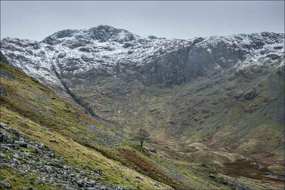
Langstrath and its beck below
Incoming! Another hailstorm about to hit us

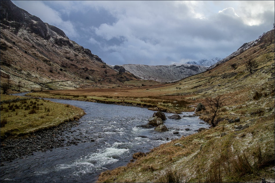
On the Cumbria Way and heading along Langstrath
Looking back along the valley
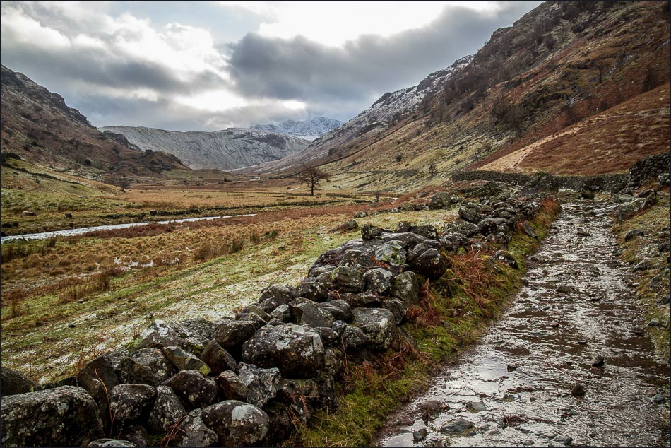
Another view back

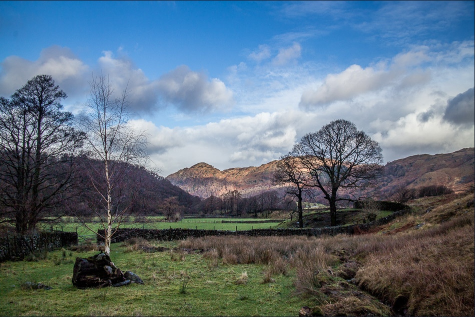
We pass through Stonethwaite

Seatoller just ahead

Back to the start at Seatoller
