

Route: Lanthwaite Hill
Area: Western Lake District
Date of walk: 17th August 2013
Walkers: Andrew
Distance: 3 miles
Ascent: 500 feet
We’d planned a walk along the cliff top at St Bees Head, but by the time we got there the rain was torrential and there was a howling gale. It would have been no fun at all, so we returned to base
Later in the afternoon there was a welcome pause in the downpour, and I seized this window of opportunity to go for a local walk through Lanthwaite Wood. It’s only a short walk, but there’s a huge amount of varied scenery to be enjoyed
I parked in the National Trust car park at Lanthwaite Wood and climbed up Lanthwaite Hill. The hill is of modest height but has lovely views in all directions
I descended from the hill back into the wood and then walked along the shore of Crummock Water and the banks of the River Cocker. The weather had been poor but this is a beautiful walk in all conditions
For other walks here, visit my Find Walks page and enter the name in the ‘Search site’ box
Click on the icon below for the route map (subscribers to OS Maps can view detailed maps of the route, visualise it in aerial 3D, and download the GPX file. Non-subscribers will see a base map)

Scroll down – or click on any photo to enlarge it and you can then view as a slideshow

A squirrel in the garden at Millbeck, just before we set off to St Bees

St Bees Head - the rain was horizontal, so we abandoned our planned walk

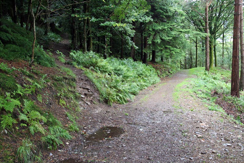
Later in the afternoon, the rain stopped so I made the short journey to Lanthwaite Wood

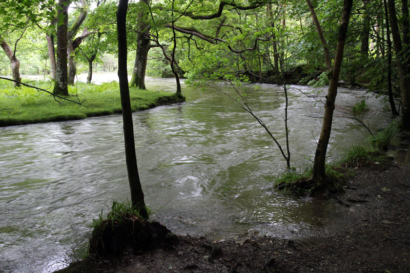
The River Cocker was in full spate after all the rain
I turned off the main path to head uphill
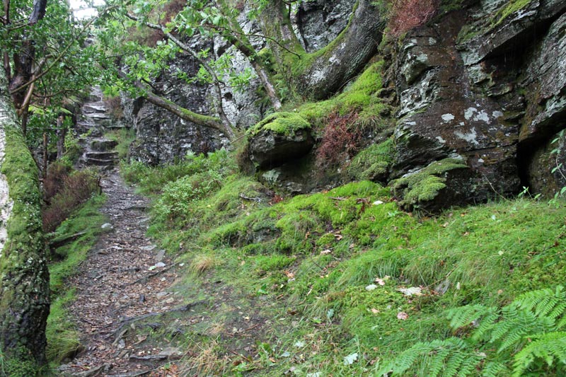
Climbing up the rocky steps

Lanthwaite Hill

Whiteside from the hill
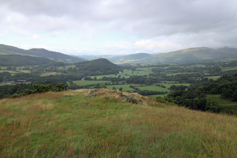
Sweet Lorton Vale

Grasmoor looming over Lanthwaite Green

Looking towards Loweswater - and the Kirkstile Inn, where we’ll be in a couple of hours time
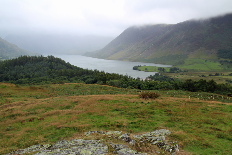
Crummock Water, with Mellbreak on the right

Back in Lanthwaite Wood

Grasmoor

The boat house on the east shore of Crummock Water

The path along the east shore leading to the head of the lake
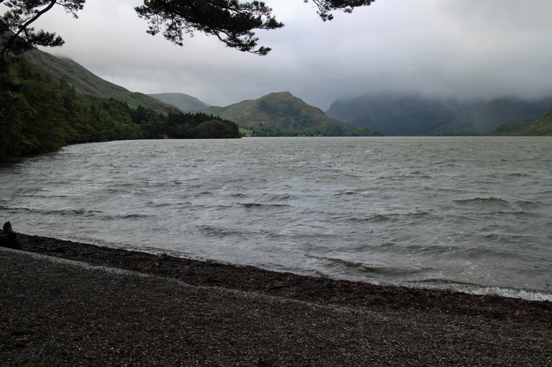
The head of the lake - the only fell that can be seen today is Rannerdale Knotts

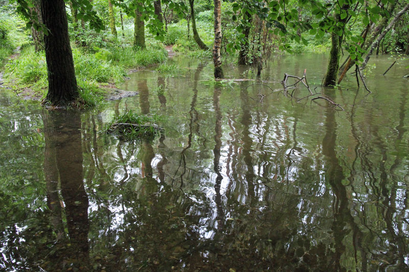
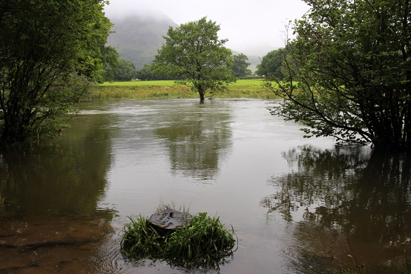
A bit of wading was needed to get to the footbridge on the right
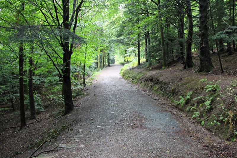
The path back through Lanthwaite Wood
I dropped down to a lower path in order to follow the swollen river for a while
…but soon had to climb back up to the main path
Nearly back to the car park, a last look at the River Cocker

An hour later at the Kirkstile Inn - it had been grey for most of the day but it was a golden ending
