
Route: Hulne Park, Alnwick
Area: Northumberland
Date of walk: 20th March 2020
Walkers: Andrew and Gilly
Distance: 5.6 miles
Ascent: 400 feet
Weather: Mostly sunny
The market town of Alnwick lies in the heart of some beautiful countryside, none more so than the historic parkland surrounding Alnwick Castle. Northumberland Estates owns and manages much of this land, and a number of circular routes have been devised on its land in the Alnwick area. Hulne Park, one of the parks within the larger estate, is a medieval hunting ground of thousands of acres that provided food and wood for Alnwick Castle, and is entirely enclosed by a 3 metre high perimeter wall
The park is one of the most popular areas within the wider estate, and 3 waymarked trails of different lengths exist here. Today there was only one possibility, the ‘red route’, as maintenance work was being carried out on the others. If you plan to walk here I suggest you visit the Northumberland Estates website to check access arrangements. Access is not allowed before 11am, nor are dogs or cyclists. Entry is free
On a glorious early spring morning we parked outside the entrance to Hulne Park and set off down Farm Drive. This is a tarmac section, but since there is no vehicular access except for contractors and a few residents, there’s little or no traffic
On reaching Park Farm we left Farm Drive and crossed the River Aln via Iron Bridge. Hulne Priory, also known as Hulne Abbey, came into view and we climbed the small hill on which it was built. The Abbey was founded in 1240 by the Carmelites, and the ruins are well preserved. After wandering around the ruins for a while we set out on the return leg, most of it being beside the River Aln, with some venerable old trees along the way
The landscape, designed by Capability Brown, was beautiful throughout the whole course of the walk, and we hope to return one day to explore the other routes in the parkland
Click here for another walk in Alnwick
Click on the icon below for the route map (subscribers to OS Maps can view detailed maps of the route, visualise it in aerial 3D, and download the GPX file. Non-subscribers will see a base map)

Scroll down – or click on any photo to enlarge it and you can then view as a slideshow

Dawn breaks on the final day of our walking holiday on the Northumblerland coast. We didn't know it at the time, but the spread of the Covid-19 virus would lead to drastic travel restrictions in a few days time, making this our last walk for an indefinite period

The Bathing House near Howick, our base this week

We arrive at opening time, 11am, and park outside the entrance to Hulne Park. There is plenty of roadside parking here

The pass through the entrance, Forest Lodge - vehicles are not permitted beyond this point

An avenue of dawn redwood, metasequoia glypstostroboides, runs along both sides of the drive beyond the entrance

We cross a bridge over Stocking Burn and continue along Farm Drive

Farm Drive

Hollin Hill...


Further along Farm Drive

Having left Farm Drive at a red waymark, we follow the Red Route, or Walk 3


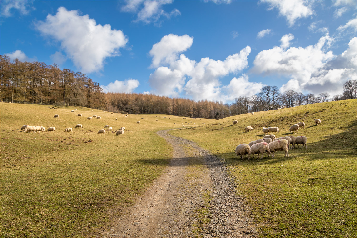
Idyllic Capability Brown landscape

Iron Bridge over the River Aln

We cross Iron Bridge

Palmstrother Drive is on our left, but we turn right immediately after the bridge

Hulne Priory, founded in the 13C by Carmelite Friars, who thought that Brizlee Hill resembled Mount Carmel in the Holy Land

Entrance to Hulne Priory, also known as Hulne Abbey

The priory is the earliest Carmelite foundation in the country, and one of the best preserved

We wander around the ancient ruins for a while...


Leaving the priory

We follow a track down to the River Aln, which will be our companion for much of the return leg

The River Aln

We follow the riverside path...


Views back along the path, known as Lady's Well Drive


Looking back along the River Aln from Monk's Bridge by the weir...


The River Aln again...


Ancient trees, one of the highlights of the walk...


We arrive back at the avenue of dawn redwood leading back to Forest Lodge at the entrance to the park

Forest Lodge, and the end of a wonderful walk - the last one for some time to come

Back on the Northumberland coast, a full rainbow and a symbol of hope
Follow the link for more walks in Northumberland (29)
