
Route: Sergeant Man, High Raise, Thunacar Knott and Harrison Stickle
Area: Central Lake District
Date of walk: 14th March 2013
Walkers: Andrew and Gilly
Distance: 6.5 miles
Ascent: 2,300 feet
We parked in the National Trust car park at Dungeon Ghyll. The conditions looked fine. We’d been very lucky with the weather on our walks this year, and have had some spectacular days out, but on this day our luck ran out
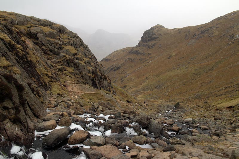
We walked up the path alongside Stickle Ghyll as far as Stickle Tarn – so far so good – but at that point the clouds came in and it started to snow. Visibility was very poor and we debated whether or not to carry on. Having invested time and effort to get to the tarn, we decided to soldier on, but the conditions gradually deteriorated and we had no views at all for most of the walk. Very frustrating as we knew that the surrounding scenery was dramatic and beautiful
The first summit was Sergeant Man (2,414 feet), we then had an easy climb to High Raise (2,500 feet) and an even easier one to Thunacar Knott (2,351 feet).
The last fell was Harrison Stickle (2,404 feet), and we then descended below Loft Crag along the path back to the hotel
Click on the icon below for the route map (subscribers to OS Maps can view detailed maps of the route, visualise it in aerial 3D, and download the GPX file. Non-subscribers will see a base map)

Scroll down – or click on any photo to enlarge it and you can then view as a slideshow

The path alongside Stickle Ghyll

Footbridge over the Ghyll

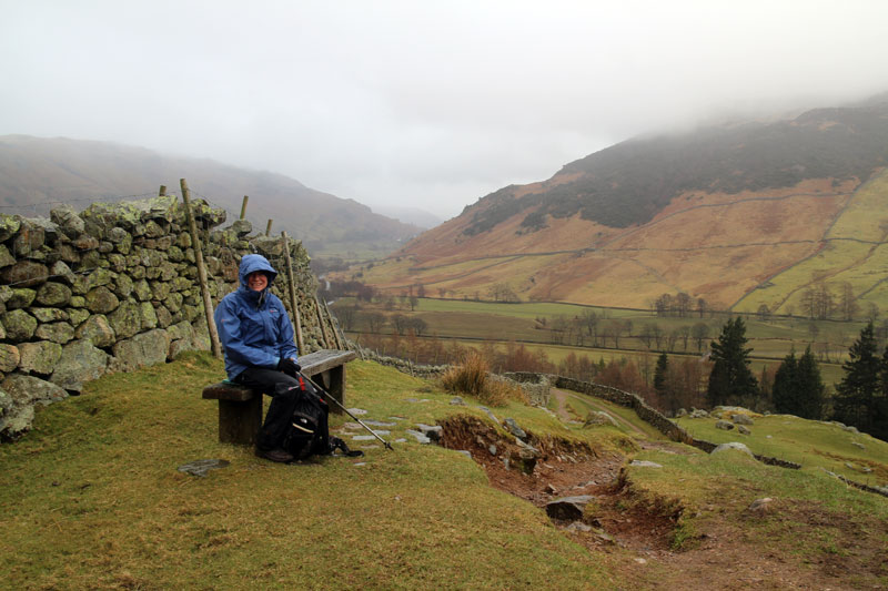
Looking back over Langdale
The views start to deteriorate

Stickle Tarn with Harrison Stickle in the background - we shall be up there later

Stickle Tarn again

Bonnie, with the tarn now far below

The first summit - Sergeant Man

On the way to the next fell, High Raise

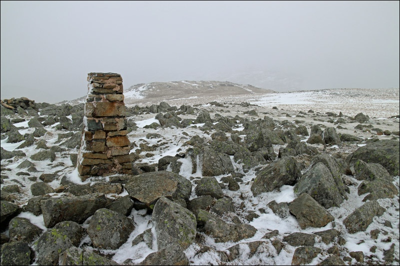
High Raise summit
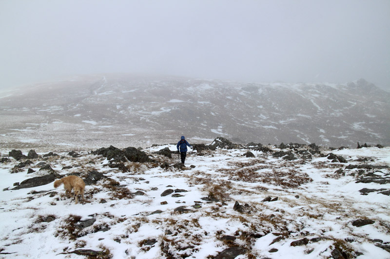
It was bleak up here
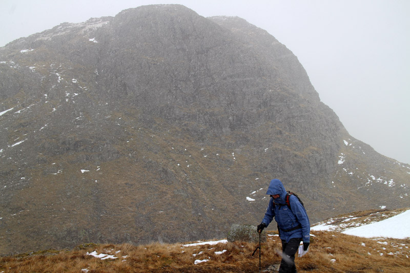
Thorn Crag. It was snowing heavily at this point

The path back down into Langdale

Side Pike on the other side of Langdale

Dungeon Ghyll - the snow had turned to rain as we got closer to valley level
The walk had been........interesting
