
Route: Hethpool and College Burn
Area: Northumberland
Date of walk: 15th March 2020
Walkers: Andrew and Gilly
Distance: 6.3 miles
Ascent: 900 feet
Weather: Sunny spells, very strong winds
Following yesterday’s coastal walk, we decided to ring the changes and head inland. We drove over to Hethpool on the fringes of the Cheviot Hills, and only a few miles from the Scottish border. Just beyond the tiny village there’s a free car park with a noticeboard and, having parked there, we walked back past Hethpool cottages. We then crossed the bridge over College Burn and set off along a gently rising path
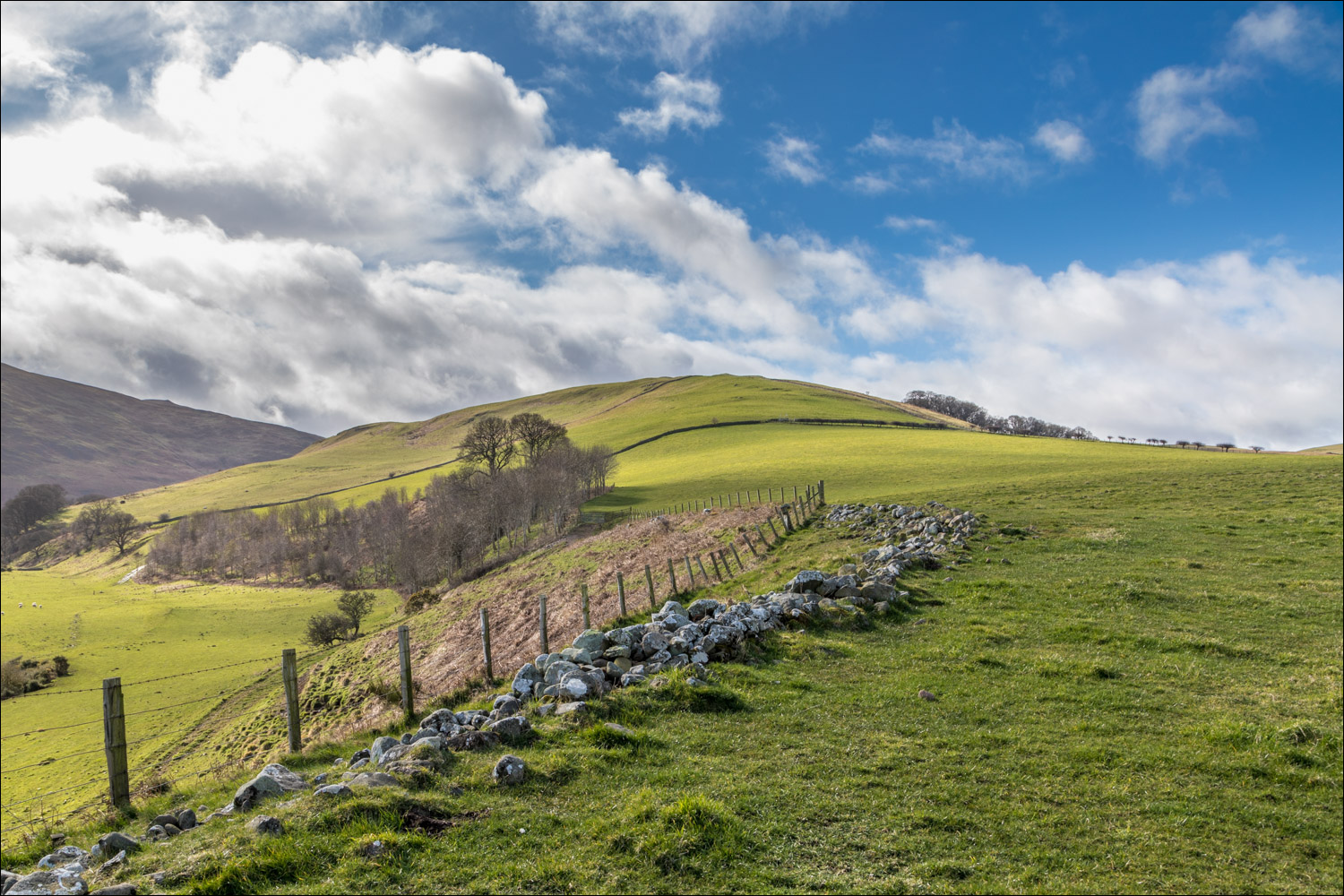
We were surrounded by several of the Cheviots, and there was a real feeling of remoteness as we climbed gently to the high point of the walk, Torleehouse at 590 feet. From here it was a long but easy descent (made easier by gale force winds at our backs) as we headed down into the Glen Valley
We arrived at the small and scattered village of Kirknewton, signalling the start of the return leg. At the end of the village we ignored the first public footpath sign to Hethpool, as this involves fording College Burn. After all the recent rain, we doubted that the ford would be passable. Instead, we crossed the road bridge over the burn and joined a permissive footpath (not shown on the OS maps). The path ran along the foot of The Bell. Instead of descending to College Burn to join the public footpath we continued above it – the two paths met up a little later on
The final section was along a narrow path above College Burn lined with gorse and brambles. This could become overgrown during summer months, and anyone wearing shorts and t-shirt on this path would be lucky to avoid scratches along the way. We eventually arrived back at Hethpool and from here retraced our steps back to the start of an excellent walk in Northumberland’s hill country
Click on the icon below for the route map (subscribers to OS Maps can view detailed maps of the route, visualise it in aerial 3D, and download the GPX file. Non-subscribers will see a base map)

Scroll down – or click on any photo to enlarge it and you can then view as a slideshow

The inviting College Valley from the car park outside Hethpool, but our route lies the other way

We follow the minor road to Hethpool cottages, and will turn right on reaching them

We cross College Burn, here looking towards Great Hetha

We follow a track, part of St Cuthbert's Way

Looking across to Hethpool on our left

The Bell and West Hill

Looking back along our path

We pass by an old sheepfold

Cheviot Hills beyond Hethpool

We pass through the farm at Torleehouse

Looking back

We descend gently towards the Glen Valley, with Yeavering Bell on our right. The hill is capped by the largest prehistoric fort in Northumberland, unseen from here

Windswept trees along the way

The Glen Valley ahead

We descend to Old Yeavering

We pass by some cottages in Old Yeavering

A carved cheviot goat on a gatepost

We follow the quiet road to Kirknewton

Kirknewton

The Church of St Gregory the Great

Beyond Kirknewton we continue along the road for a short distance

We cross the three-arched stone bridge over College Burn (just before this there is a public footpath signed for Hethpool, but this involves fording the burn)

We follow the alternative path just beyond the road bridge

The start of the return leg to Hethpool, with College Burn a constant companion to our left

Looking back along our path

We follow a path around the foot of The Bell

Views back along the path...


The path narrows as we enter a woodland section

We didn't encounter any other walkers during the entire walk, apart from this toad


Great Hetha in the background

We cross this tributary over College Burn

Out of the woods now as we continue in the direction of Great Hetha

We follow the path towards Hethpool

Hethpool Manor, and here we turn left to retrace our steps back to the end of an excellent walk in the Cheviot Hills

We return to our temporary base, the Bathing House near Howick

Dunstanburgh Castle further north along the coast

Dramatic skies at dusk...

Follow the link for more walks in Northumberland (29)
