
Route: Hayburn Wyke
Area: North Yorkshire
Date of walk: 8th January 2017
Walkers: Andrew and Gilly
Distance: 4.5 miles
Weather: Sunny
The name ‘Hayburn Wyke’ hints as to the history of this part of North Yorkshire. Hayburn is an Anglo Saxon word meaning ‘hunting enclosure by a stream’ and Wyke is the Norse word for ‘sea inlet or creek’ – which combine to describe the landscape which is the subject of today’s walk
We parked just outside the village of Cloughton in one of the few roadside spaces along Newlands Lane. We walked along the lane with enticing views of the North Sea ahead as we did so, and after about ½ mile we joined the Cleveland Way which runs along the top of the cliffs. There were innumerable ups and downs as we followed the cliff top path as far as Hayburn Wyke, which is one of the small bays below the crumbling cliffs. We descended to the stony beach and then retraced our steps for a short distance before climbing up to join the access road which runs past the Hayburn Wyke Inn
Just beyond the hotel we turned off to start the return leg, which follows the course of the disused Yorkshire Coast Railway. This provided a very easy and quick way back to the start
It was a great little walk and one that I can highly recommend
For other walks here, visit my Find Walks page and enter the name in the ‘Search site’ box
Click on the icon below for the route map (subscribers to OS Maps can view detailed maps of the route, visualise it in aerial 3D, and download the GPX file. Non-subscribers will see a base map)

Scroll down – or click on any photo to enlarge it and you can then view as a slideshow

The start of the walk as we cross the bridge over the railway line

We follow the lane towards the North Sea…


Looking across the fields to Scarborough Castle

Hundale Point


We join the Cleveland Way here to start the walk along the cliff tops

Bonnie


Looking back…


Further along the Cleveland Way


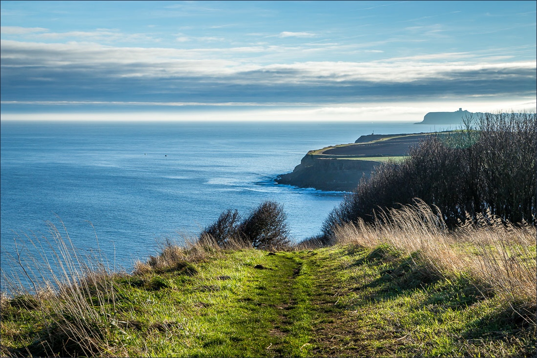
Scarborough Castle in the distance

Looking inland

Approaching Hayburn Wyke


The stony beach of Hayburn Wyke

Waterfall on the beach, as Hayburn Beck tumbles down the cliffs

We climb up through the coastal woodland, managed by the National Trust

We then leave the managed area to head towards the Hayburn Wyke Hotel

The start of the return leg along the disused railway line


Scarborough Castle again


Walkers on the path we’d taken at the start of our walk
