Route: Middle Fell, Seatallan and Buckbarrow
Area: Western Lake District
Date of walk: 23rd February 2018
Walkers: Andrew
Distance: 6.8 miles
Ascent: 2,700 feet
Weather: Sunny spells, fierce winds on the tops with a significant wind chill factor
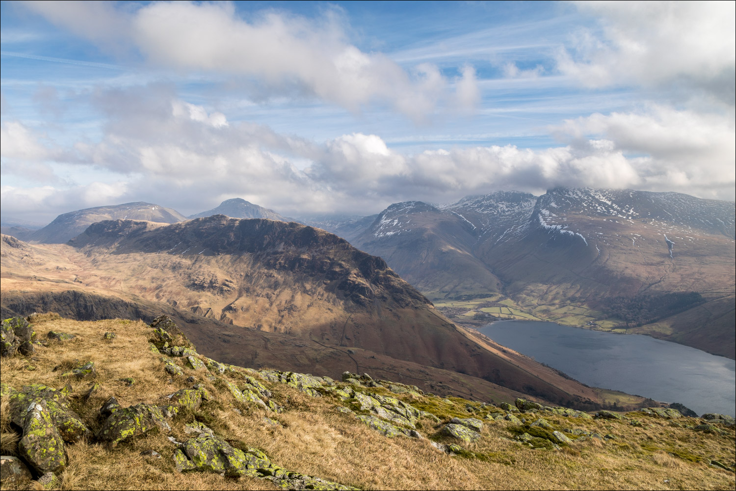
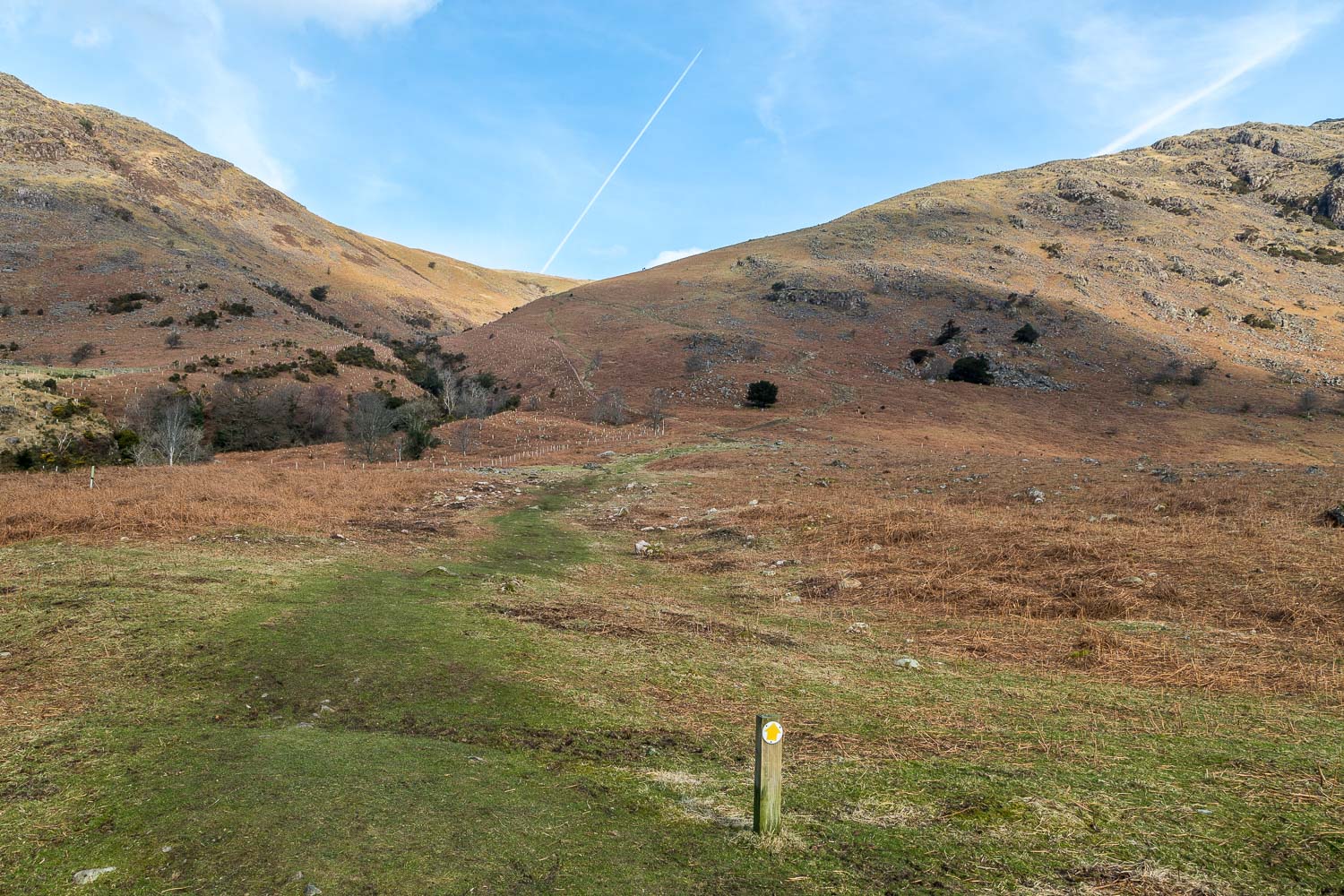
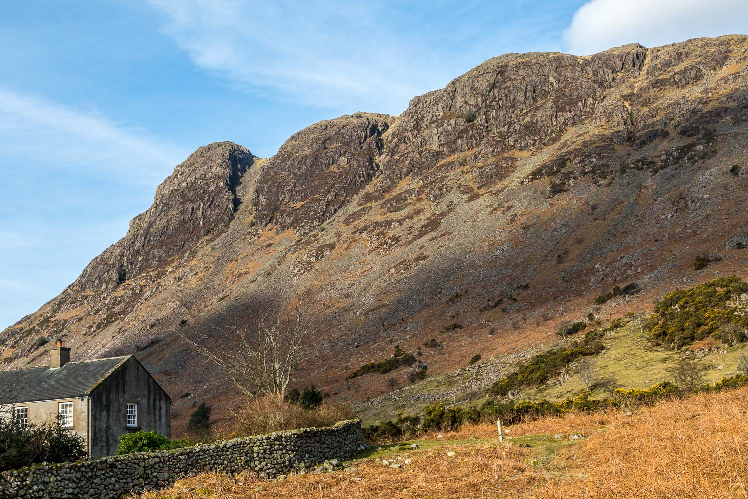
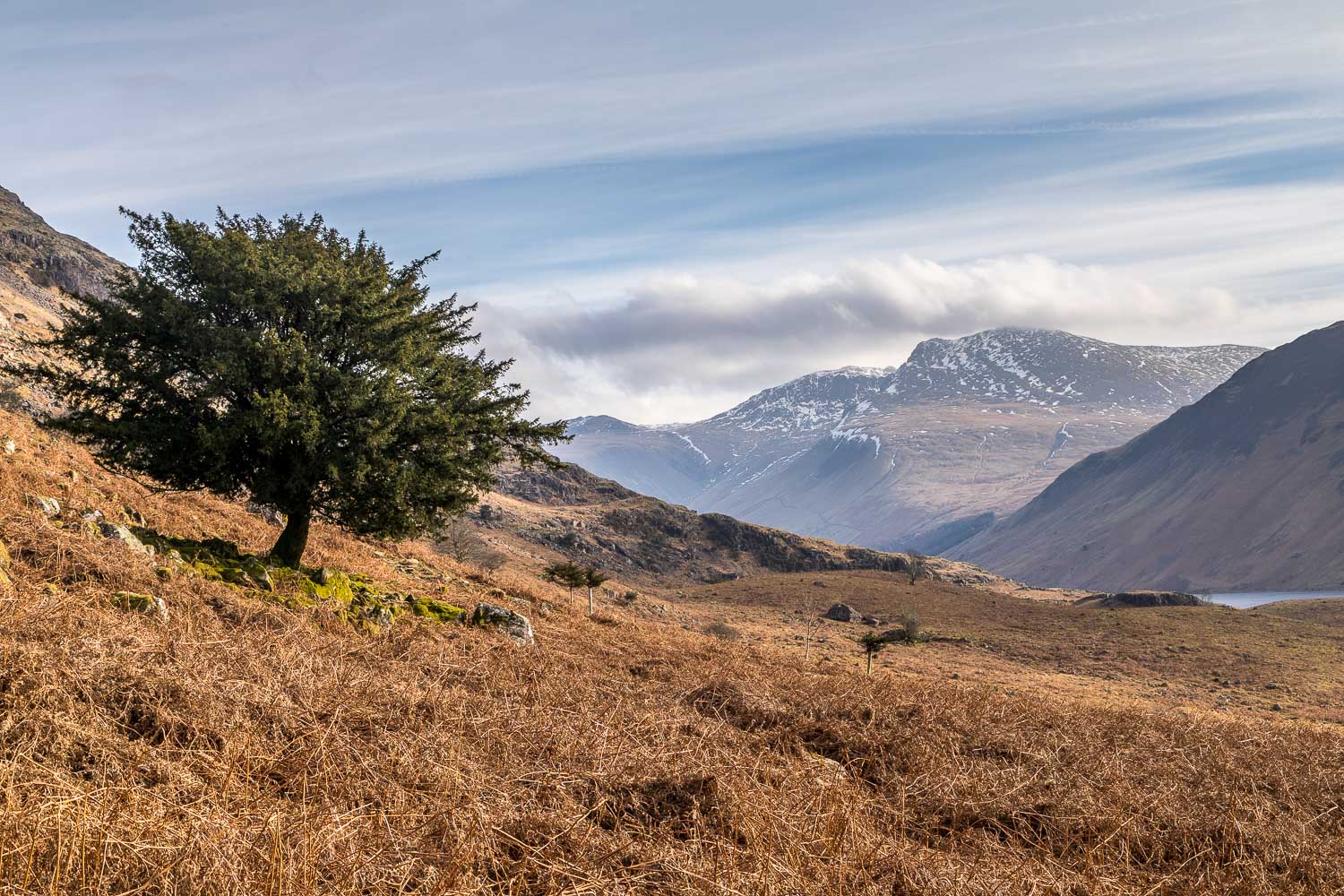
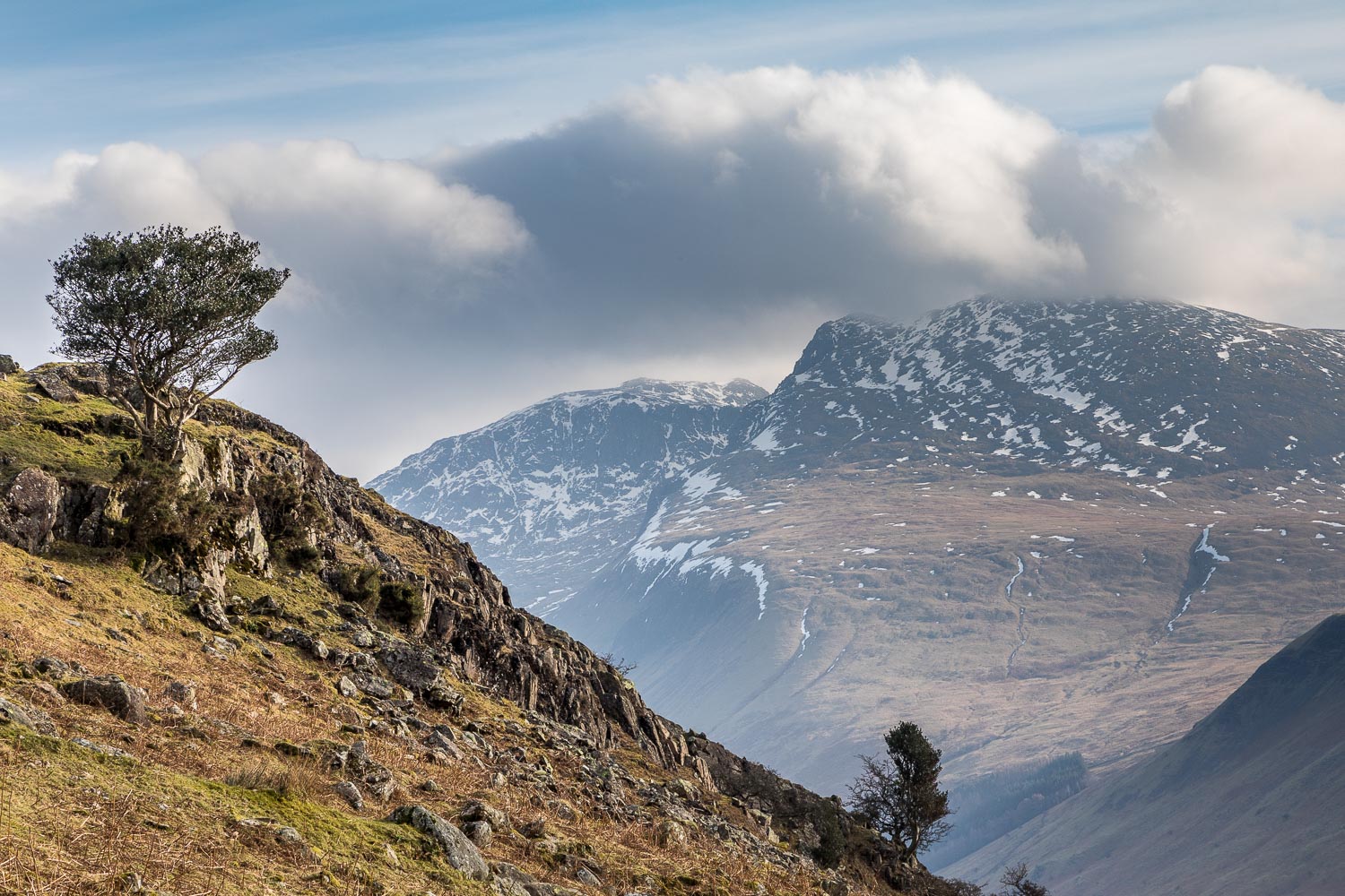
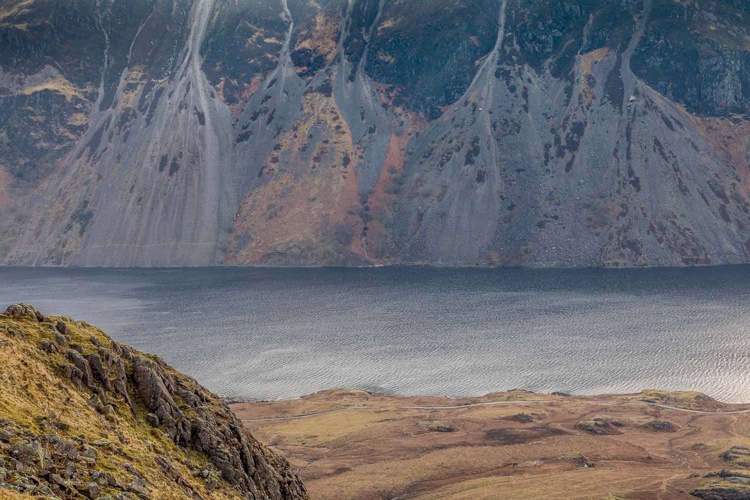
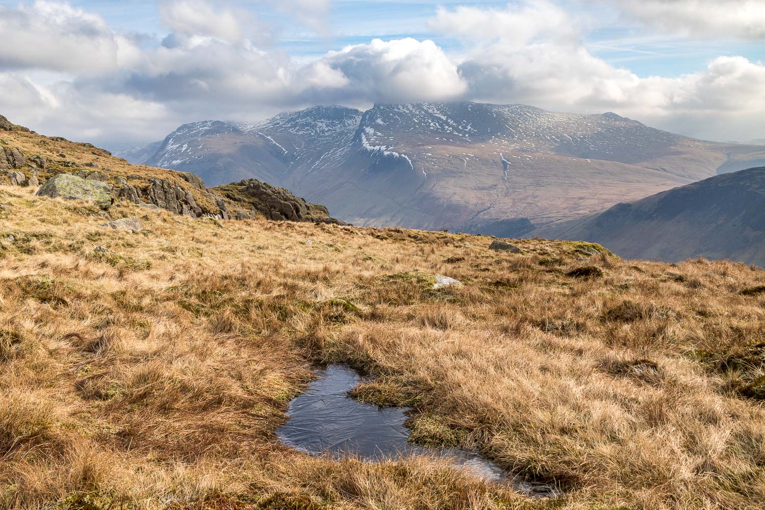
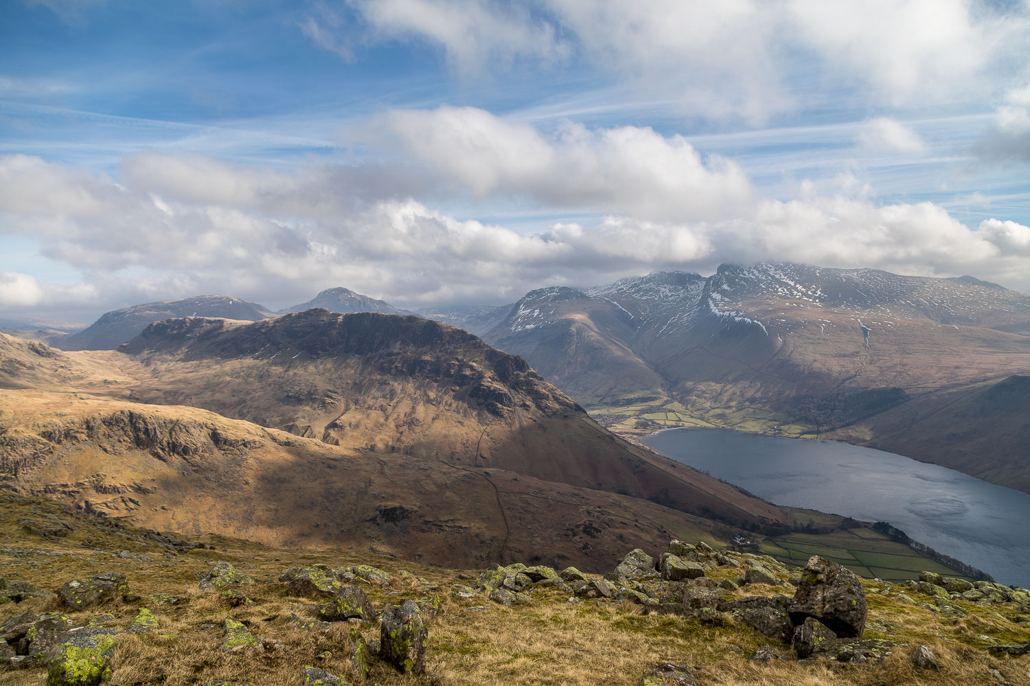
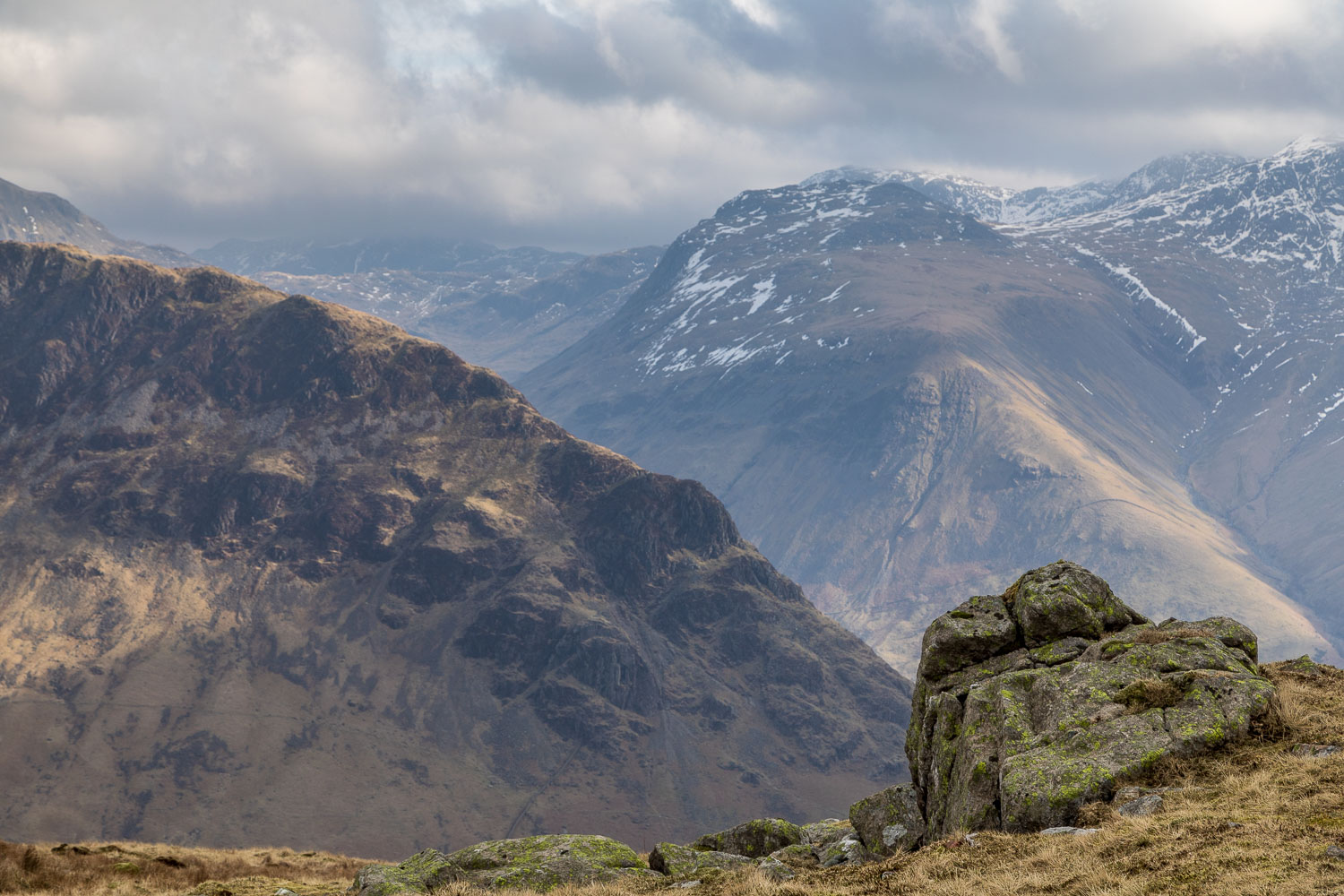
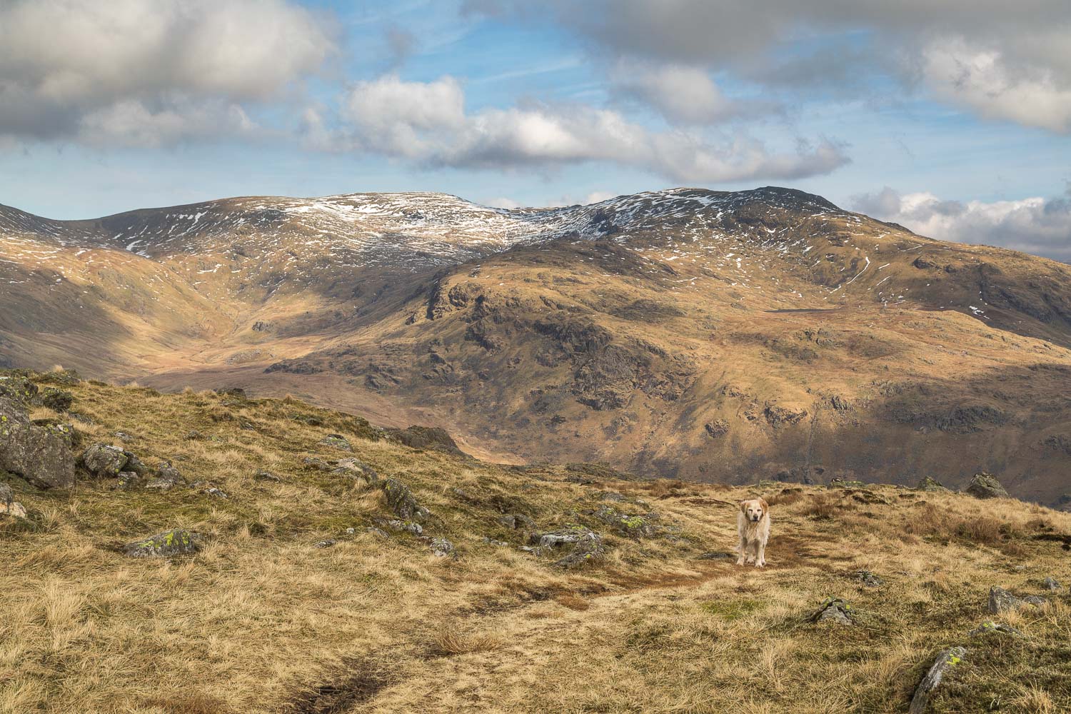
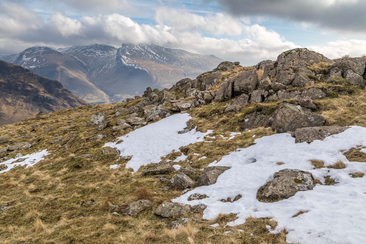
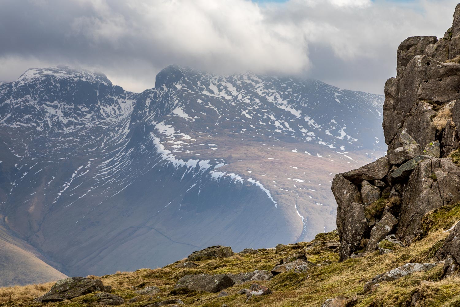
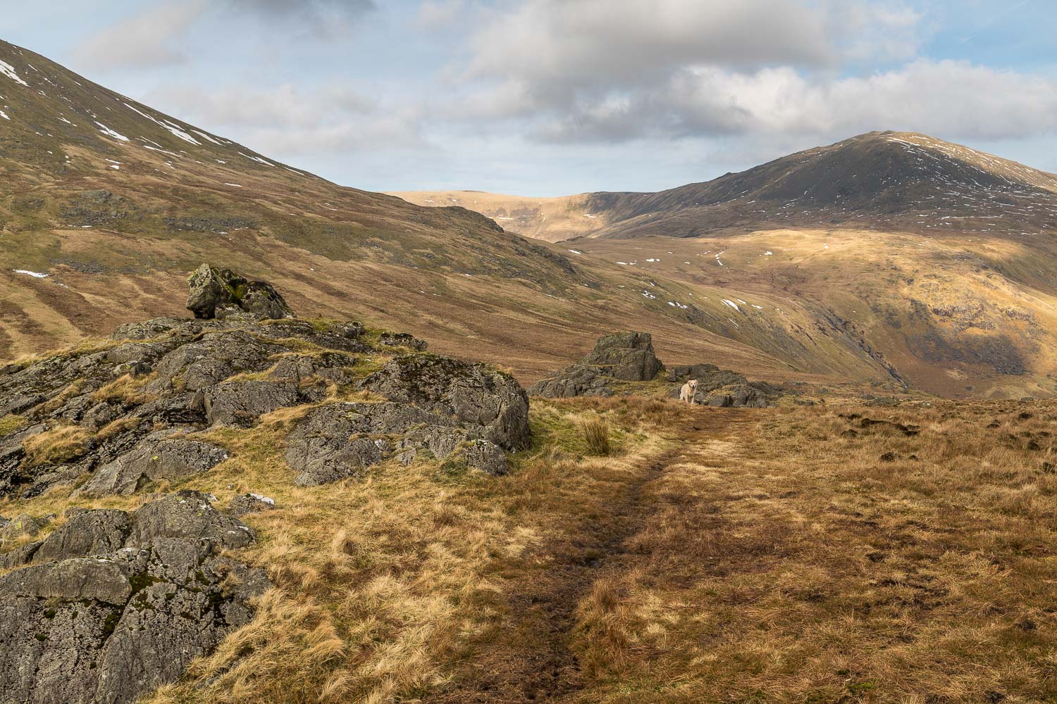
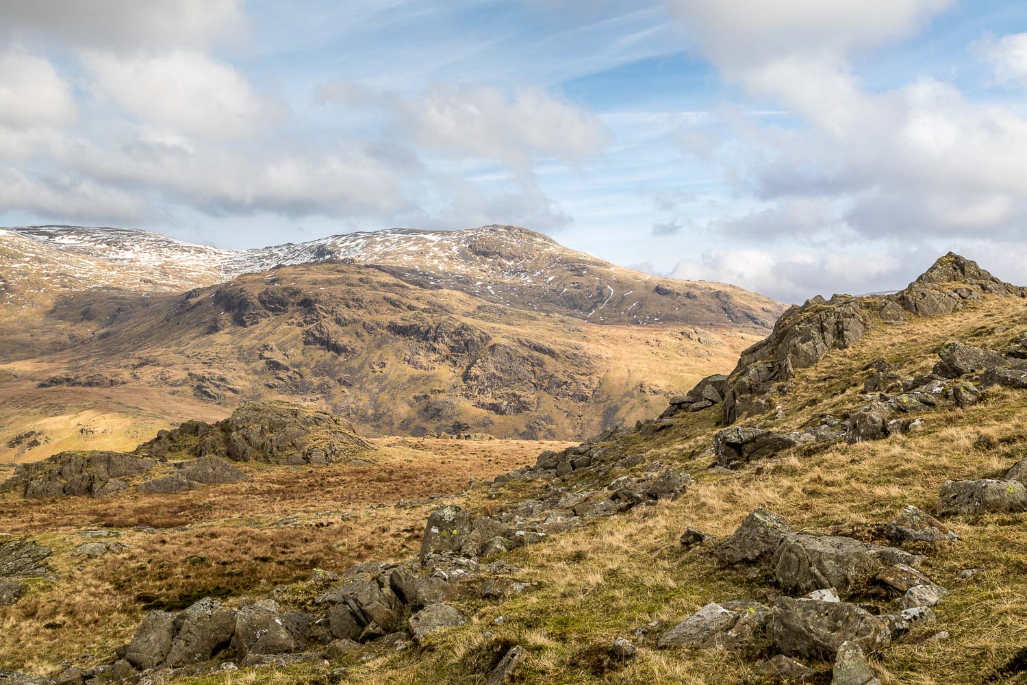
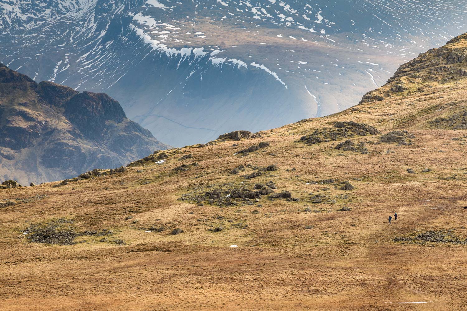
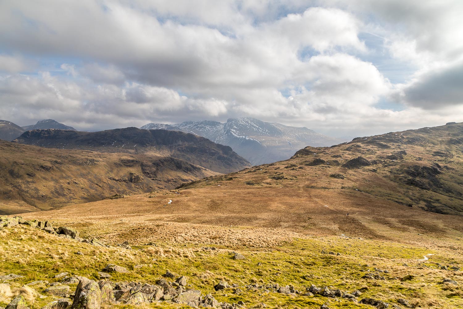
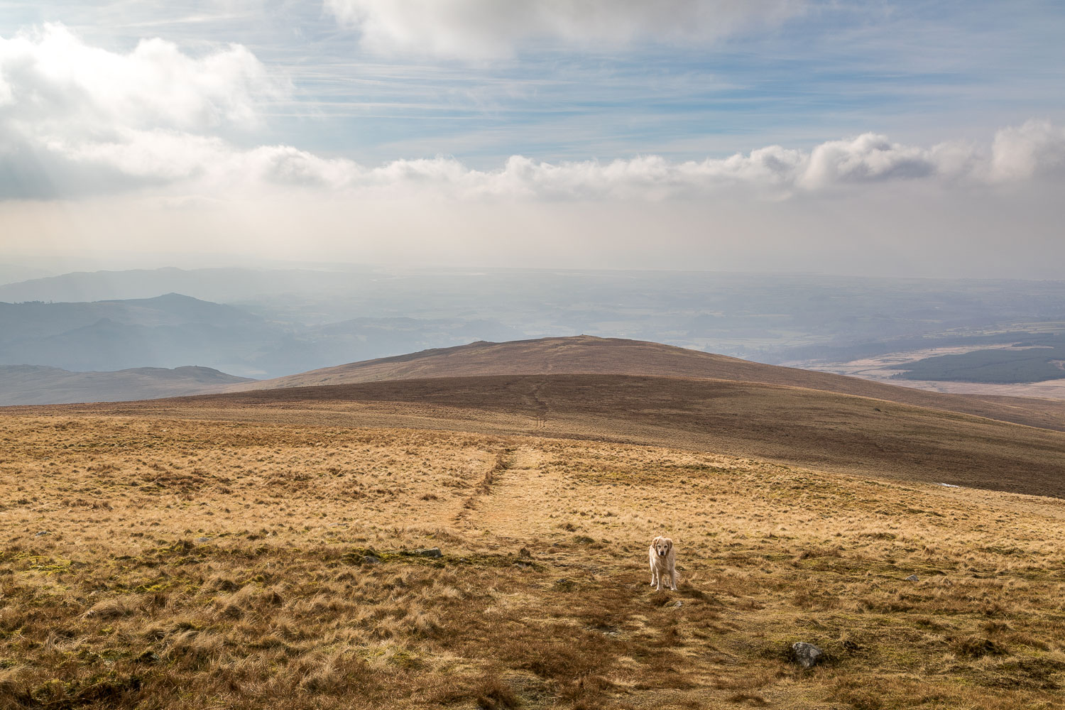
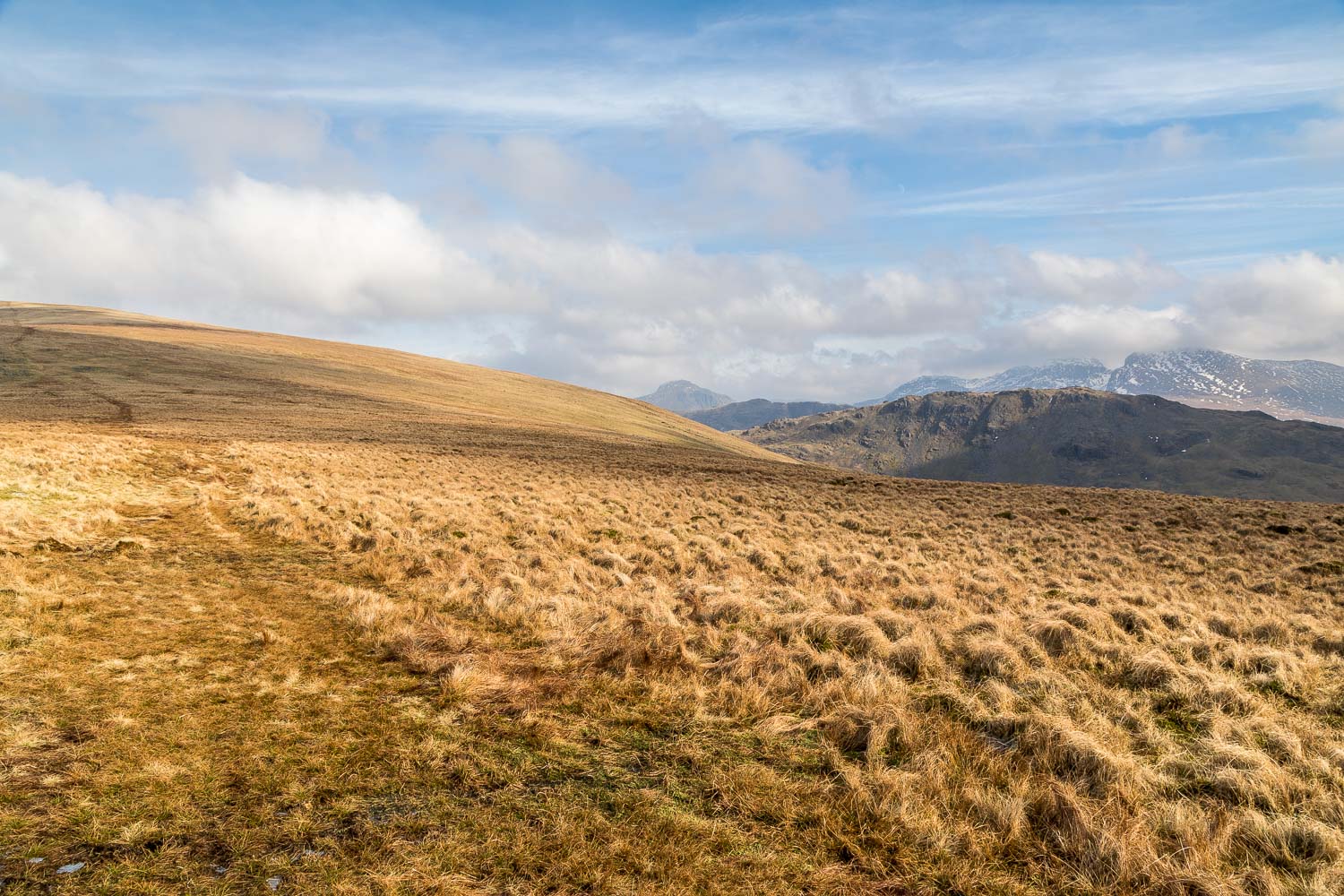
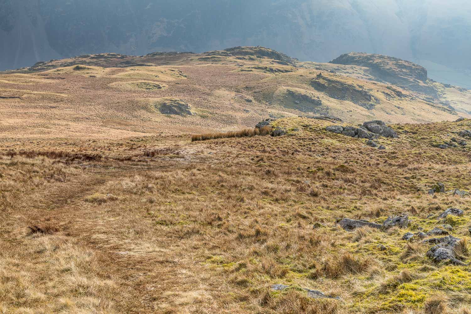
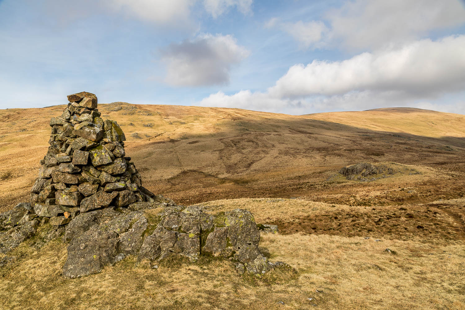
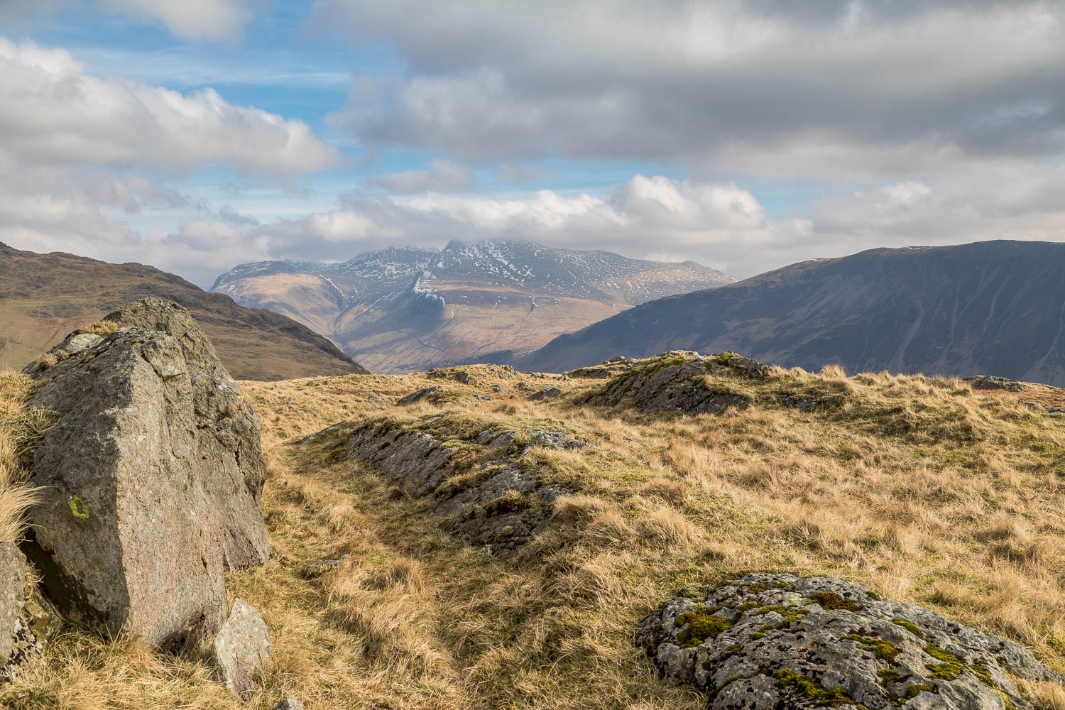
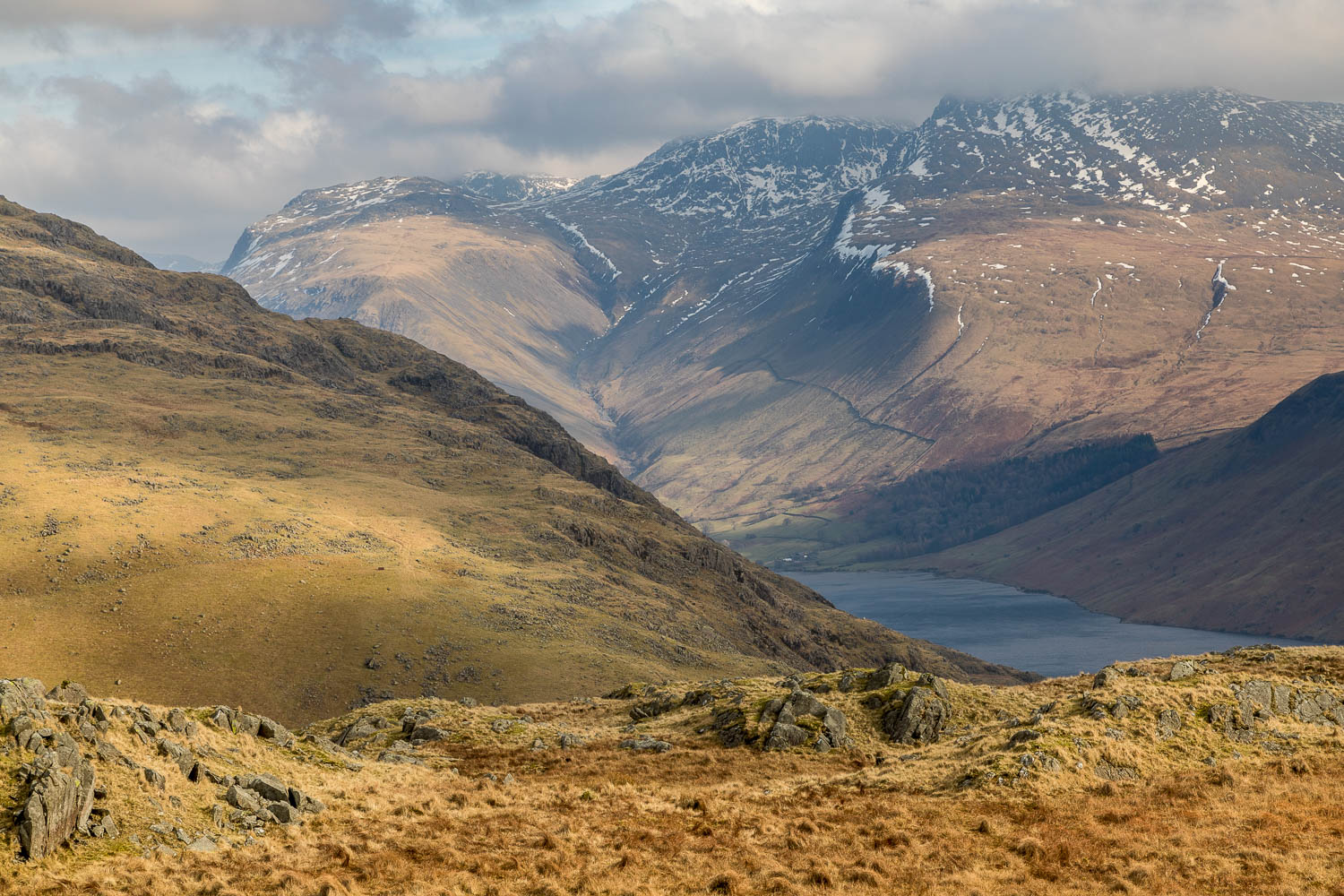
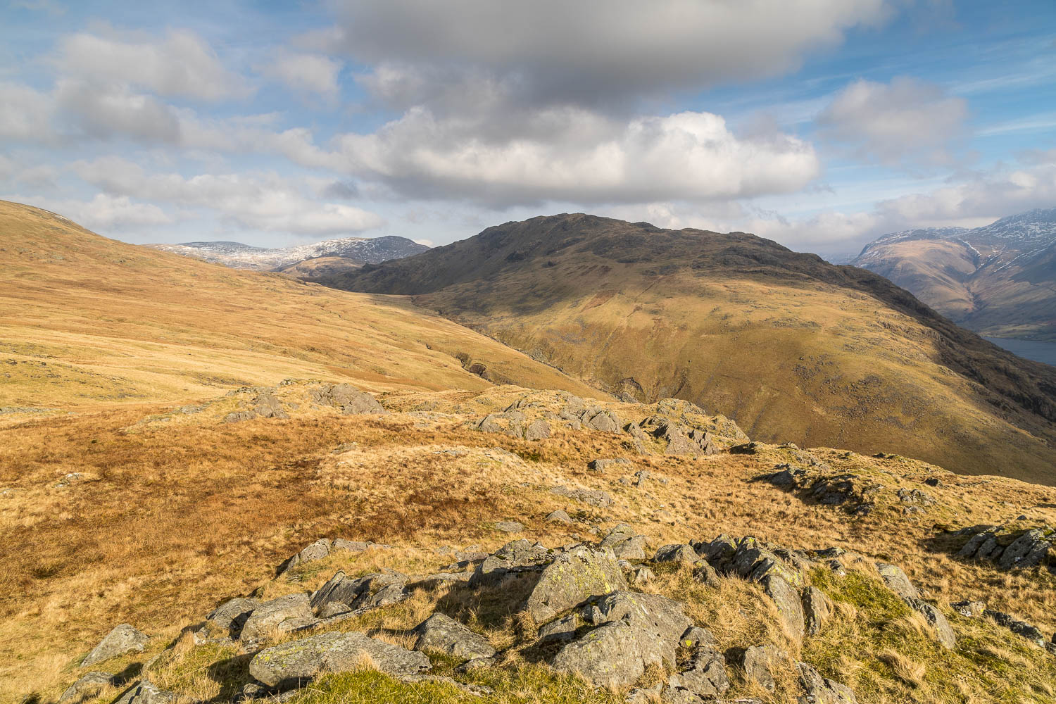
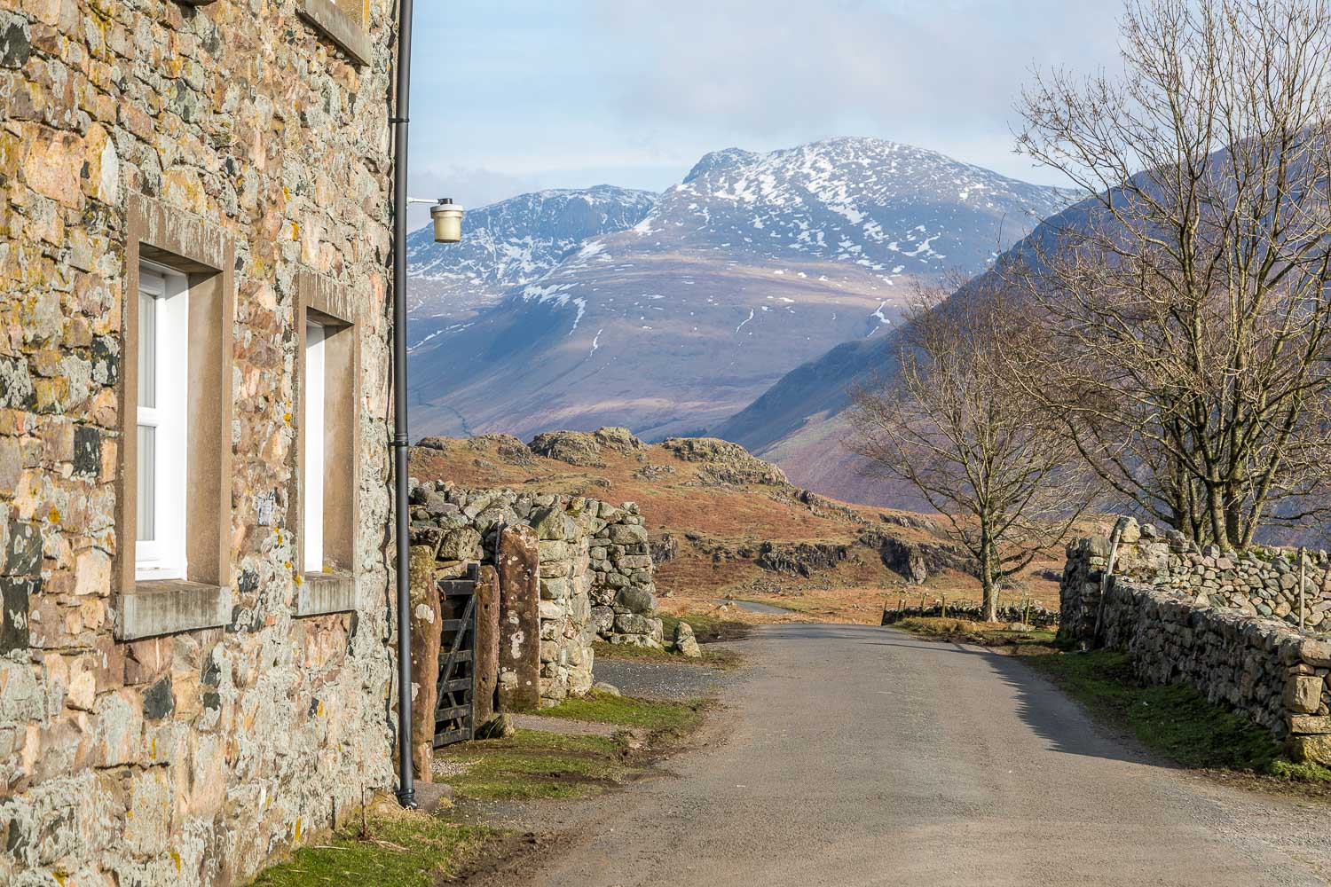
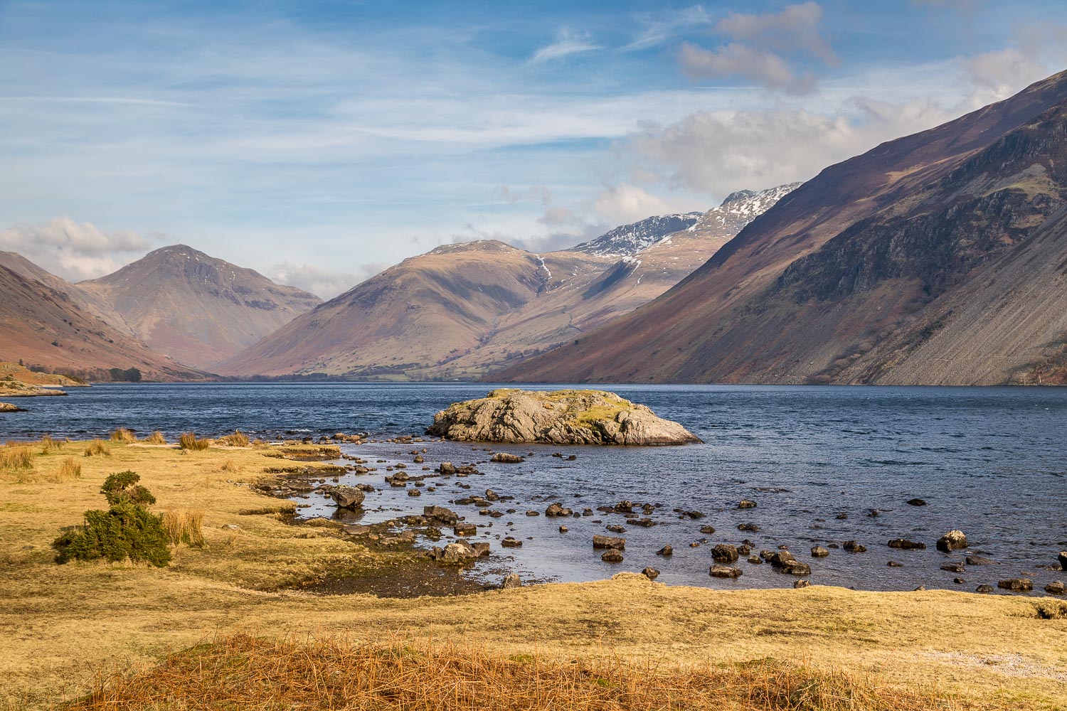
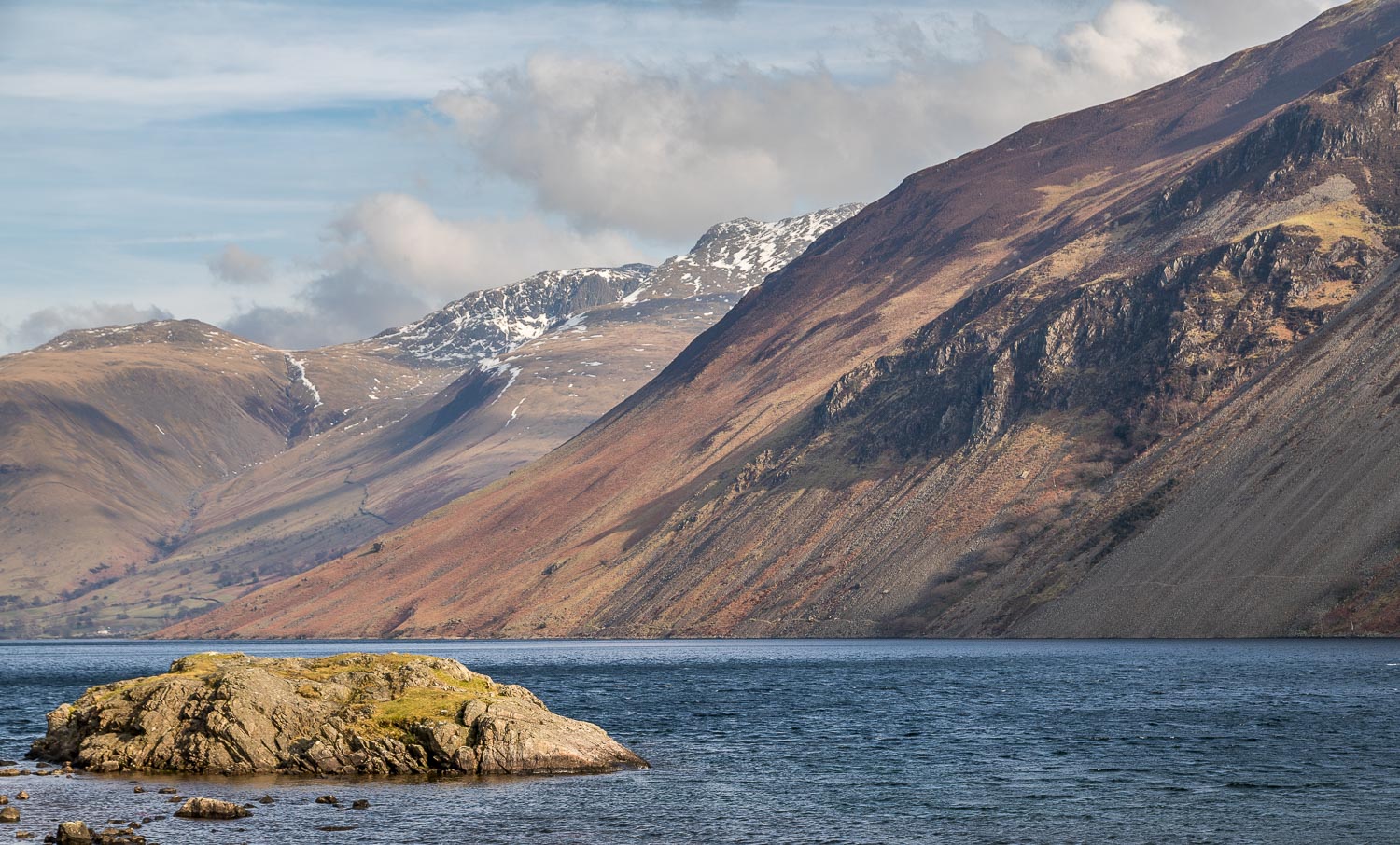
I parked at Greendale, close to the shore of Wastwater, and from here the climb to Middle Fell starts immediately. The initially grassy path follows the course of Greendale Gill, but care has to be taken not to miss a bifurcation to the right at 700 feet. The terrain becomes rockier as height is gained but there are no difficulties. I met 2 other walkers on the summit – the only people I saw on the entire route. We had a brief chat but the bitingly cold and fierce wind meant that standing around talking was not an option. The views towards the Scafells were wonderful but after taking a few quick snaps it was time be be on the move
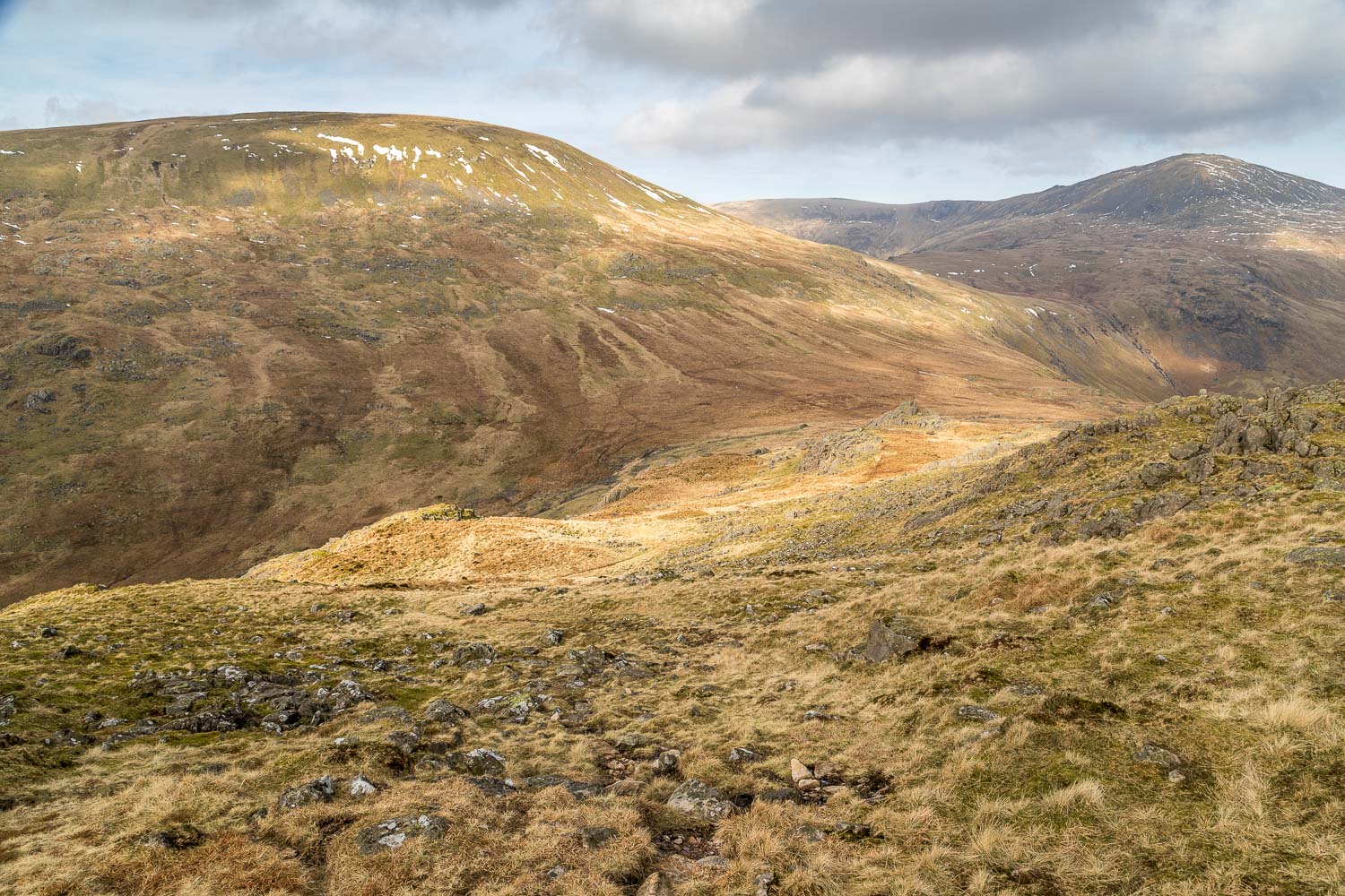
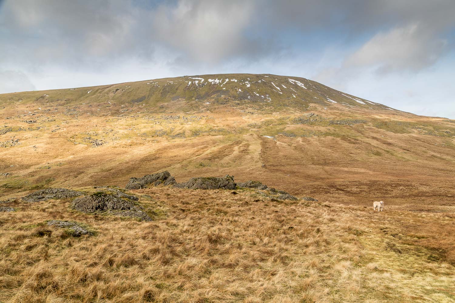
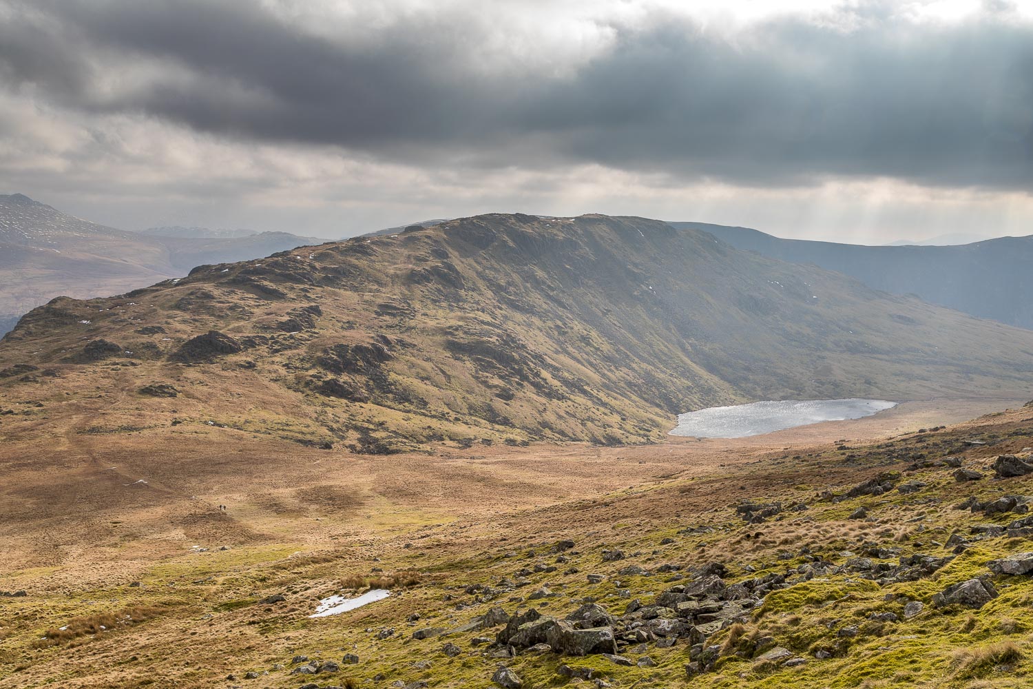
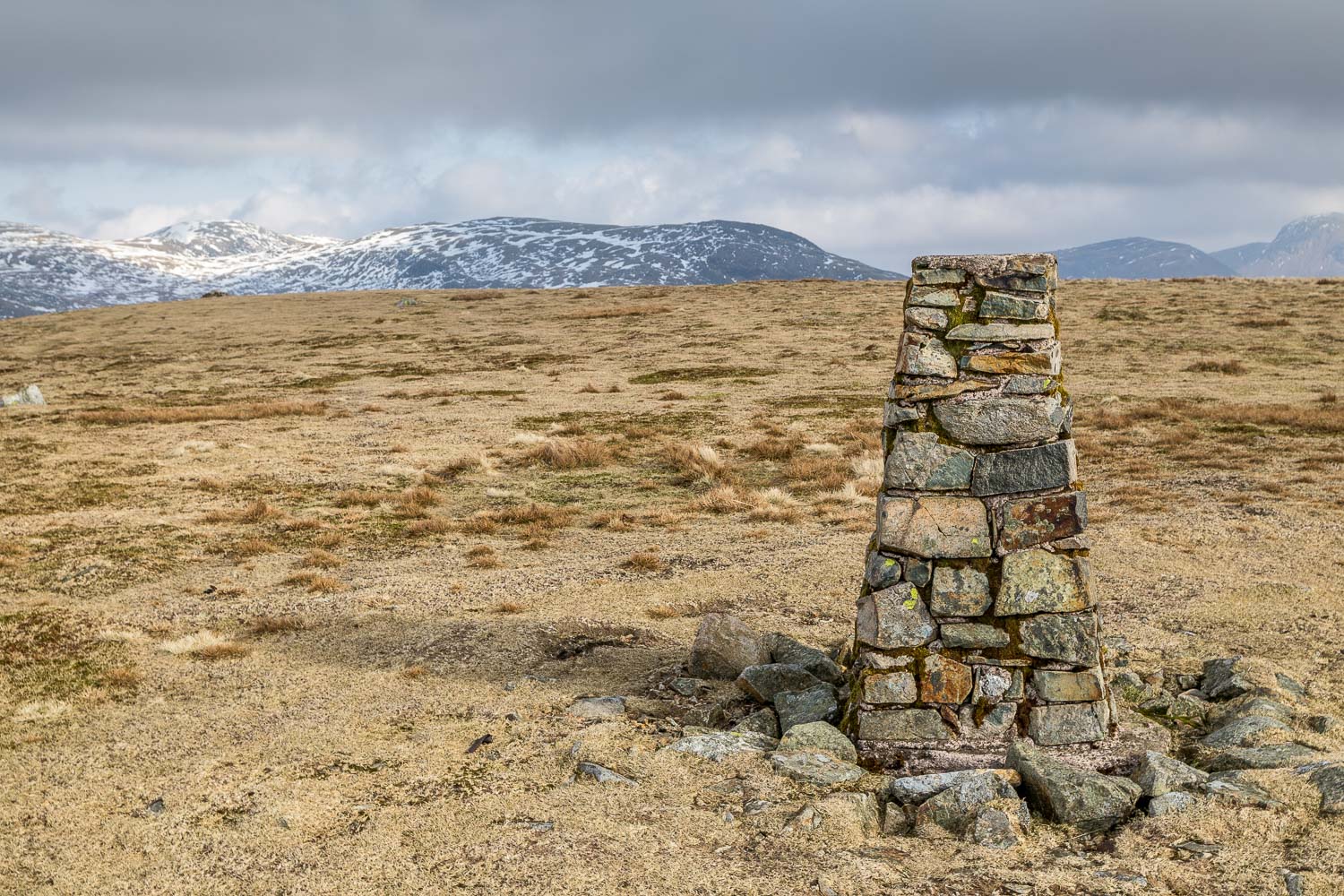
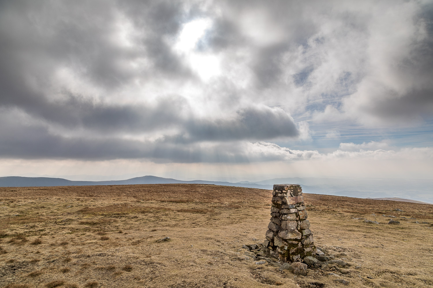
I made my way down to a marshy depression below Seatallan. One of the benefits of the cold weather was that the ground was hard in most places and I was able to keep my boots dry. The way up Seatallan is not obvious from below, but a faint grassy path leads up its slopes. The gradient becomes very steep and towards the end it’s a remorseless and seemingly never ending trudge, made harder today by the wind which was doing its best to blow me off my feet. It was a relief to arrive at the summit of Seatallan, marked by an OS trig point. The views from here are nothing special and so without lingering I set off for the last fell on the round – Buckbarrow
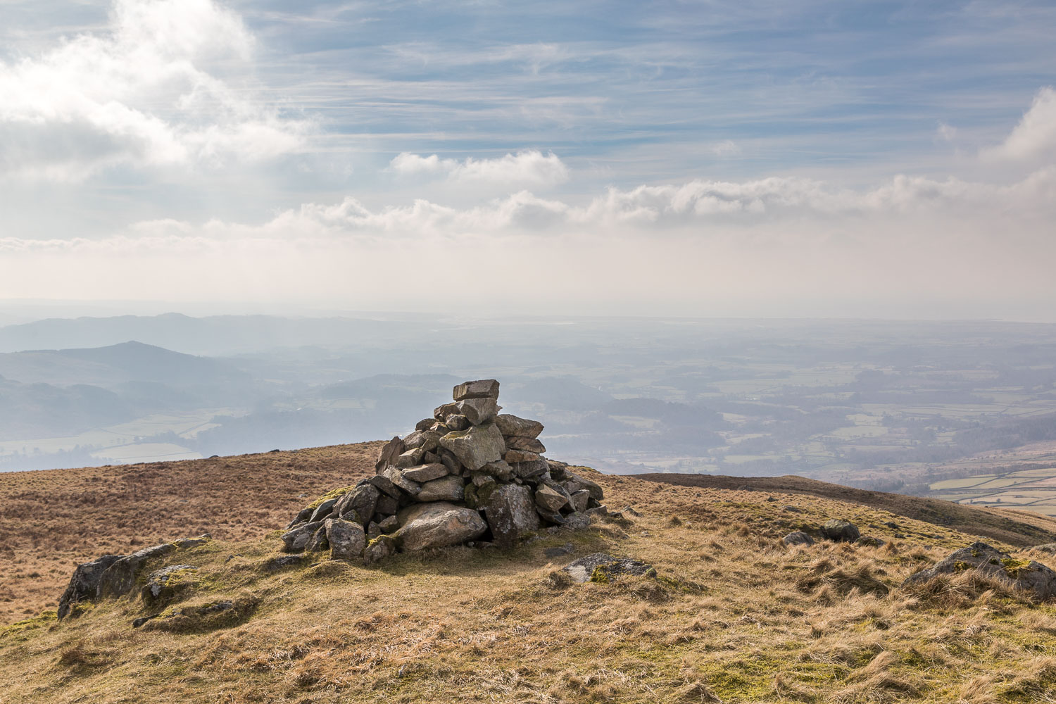
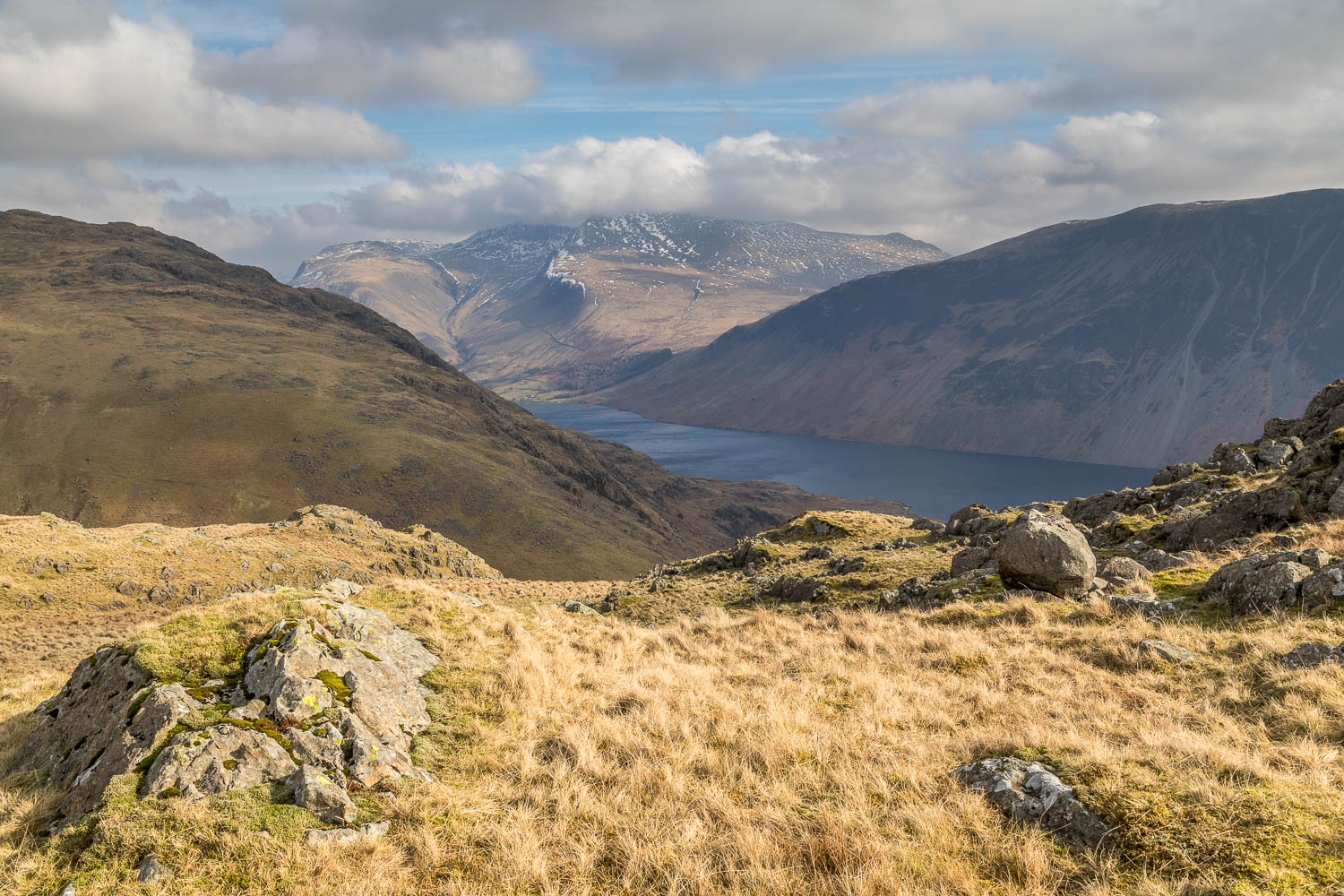
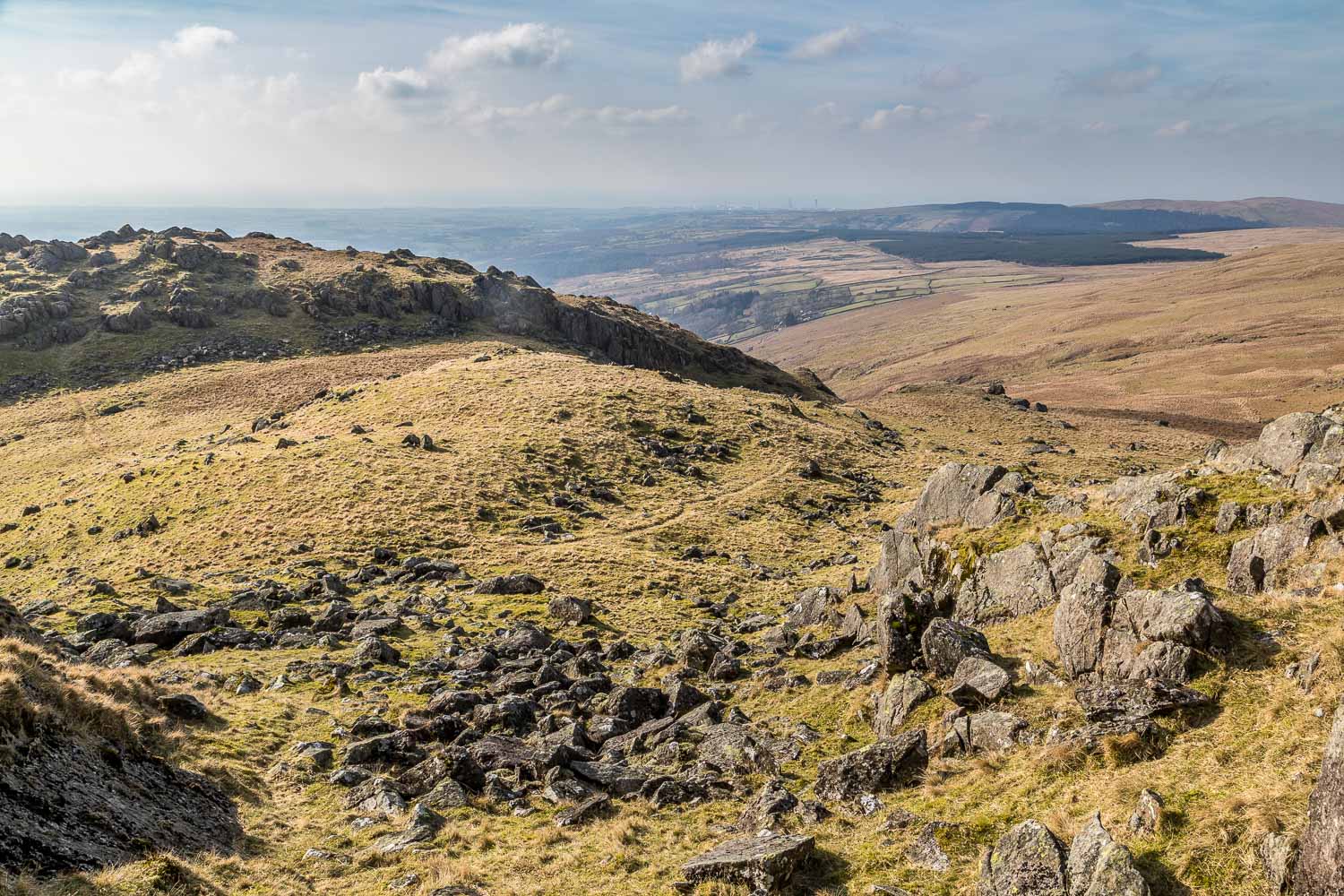
The descent from Seatallan down Nether Wasdale Common to Cat Bields must be one of the easiest miles in lakeland – so easy that I jogged most of the way, assisted by the gentle gradient and a strong wind at my back. At Cat Bields I forked off in the direction of Buckbarrow, a fell which is easily ticked off on this round as it’s almost all downhill to the summit. I wandered around the knobbly top for a while, making a detour to the end of a rocky spur from where the views are breathtaking
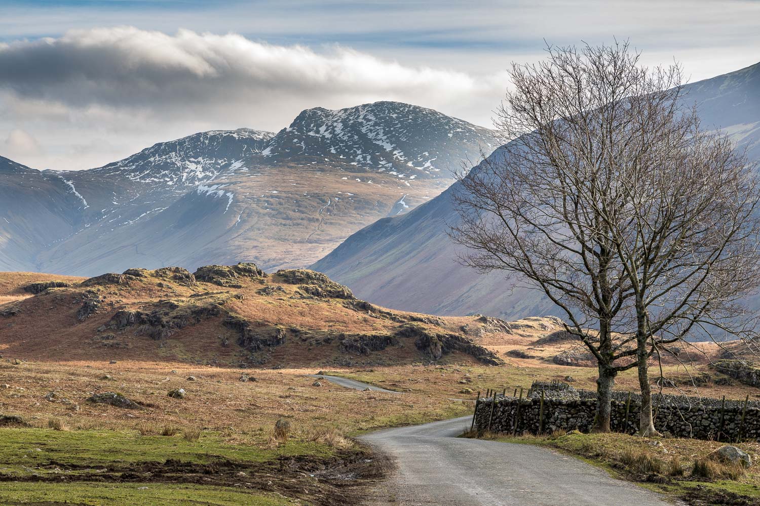
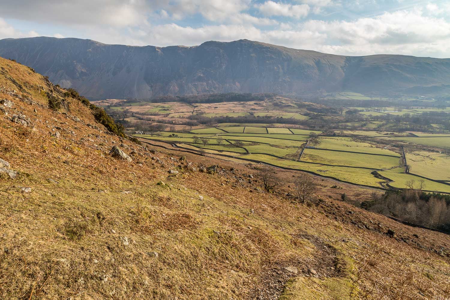
Thanks to the sheer crags on the south of the fell it’s necessary to take a circuitous route down to the valley and this involves a steepish descent by the side of Gill Beck. Having arrived at the valley road I followed it back to Greendale and the end of a wonderful walk, made especially memorable by the views of the Scafells
For other walks here, visit my Find Walks page and enter the name in the ‘Search site’ box
Click on the icon below for the route map (subscribers to OS Maps can view detailed maps of the route, visualise it in aerial 3D, and download the GPX file. Non-subscribers will see a base map)
Scroll down – or click on any photo to enlarge it and you can then view as a slideshow
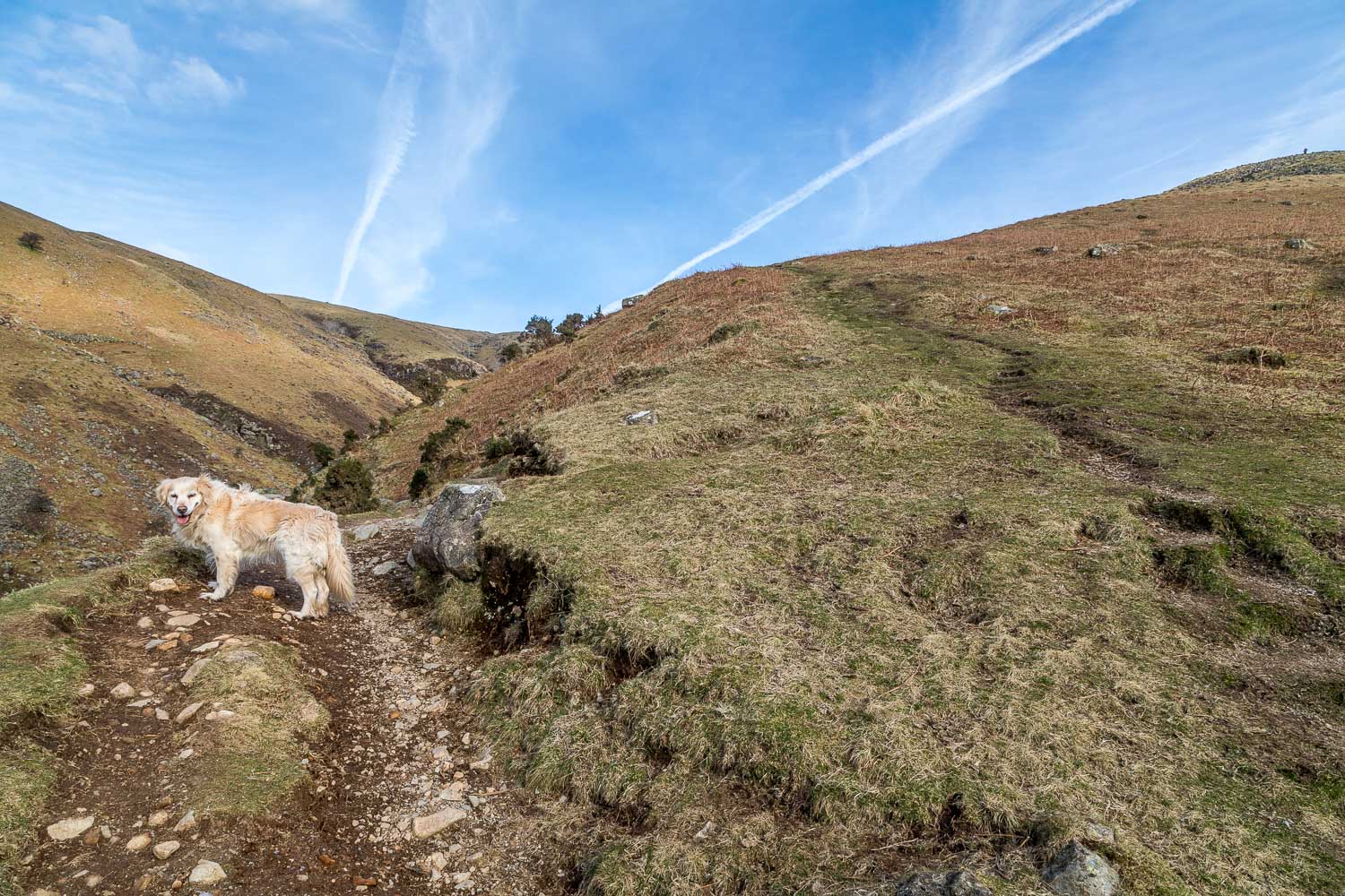
The main path continues beside Greendale Gill, but I fork off to the right here to continue up Middle Fell
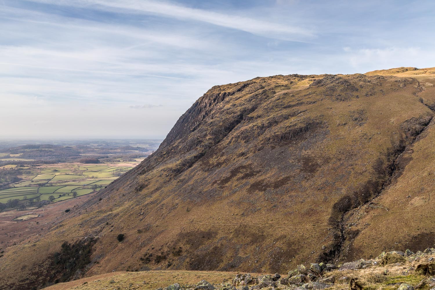
Looking across to Buckbarrow, the last fell on the round, and where I'll be in about 3 hours time. The Irish Sea is beyond, obscured by the haze
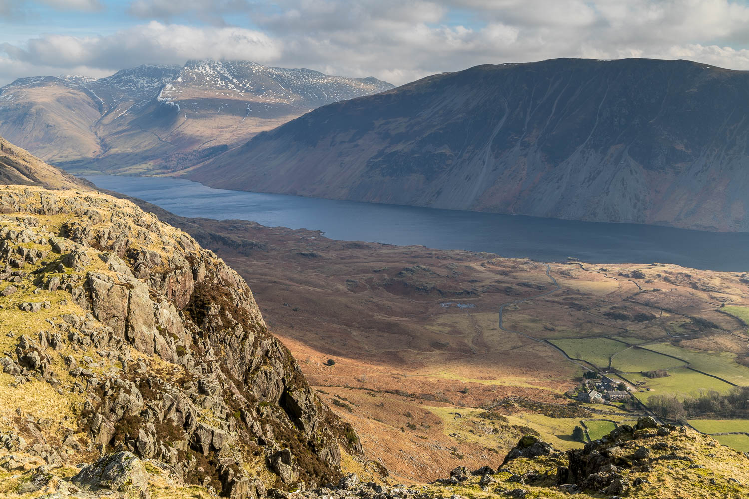
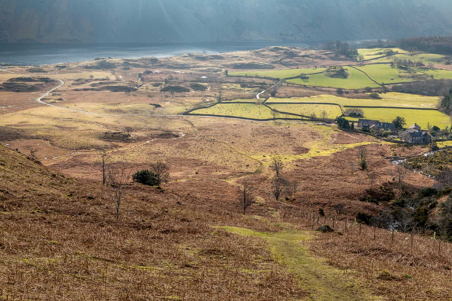
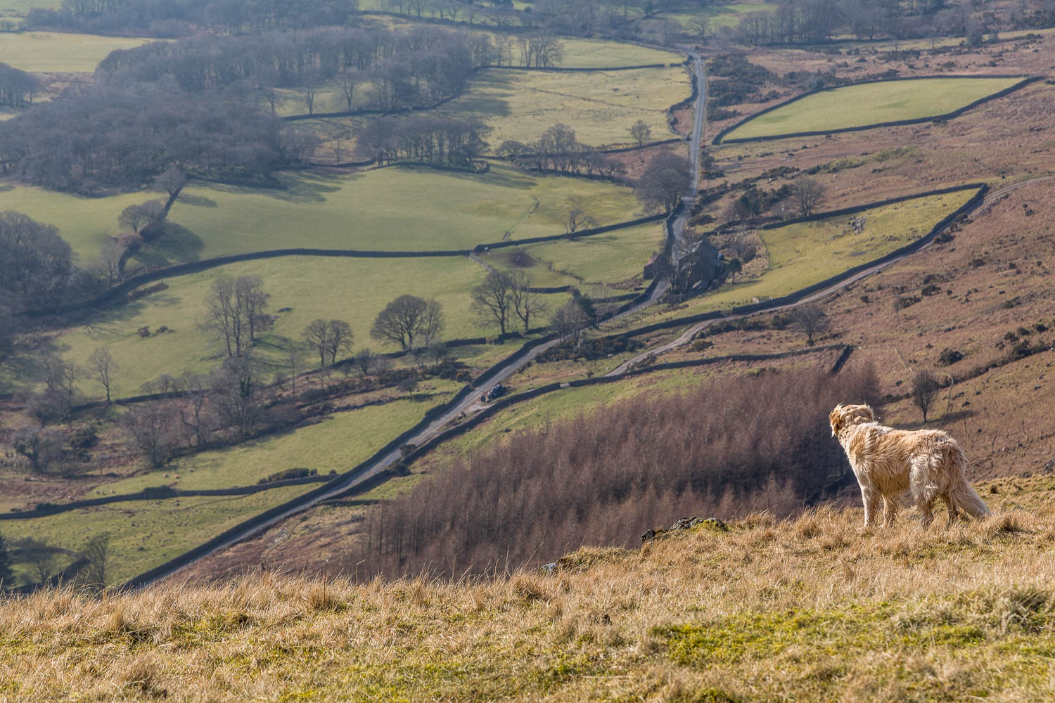
A view down to the start point at Greendale bottom right, but a direct descent from here is impossible
