
Route: Grange
Area: North Western Lake District
Date of walk: 7th February 2013
Walkers: Andrew and Gilly
Distance: 9.9 miles
Ascent: 1,100 feet
The weather was overcast. We parked at Grange and followed the Allerdale Ramble over the shoulder of Castle Crag and along a lovely elevated footpath (approx 800 feet) to Seatoller. We then continued to Seathwaite, the wettest place in England, though it kept dry for us that day. This marked the furthest point from the start.
We returned along the other side of Borrowdale via Rosthwaite.
It was a beautiful walk even though the weather was dull.
For other walks here, visit my Find Walks page and enter the name in the ‘Search site’ box
Click on the icon below for the route map (subscribers to OS Maps can view detailed maps of the route, visualise it in aerial 3D, and download the GPX file. Non-subscribers will see a base map)

Scroll down – or click on any photo to enlarge it and you can then view as a slideshow

The start of the walk - Grange in Borrowdale

Castle Crag

Bonnie in the Derwent

The Allerdale Ramble, looking back towards Skiddaw

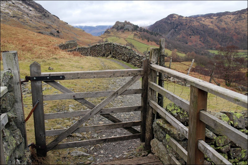
Castle Crag, at 951 feet the lowest of the Wainwright Fells

Another view back towards Skiddaw

Taken from the same place, this time looking ahead towards the Borrowdale Fells

Rosthwaite in the Borrowdale Valley

A view back to Castle Crag

Borrowdale

Descending to Seatoller

Nearly at Seathwaite, overlooked by Seathwaite Fell

Seathwaite, time to head back along the other side of the valley

River Derwent

The River Derwent again, near the end of the walk
