Route: Forge Valley
Area: North Yorkshire
Date of walk: 18th June 2022
Walkers: Andrew and Gilly
Distance: 5.4 miles
Weather: Sunny at first clouding over later
Note: this route cannot be followed as described at present, see below
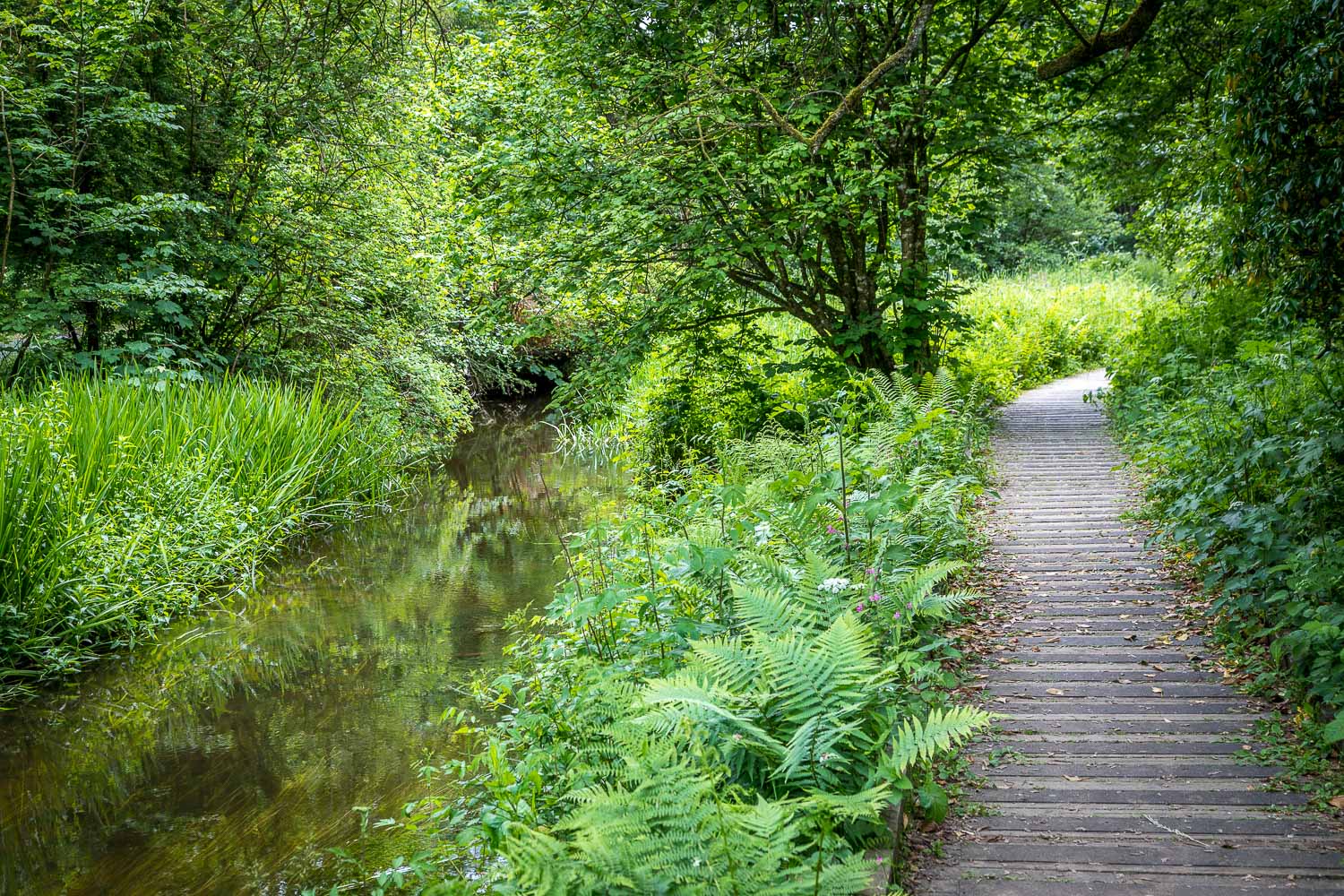
The boardwalk walk through the woods of Forge Valley is one which I’ve trodden many times, and it’s a joy at any time of the year. As we discovered half way through today’s walk, its future is now uncertain – more of which later
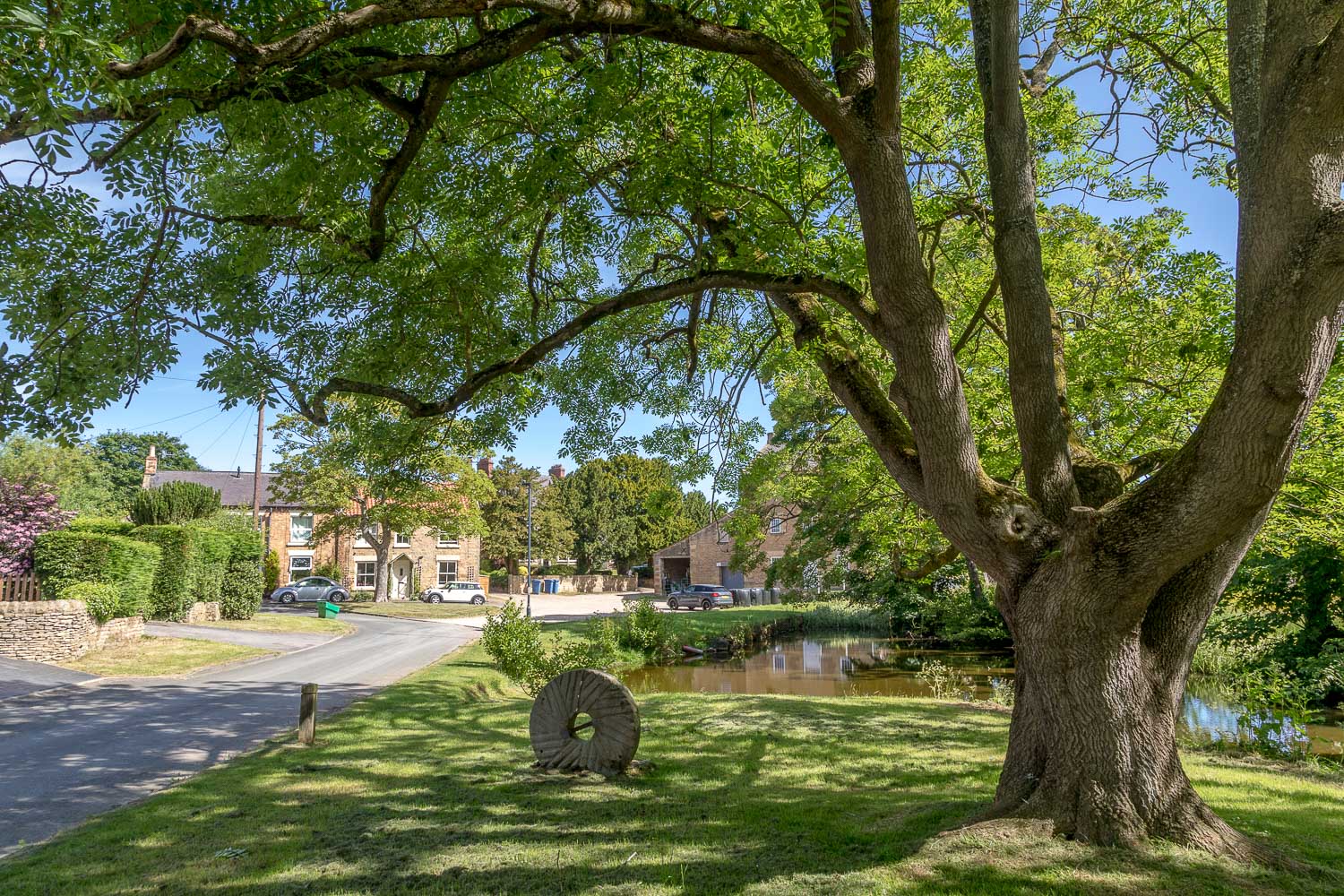
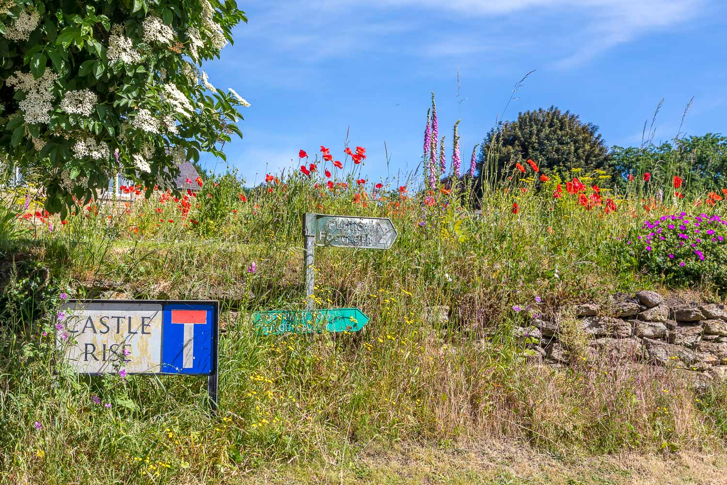
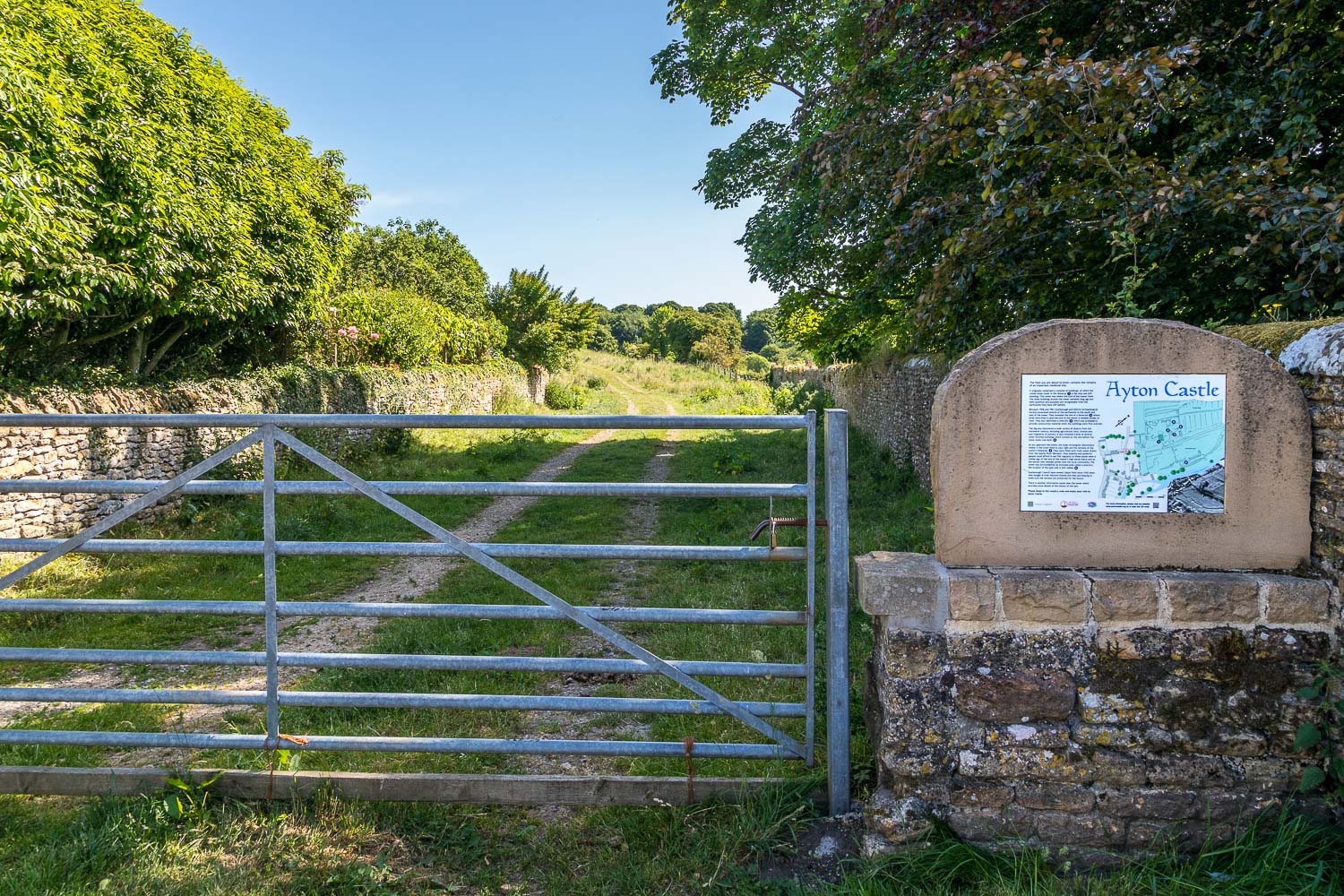
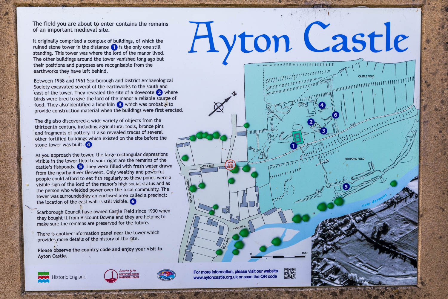
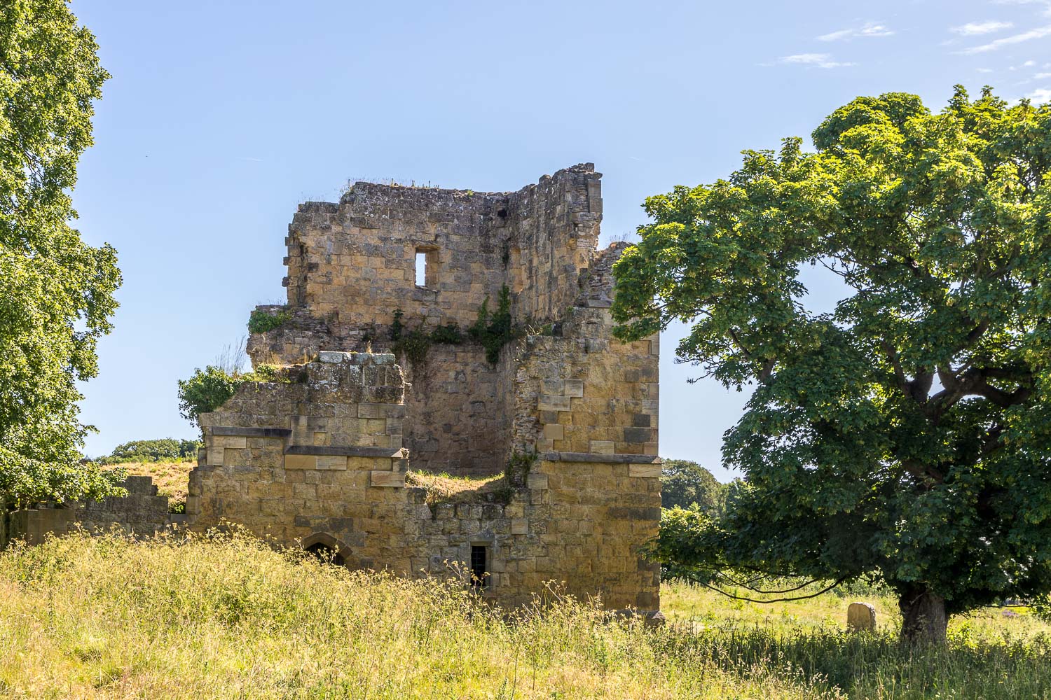
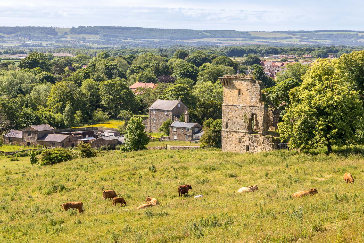
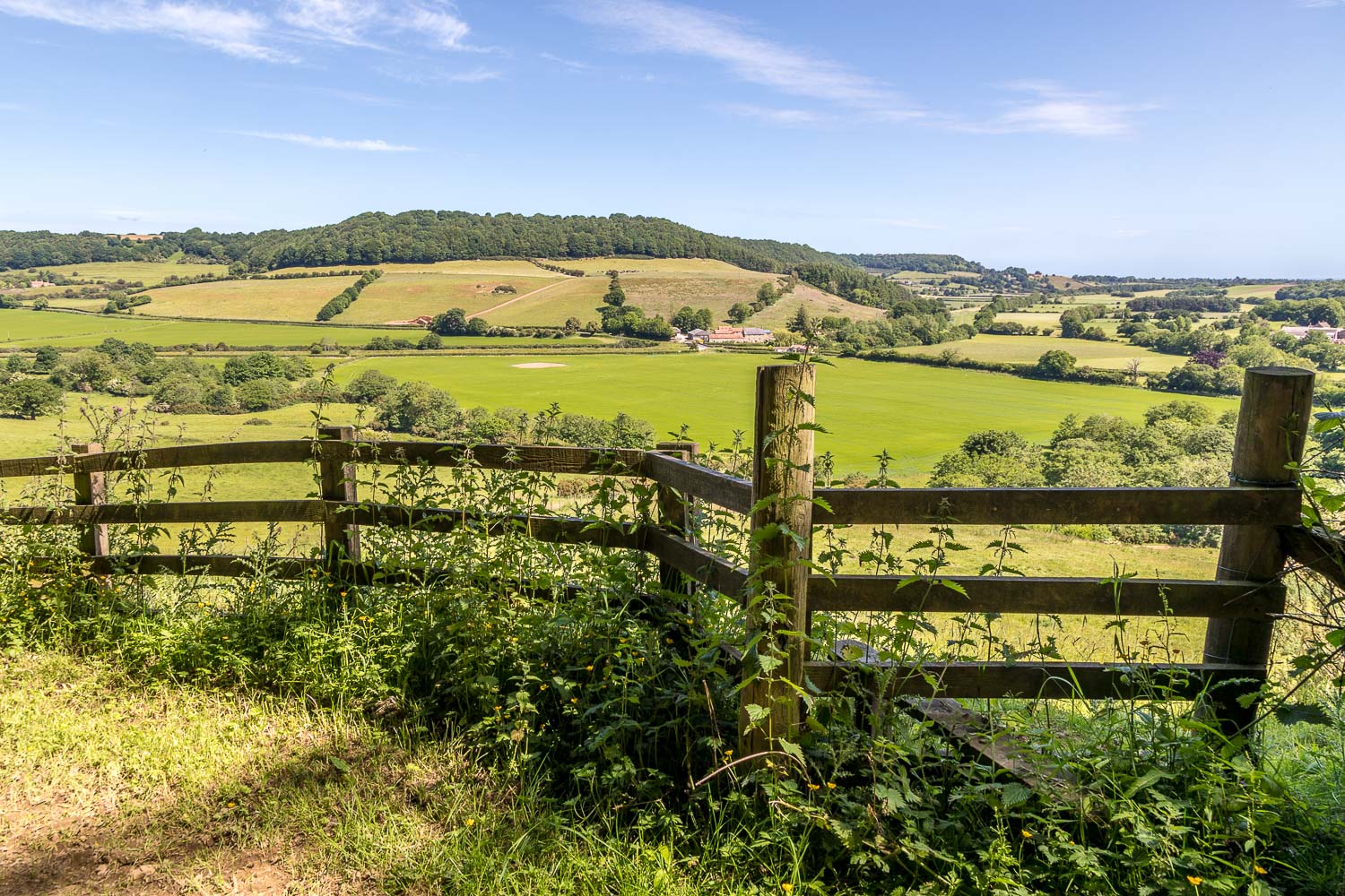
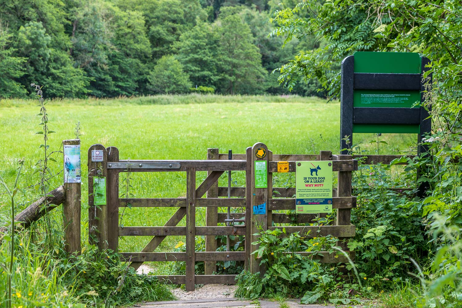
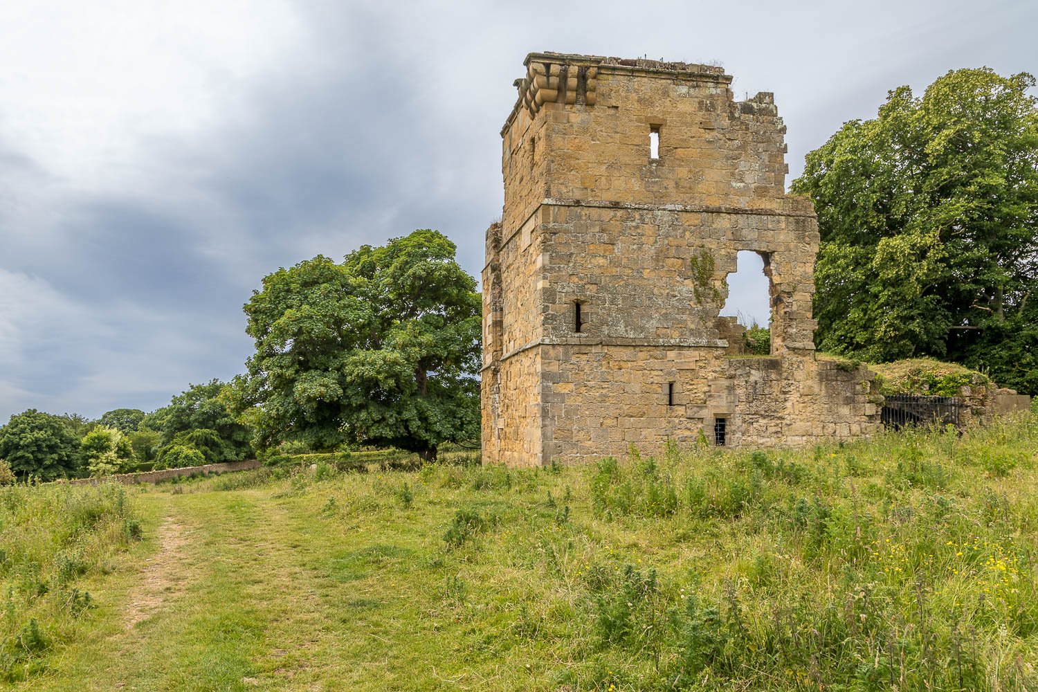
We parked near the bridge over the River Derwent in the attractive village of West Ayton and, after walking along the Yedmandale Road for a few yards, turned off at Castle Rise to follow the sign to Forge Valley. A path through Castle Field leads to Ayton Castle. All that remains of the castle now is the atmospheric ruin of the stone tower, built around 1400
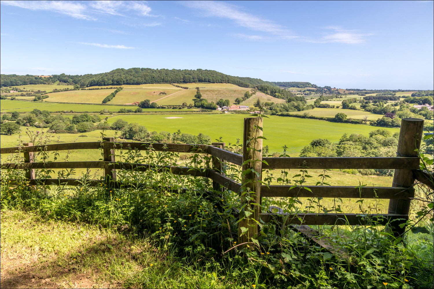
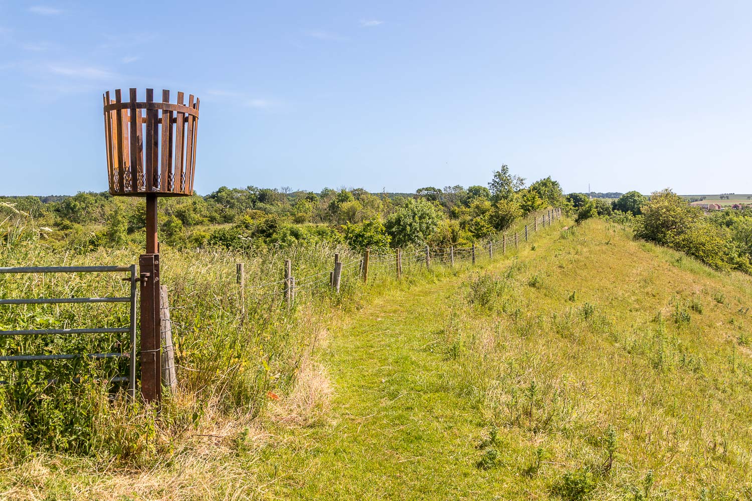
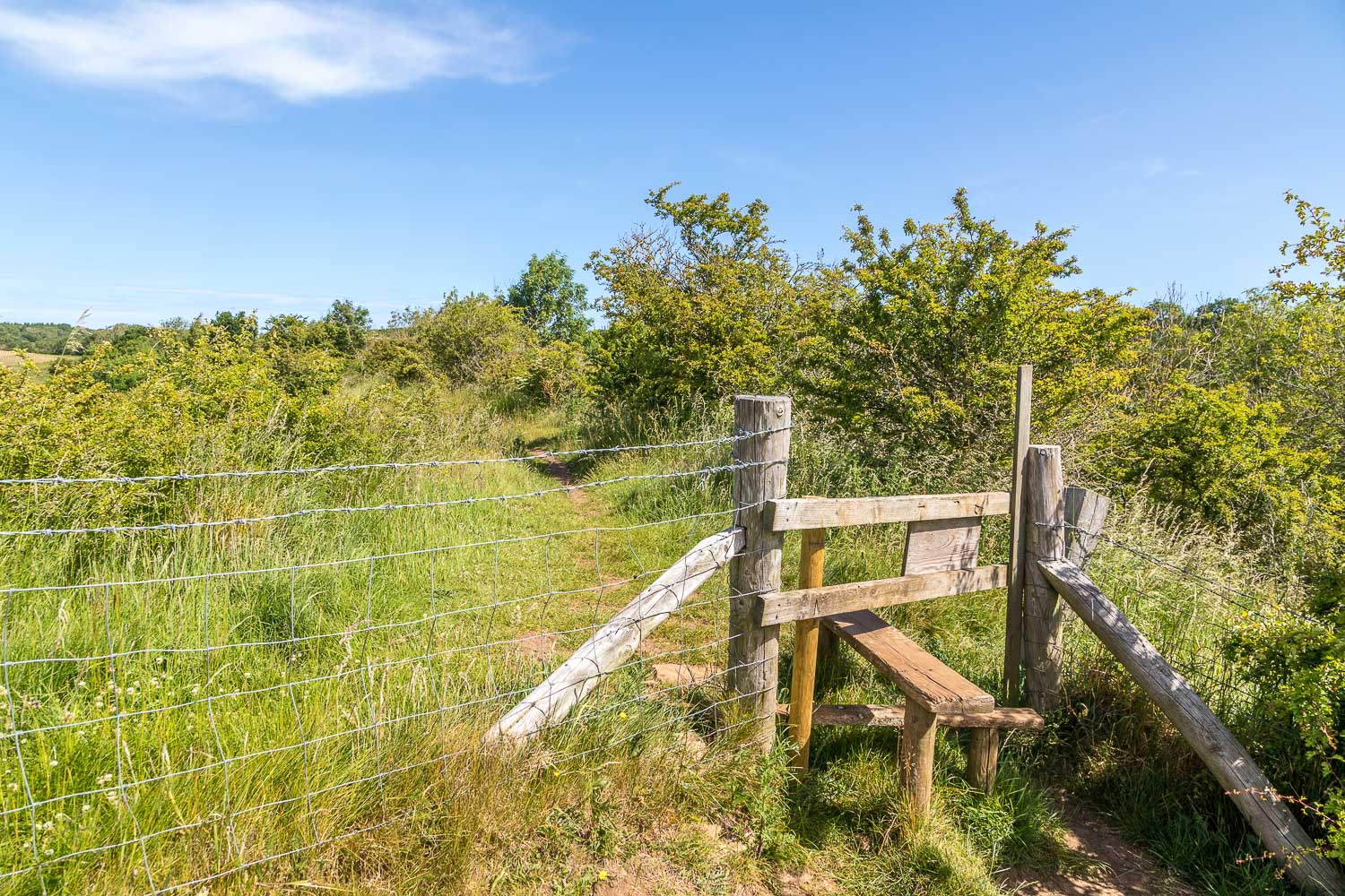
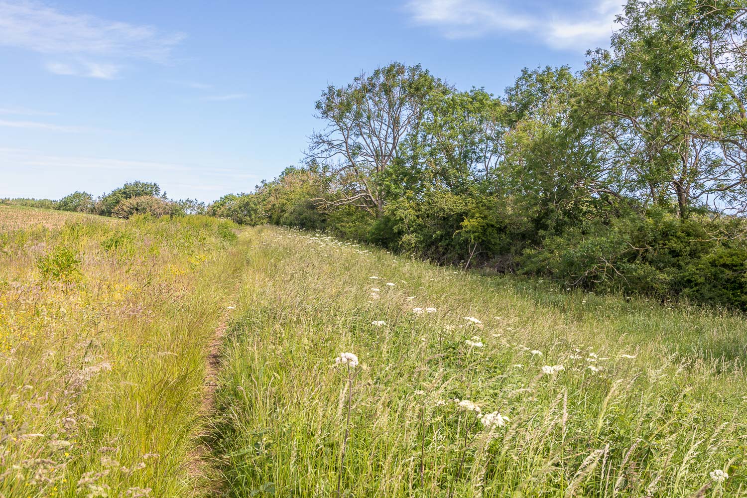
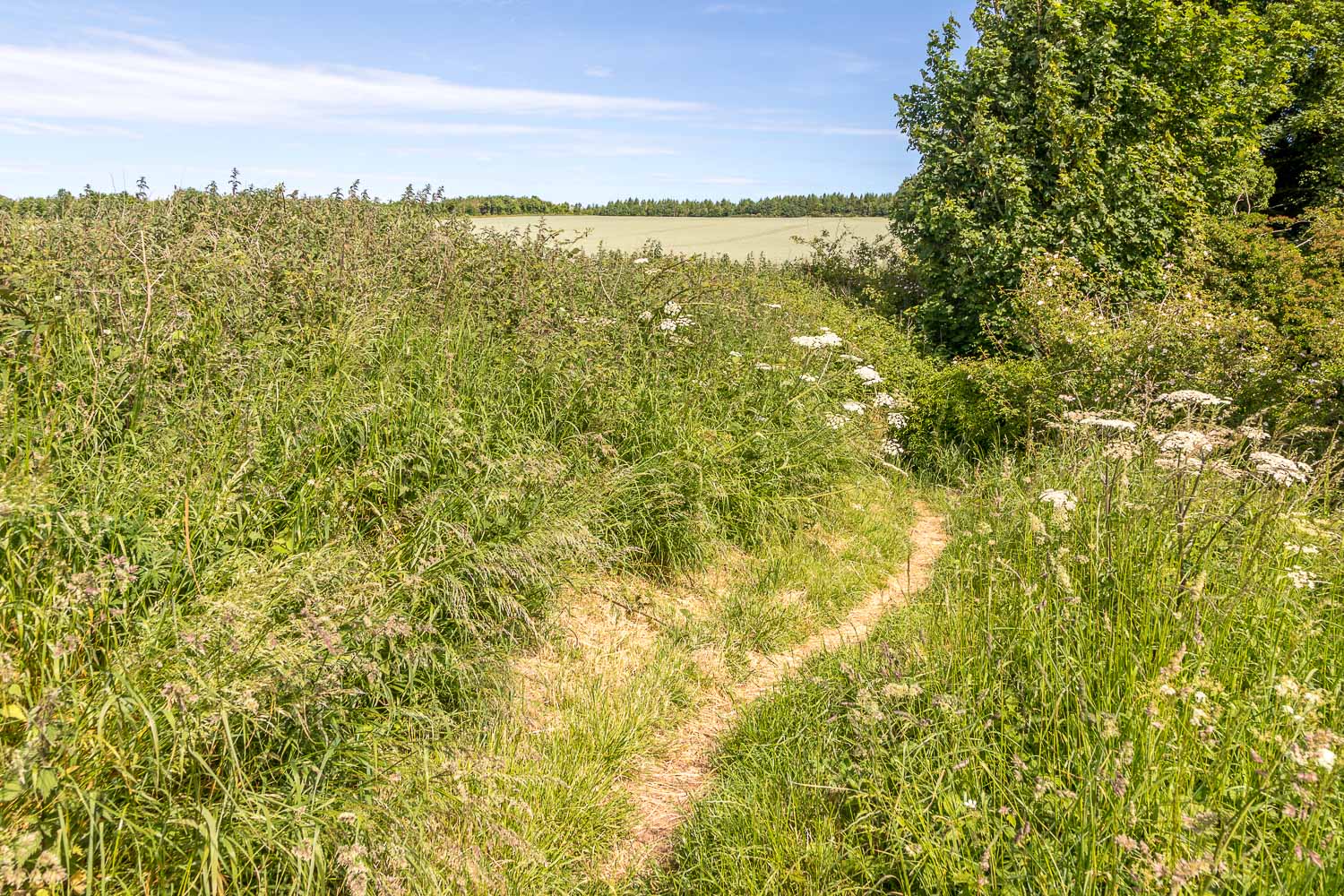
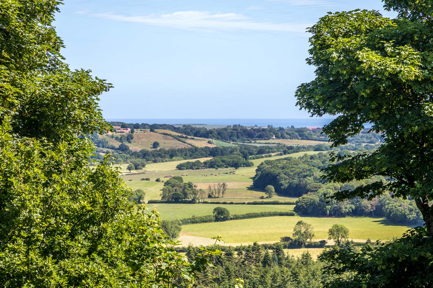
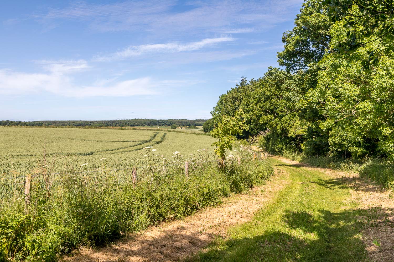
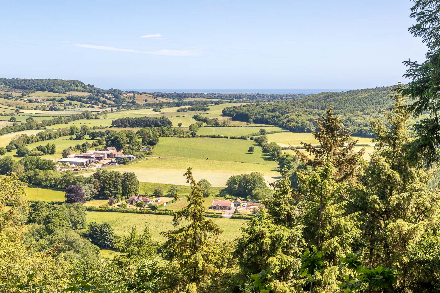
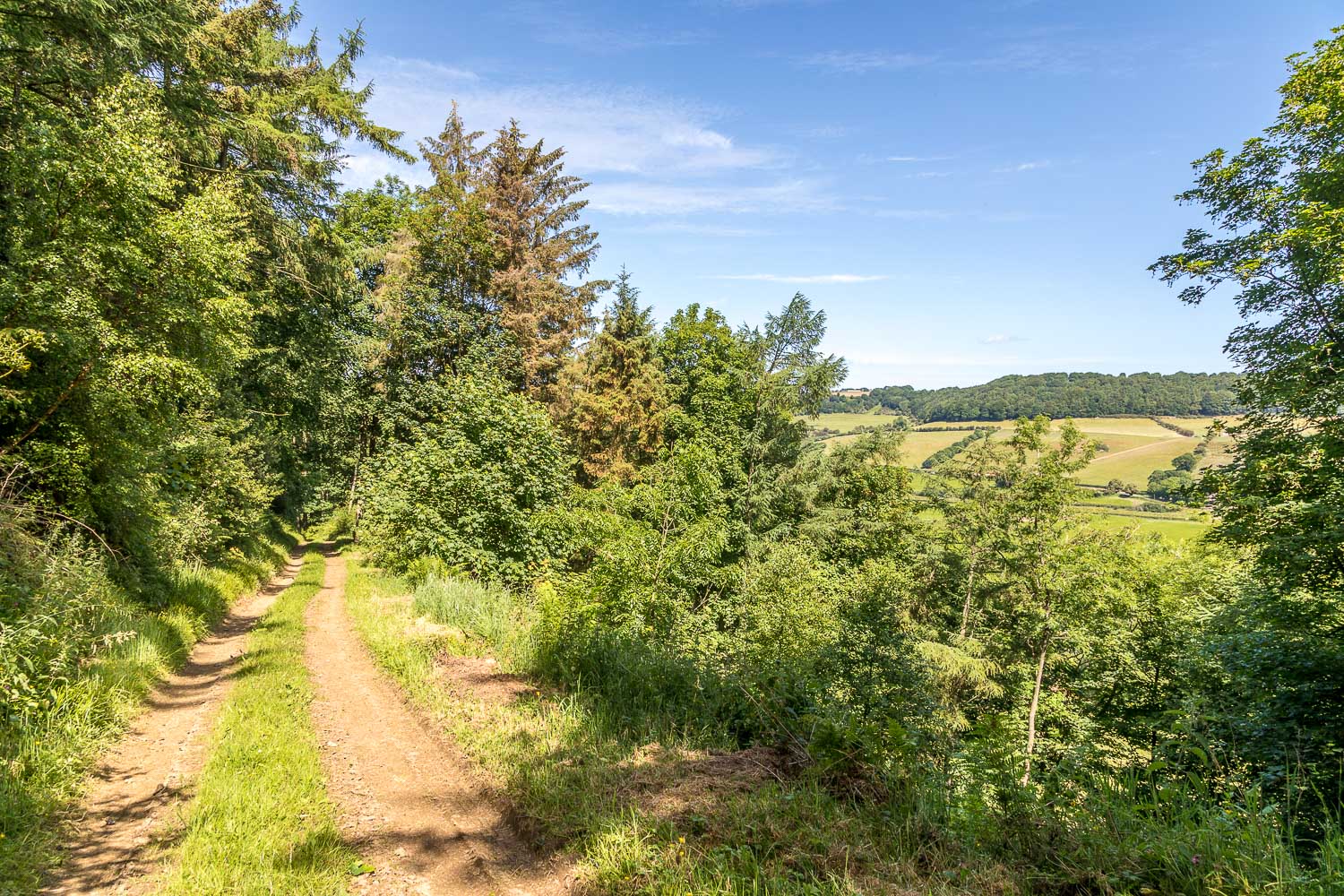
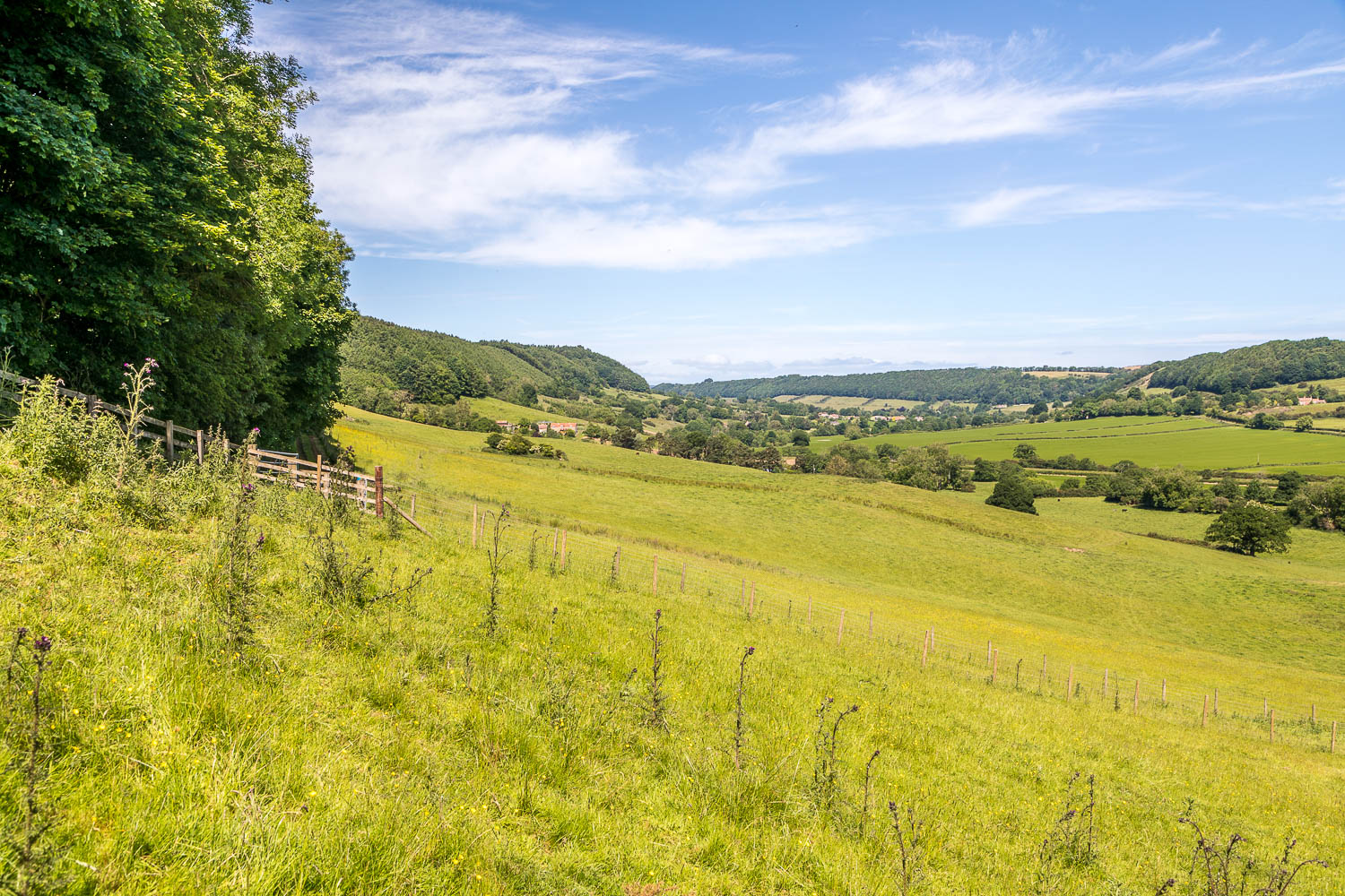
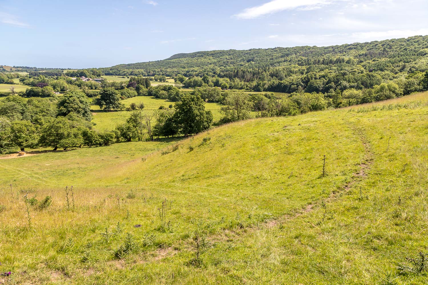
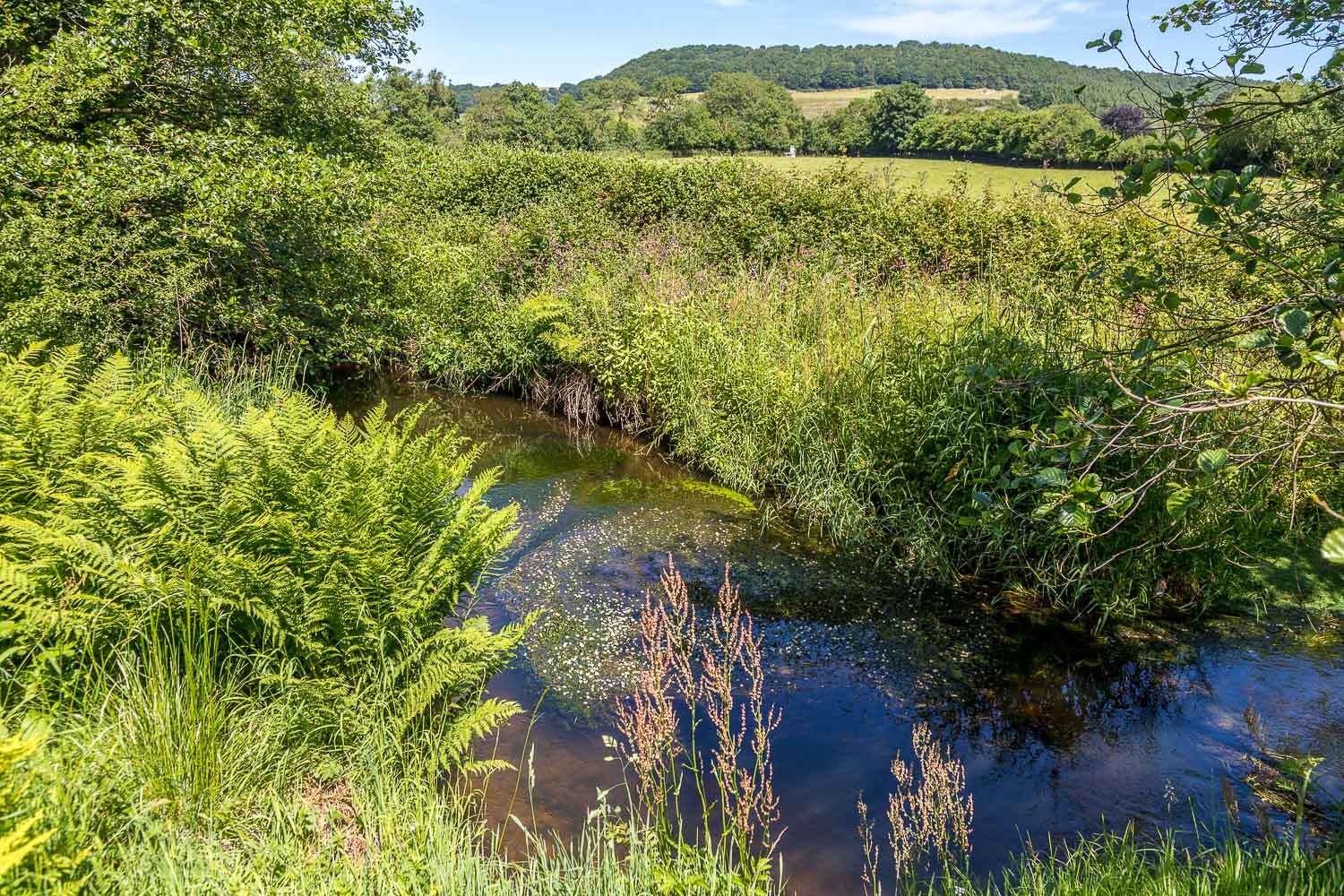
On reaching the castle ruins we followed a path uphill to join the high level path above Forge Valley Woods. The next 2 miles or so were along the edge of the woodland with open countryside on the left. Beyond Spikers Hill the path descends to valley level, at which point the return journey commences. We followed a pathless course down through a field to reach the valley floor. The terrain around here can be extremely boggy at the best of times due to some nearby springs. Thanks to recent dry weather there were no issues today
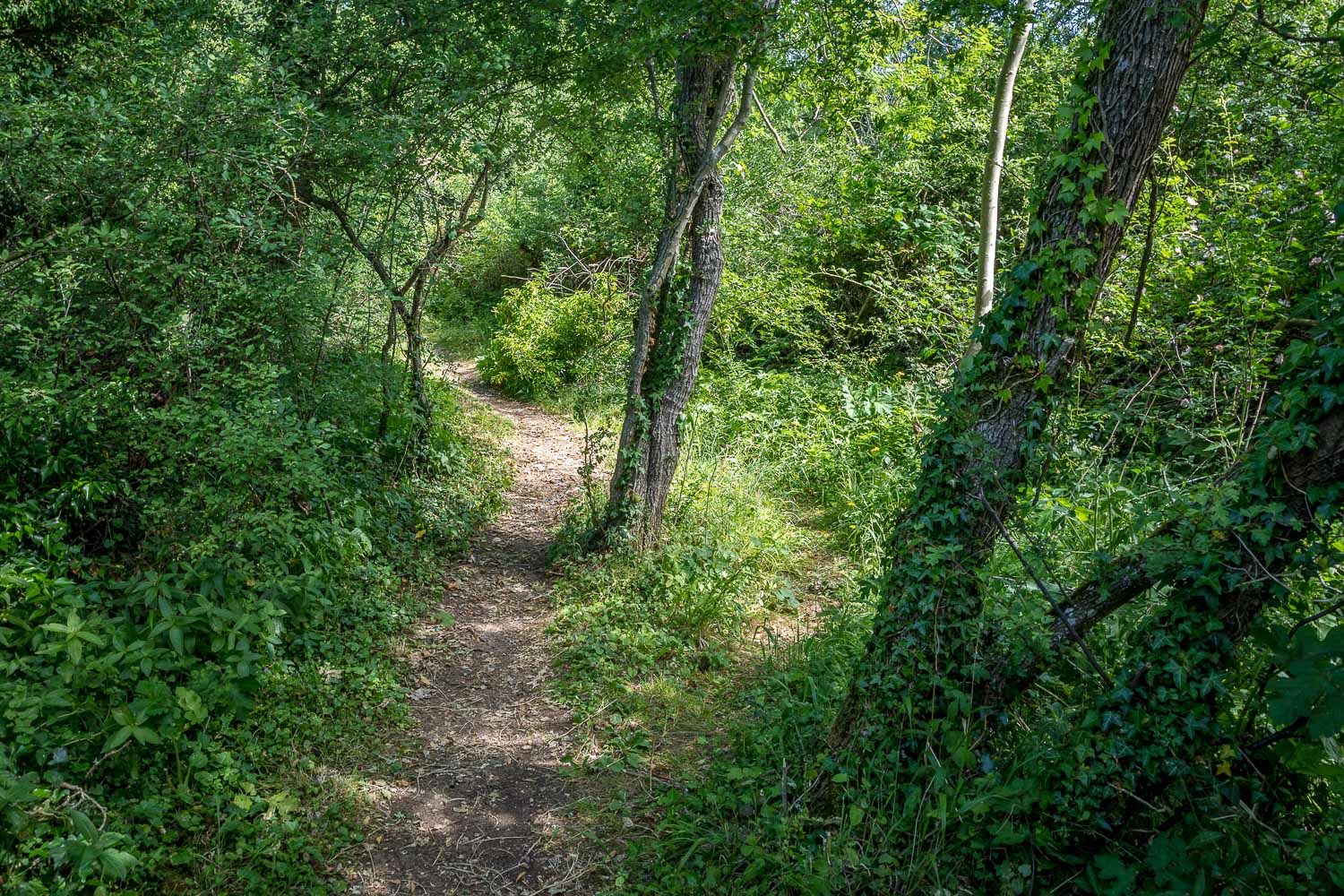
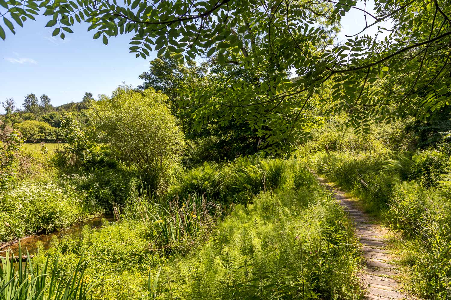
We entered into Forge Valley woods and joined the boardwalk path, which runs the length of the valley, with the River Derwent on the left. The boardwalk was in very poor condition, with many of the planks having rotted and given way. We made our way carefully along the boardwalk and after a while were stopped in our tracks by a fence which had recently been erected across the path. Unbeknown to us, the section of the boardwalk which we’d followed is now subject to a Temporary Closure Order. There had been no indication of the closure from our direction of travel, and it’s only apparent if the route is followed anti-clockwise
For this reason, I can no longer recommend that today’s route is followed. Click here for an alternative shorter route which avoids the closed section. After reading the closure signs we circumvented the fence, which was easy – we clearly weren’t the first to have done so. We then continued along the ‘open’ section of the boardwalk which was as delightful as ever. At the end of the woods we walked through the fields, passing by Ayton Castle again and from here we retraced our steps back into West Ayton
It won’t be long before the rest of the boardwalk starts to rot, and I’ve since learned that proposals for funding to replace it with a longer lasting alternative have been turned down by the Government’s RDPE Growth Programme “due to the limited number of new visitors the scheme would attract relative to the expenditure”. I understand that other sources of funding are now being investigated. Sad to say, the future of this wonderful path now seems uncertain
For other walks here, visit my Find Walks page and enter the name in the ‘Search site’ box
Click on the icon below for the route map (subscribers to OS Maps can view detailed maps of the route, visualise it in aerial 3D, and download the GPX file. Non-subscribers will see a base map)
Scroll down – or click on any photo to enlarge it and you can then view as a slideshow
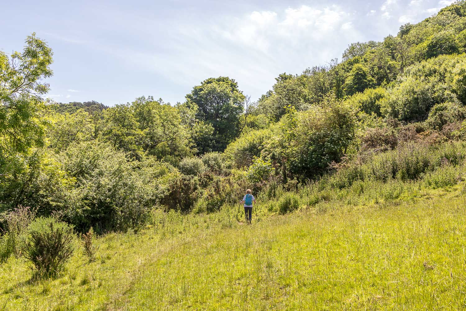
A series of springs known as Scarwell Springs make this section a very boggy affair, but thanks to recent dry weather we kept our boots dry
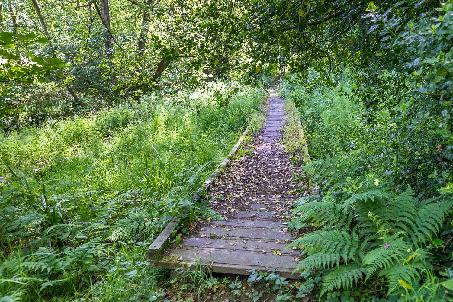
The start of the boardwalk which runs the length of Forge Valley. There's nothing to indicate that this section is closed, though we had our doubts further along where parts of it had collapsed
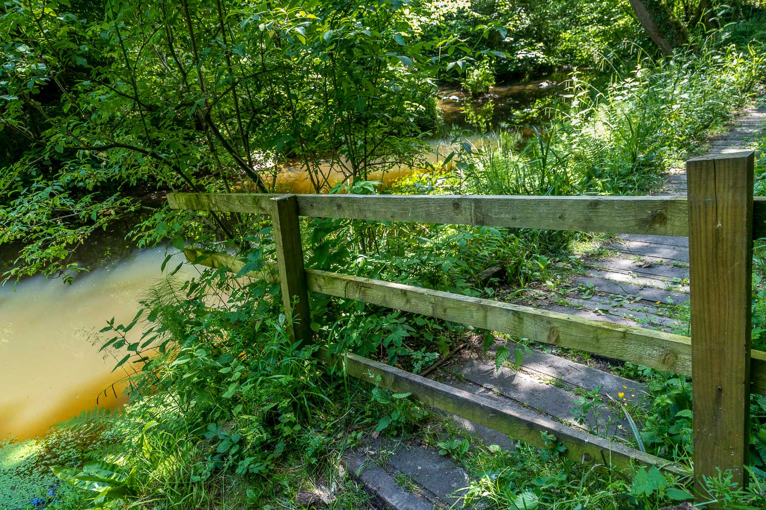
We arrive at the fence, and realise that we'd walked along a closed section of the boardwalk. There had been no prior indication of this
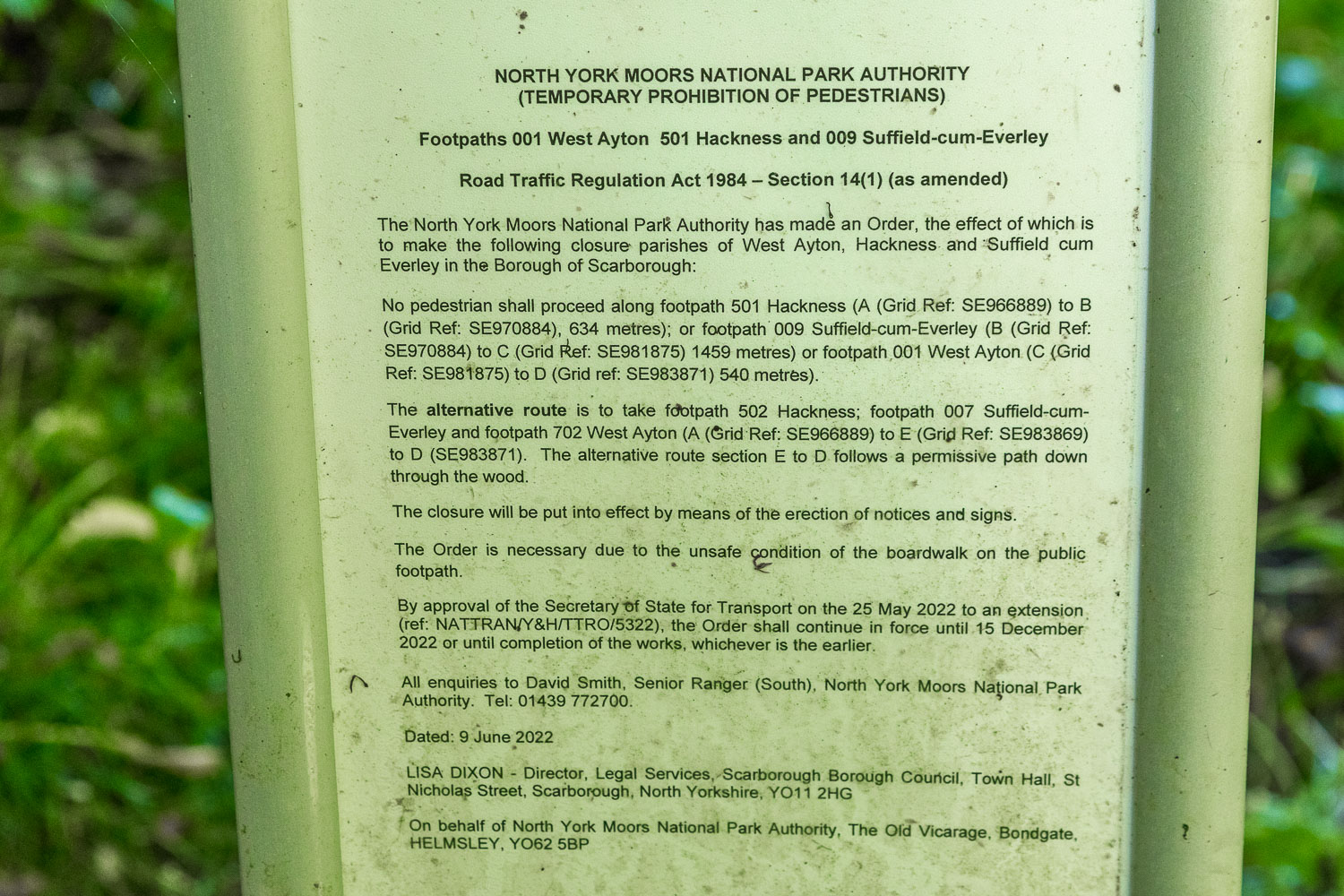
The closure sign indicates that the order lasts until 15th December 2022, but I expect it will be extended as funding is not in place for the repairs
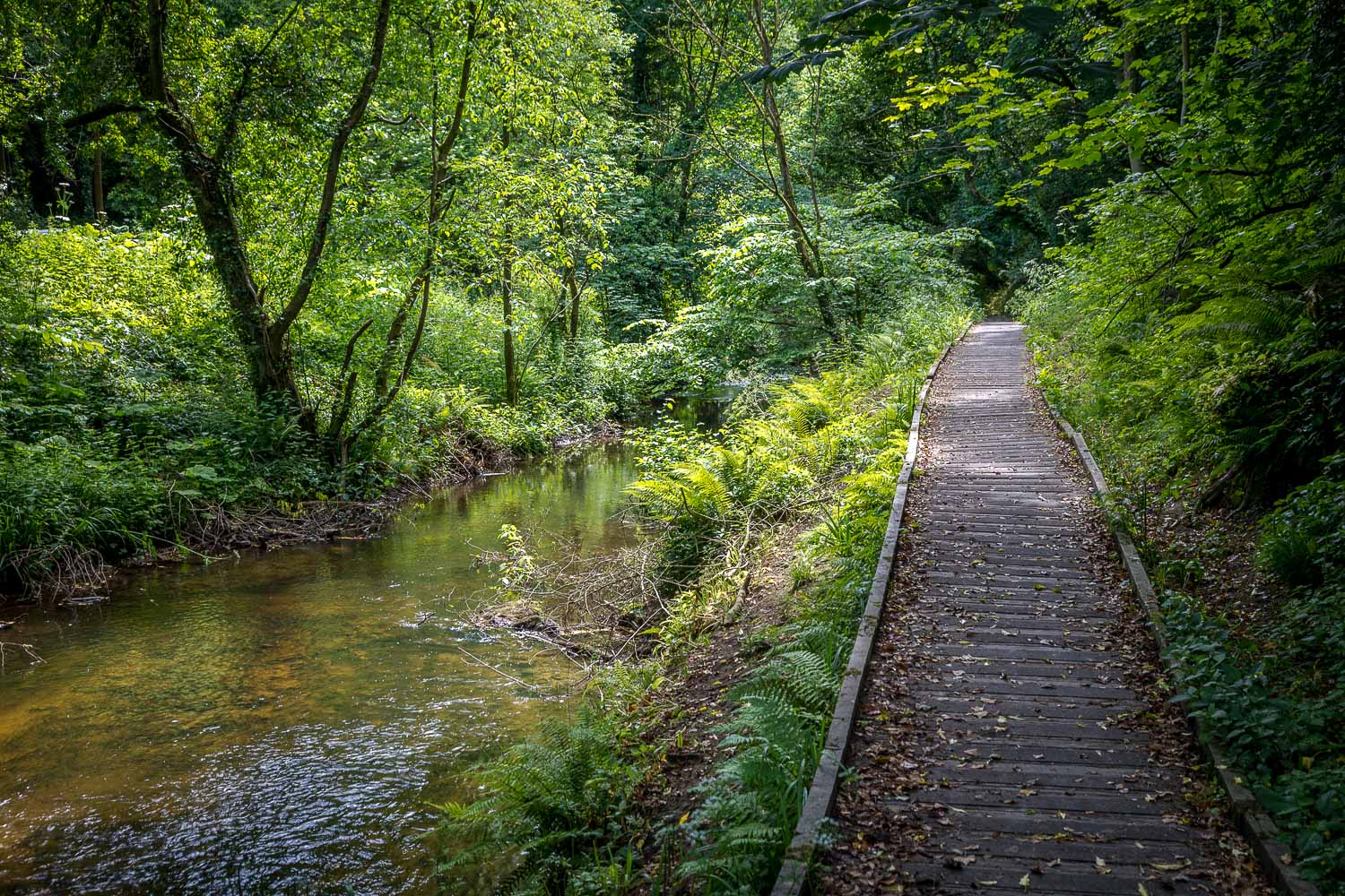
We continue along the 'open' section which will probably become inaccessible unless action is taken in the next 2-3 years

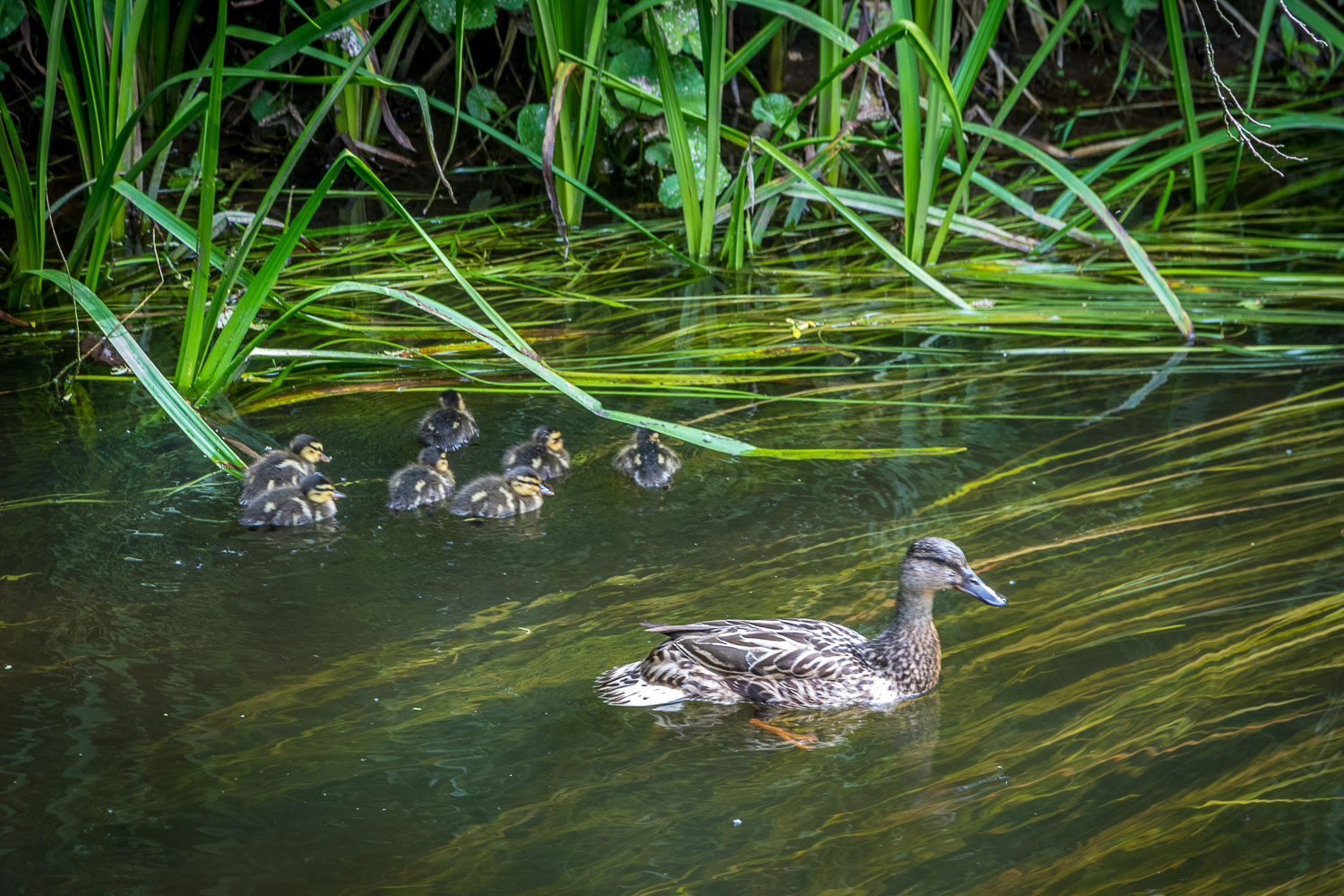
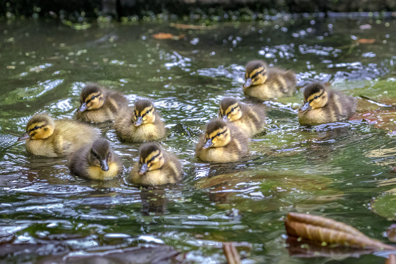
Coincidentally, we enjoyed the sight of nine mallard ducklings making their maiden voyage on our pond yesterday....
Follow the link for more walks in North Yorkshire (148)
