
Route: Fanal circuit
Area: Madeira
Date of walk: 30th April 2022
Walkers: Andrew and Gilly
Distance: 2.6 miles
Ascent: 300 feet
Weather: Sunshine and blue skies
On the final day of our walking holiday in Madeira, we decided to explore the contrasting scenery on the higher parts of the island. This area is often covered in cloud and we were fortunate to have a cloudless blue sky overhead (although this isn’t ideal for photography). We parked at the Fanal car park which can be busy at weekends, though we’d made an early start and there were very few folk around. The walk starts at an altitude of nearly 4,000 feet and although it undulates there are no serious climbs or descents
We walked to a white building near the car park, which is the forestry post building. We climbed the steps beside it and followed a dirt path which joined a wider track after a few yards. This took us to a grassy open area where three tracks radiated out. We took the central one which heads to a small rise. After following the track for a short distance we reached a marker post for ‘Fanal PR13 2.2km’ pointing along a narrow path. This was our route, but before joining it we made a there and back detour (about 5 minutes) to a viewpoint looking over the north coast of Madeira
Back on the narrow track we continued to follow the red and yellow strips of the PR13 and after a while we reached an area of ancient laurisilva forest.  When the first explorers came to Madeira, the island was covered by laurisilva forest, but now only 16% of it is left. Laurisilva is a type of native forest that once covered much of southern Europe. The largest of the surviving areas is in Madeira and is now protected as a UNESCO World Heritage Site. Up to this point the scenery had been rather lacking in interest and consisted of heather and broom shrubland. The walk through the forest was delightful as a narrow path took us up and downhill with occasional views out to sea
The woodland section came to an end at a clearing with a distinctive rock formation at its head. We climbed to the base of the rock to enjoy the spectacular views over the northern coast – the highlight of the walk. The car park was only a short stroll away and we made the easy descent down some steps to end a memorable week’s walking
Click on the icon below for the route map
![]()
Scroll down – or click on any photo to enlarge it and you can then view as a slideshow

The start of the walk as we head to the Fanal forestry post building and climb some steps beside it

The initial section of the walk is through shrubland with a few isolated laurel trees, part of a denser laurisilva woodland which we'll pass through later


We make a short there and back detour along this path to a viewpoint...

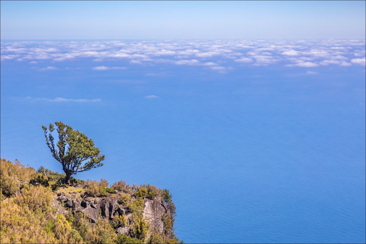
A view of the northern coast of Madeira

A short woodland section

We follow the waymarked sign for Fanal

We pass by this cairn and follow a path to the right of the small hill ahead

Looking out to sea

We enter an atmospheric laurisilva forest...


Views over the Atlantic as we follow the path at the edge of the forest...


We head towards a distinctive rock outcrop ...


Looking back along the northern coast of Madeira

View from the rock outcrop

See below for a panorama taken at the point. From here it's a short stroll back to the car park, and the end of a wonderful walking holiday on Madeira
Follow the link for more walks in Madeira (17)
