
Route: Circuit of Derwent Water
Area: North Western Lake District
Date of walk: 27th September 2017
Walkers: Andrew and Gilly
Distance: 10.5 miles
Ascent: 700 feet
Weather: Cloudy, grey and very hazy
We’d planned to climb a fell today but is was very hazy and the views would have been poor, so we settled on a low level walk around Derwent Water. We parked in the village of Portinscale, which was convenient for us, but this is a walk that could be started from numerous places, as a glance at the map will show. After walking along the road out of Portinscale for a short distance we turned off at Nichol End to follow the path through Fawe Park, and past Lingholm
We walked through Brandelhow and Manesty Park, both of which were looking particularly beautiful in their early autumn colours. When we reached the head of the lake we crossed the Chinese Bridge over the River Derwent to start the return leg along the eastern shore of the lake. Unless water levels are very high, it’s possible to avoid use of the nearby road entirely, and such was the case today. As we walked along we discussed the relative merits of the west and east shores of the lake and agreed that the west shore is much to be preferred, even though it’s the path on the east shore that bears the most foot traffic thanks to its proximity to Keswick
After passing by Friar’s Crag, we arrived at the Theatre by the Lake, where we turned left to follow a path around Crow Park. This meant that we missed most of Keswick and after a short walk through the outskirts of the town we joined the Cumbria Way and crossed the suspension bridge to arrive back in Portinscale. It had been a grey day, with most of the surrounding fells obscured in the thick haze, but the beauty of the surroundings shone through nevertheless and we were pleased with the route we’d picked
For other walks here, visit my Find Walks page and enter the name in the ‘Search site’ box
Click on the icon below for the route map (subscribers to OS Maps can view detailed maps of the route, visualise it in aerial 3D, and download the GPX file. Non-subscribers will see a base map)

Scroll down – or click on any photo to enlarge it and you can then view as a slideshow

Red squirrel on the morning of the walk

Most of the hazelnuts are taken away and buried at this time of the year

Later on, after leaving Portinscale, we follow the road to Nichol End

Derwentwater Marina from Nichol End Marina

We follow the track above Derwent Bank

The Park, and Catbells beyond

We enter the woods near Derwent Bay

There's an upper and a lower path through Brandelhow Park - today we opt for the former

We pass by a stone barn at Old Brandelhow

Looking back to the barn, and Skiddaw almost lost in the haze

Lovely autumn colours in the ancient woodland...


We descend to the landing stage at Brandelhow Bay

Walking round the bay

Boathouse in Brandelhow Bay

The Teddy in the Window (lower right), and some of the many postcards he receives from around the world

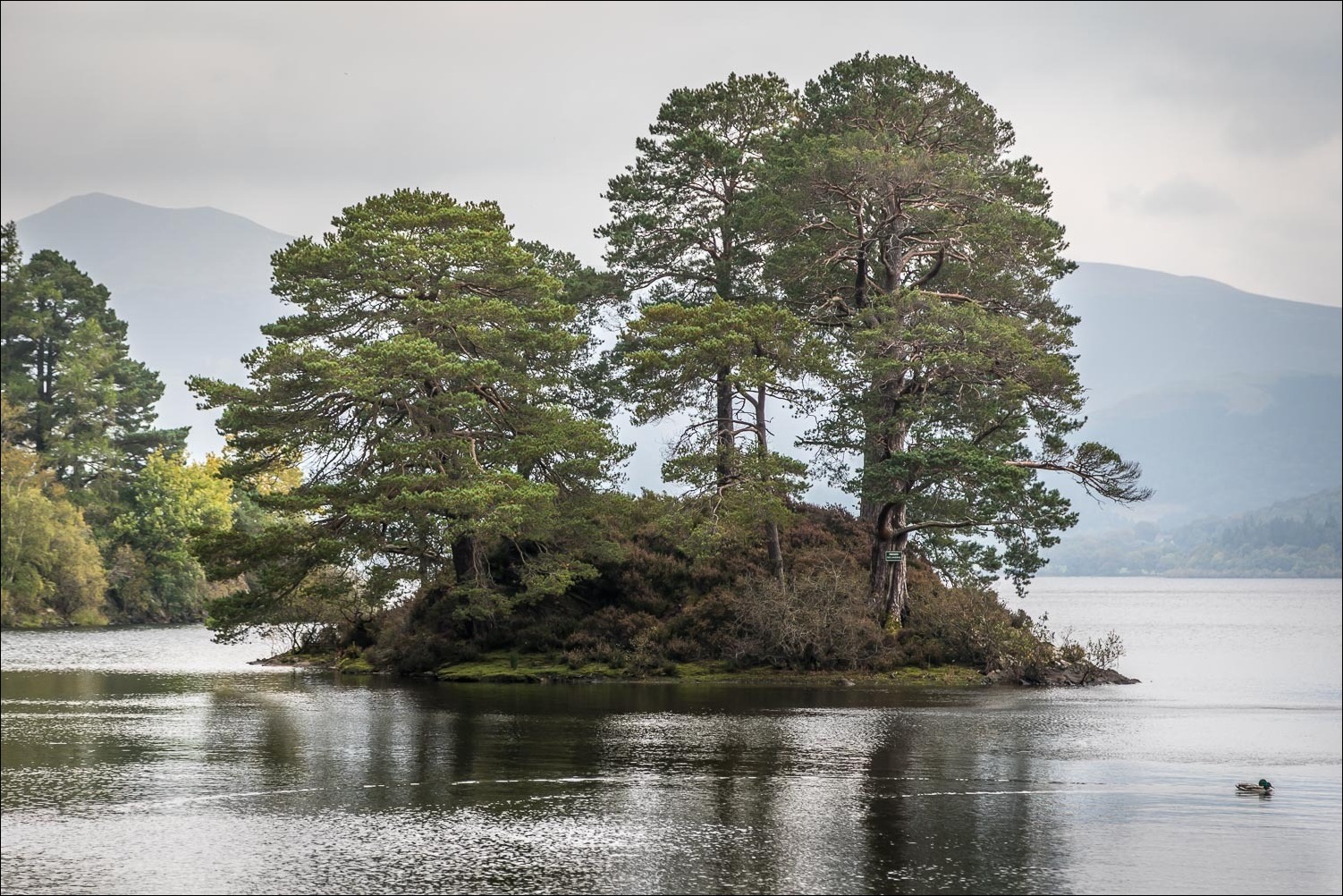
Otter Island

Manesty Park

We approach the head of Derwent Water

Trees in Manesty...


We follow the boardwalk in the direction of Castle Crag

Looking back, with Maiden Moor in the background

The boardwalk continues across the head of the lake

We cross the Chinese Bridge below Shepherds Crag

The path by the eastern shore of the lake, quite close to the Borrowdale road at times

Hazy Skiddaw

Further along the shoreline

The Centenary Stone in Calfclose Bay, placed here in 1995 to commemorate 100 years of the National Trust in the Lake District

Bench at Calfclose Bay, looking towards the head of the lake

The Ings

Bench at Strandshag Bay

Friar's Crag, and Catbells beyond

We arrive at the landing stages in Keswick

Woodland near Crow Park

We follow this track to the outskirts of Keswick

Looking along the River Derwent from the road bridge at the edge of town

We follow the Cumbria Way across the foot of the lake

The suspension bridge - Portinscale, and with it the end of today's walk, is just beyond
