Route: La Chapelle d’Abondance to Chatel
Area: Chablais Alps, France
Date of walk: 19th August 2018
Walkers: Andrew and Gilly
Distance: 11.3 miles
Ascent: 3,000 feet
Weather: Mostly sunny, very hot
Having spent 2 nights at the superb Hotel Les Gentianettes we checked out to start the next stage of our journey in the Chablais Alps. As this would be a linear walk from La Chapelle d’Abondance to Chatel we were provided with picnics – which were so generous that we could only just squeeze them into our backpacks
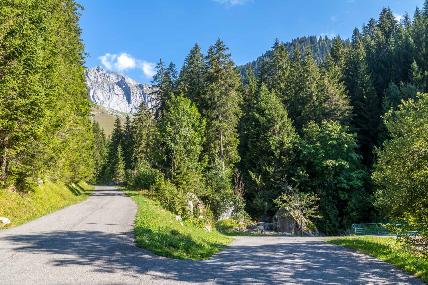
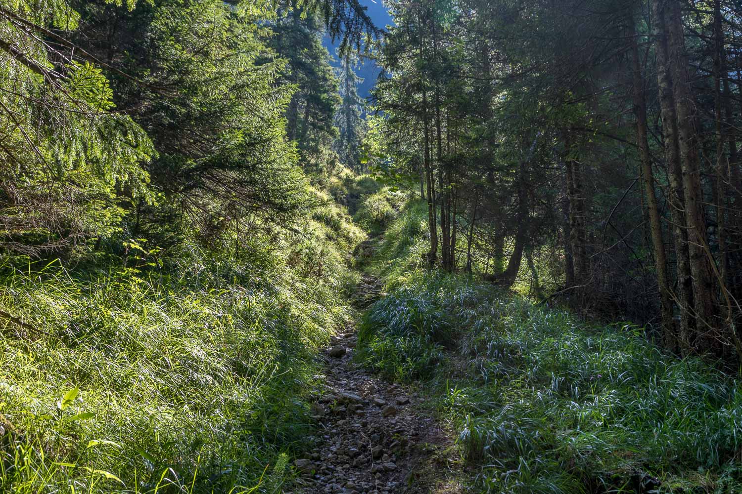
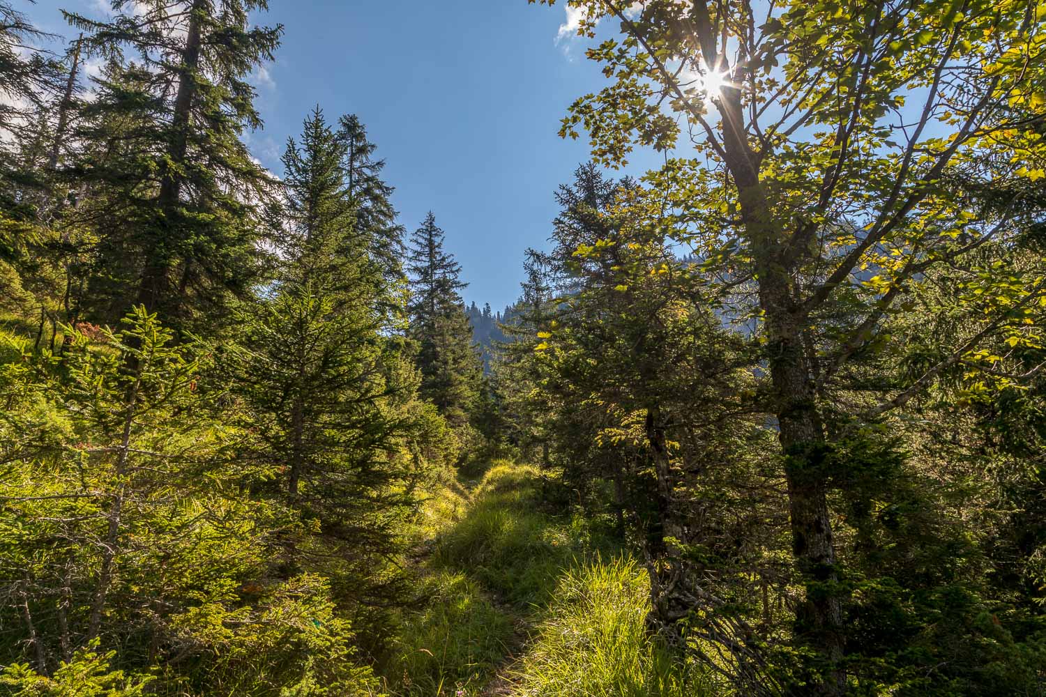
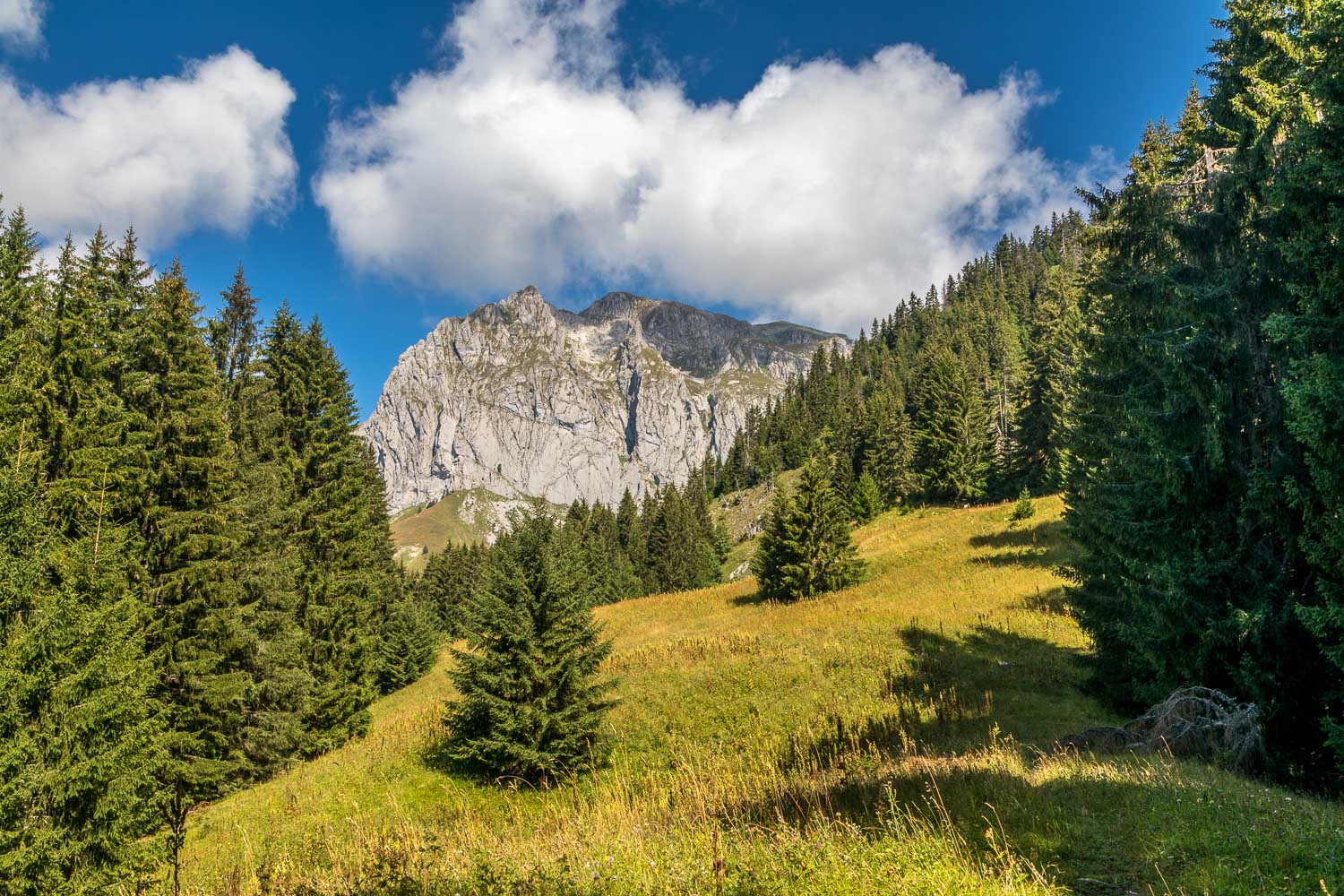
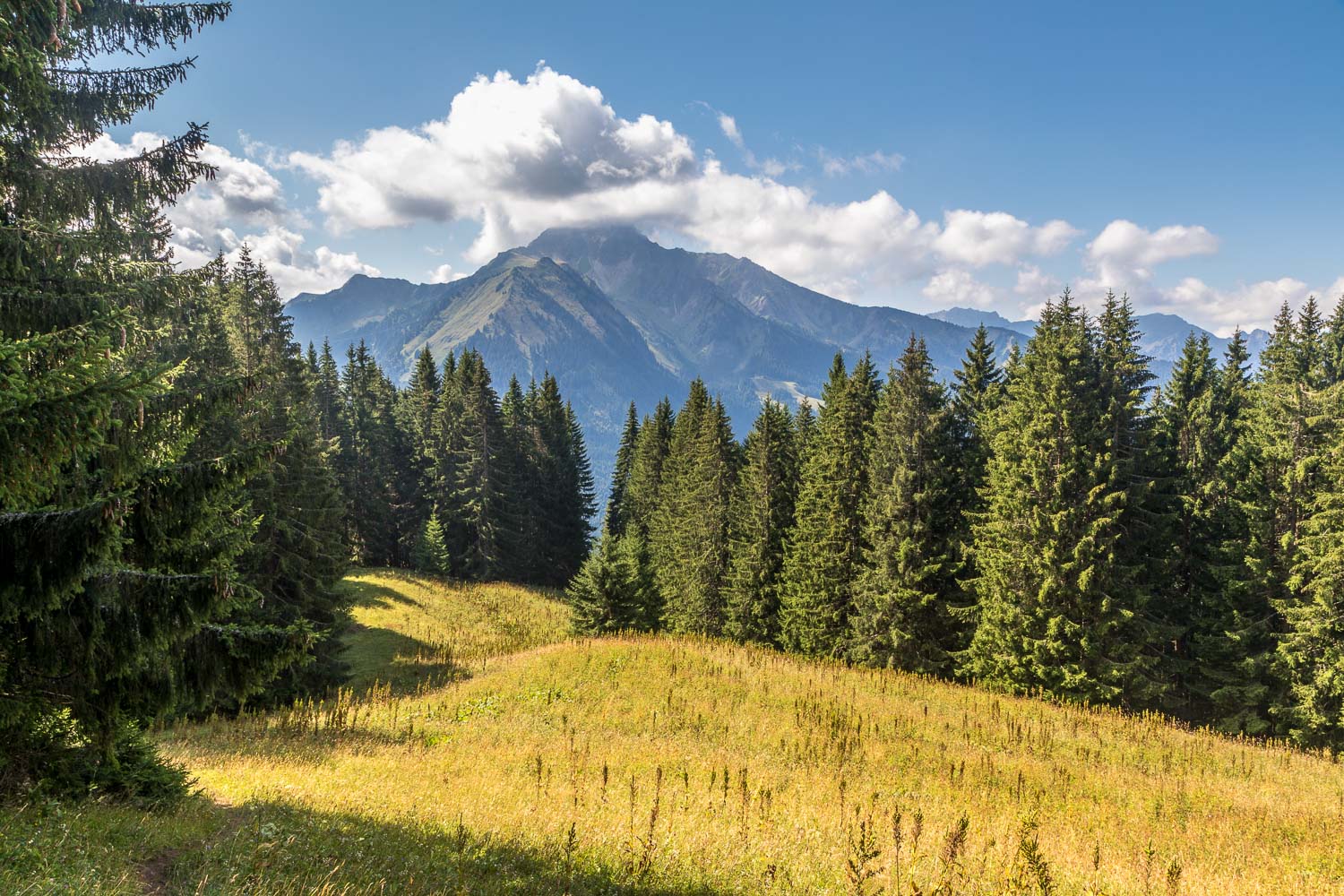
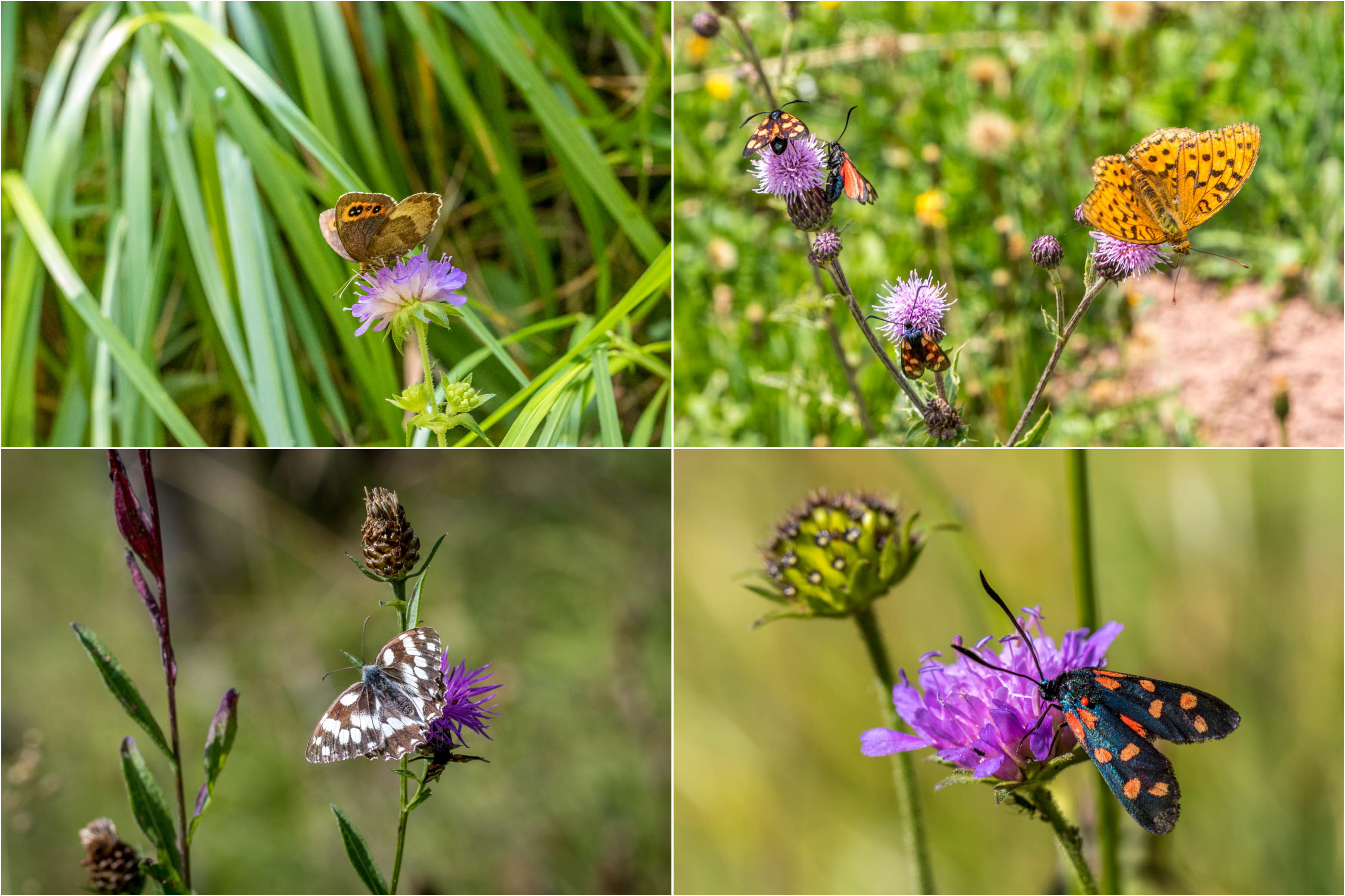
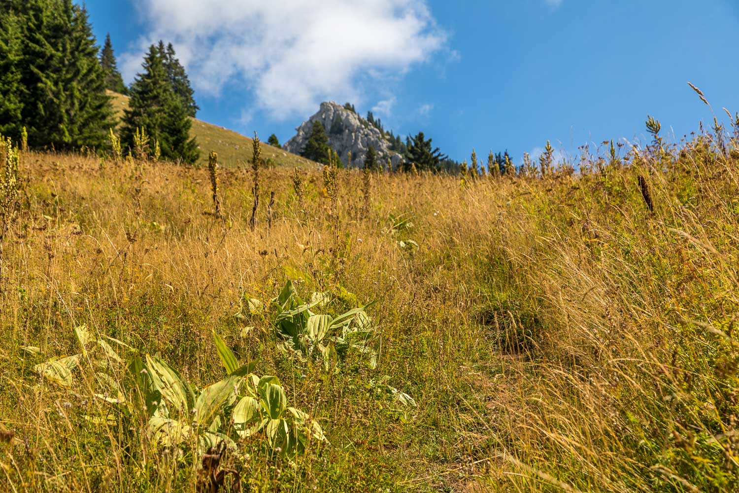
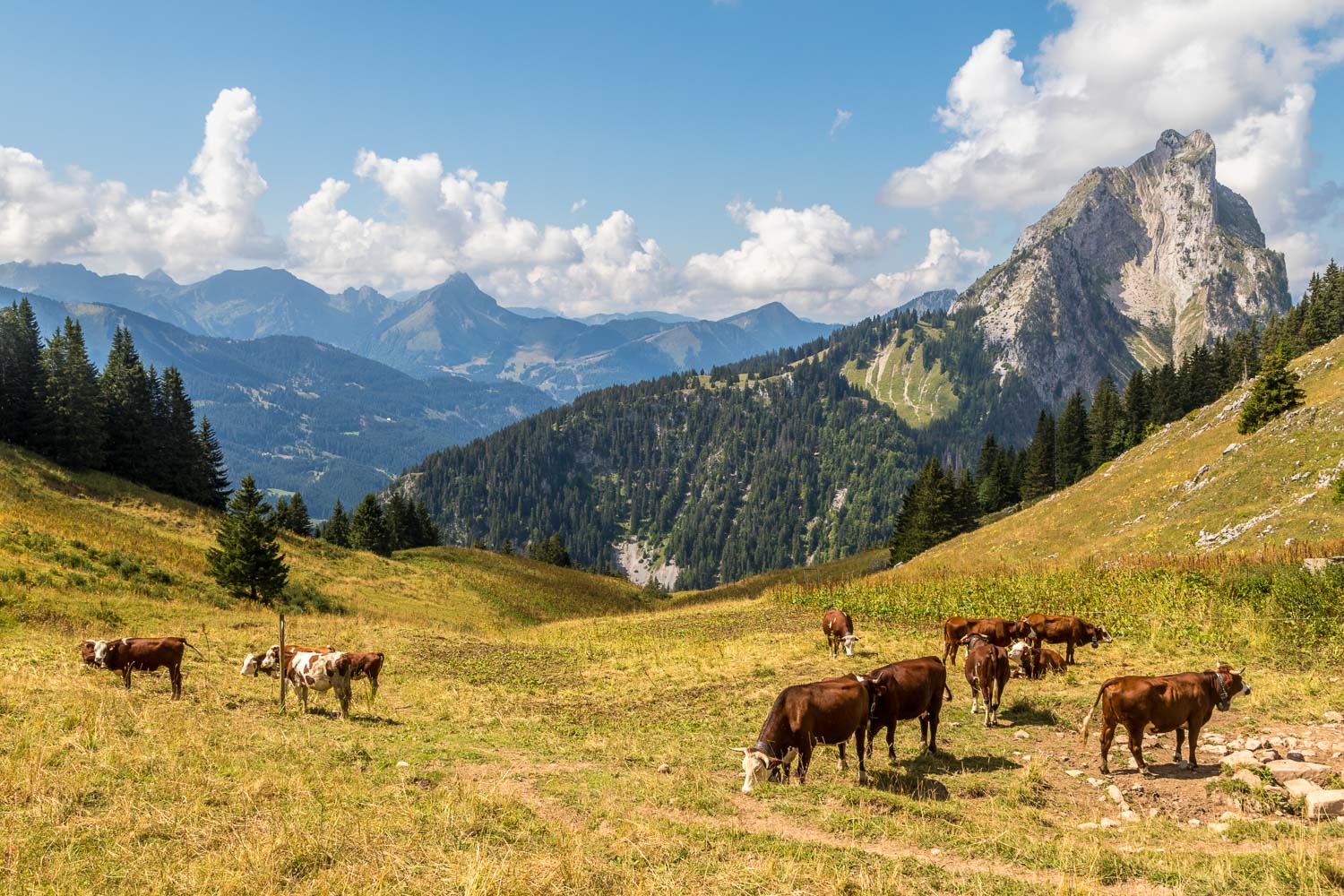
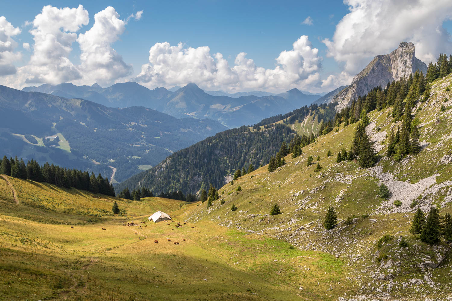
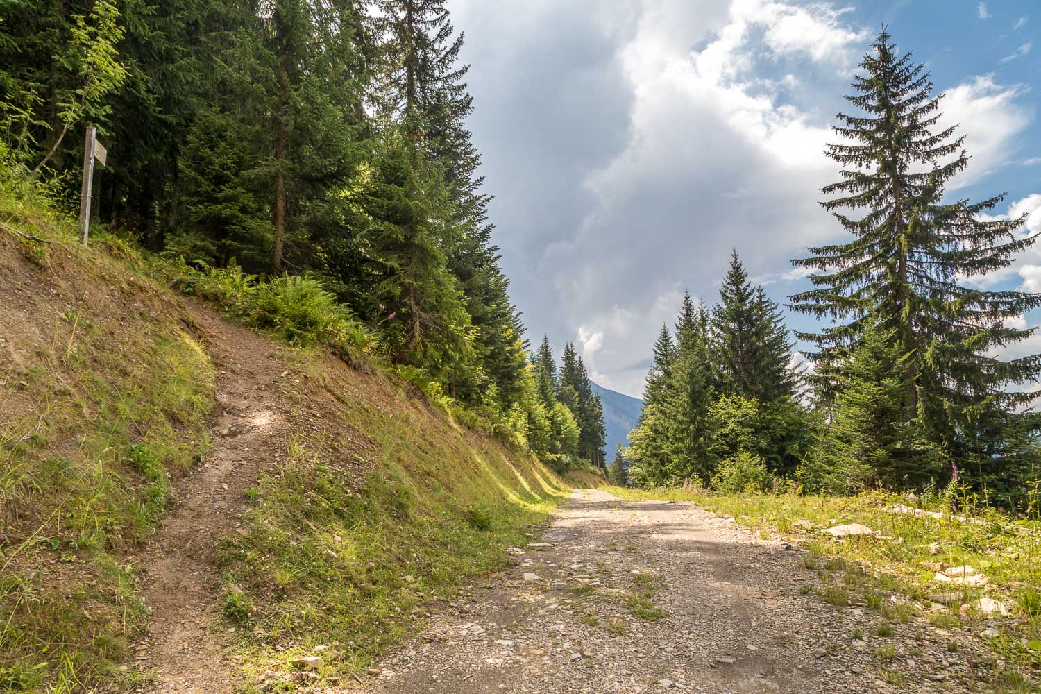
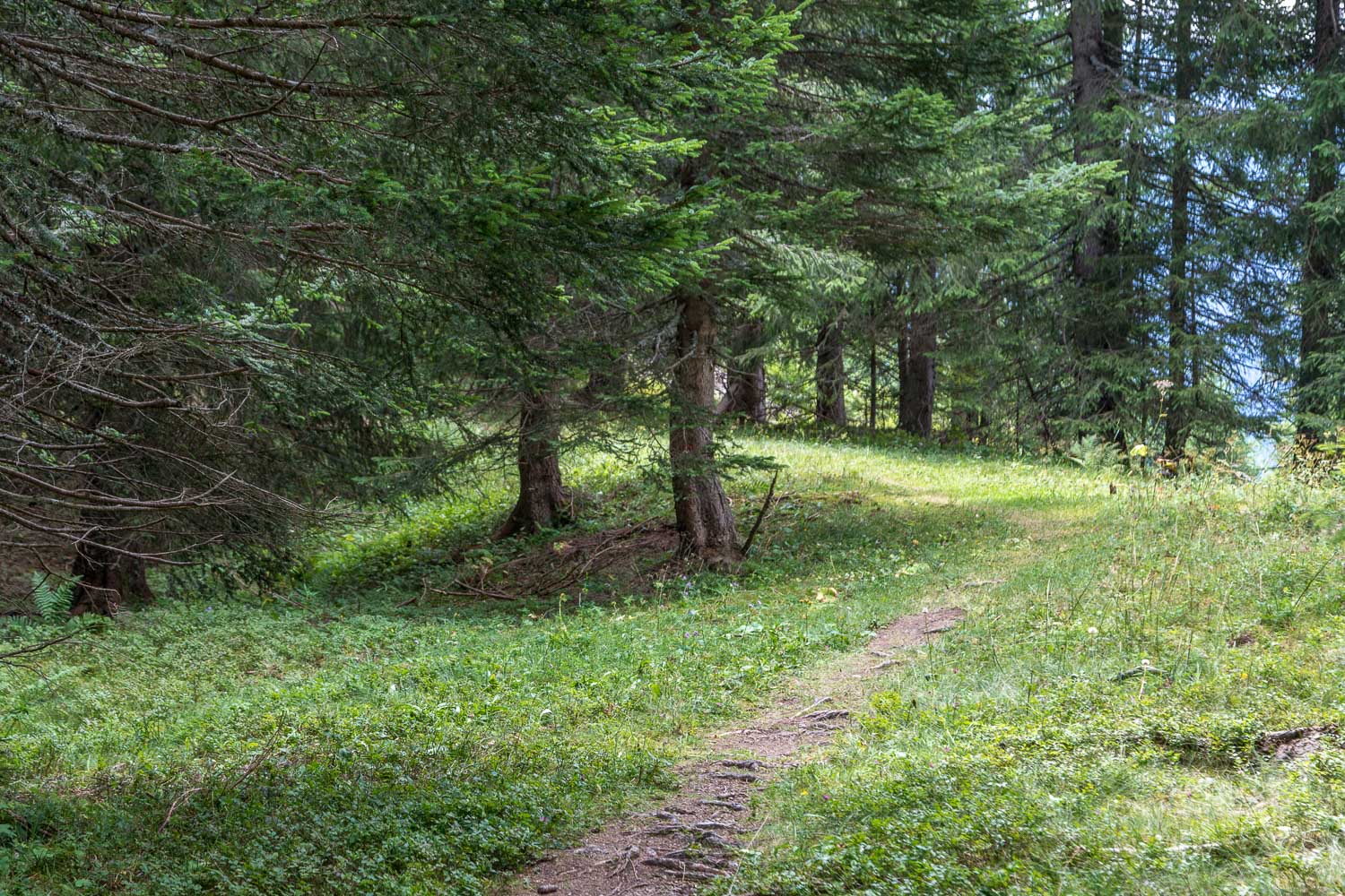
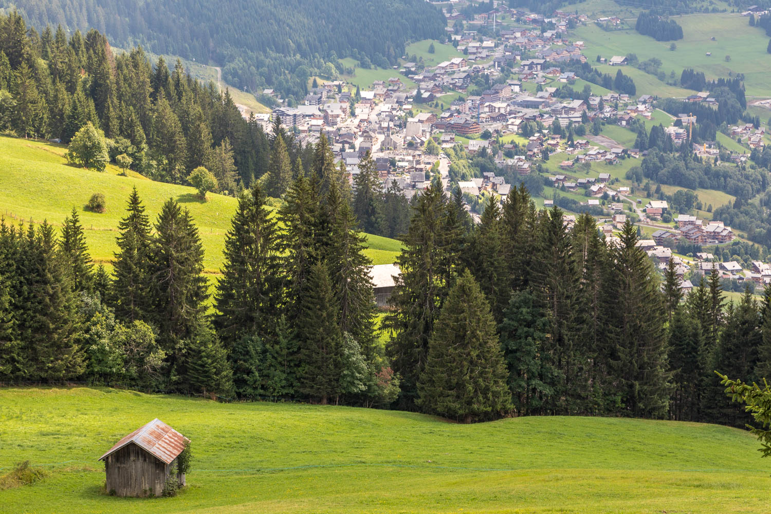
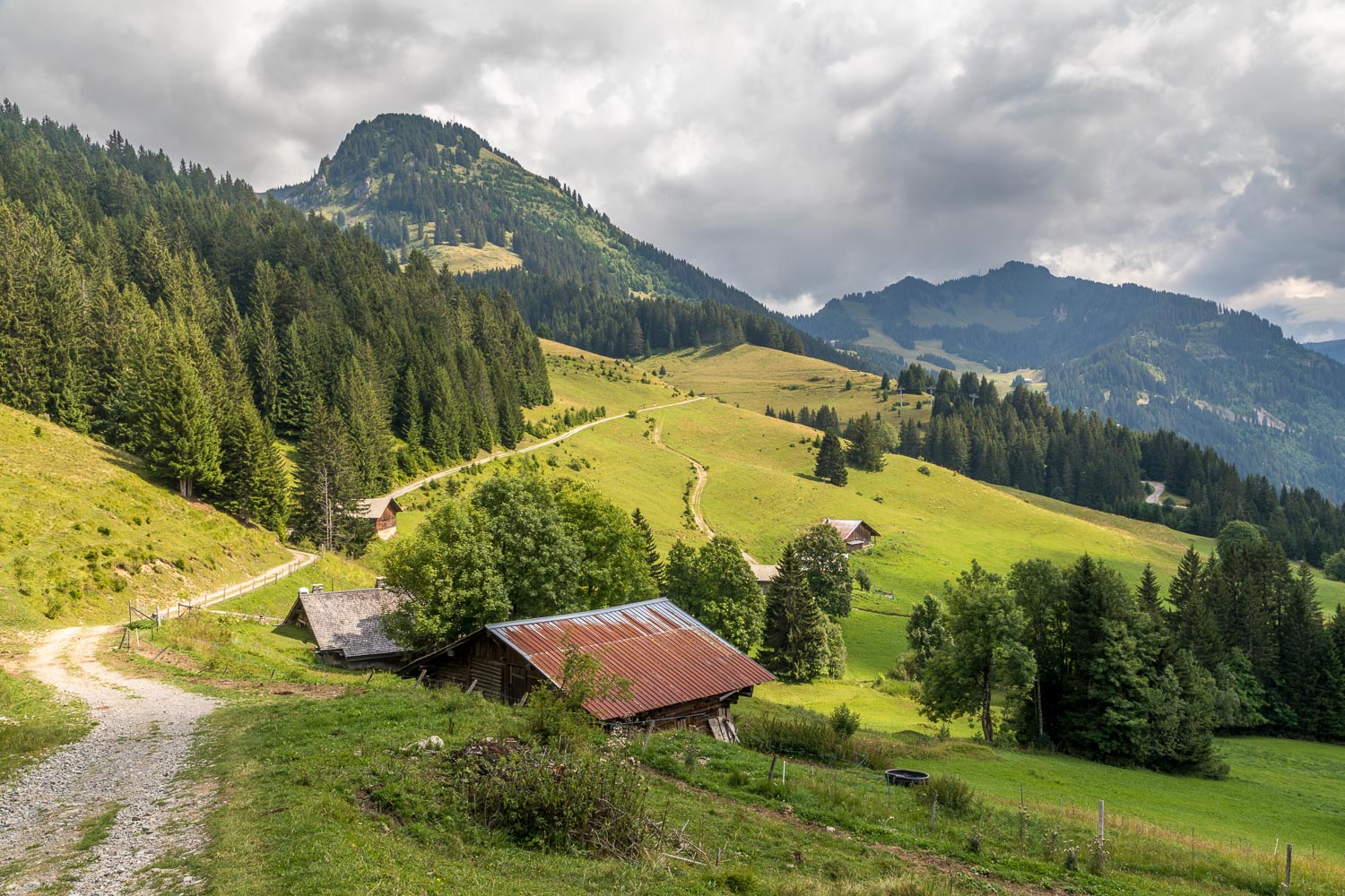
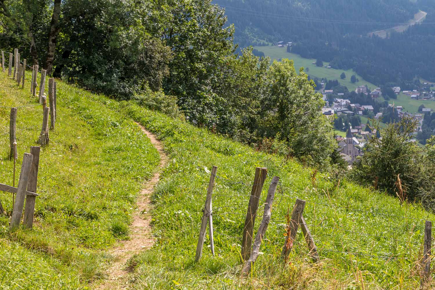
After leaving the hotel we followed a road uphill, and then joined a grassy path across the meadows. There were numerous butterflies here and I spent some time, most of it wasted, trying to photograph these skittish creatures. We had to press on, as this was a long walk and we were already behind schedule. We continued to ascend through a mixture of woodland and meadow, eventually reaching Chalets de Resse (where there is only one chalet). Our route appeared to be barred by a large herd of cows but from previous experience we weren’t unduly worried and walked through the herd, horns and all, without incident
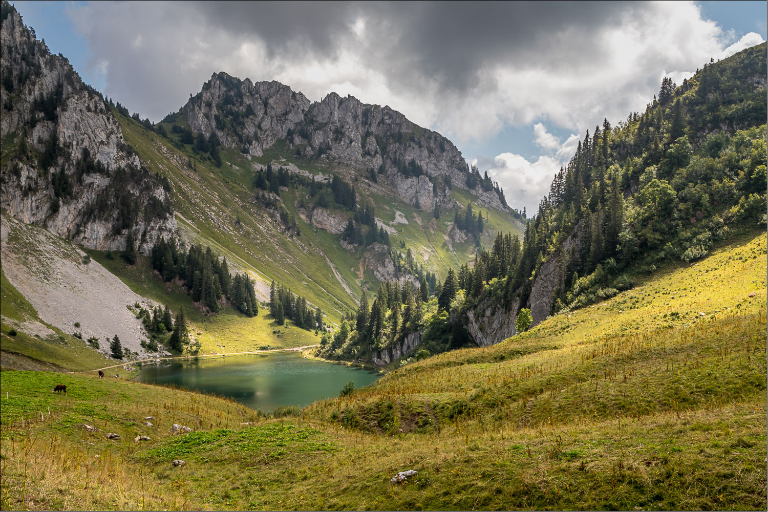
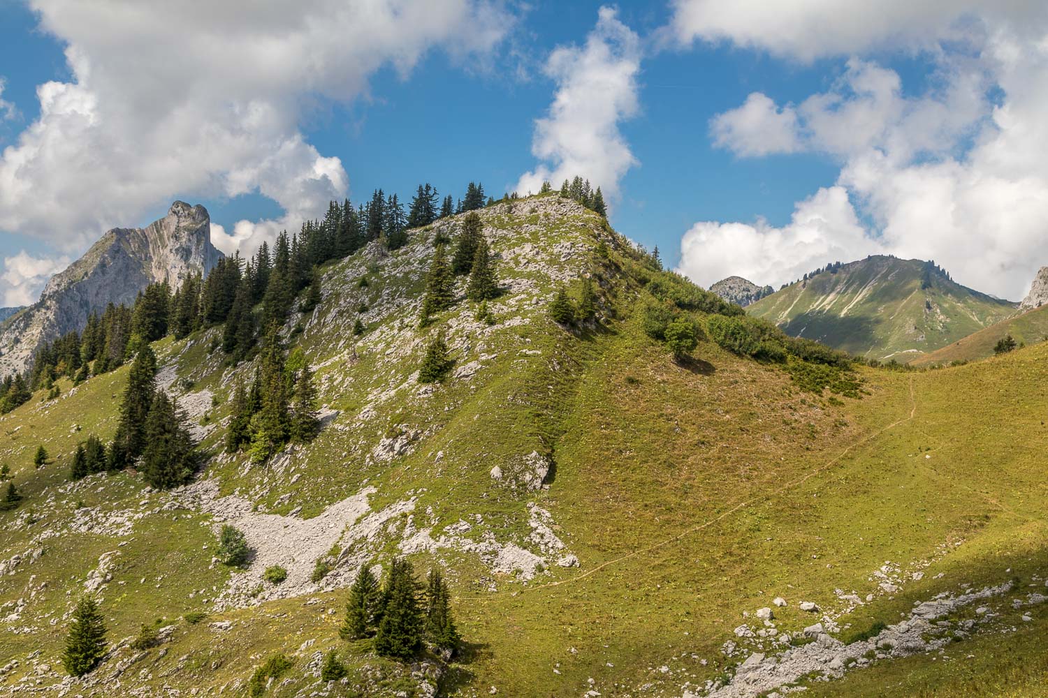
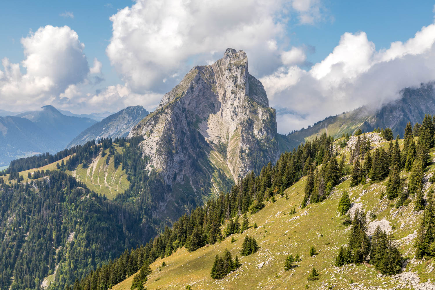
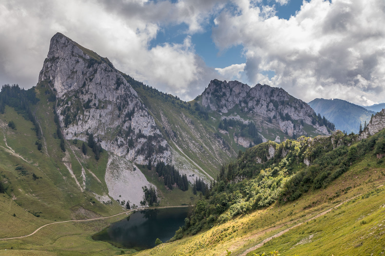
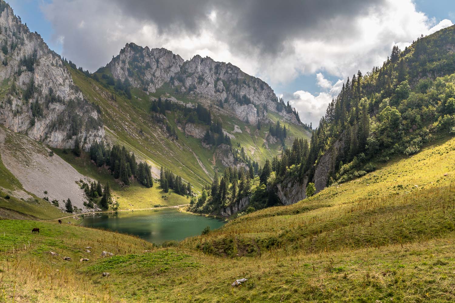
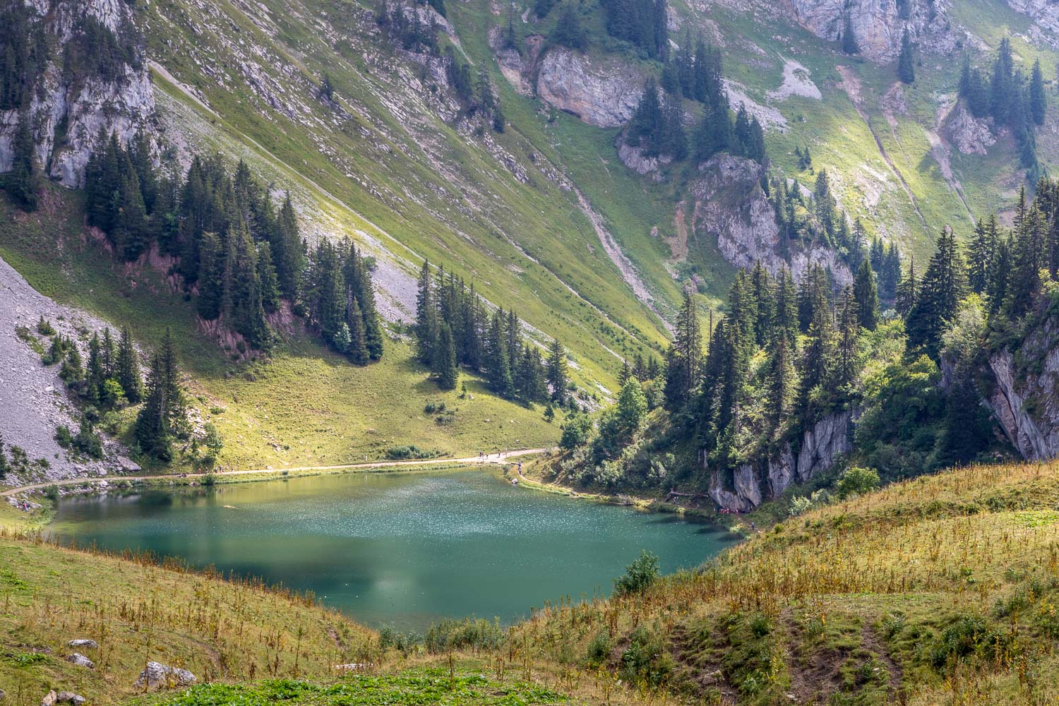
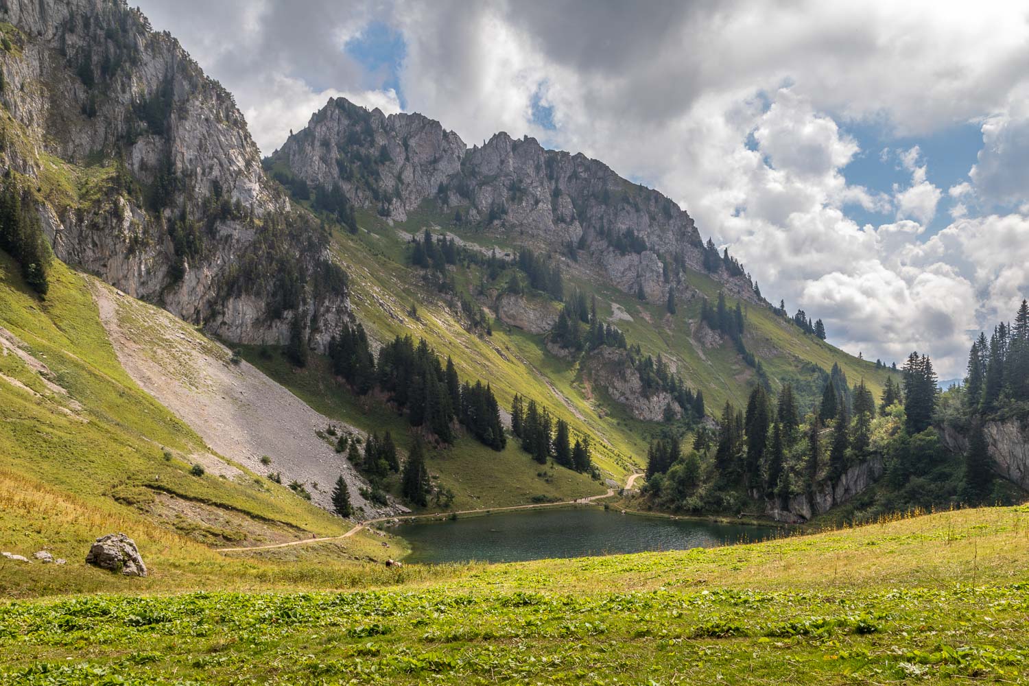
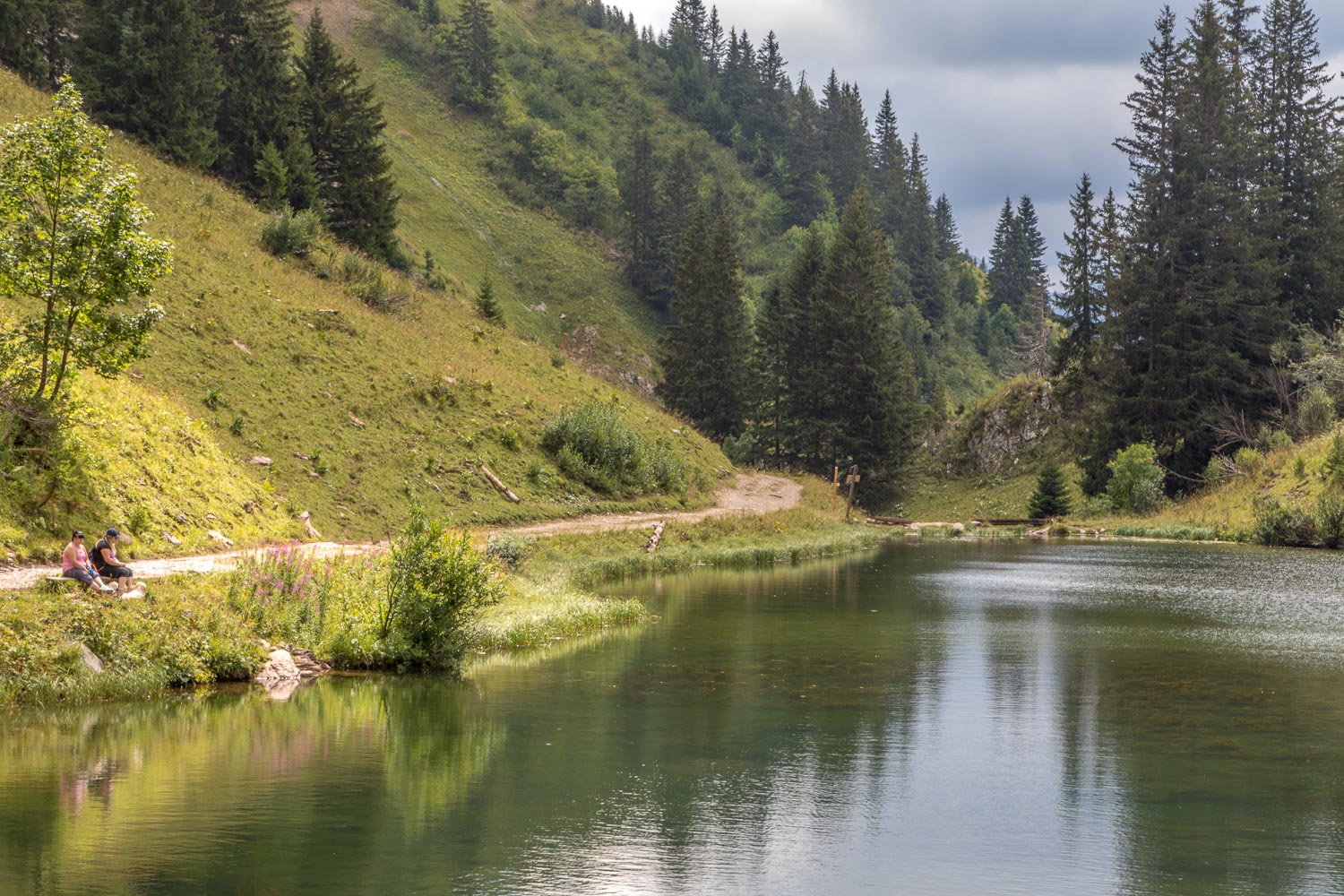
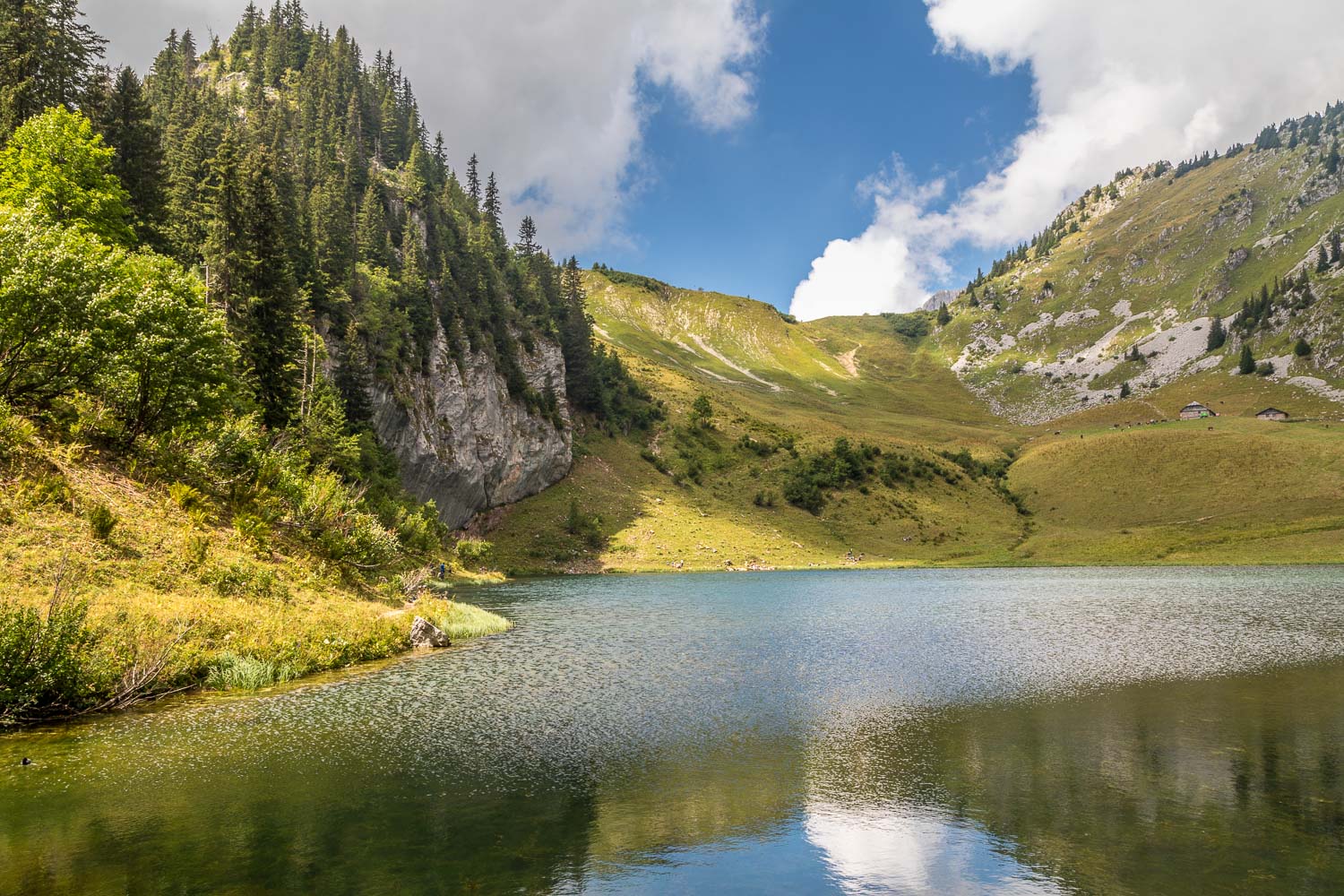
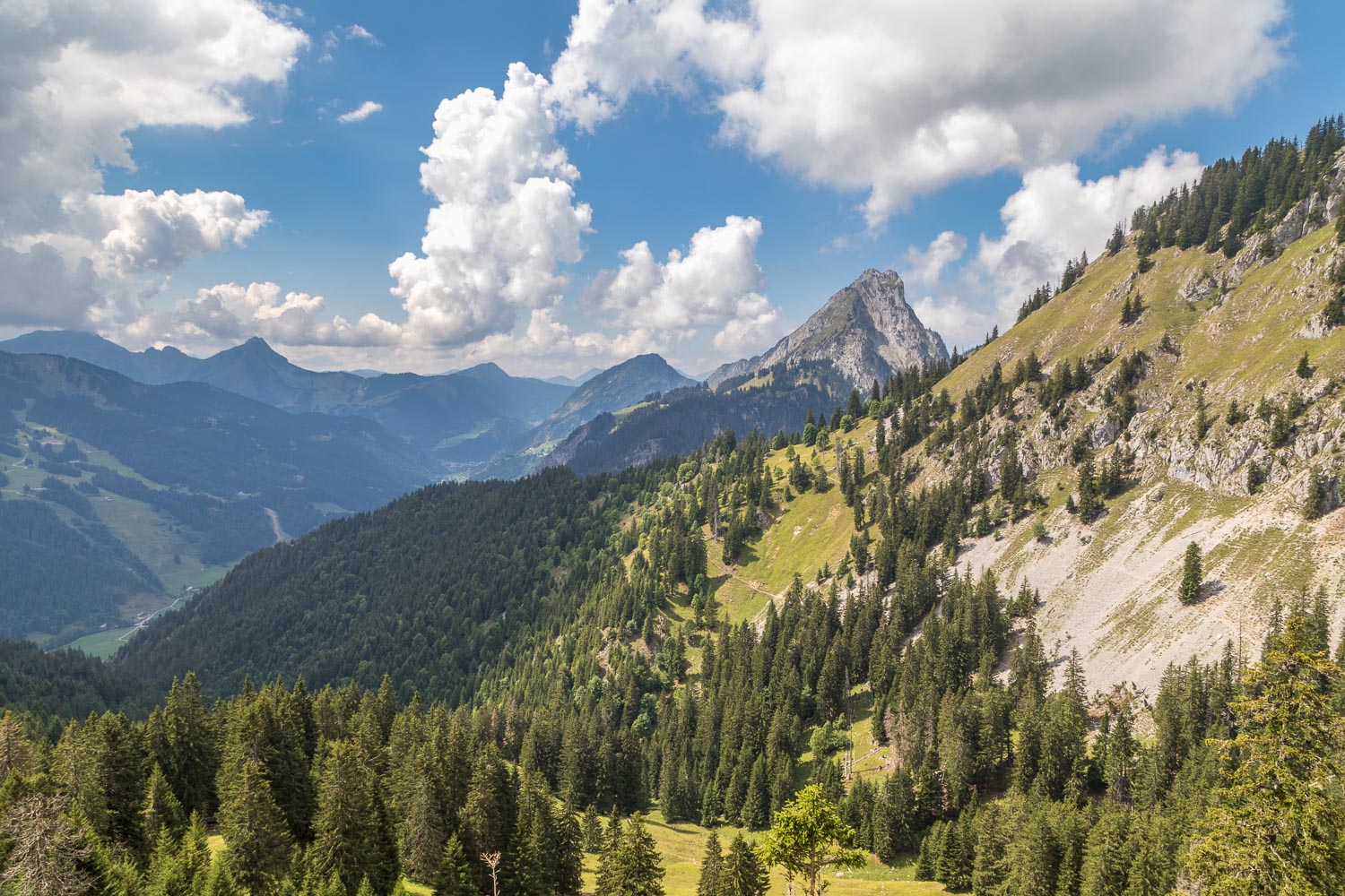
We climbed up to the Col de Resse, and the next section proved to be the scenic highlight of the walk as we followed a ridge which offered views of Mont Blanc in the far distance, mostly covered in cloud, and down to beautiful Lac d’Arvouin below. Near the top of the ridge we stopped for our picnic, only making small inroads into the huge offering, before starting the descent to the lake
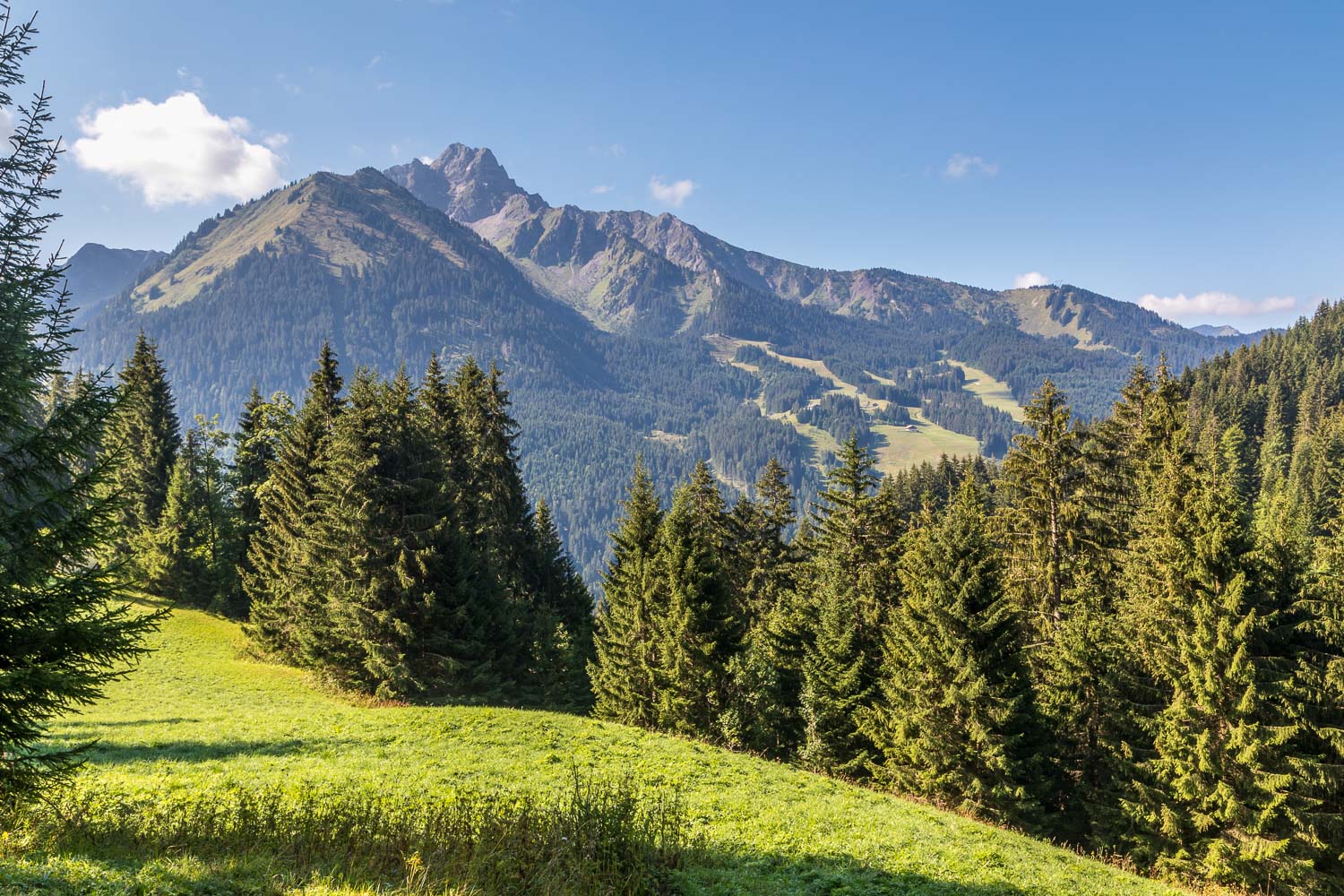
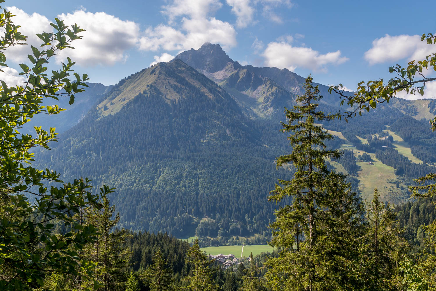
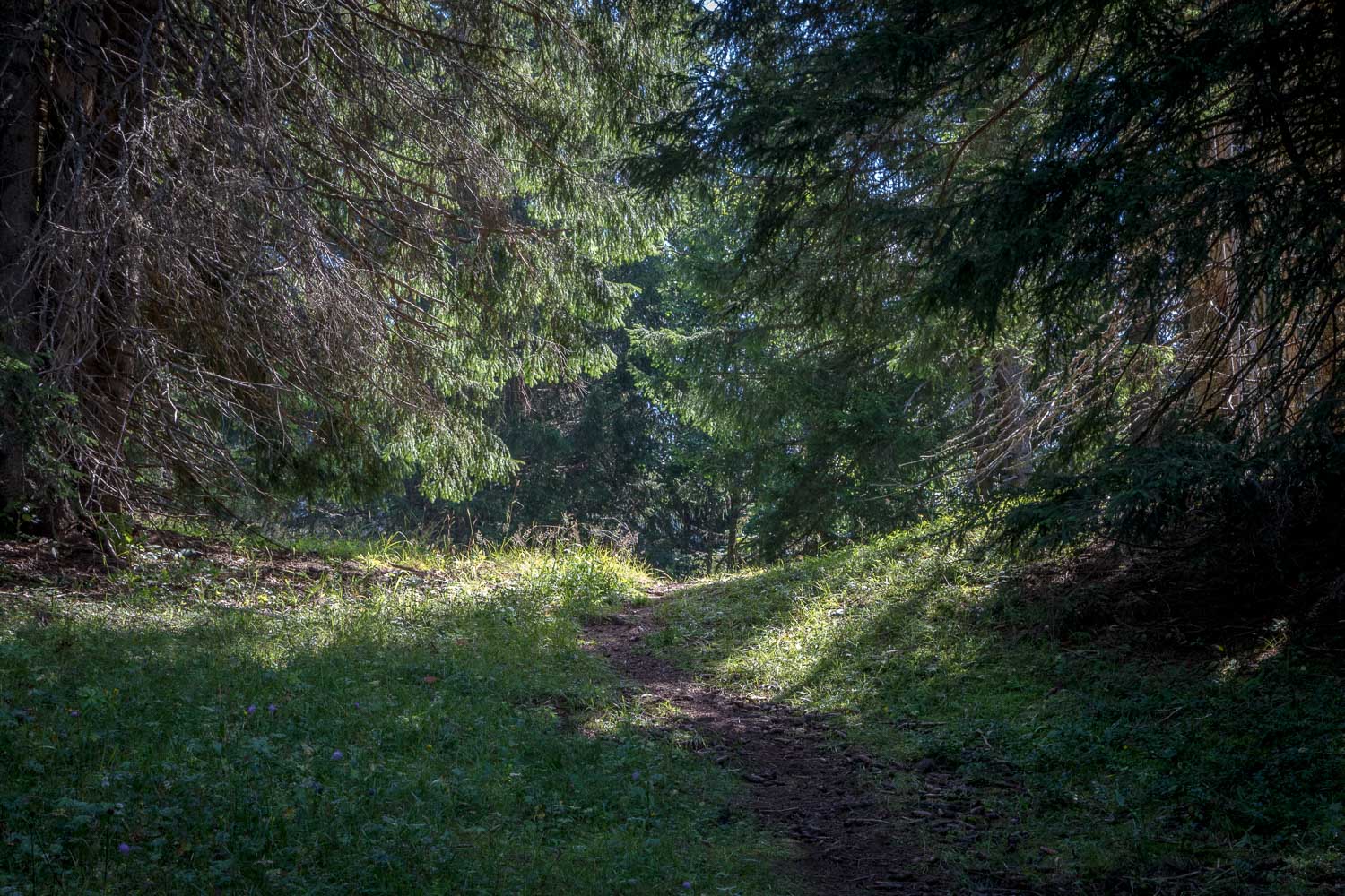
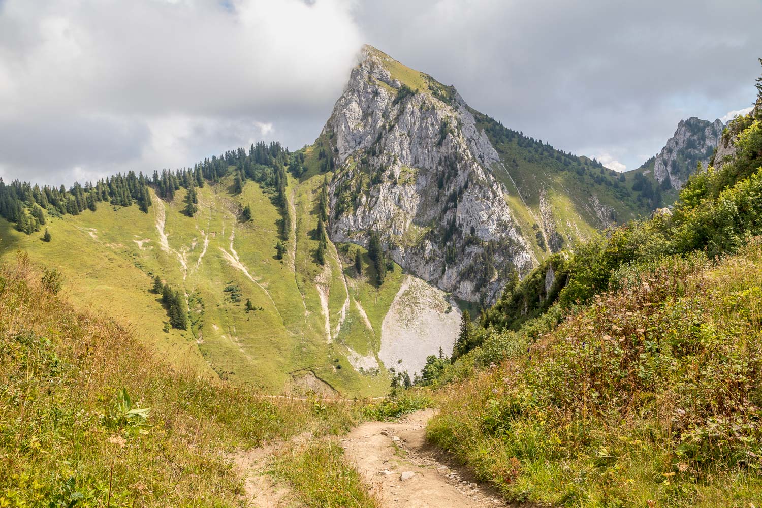
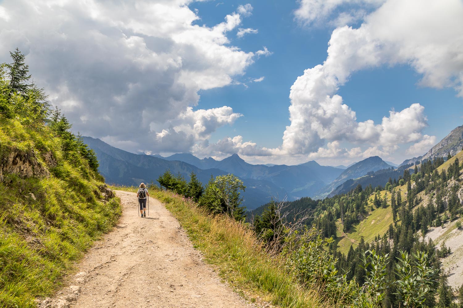
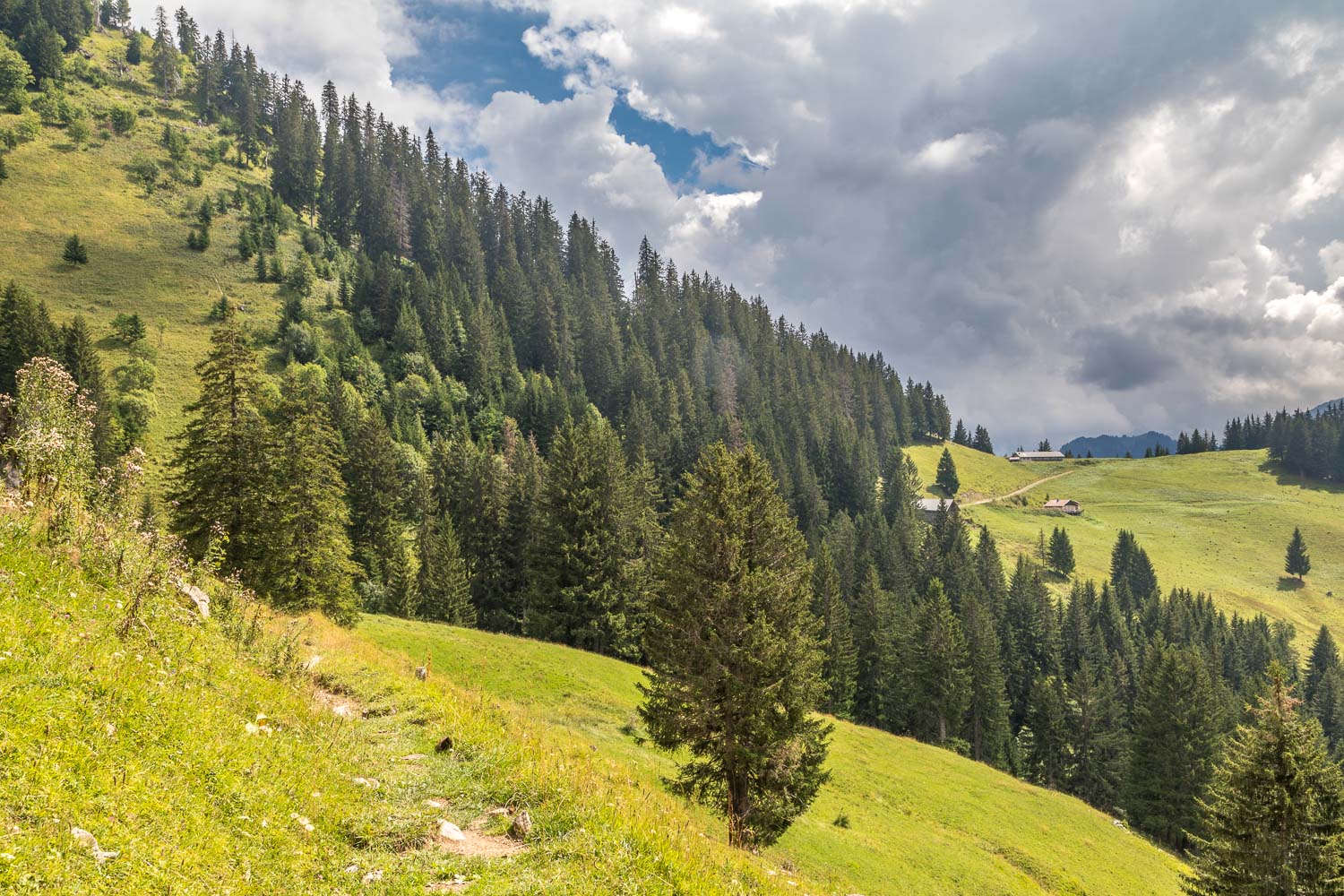
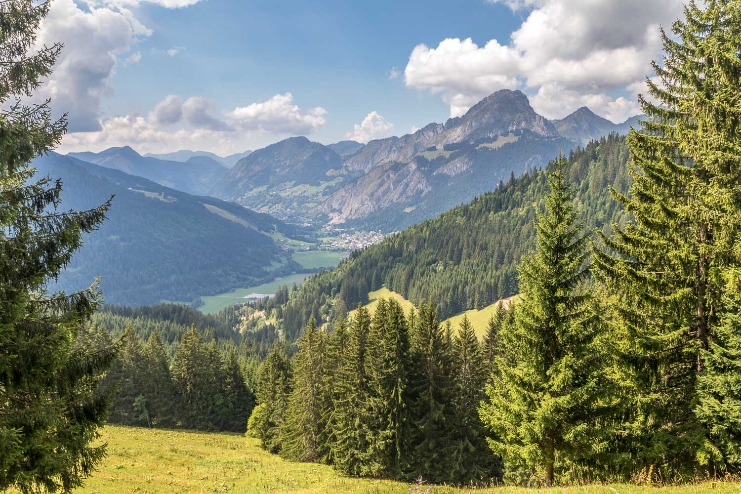
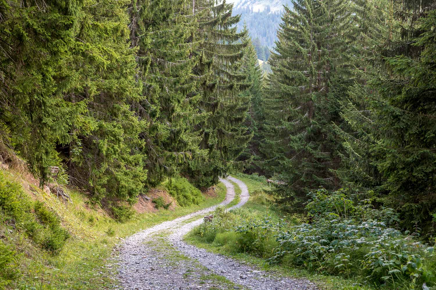
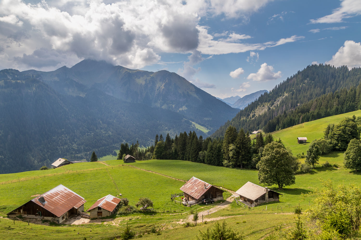
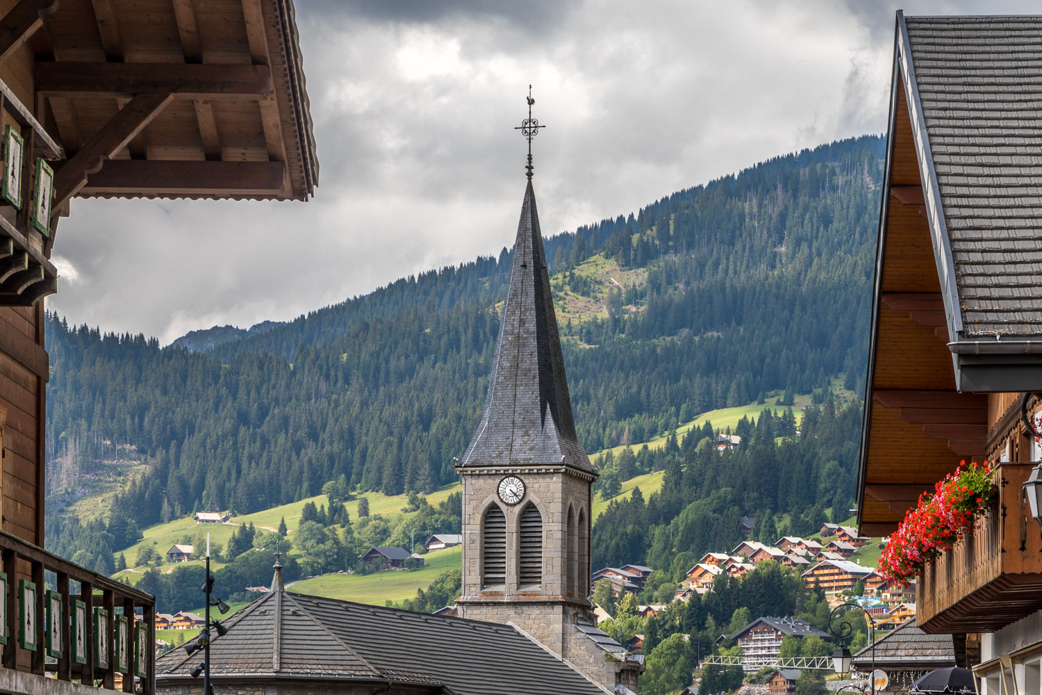
We passed by the lakeshore and continued a long but easy descent towards our destination, following tracks and narrow paths through woodland and meadows, with occasional wonderful views of the surrounding Alps. Eventually Chatel came into view below and we made our way down into the bustling town to check in to our next port of call – the Hotel Macchi – where I broke the world speed record for downing a large glass of beer, having reached the end of this superlative lengthy walk in very hot weather
Click on the icon below for the route map
Scroll down – or click on any photo to enlarge it and you can then view as a slideshow
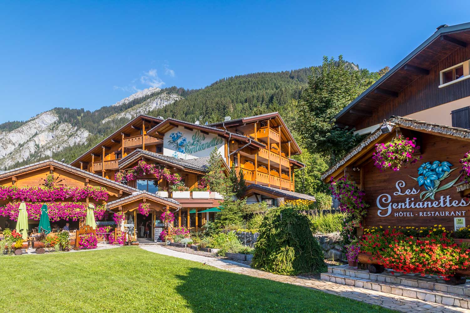
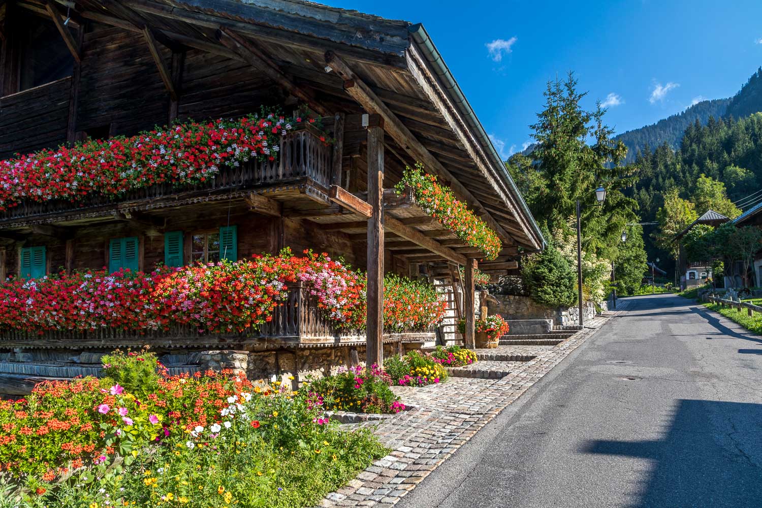
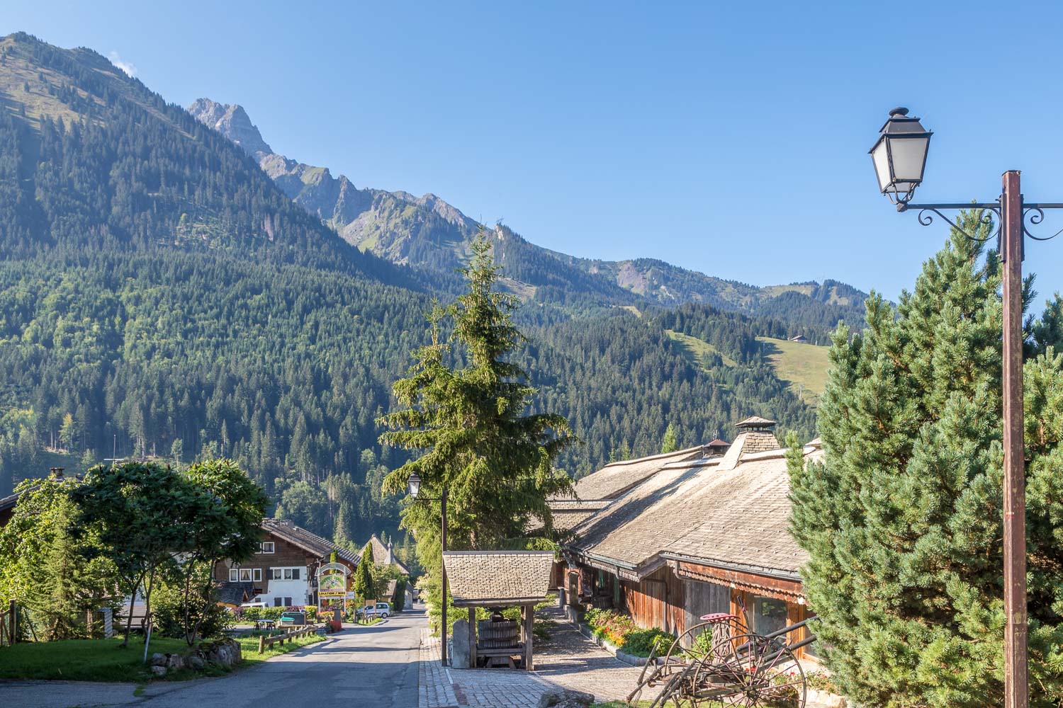
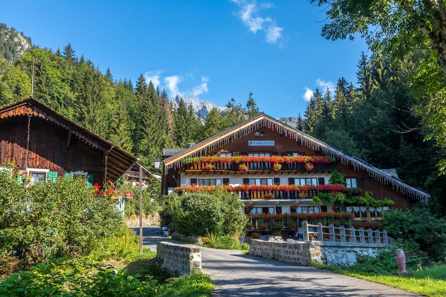
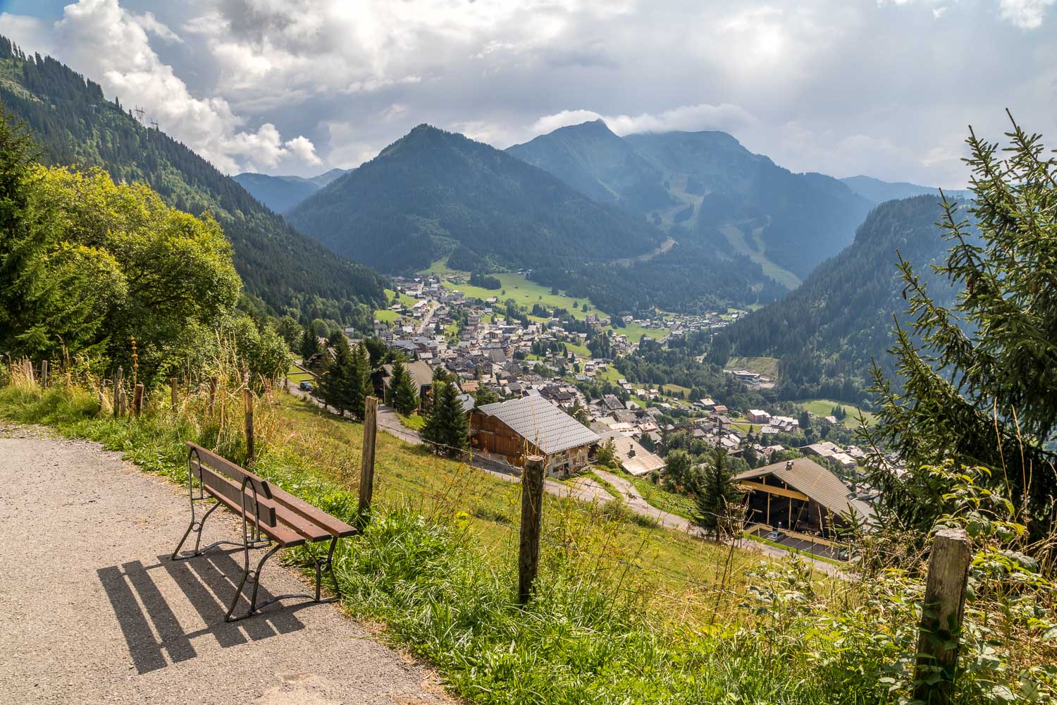
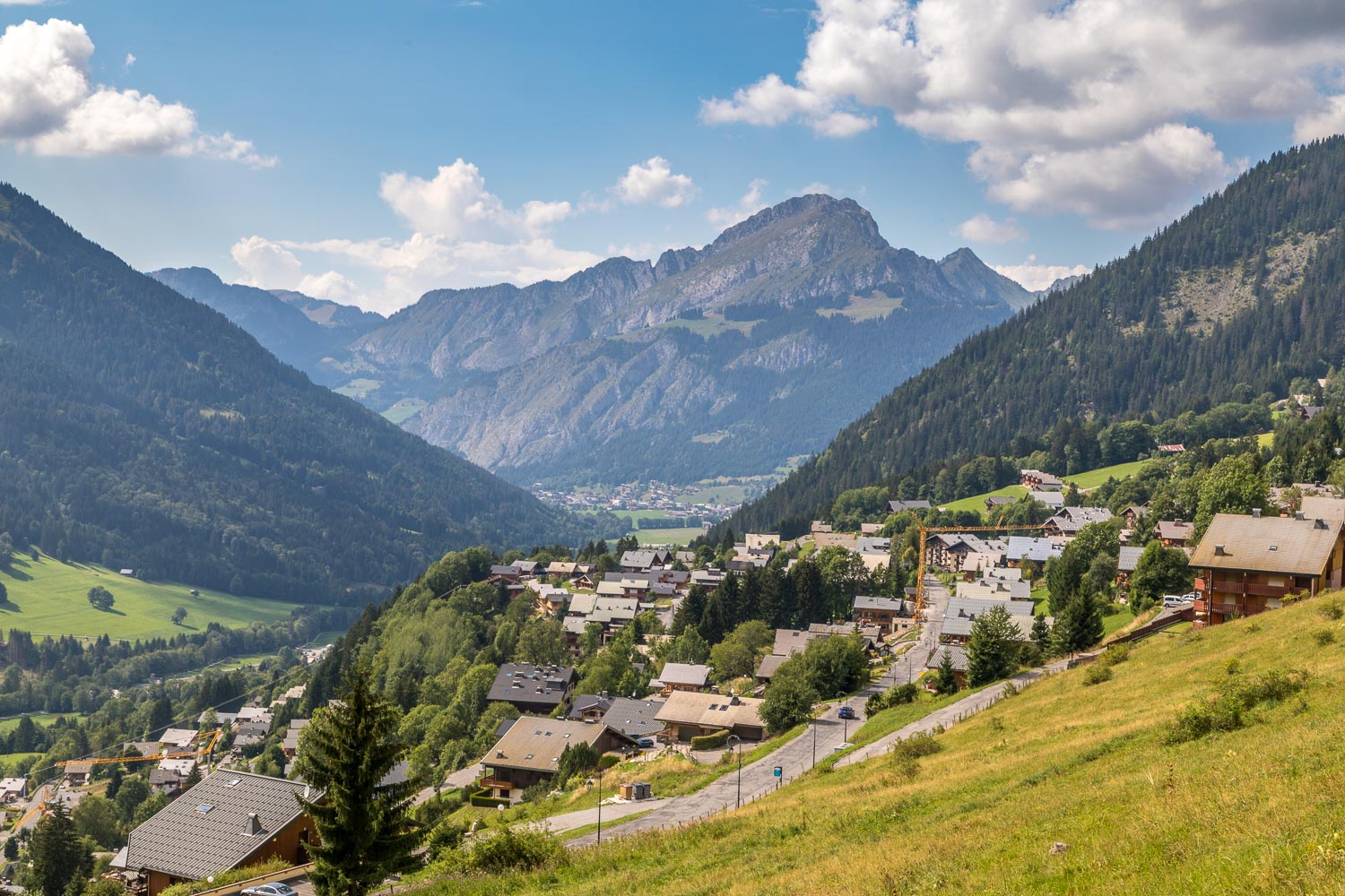
The start of today's walk as we leave the excellent Les Gentianettes Hotel in La Chapelle d'Abondance to follow a high level route to Châtel further along the valley
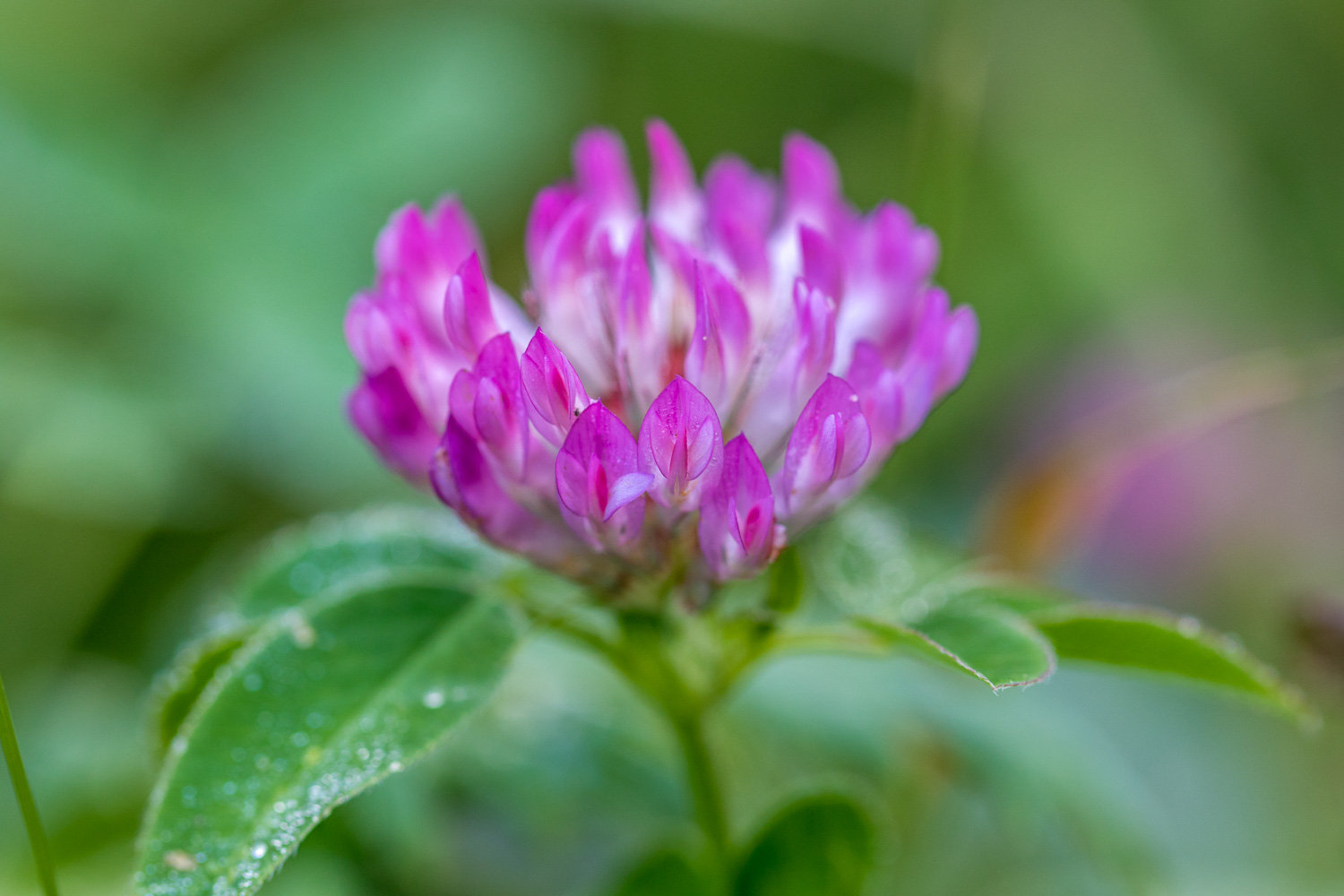
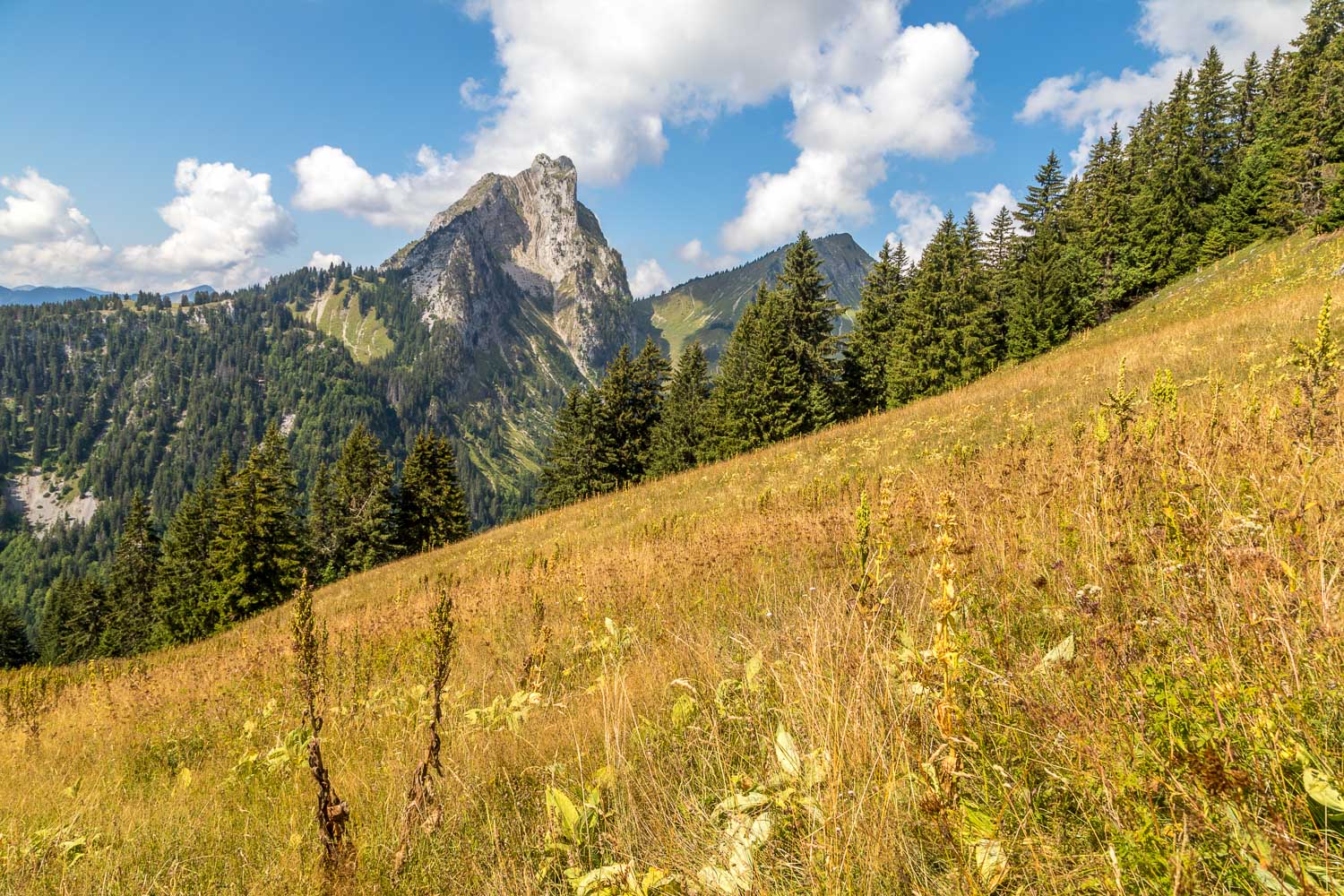
We were too late in the season for a peak display of Alpine flowers, but there were plenty around to attract the butterflies and moths...
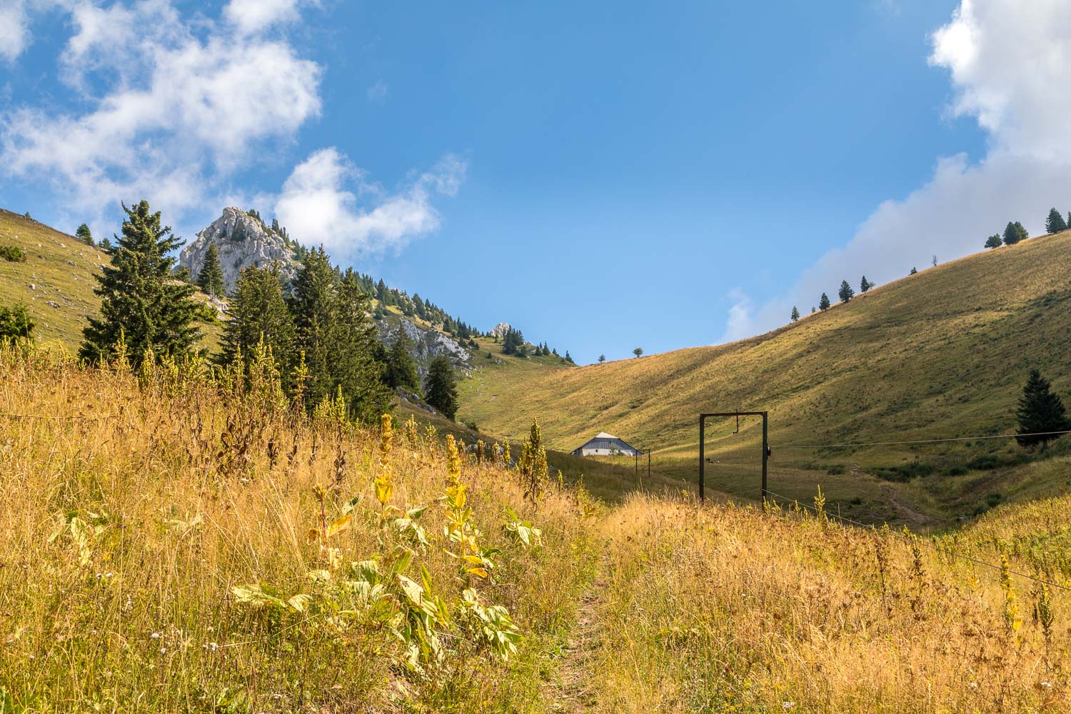
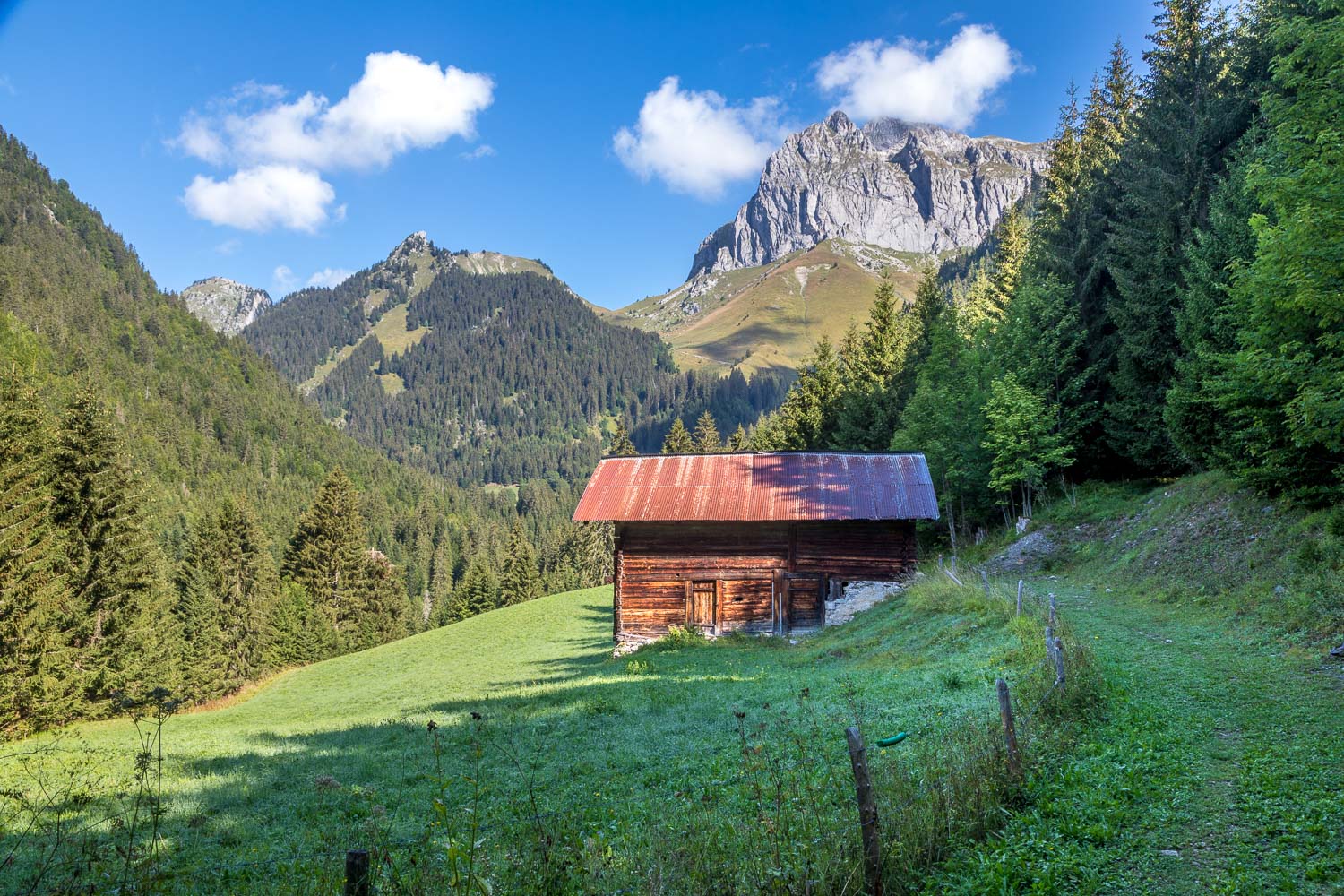
We arrive at Chalets de Resse (where there is only one chalet) and walk beside a lift used to transport milk from the farm
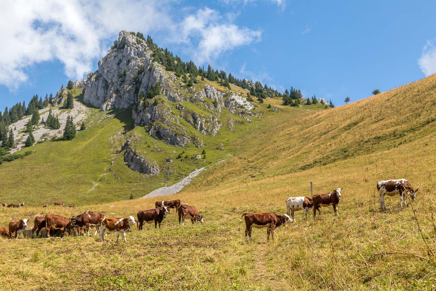
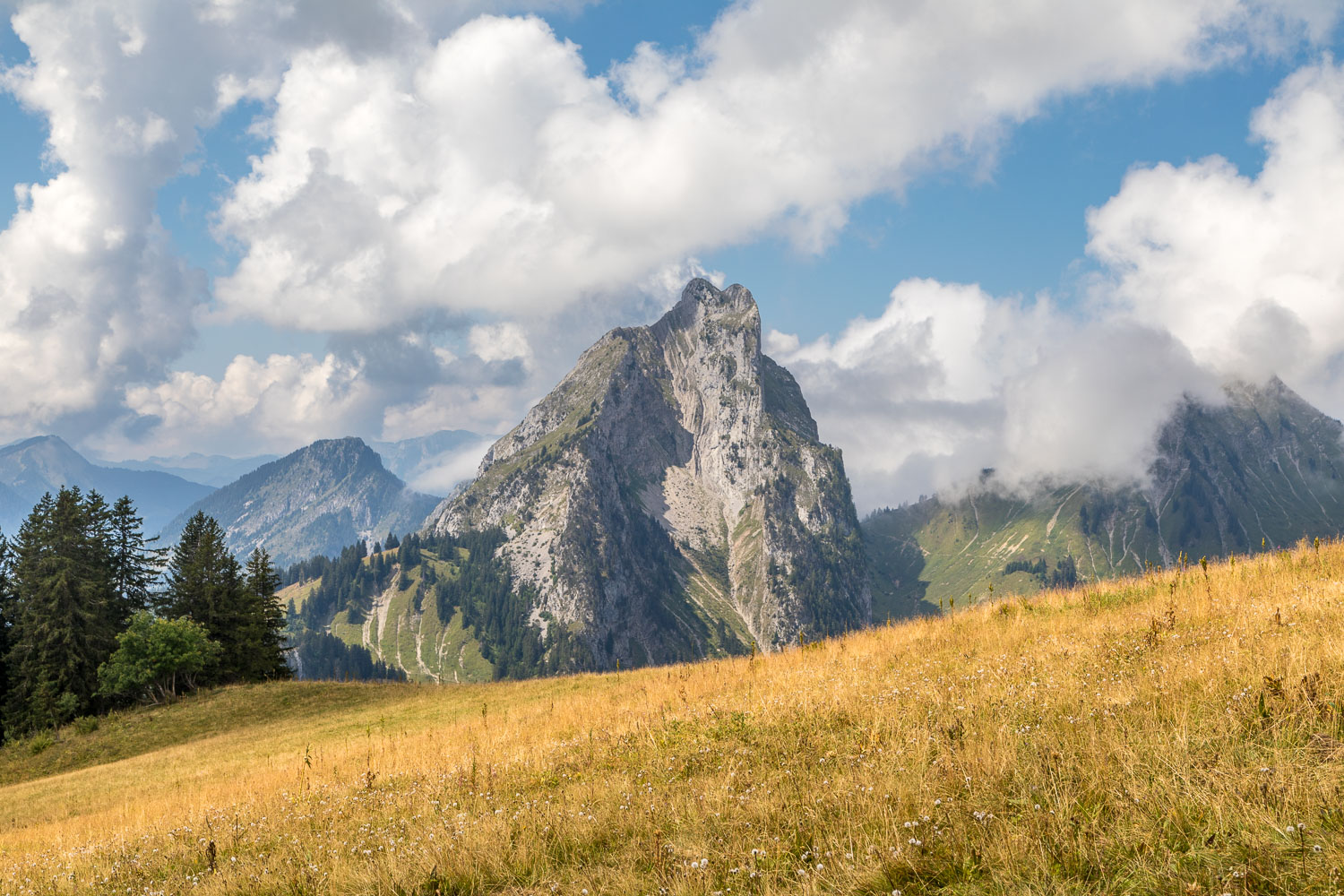
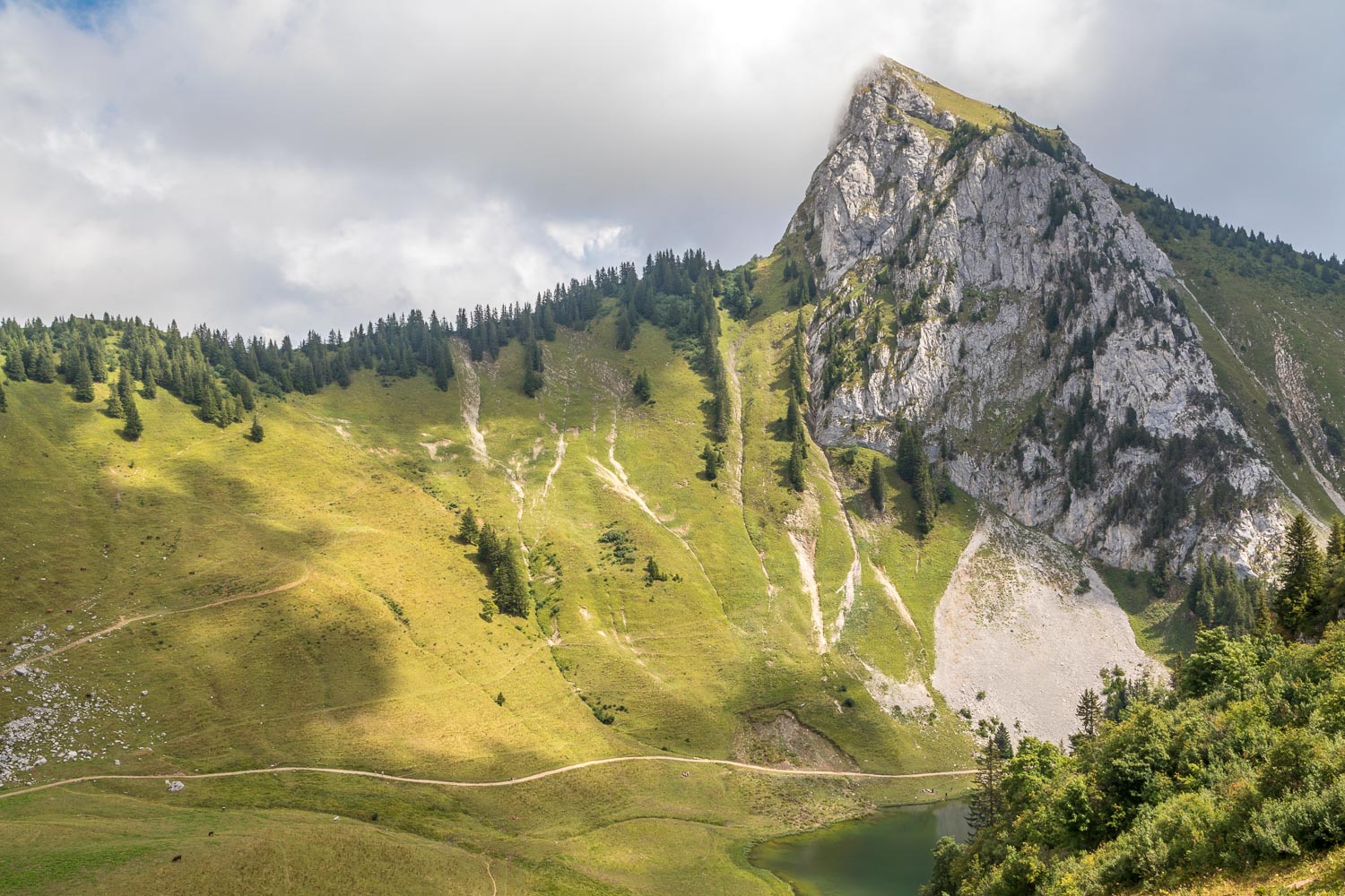
We walk through a herd of alpine cattle towards Pointe d'Arvouin, whose peak lies on the border between France and Switzerland
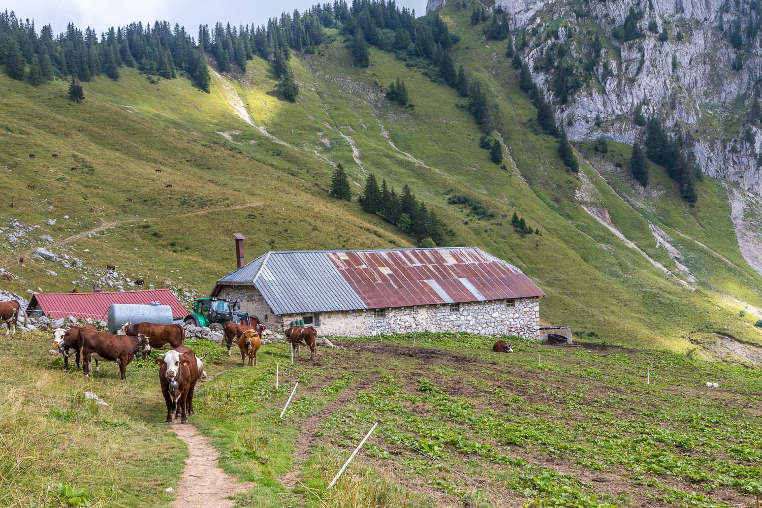
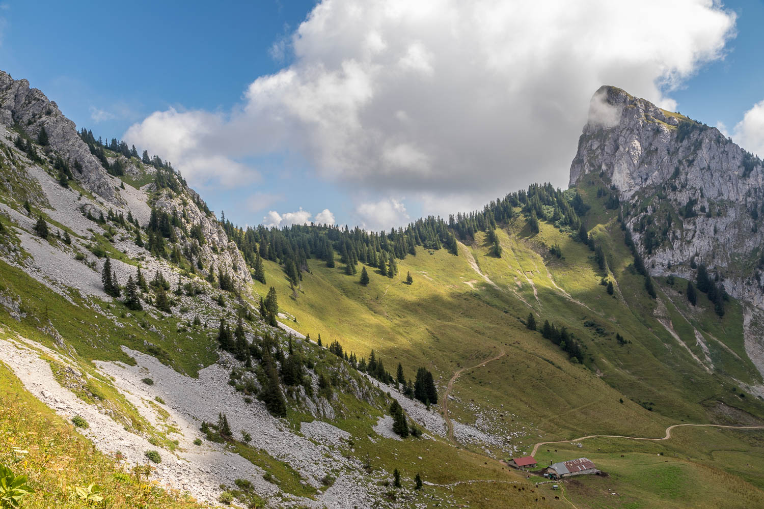
We walk through another herd of alpine cattle at Chalets d'Arvouin. I normally give cows a wide berth but the alpine variety seem to be docile creatures
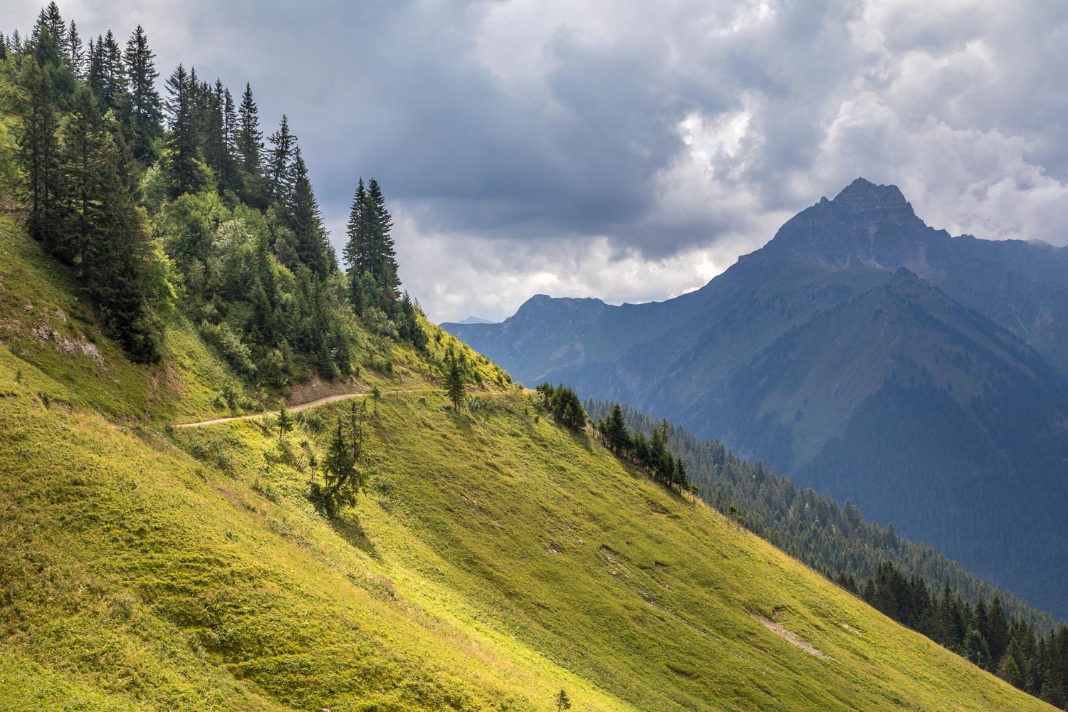
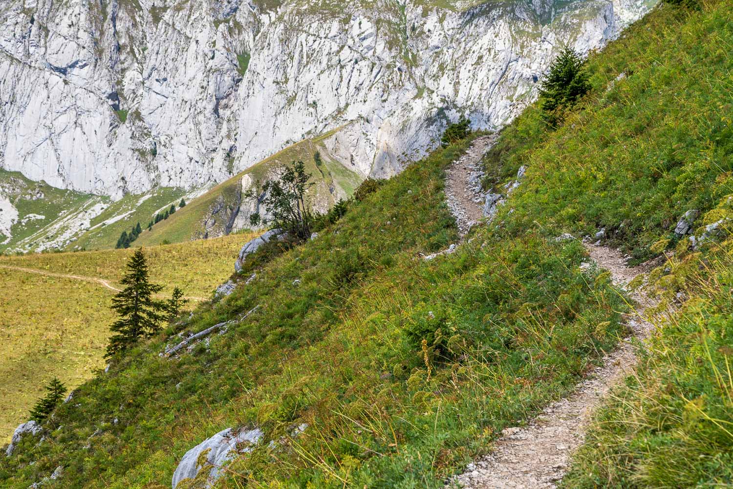
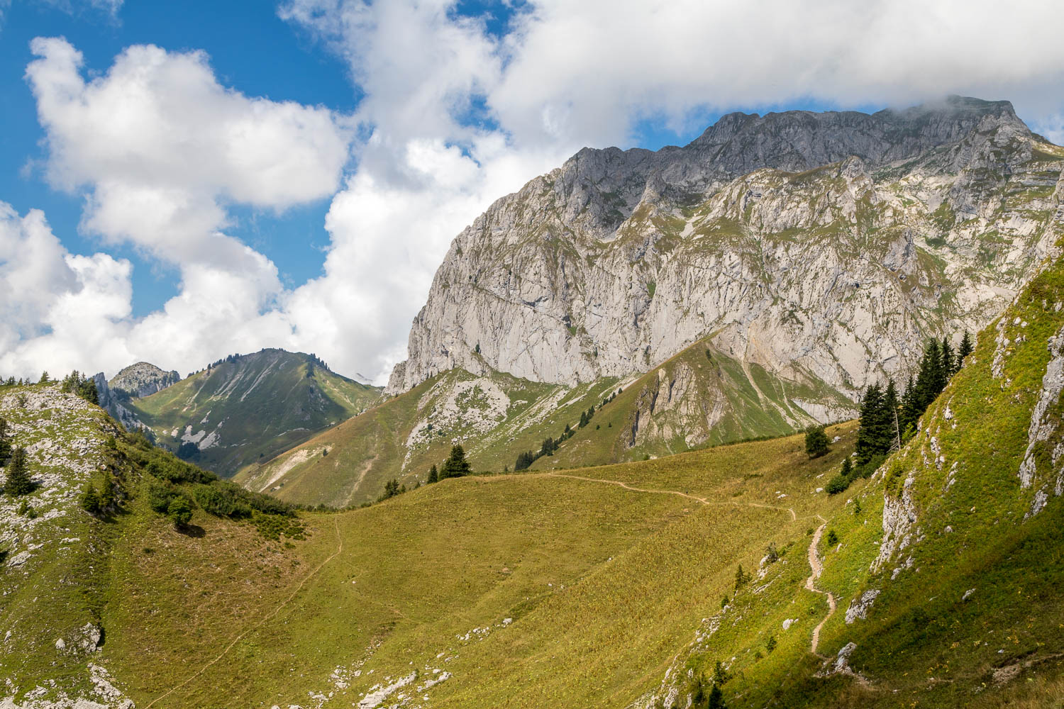
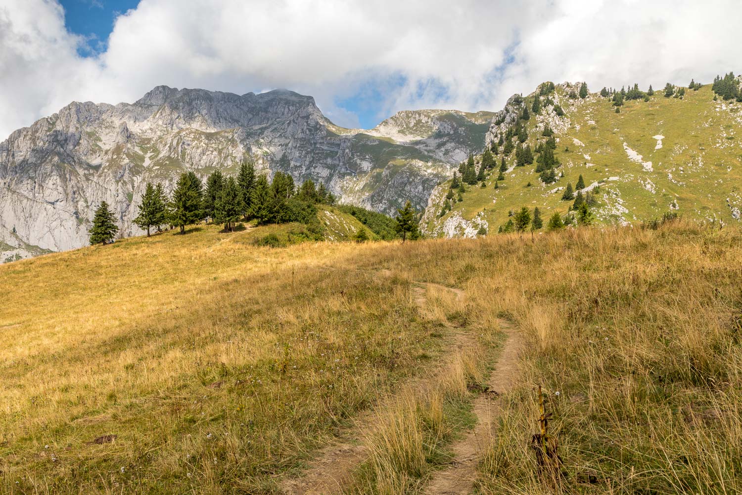
Beyond the lake we follow a path which contours around the mountainside, with Mont de Grange ahead in the shade...
