
Route: Broxa and Hackness
Area: North Yorkshire
Date of walk: 23rd April 2021
Walkers: Andrew and Gilly
Distance: 6.3 miles
Ascent: 800 feet
Weather: Sunshine and blue skies
We started today’s walk from Derwent View Hackness – for anyone not staying at the cottage, the start point is the car park at the nearby village hall. After walking out of the village past Mill Farm we joined a public footpath on the right and crossed over the River Derwent via the footbridge near Wrench Green
There wasn’t a cloud in the sky as we followed the path along the bank of the Derwent, keeping a lookout for kingfishers which nest hereabouts. The riverside path is straightforward most of the time, but there are a couple of sections where it has eroded and care needs to be taken, especially in wet weather
The OS map suggests that the river may be crossed at “Thompson’s Steps (Stepping Stones)”, but this has not been possible for many years, and so it’s necessary to seek out an alternative path further to the west. This involves walking up Estell Lane into Troutsdale and joining a chalk path which climbs and then descends to Bridge Farm
After passing through the farm we joined the lane and crossed the River Derwent again via Langdale Bridge. From here there followed a steep climb up Broxa Banks. At the top of the hill we walked along the lane into Broxa and turned right at Broxa Farm to walk along the Rigg. The tabular nature of these hills only shows itself once the tops are reached and the surrounding countryside is quite flat and featureless – but lovely all the same
After passing through several fields the Rigg narrows, with Hackness Head Wood on one side and Chapman Banks Wood on the other. Just beyond the narrowest point it’s necessary to seek out a track which leads down into Hackness. From here it’s an easy descent back to the start
For other walks here, visit my Find Walks page and enter the name in the ‘Search site’ box
Click on the icon below for the route map (subscribers to OS Maps can view detailed maps of the route, visualise it in aerial 3D, and download the GPX file. Non-subscribers will see a base map)

Scroll down – or click on any photo to enlarge it and you can then view as a slideshow

Earlier in the week, spring flowers in the garden...

...and four types of finch - goldfinch, greenfinch, bullfinch and chaffinch

The start of the walk from Derwent View Hackness. As mentioned in the introduction, anyone not staying at the cottage could start from the village hall, a little further along the road

We pass by a row of cottages in the village

Leaving Hackness

After crossing the footbridge over the River Derwent we set off along the riverbank path

We pass by a couple of old barns


Views along the River Derwent

There are plenty of places to watch for local wildlife - dippers, kingfishers and maybe even an otter


Near Little Hilla Green

We arrive at Estell Lane and enter into Troutsdale, leaving the lane at this sign on the right

Views of Troutsdale as we climb up the chalk path...


We leave the track here and contour around the hillside

Broxa Rigg in the distance - we'll walk along the top of the Rigg on our return

We descend to Langdale End, only to have to climb up the other side of the valley

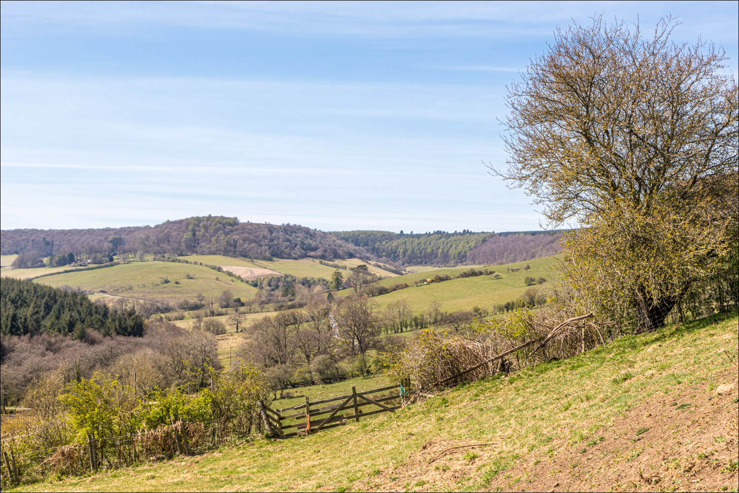
The conical outline of Howden Hill ahead

We arrive at the valley road near Langdale End and cross Langdale Bridge - a stiff climb up Broxa Banks awaits us just past the bridge

Looking back from Broxa Banks

Howden Hill again

We arrive in the small settlement of Broxa


Downtown Broxa

After walking past Broxa Farm we join the path across Broxa Rigg, one of the tabular hills in these parts

It's an easy stroll along the top of Broxa Rigg...

A path on the left provides a slightly longer return route via Lowdales, which lies below

Just beyond the narrowest part of Broxa Rigg we cross to the other side to seek out the track back to Hackness

Start of the track leading down through Chapman Banks Wood

Descending back into Hackness...

Broxa Lane is below, and the end of the walk is just around the corner

We arrive back at Derwent View, and the end of a wonderful walk

Follow the link for more walks in North Yorkshire (152)
