
Route: Arnside Knott
Area: Southern Lake District
Date of walk: 24th October 2014
Walkers: Andrew
Distance: 4.9 miles
Ascent: 700 feet
Weather: overcast at first but brighter later on
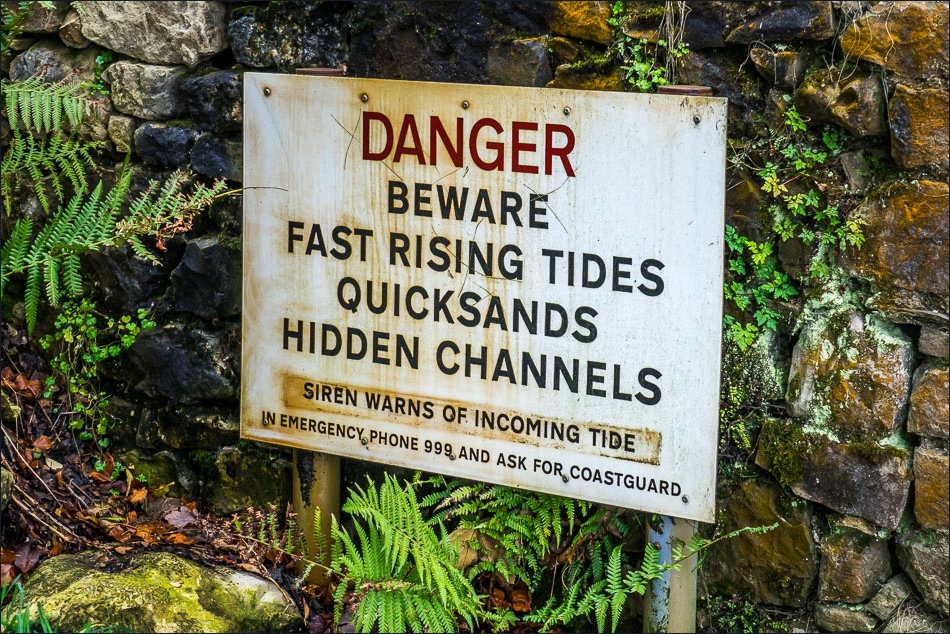
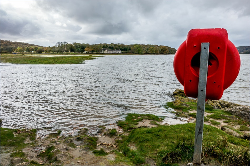
Having visited Leighton Moss in the morning (click here for the link), I decided on another walk in the area, and after leaving the reserve made the short journey over to Arnside. I walked through Ashmeadow Woodlands down to the estuary where the River Kent enters Morecambe Bay. It was high tide and the water lapped over the path in places
After walking along the shore for a while I headed inland at Far Arnside and climbed up to Arnside knott. It was easy going. The weather had been indifferent up to this point, but as I neared the top there was some welcome sunshine and blue skies which enhanced the great views
It was an easy descent back down to Arnside. I’d really enjoyed this walk in what is a new area for me
Click on the icon below for the route map (subscribers to OS Maps can view detailed maps of the route, visualise it in aerial 3D, and download the GPX file. Non-subscribers will see a base map)


Walking down to the sands from Arnside village

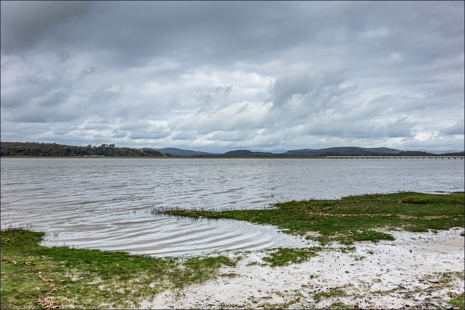
It’s high tide and the River Kent has covered the sands
Looking across to lakeland

Grange-over-Sands
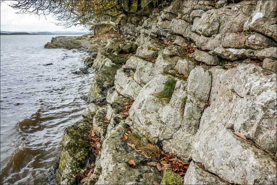
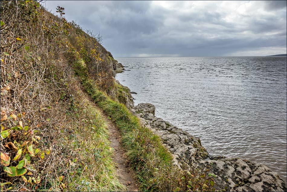
The high tide meant that I had to clamber along a few rocky shelves in places
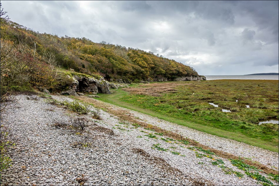
The path turns inland at a small estuary

Grange-over-Sands

A little egret, with Grange-over-Sands across the Kent Channel
Morecambe Bay as I walk further round the point

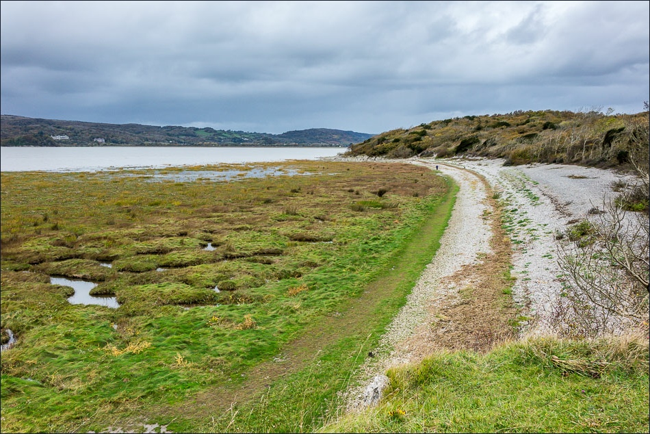
The path hugs the shoreline as it passes below Arnside Park

Approaching Far Arnside

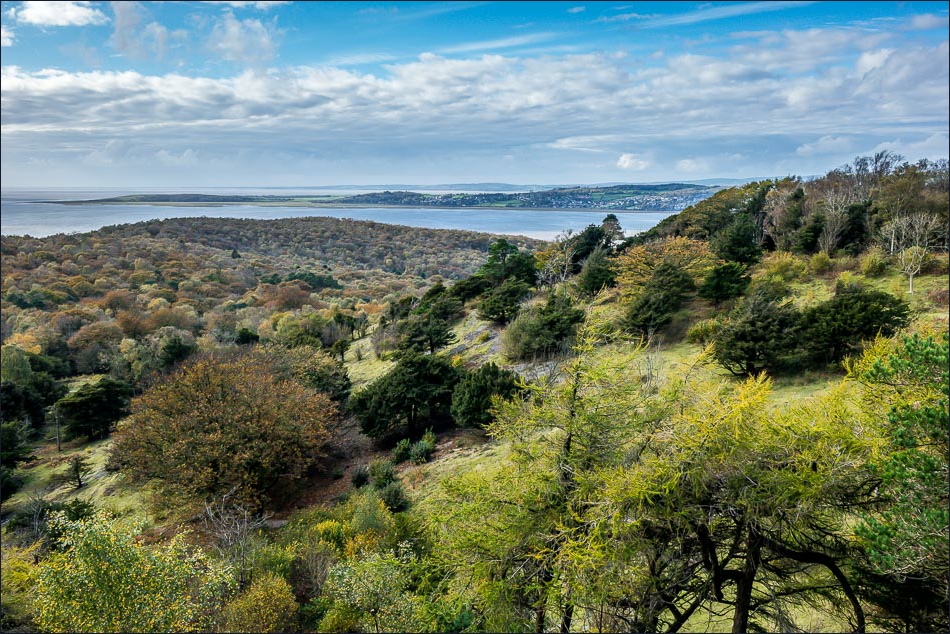
Start of the return leg to Arnside over Arnside Knott
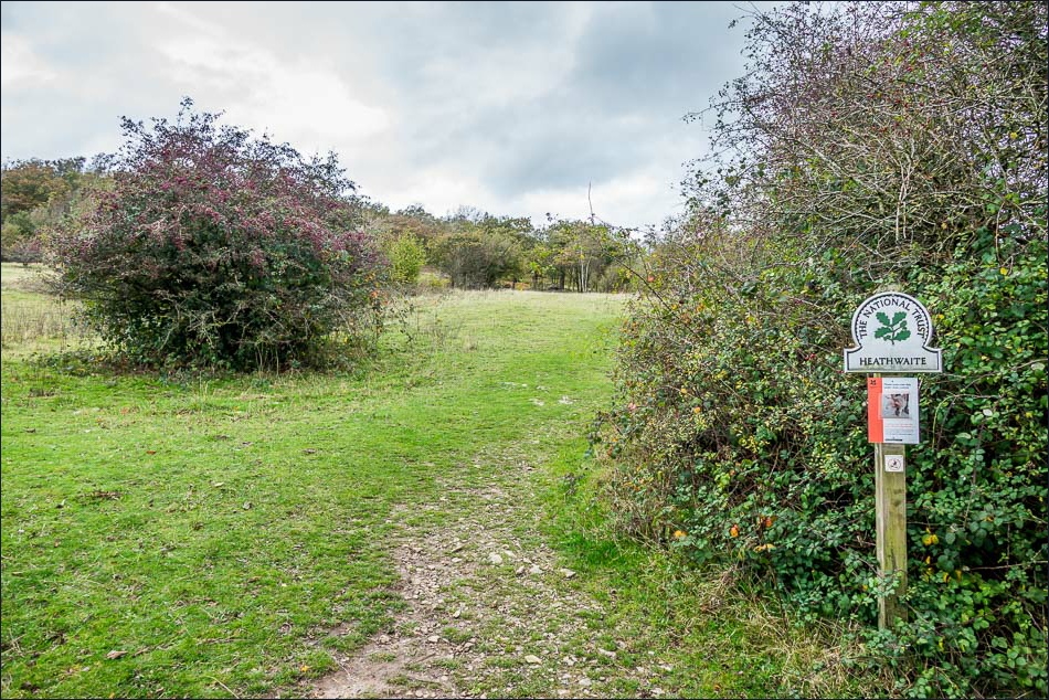
It’s a very easy climb set at a gentle gradient

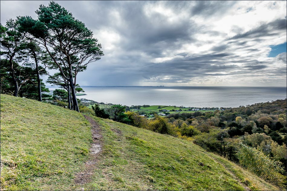
Looking back along the Silverdale coast as I approach the top
Morecambe Bay

Looking back over Arnside Park
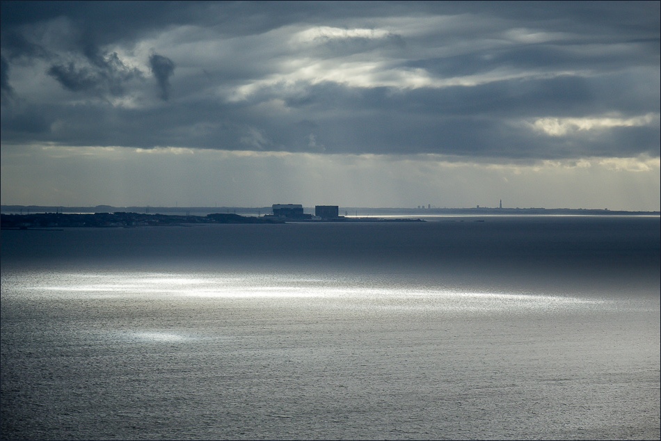
Zooming in on Heysham nuclear power station - 11.5 miles away

Another view over Arnside Park as the weather improves by the minute

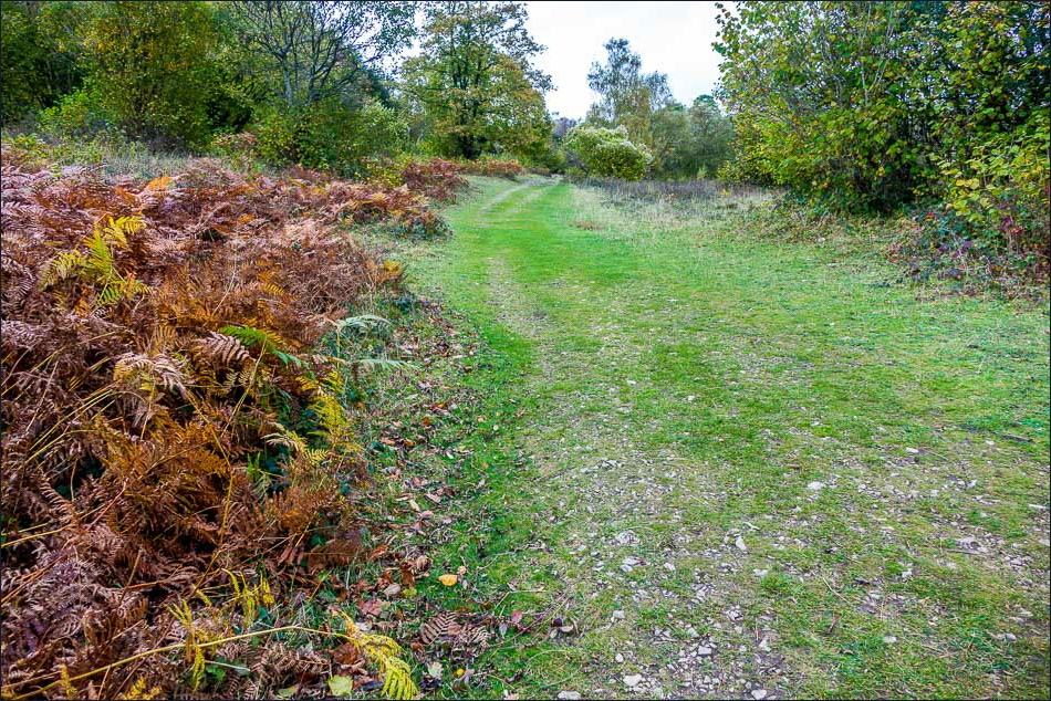
The lower top of Arnside Knott

The Lake District Fells from the top

Start of the descent back to Arnside

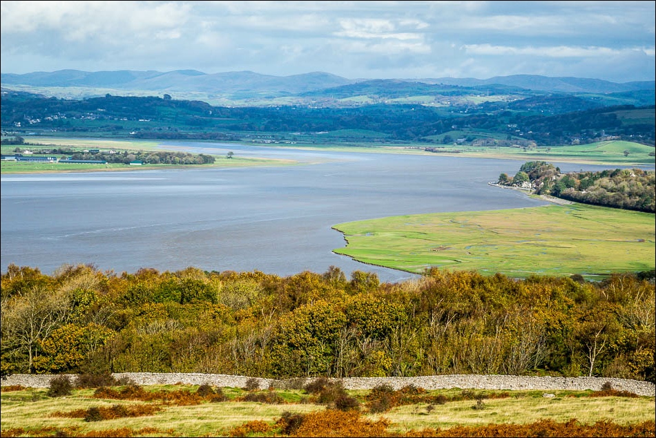
Looking across the Kent Estuary to Grange-over-Sands

The Kent railway viaduct

A wonderful (and very easy) descent with this view of Arnside, the viaduct, the River Kent and lakeland ahead all the way down
Milnthorpe Sands

A final photo of that wonderful view, just before I arrive back in Arnside to complete the circuit
