
Route: Circuit of Buttermere
Area: Western Lake District
Date of walk: 2nd October 2025
Walkers: Andrew and Gilly
Distance: 5.1 miles
Ascent: 400 feet
Weather: Cloudy, windy and light rain most of the time
The weather forecast predicted rain and strong winds today, so we decided on a low level walk and could think of nowhere better than Buttermere, whose beauty outshines poor weather. This is a walk which we follow two or three times a year, though we normally avoid summer when it can become rather busy
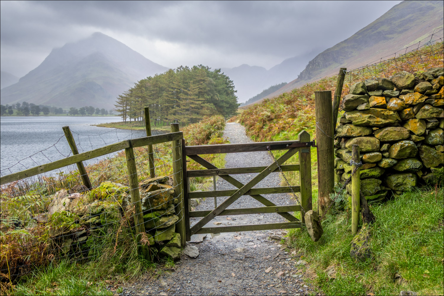
We parked as usual in the National Trust car park at Long How and walked through Buttermere village, passing by the Buttermere Court Hotel (formerly The Fish). We followed the path to the foot of the lake and set off around Buttermere in an anti-clockwise direction in order to keep the best views ahead. Just beyond the foot of the lake we noticed a sign indicating that a rockfall had occurred above the path at Hassness, on the other side of the lake, and that the path was closed. By now we were committed to the walk so decided to carry on, knowing that we could return via the Buttermere road if needs be
We continued along the lakeshore path and just beyond the head of Buttermere we turned left to begin the return leg. After crossing Peggy’s Bridge and passing by Gatesgarth Farm we set off along the other shore, following a short roadside section before turning off to walk around the stony beach at Hassness. At the end of the beach, not far from the rock tunnel, the path was closed due to the rockfall. We had no choice other than to follow the alternative path up to the Buttermere road. There are no possible diversions back to the lakeshore and so we continued along the road back into the village, visiting St James’ Church and the Wainwright memorial tablet along the way. We enjoyed the walk, although points must be deducted on this occasion on account of the path closure, which unfortunately wasn’t advertised at the start of the walk
Note: the route map does not reflect the path closure, and the path has since been re-opened
For other walks here, visit my Find Walks page and enter the name in the ‘Search site’ box
Click on the icon below for the route map (subscribers to OS Maps can view detailed maps of the route, visualise it in aerial 3D, and download the GPX file. Non-subscribers will see a base map)

Scroll down – or click on any photo to enlarge it and you can then view as a slideshow

The start of the walk as we pass by Cragg House Farm Buttermere, with High Stile looming overhead

Beyond Buttermere village we follow a path towards Sourmilk Gill

We arrive at the foot of Buttermere with Fleetwith Pike at its head

We cross the footbridge over Buttermere Dubs

The path closure sign mentioned in the introduction and which affects the path along the other shore. By this time we were committed to the walk and so carried on in the knowledge that we could walk beside the road if necessary

The foot of Buttermere

We follow the path through Burtness Wood...


Looking across to Hassness - the closed section is somewhere below the house

Fleetwith Pike at the head of Buttermere

We walk past Horse Close, another small area of woodland

Approaching the head of Buttermere

Looking across to Char Cottage, a fishing hut named after the Arctic Char fish that were once plentiful in the lake...


Warnscale Bottom beyond the head of the lake

Looking across to Hassness again

Warnscale Bottom

We cross over Peggy's Bridge

Warnscale Beck from Peggy's Bridge

Char Cottage again

Gatesgarth Farm, with Fleetwith Pike towering above

Beyond the farm, a short road section takes us past the head of Buttermere, and a group of herdwicks sheltering from the rain

High Crag

Looking back to Haystacks...

...and to Green Crag and Warnscale Beck

We walk along the stony beach at Hassness

High Crag and Comb Beck

A rather unhelpful sign indicating the path closure on account of a rockfall. The path on the left is indeed closed but another path on the right leads up to the road and enables us to complete the circuit

The roadside route back isn't ideal but there are good views along the way. Hopefully the path will be repaired soon

One bonus of the diversion is that it takes us past St James' Church Buttermere, which we visit in order to pay our respects to the fellwalker and author Alfred Wainwright

The Wainwright memorial tablet facing Haystacks, his favourite fell. From the church we walk back through the village at the end of a morning well spent, despite poor weather and a path closure

The following morning, a red squirrel in the garden
