
Route: Studland
Area: Dorest
Date of walk: 5th November 2014
Walkers: Andrew
Distance: 6.6 miles
Ascent: 800 feet
Weather: Windy, plenty of sun and blue skies
After this morning’s enjoyable walk at nearby Arne there was still time for an afternoon walk so I decided to make the most of our short stay in this area and visit nearby Studland. As an internationally important example of lowland heath, the area is managed by the National Trust as a designated National Nature Reserve
I parked in the car park near the South Beach and joined the South West Coast Path which took me to the headland known as Old Harry. The eroded cliff formations were spectacular
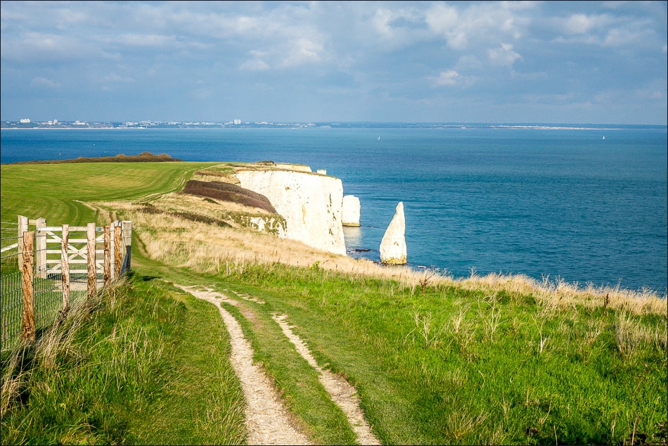
I carried on along the coastal path past The Pinnacles, and then headed inland over Ballards Down following the Purbeck Way. There were lovely views from the Down in all directions. After descending from the Down I walked across to Godlingston Heath, owned by the National Trust. A series of paths through the heathland took me back to Studland to complete a fantastic walk
Click on the icon below for the route map (subscribers to OS Maps can view detailed maps of the route, visualise it in aerial 3D, and download the GPX file. Non-subscribers will see a base map)

Scroll down – or click on any photo to enlarge it and you can then view as a slideshow

On the way to Studland from this morning’s walk at Arne, I stopped to admire this view of Corfe Castle

The start of the walk, a path near the car park in Studland leading down to the beach

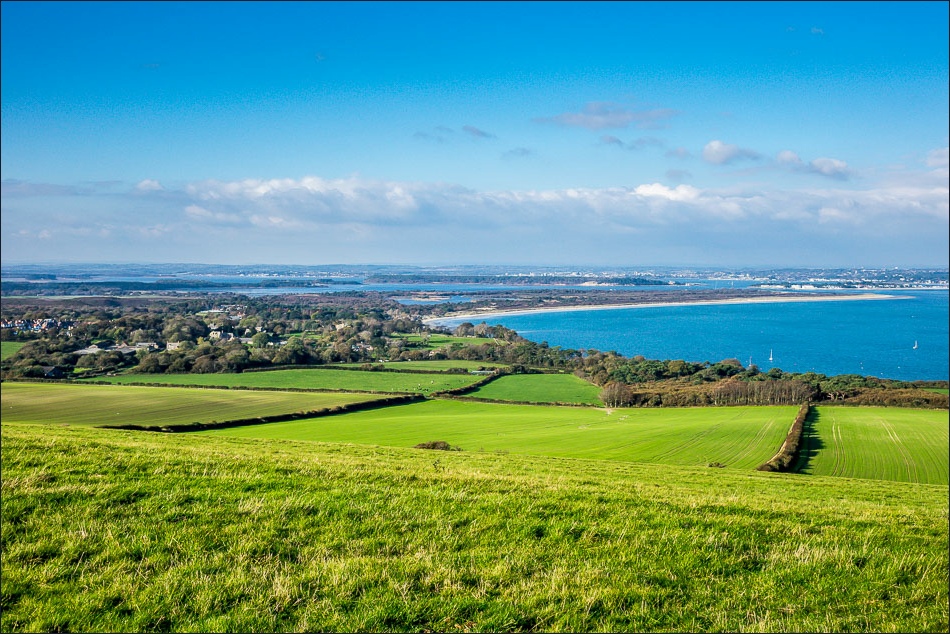
Looking across Studland Bay to Bournemouth

South Beach - my walk will take me along the top of the cliffs to The Foreland

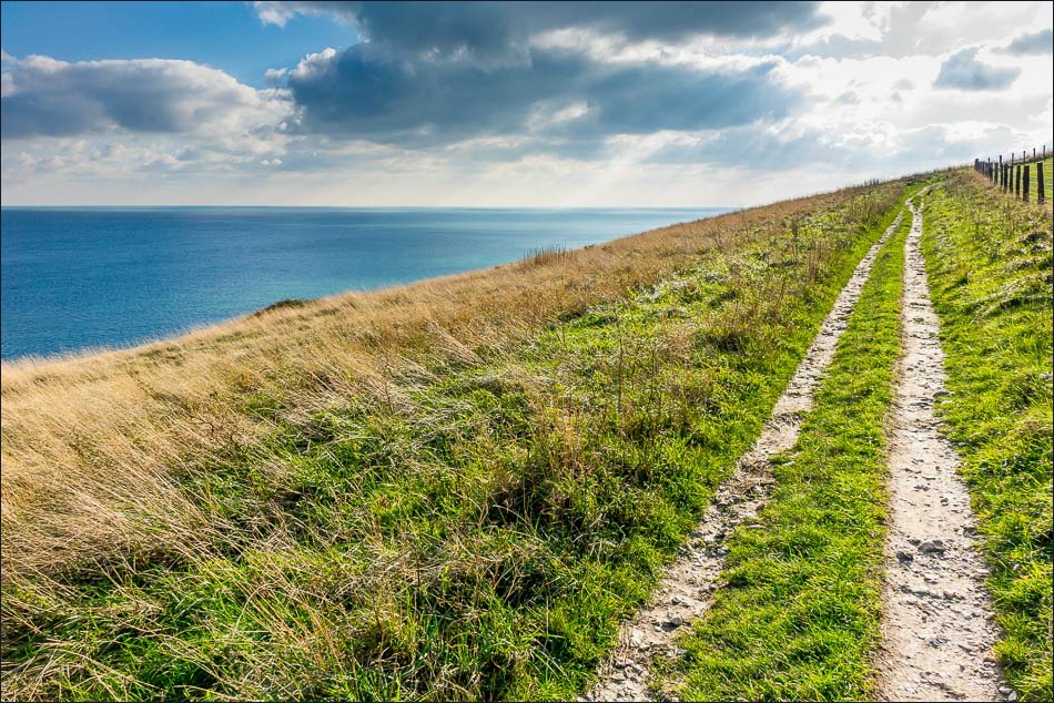
I follow the South West Coast Path

Studland Bay

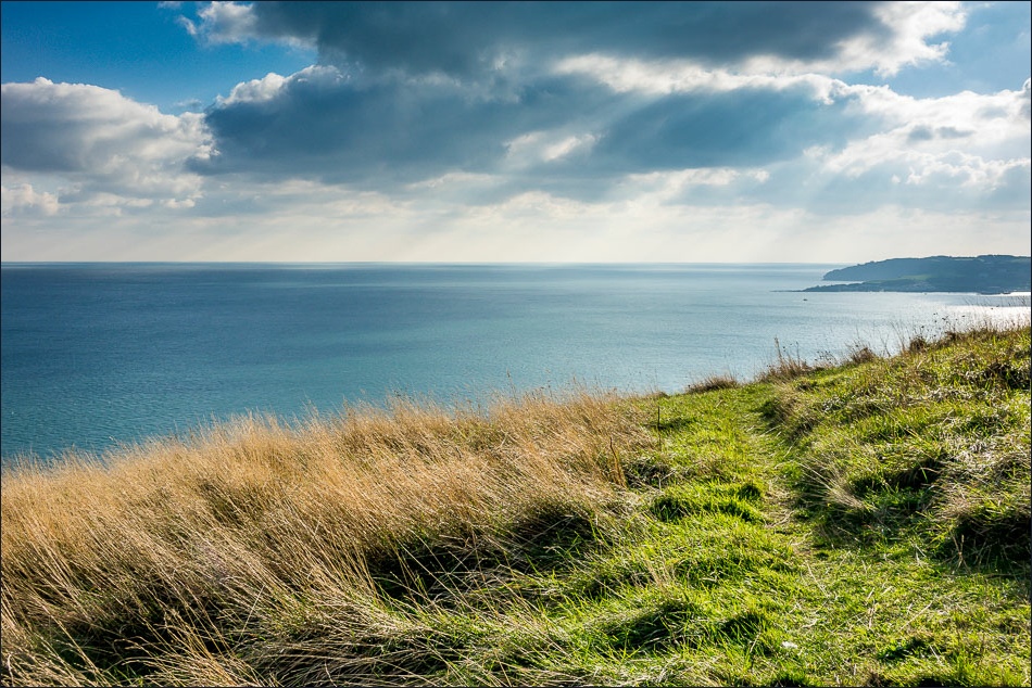
Walking east along the cliff top
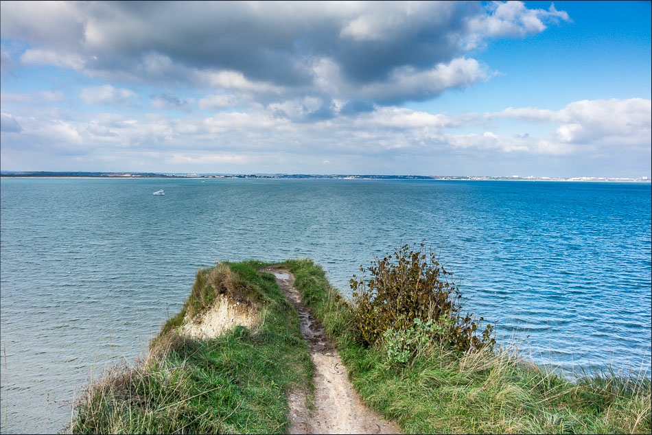
With sheer drops on three sides, I didn’t venture out to the end of this outcrop

Approaching Old Harry rocks
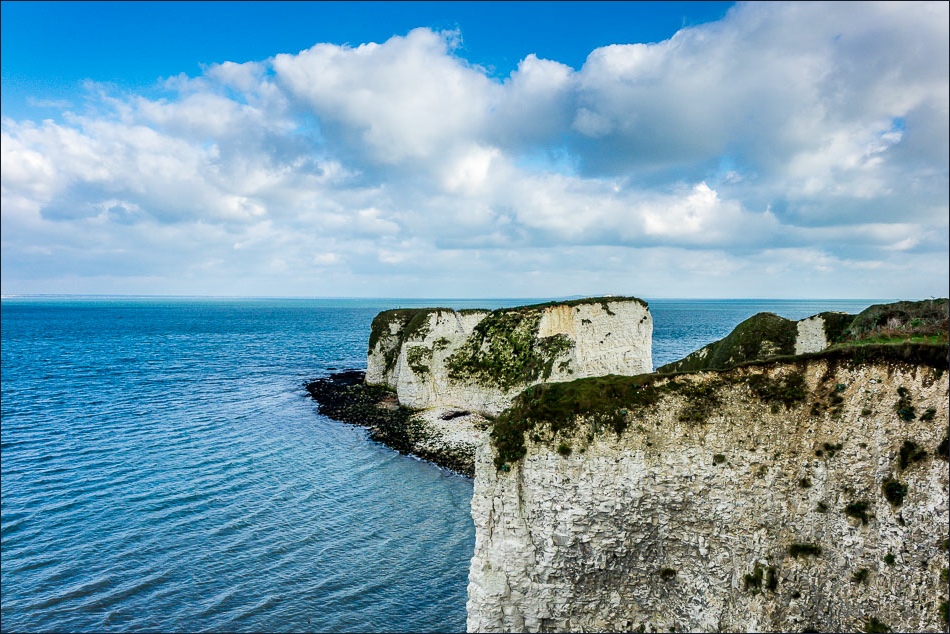
Old Harry
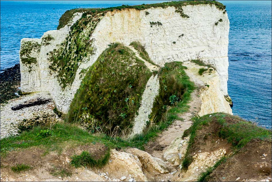
There’s a well trodden path along this narrow neck of the cliff face, but it’s not going to be trodden by me
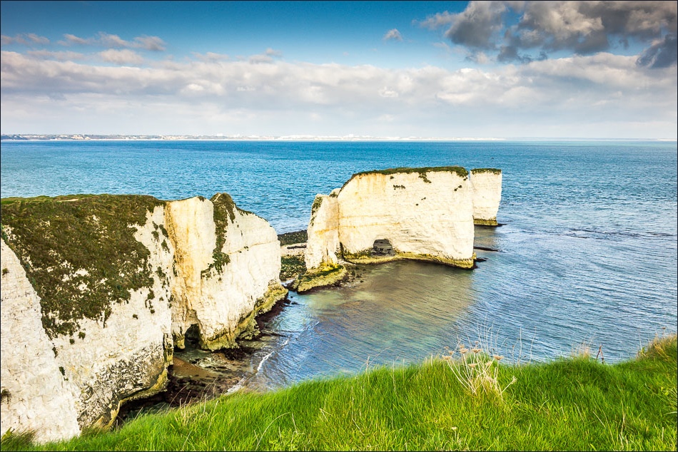
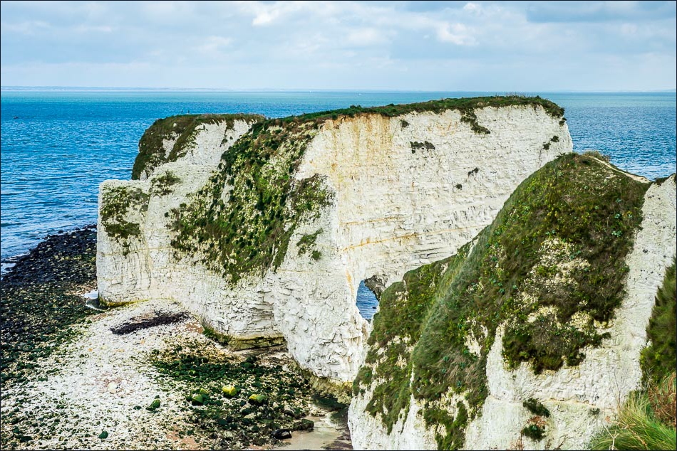
Looking back to Old Harry as I walk above The Pinnacles

Looking back to the Isle of Wight in the distance

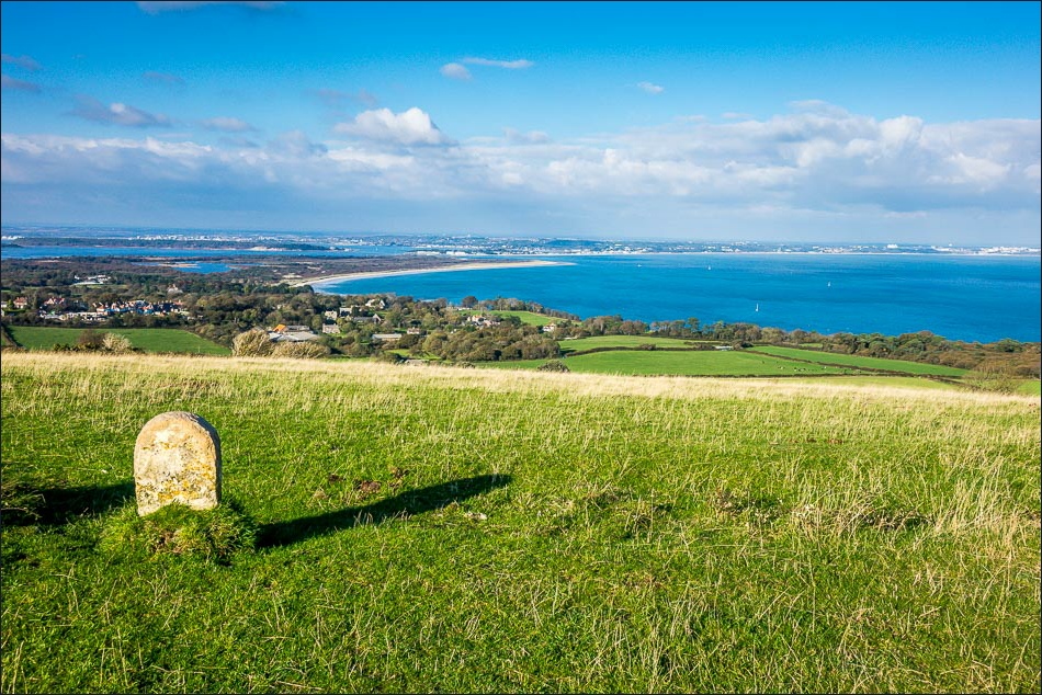
OS trig point on the Purbeck Way

The views from Ballard Down were wonderful - this is looking back to Studland Bay
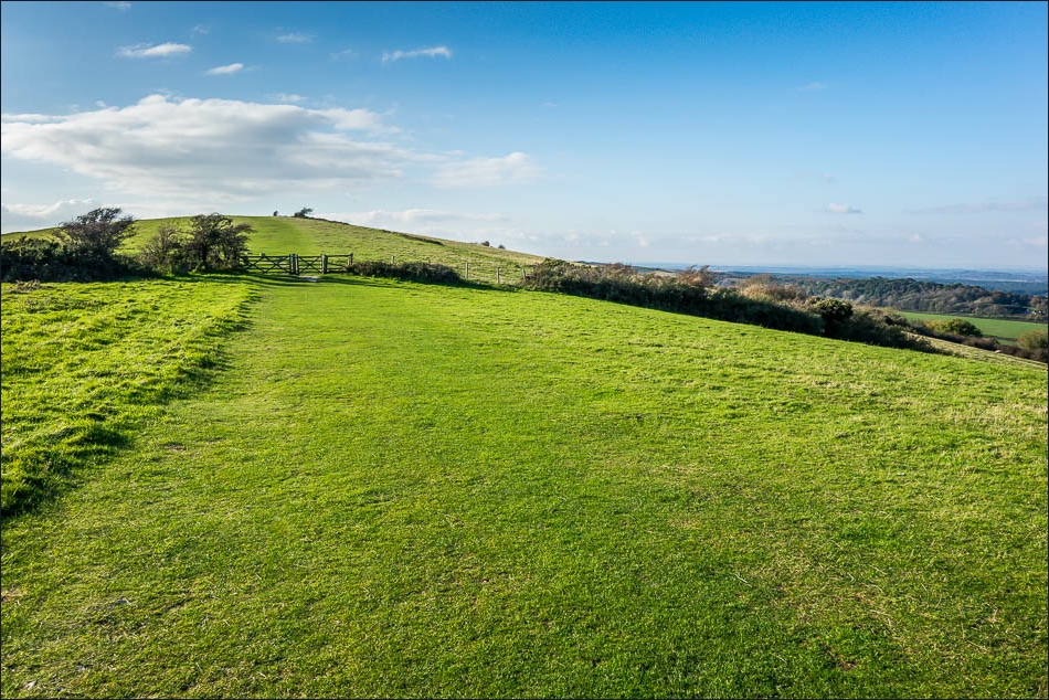
Ballard Down
Looking back along Ballard Down

Swanage Bay and Swanage

Studland Heath

Swanage again
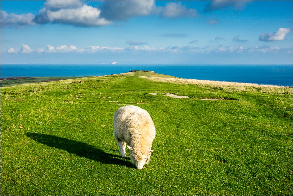
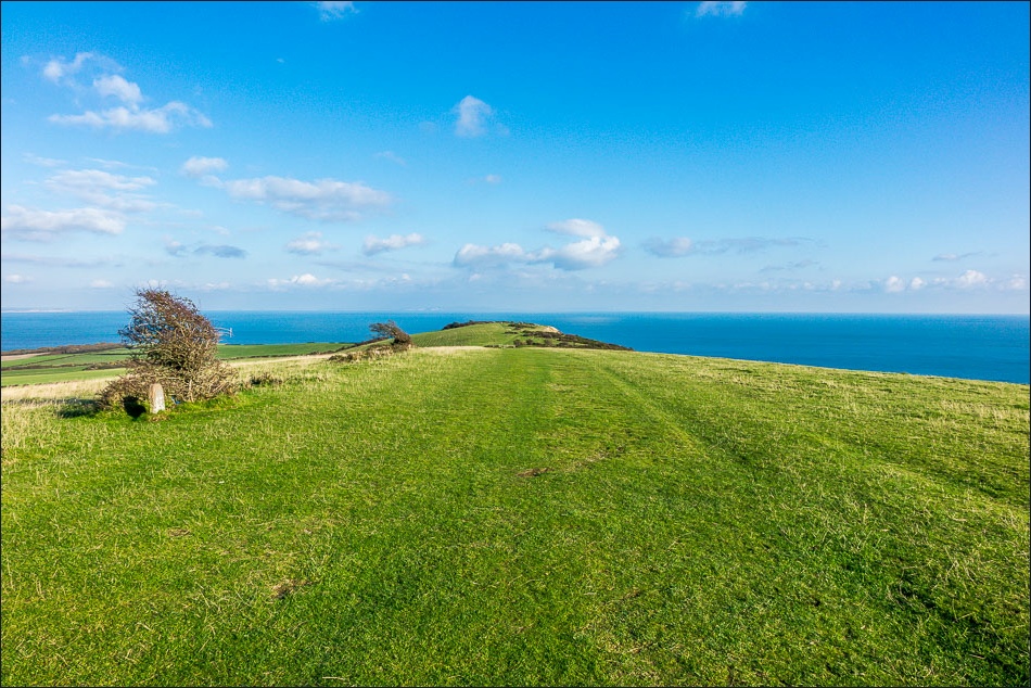
Another view back along Ballard Down

Godlingston Hill

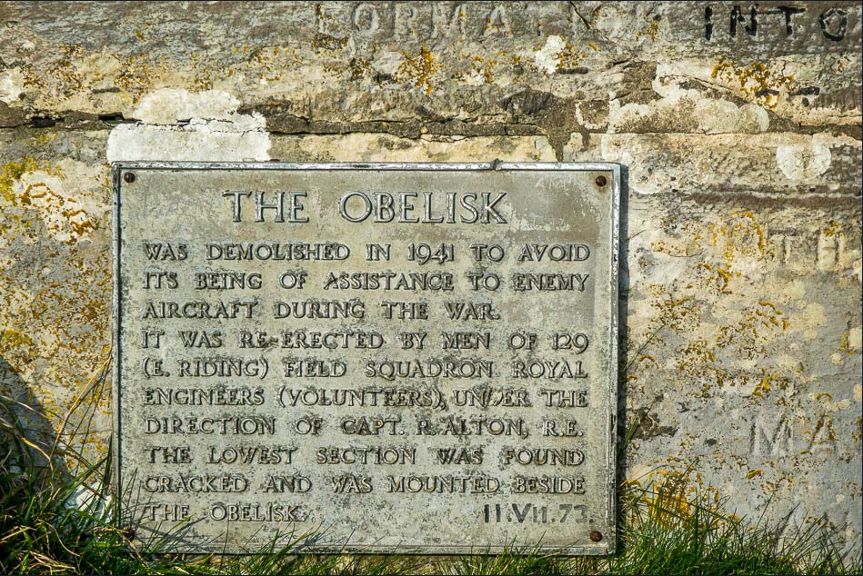
The Obelisk, looking towards Swanage
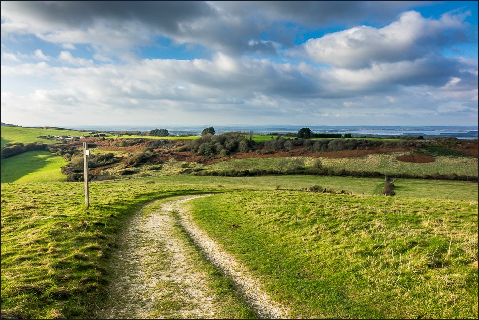
Descending from Ballard Down

After a very short road section, I climb Dean Hill

A public footpath crosses the Isle of Purbeck golf course

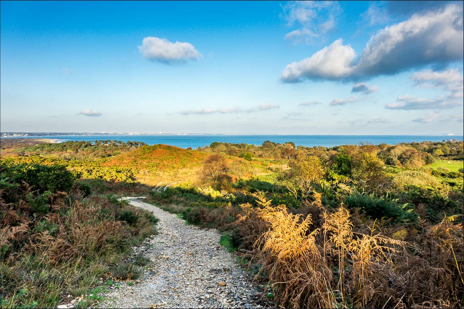
Godlingston Heath, a National Trust Nature Reserve

Heading along the heath back to Studland

Back in Studland and a last view across to Old Harry rocks
Follow the link for more walks in Dorset (9)
