
Route: Sour Howes and Sallows
Area: Far Eastern Lake District
Date of walk: 22nd May 2013
Walkers: Andrew
Distance: 5.5 miles
Ascent: 1,300 feet
These two fells are in the far south east of the Lake District, and their remote location means that the route will never be crowded. I didn’t pass another walker during the entire journey
I parked at Church Bridge near Troutbeck and after a short distance joined the track known as Garburn Road. This provides a gentle ascent. After about 2 miles I left the track to turn uphill to Sallows
I then went along Moor Head to Sour Howes. There were lovely views of Windermere from the top
There followed an easy descent back to the Garburn Road, from where I retraced my steps back to Church Bridge
Click on the icon below for the route map (subscribers to OS Maps can view detailed maps of the route, visualise it in aerial 3D, and download the GPX file. Non-subscribers will see a base map)

Scroll down – or click on any photo to enlarge it and you can then view as a slideshow
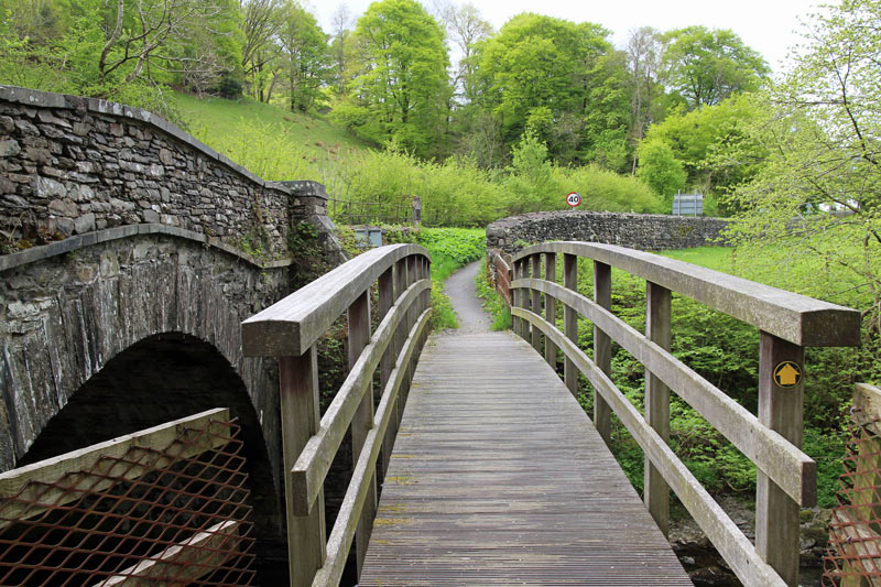
Church Bridge, just after I’d parked the car

On the track known as Garburn Road, looking back to Troutbeck
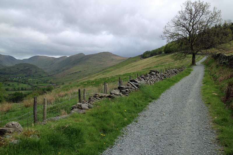
The track goes up at an easy gradient for two miles or so

Troutbeck Tongue at the end of the valley

Looking back to Trouotbeck, and a first glimpse of Windermere

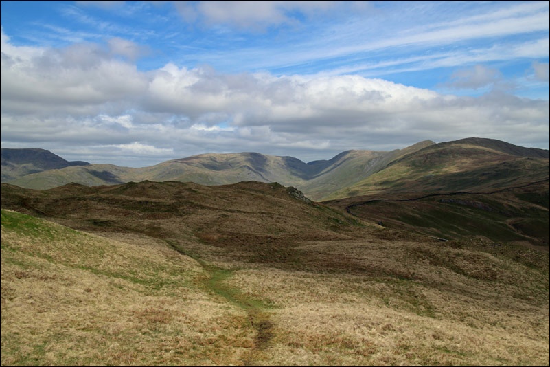
Looking back to the Garburn Road, having left it to climb up the fellside to Sallows

Sallows summit, looking towards Windermere and Sour Howes, my next target

Sour Howes ahead

Windermere from Sour Howes

Looking back to the Kentmere Fells

Windermere again, on the way down from Sour Howes

Troutbeck below - I’m about to join the Garburn Road track again

Troutbeck

Back to the start - Jesus Church Troutbeck
