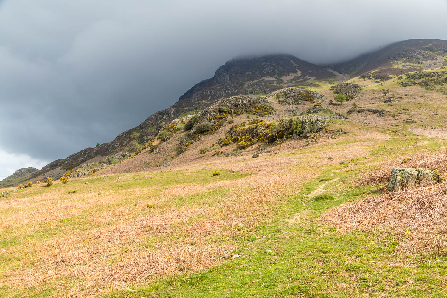
Route: Rannerdale
Area: Western Lake District
Date of walk: 7th May 2024
Walkers: Andrew and Gilly
Distance: 2.5 miles
Ascent: 250 feet
Weather: Cloudy with a few bright spells
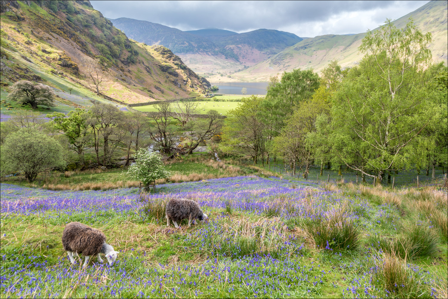
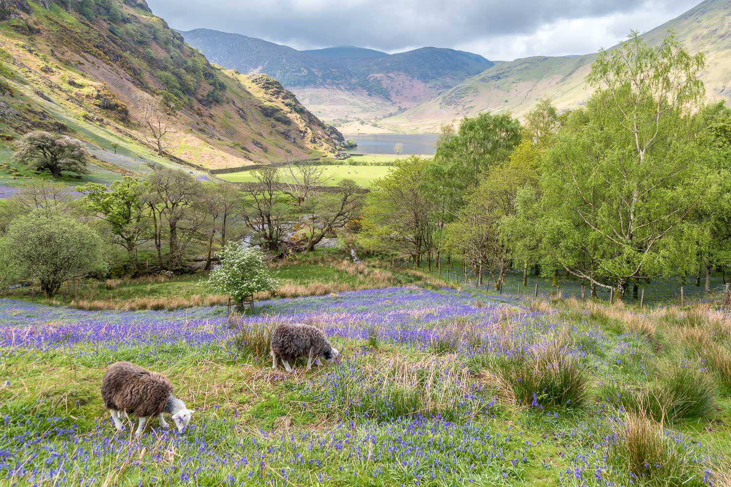
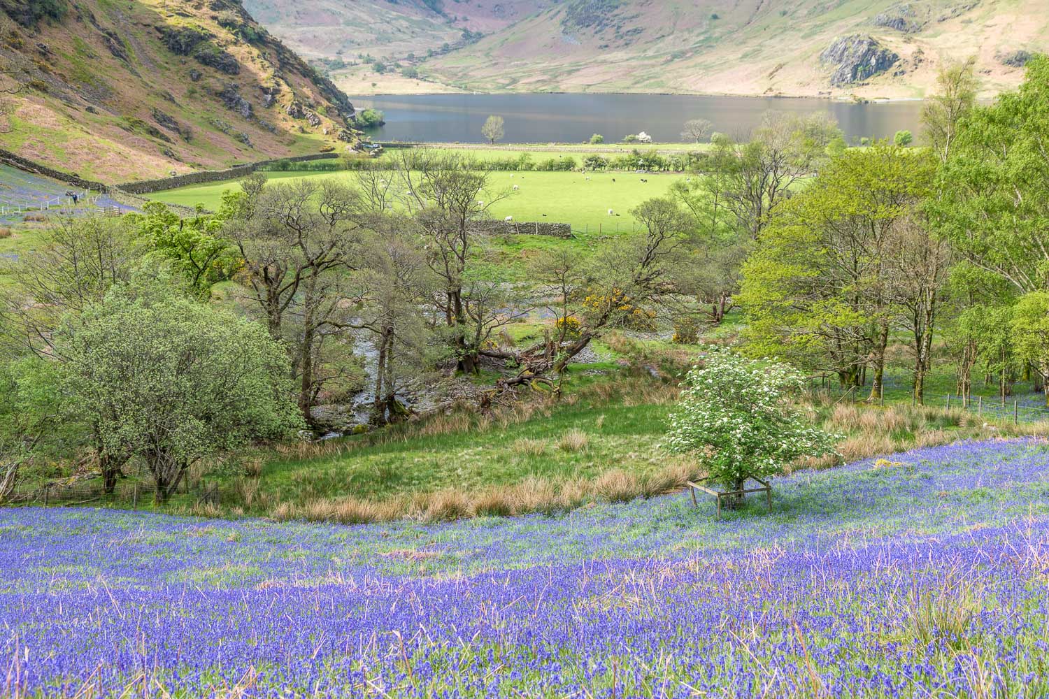
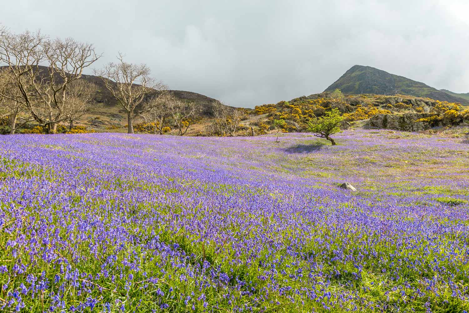
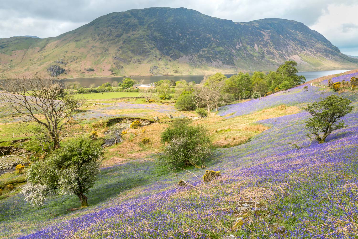
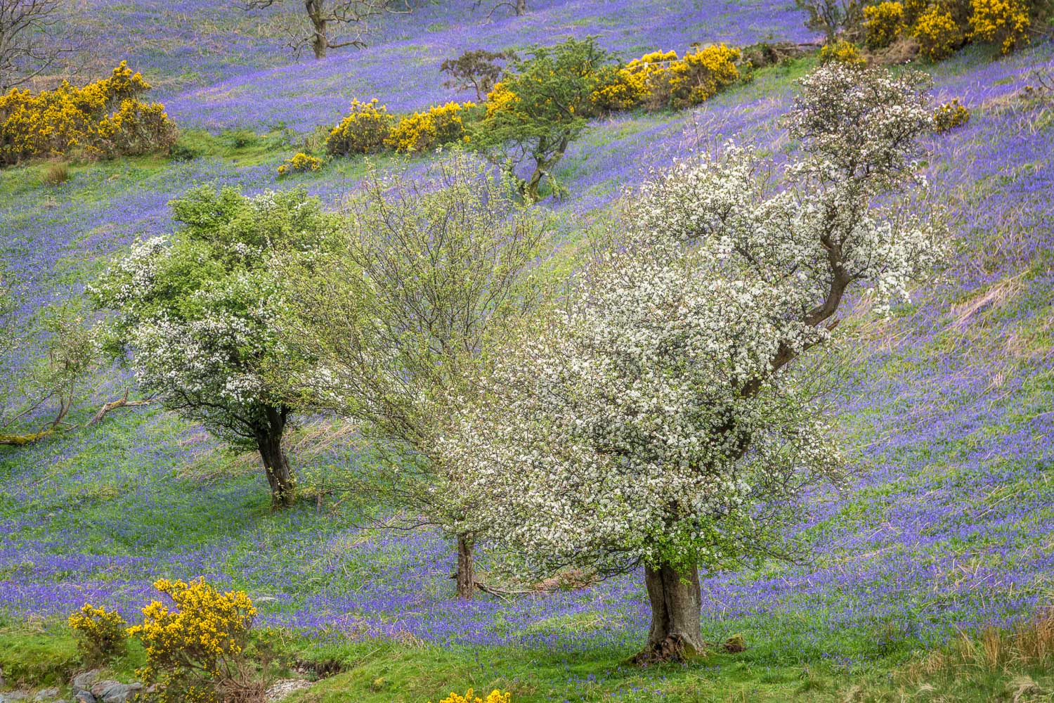
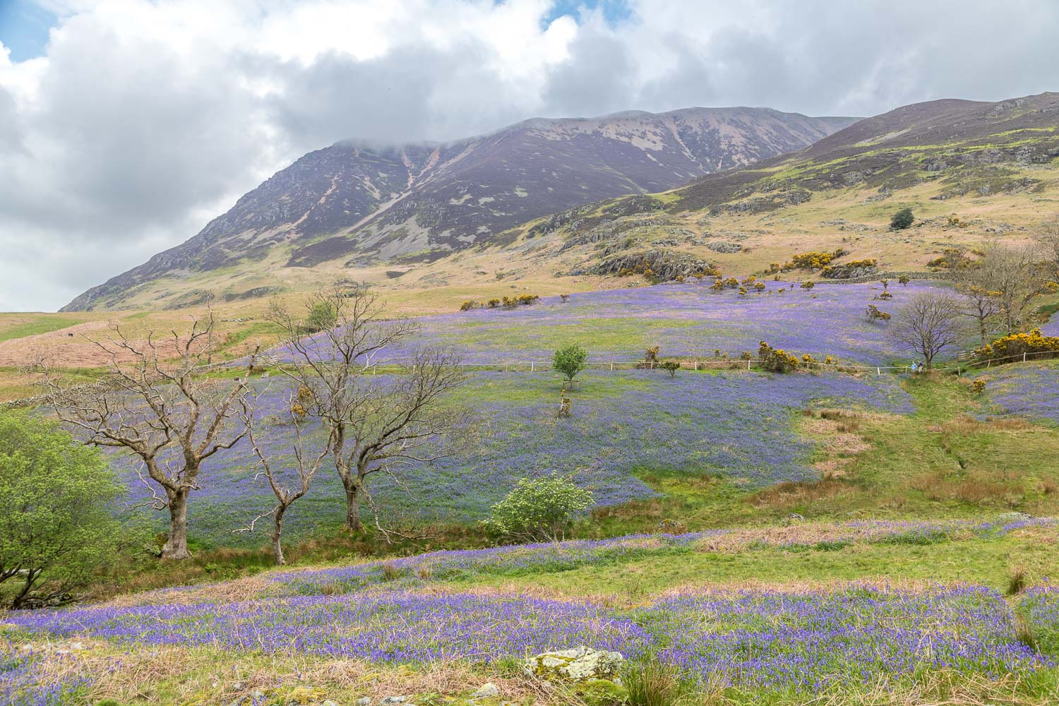
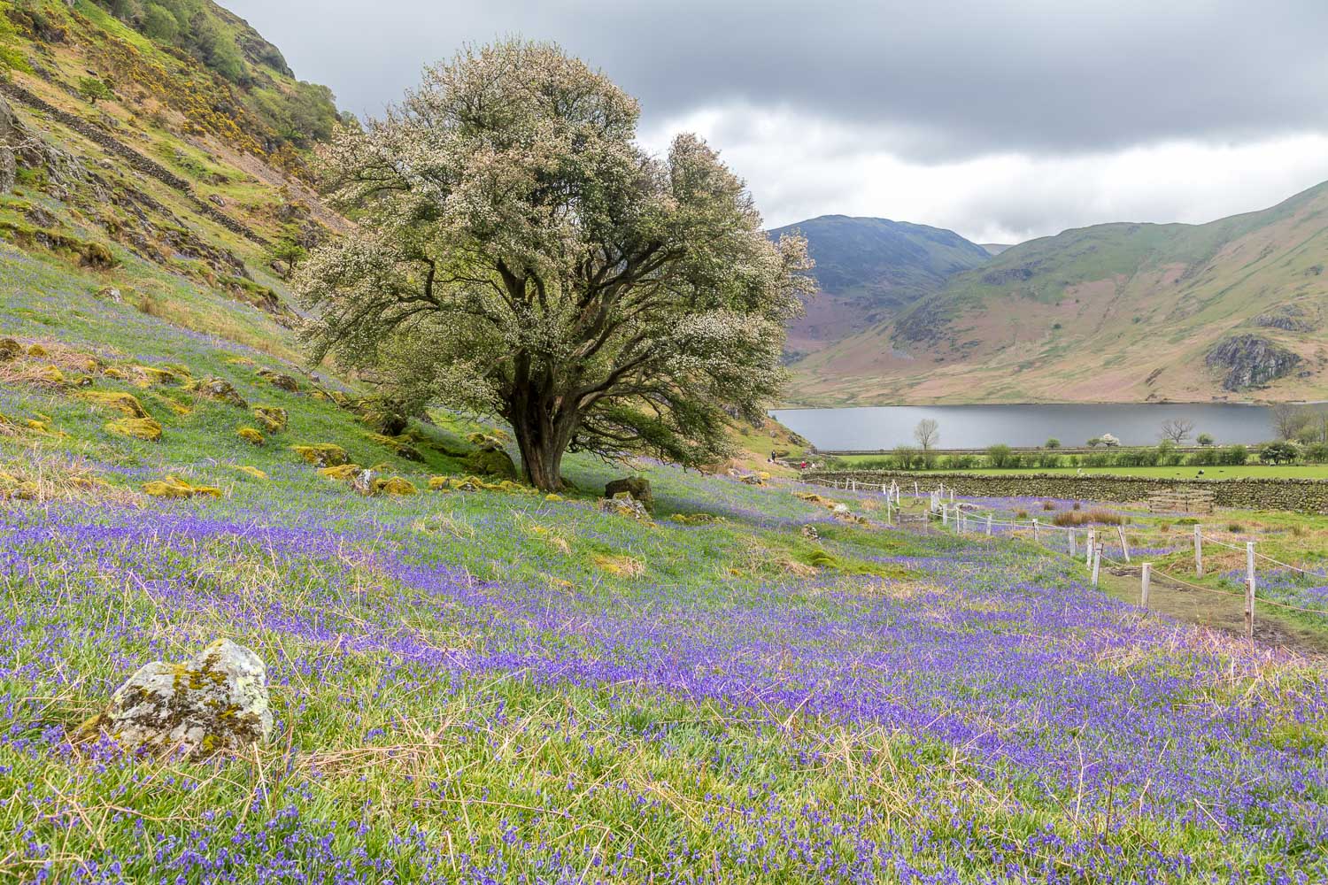
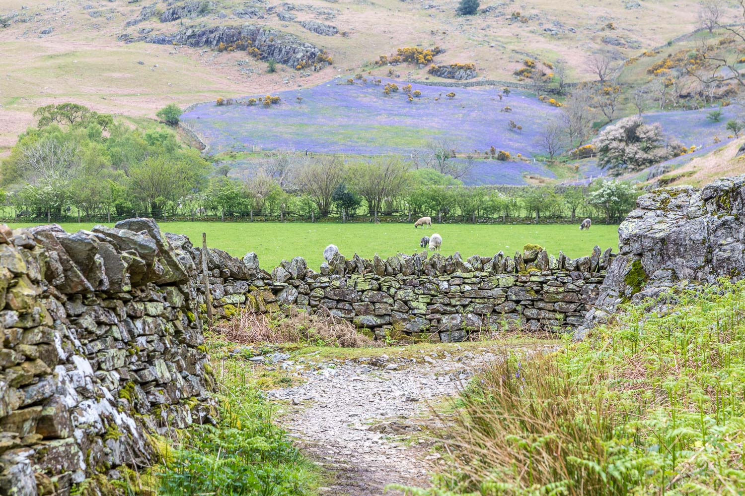
Mid-May is the perfect time to enjoy the annual spectacle of the Rannerdale bluebells. They are very unusual in that they grow on open fellside instead of their usual woodland habitat, and they tend to flower a little later than their woodland cousins
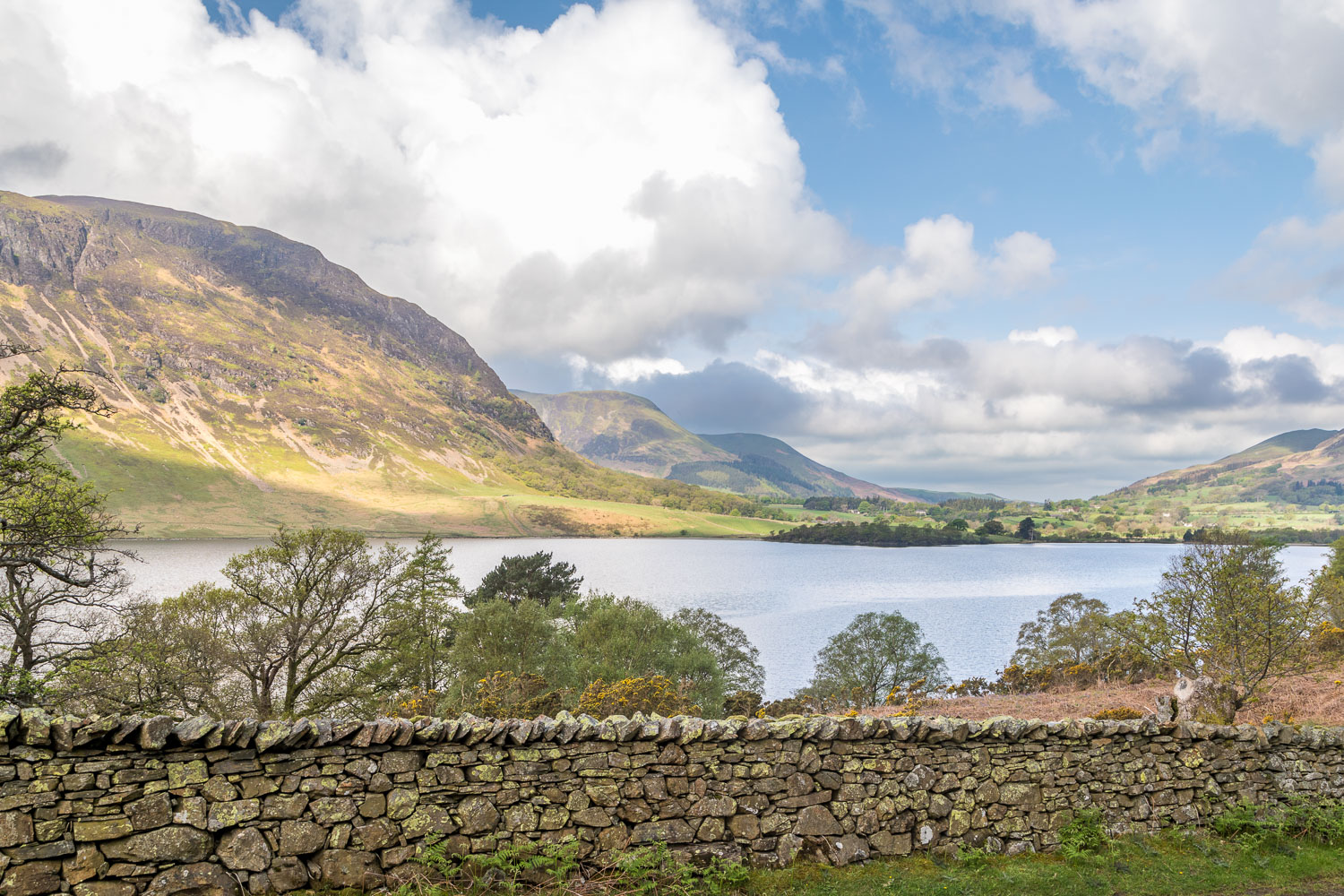
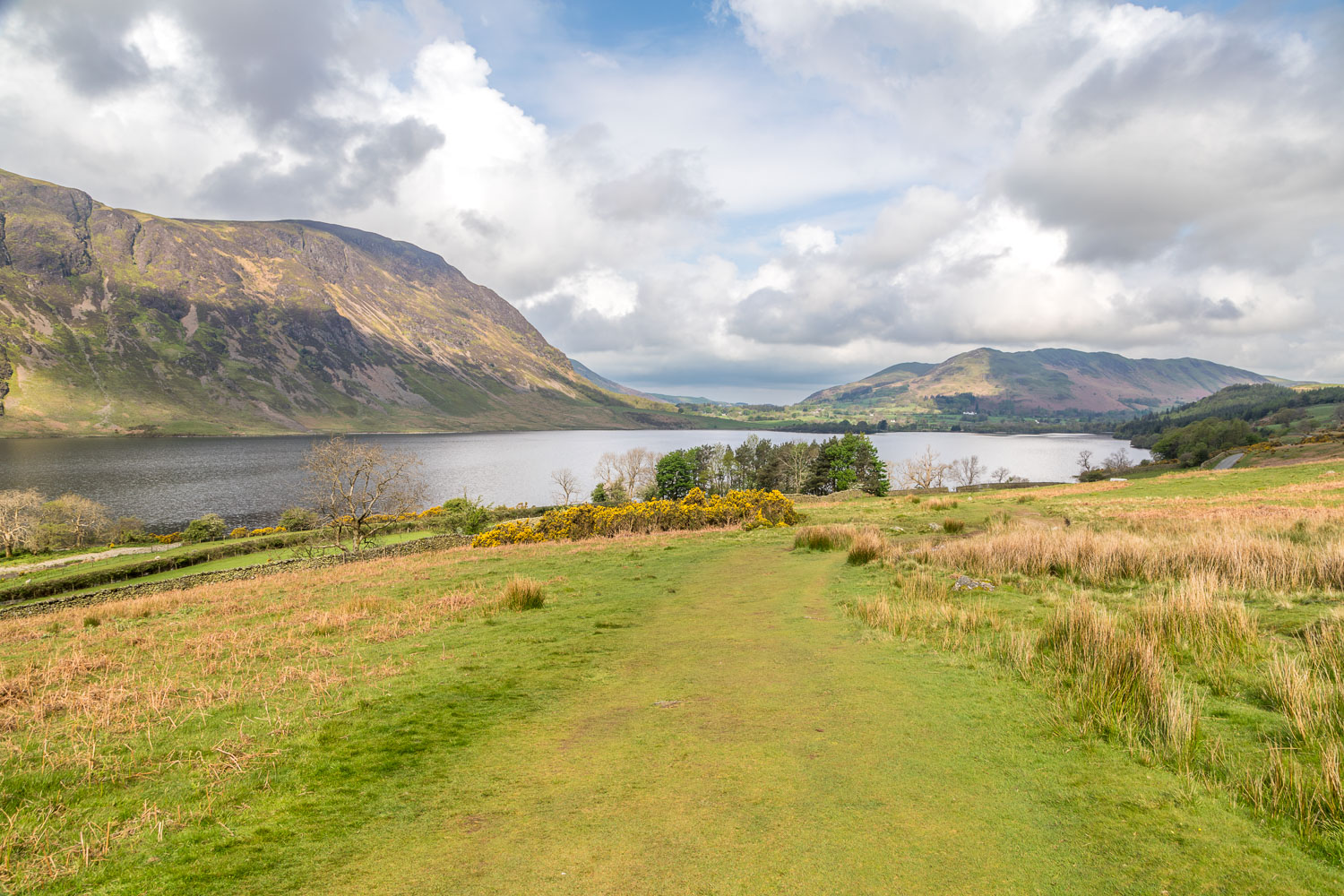
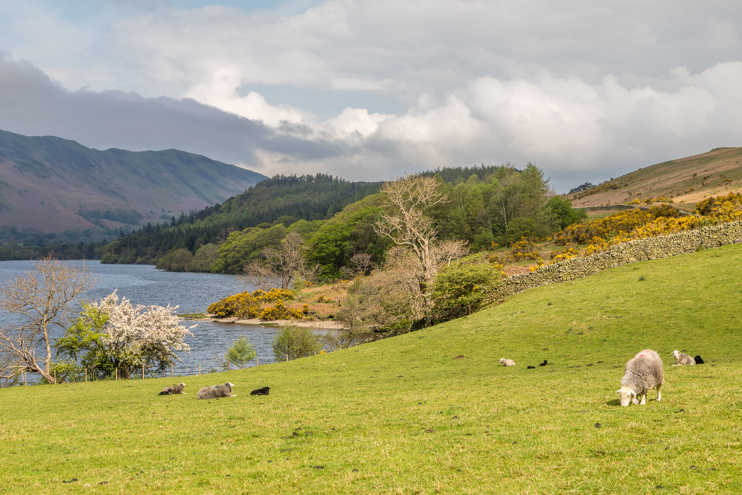
This is a very popular place in season and the usual parking spaces at Cinderdale Common were full, so we parked a little further away in a layby near Crummock Water. We followed a path with the Buttermere road on our right and the lower slopes of Grasmoor on our right. Before long we entered into the bluebell area and were greeted by the wonderful sight – and scent – of huge swathes of these lovely flowers
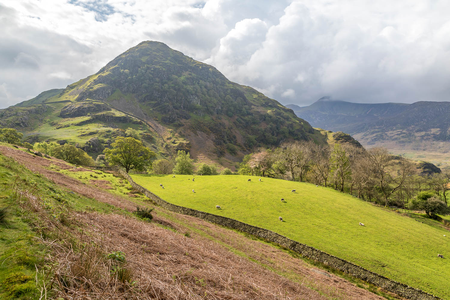
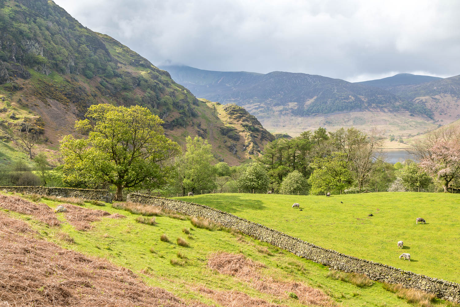
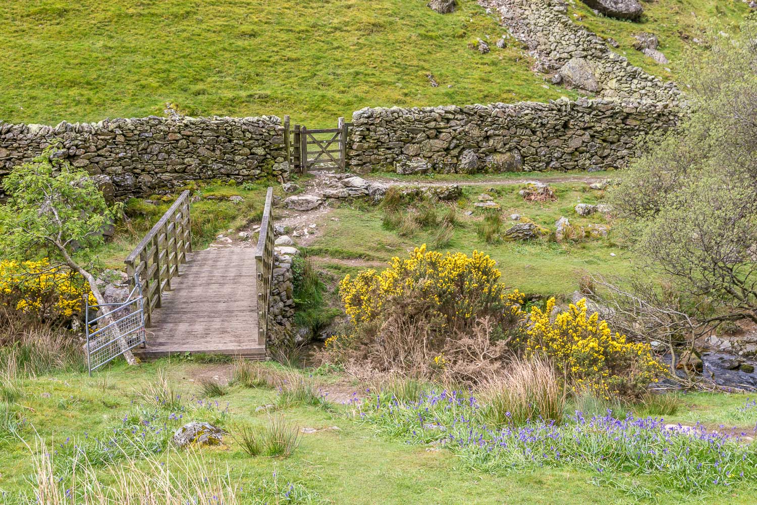
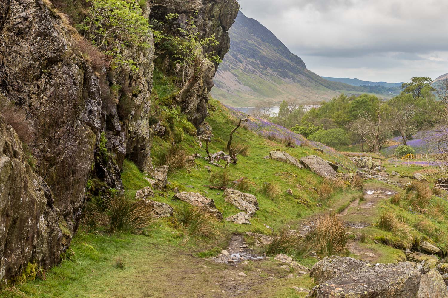
After admiring the display for a while we continued up the valley for a short distance and then crossed the footbridge over Squat Beck. We followed a path below the crags of Rannerdale Knotts, enjoying more displays of bluebells, which were peaking.
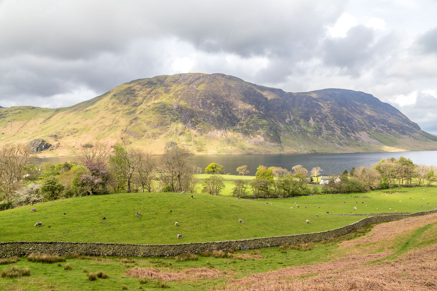
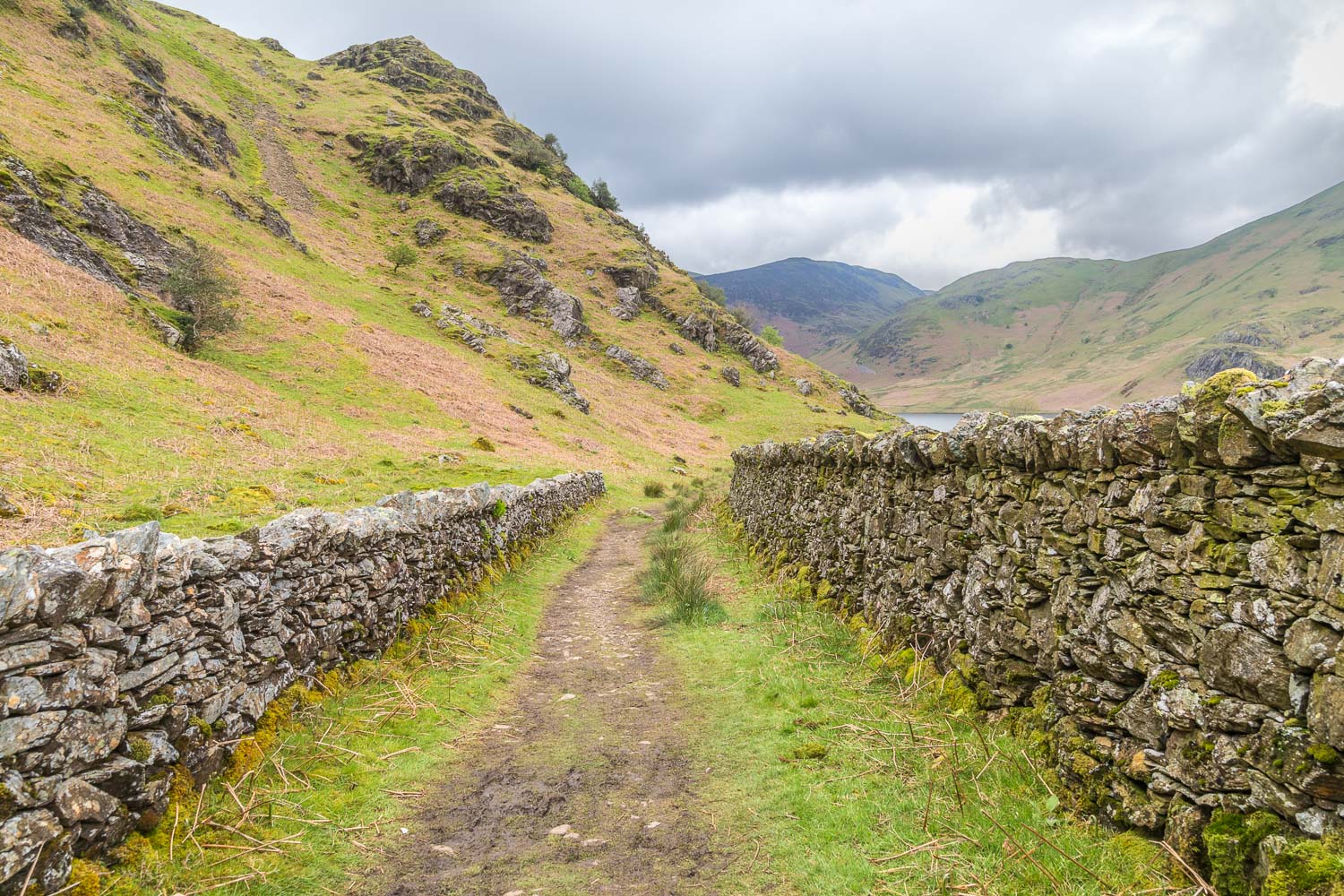
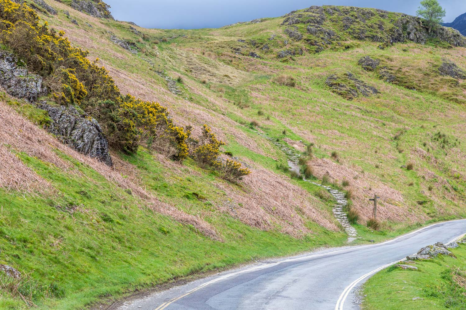
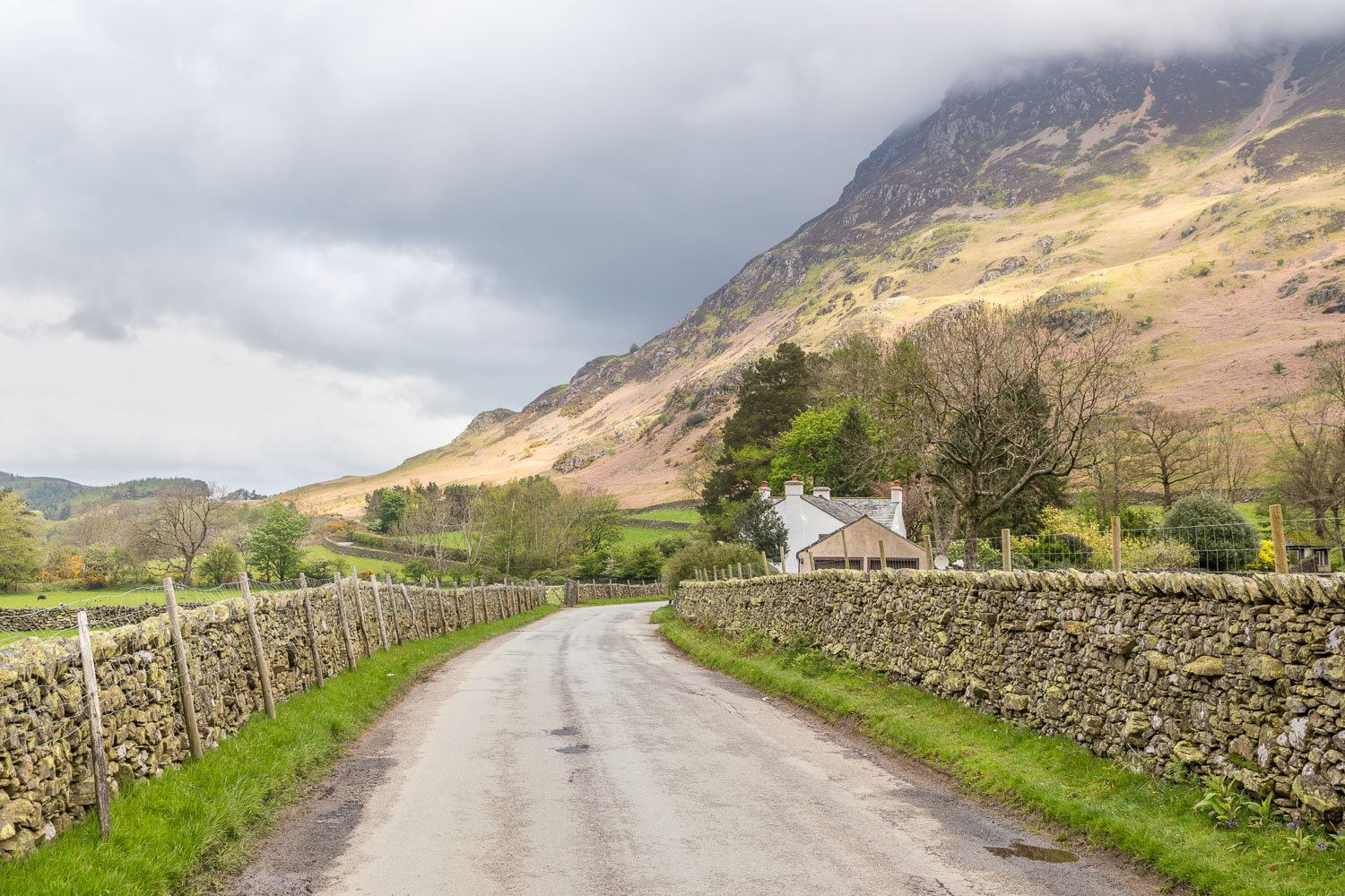
We arrived at the Buttermere road and followed it for a while before rejoining our original path and taking a slighly more elevated route back to the start
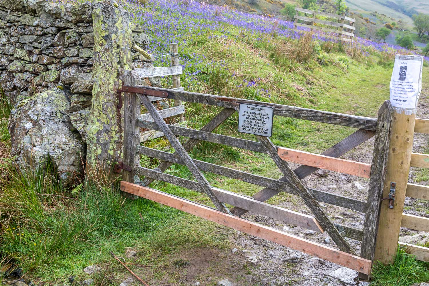
IMPORTANT NOTE: I’ve been asked by the National Trust (North Lakes) to add this message to my post, and I do so willingly in order to try and help safeguard this wonderful display:
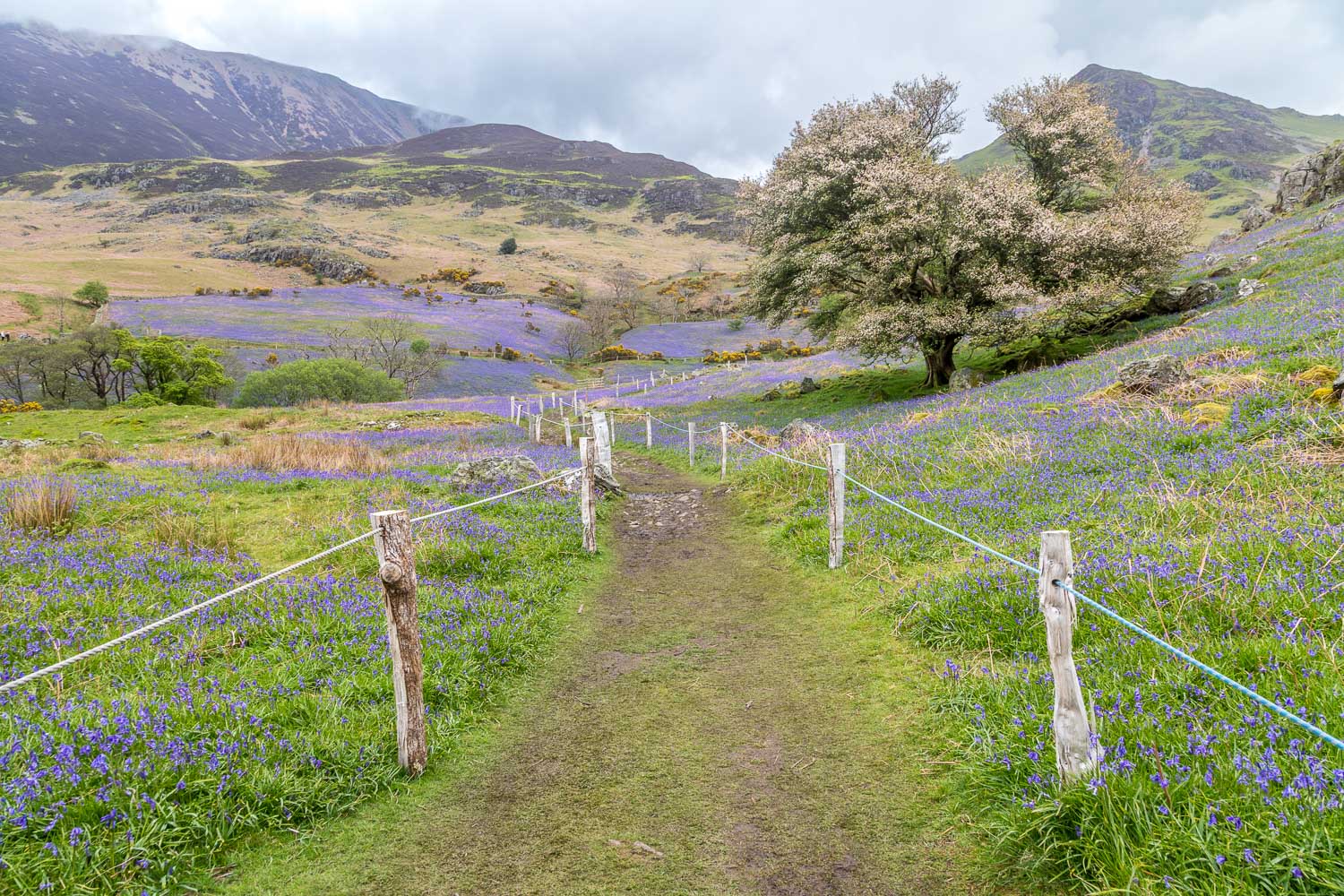
“Rannerdale’s bluebells are renowned as a natural wonder, beloved of visitors and photographers; however, they are being ‘loved to death’. Once the plants are damaged by trampling they can’t photosynthesise enough energy and it can take them years to recover. Over the last 5 years, nearly 25% of the bluebells have been lost. To save the bluebells, and access to them, the National Trust are asking visitors to fight the urge to get in amongst the flowers and just simply stick to the path. Only by protecting them today can we ensure everyone has a chance to enjoy this special spring display in the future.”
Could I please ask anyone following this walk to comply with the message. Please also note that dogs must be kept on a lead
For other walks here, visit my Find Walks page and enter the name in the ‘Search site’ box
Click on the icon below for the route map (subscribers to OS Maps can view detailed maps of the route, visualise it in aerial 3D, and download the GPX file. Non-subscribers will see a base map)
Scroll down – or click on any photo to enlarge it and you can then view as a slideshow
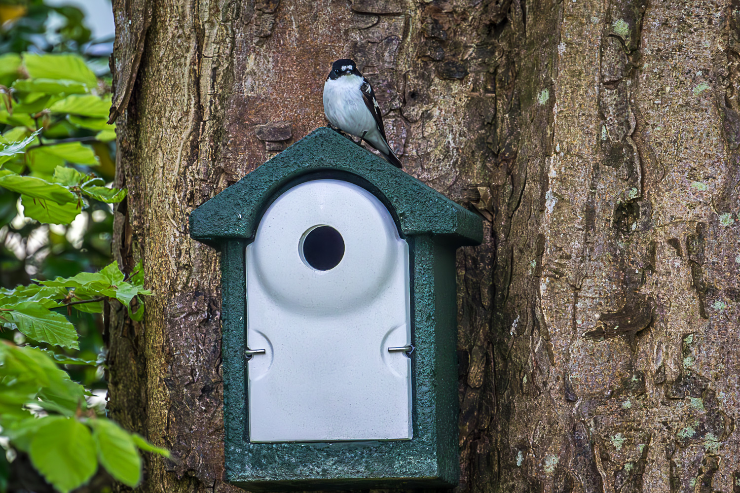
The day before the walk, a pied flycatcher checking out one of our new nestboxes. These birds are Red Listed due to recent declines in breeding populations and range

For several years now, the path has been roped off to prevent trampling, which ruins the display as the bulbs can't photosynthesise enough energy to recover

We approach the far point of the walk, and the return will take us back below the rocks at the foot of Rannerdale Knotts
