
Route: Muottas da Puntraschigna
Area: Eastern Swiss Alps
Date of walk: 30th June 2014
Walkers: Andrew and Gilly
Distance: 4.0 miles
Weather: sunny with some cloud cover
Having finished our glacier walk by mid morning – click here for details – we decided we had plenty of time for another walk. As it was the last day of our holiday, we thought it would be appropriate to visit the local Pontresina mountains ‘Muottas da Puntraschigna’. We can clearly see the foothills from the balcony of our hotel room, though we had no idea whether it would be an easy climb or not. It’s shown on the map as a hiking route so we didn’t anticipate any problems
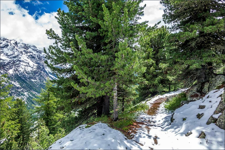
Having stepped off the train at the end of our earlier walk, we started this one directly from the station at Surovas and we soon climbing up quite steeply through the pine forest. There was plenty of snow still lying on the ground but it was melting very quickly and didn’t cause us any issues, though we had to take care
It took us about 1 hour 20 minutes to reach ‘the top’ where a signpost announces the Muottas da Puntraschigna. Although it’s the top of the hiking route, it’s not the top of the mountains themselves – the climb up there is beyond the reach of ordinary pedestrians like us
The descent path was quite steep in places but there were no problems and the ingenious route somehow managed to avoid the towering cliffs bringing us down safely back to the start. That made two great walks in one day, but there was still time for another excursion – read on……
Click on the icon below for the route map
![]()
Scroll down – or click on any photo to enlarge it and you can then view as a slideshow

The start of the walk near Surovas Station
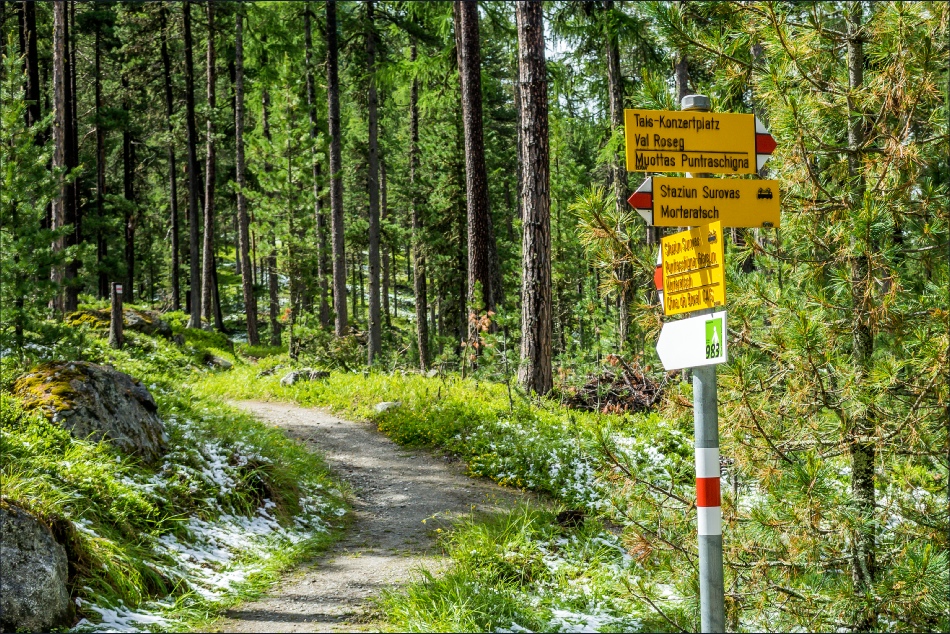
The usual helpful signage and waymarking get us on our way

Not the best photo but it’s the first time I’ve seen a Spotted Nutcracker

Black Squirrel

We head steadily uphill through the forest

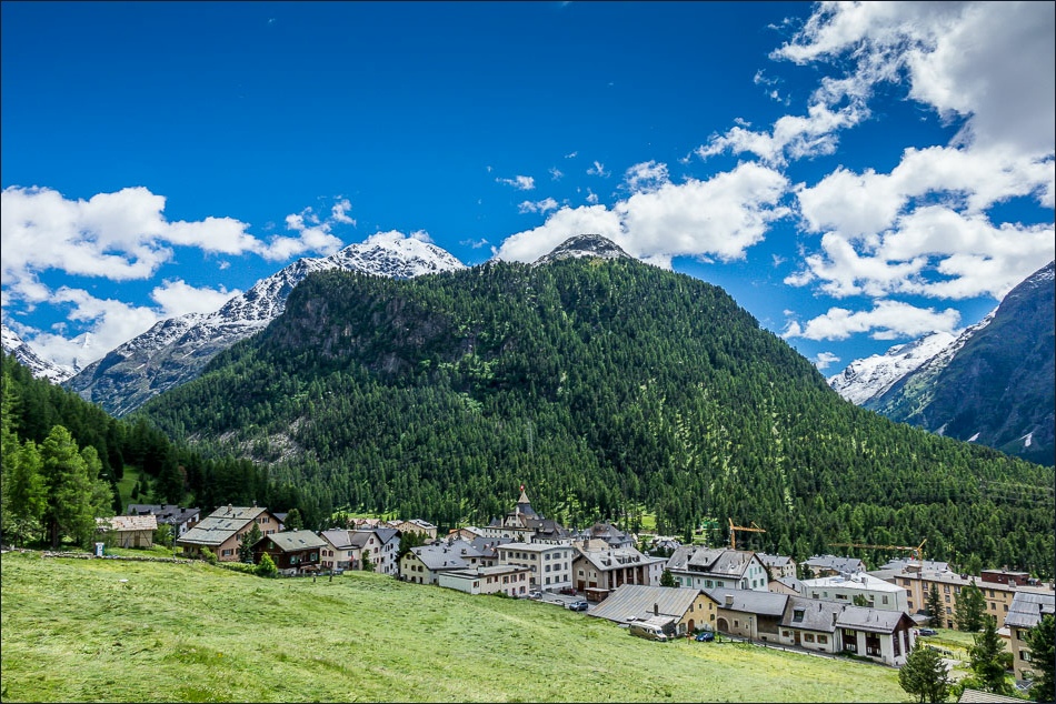
As we gain height, Pontresina comes into view

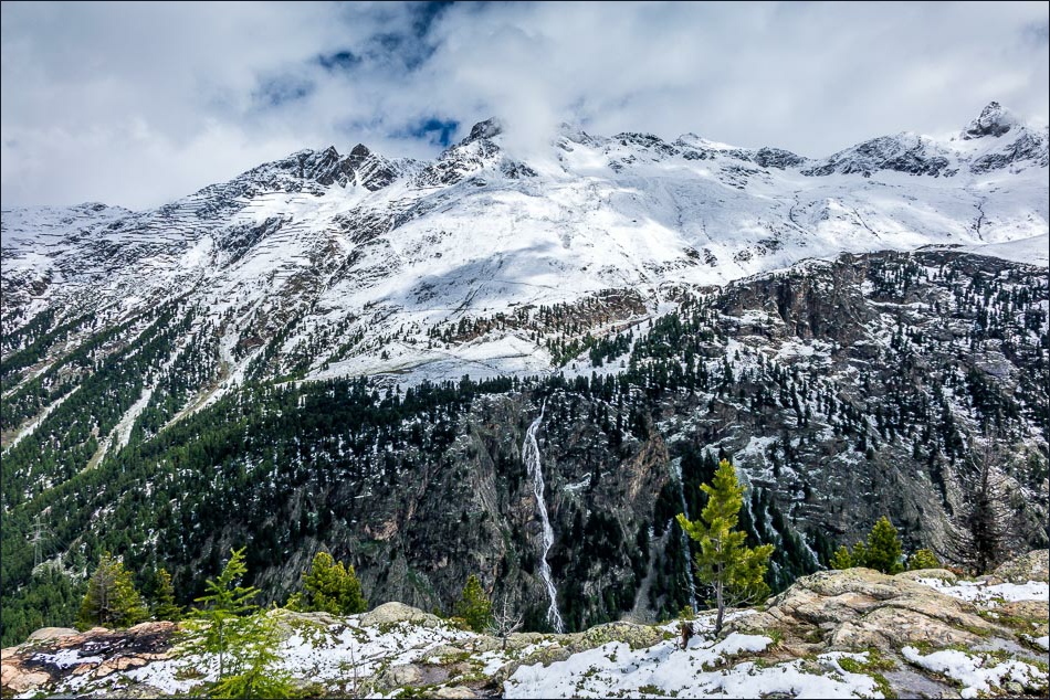
Waterfall across the valley

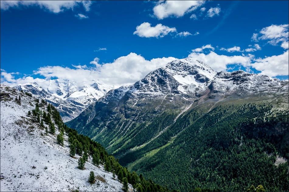
Looking across the valley towards Piz Muragl

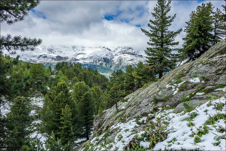
Val Bernina

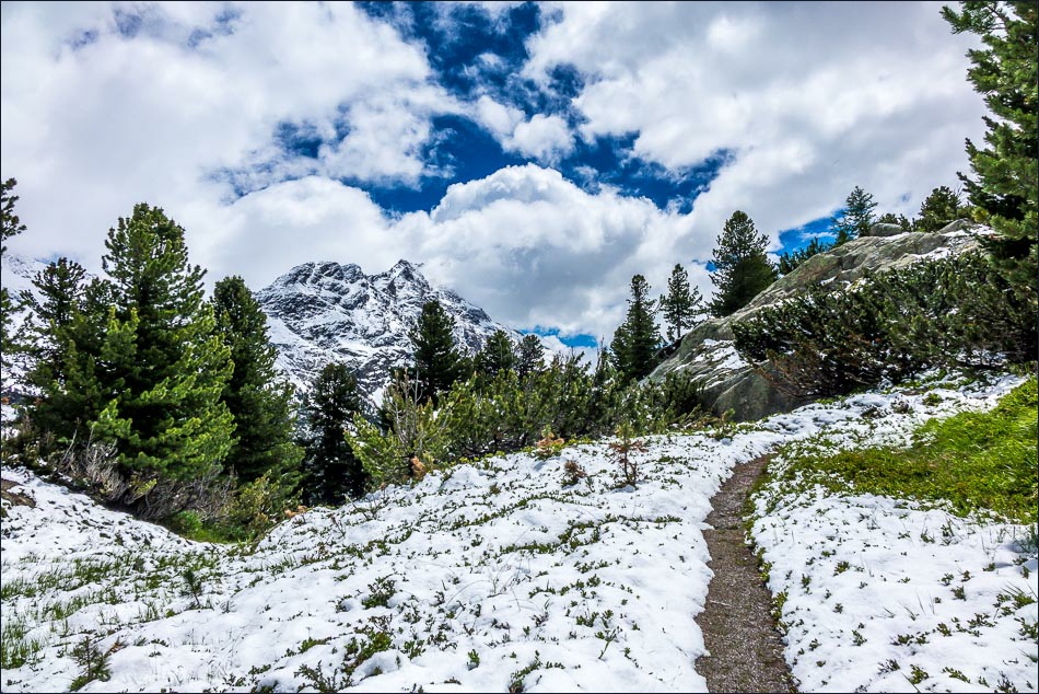
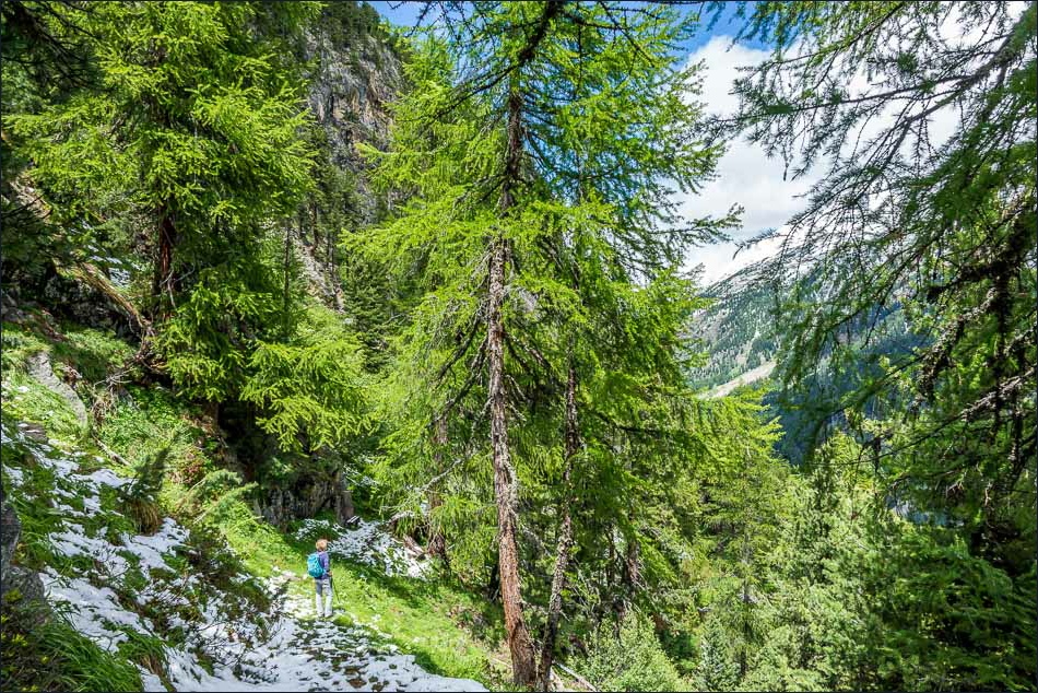
This is as high up the mountain as the hiking route goes - a good thing as there’s still plenty of snow after last night and crampons might be needed further up
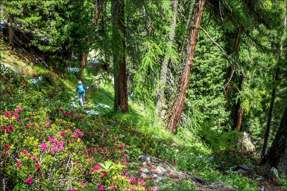
On the way back down to the valley

Another great view along Val Bernina

A Fritillary (Pearl-bordered if my research is right - if anyone knows for sure please let me know)
Almost back to the start

Back at the hotel, we have a beer on the terrace and gaze up to scene of our final walk of this short break
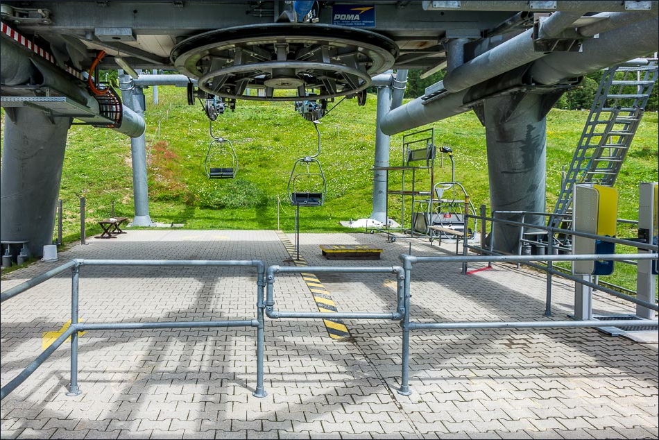
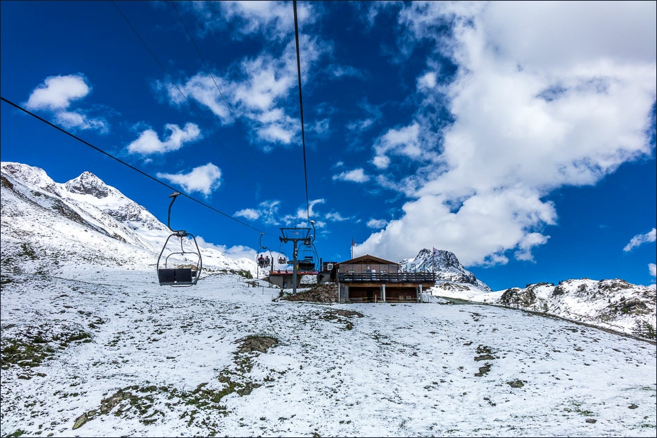
The day is not yet done and we decide to take the ski lift up to Alp Languard, where we’d walked on our first day here
A view from the ski lift back to the Muottas da Puntraschigna, where we’d been earlier
Alp Languard
Piz Chalchagn

Piz Chalchagn again on the left (the top of our earlier walk was the tree line, and we’d then descended below the cliffs in the centre of the picture)

On the way back down to the base

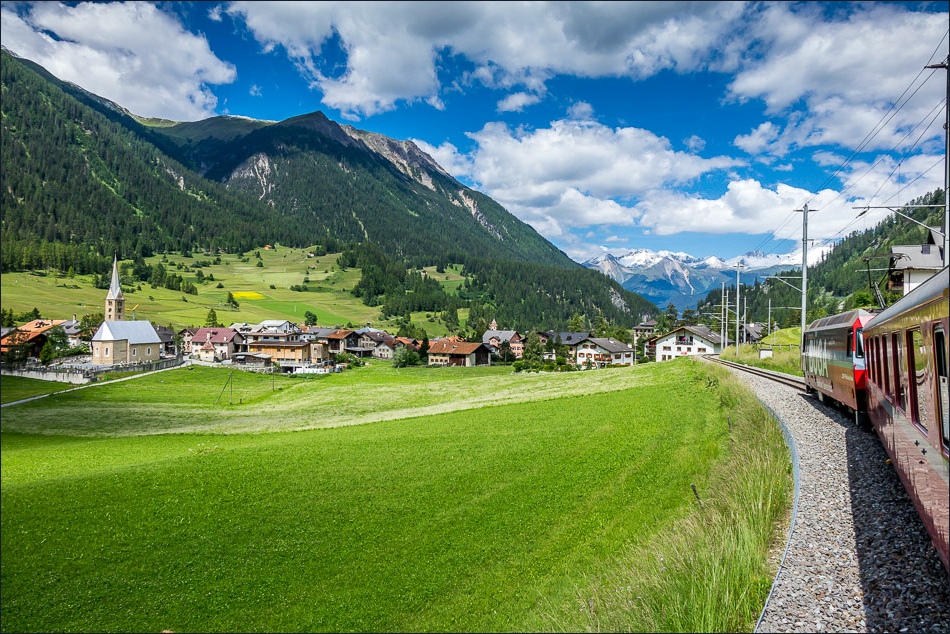
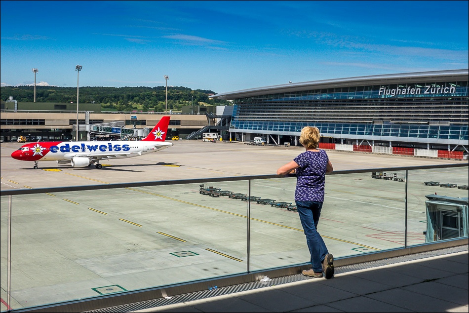
The next day it was time to go home and we said a fond farewell to Pontresina as we left the station to travel to Zurich. We hope to return soon

What a journey it was……

The double decker train which took us on the last leg to Zurich
What a wonderful holiday we’d had!
Follow the link for more walks in Switzerland (38)
