A guest entry by son James
Route: Marvel Lake to Lake Magog
Area: Mount Assiniboine Provincial Park, British Columbia, Canada
Date of walk: 14th August 2024
Walkers: James and Anna
Distance: 10.0 miles (16.1km)
Ascent: 2,400 feet (718m)
Weather: Mixed
Day two of our four-day trip to Mount Assiniboine took us from the Marvel Lake campground in Alberta, west along the length of the lake before crossing north over Wonder Pass. The alternative route from Marvel Lake takes walkers north alongside the outskirts of a grizzly bear habitat, where groups of a minimum of four people, maximum three metres from each other, and must by law carry bear spray. Both routes meet at Mount Assiniboine Provincial Park in British Columbia, where hikers get their first glimpse of Mount Assiniboine itself. The highlight of the day should have been the mountain views, but as things turned out we would have some other excitement on the way…
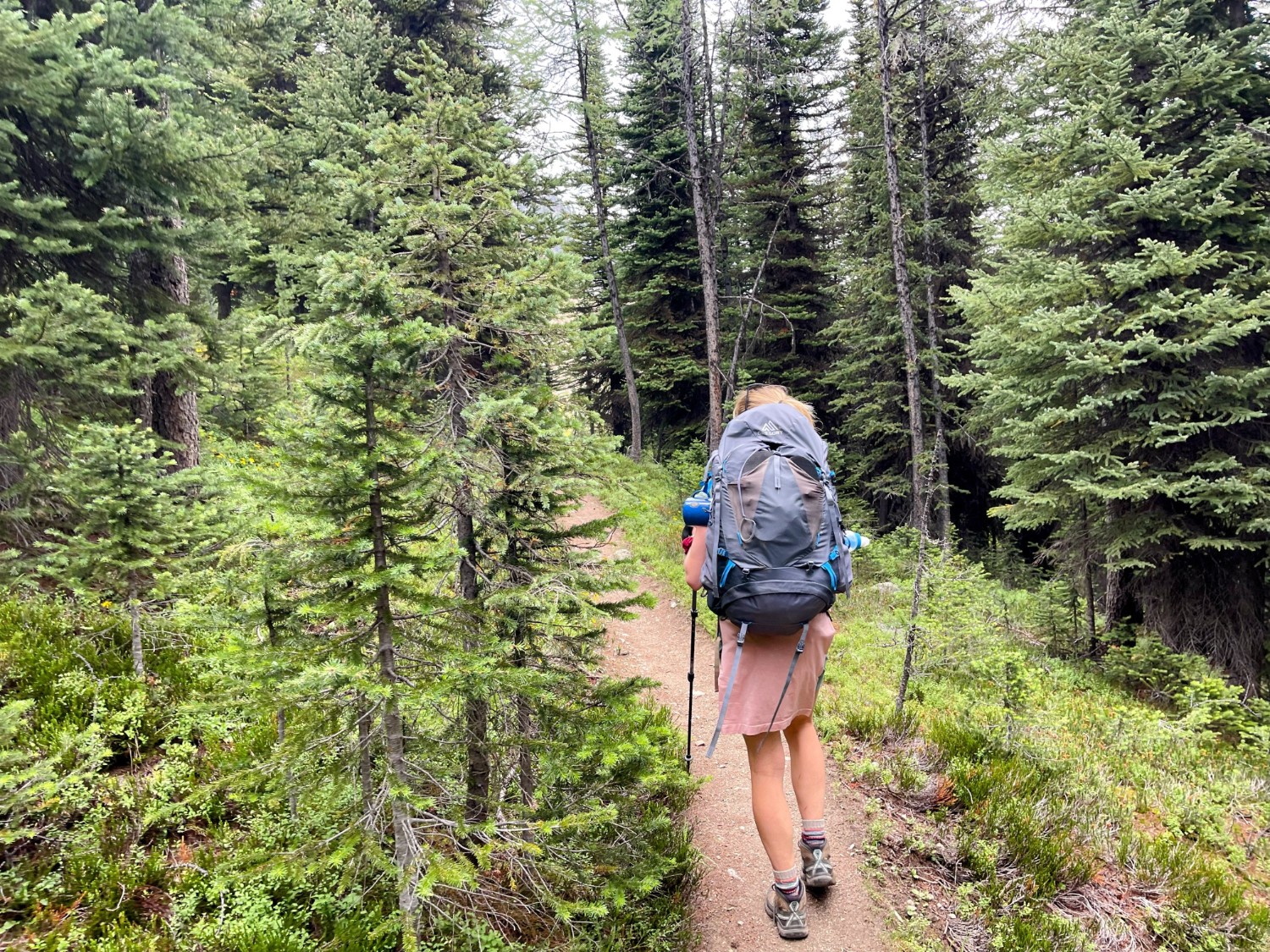
After seeing a cougar yesterday close to the very trail we would be taking today, and having more bearanoia than the average Canadian, we took the ‘safer’ route via Wonder Pass. However, shortly before lunchtime whilst hiking up the forested side of Wonder Pass, a group travelling the opposite direction warned us of two grizzlies up ahead, a distance from the trail. With little option, we proceeded cautiously whilst making lots (and lots) of noise. Within ten minutes, we turned a corner and to our horror, both grizzlies were standing there on the footpath together, around 40 meters in front of us and walking in our direction!
The bears looked straight at us and taking photographs was the last thing on our minds here. After a tense moment, and bear-spray at the ready, the bears veered off the path and nonchalantly continued their journey in the search of berries, and thankfully not Mars bars or humans.
We took a well needed rest of legs and mind at the top of the pass, before heading down into the valley, passing near Assiniboine Lodge, and pitching our tent at our second campground. Someone had some fun naming features in the area – we camped at Magog Lake, which not to be confused with the nearby Og or Gog Lakes. Tomorrow, we will be walking to the nearby Niblet, Nublet and Nub Peak!
Click on the icon below for the route map
Scroll down – or click on any photo to enlarge it and you can then view as a slideshow

The climb is full of switchbacks and hidden corners. This photo was taken five minutes before we saw two grizzlies!

Many features were hidden from view at the top of the pass, including this sunken river and waterfall...

And this photo was five minutes after we saw the grizzlies at the top of the pass. Time to get our breath back

Lake Magog can be seen in the foreground which is stocked with small lake trout for anglers and hungry campers

Blue sky starting to appear just as we set up camp. Bear hangs and bear caches can be seen on the right for food storage
Follow the link for more walks in Western Canada (33)


