
Route: A short walk in Lorton Vale
Area: Western Lake District
Date of walk: 13th March 2014
Walkers: Andrew
Distance: 1.8 miles
Ascent: 300 feet
A puncture sustained on the way back from yesterday’s walk scuppered my plans for an early start, and it wasn’t until midday that I was free to get out – by which time I only had time for a short walk from the house. Anyone else following this route should start from the small car parking space near High Swinside
I walked along the lane towards Miller Place and just before the farm I turned left uphill along the outgang which connects with a lovely terraced path running the length of the valley. I followed this path, which is very wet in parts, then crossed over Hope Beck, and then joined the gated road back to the house
It’s a walk we’ve done many times and always enjoy, though sadly the misty conditions today concealed the great views and it wasn’t a good day for photography
For other walks here, visit my Find Walks page and enter the name in the ‘Search site’ box
Click on the icon below for the route map (subscribers to OS Maps can view detailed maps of the route, visualise it in aerial 3D, and download the GPX file. Non-subscribers will see a base map)

Scroll down – or click on any photo to enlarge it and you can then view as a slideshow

Nuthatch in the garden before we set off


Low Fell on the far side of the valley as we start the walk

Looking towards Mellbreak

Meg, Bonnie and Winnie

Walking along the lane towards Miller Place

Low Fell across the valley


The outgang leading up to the path along the valley

Looking back to Miller Place from the top of the outgang

We head north along the elevated path

Looking back to Mellbreak and the Loweswater Fells


View over Millbeck looking towards Scotland


Zooming in on Thackthwaite on the far side of Lorton Vale


The Solway Firth and Scotland in the distance

A line of Herdies

We cross Hope Beck

Looking back to Dodd

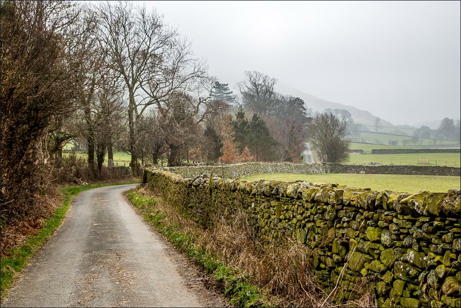
Many profanities have been uttered here - satnavs suggest that this is the quickest way along the valley - but it isn’t


The lane leading to Hopebeck


Mellbreak

Almost back to the start


Red squirrel having a drink in the birdbath at home


Later on, a golden end to the day at the Kirkstile Inn
