
Route: Great Langdale and Little Langdale
Area: Central Lake District
Date of walk: 6th November 2019
Walkers: Andrew and Gilly
Distance: 6.0 miles
Ascent: 800 feet
Weather: Overcast and dull with periods of drizzle and rain
I’ve been lucky with the weather on recent walks. Sooner or later my luck had to change, and today was that day. The skies were grey and overcast as we parked by the roadside in Skelwith Bridge, along the road leading to Elterwater. We joined the Cumbria Way, which passes by Skelwith Force waterfall and follows the bank of the River Brathay as it flows out of Elter Water. The beautiful path then passes by Elter Water, with good views of the Langdale Pikes further along Great Langdale
When we reached Elterwater village we’d planned to contine along Great Langdale, but in view of the poor light we decided to shorten the route, and turned off at Elterwater Hall, passing along the edge of Sawrey’s Wood. Another shortcut beyond the wood meant that we missed out on visiting ancient Slater Bridge, one of the scenic highlights in Little Langdale. (For a longer version of this walk, which is recommended when the weather is better than it was today, click here)
When we arrived at Stang End we began the return leg, heading east back towards Skelwith Bridge. At this point is started raining quite heavily and the camera had to be stowed away at times. We passed by Colwith Force waterfall and followed a path mostly through woodland back to the start
One of the reasons for choosing Langdale as the venue for today’s walk was to enjoy the autumn colours in the valley, but the light was so poor that these weren’t shown at their best. The beauty of the landscape was undiminished though, and this is a walk worth following whatever the weather
For other walks here, visit my Find Walks page and enter the name in the ‘Search site’ box
Click on the icon below for the route map (subscribers to OS Maps can view detailed maps of the route, visualise it in aerial 3D, and download the GPX file. Non-subscribers will see a base map)

Scroll down – or click on any photo to enlarge it and you can then view as a slideshow

Earlier in the week, autumn colours in the garden


Near the start of today's walk we pass by the Trevor Woodburn Bridge at Skelwith Bridge

After a short woodland section we emerge into the fields and follow the Cumbria Way

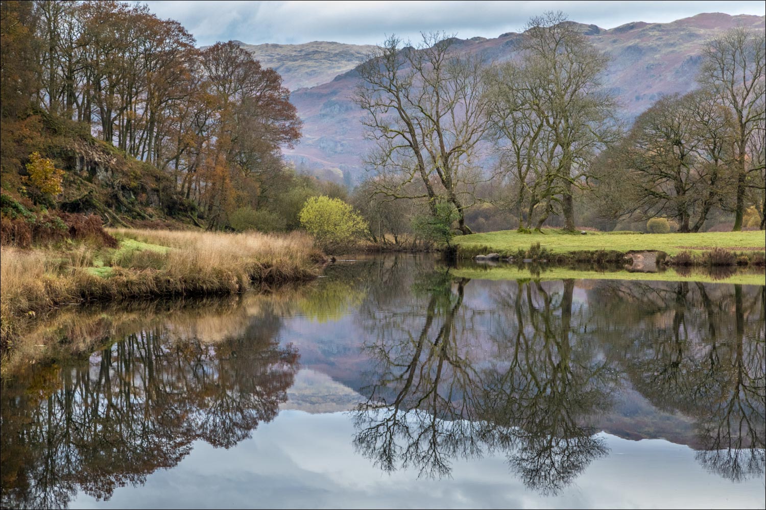
The unmistakeable outline of the Langdale Pikes beyond the River Brathay

Elter Water


The Langdale Pikes again as we approach Elterwater village

We'd intended to continue further along the river bank but in view of the uninspiring weather we took a shortcut here

After passing by Elterwater Hall, we walk through Sawrey's Wood, leaving Great Langdale to enter into the side valley of Little Langdale

Another shortcut as we leave the main path and turn left to Wilson Place

Wetherlam ahead as we descend to Wilson Place...


At Wilson Place we follow the lane for a few yards...

...and then join a path to Stang End

Looking back to Busk Pike on Lingmoor Fell


Beyond Stang End we follow the lane for a short distance - the rain has set in by now

Looking back towards Pike o'Blisco

We pass through High Park, here looking back to Busk Pike

We enter the woods...


The last photo of the walk - Colwith Force. The camera had to be put away as it was raining quite heavily by now. We'd enjoyed the walk despite the conditions

Next day, a visitor from Scandanavia on our rowan tree - fieldfare, which fly over here at this time of the year to feast on autumn berries
