
Route: Kilpeck
Area: Herefordshire
Date of walk: 25th July 2022
Walkers: Andrew and Gilly
Distance: 2.7 miles
Ascent: 300 feet
Weather: Mostly cloudy
On the first night of a short walking holiday in Herefordshire we were staying at the excellent Kilpeck Inn and after a hearty breakfast the next day we were well fuelled for our first walk in this area. We started from the nearby Kilpeck Church, or the Church of St Mary and St David to give it its full title. The Church dates back to early Norman times and is regarded as the finest of its type in Britain. As bad luck would have it, the exterior was concealed behind scaffolding, part of a restoration project (the scaffolding is due to be removed next week). The church is worth visiting for its south door alone, but there are many other features of interest here, including a Sheela Na Nig. This particular feature was concealed behind the scaffolding today, thus sparing our blushes
After leaving the church we visited the remains of the adjacent Kilpeck Castle, another historic place which dates back to 1090
After those fascinating diversions it was time to be getting on with the walk, and so we walked along the road to the junction by the village green and joined a track to the left of the Kilpeck Inn. We followed a succession of paths and stiles to a quiet lane where we turned right. There were good views towards the Black Mountains from this elevated section of the walk. We then descended along the edge of woodland to join the long distance Herefordshire Trail, which we followed back to the start of a lovely walk and a good introduction this unspoilt and historic county
For anyone staying in the area, I can thoroughly recommend The Bourbon on Fair Oak Farm, our base for the next four nights. The farm is also home Fair Oak Cider and the only horse-drawn cider mill in the country operating commercially
Click on the icon below for the route map (subscribers to OS Maps can view detailed maps of the route, visualise it in aerial 3D, and download the GPX file. Non-subscribers will see a base map)

Scroll down – or click on any photo to enlarge it and you can then view as a slideshow

The start of the walk from ancient Kilpeck Church, which dates back to around 1135. Most of the exterior was behind scaffolding today, and only the east apse was visible

The magnificent south door

The Church is famous for its cornucopia of carved corbels, over 850 years old, and the subject of much study and speculation

View from the east apse

We walk through the churchyard to Kilpeck Castle, which consists of a motte and bailey and various outworks

The castle was built by William Fitz Norman who had been given the manor of Kilpeck by William the Conqueror. It commands views over the Welsh Marches

We leave the castle and walk through the village

We pass by the Kilpeck Inn, where we'd stayed last night (and which I can recommend)

We walk down a driveway to the left of the inn

We pass by the half-timbered Priory and cross a stile into a field....


Parched earth following record heat and drought in recent days

We had to divert from the path here as the farmer had grown a crop of maize over it

Looking back to Kilpeck, with the Black Mountains beyond

We reach a quiet country lane and turn right along it

We leave the road to descend gently west, with the long spine of the Black Mountains in the distance

We pass by Dippersmoor Wood...


We aim for a footbridge to the right of the buildings ahead

We're now following a section of the long distance Herefordshire Trail


Looking back along our route

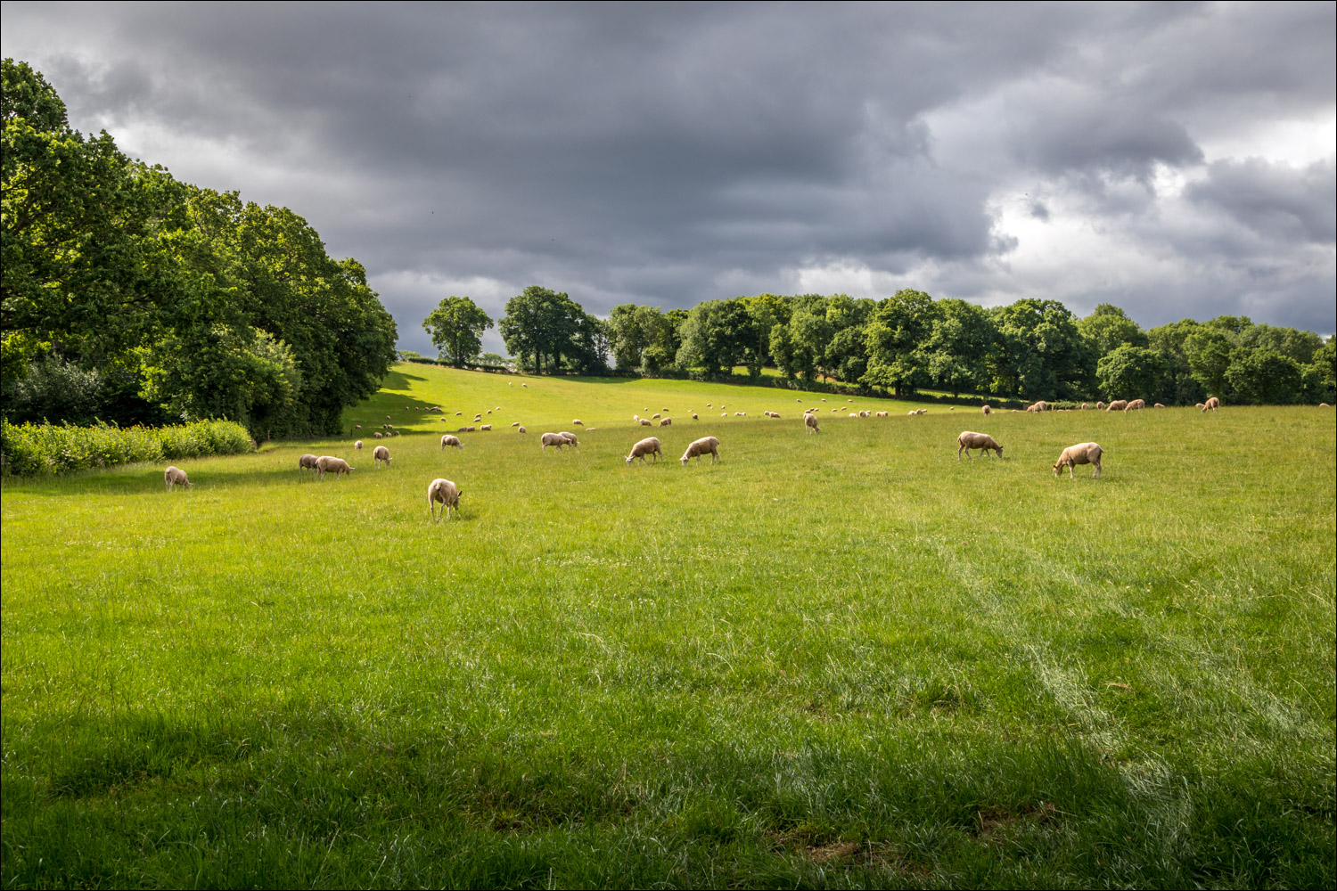
Fields near Kilpeck

We arrive at the lane into Kilpeck and from here it's a short stroll back into the village

Cottages near Kilpeck Church, and the end of a lovely short walk through unspoilt English countryside
Follow the link for more walks in Herefordshire (6)
