
Route: Killantringan
Area: Dumfries and Galloway
Date of walk: 11th April 2017
Walkers: Andrew and Gilly
Distance: 8.7 miles
Weather: Light cloud, some sunny intervals
We started today’s walk where we’d ended yesterday’s – in the little harbour town of Portpatrick. The Southern Upland Way, a long distance route from coast to coast, starts at the harbour and we climbed the steps out of the town to reach the cliff top. The Southern Upland Way is well waymarked and navigation was a simple affair
We followed the undulating path past the golf course and then down to the bays of Port Mora and Port Kale, in both of which we had sightings of grey seals
From here the path climbed up again to reach Ouchtriemakain Moor, where we had an easy stroll across the cliff tops to the far point of our walk – the Killantringan Lighthouse. We then headed inland along a track which joined up with the B738. There followed a rather dull trudge in equally dull weather until we reached Dunskey Garden. The gardens are open from March and so we took the opportunity to walk around them for a while before taking a path through the estate which runs parallel with the road for a while. This brought us back in to Portpatrick to conclude another wonderful walk in this area
Click on the icon below for the route map (subscribers to OS Maps can view detailed maps of the route, visualise it in aerial 3D, and download the GPX file. Non-subscribers will see a base map)

Scroll down – or click on any photo to enlarge it and you can then view as a slideshow

Portpatrick Harbour at the start of today's walk...


We follow the start of the long distance trail known as the Southern Upland Way

Looking back down the steps as we climb up to the cliff tops

The Irish Sea

Herring gull

Further along the Southern Upland Way...


We pass by the Dunskey Golf Course

Approaching the beaches of Port Mora and Port Kale, separated by a small outcrop of rock...


Port Mora

We descend to the beach and pass by a small waterfall

Port Mora beach

We climb away from the beach

As we do so, it's a thrill to spot a seal

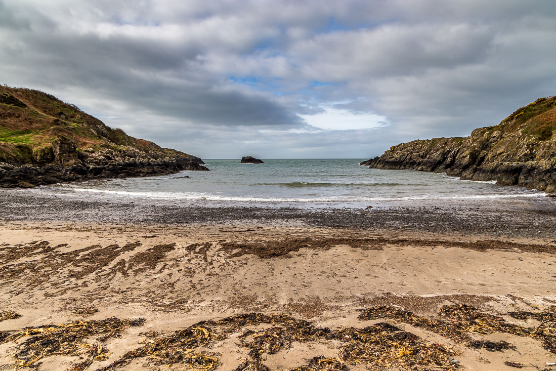
We arrive at the adjoining stony beach of Port Kale...


We climb the steps away from the beach (spotting another seal as we did so)

The path heads to the cliff tops again

Looking back down to Port Kale

Killantringan Lighhtouse comes into view as we stride out across Ouchtriemakain Moor

Killantringan Lighhtouse, which marks the furthest point of our walk

Killantringan Bay

We now head inland to start the return journey

Looking back to the lighthouse


A photo of the road section, which was rather dull in comparison with what had gone before

We arrive at the gates of Dunskey Gardens

We visit the Walled Garden, which will be at its best in summer

We leave the Walled Garden to explore the woodland areas

There's a choice of waymarked paths, and a map is provided at the entrance

The Old Loch...


Boathouse on the New Loch

We return through the woodland

We retrace our steps down the drive and turn off just before the road

The path back to Portpatrick takes us through a bluebell wood

We follow a track back into Portpatrick

We arrive at the harbour

Black Guillemot in the harbour (they are known in Scotland as 'Tysties')

The end of a superb coastal walk

...but not the end of the day, as we drove to the nearby Mull of Galloway, the most southerly place in Scotland

Looking along the cliffs...

The lighthouse, known as Stevenson Tower - on a clear day Scotland, Ireland, Isle of Man and Cumbria may be seen


Small building below the lighthouse

On the way back to our hotel, a couple of roe deer
Follow the link for more walks in Scotland (44)
