
Route: High Street and Mardale Ill Bell
Area: Far Eastern Lake District
Date of walk: 5th May 2017
Walkers: Andrew
Distance: 6.7 miles
Weather: Sunny, windy and cold wind on tops
I started today’s walk from the head of Haweswater. This is an evocative place – the lake is in fact a reservoir, built in 1929 to supply the needs of the north west urban conurbations. In order to do this the valley was flooded by the construction of a dam, and all the farms and houses of Mardale and Measland were pulled down. Coffins were removed from the graveyard and buried elsewhere. This understandably caused huge controversy at the time, and at times of drought the ruins of the old village can still be seen
After leaving the car park I joined the lakeside path leading to The Rigg, and then turned sharp left to start the long climb up the ridge leading up to High Street. The ridge is about 2 miles long and its course is as straight as an arrow. There are a few steepish sections which cannot be climbed with hands in pockets, but it’s a straightforward affair, and it would be impossible to get lost.
Eventually I arrived at the summit of High Street and followed the easy path to the next fell, Mardale Ill Bell. From here I descended to Nan Bield Pass and followed a delightful path back down to the start. It had been a wonderful time in this remote and often overlooked part of the Lake District
Click on the icon below for the route map (subscribers to OS Maps can view detailed maps of the route, visualise it in aerial 3D, and download the GPX file. Non-subscribers will see a base map)

Scroll down – or click on any photo to enlarge it and you can then view as a slideshow

Lovely early morning light on this red squirrel before I set off to Haweswater

Just before the car park, this shows the woods on The Rigg and the ridge I will follow beyond it

Start of the walk from the car park at Mardale Head

I follow the sign for Riggindale and will return via Nan Bield Pass

Walking across the head of the lake

In order to gain the ridge, I have to walk in the opposite direction to my destination

Heading towards The Rigg

Looking back to the car park

Start of the climb as I follow a path at the edge of the wood on The Rigg

The ridge is gained and I can start the climb towards High Street

Looking back over Haweswater

The way ahead

Looking back to Mardale Head - the car park is below the trees

Haweswater

I pass above the car park

Looking back down the ridge

Haweswater again

High Street ahead

Blea Water and Blea Water Crag, with Mardale Ill Bell above

Looking across to Small Water, which I'll pass by near the end of the walk

Haweswater

Bonnie on Rough Crag

High Street

Looking back along the ridge

The final section to High Street on a path of loose stones

Summit of High Street

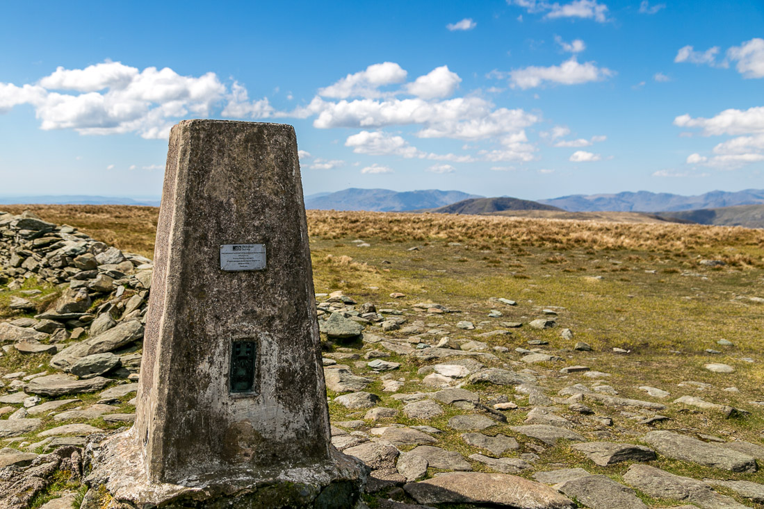
The OS trig point at the summit

Bonnie admires the huge views...

...towards Skiddaw and Blencathra...

...and Great Gable and the Scafells

I descend gently beside a dry stone wall, initially in the direction of Windermere

I leave the wall here to turn left towards Mardale Ill Bell

The easy and well made path to Mardale Ill Bell

A small tarn along the way

Summit of Mardale Ill Bell

Start of the descent to Nan Bield Pass

Small Water, with Haweswater beyond

Ill Bell and Kentmere Reservoir

I arrive at Nan Bield Pass

Shelter at the top of the pass

Start of the descent down the pass towards Small Water

I follow the path around the left shore of Small Water

Looking back up the pass

I cross Small Water Beck via some stepping stones

Deer gate above Haweswater, part of a huge fencing project to protect Mardale Mountain Meadow from grazing


Back to the start of a great walk
