Route: Helvellyn
Area: Eastern Lake District
Date of walk: 3rd December 2016
Walkers: Andrew James and Jason
Distance: 6.6 miles
Weather: A bright start but soon clouded over and then dull, no views at the top
Standing at a height of 3,117 feet, Helvellyn is the 3rd highest of the Lake District fells as classified by Alfred Wainwright, and a worthy challenge whatever the weather
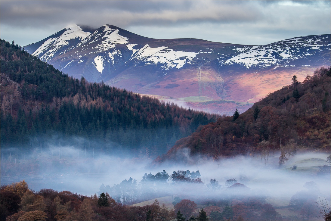
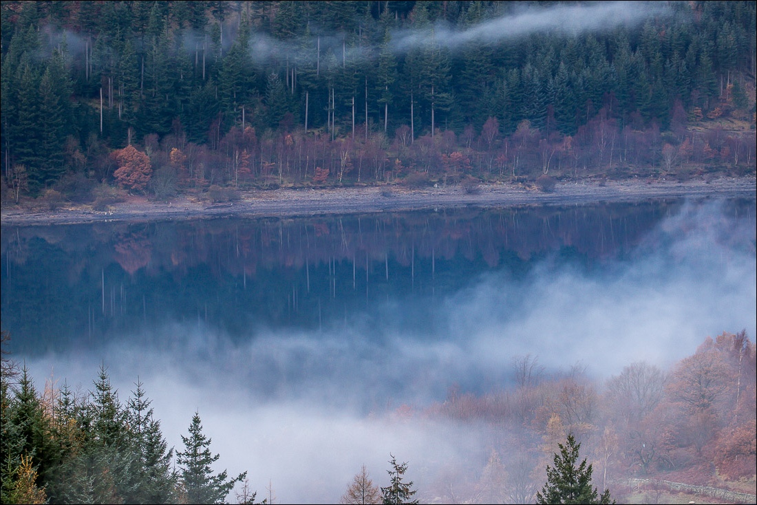
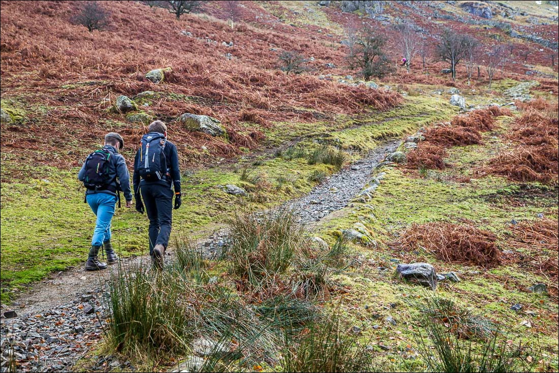
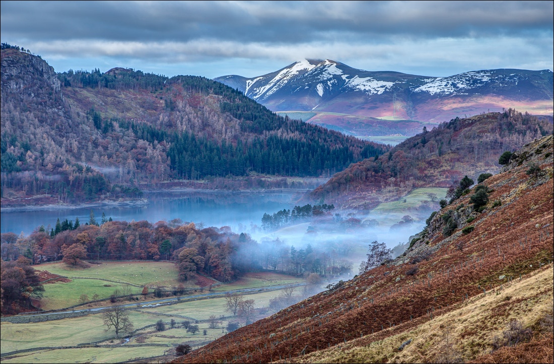
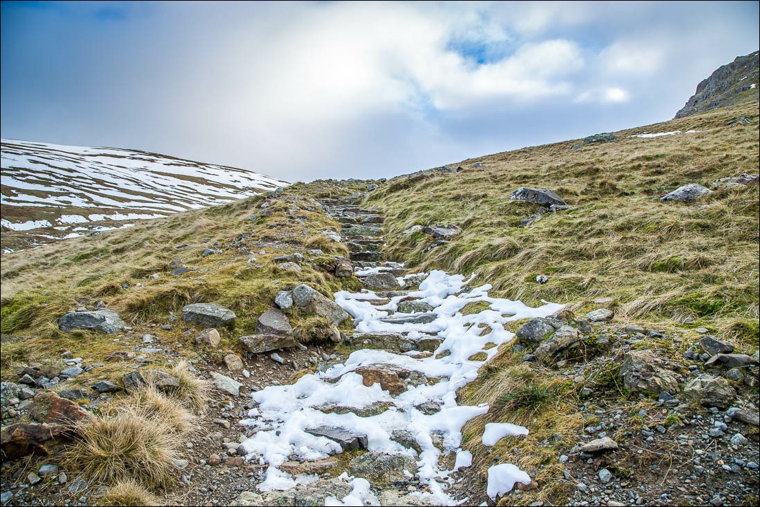
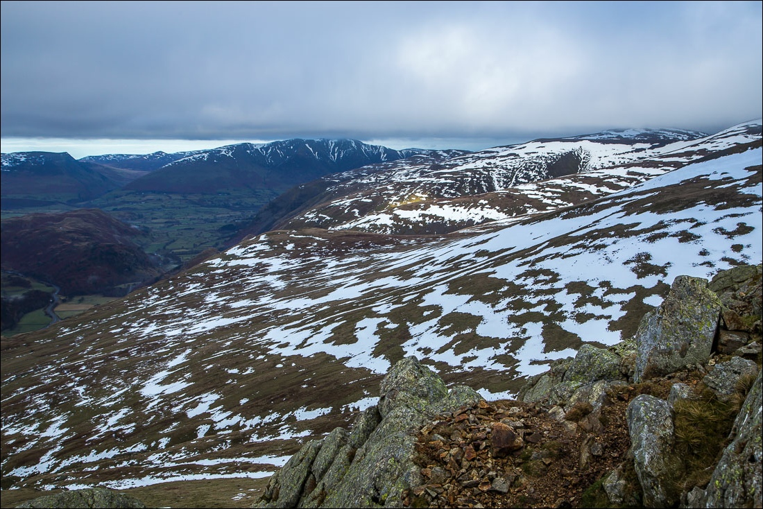
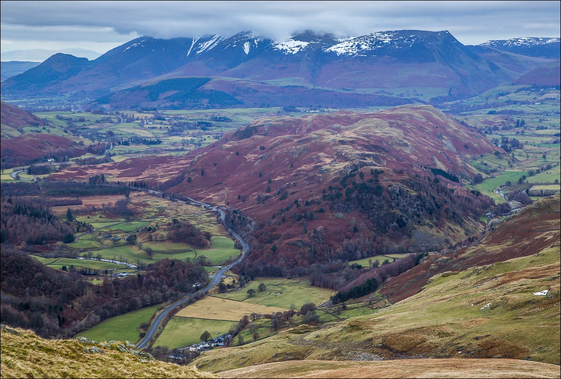
As we drove along the A591 out of Keswick, conditions looked very promising with atmospheric low mist in the valley and some blue skies overhead. We parked in Swirls car park and started the unremitting climb via Browncove Crags. On the way up we encountered some fell runners who warned us about ‘treacherous black ice’ further up, but thankfully we encountered no problems, though had to exercise care
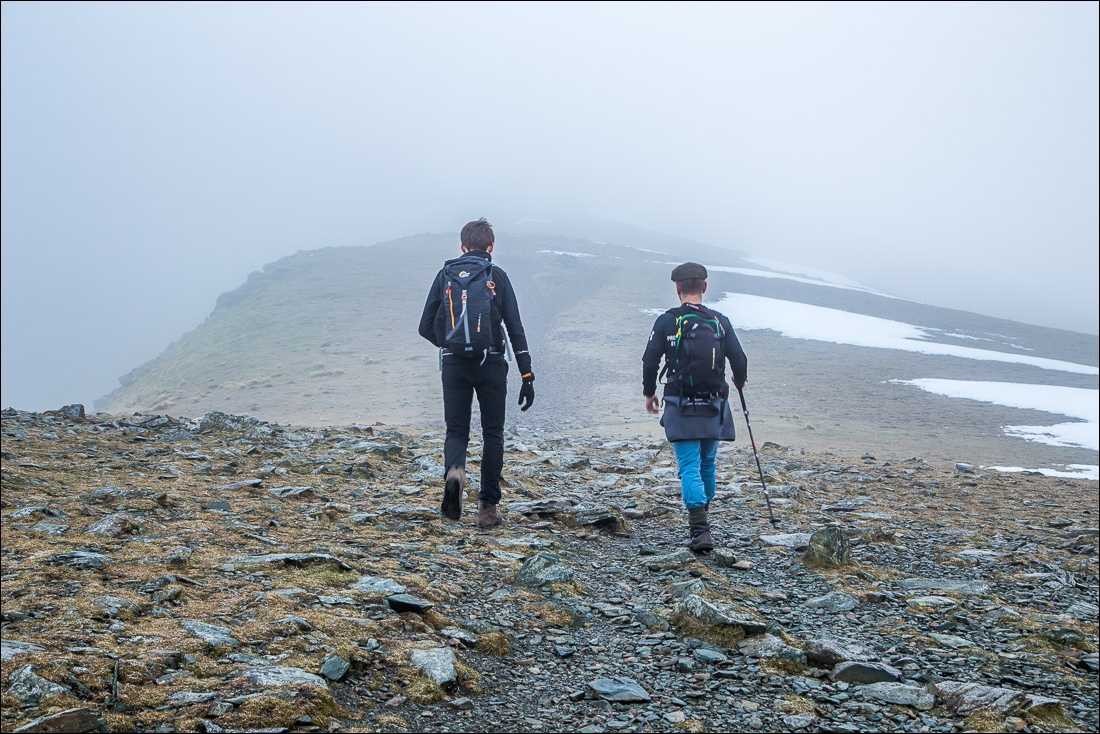
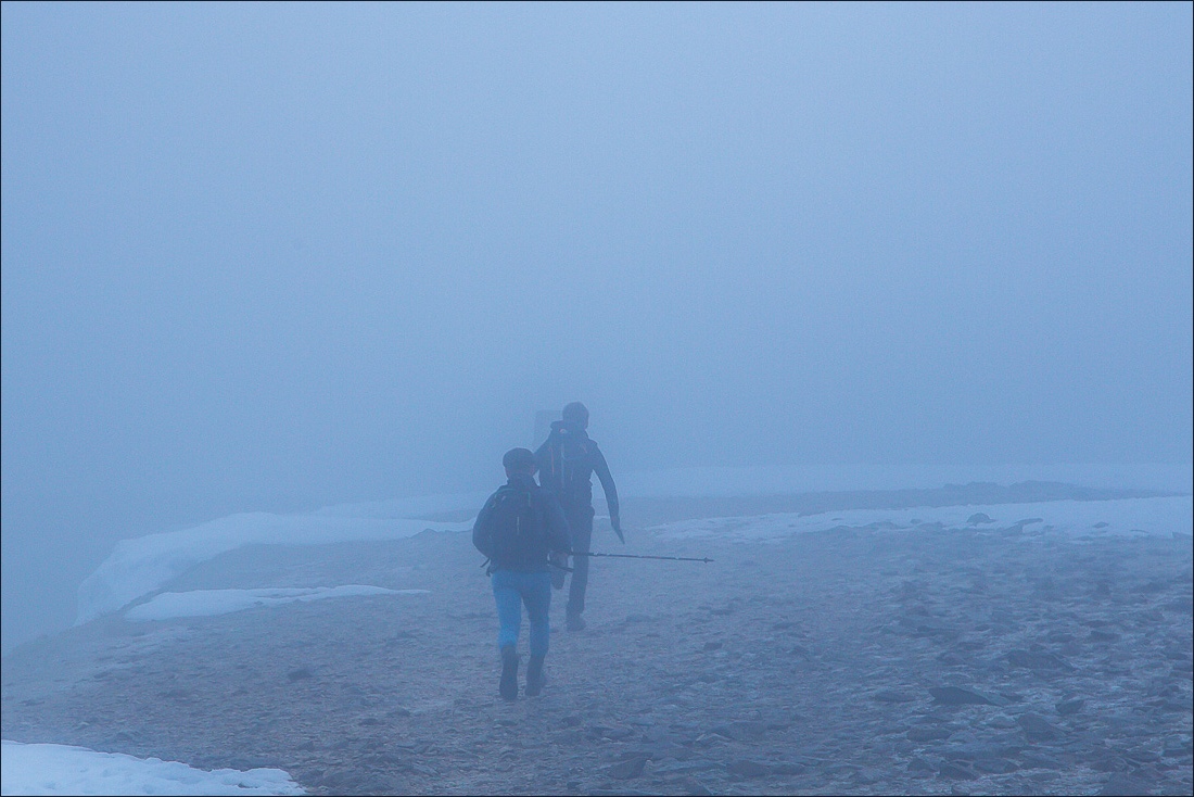
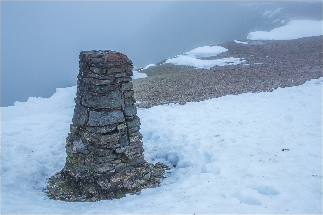
Beyond the crags we walked into cloud and it was disappointing that the climax of the walk – the section from Lower Man to the summit of Helvellyn – was shrouded in fog and we had no views whatsoever. We had no reason to linger at the top, and it was bitingly cold up there, so without ado we retraced our steps for a few minutes before turning off to follow the path in the direction of Raise
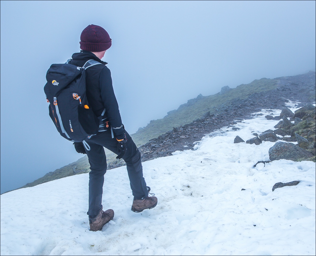
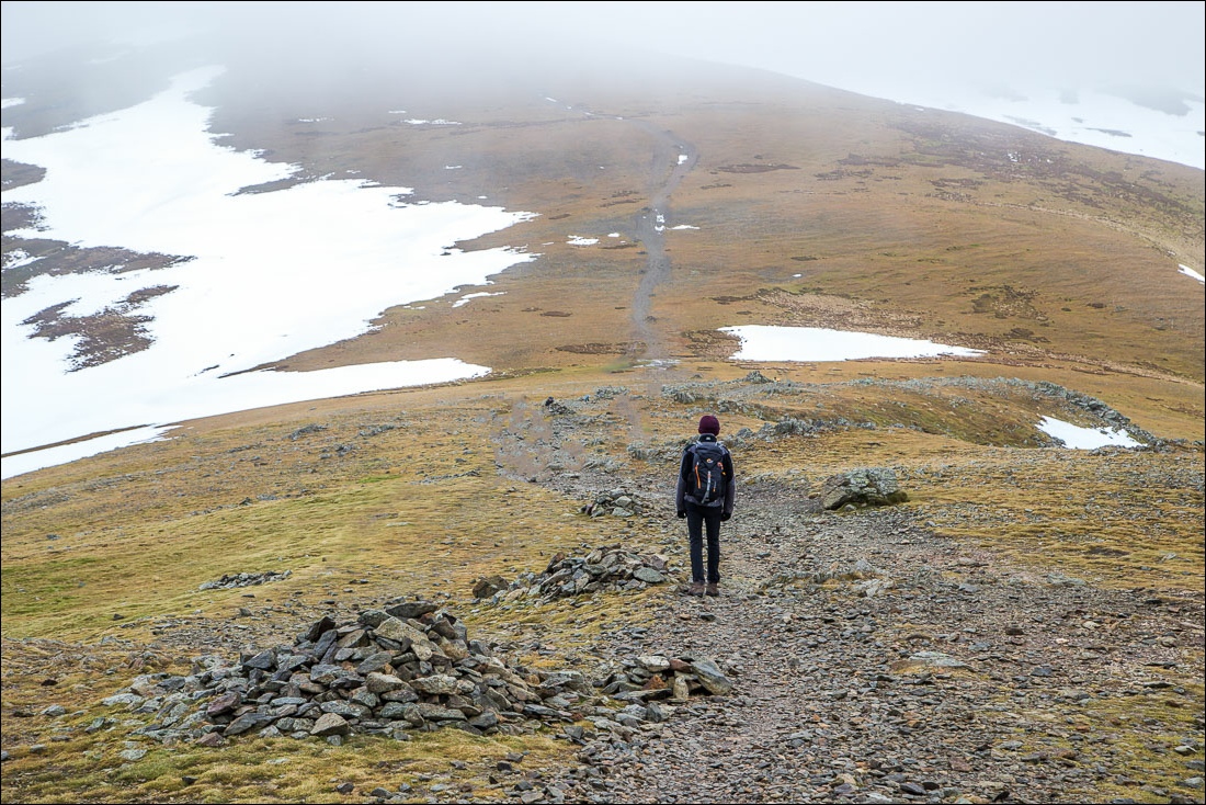
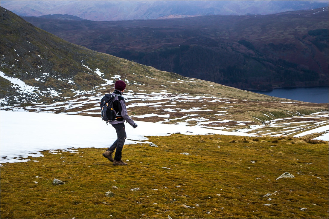
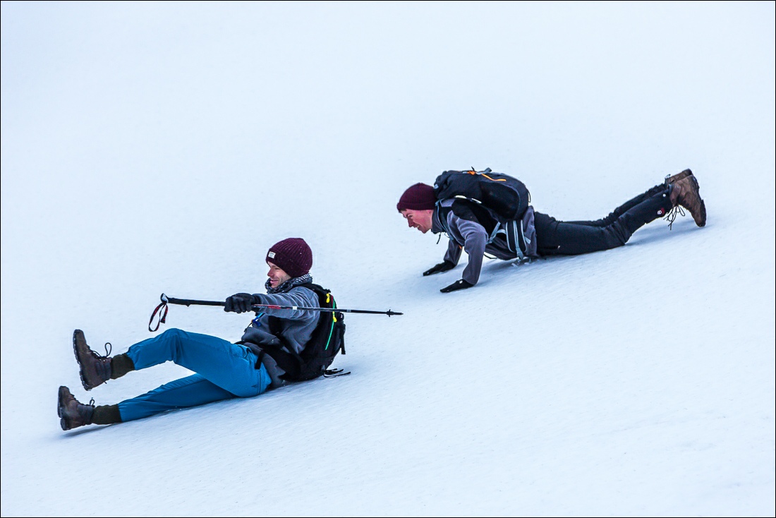
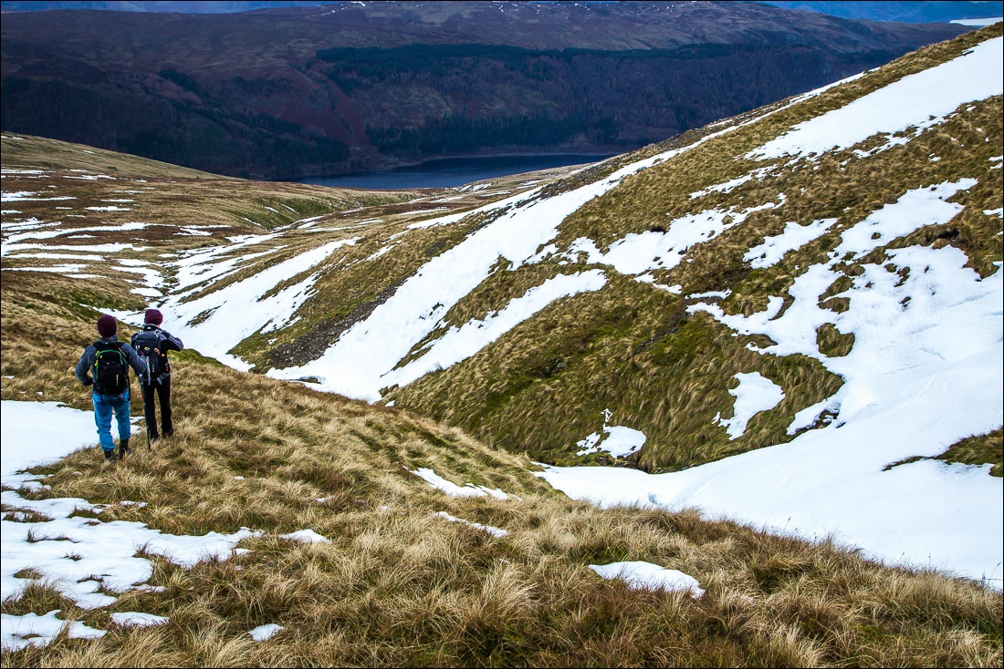
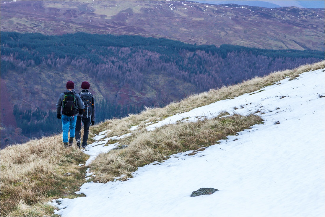
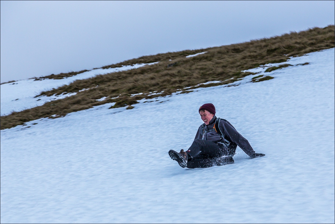
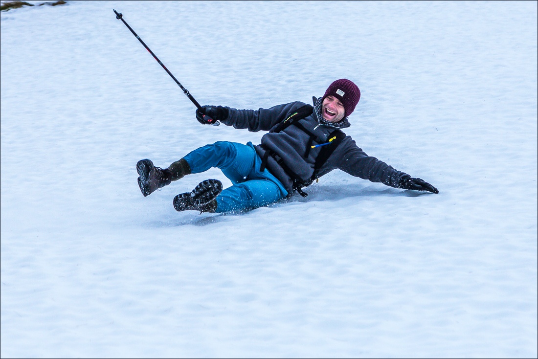
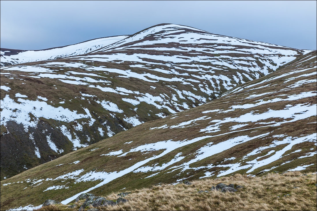
When we reached the depression there was no sign of the descent path to White Side and Brown Crag but the gradient was gentle and we followed the grassy slopes downhill. This is clearly a little used route. Son James and his pal Jason had good fun on the way down, tobogganing (with no toboggan) down some of the snowy patches. There was still no sign of a path, and we had to kick steps into virgin snow much of the way. We knew we were on the right course though and thanks to the easy gradient there were no difficulties
Eventually we reached the path above Fisher Place which took us back to the start. The weather had been poor, too poor in the most part for decent photos, but we all agreed that it had been a grand adventure and I’m sure that the boys will remember their toboggan runs for a long time to come
For other walks here, visit my Find Walks page and enter the name in the ‘Search site’ box
Click on the icon below for the route map (subscribers to OS Maps can view detailed maps of the route, visualise it in aerial 3D, and download the GPX file. Non-subscribers will see a base map)
Scroll down – or click on any photo to enlarge it and you can then view as a slideshow
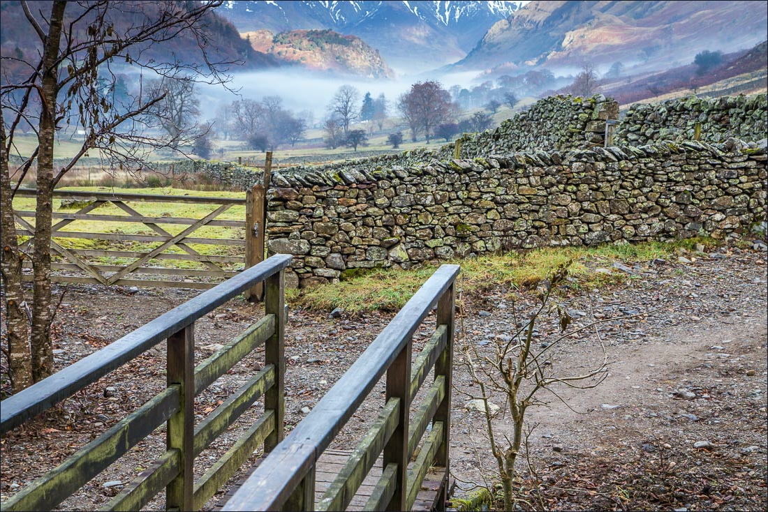
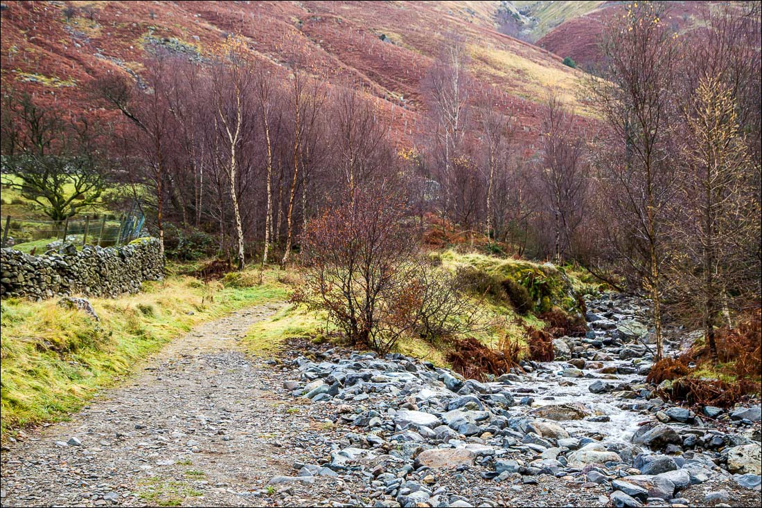
…and a fine start to the day as we cross the footbridge over Helvellyn Gill at the start of the walk
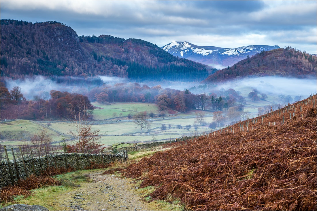
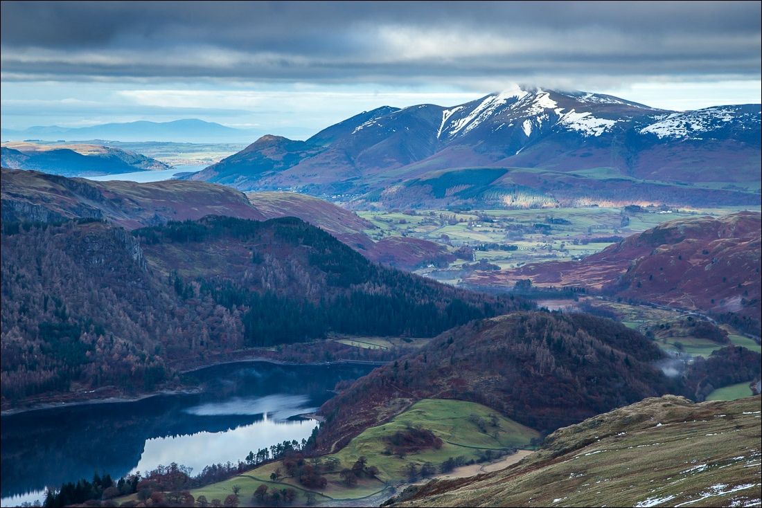
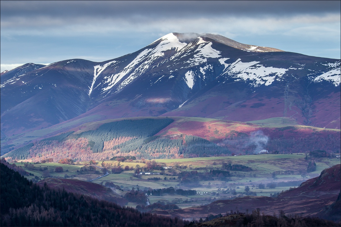
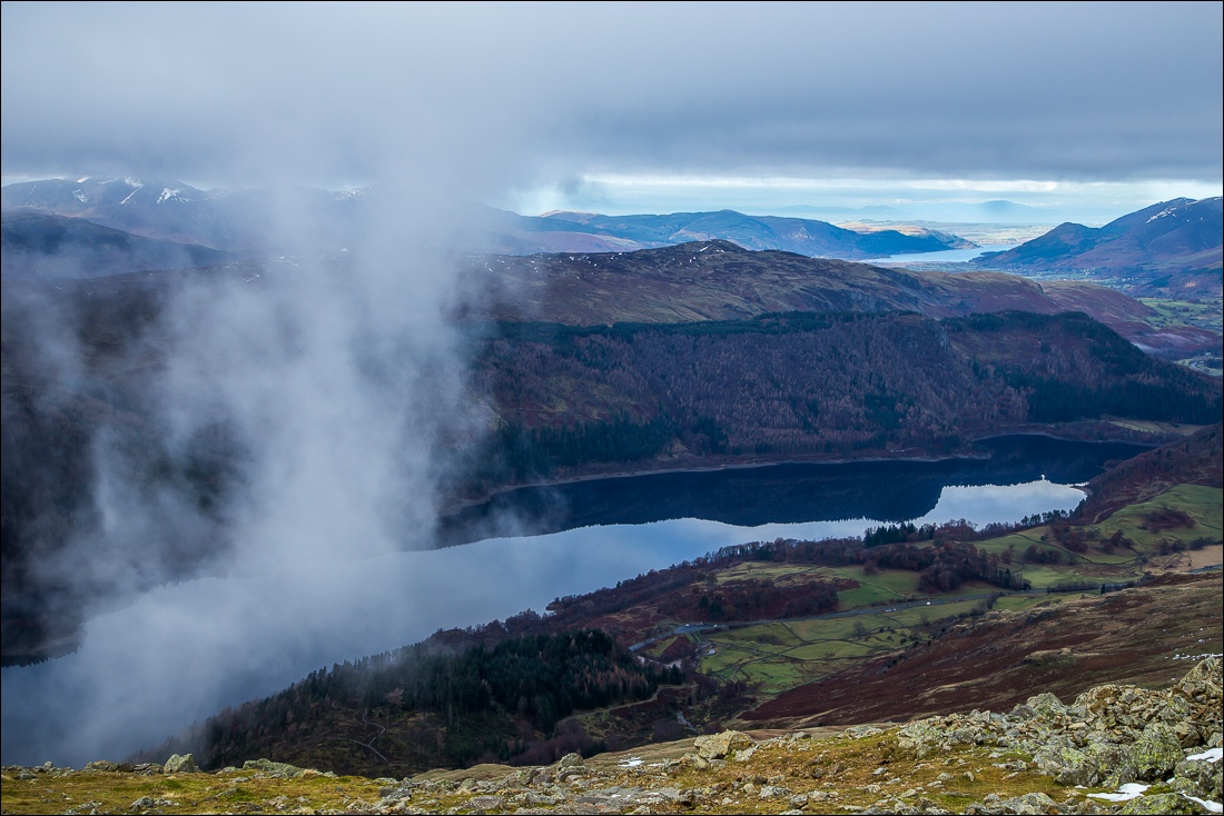
Zooming in. Credit to son James for the photos with the long lens - and for carrying it up Helvellyn
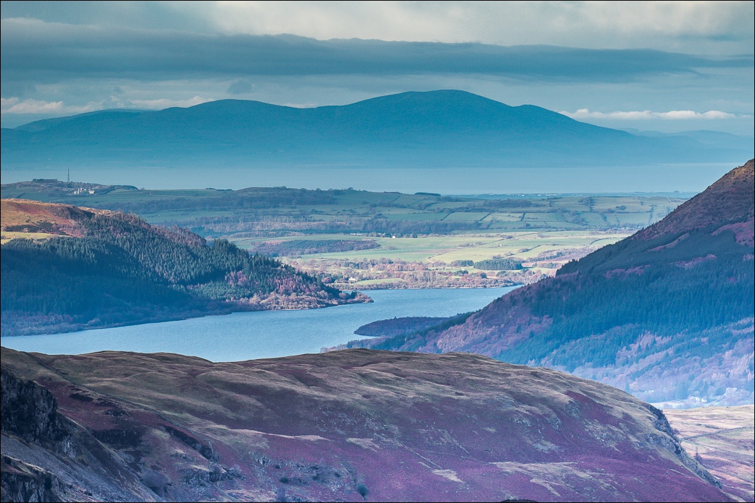
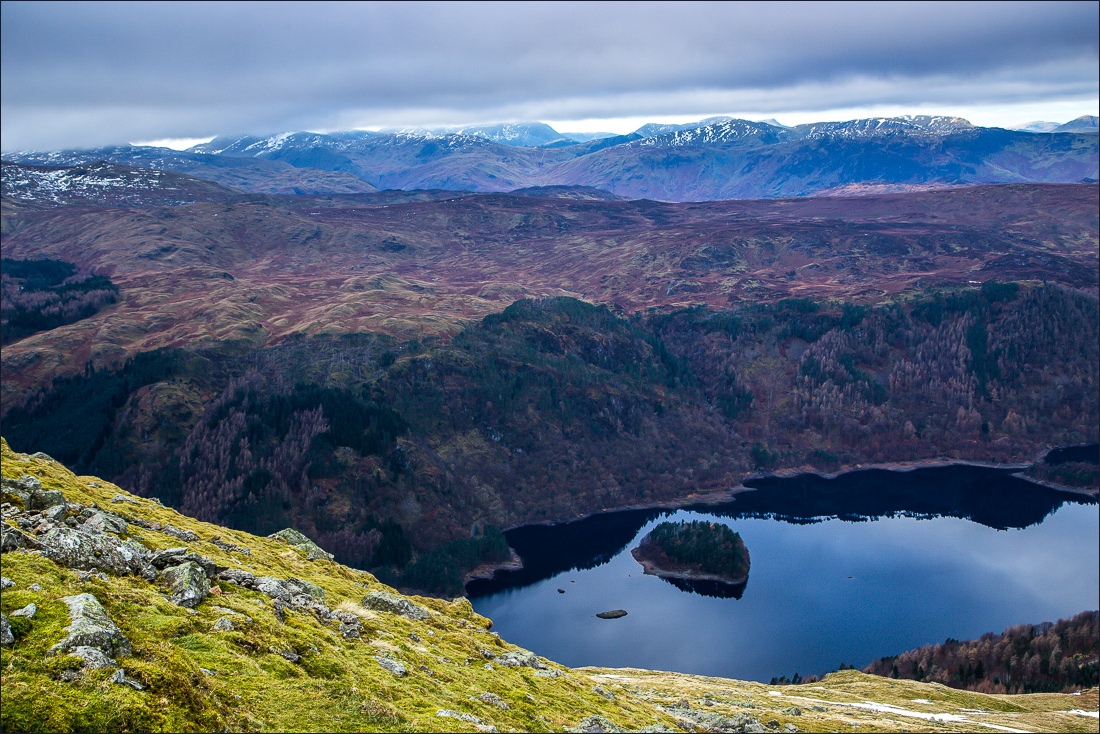
The telephoto lens reveals Bassenthwaite Lake and beyond it the Solway Firth and Criffel In Scotland
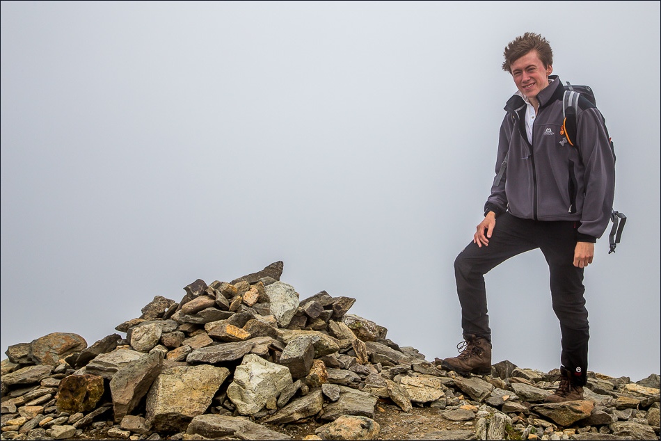
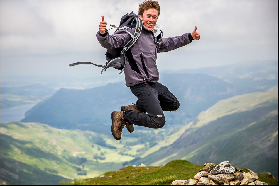
Rolling back the clock 18 months when James and I were last at the summit of Helvellyn - it was just as foggy then…
