
Route: Hackness and Broxa
Area: North Yorkshire
Date of walk: 5th May 2018
Walkers: Andrew, Gilly and David
Distance: 7.0 miles
Ascent: 1,000 feet
Weather: Sunny
We were staying at Derwent View Hackness and awoke to a glorious morning, just as forecast. We set off from the cottage and shortly after leaving the village crossed over the River Derwent via the footbridge near Wrench Green (anyone not staying at Derwent View could start the walk by parking near the village hall)
We followed the path along the bank of the River Derwent (very muddy in places later on), keeping a sharp lookout for kingfishers which are known to nest hereabouts, but we didn’t have any sightings
We arrived at Estell Lane where there is a choice of routes. We continued along the riverbank path but is was a quagmire in places and we wished we’d taken the alternative route, which is to follow the lane in the direction of Troutsdale for a short distance, before heading uphill along a track to the right
After passing through Bridge Farm we decided to detour into Langdale End in the hope of refreshments at the eccentric Moorcock Inn. The opening hours of the Inn are one of the great unsolved mysteries of the universe, and despite it being lunchtime on the Saturday of a bank holiday weekend the inn was closed, so we retraced our steps past Bridge Farm and left the road to make the stiff and sometimes pathless climb up Broxa Banks. At the top of the hill we walked along the lane into Broxa and turned right at Broxa Farm to walk along the Rigg. The tabular nature of these hills only shows itself once the tops are reached and the surrounding countryside is quite flat and featureless – but lovely all the same
After reaching the end of Broxa Rigg at Hackness Head, we followed the track through the woods which took us back down to Derwent View to end a wonderful walk in wonderful weather. It was not the end of the day though, as the Tour de Yorkshire was passing through Hackness village and we were well placed to witness the spectacle…
For other walks here, visit my Find Walks page and enter the name in the ‘Search site’ box
Click on the icon below for the route map (subscribers to OS Maps can view detailed maps of the route, visualise it in aerial 3D, and download the GPX file. Non-subscribers will see a base map)

Scroll down – or click on any photo to enlarge it and you can then view as a slideshow

Derwent View Hackness at the start of today's walk

We walk out of the village...


A hint of things to come later in the day as we pass by the Village Hall

Looking back to Hackness

Near Wrench Green we cross the footbridge over the River Derwent

Looking along the Derwent (we'd heard that there is a kingfisher nest not far from here, and made a short diversion in the hope of a sighting - but to no avail)

We follow the path along the bank of the River Derwent

Old barn below Coomb Hill

Further along the riverbank

The barn again

Coombe Hill again, and another old barn...


We pass by an old oak tree

Views of the lovely River Derwent...


Looking across to Broxa Rigg - our return route will take us across the top of the Rigg

Footbridge near Wood House

Views back along the river...


Near Little Hilla Green

We arrive at Estell Lane

We follow the riverbank path, which becomes very boggy, and it's probably best to follow the lane west uphill, and then to descend to The Carr

Looking across to Broxa Rigg

We cross the old bridge near Bridge Farm

A short detour into Langdale End in the hope but not the expectation that the Moorcock Inn may be open...

We peer through the window

Closed (even though it's a bank holiday Saturday - nevertheless we weren't surprised)

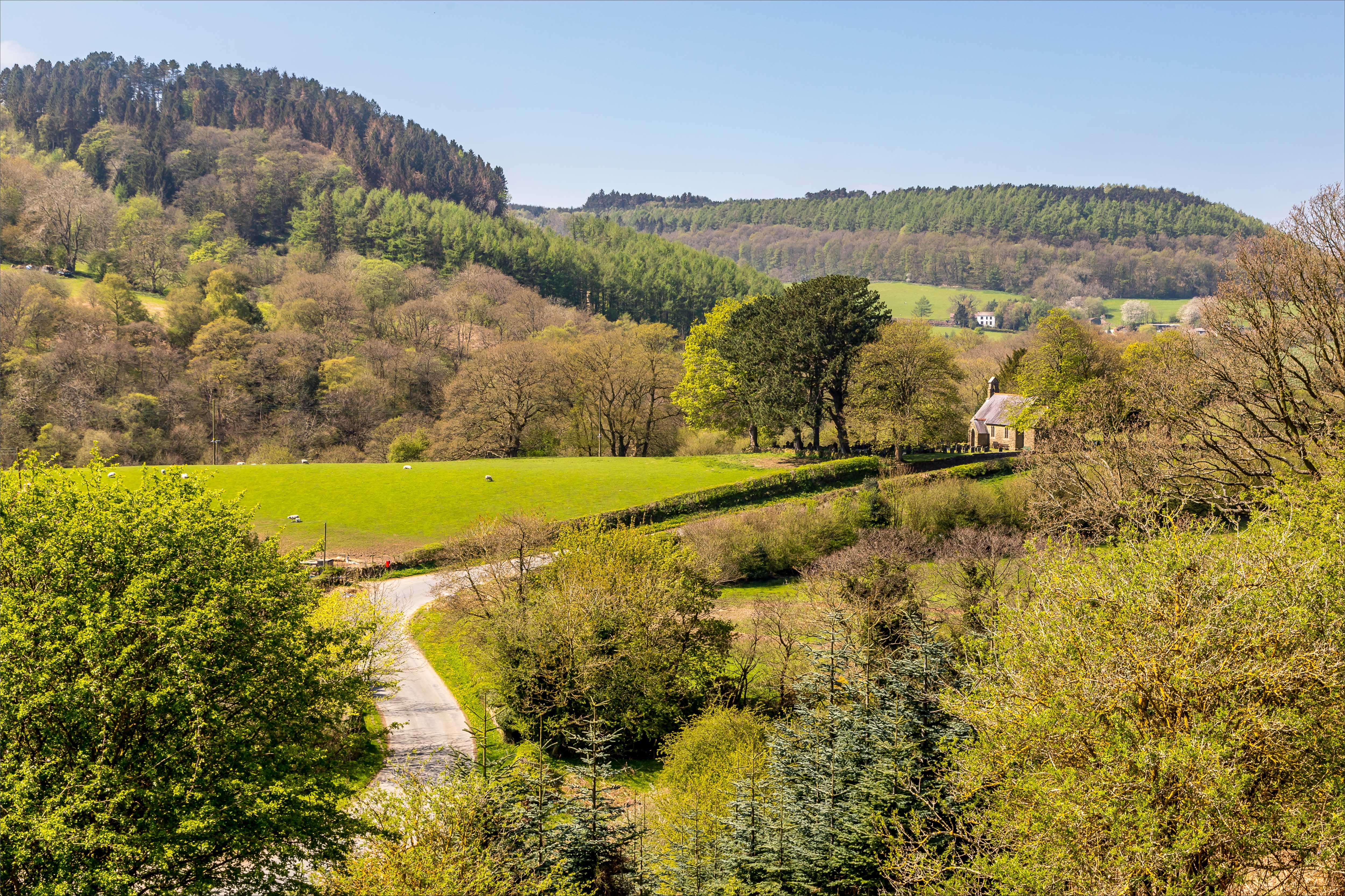
Our thirst unquenched, we retraced our steps past tiny St Peter's Church

We leave the road just beyond this point to climb up to Broxa Rigg ahead

Looking back to Langdale End from the start of the stiff and sometimes pathless climb up Broxa Banks

We arrive in Broxa and turn right at Broxa Farm ahead

We walk along Broxa Rigg beside Hollgate Plantation, where the farmer has ploughed over the path...


A field full of dandelions near Hackness Head at the end of Broxa Rigg

We follow the track back down to Hackness to end a wonderful walk - during the course of 7 miles we hadn't see another soul

Although the walk had ended, there was more enjoyment to come - the Tour de Yorkshire was passing through the village

The first few riders at the start of the 'Cote de Silpho' (the Windings as it's known locally, and I have to say that I prefer the latter)

The peleton speeds by....


A vast army of support vehicles follows in the wake of the peleton

We then drive over to nearby Scarborough for the end of the race - this is looking north along the coast...

...and now looking south to Scarborough Castle

The riders come into view in the distance

...and then flash by in a sprint to the end

A great finish to a great day

