
Route: Grey Crag and Tarn Crag
Area: Far Eastern Lake District
Date of walk: 27th September 2013
Walkers: Andrew
Distance: 6.3 miles
Ascent: 1,700 feet
It’s been 10 years since I was last here. A 100 mile round trip from our home in the North West lakes explains why. These are very inaccessible fells
The remote nature of this area has the benefit of being peaceful and quiet. In 3 hours walking, I didn’t see another soul and looking back on my notes it was exactly the same all those years ago
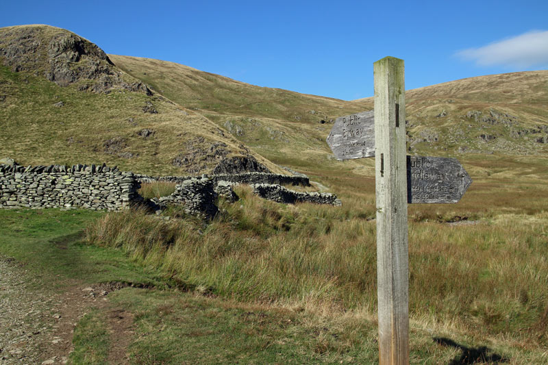
I started the walk at Sadgill, which is where the narrow road along Longsleddale ends. The climbing started immediately, and thanks to some long awaited sunshine, it was T shirt weather for the rest of the way. After reaching the top of Grey Crag I made my way across to Tarn Crag across desolate, juicy and sometimes pathless terrain
The descent from Tarn Crag was easy and I joined the drover’s road which took me back down the valley to Sadgill.
I’d really enjoyed the walk and was glad I’d made the effort to come all this way
For other walks here, visit my Find Walks page and enter the name in the ‘Search site’ box
Click on the icon below for the route map (subscribers to OS Maps can view detailed maps of the route, visualise it in aerial 3D, and download the GPX file. Non-subscribers will see a base map)

Scroll down – or click on any photo to enlarge it and you can then view as a slideshow
At the start of the walk - looking along Longsleddale
And again, from the start of the climb
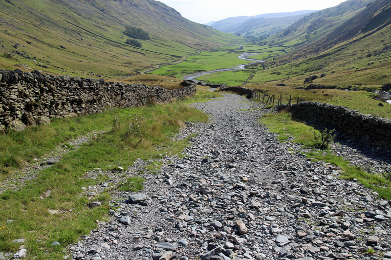
Looking back down to the start at Sadgill
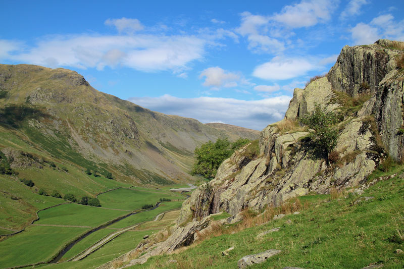
The lower slopes of the fell are rocky and quite unlike the upper parts
Looking back across the valley
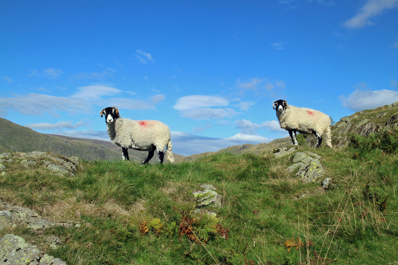
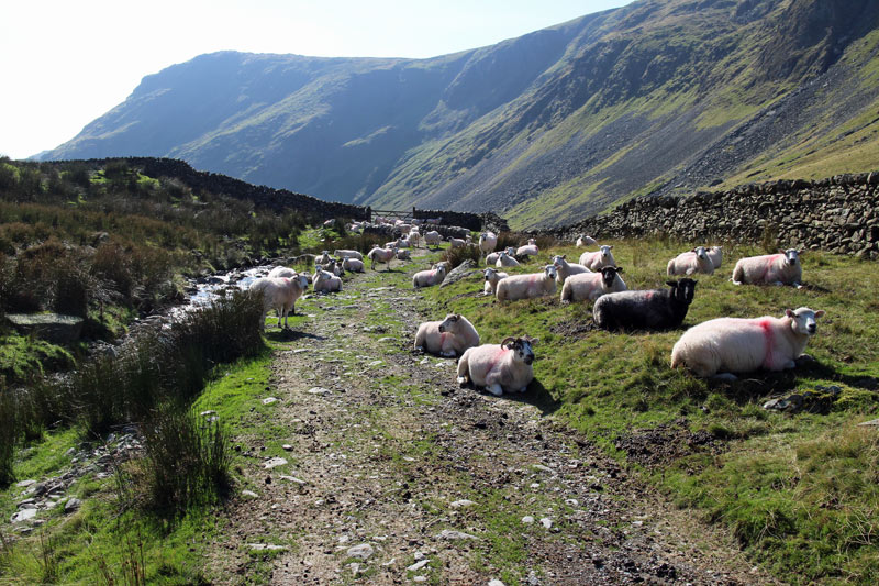
A couple of the locals

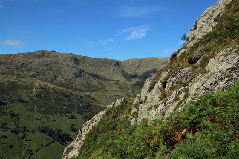
Once above the crags, the true nature of these fells is revealed - the terrain beyond marks the end of the Lake District
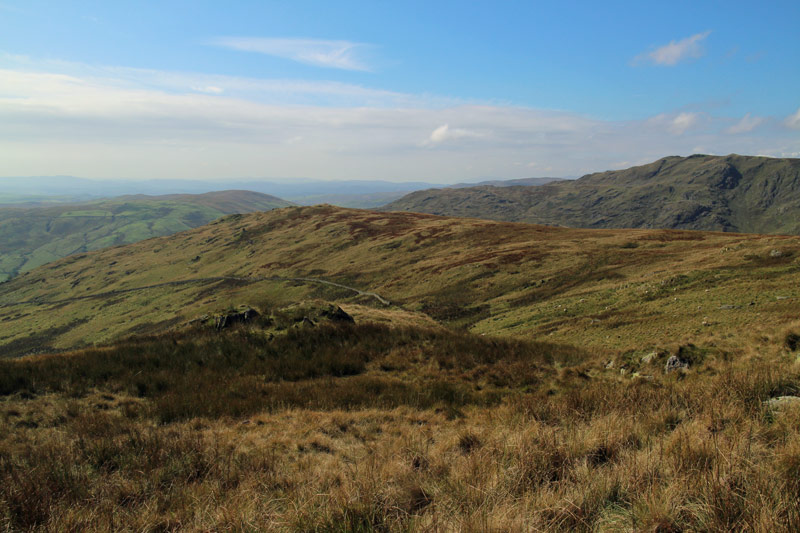
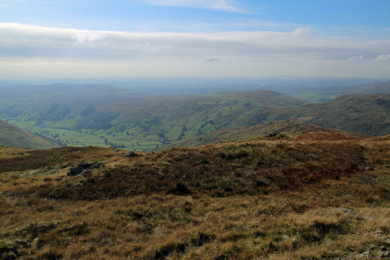
Looking down along Longsleddale

Summit of Grey Crag
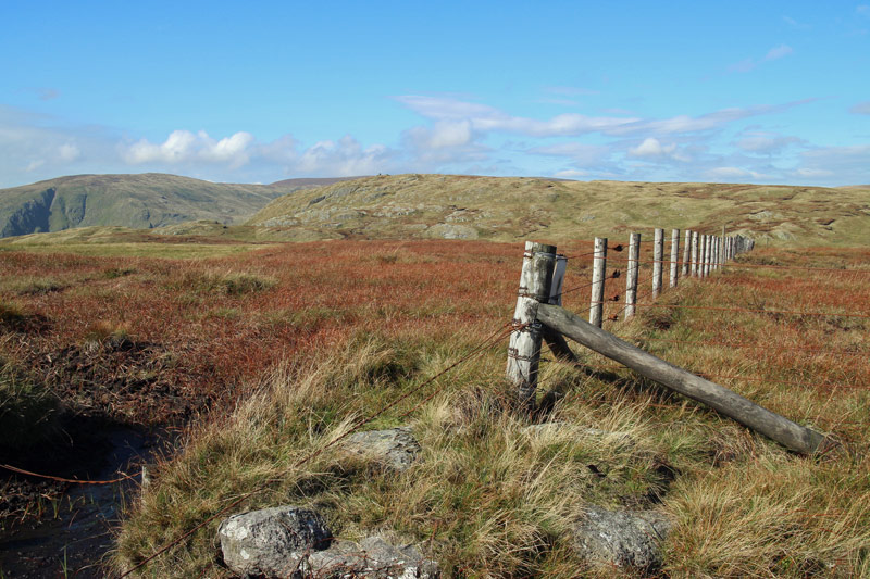
It had been dry underfoot - until now
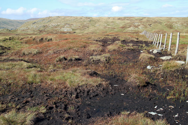
The way to Tarn Crag involved much inelegant leaping

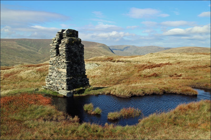
Summit of Tarn Crag, I had to consult Wainwright to find out what this is and why it’s there…

…it was built by Manchester Corporation’s engineers as a survey post during construction of an aqueduct
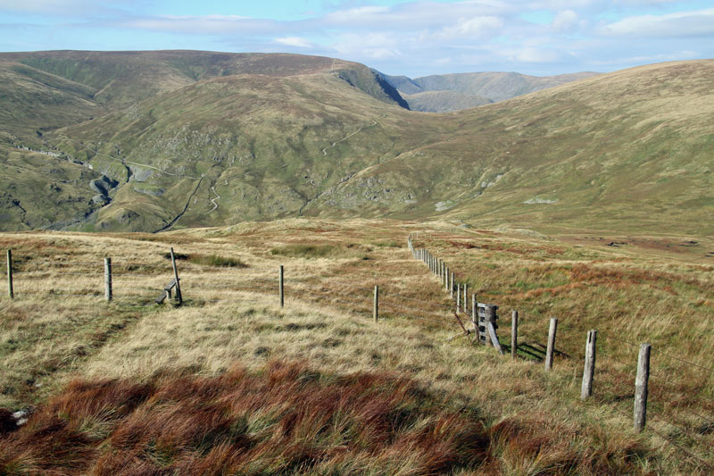
The way down from Tarn Crag, it’s very easy, though does involve some bog hopping
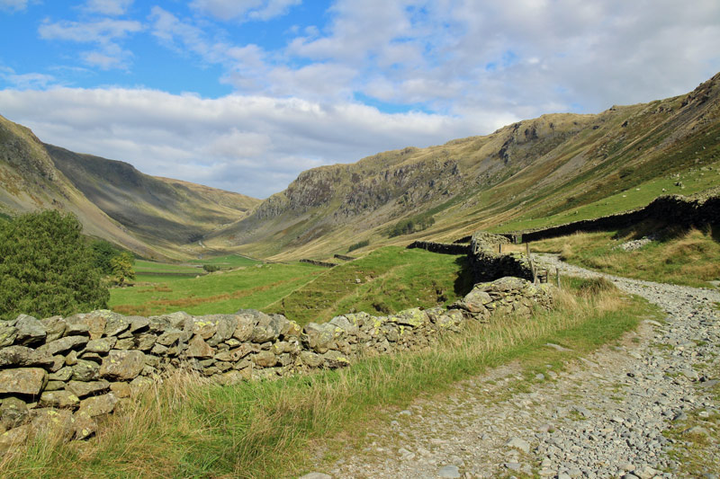
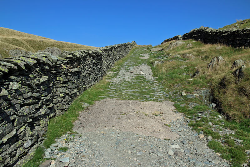
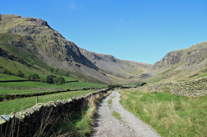
The path joins a drover’s road which leads back down Longsleddale
Heading back down the valley
Looking back up the track to a perfect blue sky
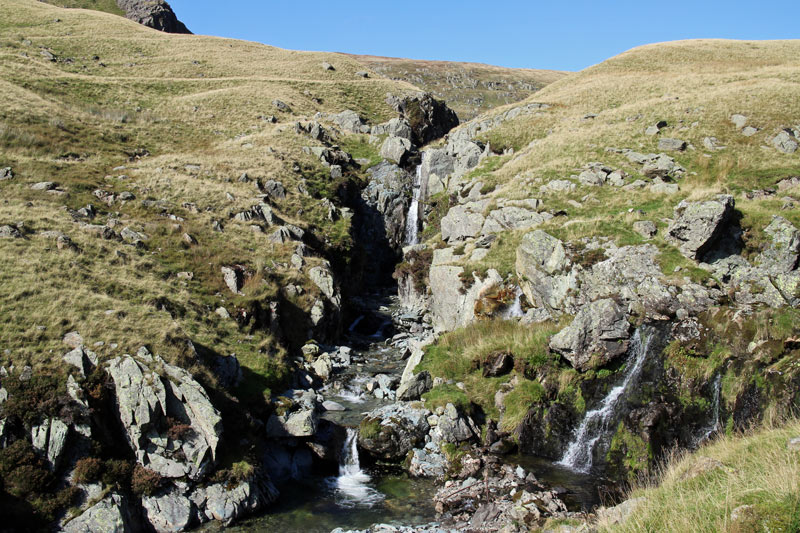
These streams form the River Sprint further down the valley
Further down the lovely track

A bull and his family, thankfully on the other side of the wall
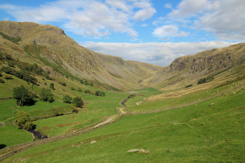
A last lingering look back up to the head of Longsleddale
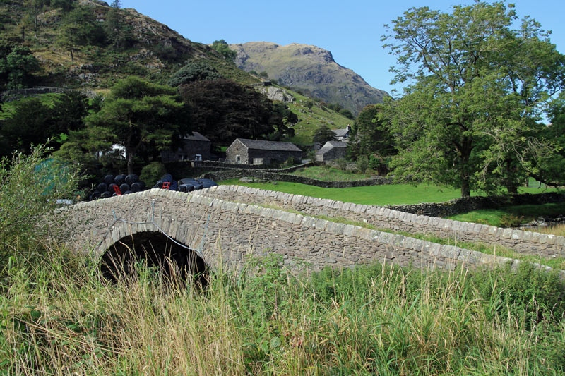
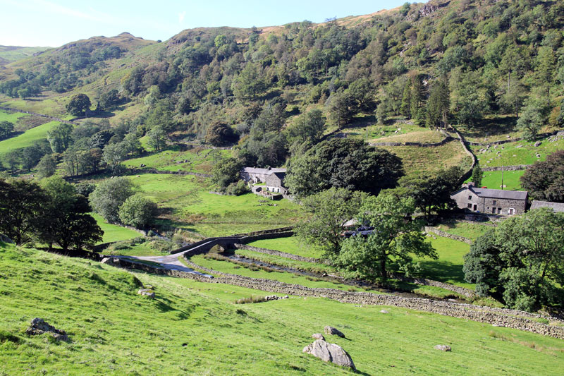
Back to the start at Sadgill - the end of a great walk
