Route: Grasmoor, Wandope and Whiteless Pike
Area: North Western Lake District
Date of walk: 14th July 2016
Walkers: Andrew
Distance: 7.1 miles
Ascent: 2,900 feet
Weather: Perfect
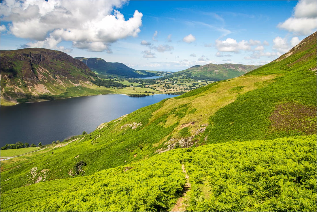
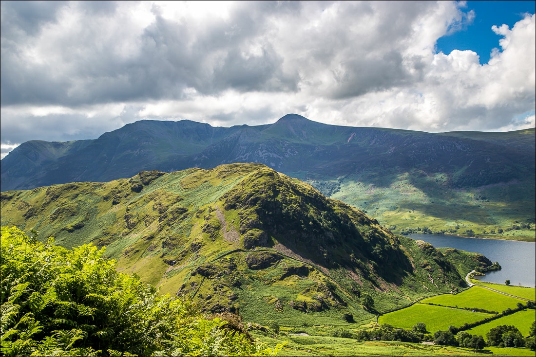
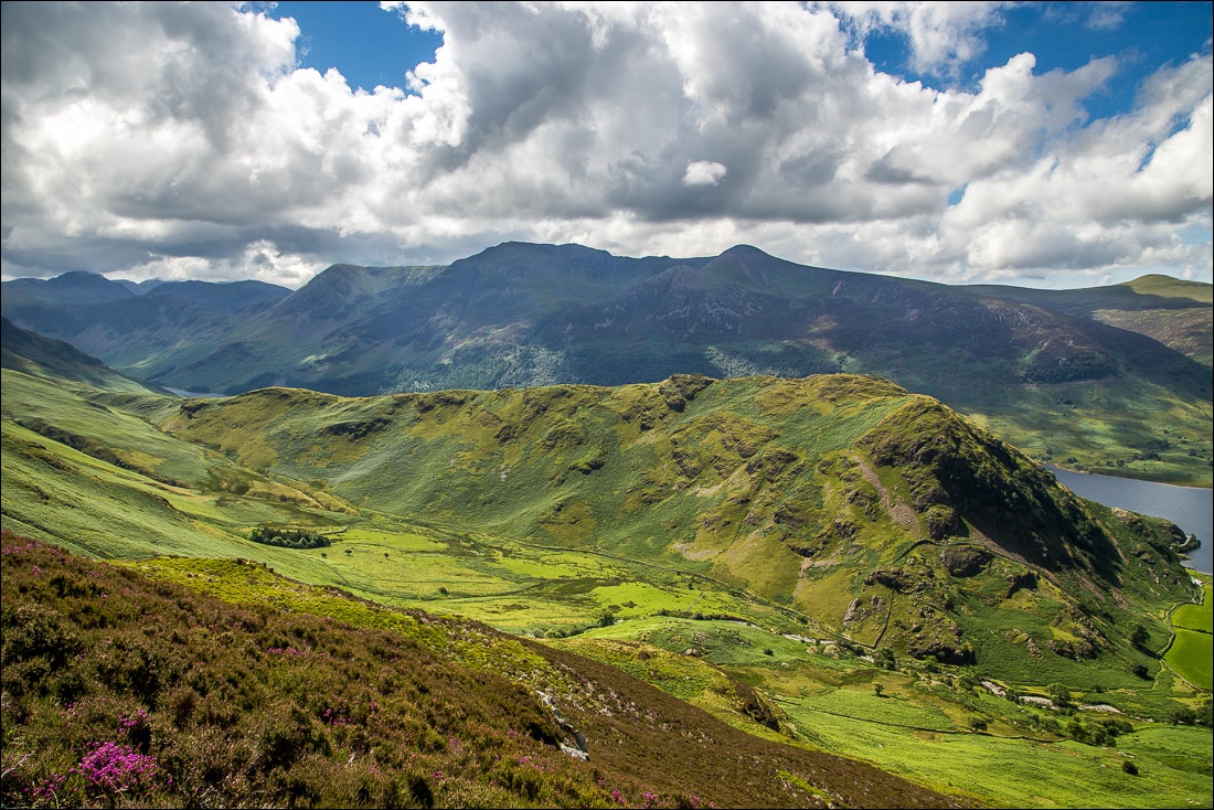
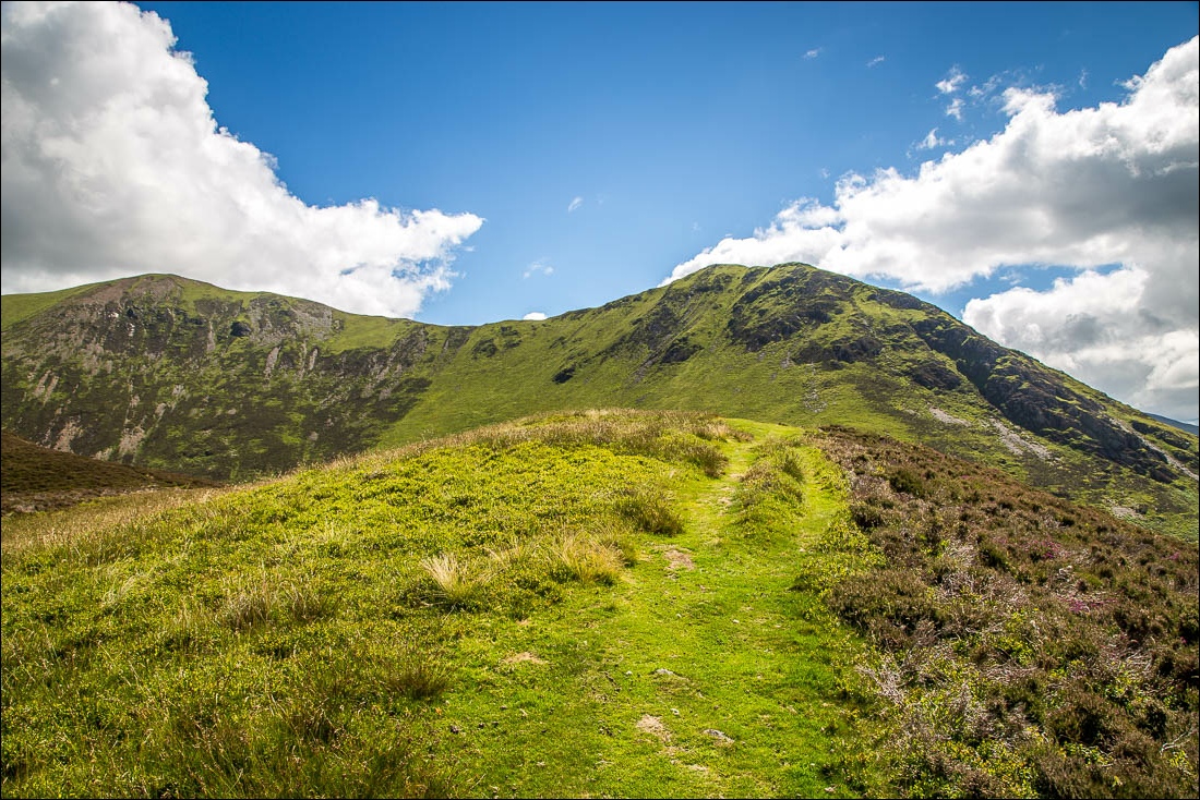
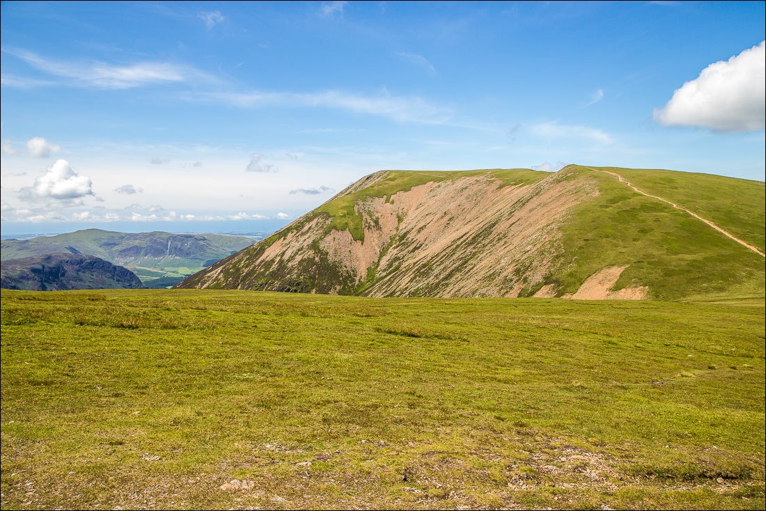
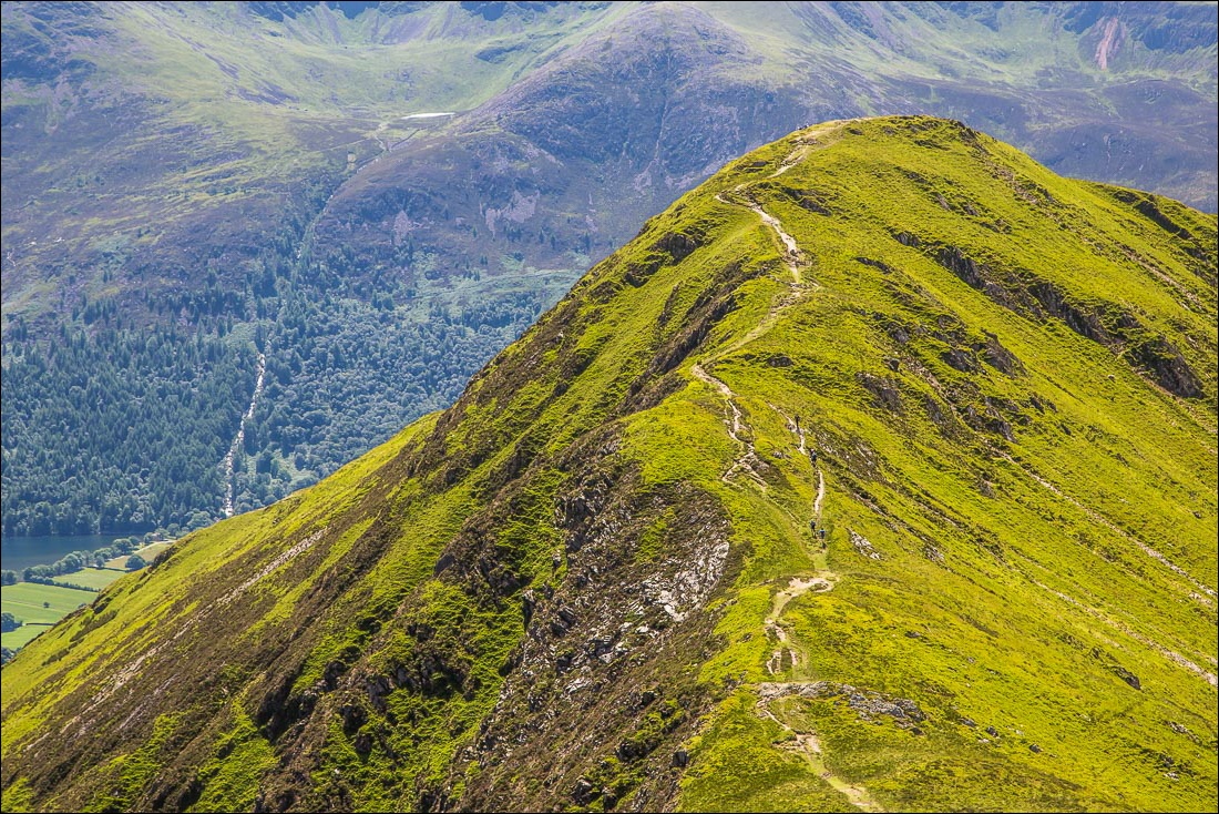
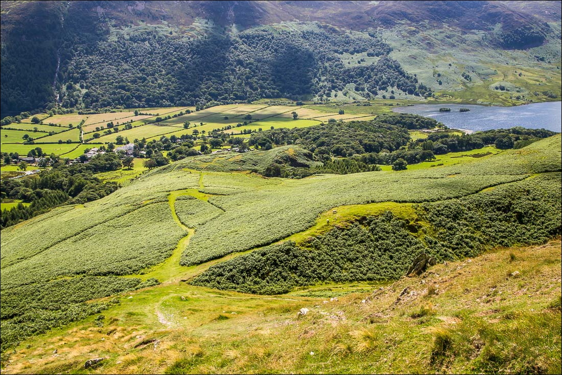
I parked in the small car park at Cinderdale Common, from where the climb up the Lad Hows ridge of Grasmoor starts immediately. There is no respite from the ascent, though it’s fairly easy going until the last steepish section to the summit of the fell, which seems to go on forever
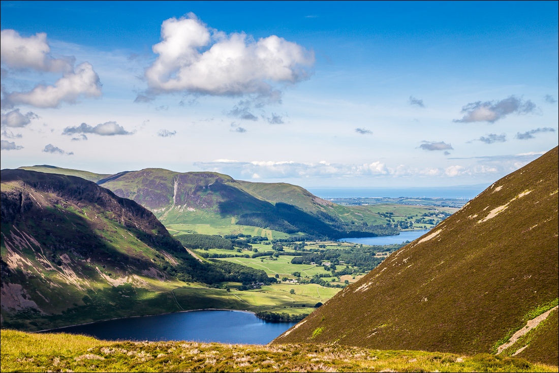
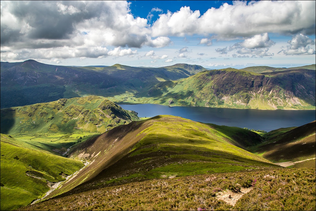
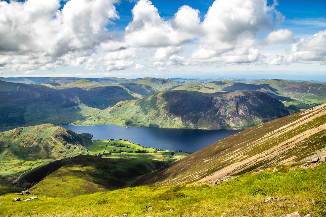
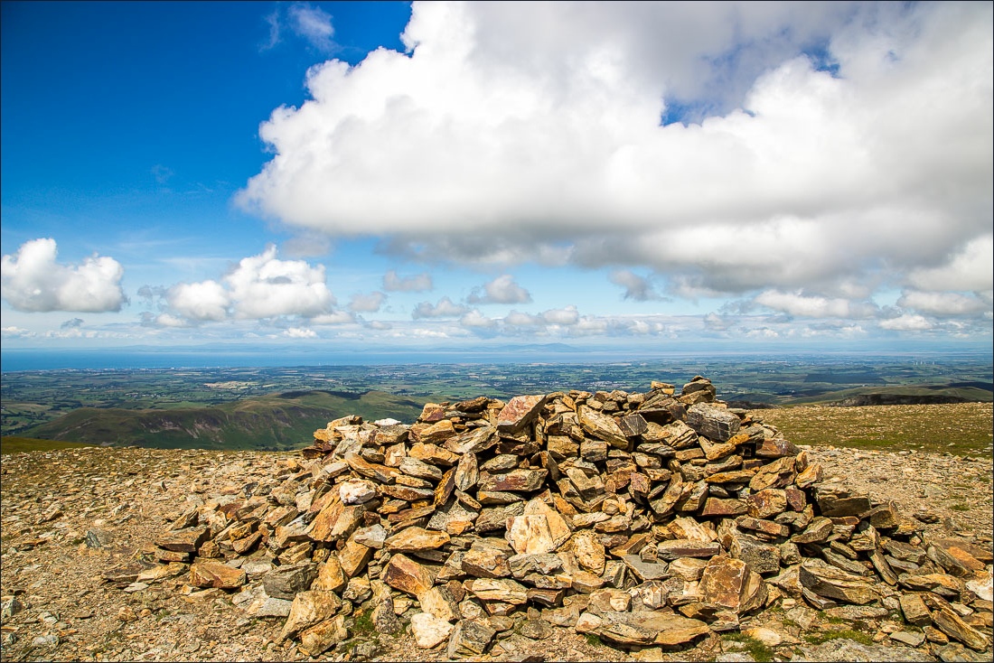
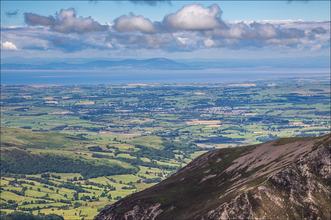
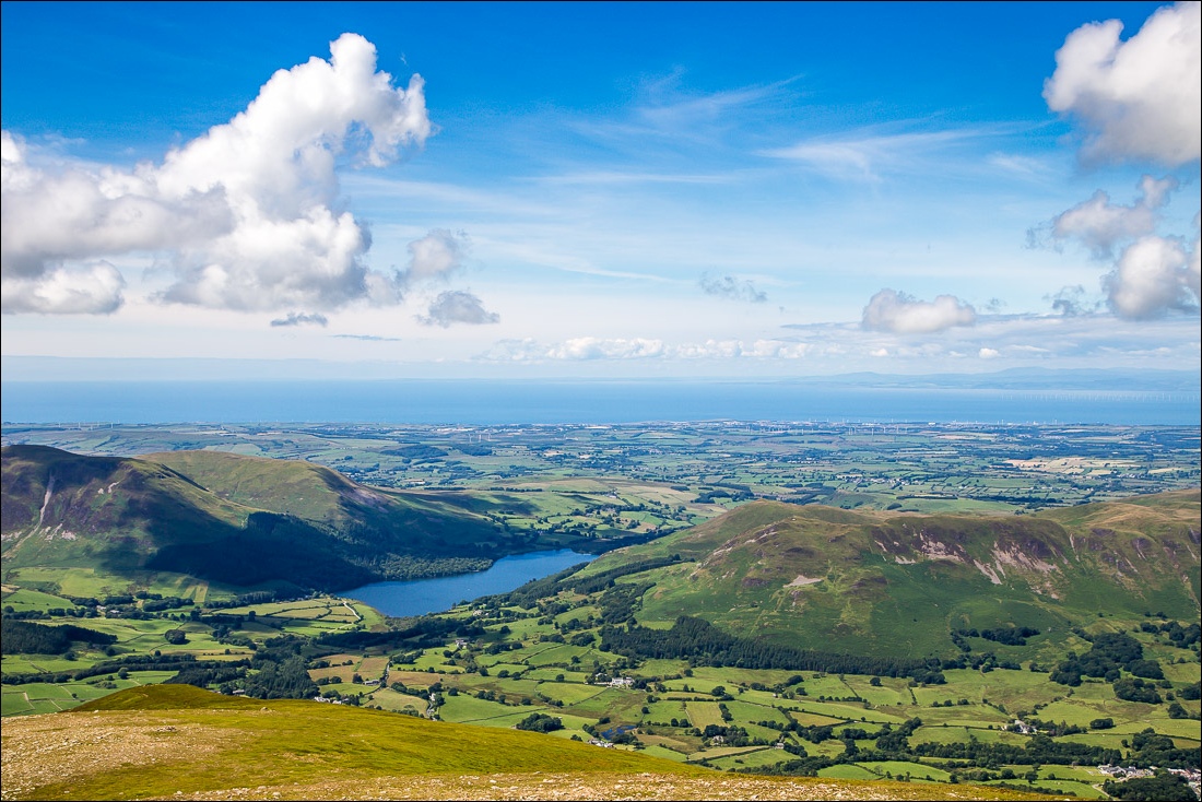
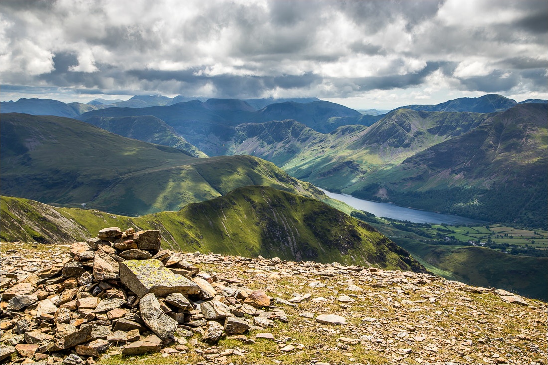
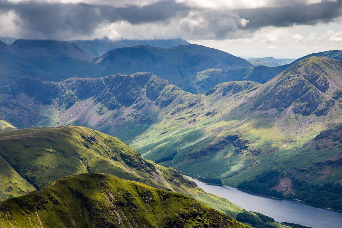
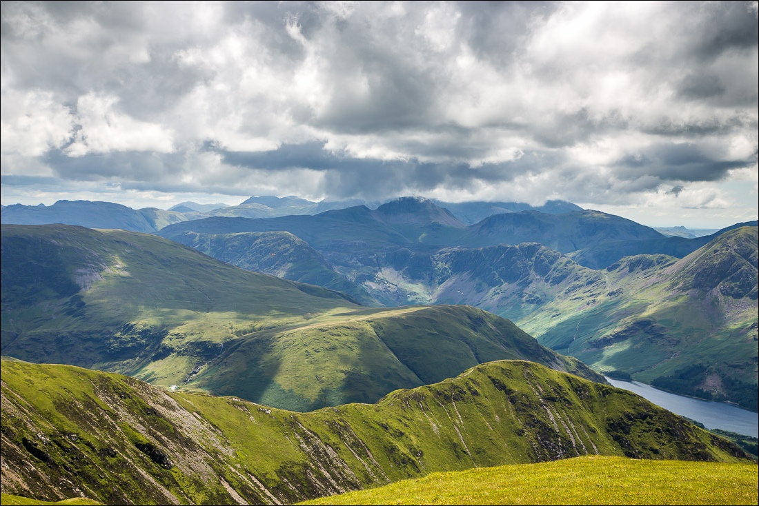
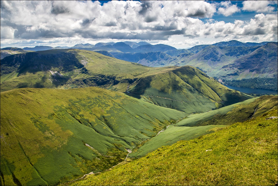
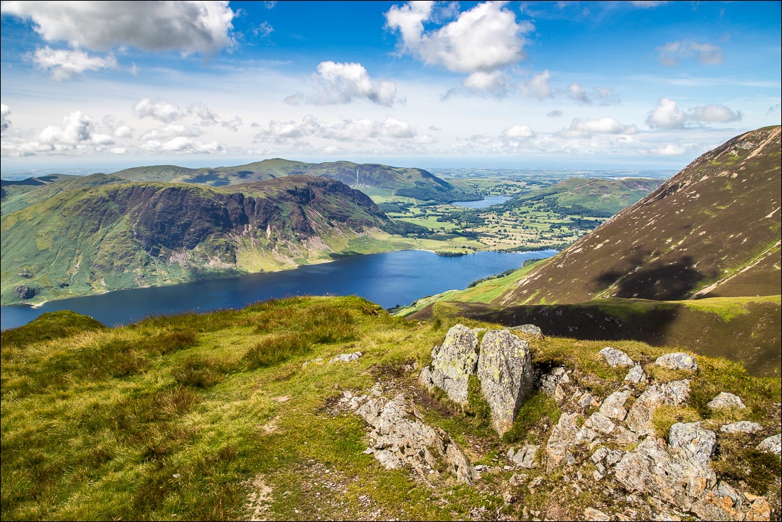
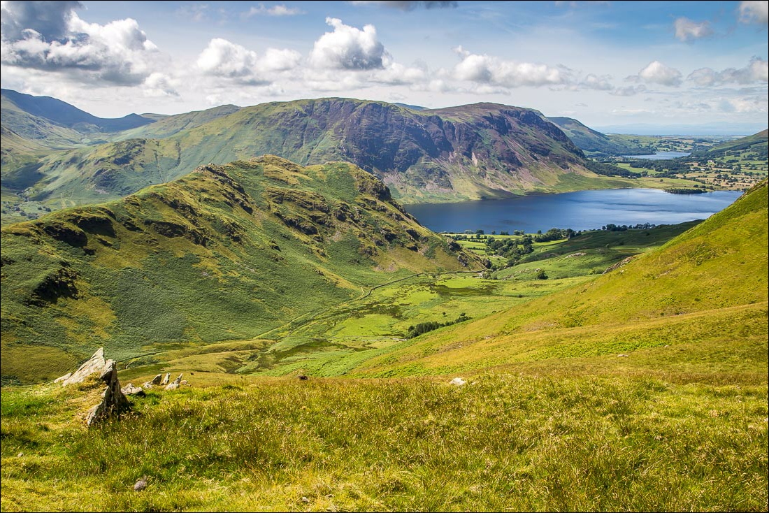
The views from the summit of Grasmoor were superb, and I could clearly see across the Solway Firth into Scotland, with glimpses of the Pennines and the Irish Sea. It was a privilege to be up here on a day such as this
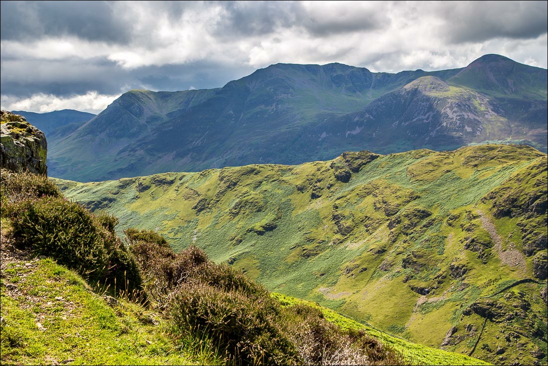
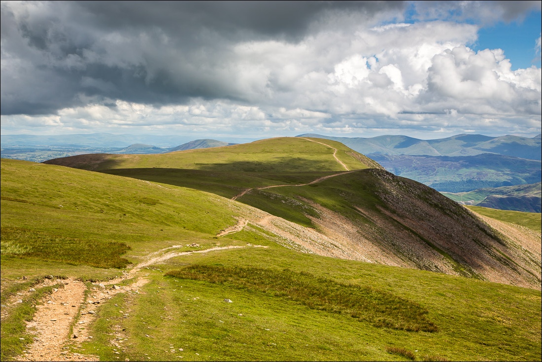
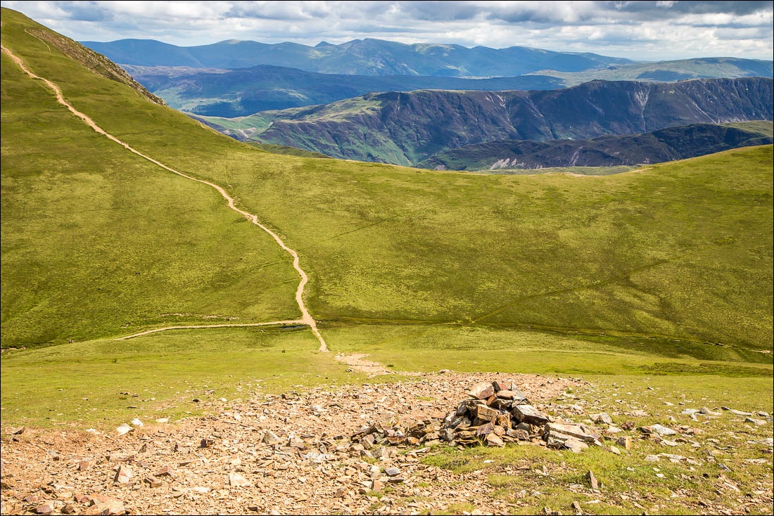
I retraced my steps from the summit for a short distance and then descended to Wandope Moss. I decided to take a short detour to climb up the grassy slopes to the summit of Wandope and from there I descended to Whiteless Edge before the last ascent of the day to the top of Whiteless Pike
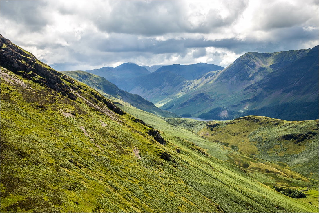
I then descended, quite steeply at times, to the junction at the head of Rannerdale. Having turned sharp right here it was an easy walk down the valley back to the start
The weather was perfect for fellwalking today – good visibility, sun, blue skies and a cooling breeze on the tops helped to make this a special day
For other walks here, visit my Find Walks page and enter the name in the ‘Search site’ box
Click on the icon below for the route map (subscribers to OS Maps can view detailed maps of the route, visualise it in aerial 3D, and download the GPX file. Non-subscribers will see a base map)
Scroll down – or click on any photo to enlarge it and you can then view as a slideshow
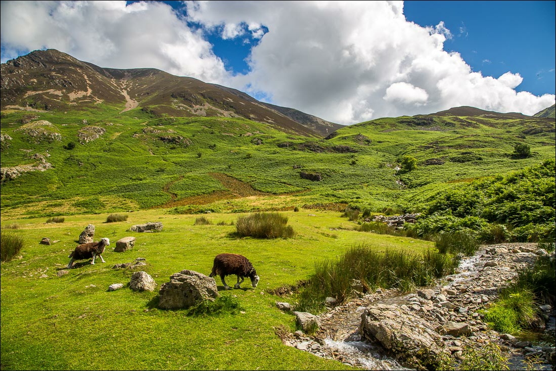
Start of the walk, looking up to Grasmoor. I hop over Cinderdale Beck and follow a path to the right of the beck up the ridge known as Lad Hows
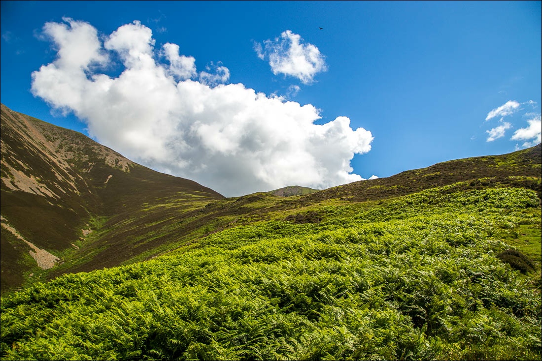
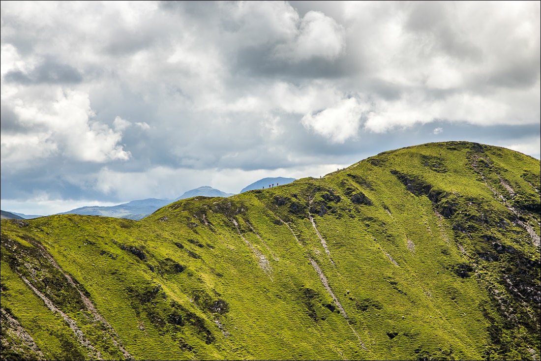
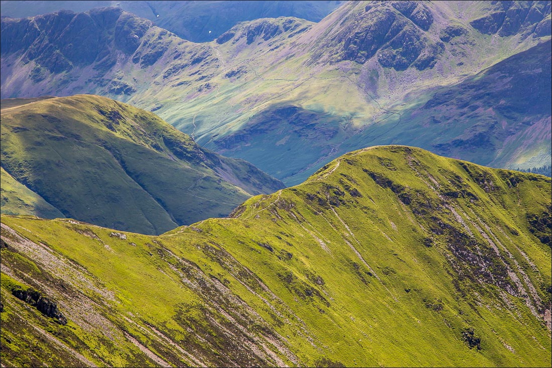
Fairly easy going up Lad Hows, the only steep section being near the top of Grasmoor - a buzzard circling overhead which I didn’t notice when taking the photo
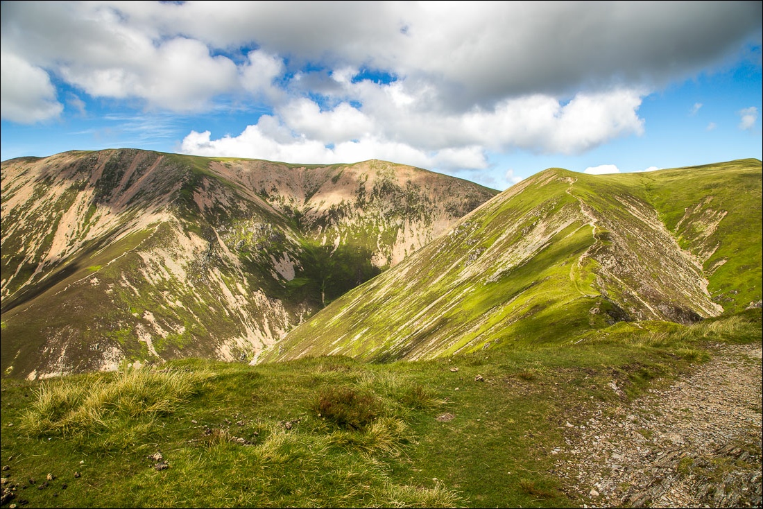
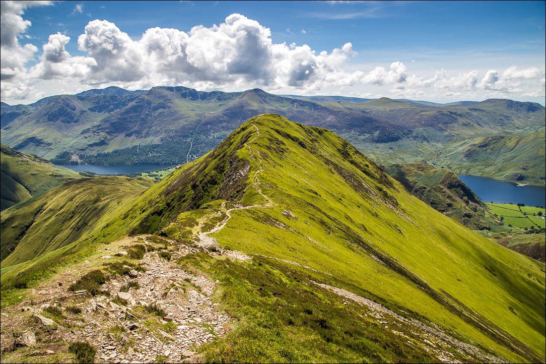
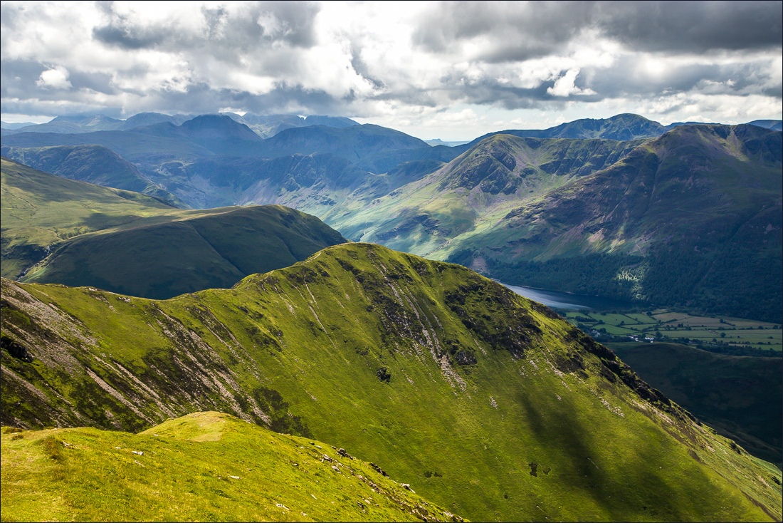
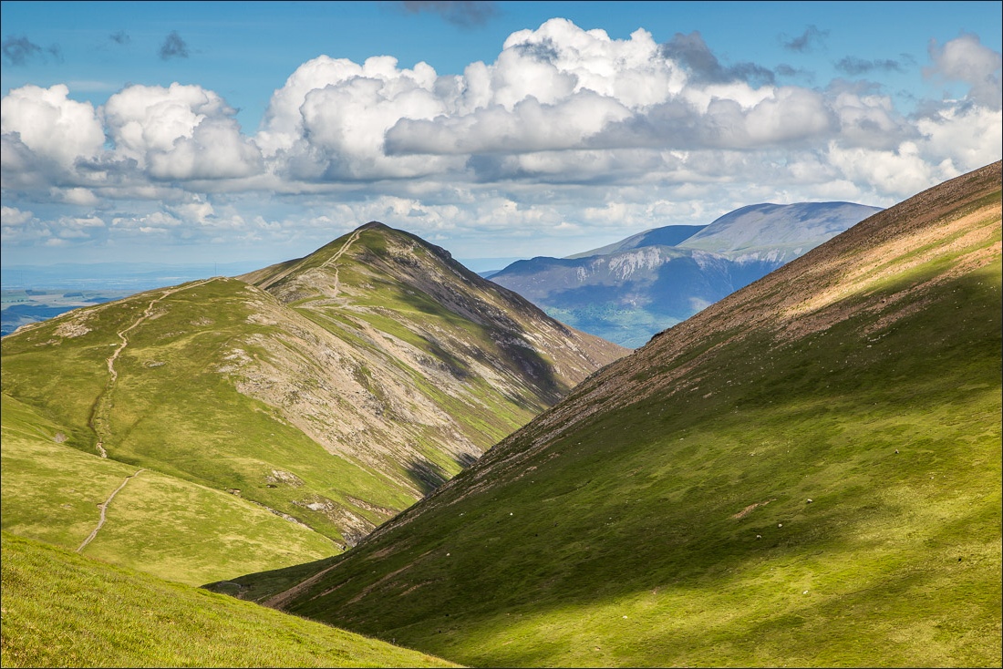
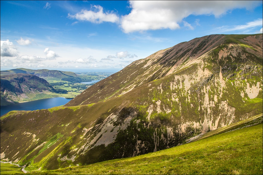
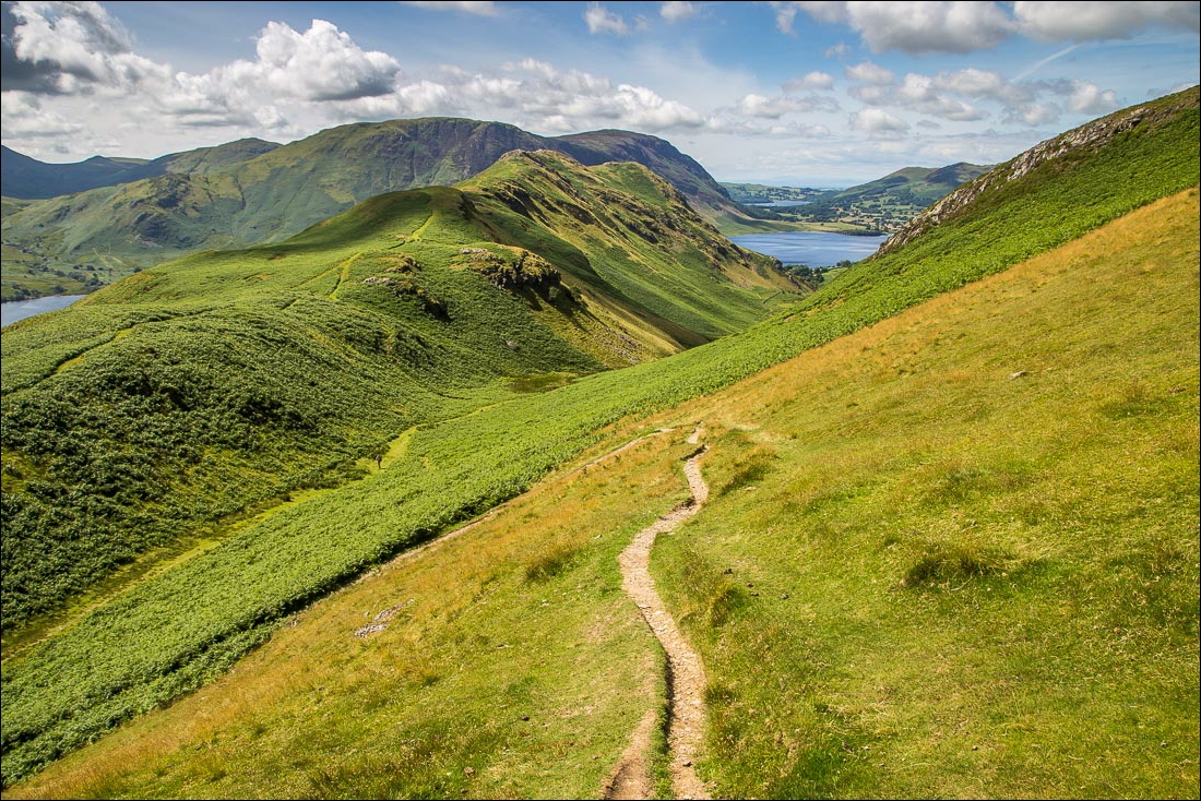
Much of the higher part of the route is shown here - the ridge to Grasmoor left, Wandope far right, and the path leading down to Whiteless Pike
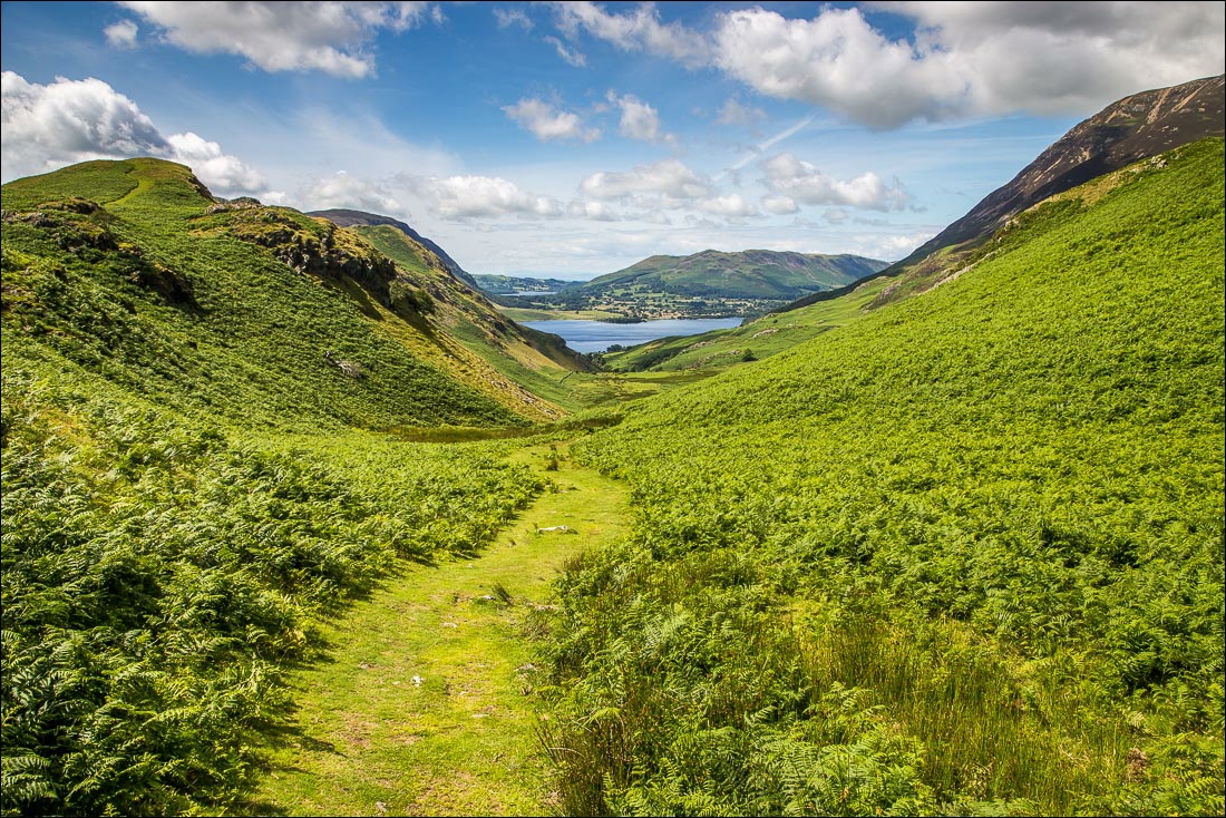
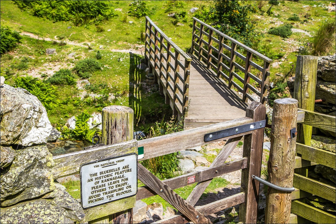
I cross the bridge over Squat Beck to enter into the bluebell area which is a spectacular sight in May
