
Route: Grange Fell
Area: Central Lake District
Date of walk: 9th January 2014
Walkers: Andrew
Distance: 5.1 miles
Ascent: 1,300 feet
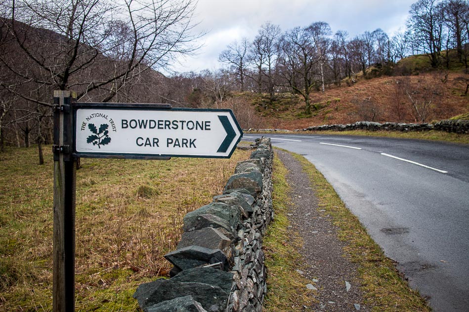
The weather forecast had been negative the night before, and looking out of the window the next day the forecast seemed to be right, with low cloud and some rain. With no high hopes I set off and parked at the Bowderstone car park
As soon as I started the climb the clouds lifted, and by the time I reached the top of King’s How on Grange Fell conditions were almost perfect – sunshine, blue skies, fluffy clouds and crystal clear views
I decided to extend the planned walk and crossed soggy terrain to climb up to Brund Fell and Jopplety How, from where the views were equally good
It clouded up on the descent but no matter, I’d had a fantastic couple of hours in glorious conditions
For other walks here, visit my Find Walks page and enter the name in the ‘Search site’ box
Click on the icon below for the route map (subscribers to OS Maps can view detailed maps of the route, visualise it in aerial 3D, and download the GPX file. Non-subscribers will see a base map)

Scroll down – or click on any photo to enlarge it and you can then view as a slideshow
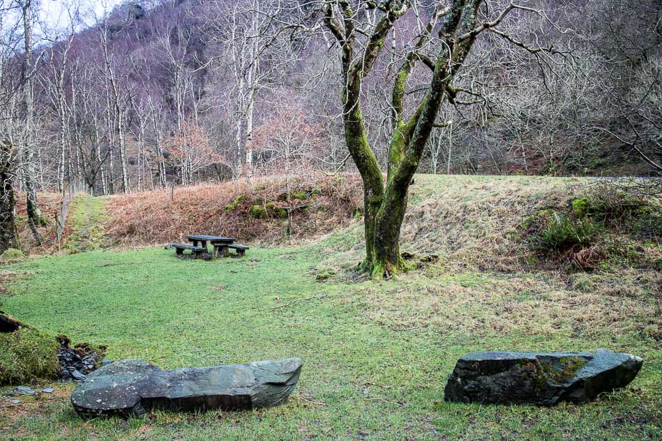
Bowderstone Car Park
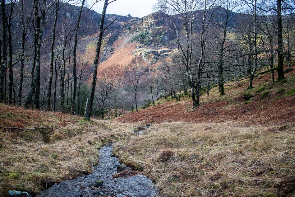
Looking down towards Borrowdale from the way up to King’s How
King’s How is up on the right

Looking back to Castle Crag, one of the Jaws of Borrowdale, King’s How being the other
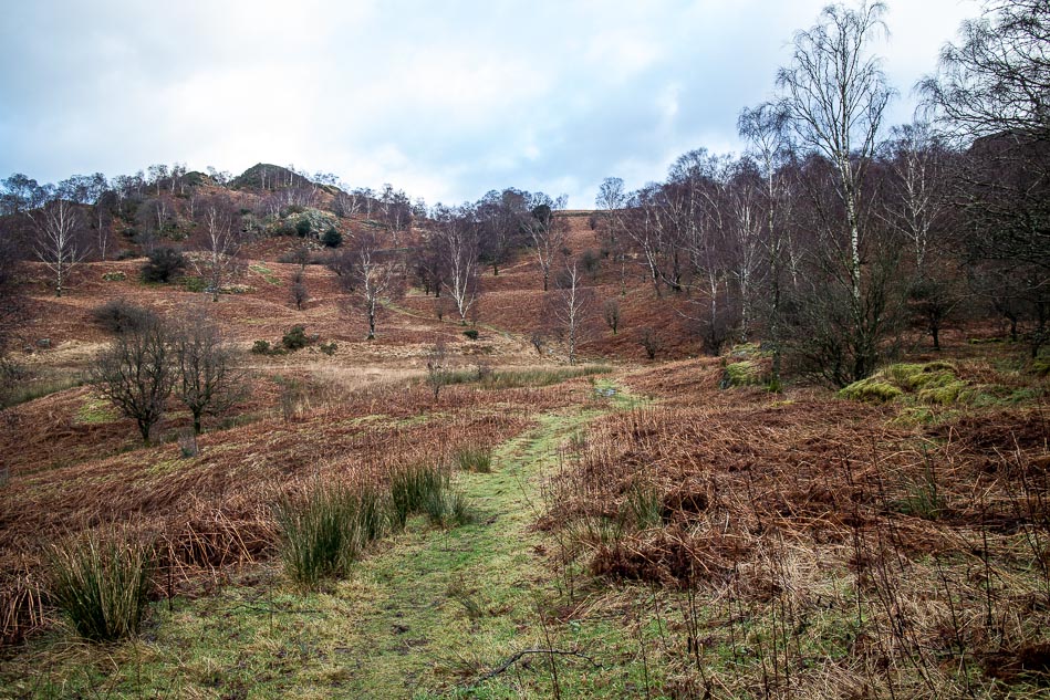
Further along the path

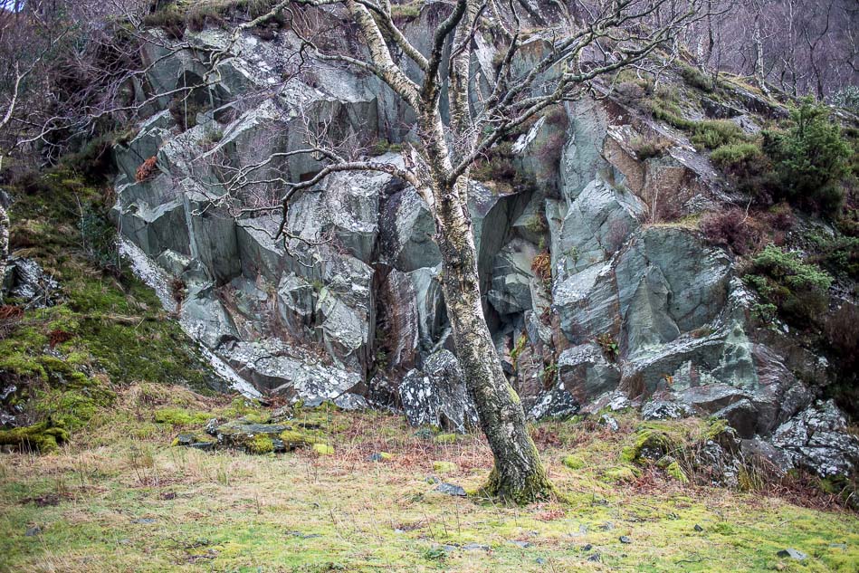
King’s How - a full frontal assault isn’t possible, you have to sneak in via the back door

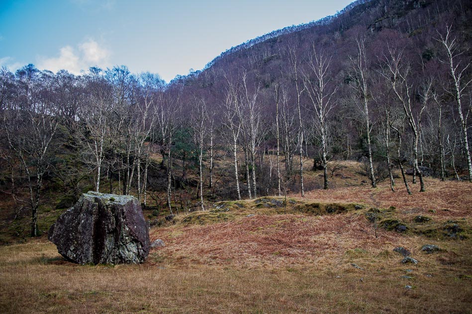
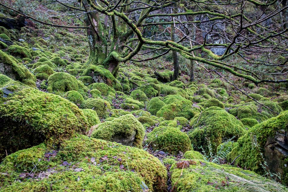
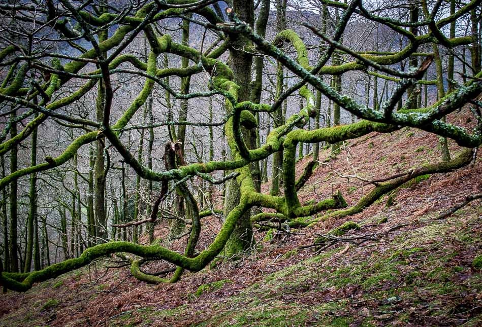
Wonderful colours in the woodland on the way up
As I approach the top of King’s How the weather starts to clear

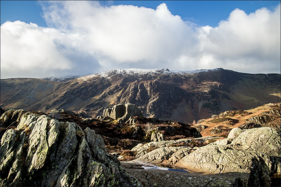
Looking over the valley to Maiden Moor

The conditions are so good that I decide to walk over there to Brund Fell, one of Grange Fell’s other tops
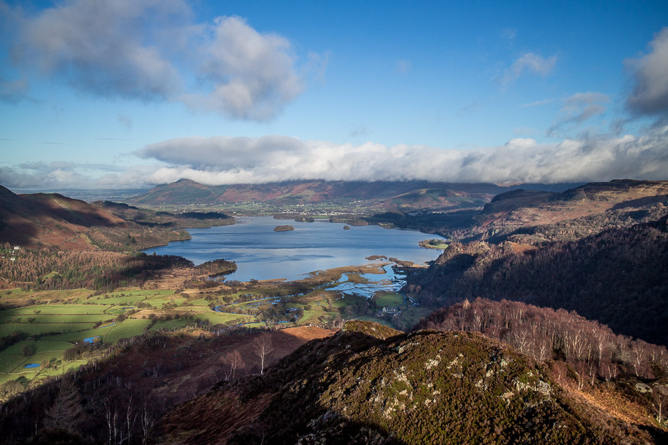
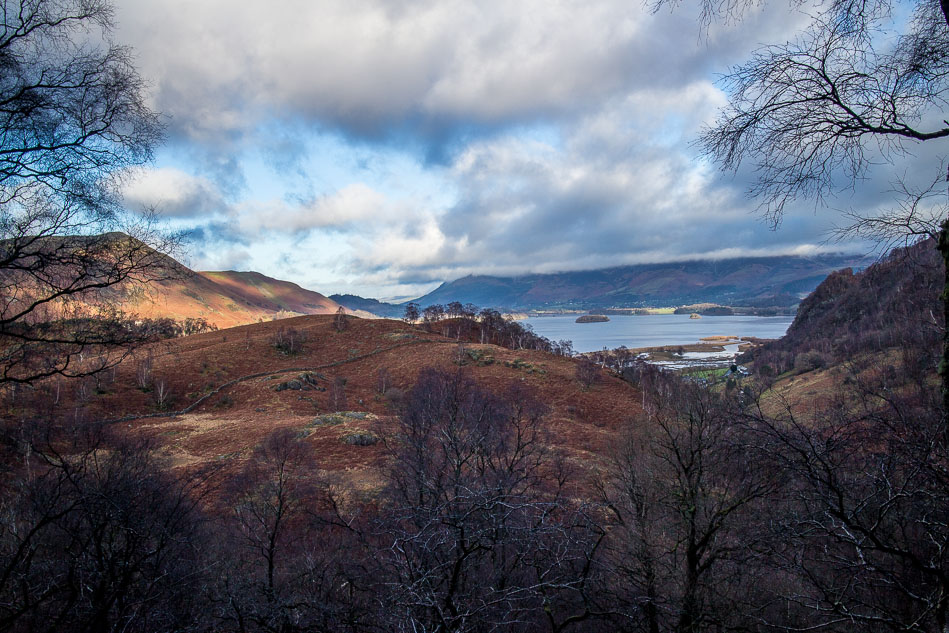
A wow moment as I reach the top - Derwent Water

Grange

Looking back to King’s How, with Maiden Moor in the background

Maiden Moor from Brund Fell

Derwent Water from Brund Fell, with a glimpse of Bassenthwaite beyond

The clouds start to close in as I descend back to valley level

Rosthwaite and the Borrowdale Fells

I follow the sign

Maiden Moor comes into view again
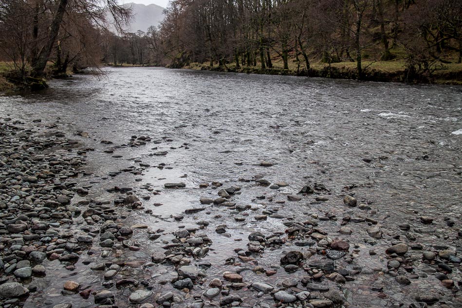
The River Derwent

The delicately balanced Bowder Stone, weighing in at 2,000 tons
Back to the start - what a fantastic walk that was!
