
Route: Glenridding Circular
Area: Eastern Lake District
Date of walk: 16th December 2015
Walkers: Andrew
Distance: 4.8 miles
Ascent: 700 feet
Weather: Cloudy, sunny patches, light drizzle, very warm
The good folk of Glenridding have suffered particularly badly from the devastating flooding caused by Storm Desmond, having been flooded twice in the space of five days
Like many places in the Lake District, the village is dependent on tourism and I wanted to do my bit to show that the area is very much open for business (and for walking) and that its beauty has not been diminished – contrary to the impression given by many of the dramatic news stories
I parked in the centre of the village, a hive of activity as diggers cleared Glenridding Beck which had burst its banks during the floods, causing most of the damage. I followed the course of the beck and crossed it via Rattlebeck Bridge. As I gained height there were lovely retrospective views back over Glenridding
I followed the path up to Lanty’s Tarn, a well known local beauty spot, and then descended into Grisedale. There were good views along the valley towards some of lakeland’s finest fells, though their tops were shrouded in cloud today. I walked towards Patterdale along a path below Birks and Glenamara Park – a beautiful section of the walk
The final leg took me back over Grisedale Beck and then along a path beside the road back into Glenridding. Once back in the village I bought some Christmas presents at the excellent walking shop Catsycam
It had been a great walk – the scenery was beautiful throughout as I hope the photos will convey, and I wasn’t inconvenienced in any way by the floods. If anyone is thinking of coming to this place there is no reason to defer your visit – in fact I’d urge you to come now and show your support
For other walks here, visit my Find Walks page and enter the name in the ‘Search site’ box
Click on the icon below for the route map (subscribers to OS Maps can view detailed maps of the route, visualise it in aerial 3D, and download the GPX file. Non-subscribers will see a base map)

Scroll down – or click on any photo to enlarge it and you can then view as a slideshow

Red squirrel visiting for breakfast before I set off this morning


As I drove along the shore of Ullswater there were some dramatic views across the lake…


The start of the walk - Glenridding Beck which had cut a swathe through the village a few days ago

Having left the village I cross the beck via Rattlebeck Bridge

Diggers on both sides of the bridge clearing out the beck…


Rainbow over Glenridding - hopefully a sign of better things to come

I follow a path uphill towards Lanty’s Tarn

Looking back along Glenridding valley towards Raise and Stybarrow Dodd

Such an inviting path

Looking back to Glenridding and Ullswater

Bonnie - and Place Fell in the background

Keldas

Lanty’s Tarn - the outflow is dammed at the far end

I follow the path beside the tarn

Bracket fungus


I descend into Grisedale

Grisedale Beck

Looking along Grisedale

I follow the track to the bridge over Grisedale Beck


Eagle Crag and Nethermostcove Beck

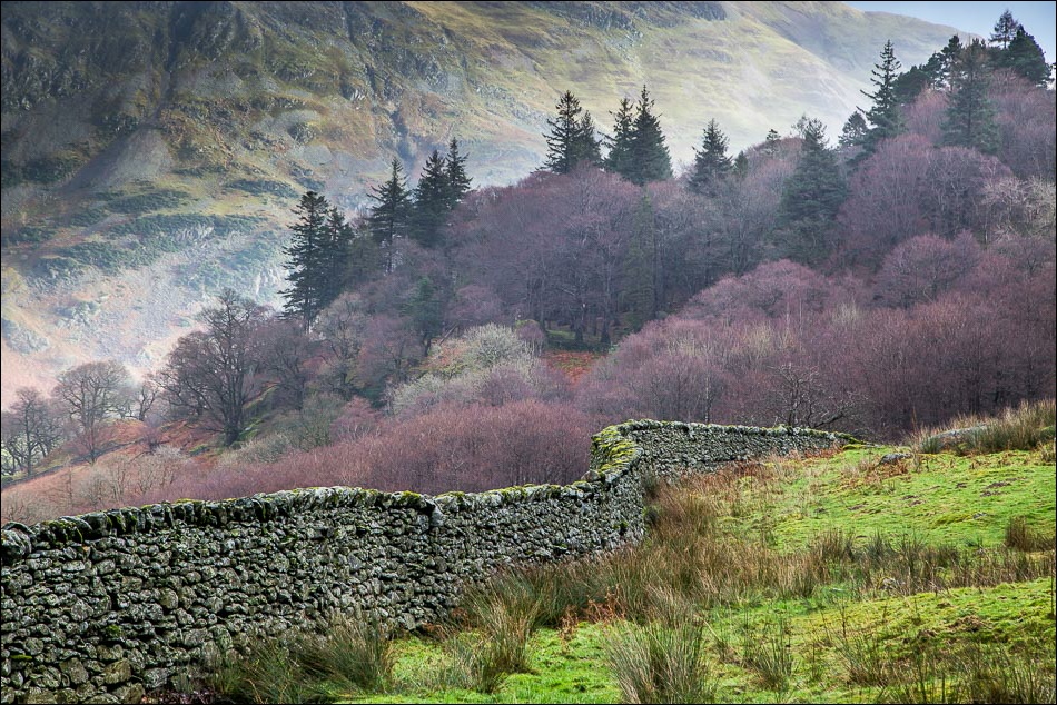
I pass by an old barn and turn left at the wall beyond it

Looking back along Grisedale to Nethermostcove Beck


I follow a path in the direction of Place Fell

Ullswater

Place Fell

Looking across to Keldas

More views of Place Fell…


Rooking, on the far side of Patterdale

Descending towards Home Farm


Back down to valley level

I follow the path beside the road back to Glenridding village

The end of a great walk and time to go Christmas shopping

