
Route: The Fairfield Horseshoe
Area: Eastern Lake District
Date of walk: 3rd March 2013
Walkers: Andrew and James
Distance: 12.1 miles
Ascent; 3,600 feet
This is a classic round taking in a total of 8 fells.
We parked in the centre of Ambleside and walked out through the sylvan grounds of Rydal Park and up to the first summit Nab Scar (1,450 feet). There then followed, in order of appearance, Heron Pike (2,003 feet), Great Rigg (2,513 feet), Fairfield (2,863 feet), Hart Crag (2,698 feet), Dove Crag (2,603 feet), High Pike (2,155 feet) and finally Low Pike (1,657 feet)
The was plenty of snow around, but it was overcast at times, and there was a haze in the air which detracted from the long distance views. A great day out all the same.
For other walks here, visit my Find Walks page and enter the name in the ‘Search site’ box
Click on the icon below for the route map (subscribers to OS Maps can view detailed maps of the route, visualise it in aerial 3D, and download the GPX file. Non-subscribers will see a base map)

Scroll down – or click on any photo to enlarge it and you can then view as a slideshow

After leaving Ambleside, the path takes us through the idyllic pastures of Rydal Park

Looking ahead to the first fell, and the smallest of the eight on the round, Nab Scar

James takes a photo looking back to Ambleside and Windermere

Rydal Water and Grasmere

This raven accompanied us along the first leg of the walk, all the way to Fairfield, encouraged by the occasional titbit we offered it

The horseshoe shape of the walk becomes clear

A dry stone wall runs along both sides of the valley - not quite the Great Wall of China but a great achievement nonetheless

As we neared Fairfield the clouds came in but it was a false alarm and we weren’t troubled by mist

Taken by a friendly fellow walker (wearing shorts!) on Great Rigg

A view back to Windermere

Approaching Fairfield - the snow was frozen solid and we tried to avoid it wherever we could

A ray of sunshine

On the summit of Fairfield, our friend the raven is back for more

After leaving Fairfield, and on the way up to Hart Crag, we were overtaken by a fell runner in shorts and T shirt

Looking back to Fairfield

There was still plenty of snow around at these higher levels

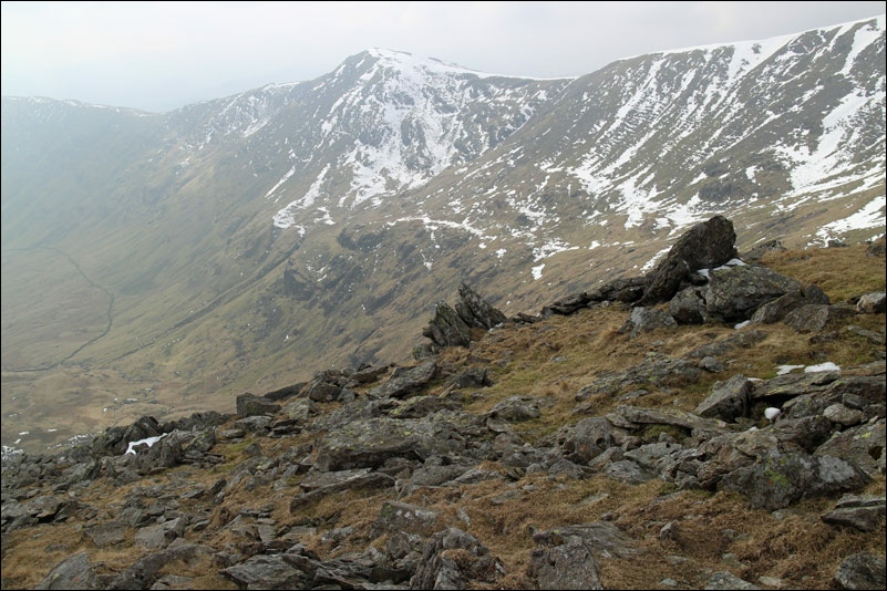
Fairfield

Looking east to Red Screes

Looking back up to High Pike

Windermere

Scandale

Nearly back to Ambleside

Bridge House Ambleside
