
Route: Crummock Water and Rannerdale Knotts
Area: North Western Lake District
Date of walk: 23rd February 2013
Walkers: Andrew, Gilly, Phil, Denise and David
Distance: 9.7 miles
Ascent: 1,200 feet
We parked in the National Trust car park at the head of Crummock Water and walked round the lake clockwise. Andrew Gill and David went up and over Rannerdale Knotts while Phil and Denise climbed up Low Bank. We met up again at the valley head
We then descended to Buttermere village and refuelled at the recently refurbished Croft House cafe before completing the circuit of the lake
It was a beautiful walk in varied weather, some light snow and some sunshine
For other walks here, visit my Find Walks page and enter the name in the ‘Search site’ box
Click on the icon below for the route map (subscribers to OS Maps can view detailed maps of the route, visualise it in aerial 3D, and download the GPX file. Non-subscribers will see a base map)

Scroll down – or click on any photo to enlarge it and you can then view as a slideshow

At the start of the walk at the head of Crummock Water - Denise, Phil, David, Gilly and Andrew

The boathouse

High Stile Range in the background

The lake was very calm today

Rannerdale Knotts ahead

The bluebells will put on a spectacular display later in the year, and we’ll be back to see them

David with Auntie Gilly at the start of the climb up Rannerdale Knotts

Crummock Water, with Loweswater coming into view

Further up Rannerdale Knotts, Red Pike and High Stile

Folllowing the ridge line of Rannerdale Knotts

Buttermere

Buttermere village and lake, High Stile Range in the background

Denise, on the return leg along the west shore of Crummock Water

Looking back at Fleetwith Pike

Crummock Water, looking lovely in this light


Further along the west shore of the lake

Whiteside on the left and Grasmoor on the right

Rannerdale Knotts, which we climbed earlier, is the fell in the foreground

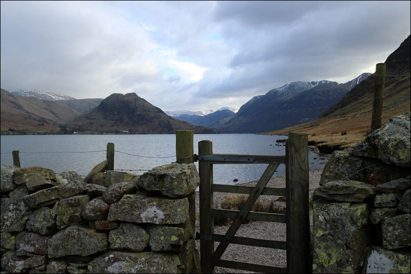
Back at the head of Crummock Water - a special place

Can’t we stay a bit longer?.....
