Route: Circuit of Crummock Water
Area: Western Lake District
Date of walk: 6th July 2017
Walkers: Andrew and Gilly
Distance: 8.4 miles
Ascent: 800 feet
Weather: Light cloud, very hazy
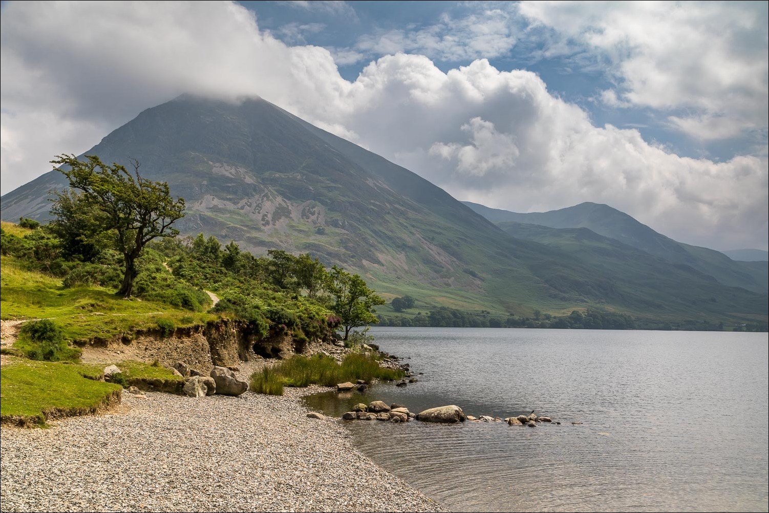
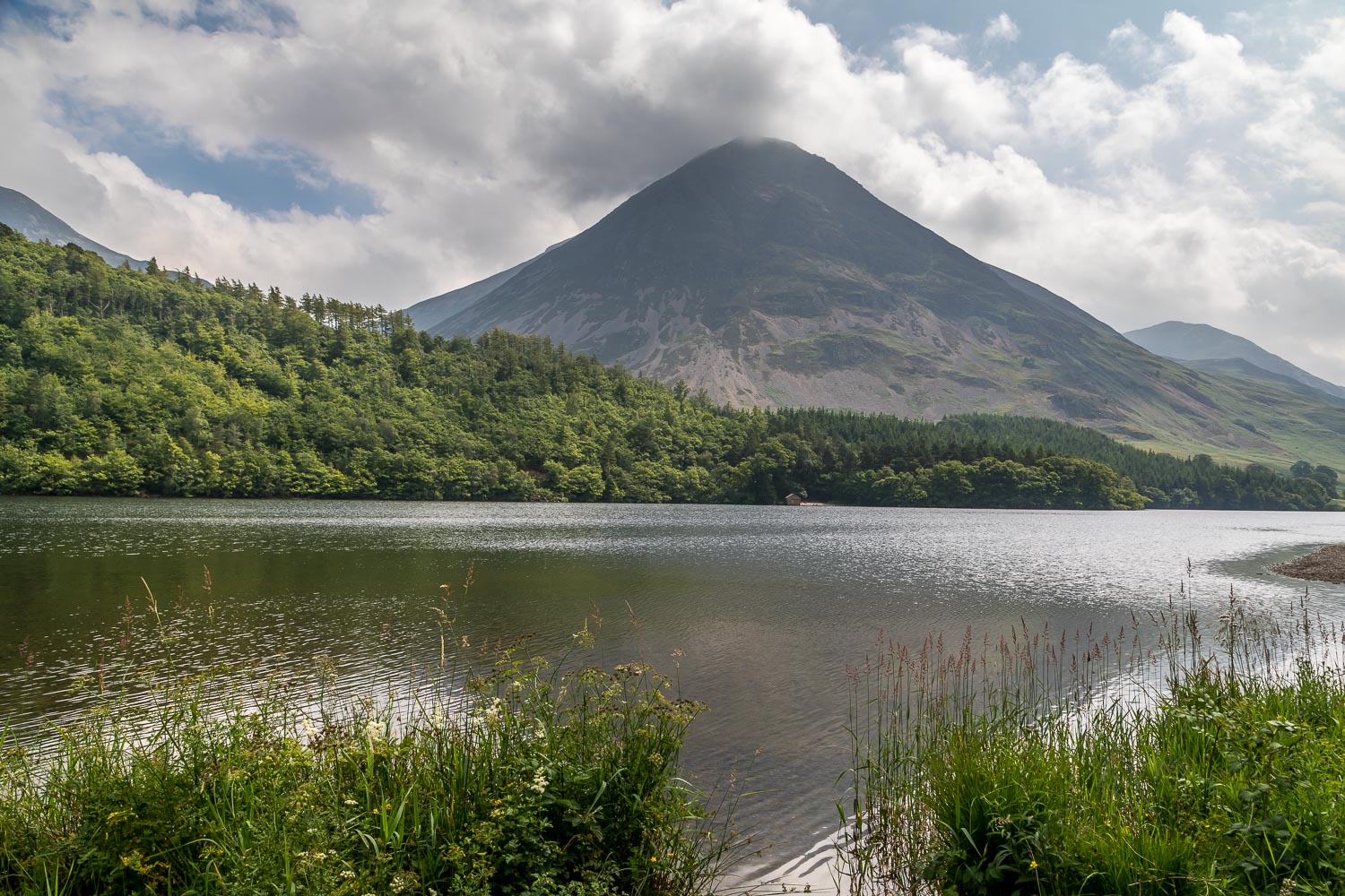
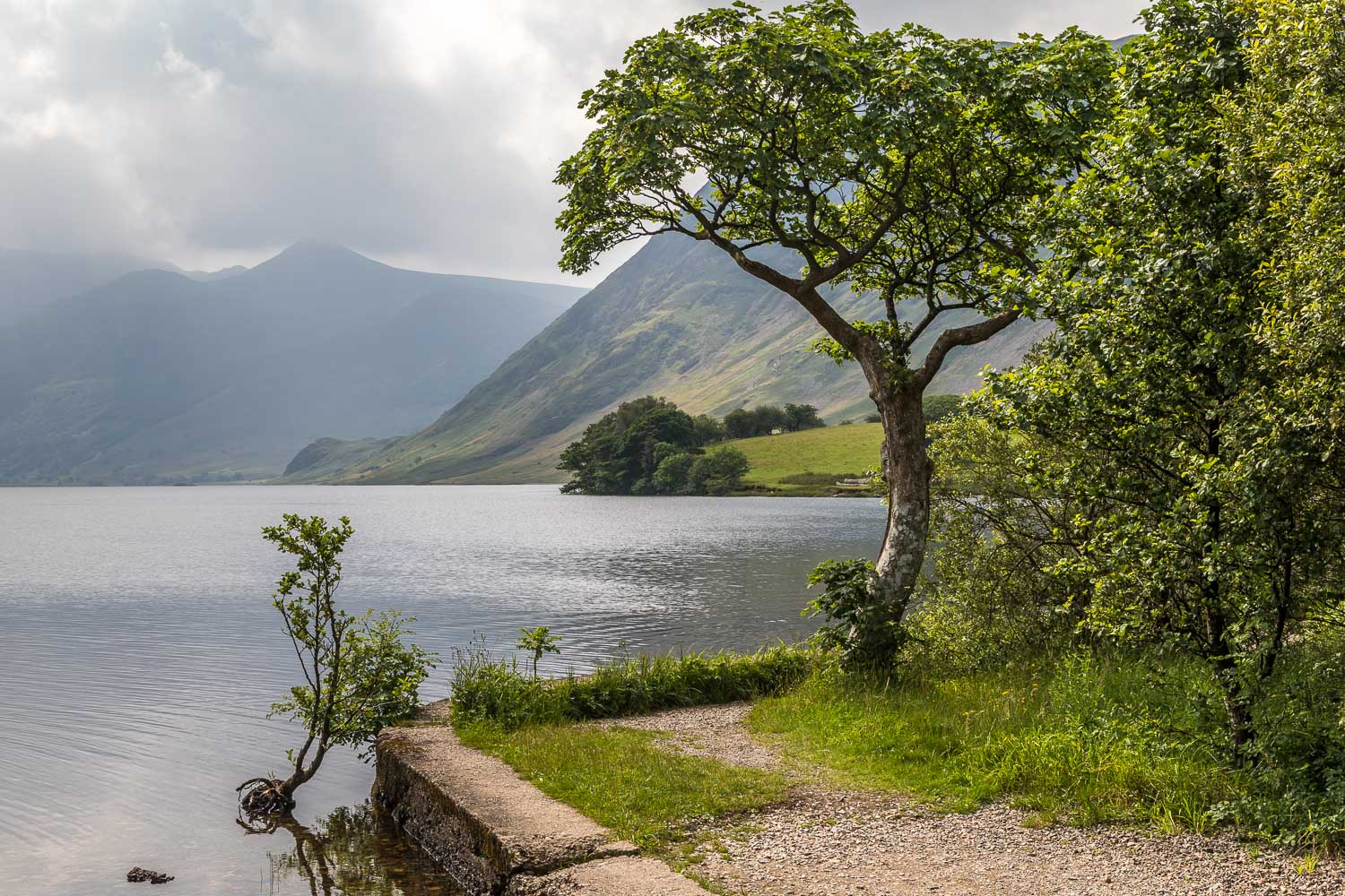
We’d planned a fell walk today, but the weather was so hazy that the views would have been almost non-existent, so we decided to walk round Crummock Water – a beautiful circuit whatever the weather
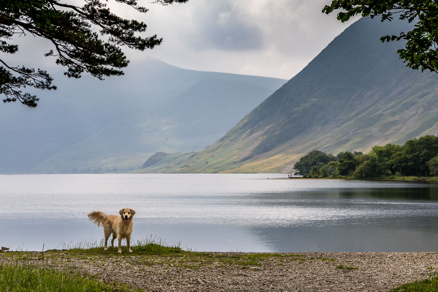
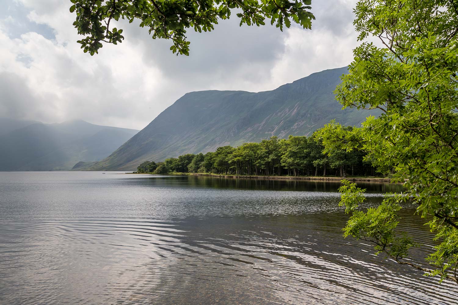
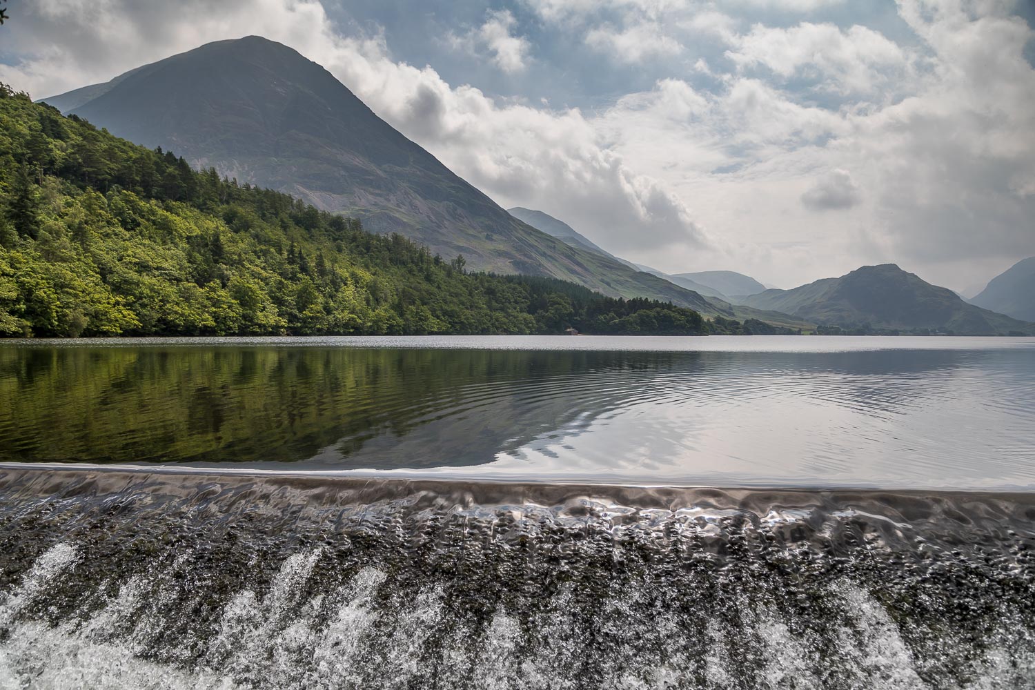
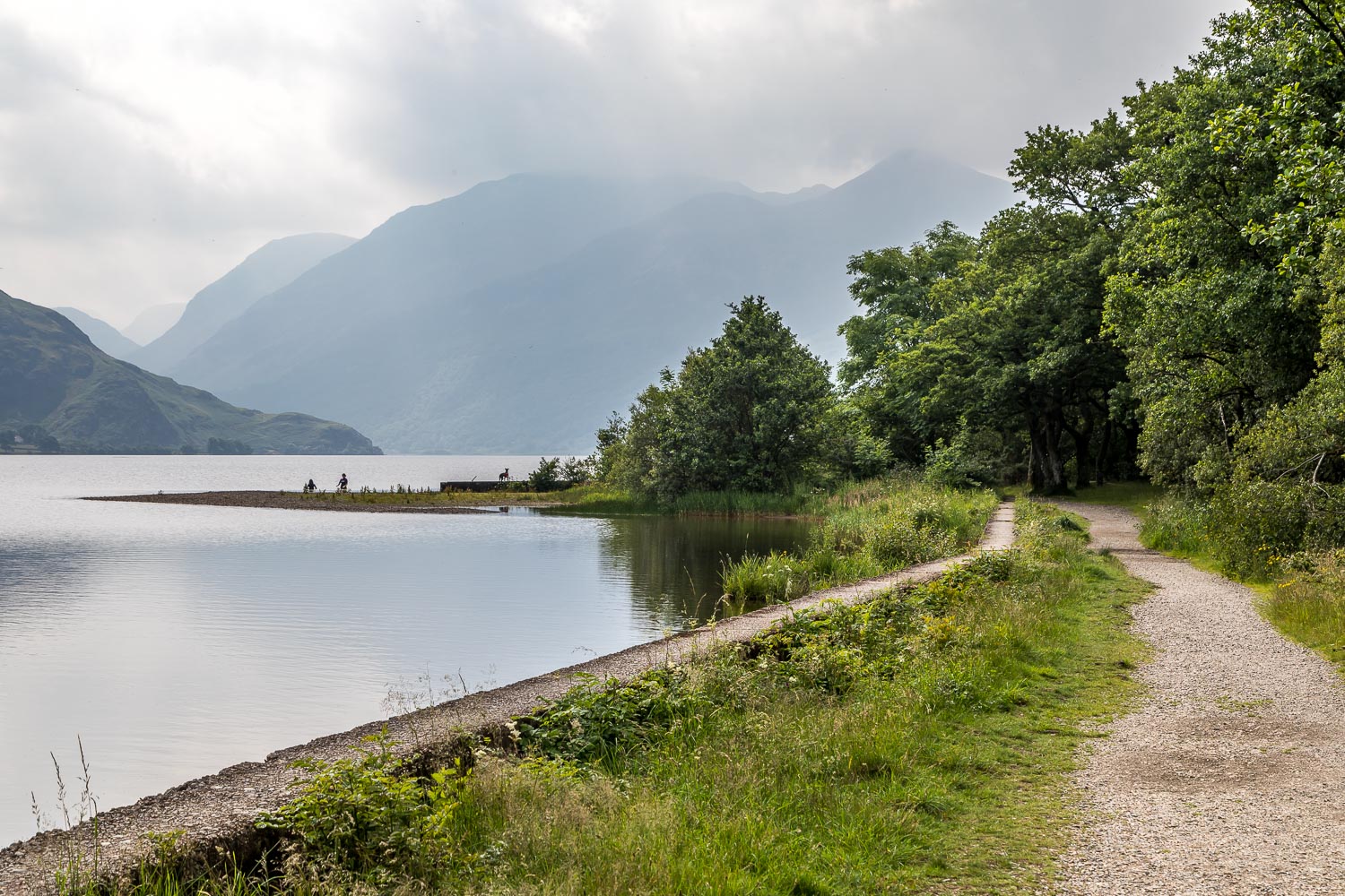
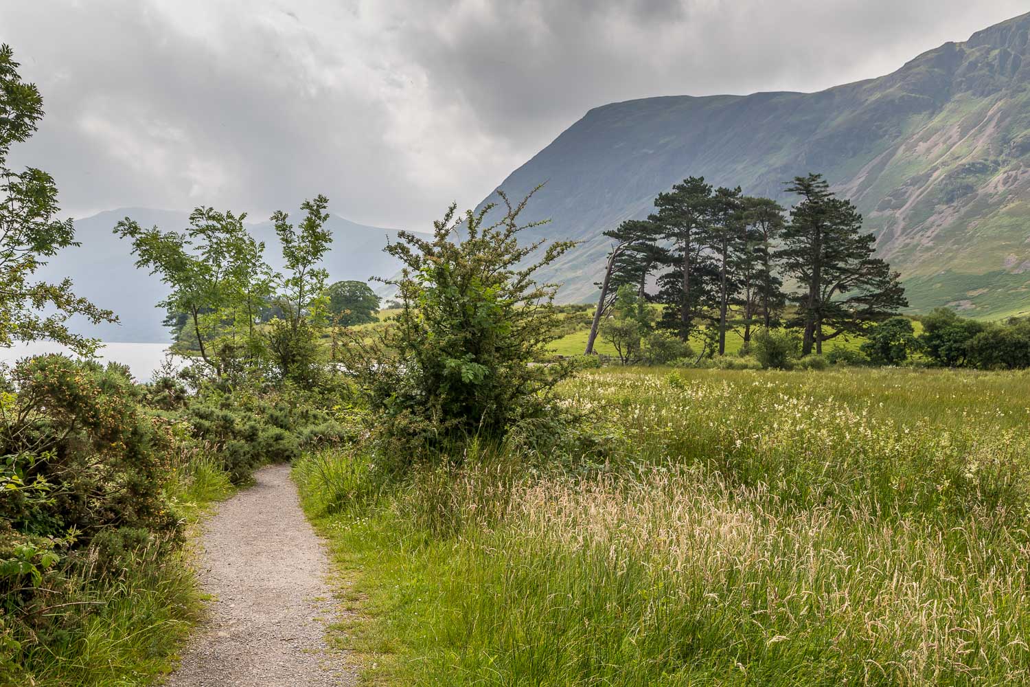
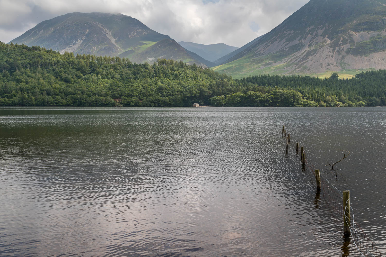
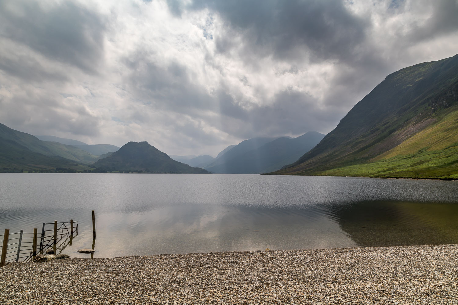
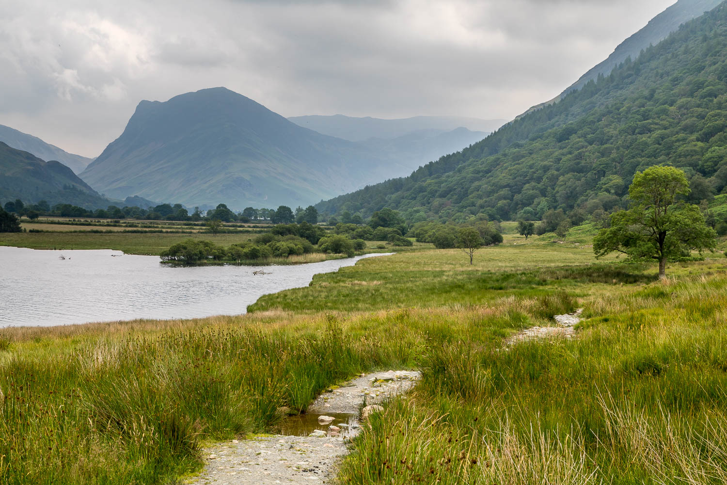
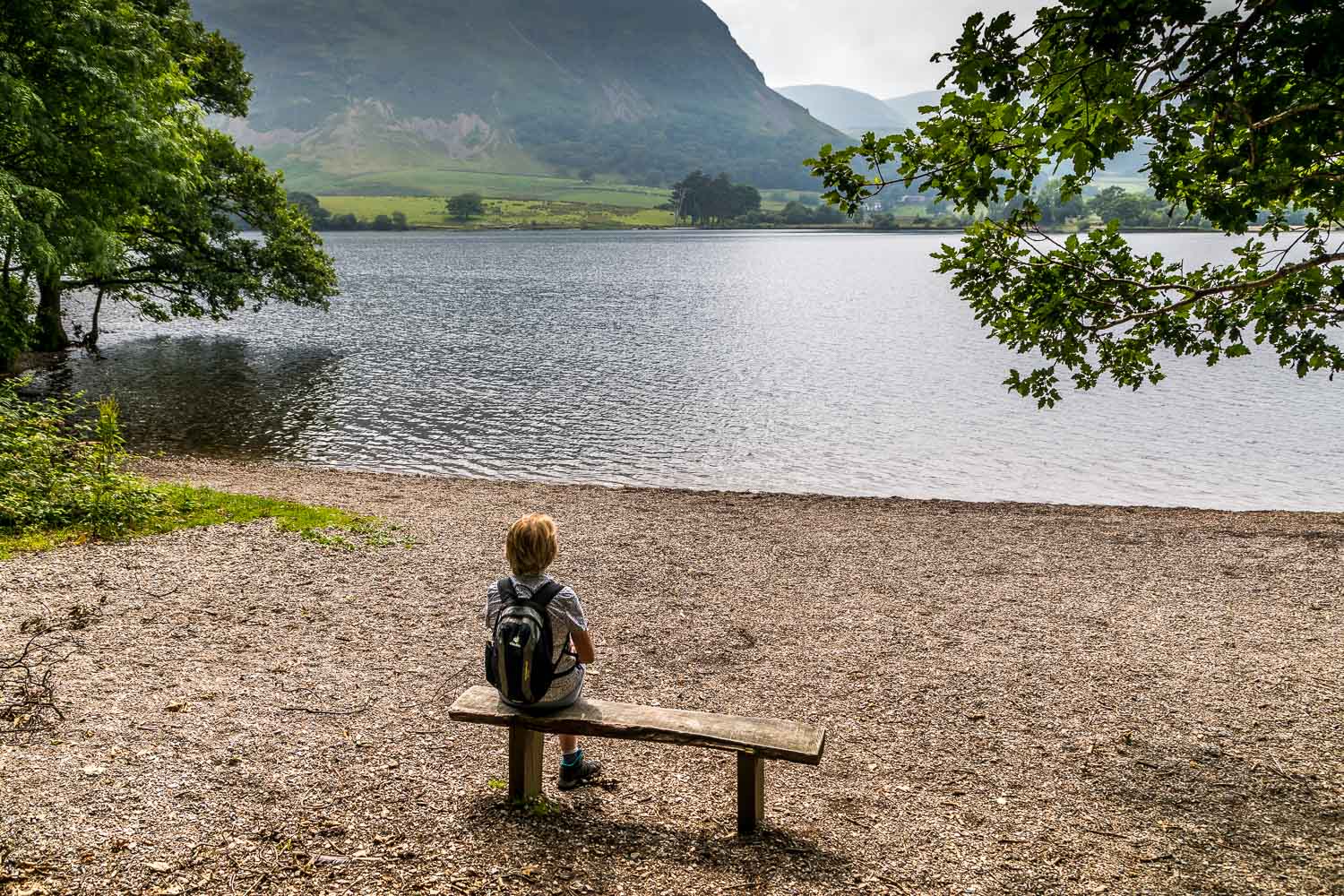
We parked in the National Trust car park at Scale Hill and followed the track to the foot of the lake. We set off in an anti-clockwise direction as the views down the lake are more extensive in that direction
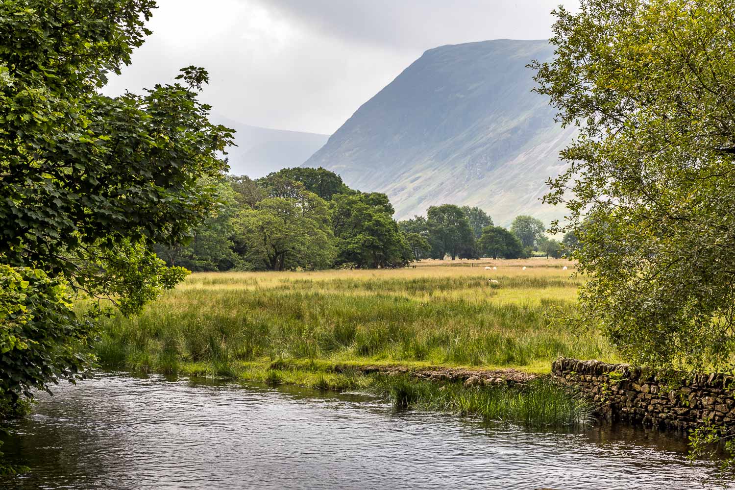
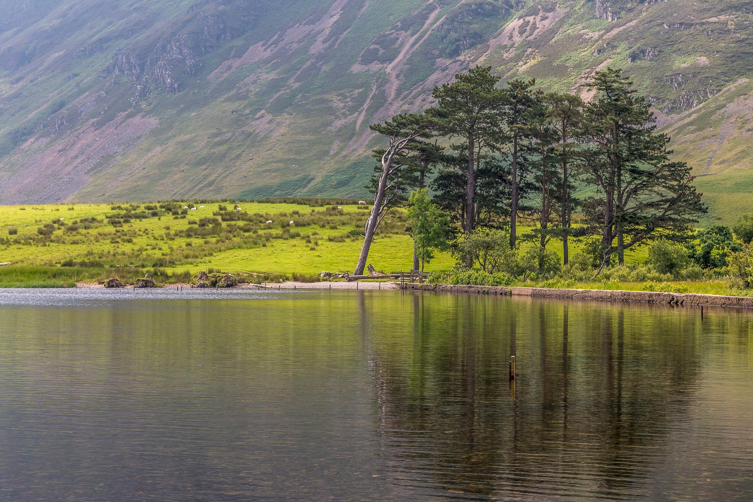
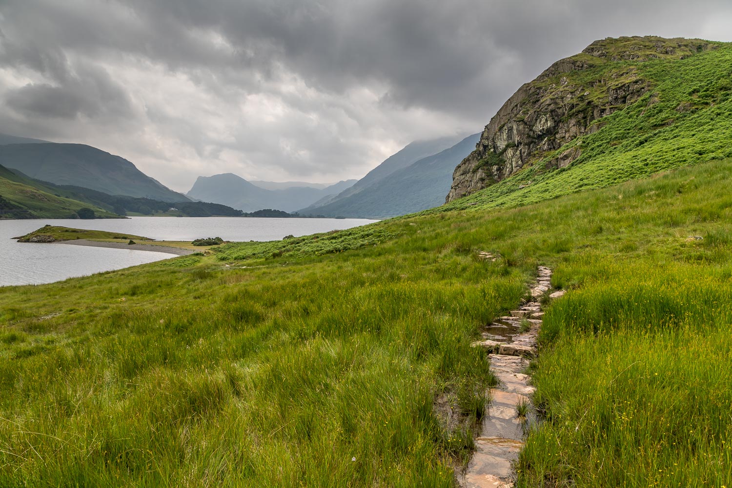
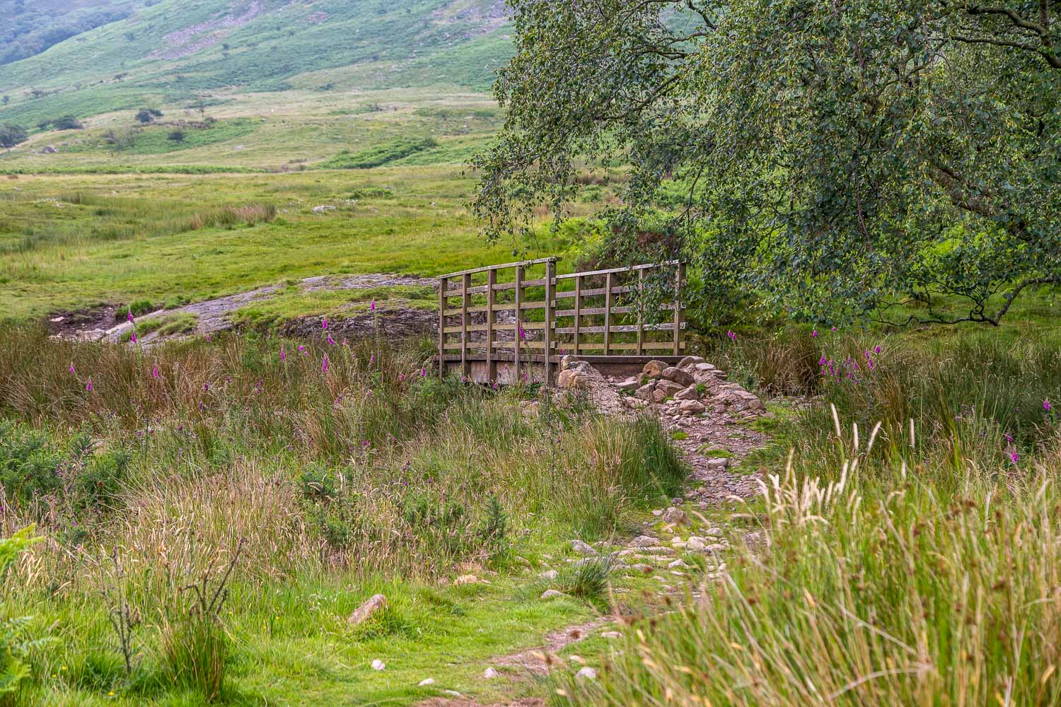
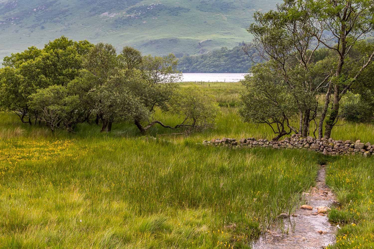
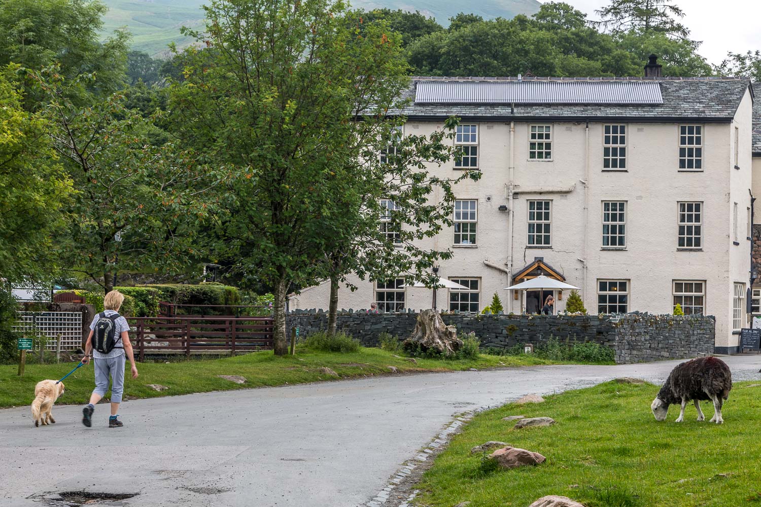
After walking across the foot of the lake we followed the path beside Mellbreak. This is boggy at the best of times, and anyone walking this route in trainers will soon have wet feet. Beyond the head of the lake we crossed Scale Bridge and walked into Buttermere village. The Bridge Hotel, which is dog-friendly, provided us with some excellent refreshment at this half way point
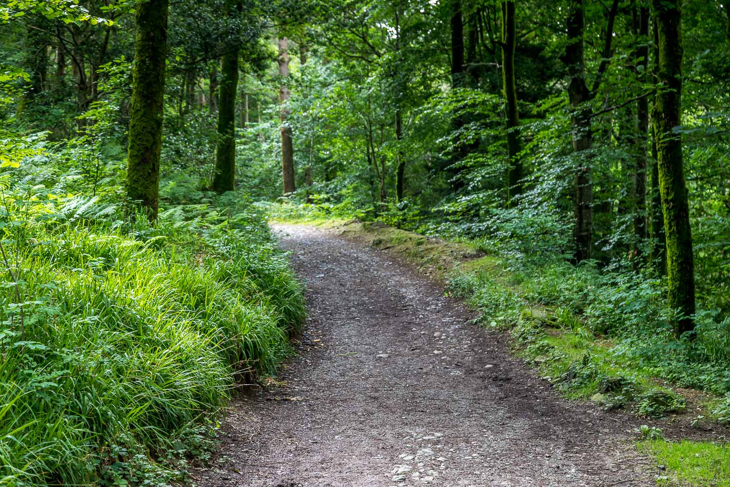
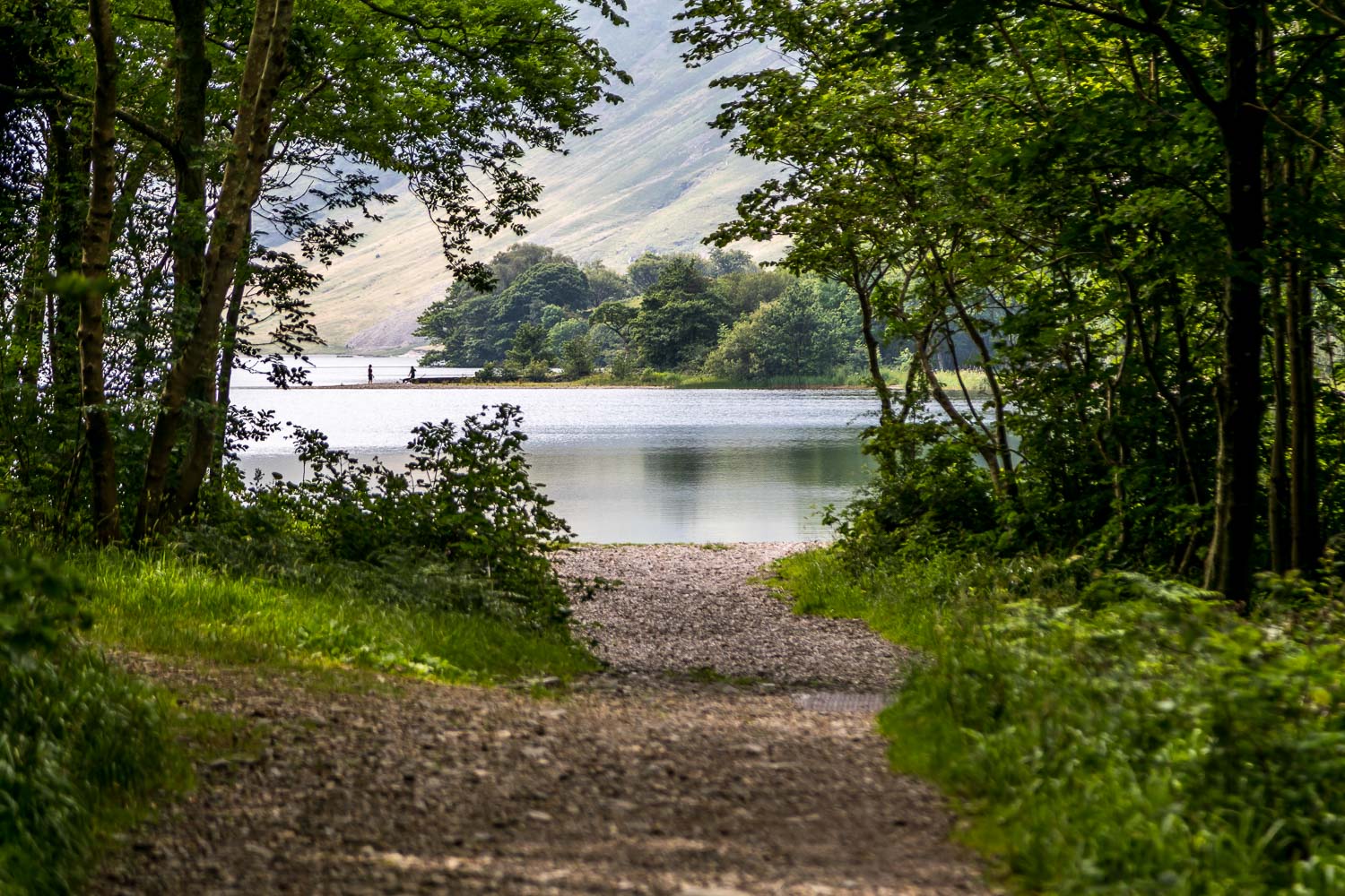
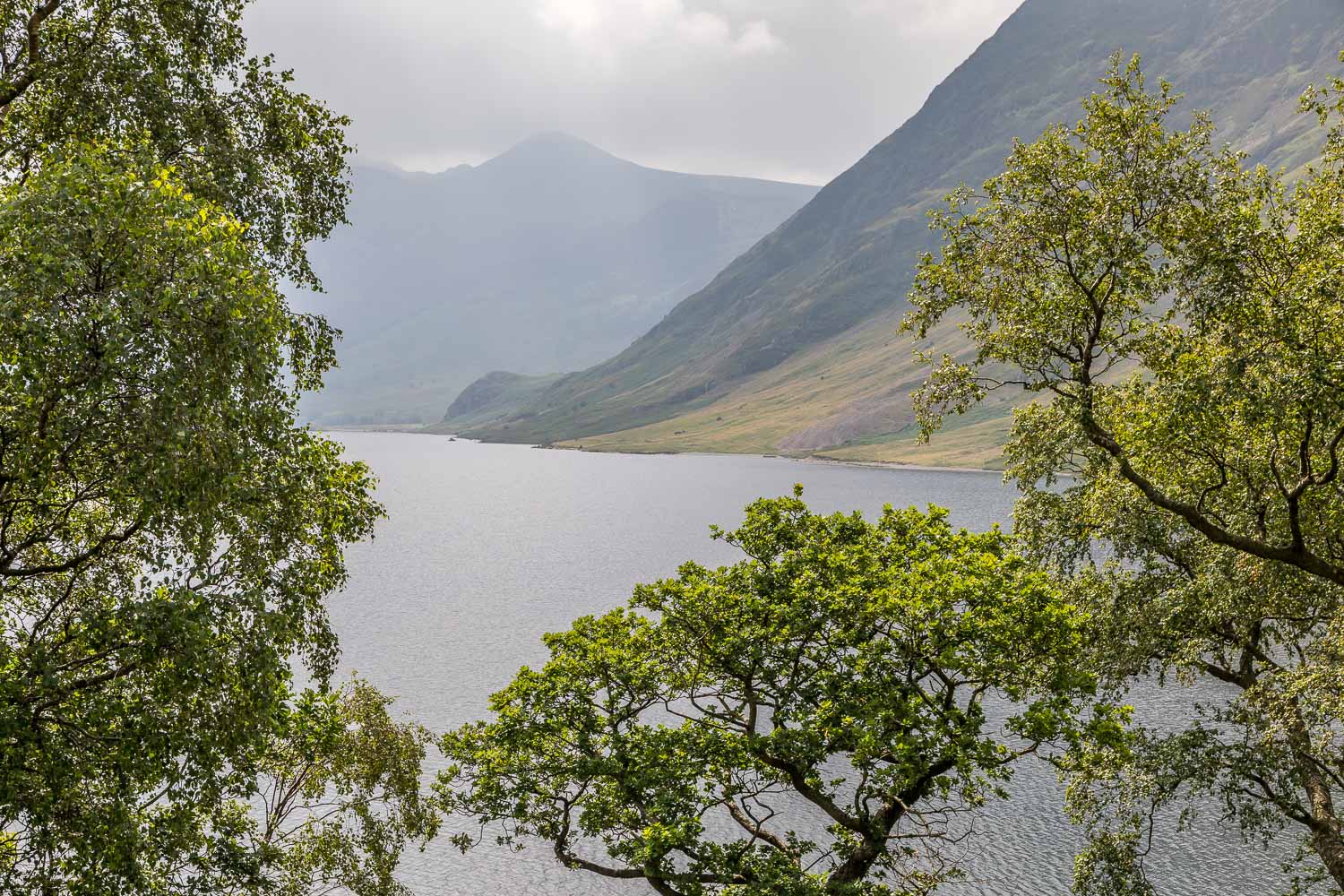
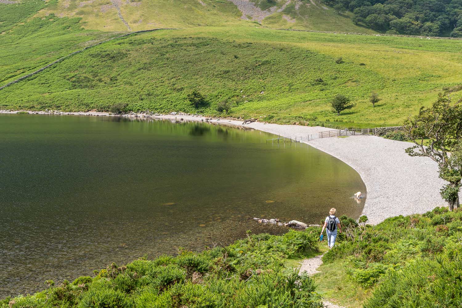
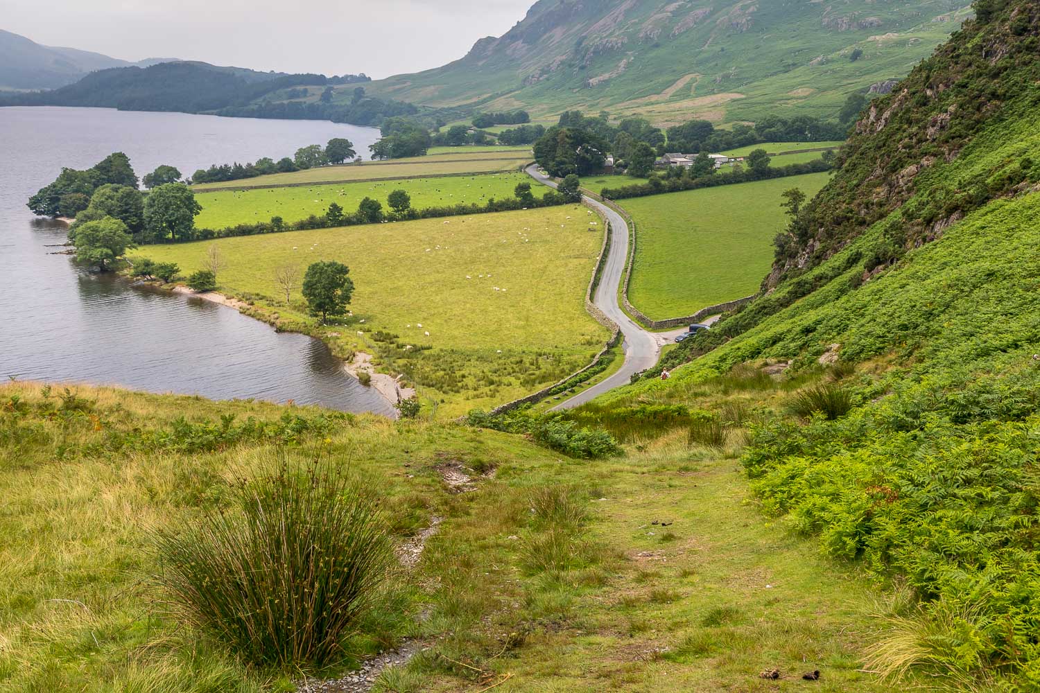
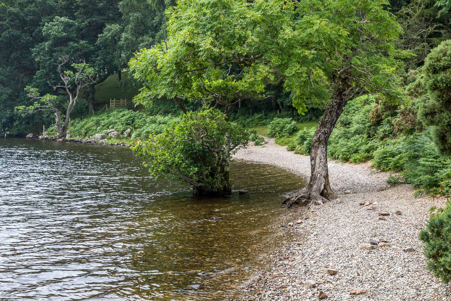
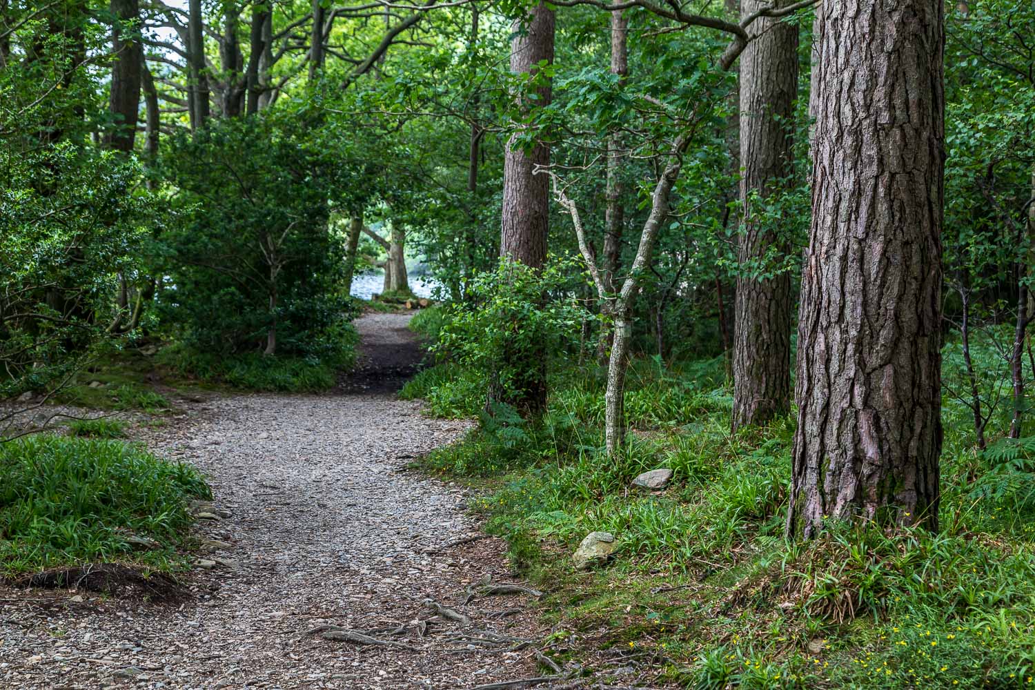
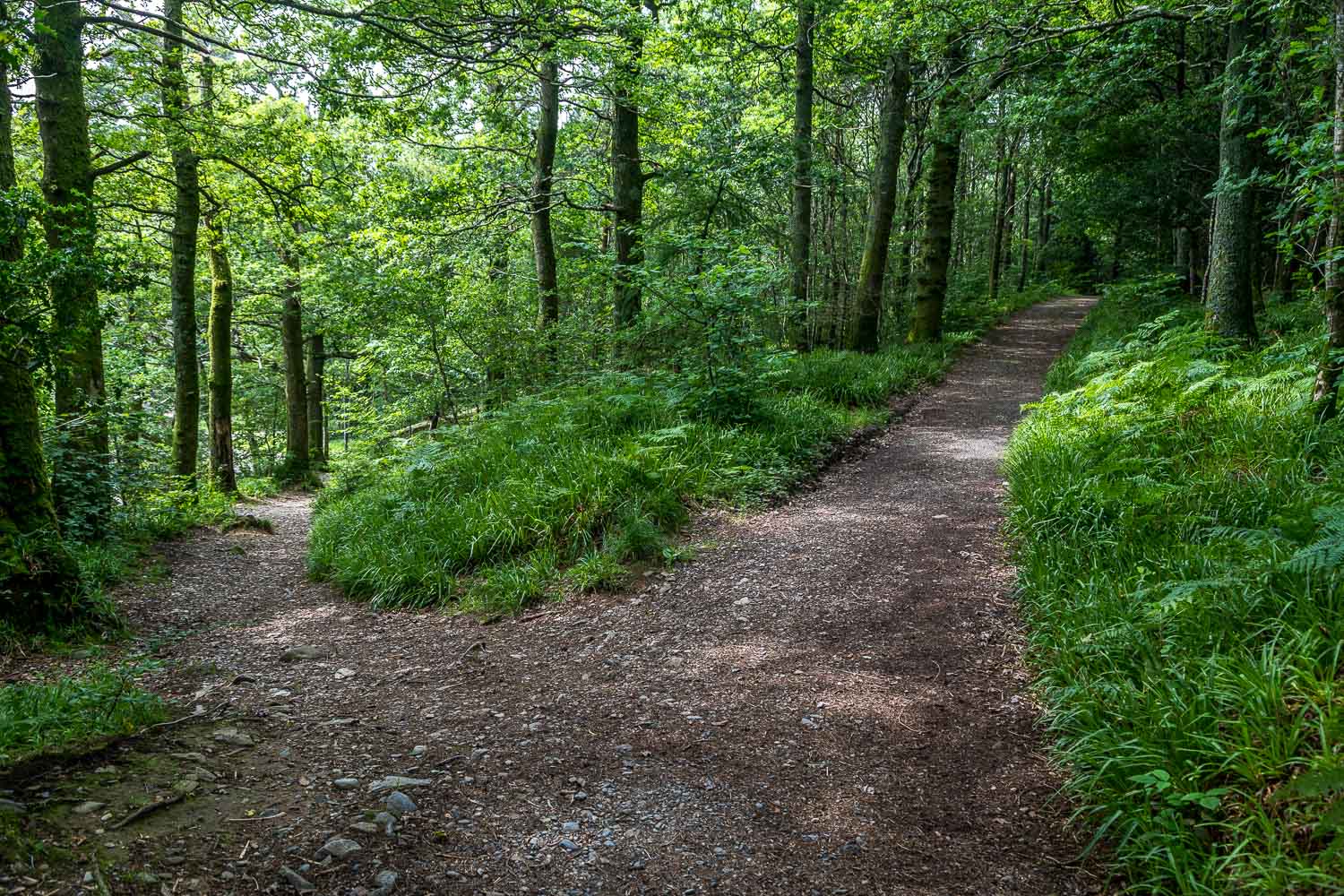
After walking out of the village we followed the road for a mile or so, avoiding it at one point by taking the path over Hause Point, and on reaching Cinderdale Common we took a path which leads down to the lakeshore and through the woods back to the start
It was a lovely walk despite the hazy weather
For other walks here, visit my Find Walks page and enter the name in the ‘Search site’ box
Click on the icon below for the route map (subscribers to OS Maps can view detailed maps of the route, visualise it in aerial 3D, and download the GPX file. Non-subscribers will see a base map)
Scroll down – or click on any photo to enlarge it and you can then view as a slideshow
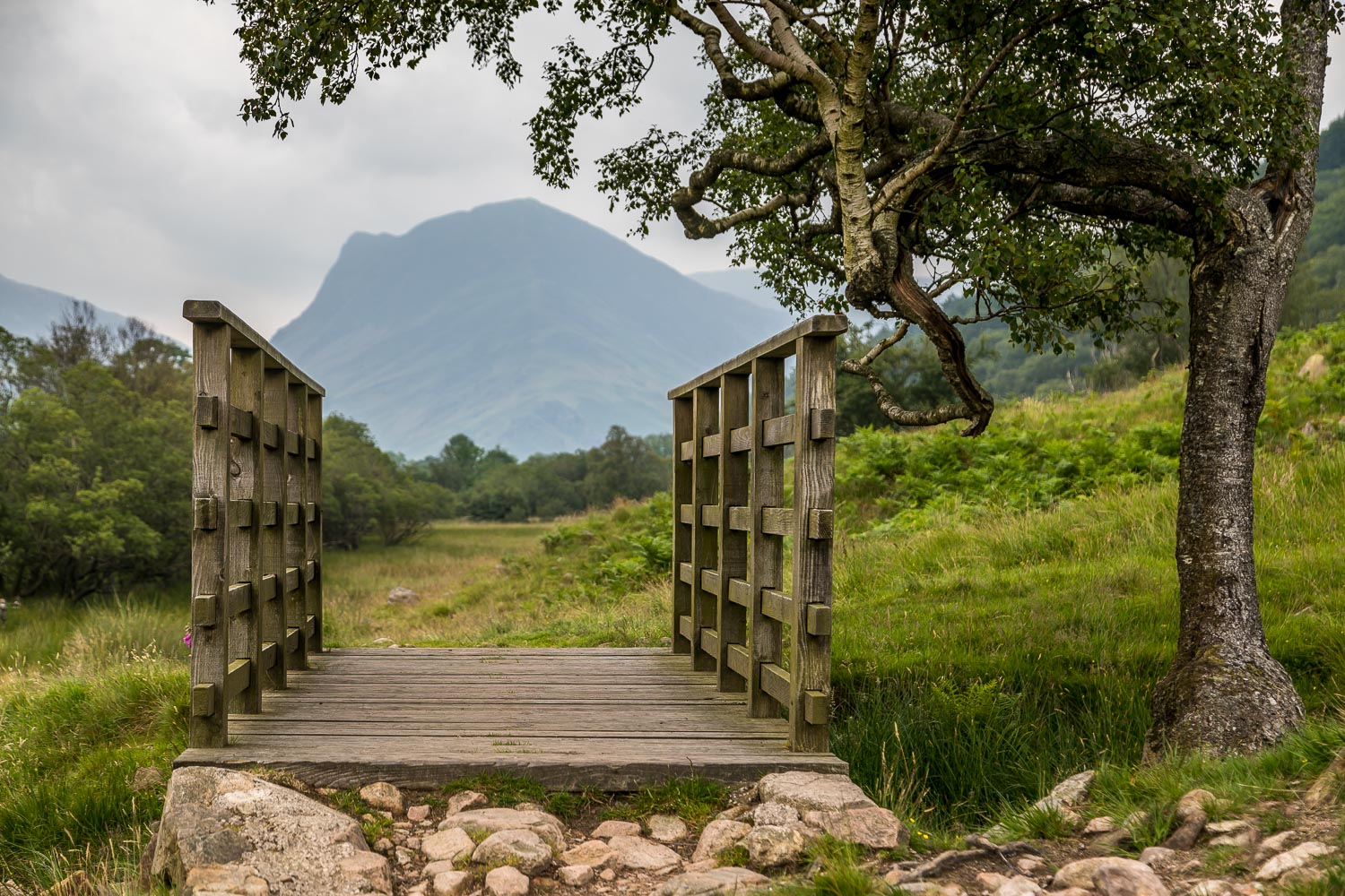
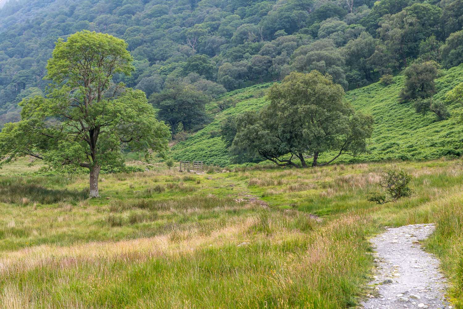
The builders of this footbridge aligned it well, so as to point like an arrow towards Fleetwith Pike
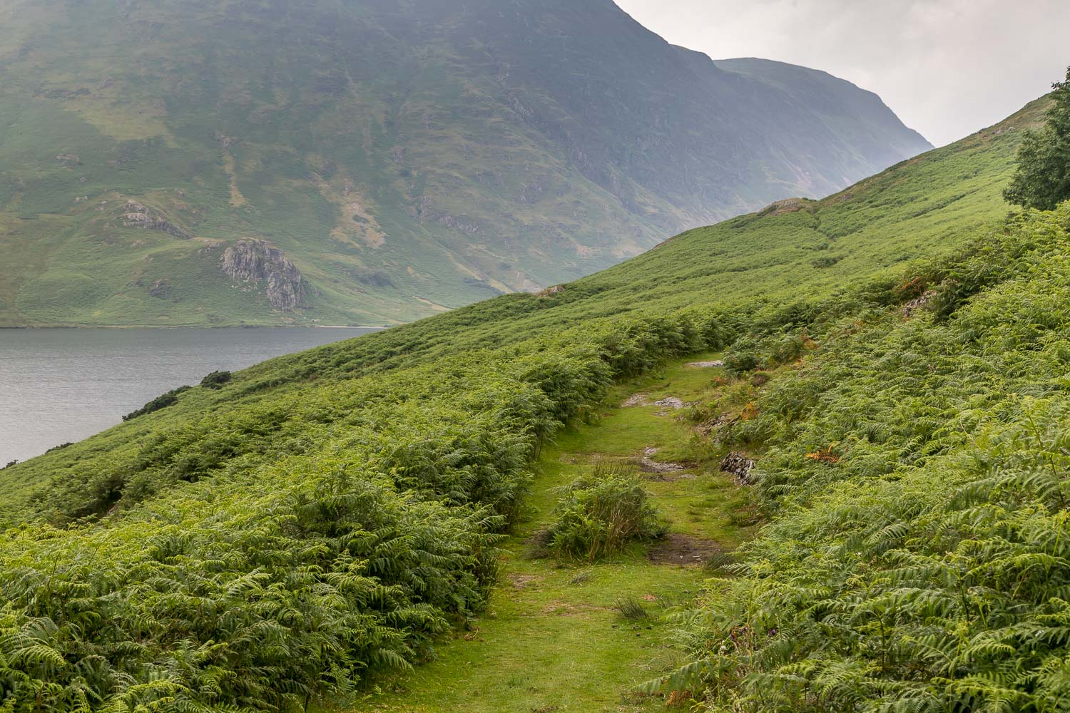
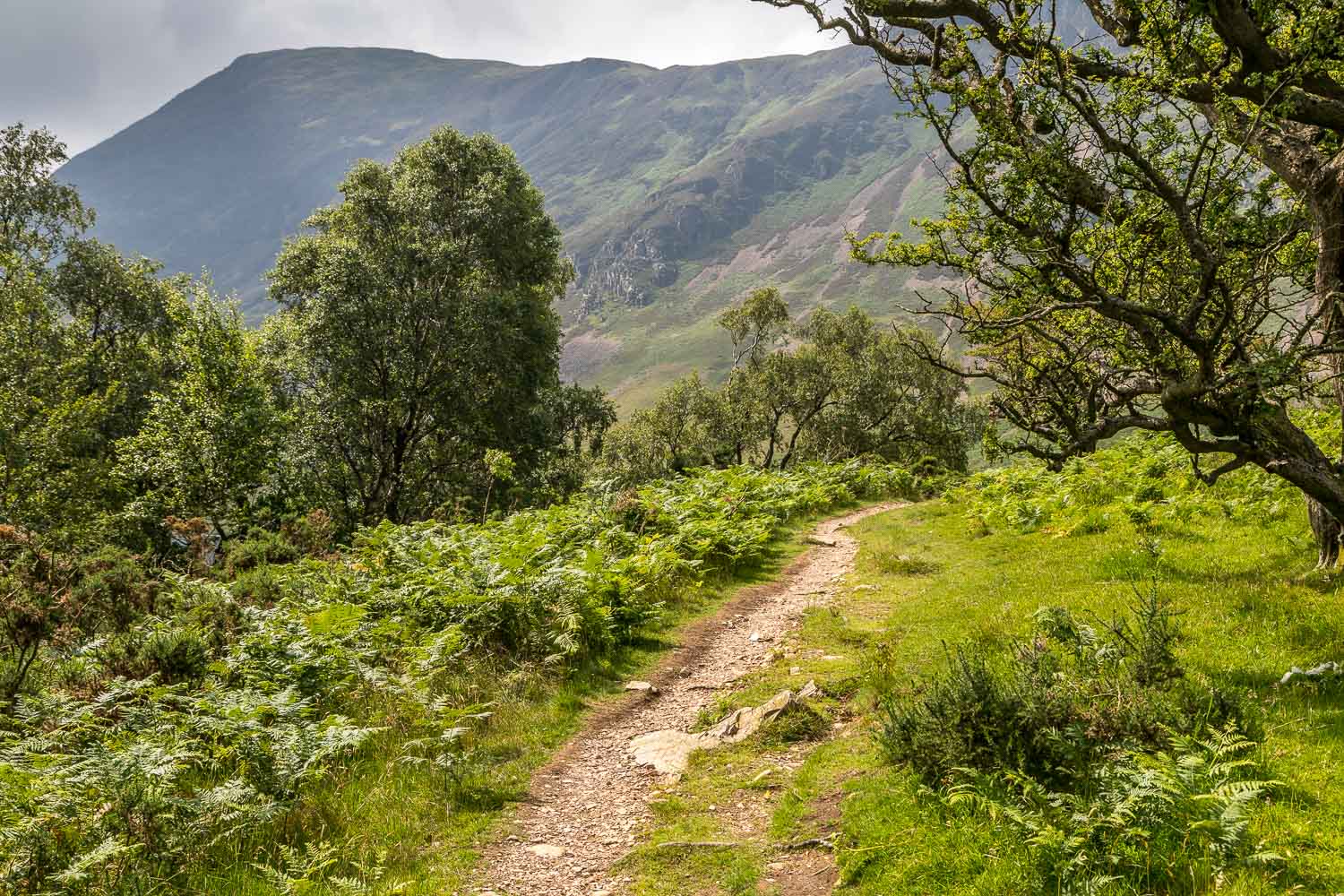
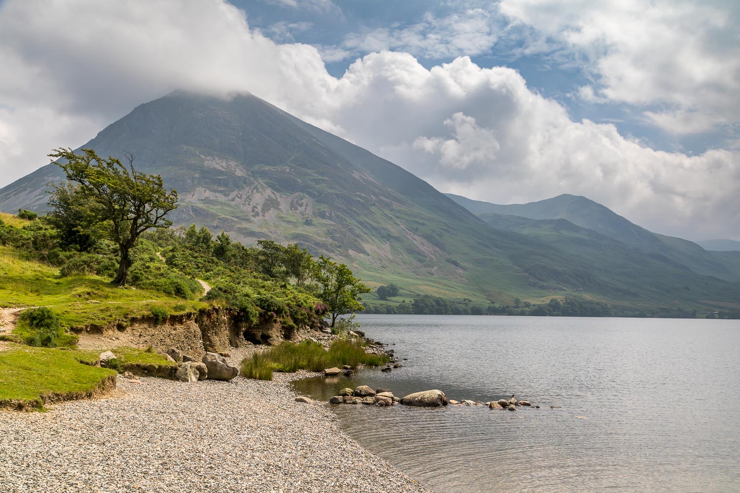
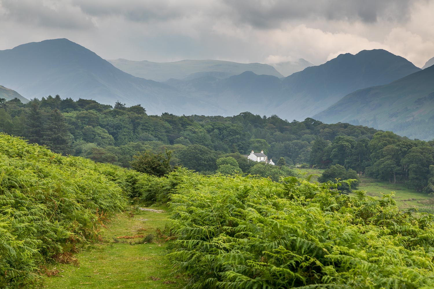
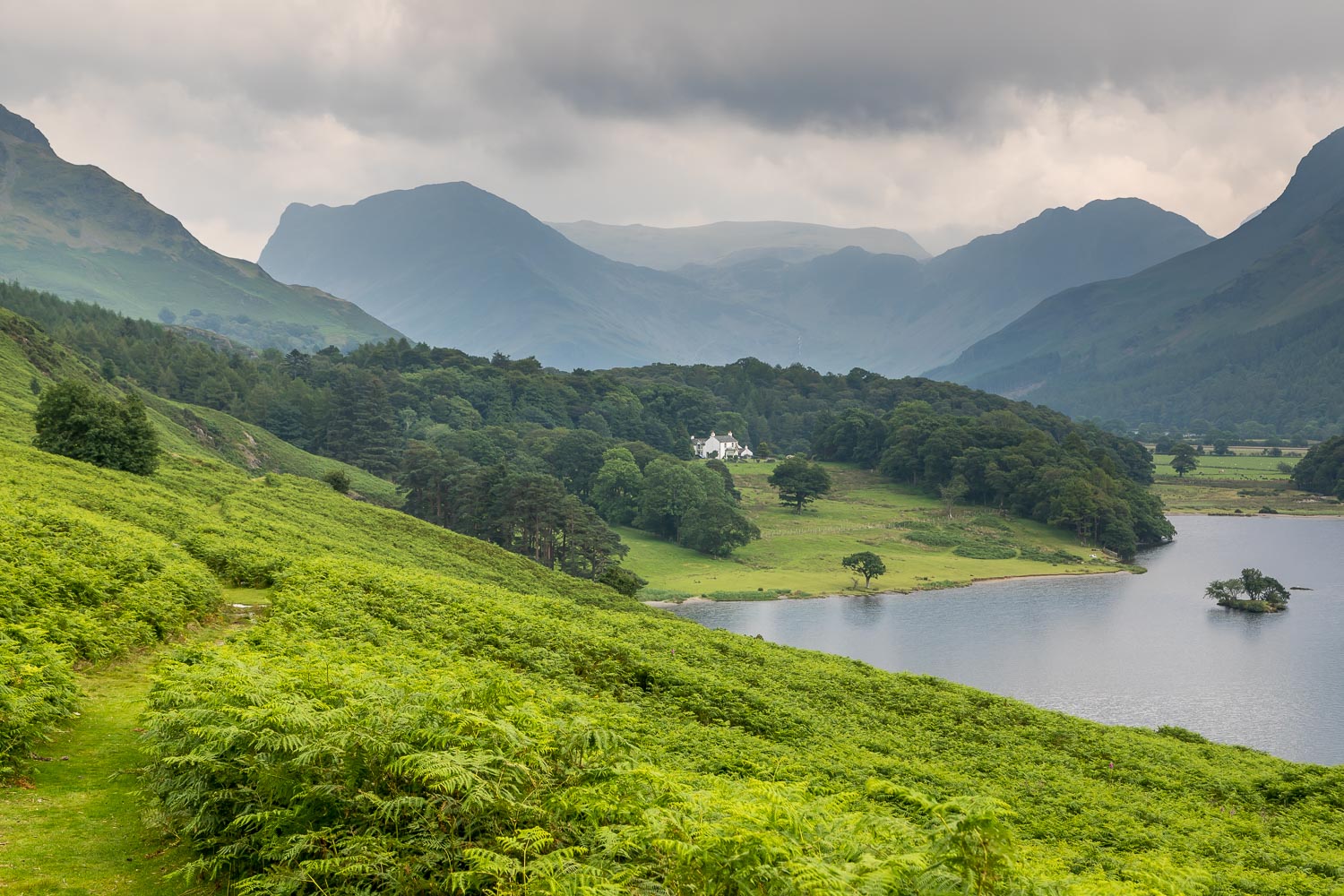
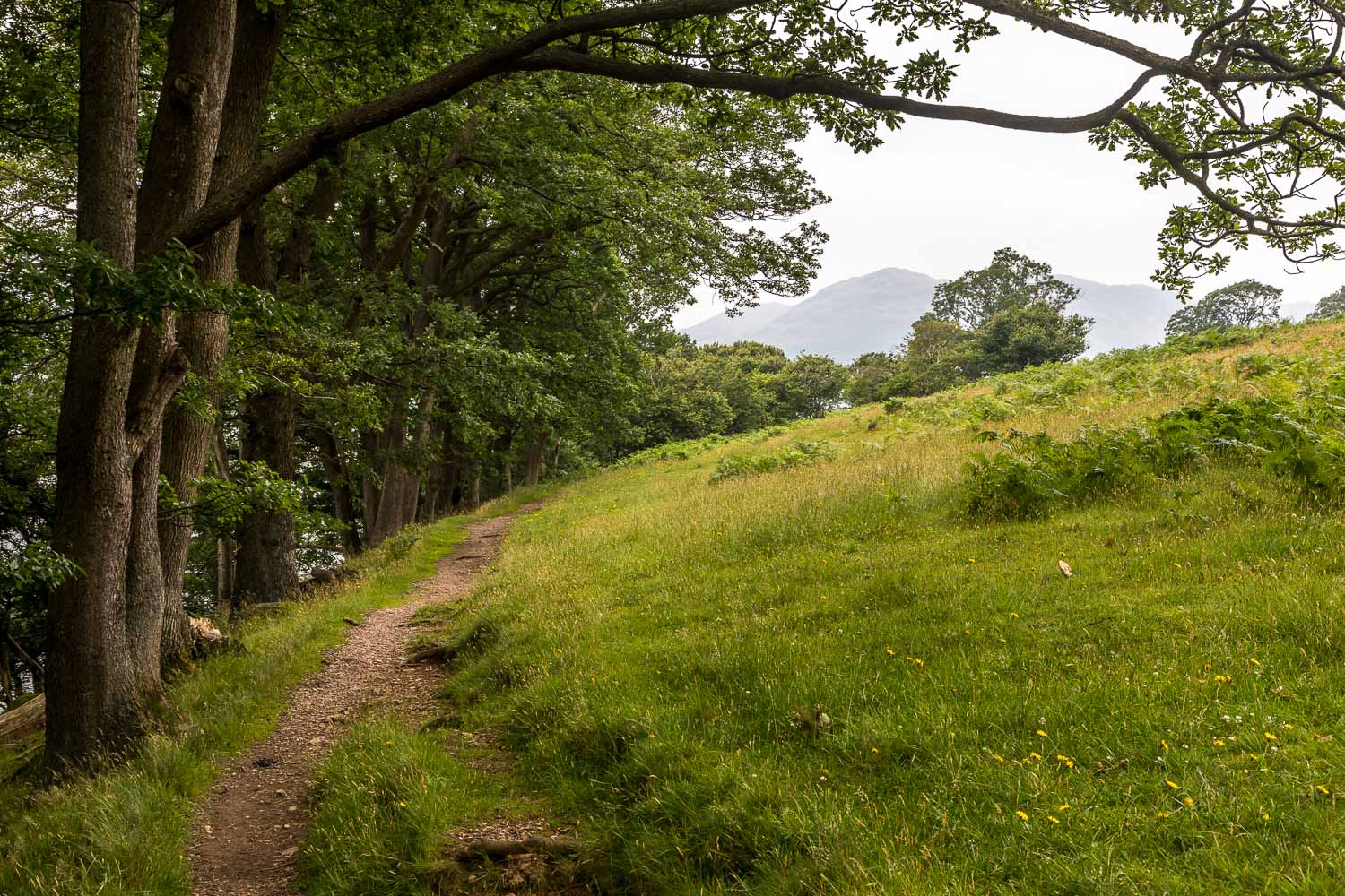
Beyond Great Wood and the head of Crummock Water we take a path which rises gently along the flanks of Rannerdale Knotts
