
Route: Carrock Fell
Area: Northern Lake District
Date of walk: 29th March 2013
Walkers: Andrew Gilly David and Rachel
Distance: 5.7 miles
Ascent: 1,100 feet
We parked on the roadside just before Calebreck and made our way up along the side of Carrock Beck. There was still plenty of snow around, getting deeper the higher we climbed.
As we slogged our way up the slope we admired a paraboarder who was gliding effortlessly up the hill on the other side of the valley
At the end of the valley, we turned up Miton Hill and made our way up to the top of Carrock Fell. It was freezing on the top but there were fabulous views of Skiddaw and Blencathra, the Eastern Fells, the Solway Firth and the Pennines
We then made an easy descent towards Carrock Beck and back to our car. A fantastic day out in these quiet and unfrequented fells
Click on the icon below for the route map (subscribers to OS Maps can view detailed maps of the route, visualise it in aerial 3D, and download the GPX file. Non-subscribers will see a base map)

Scroll down – or click on any photo to enlarge it and you can then view as a slideshow

A squirrel in the garden before we set off

And a pheasant

We parked just before Calebreck - the slopes of Carrock Fell are on the right

Rachel quickly makes friends with a couple of the locals

Today’s objective - Carrock Fell

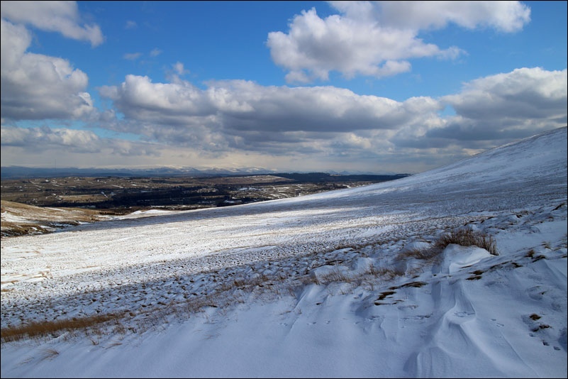
Looking back towards the Pennines

Another view back from the lower slopes of Carrock Fell

David and Rachel

Approaching Miton Hill, the snow has drifted and is deep in places

Looking across to High Pike

The going gets tougher

David is legless - not for the first time this weekend

When struggling up the fellside earlier we had admired this paraboarder, gliding effortlessly uphill

I wish I could do that

Looking back over the Northern Fells

Carrock Fell ahead

As we approach the summit, some weather approaches us

Carrock Fell summit cairn

Skiddaw in the background

Father and daughter by the summit cairn

It was too cold to linger up there and we were soon on our way back down - what a great walk it had been
