Route: Brackenthwaite bluebells
Area: Western Lake District
Date of walk: 4th May 2025
Walkers: Andrew and Gilly
Distance: 3.0 miles
Ascent: 800 feet
Weather: Sunny, quite cold
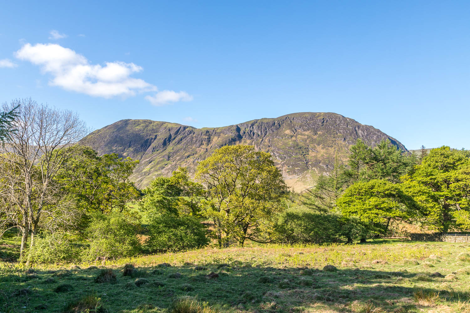
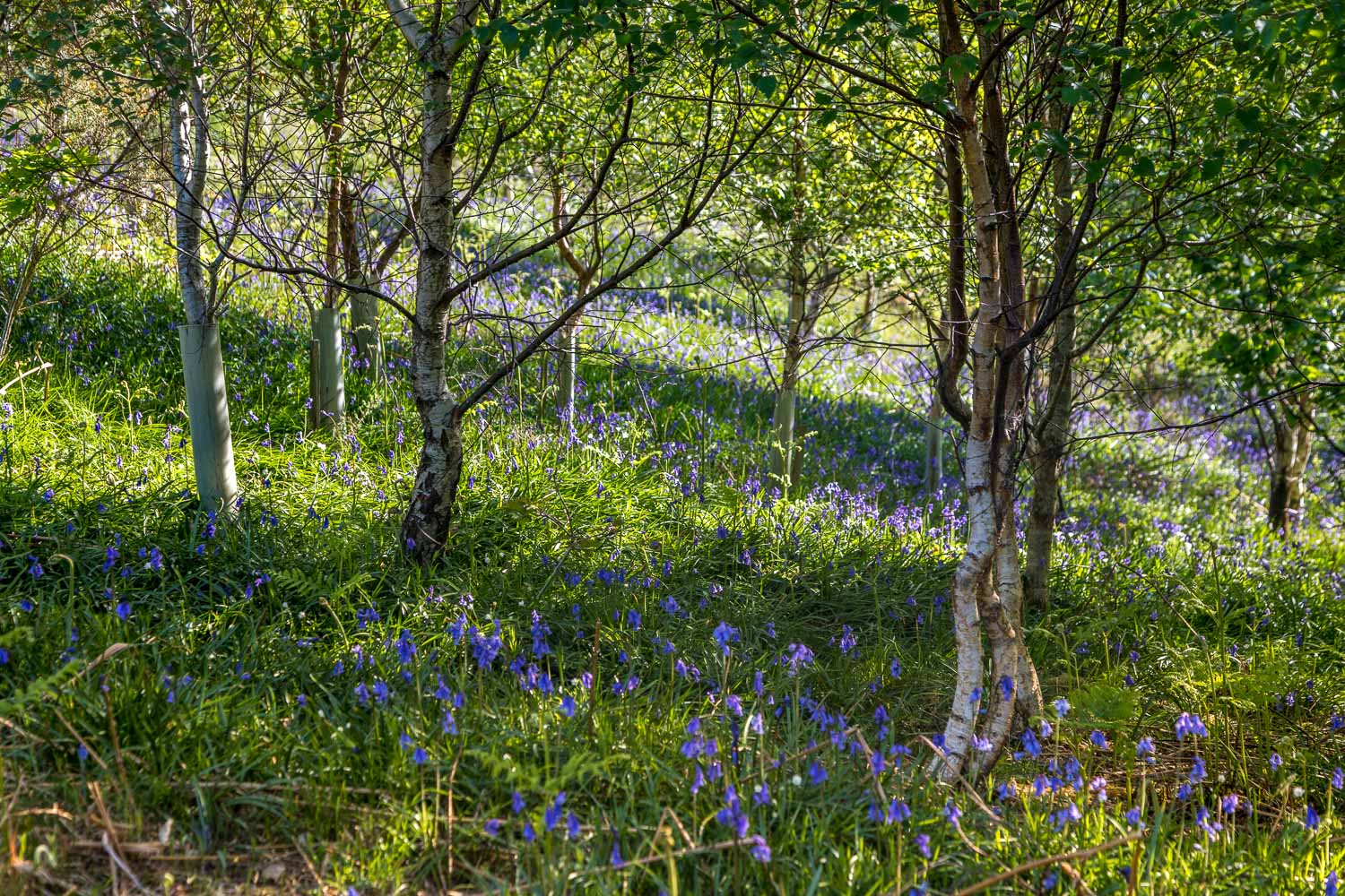
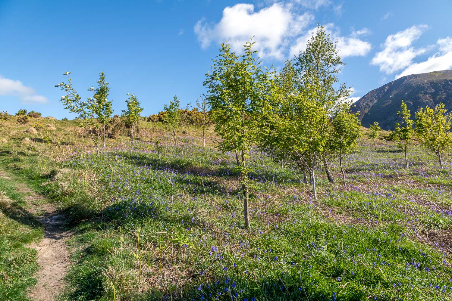
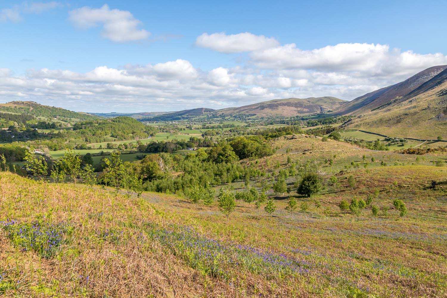
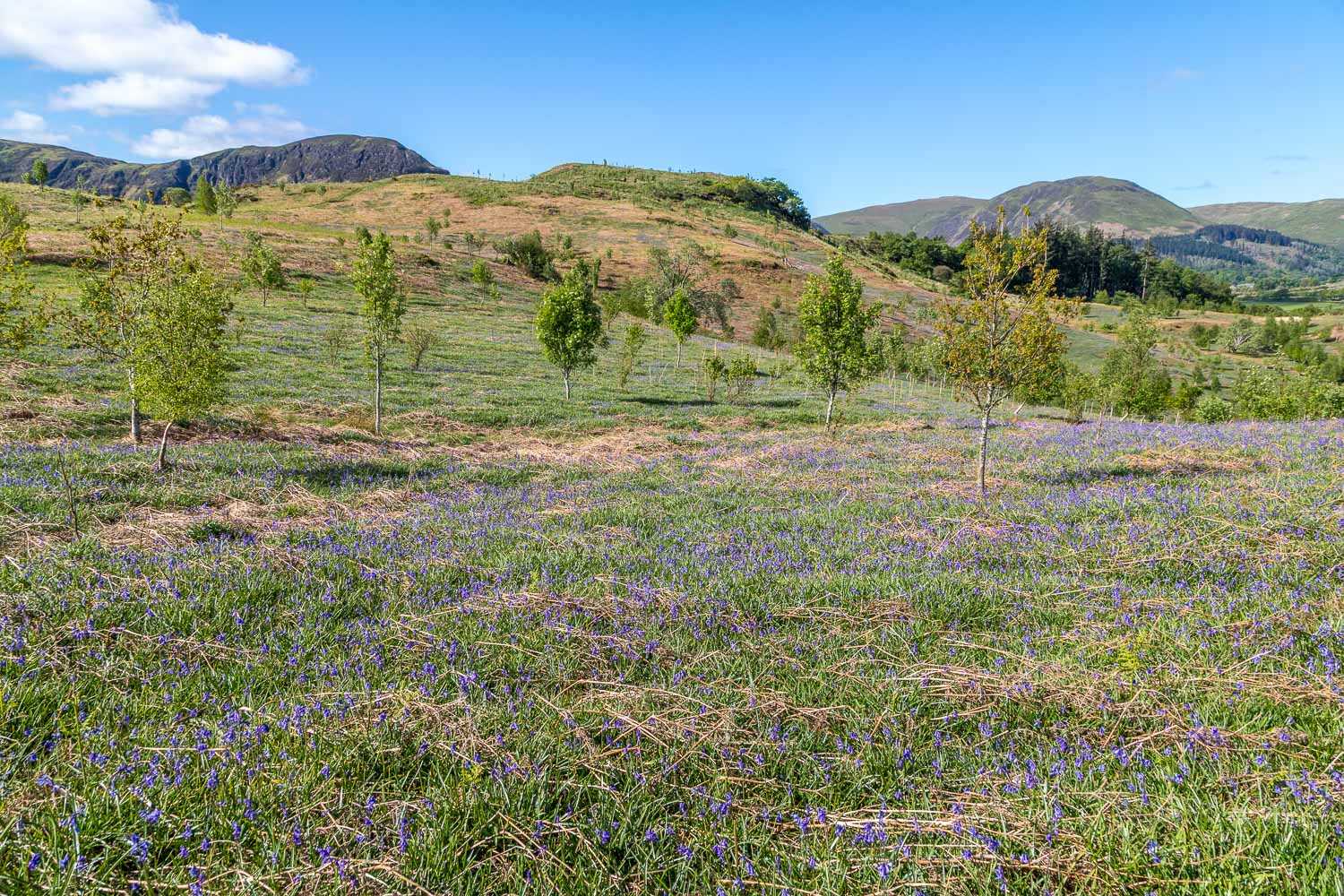
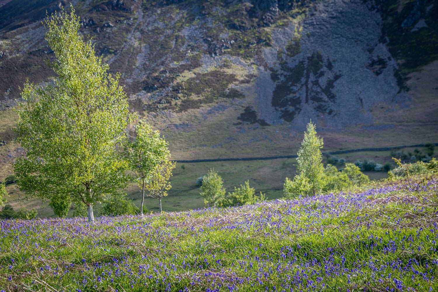
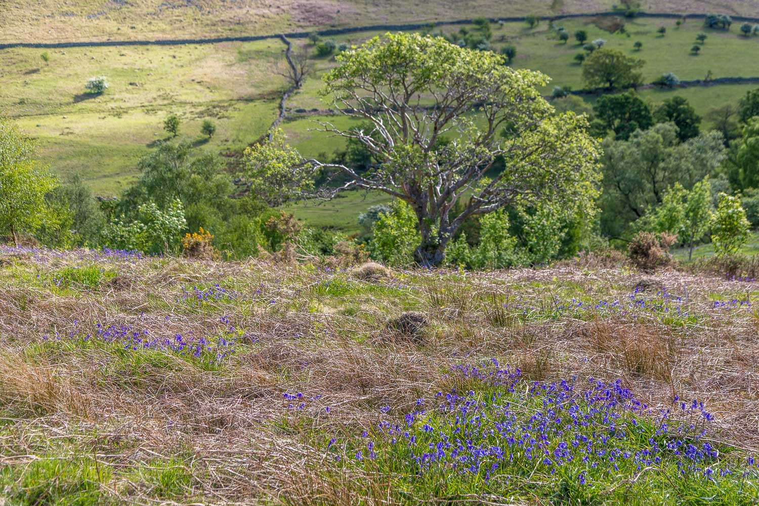
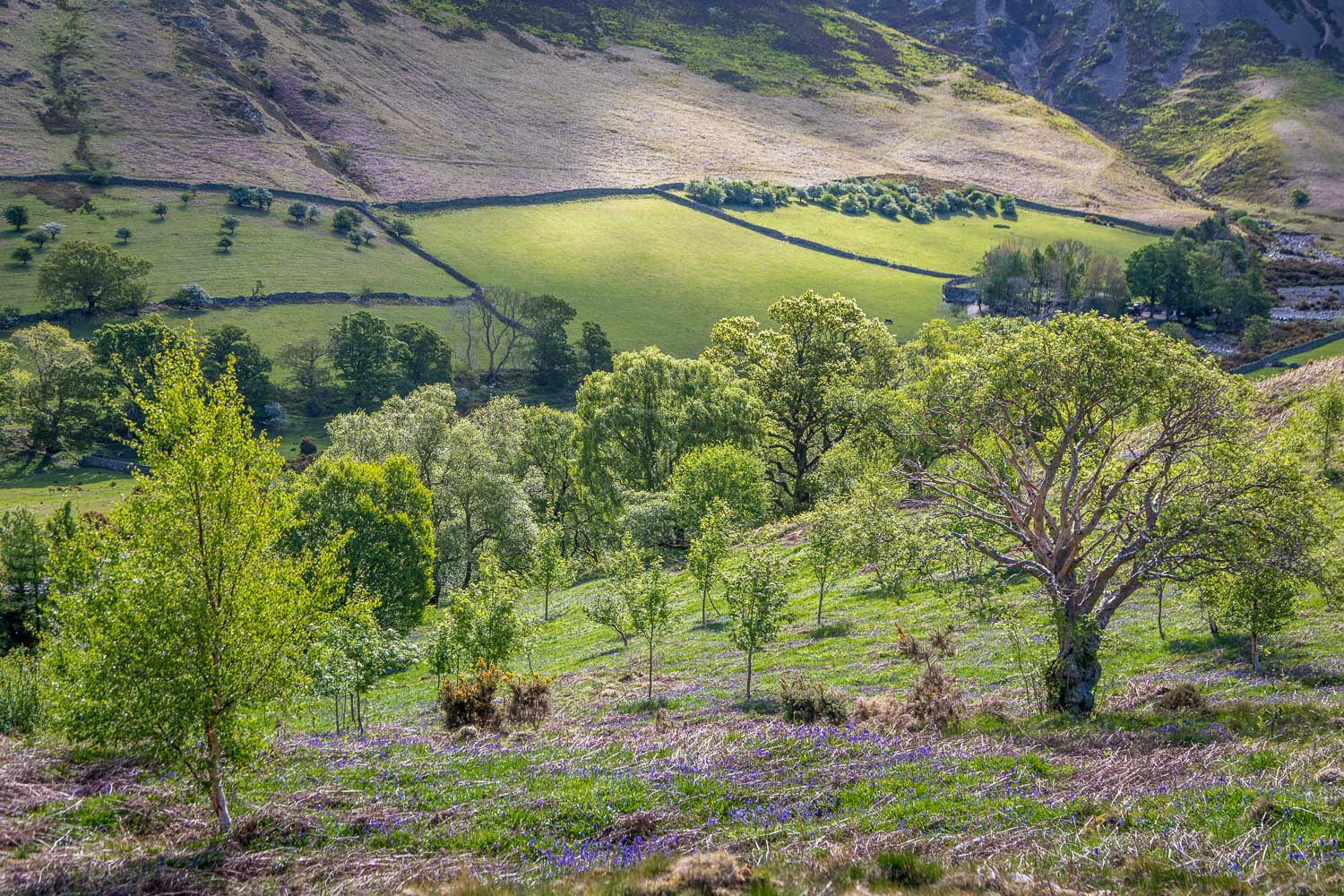
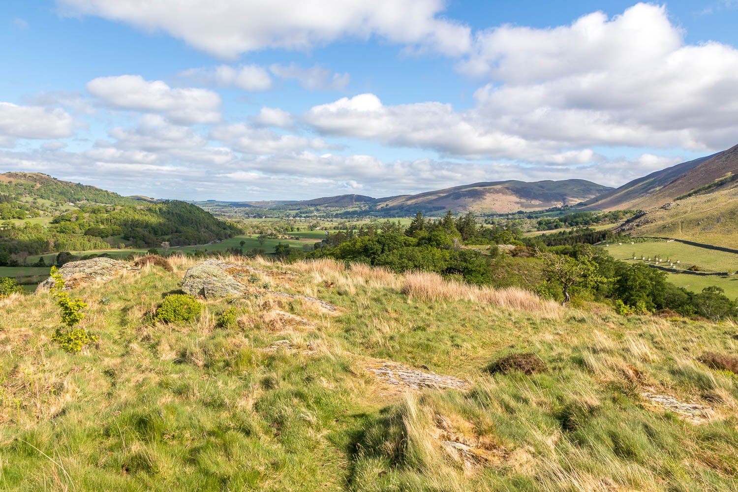
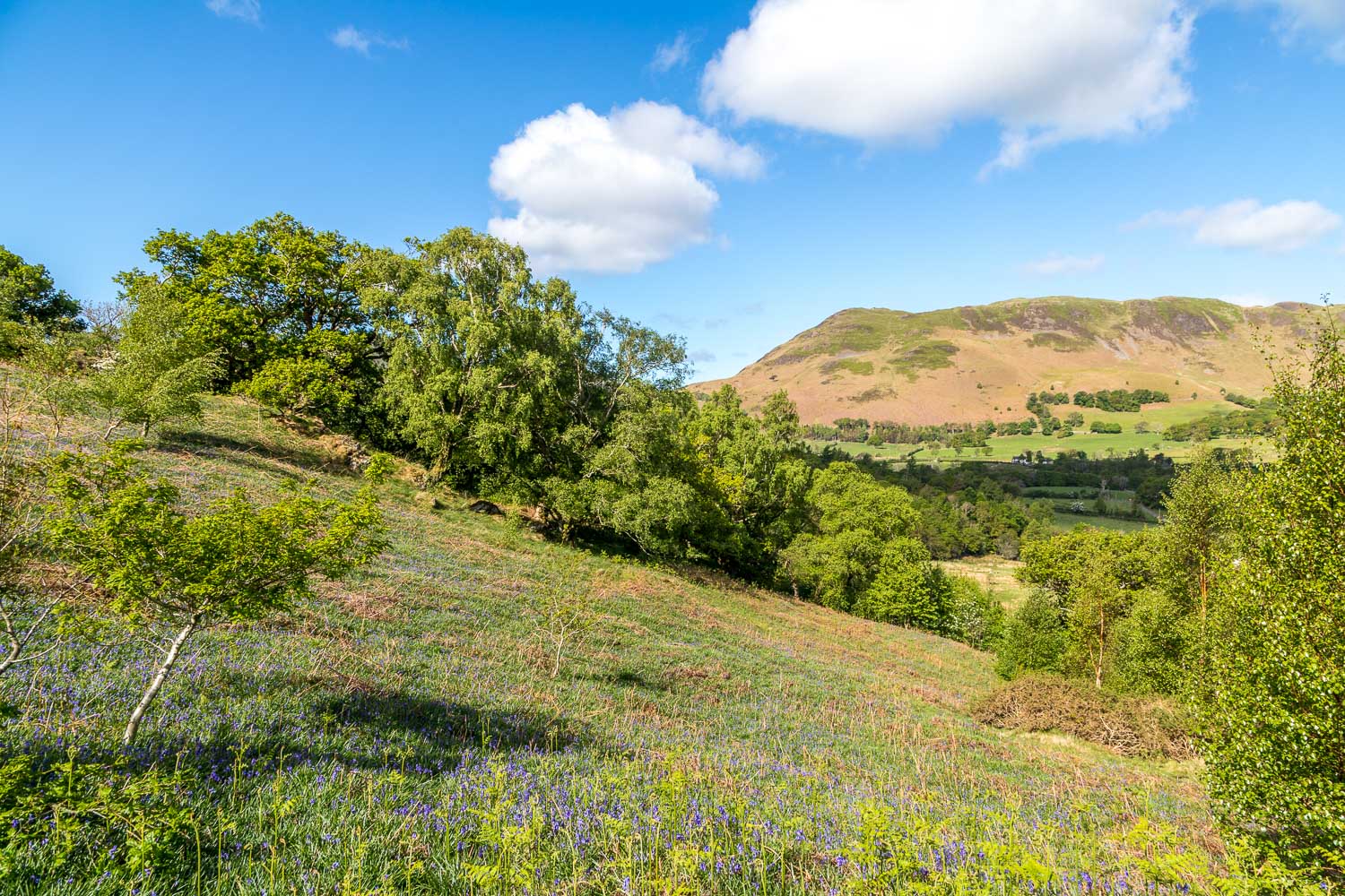
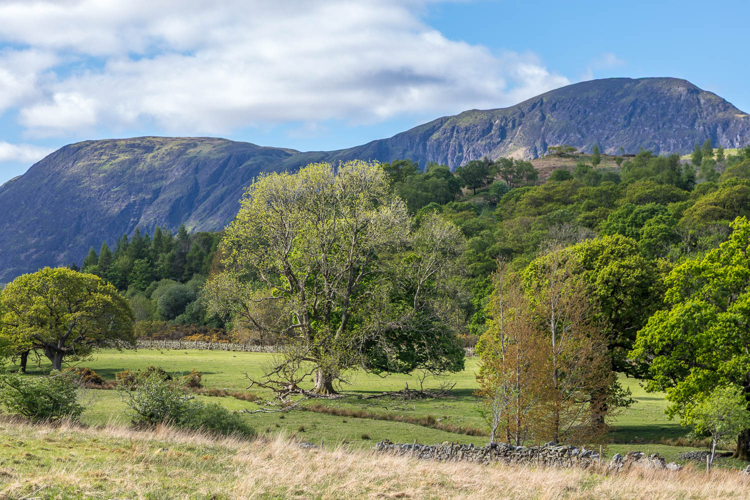
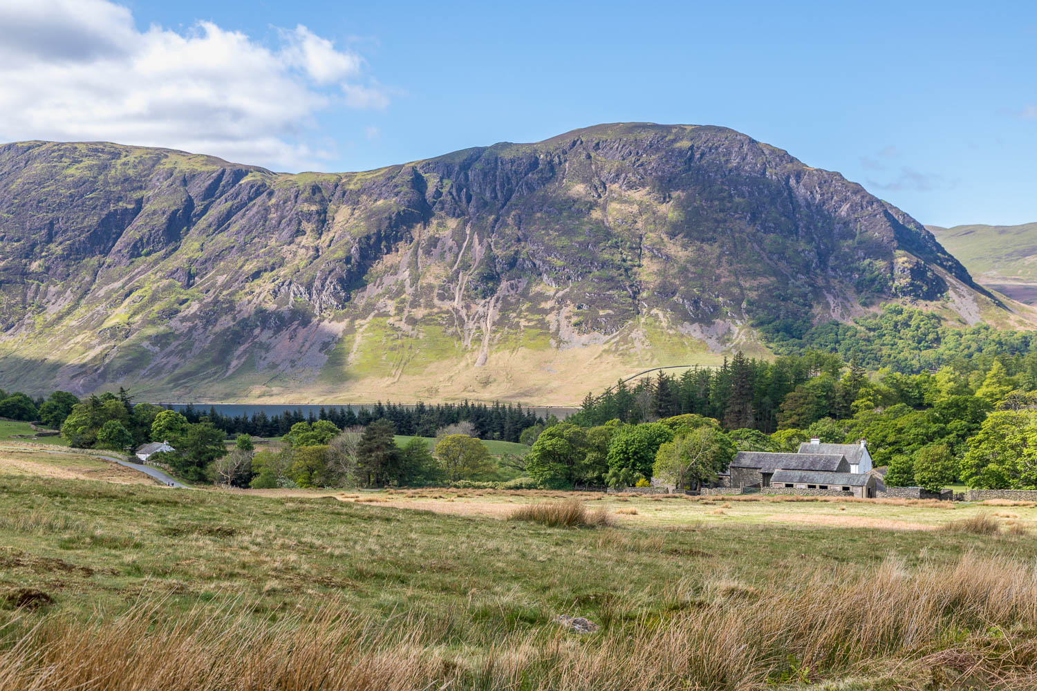
Brackenthwaite Hows, otherwise known as Lanthwaite Hill, is situated near the head of Lorton Vale. This is one of my favourite places which we visit several times a year. We walked the same route exactly one month ago but decided to revisit in order to see the bluebell display, which rivals that of its better known neighbour, Rannerdale
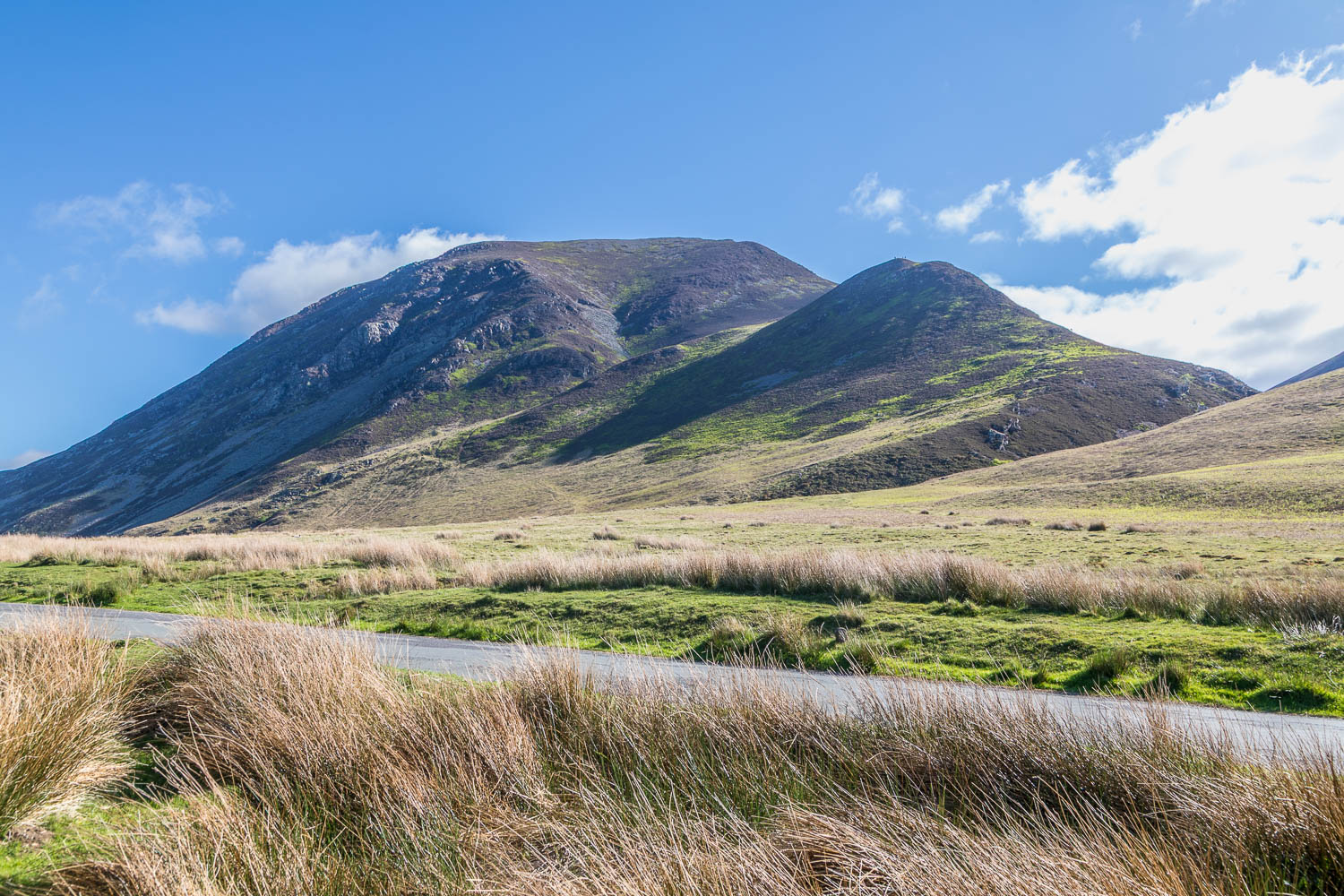
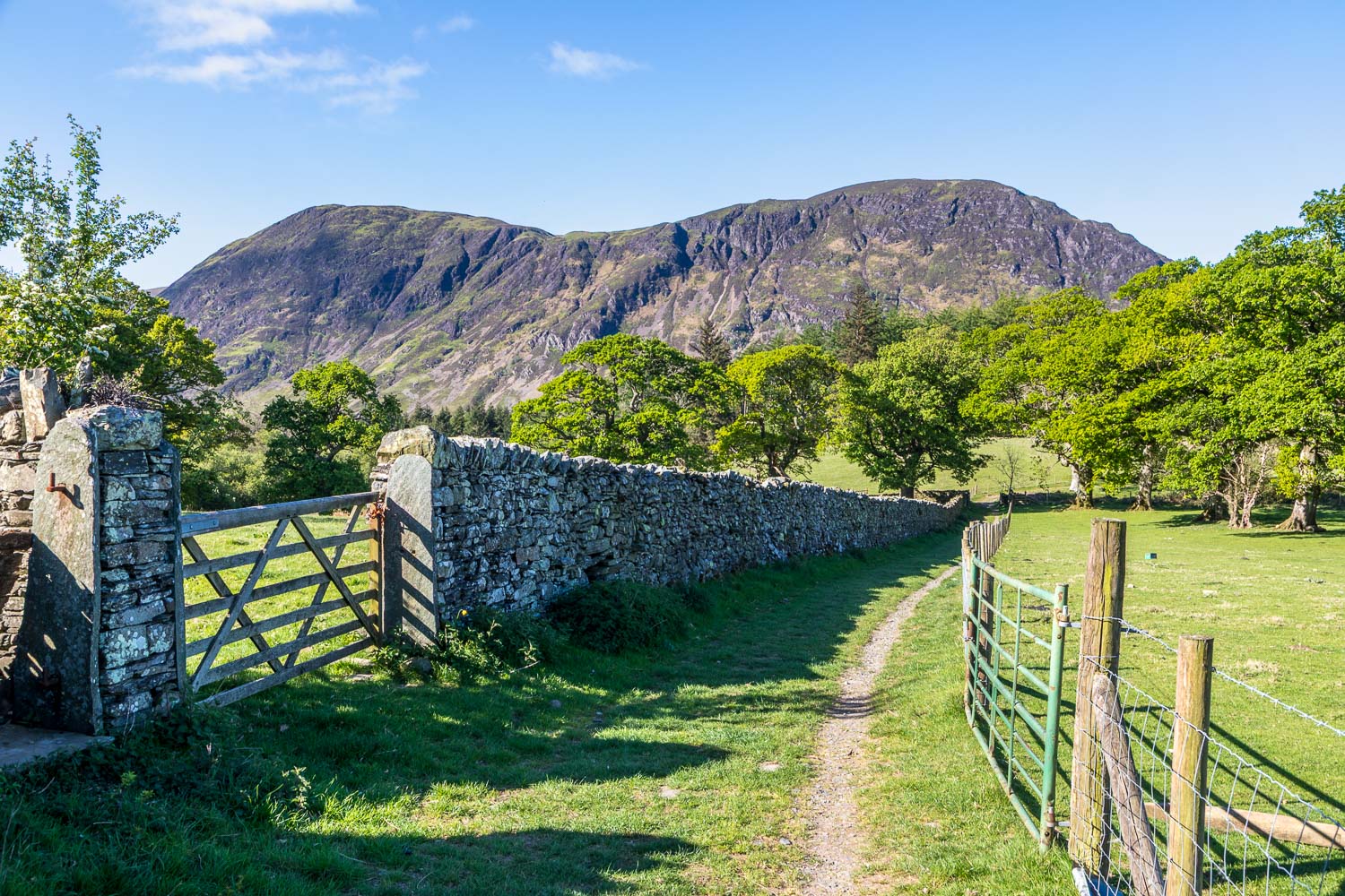
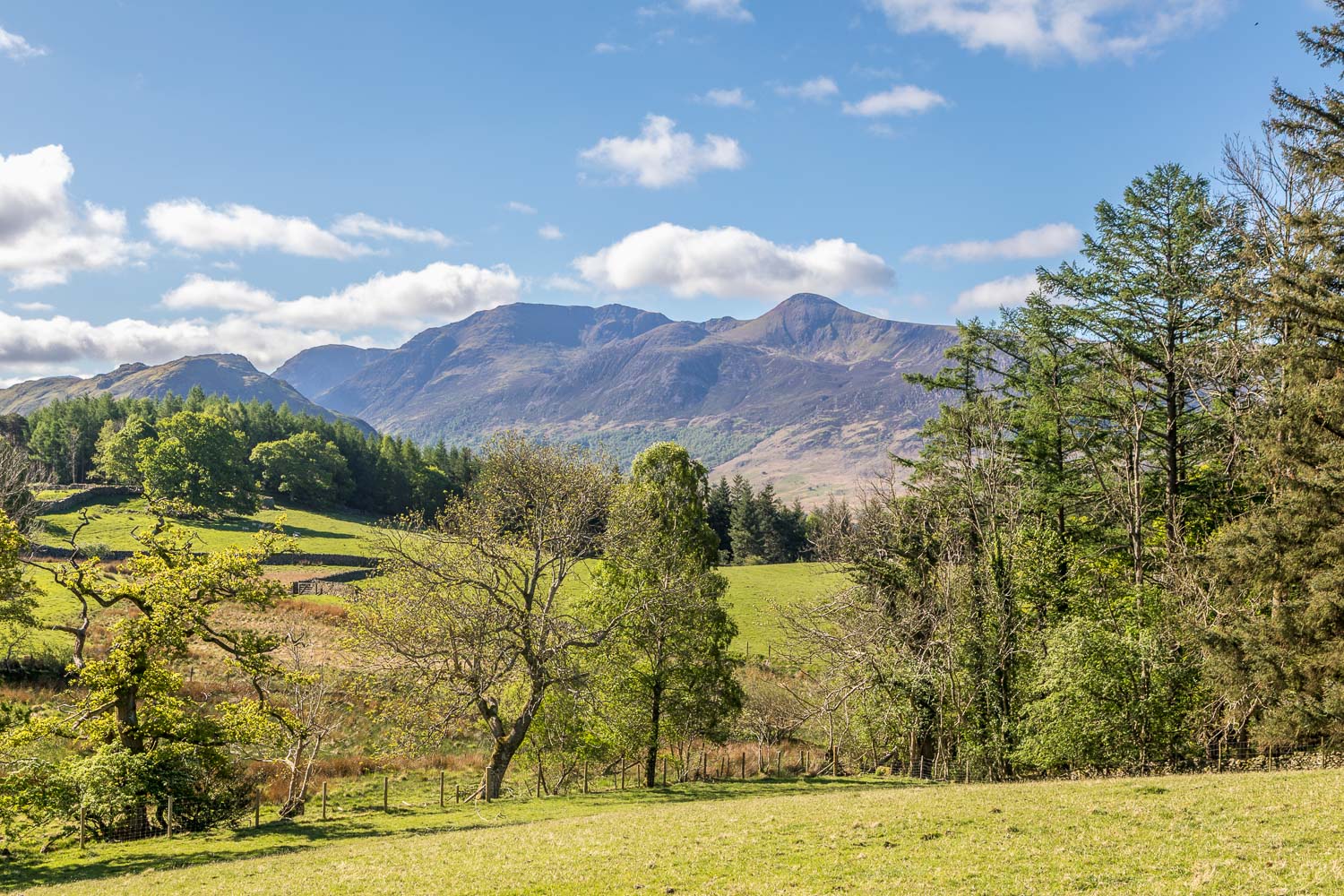
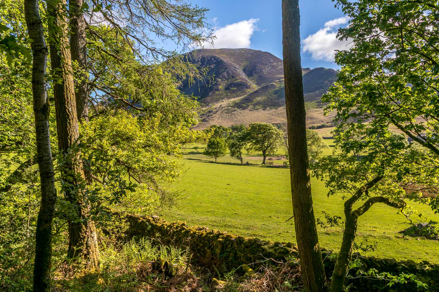
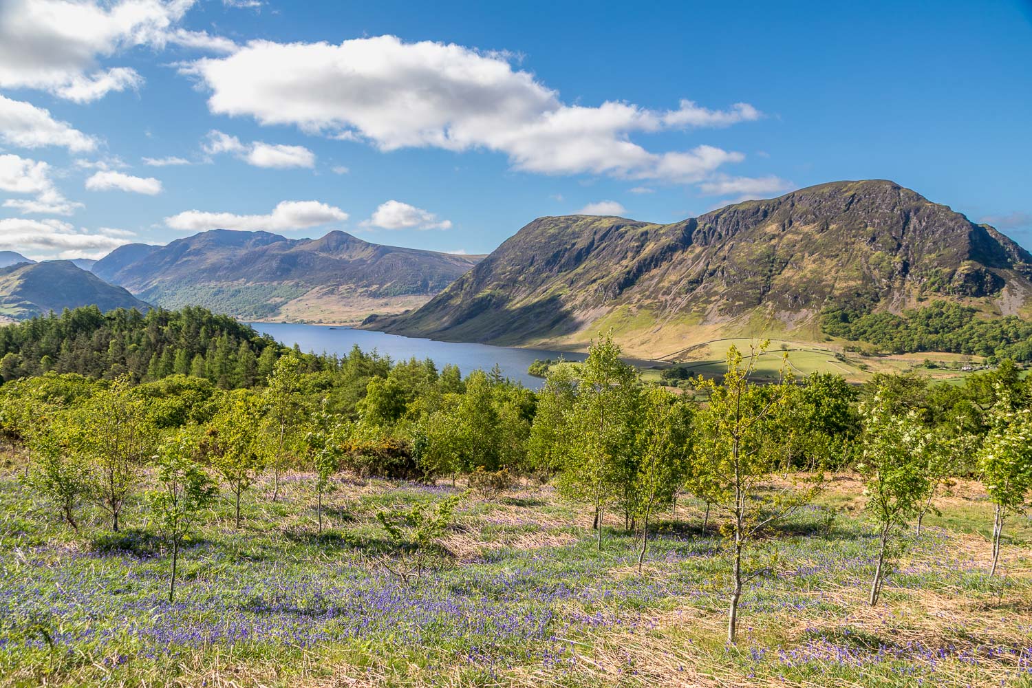
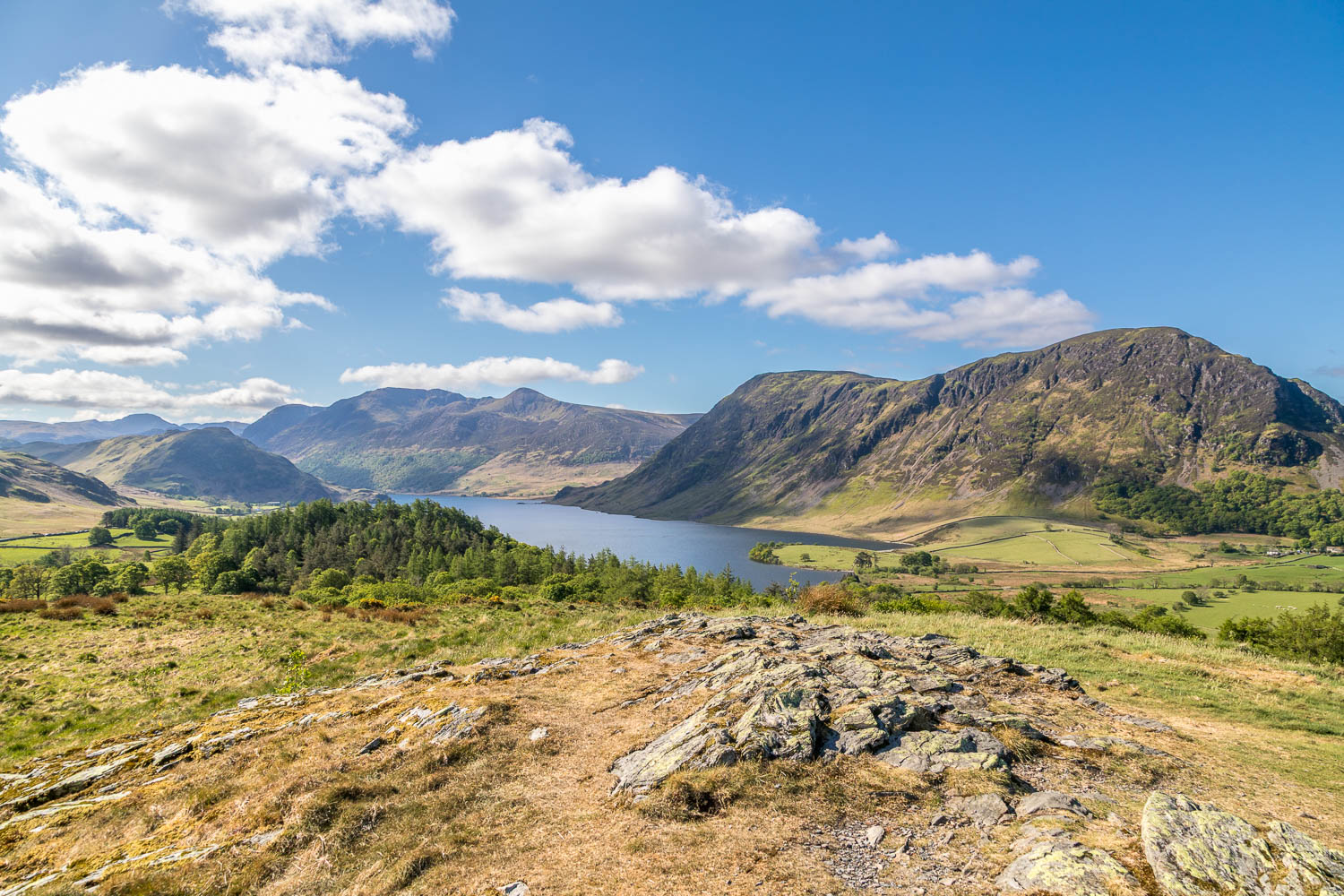
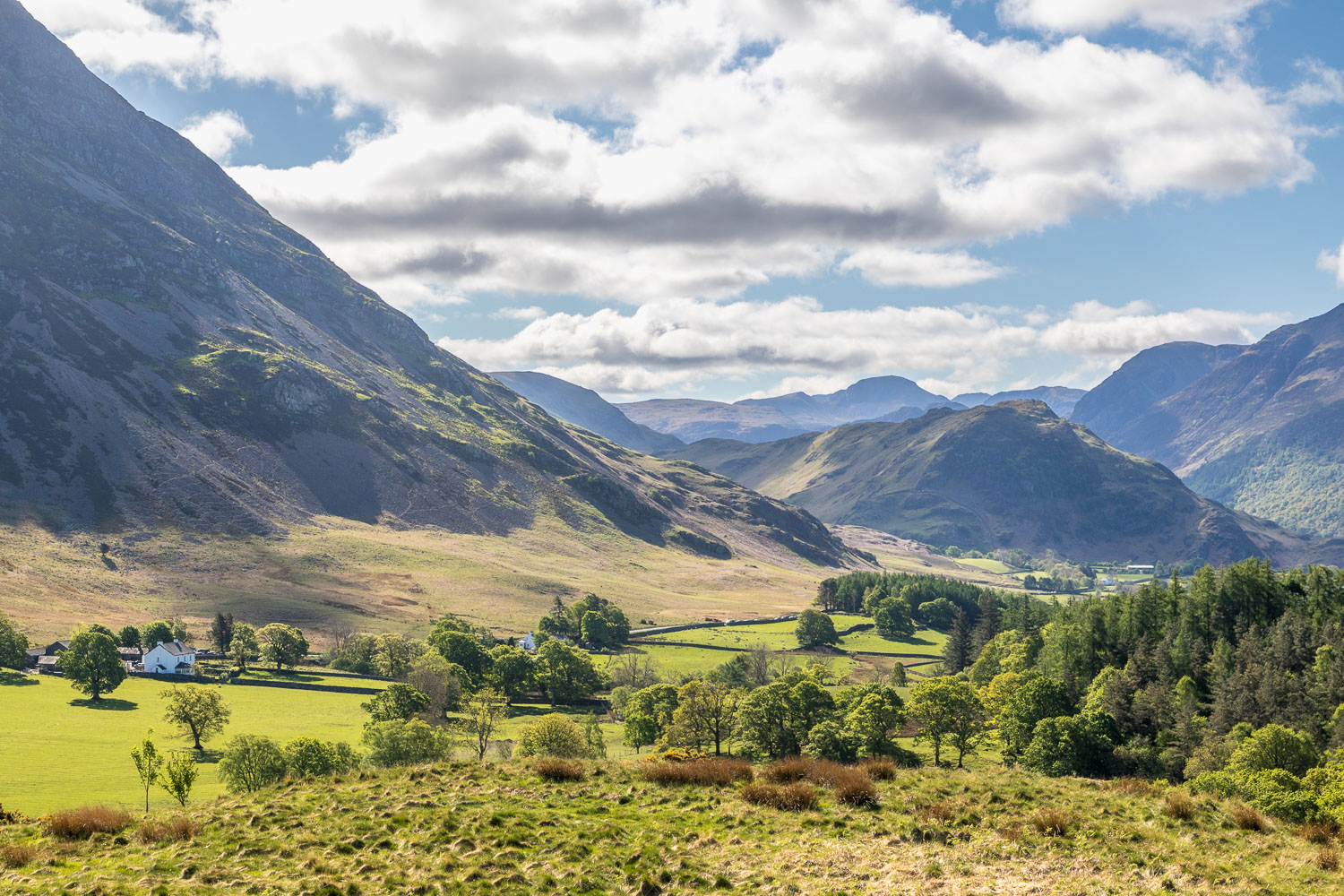
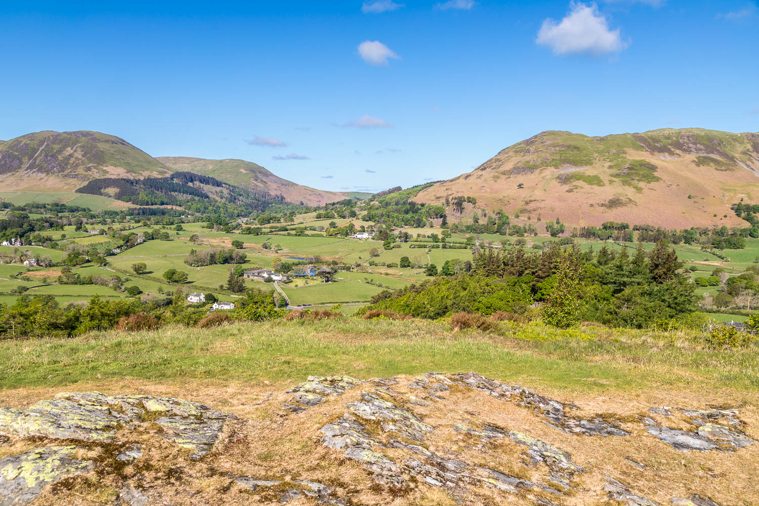
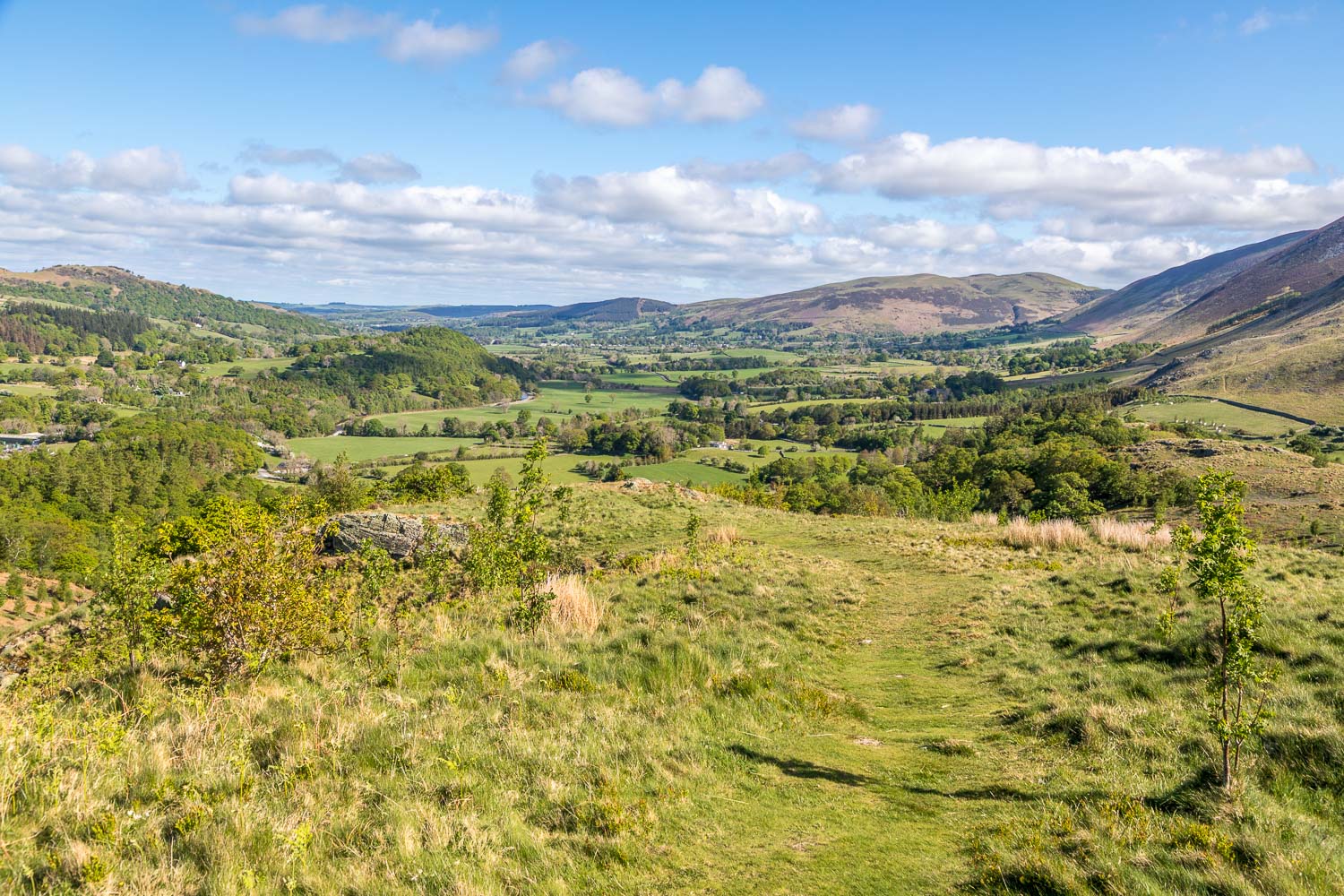
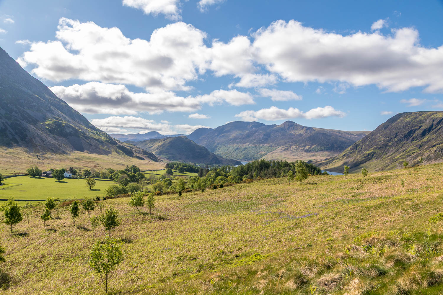
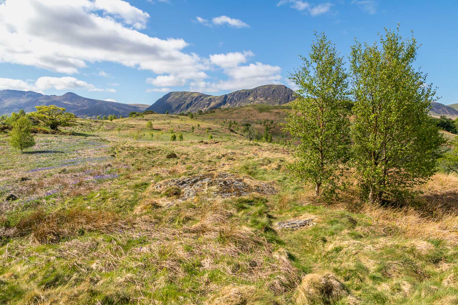
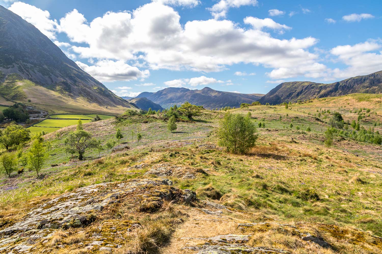
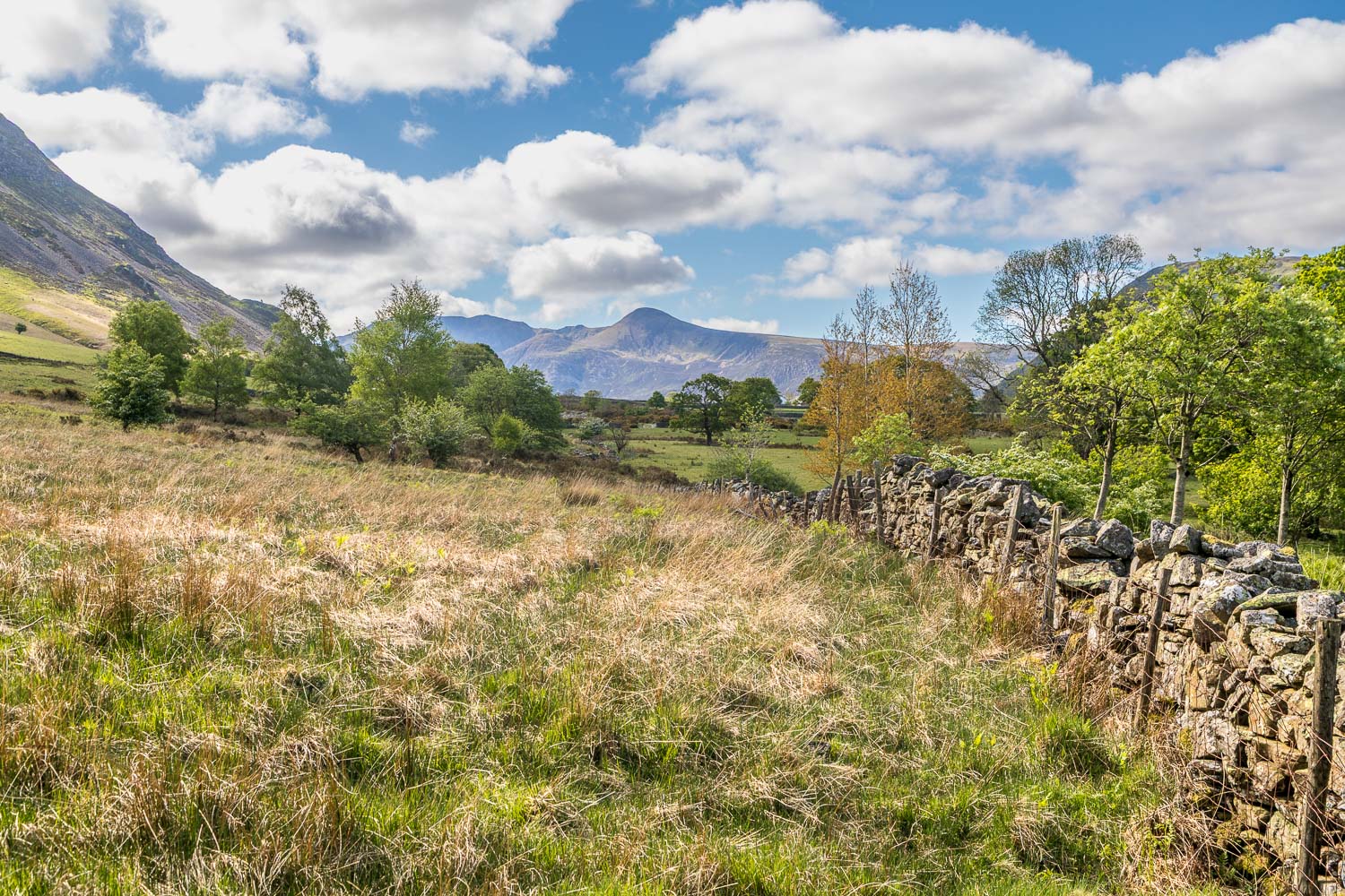
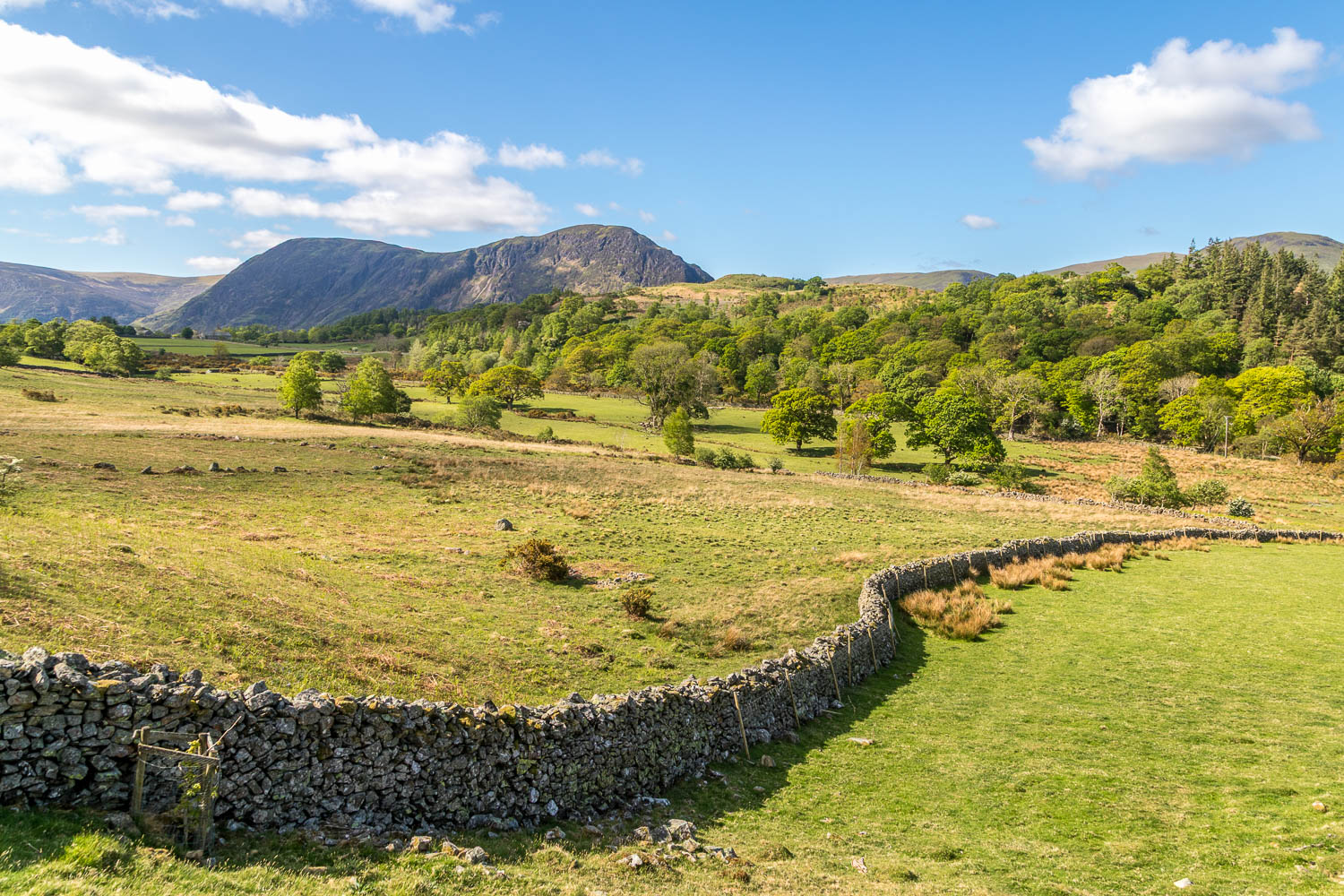
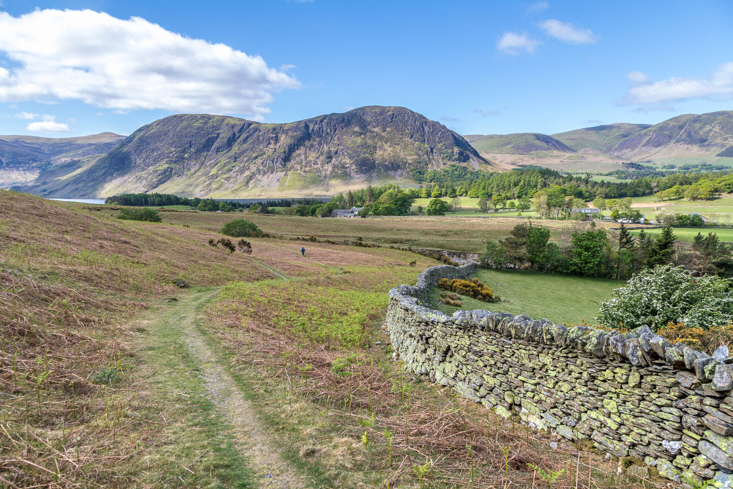
As on the last occasion here we parked in one of the free spaces by Lanthwaite Green Farm. We decided to vary the direction of travel by walking clockwise (note that the route map goes the other way, but it doesn’t really matter which way the walk is tackled). We headed beside the Buttermere road for a few yards before turning left to walk past Lanthwaite Green Farm and across the fields into Lanthwaite Wood. A short and simple climb brought us to the top of Brackenthwaite Hows, also known as Lanthwaite Hill. The views were as good as ever, and a large chunk of the western Lake District may be seen from here including Crummock Water, Loweswater and Lorton Vale – follow the link for a panorama
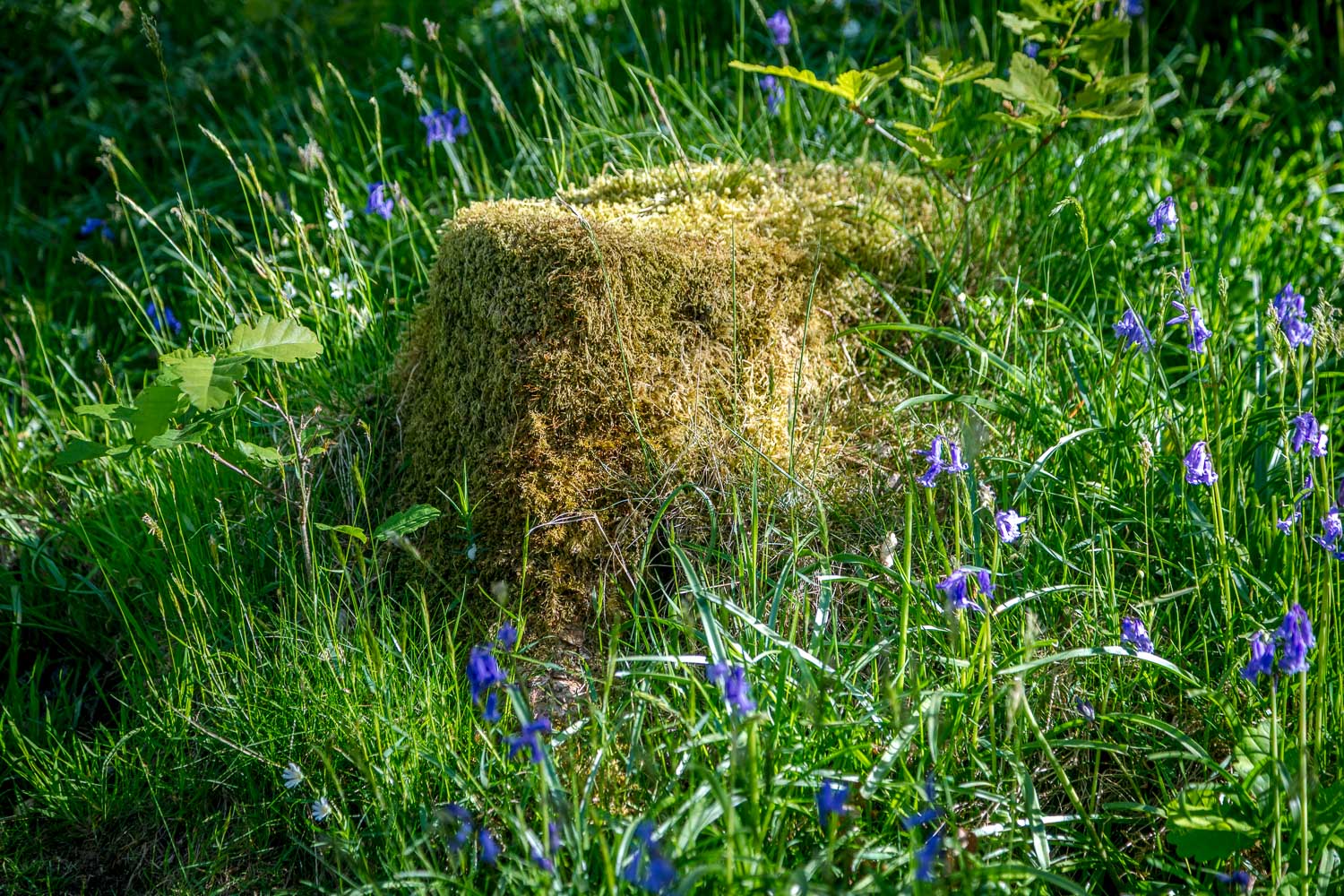
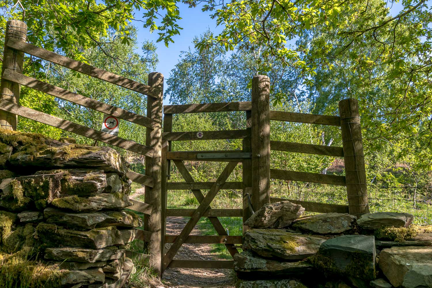
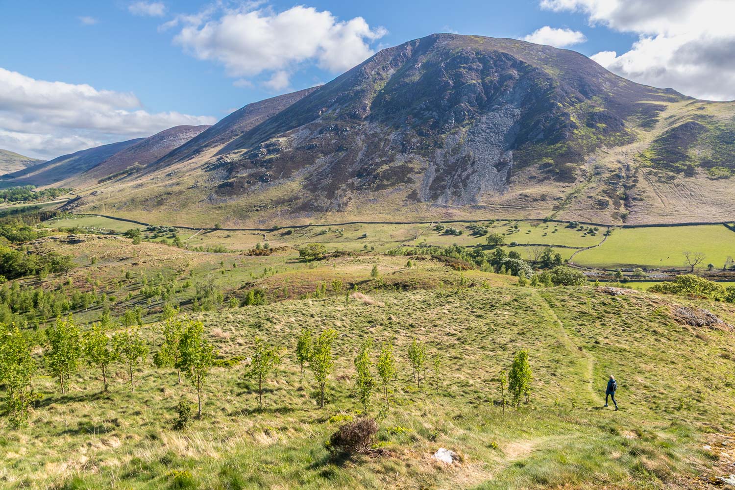
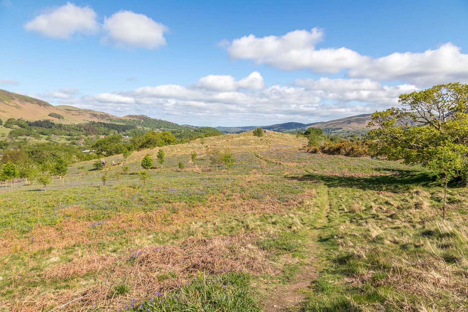
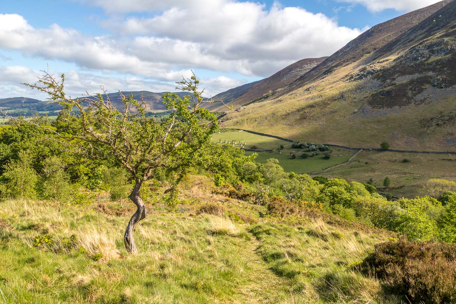
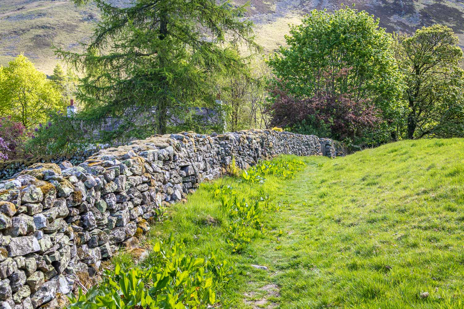
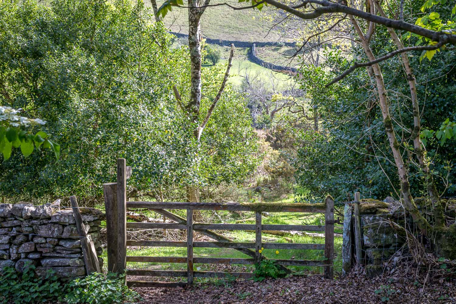
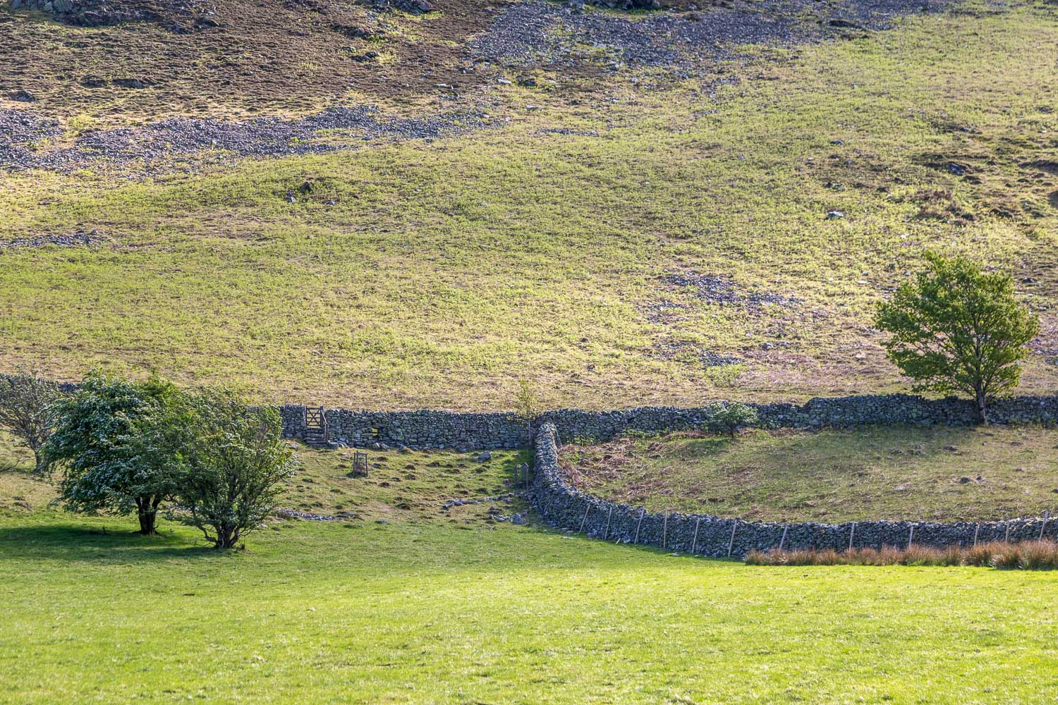
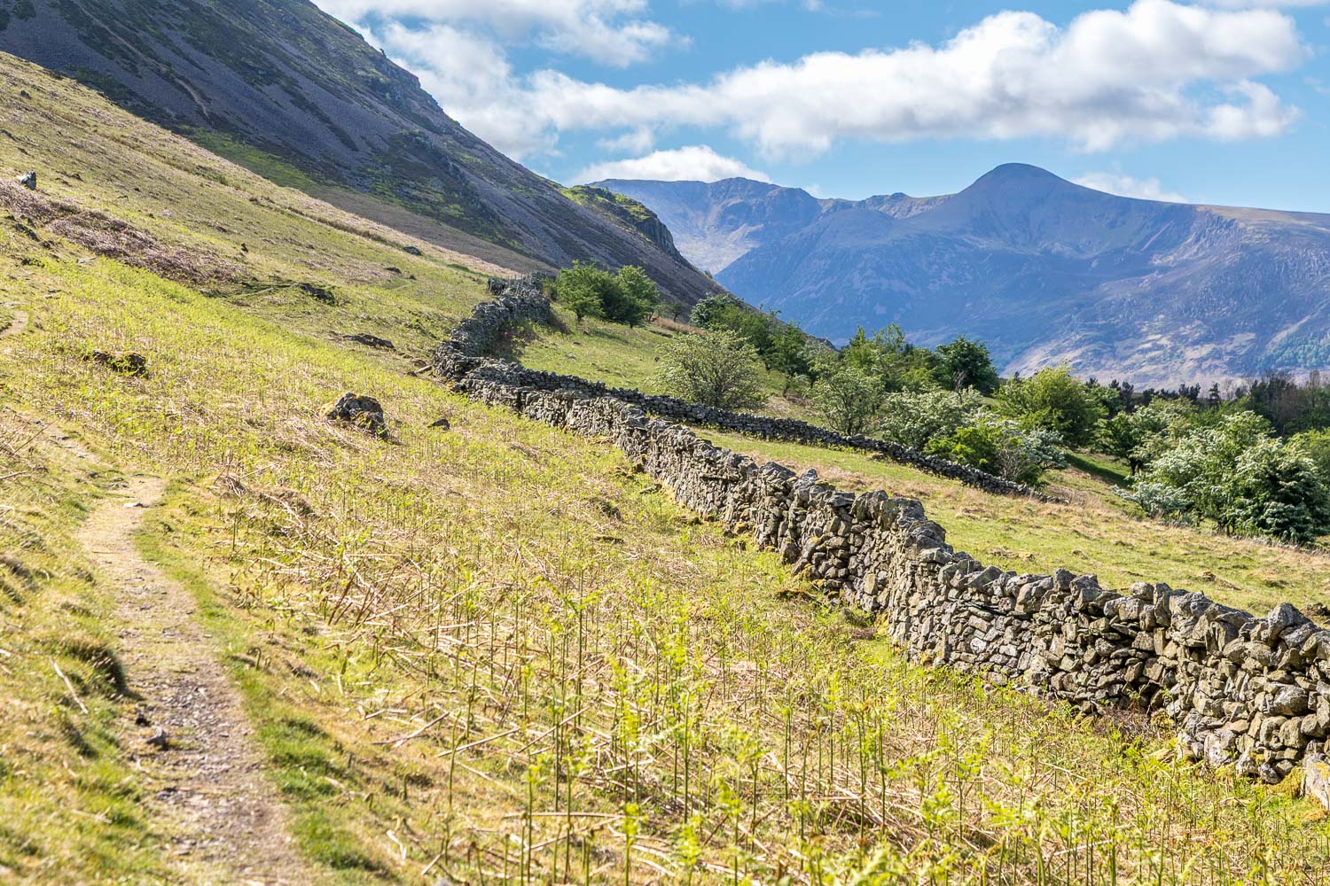
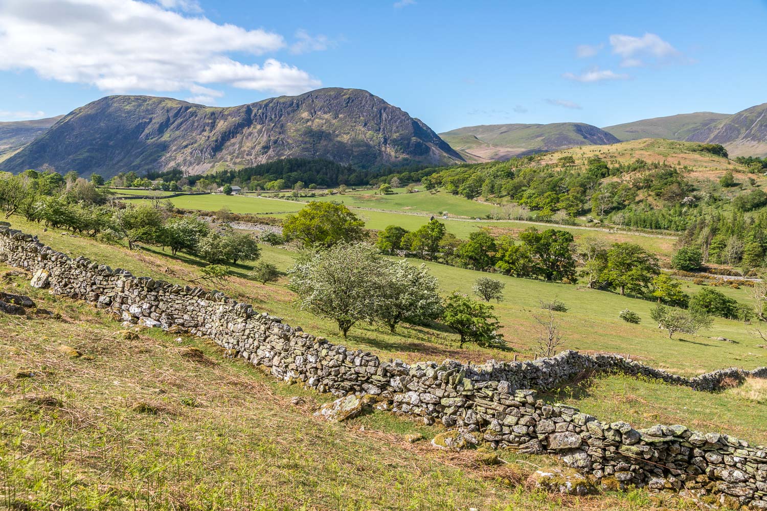
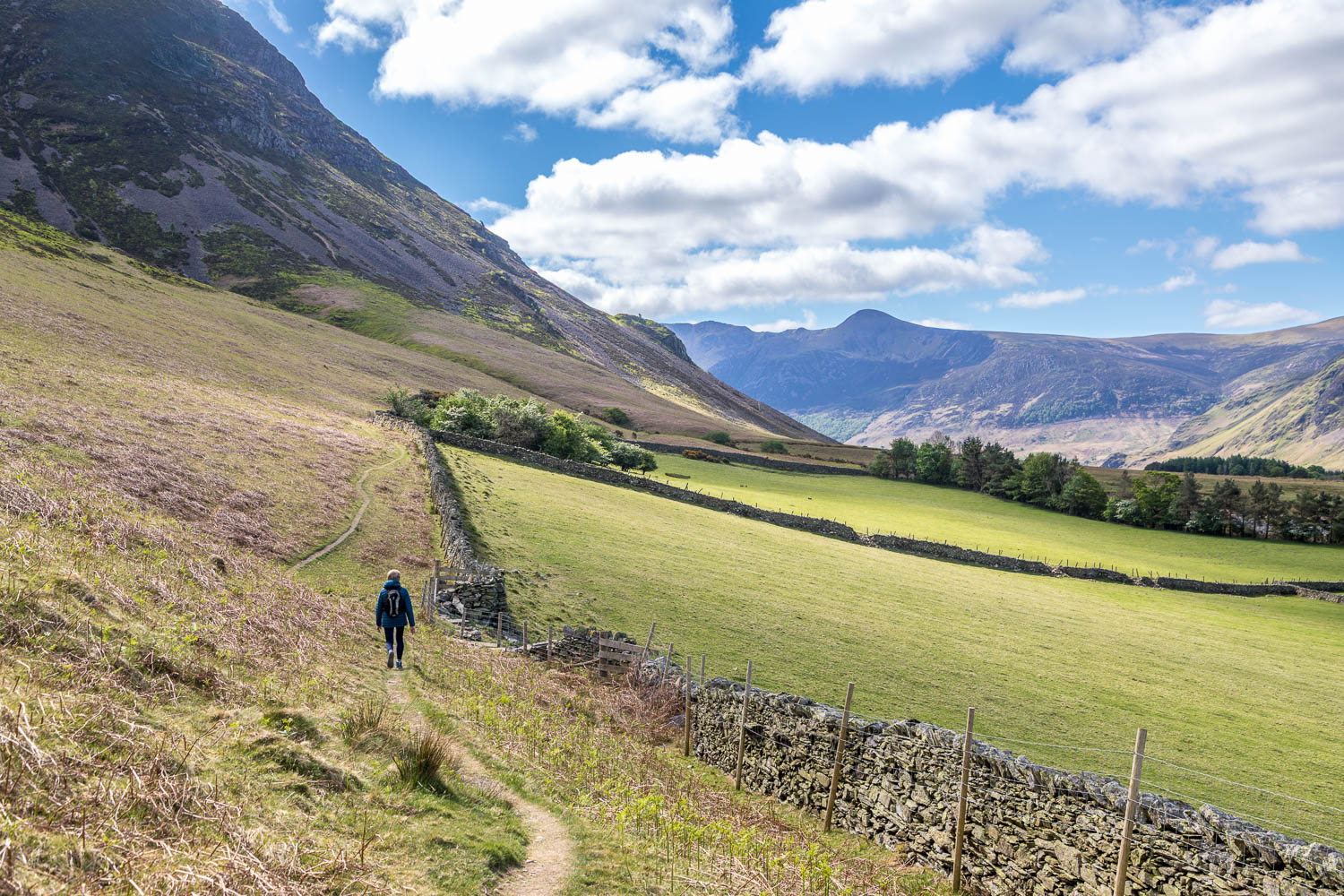
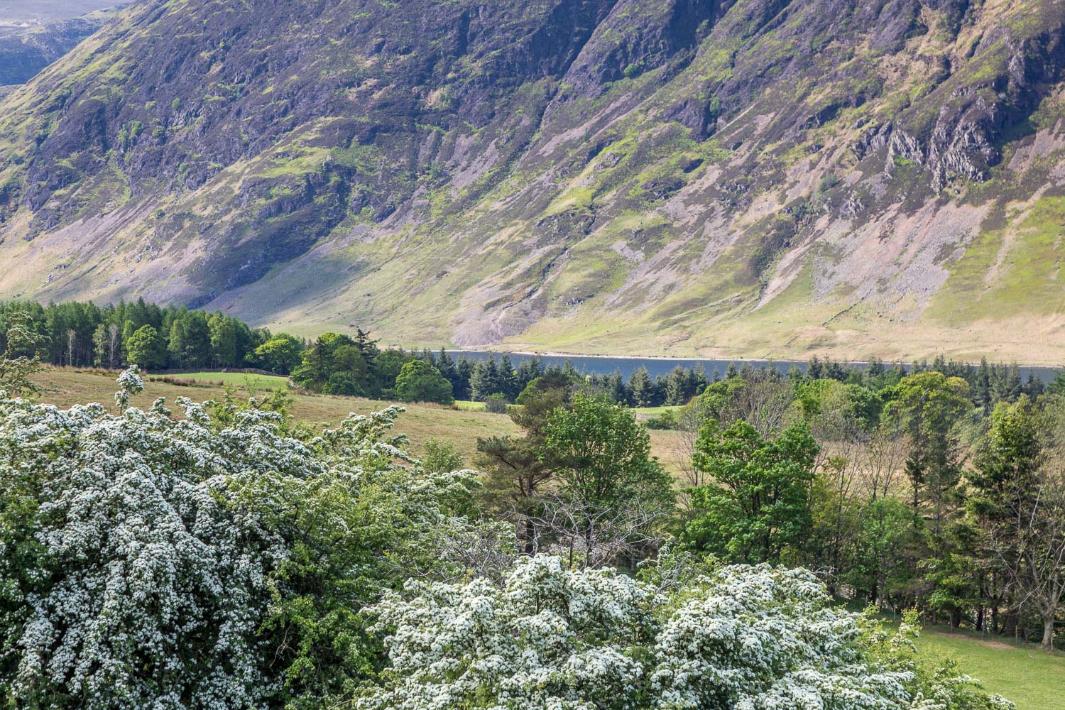
We descended gently along the ridge in the direction of Lorton Vale, passing through swathes of bluebells along the way, a wonderful sight – and scent. We followed the narrow path down to Beck House, where we crossed the Buttermere road and passed through a gate. This leads to a section which is usually quite boggy, but in view of prolonged sunny weather it was relatively dry for a change. We crossed the field and climbed up to the fell wall below the crags of Whiteside. We turned right here to followed the elevated path above Lorton Vale which brought us back to Lanthwaite Green and the end of a perfect short walk. Even though it was a bank holiday weekend, we hadn’t seen another soul along the way
For other walks here, visit my Find Walks page and enter the name in the ‘Search site’ box
Click on the icon below for the route map (subscribers to OS Maps can view detailed maps of the route, visualise it in aerial 3D, and download the GPX file. Non-subscribers will see a base map)
Scroll down – or click on any photo to enlarge it and you can then view as a slideshow


