
Route: Barton Waterside
Area: North Lincolnshire
Date of walk: 21st January 2020
Walkers: Andrew and Gilly
Distance: 5.8 miles
Ascent: 100 feet
Weather: sunny
I’ve walked along the south bank of the Humber several times before, but on previous occasions have headed west, towards South Ferriby – click here for one such visit. Today we decided to walk east for the first time, in the direction of Barrow Haven and New Holland
Although the Humber is often called a river, and is described as such on the OS map, it is in fact an estuary and varies with the sea tides. It is formed at Faxfleet, by the confluence of the tidal rivers Ouse and Trent. From there to the North Sea it forms part of the boundary between the East Yorkshire on the north bank and North Lincolnshire on the south bank. Low tide exposes areas of mudflat, home to millions of small worms, shrimps and snails which provide food for many of the 130,000 birds that visit the area each year
We parked at Barton Haven, part of the wider area of Barton Waterside, near the spectacular Humber Bridge. The bridge was once the longest single span suspension bridge in the world, and is now a Grade I listed building. After crossing a small inlet we walked through Waters Edge Country Park. This park is now home to a nature reserve, but until the late 1990s this was one of the most contaminated industrial sites in the UK and the ground was saturated with toxic water from chemical factories. Following a multi-million pound reclamation project the site was transformed into a Local Nature Reserve and is now protected long into the future by various legal designations
We didn’t have time today to explore the park properly and contented ourselves with striding out along the embankment above the Humber, stopping when we reached Barrow Haven. From here the path continues for many miles, and anyone with enough time and energy could follow it as far as Grimsby. A circular inland return route is possible by walking through Barrow Haven and joining a public footpath beyond it, but we’d enjoyed the waterside walk and decided to retrace our steps back to the start
For other walks here, visit my Find Walks page and enter the name in the ‘Search site’ box
Click on the icon below for the route map (subscribers to OS Maps can view detailed maps of the route, visualise it in aerial 3D, and download the GPX file. Non-subscribers will see a base map)

Scroll down – or click on any photo to enlarge it and you can then view as a slideshow

The Humber Bridge from the car park at Barton Haven at the start of today's walk

We pass by the start of the long distance Viking Way, officially opened in 1997

Ferry Landing at Barton Haven - ferries from Hull and Hessle used to land here


The outlet of Ferry Landing, and the Humber Bridge

Looking across the reedbeds to Hull on the far side of the Humber...


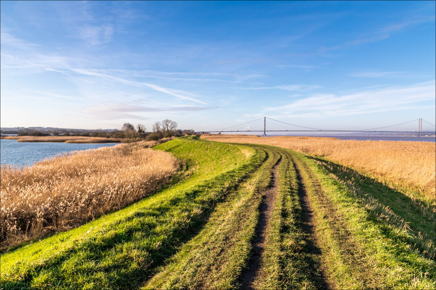
Views back to the Humber Bridge


We pass by some of the reclaimed clay pits


This is as far as we go - Barrow Haven, and from here we retrace our steps

A detour into Waters Edge Country Park...


Greylag goose


Reed bunting...


Back to the start of a pleasant walk
Follow the link for more walks in Lincolnshire (26)
