Route: Crummock Water circuit
Area: Western Lake District
Date of walk: 12th May 2025
Walkers: Andrew
Distance: 9.1 miles
Ascent: 400 feet
Weather: Mixed sun and cloud, very warm
The full Crummock Water circuit is quite long, nearly twice the length of its sister lake Buttermere, but it has the advantage of being far quieter and equally beautiful. Anyone wishing to shorten the walk could do so by ending at Buttermere village and taking the Honister Rambler bus back to Lanthwaite Farm (check availability)
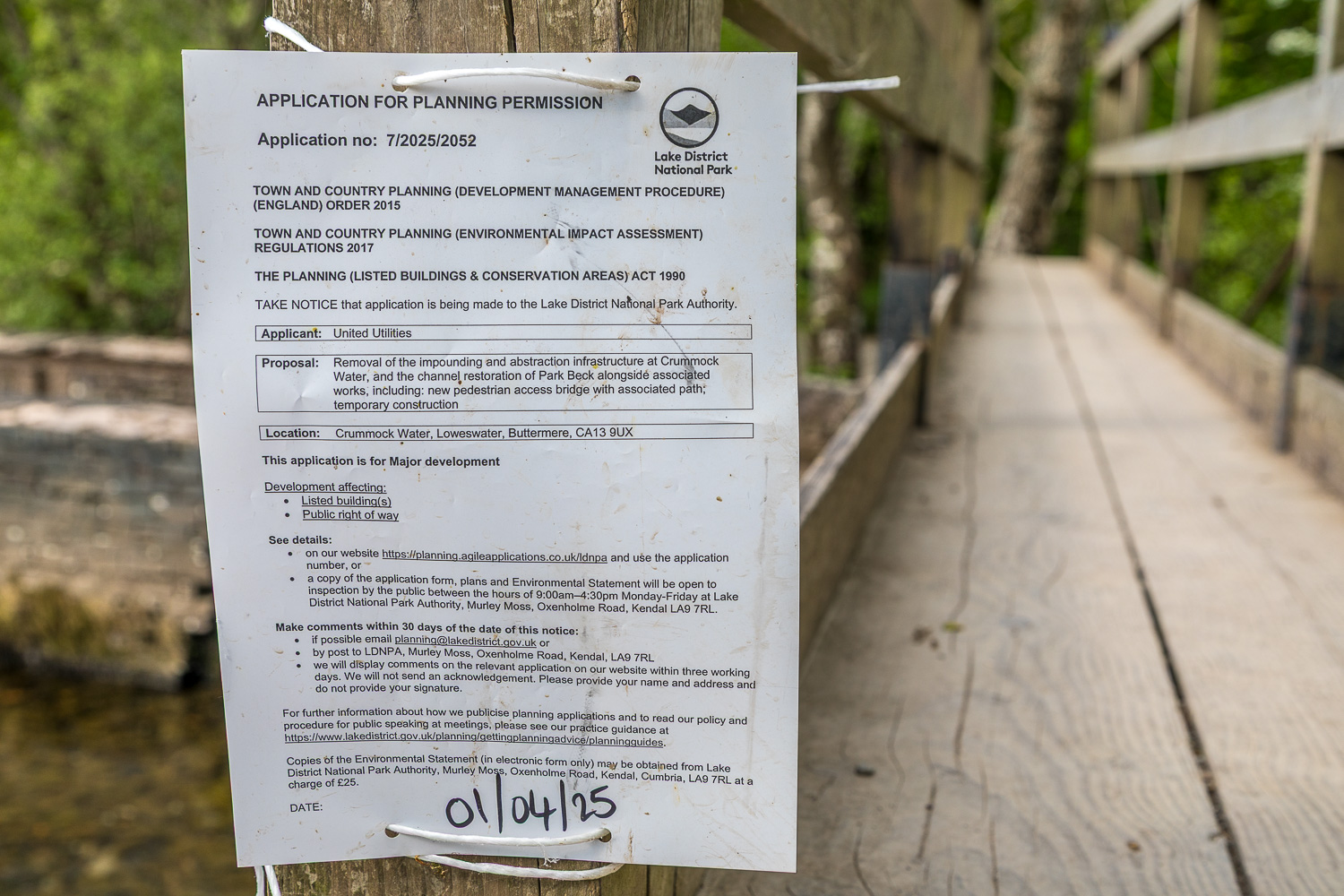
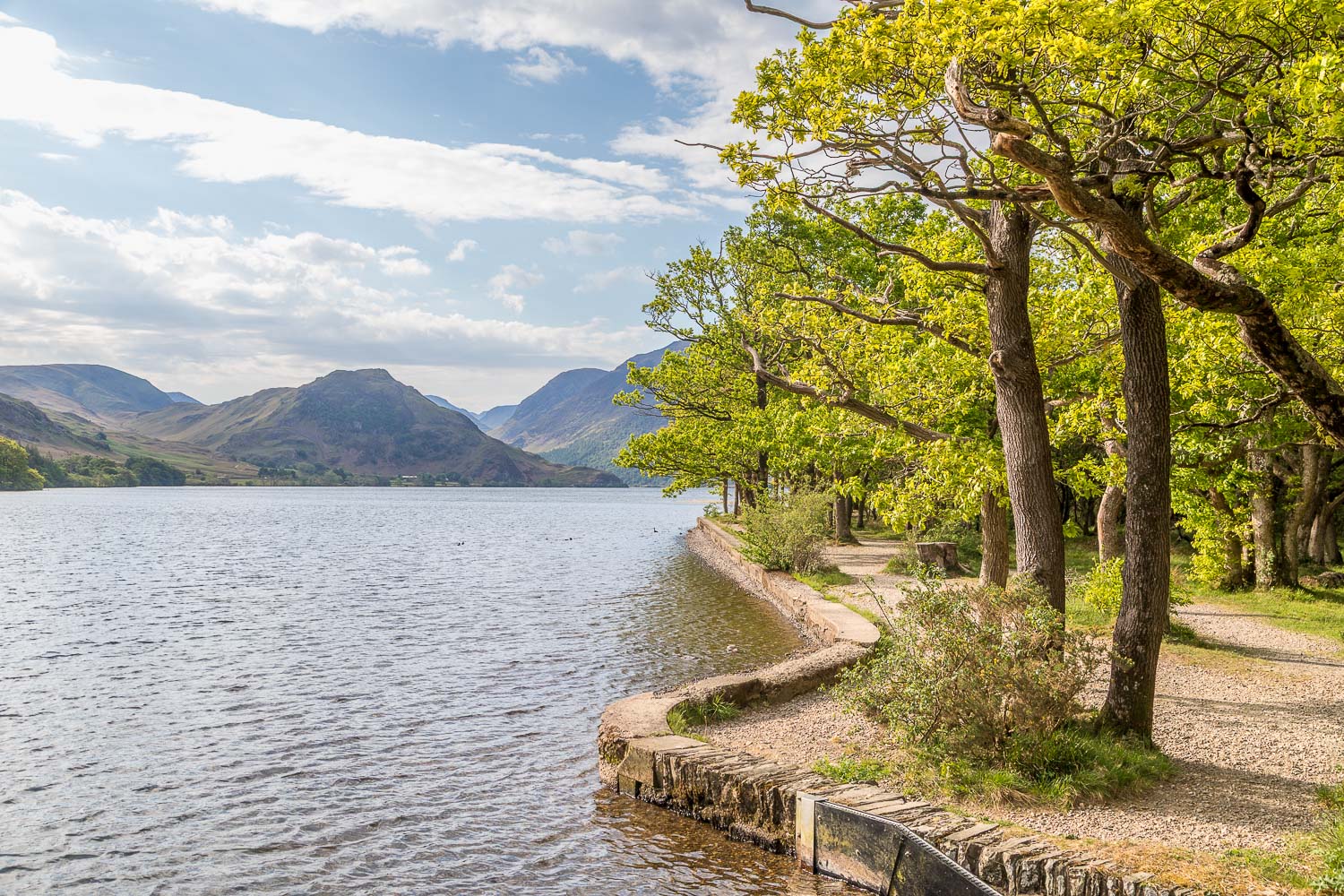
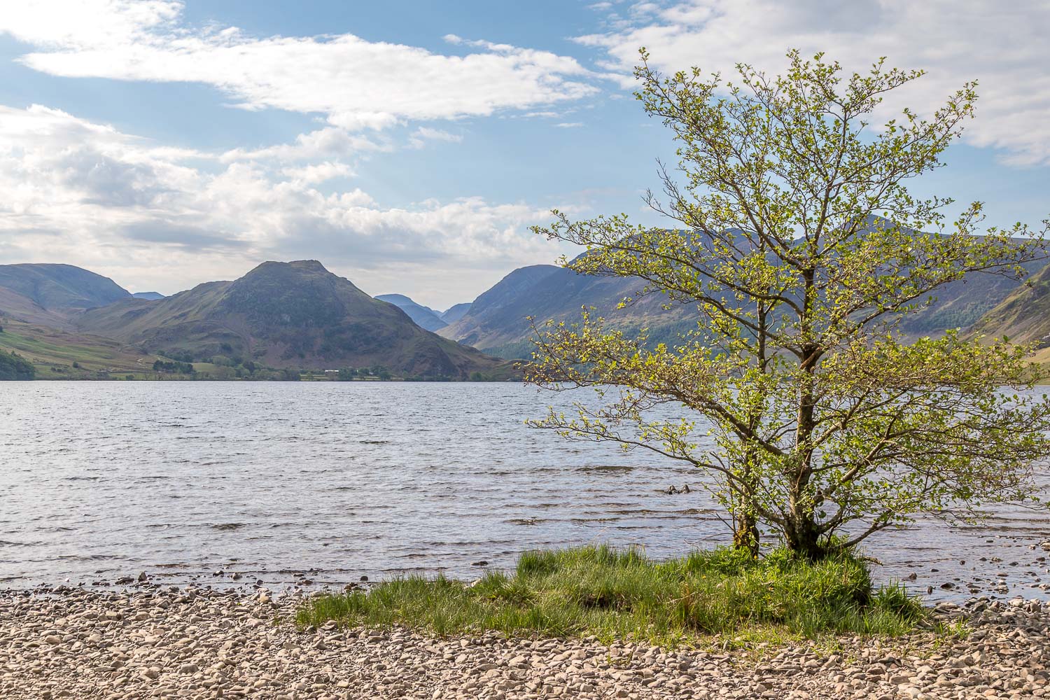
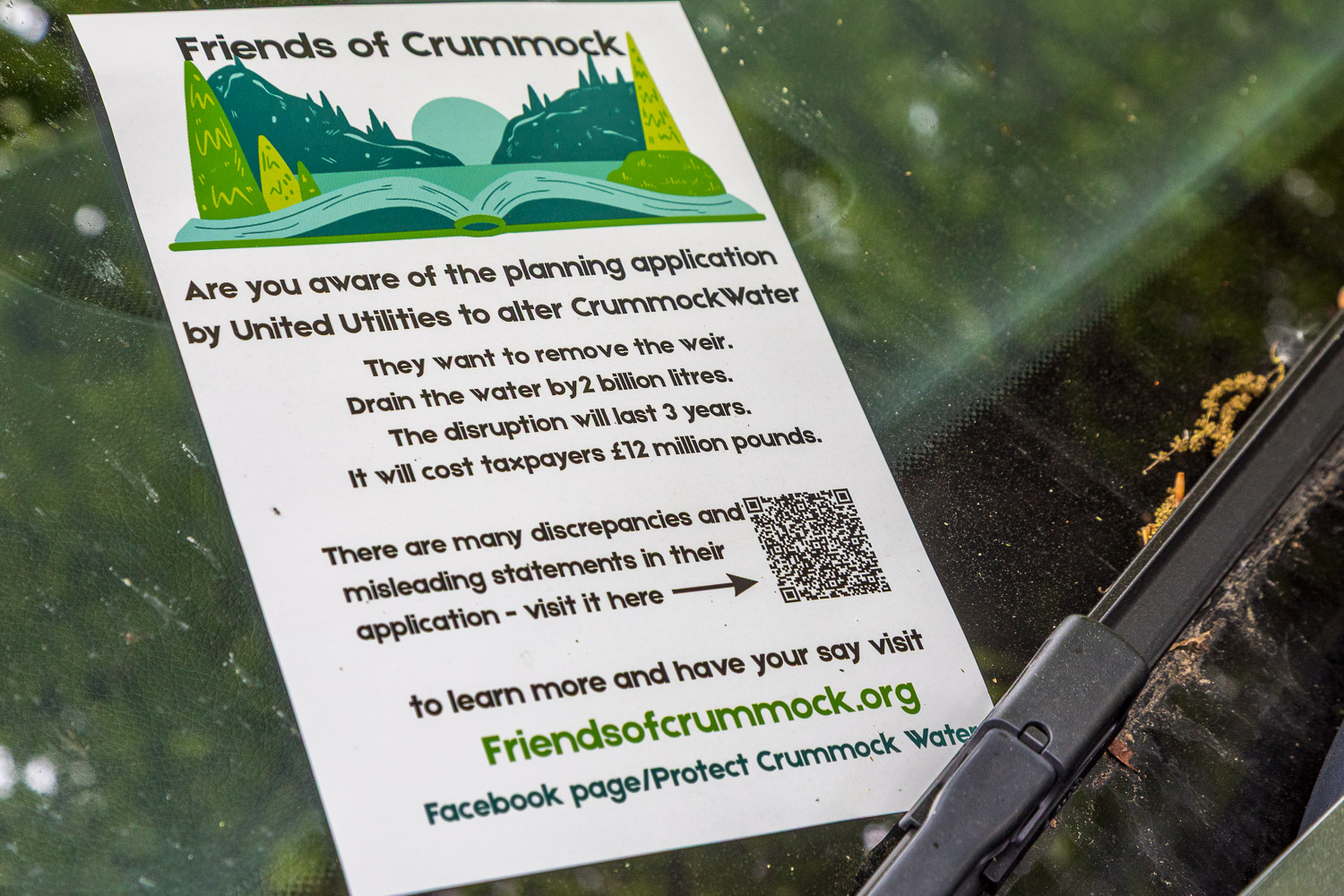
Crummock Water is our local lake and much in my thoughts at the moment as its future is under threat. The lake is a natural reservoir (not created by flooding a valley) and managed by United Utilities (‘UU’). The water company has decided that water from Thirlmere reservoir is sufficient for local needs and that Crummock Water can be decommissioned. Ironically, there has been no rain for over two weeks and reservoir levels are currently only 69% full, indicating a possible drought. UU’s plan is to remove the weir at the foot of Crummock Water along with the concrete infrastructure. All well and good, but the plan involves removing 20% of the water and a large reduction in the level of the lake, some 4.6 feet, which is considerably more than the historic level of the lake. It is thought that the 4.6 figure has been chosen because this will release UU from maintenance obligations under the Reservoirs Act. This would completely alter the appearance of the lake. For more information about these proposals, visit Friends of Crummock
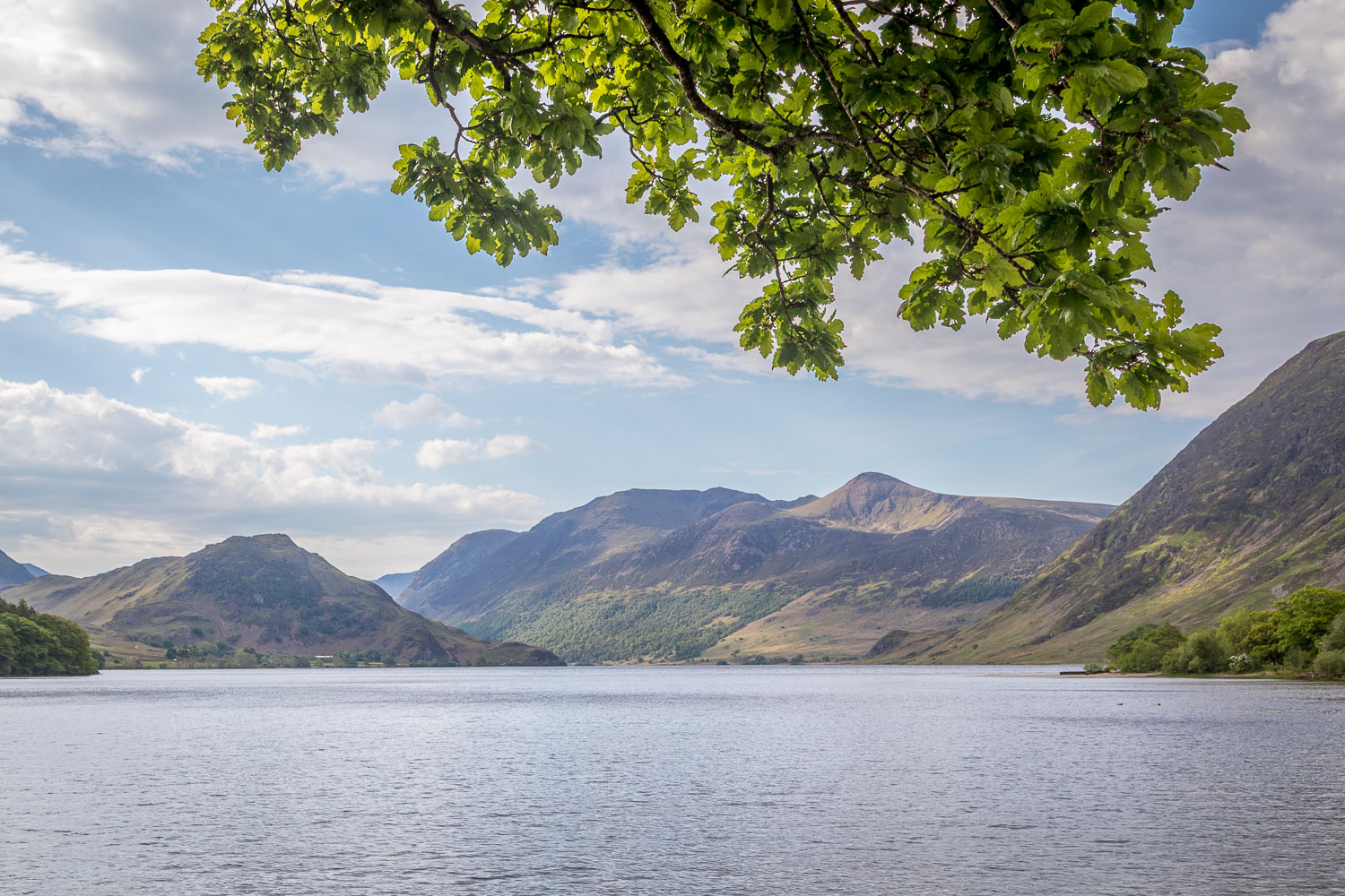
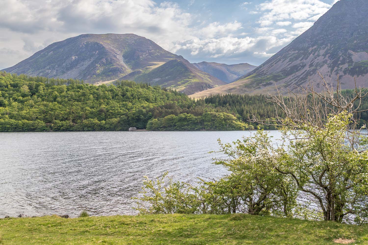
The timeless beauty of Crummock Water through the seasons can be seen here:
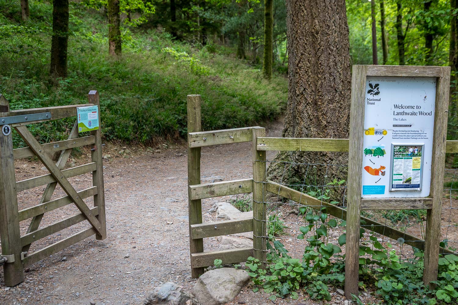
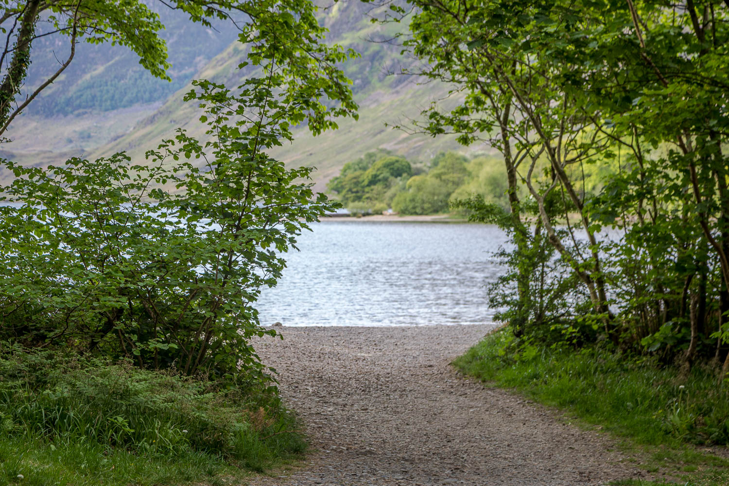
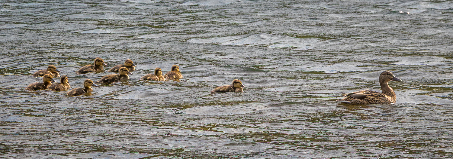
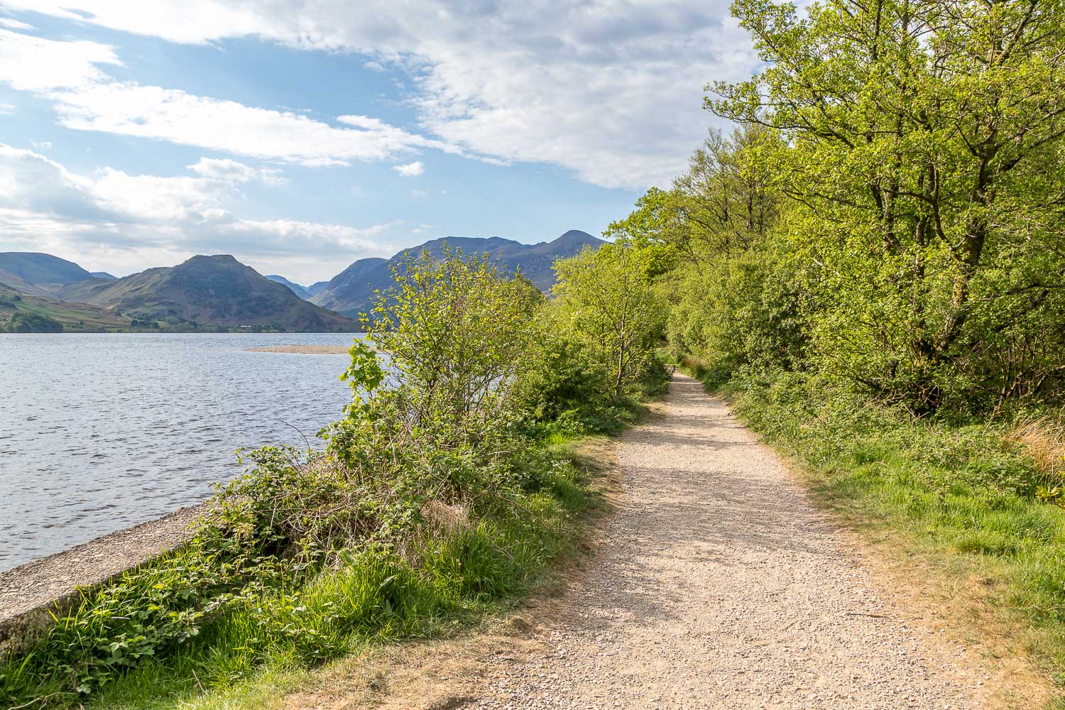
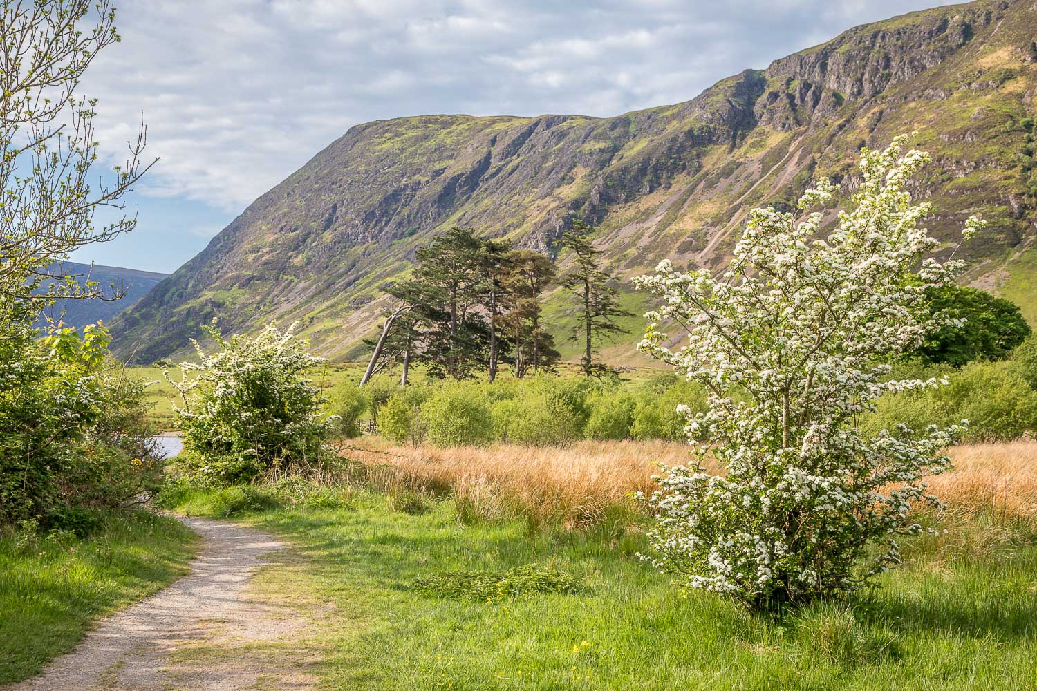
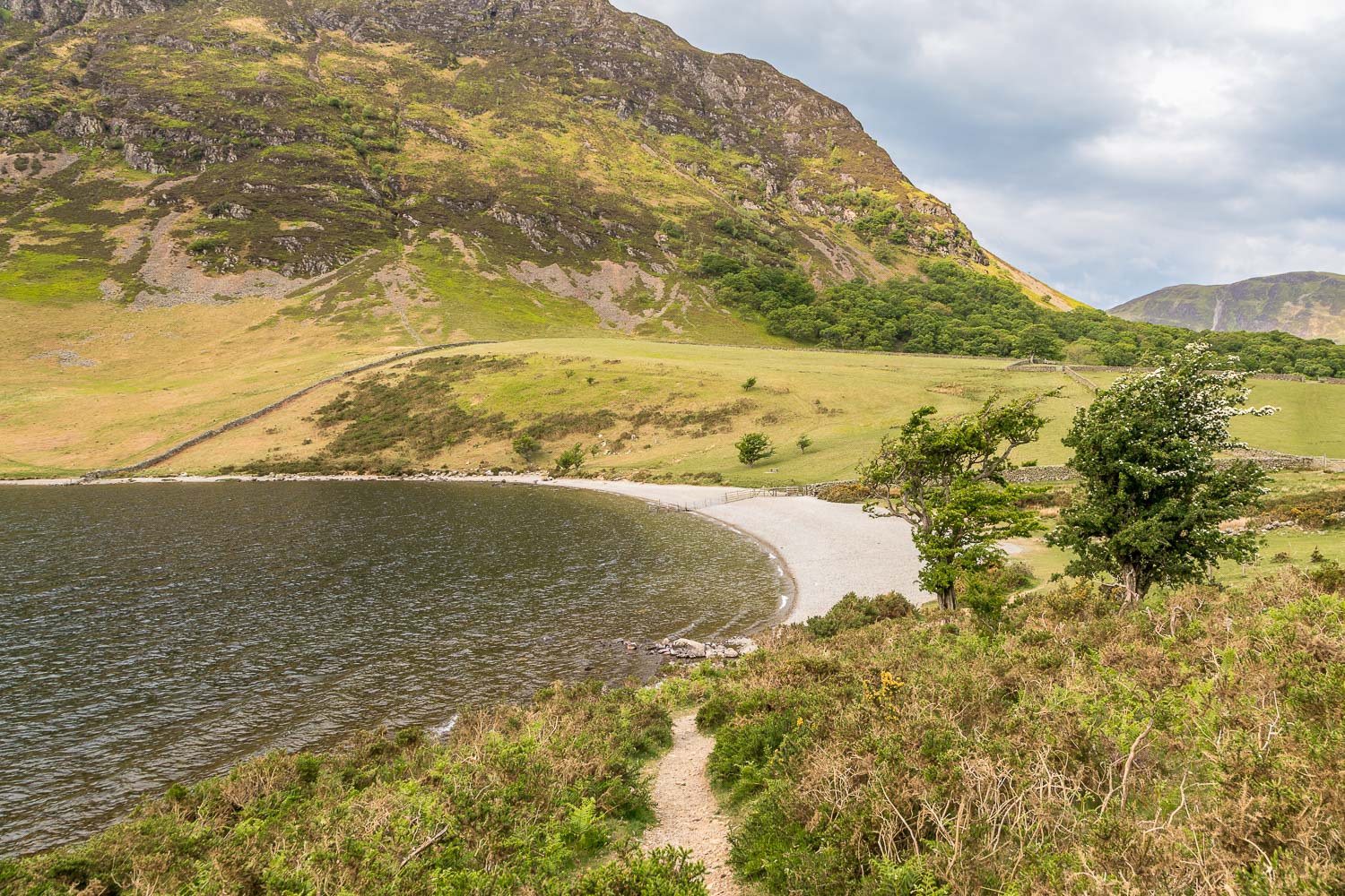
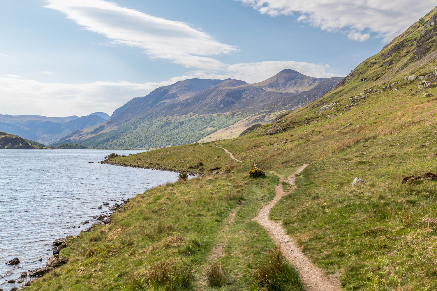
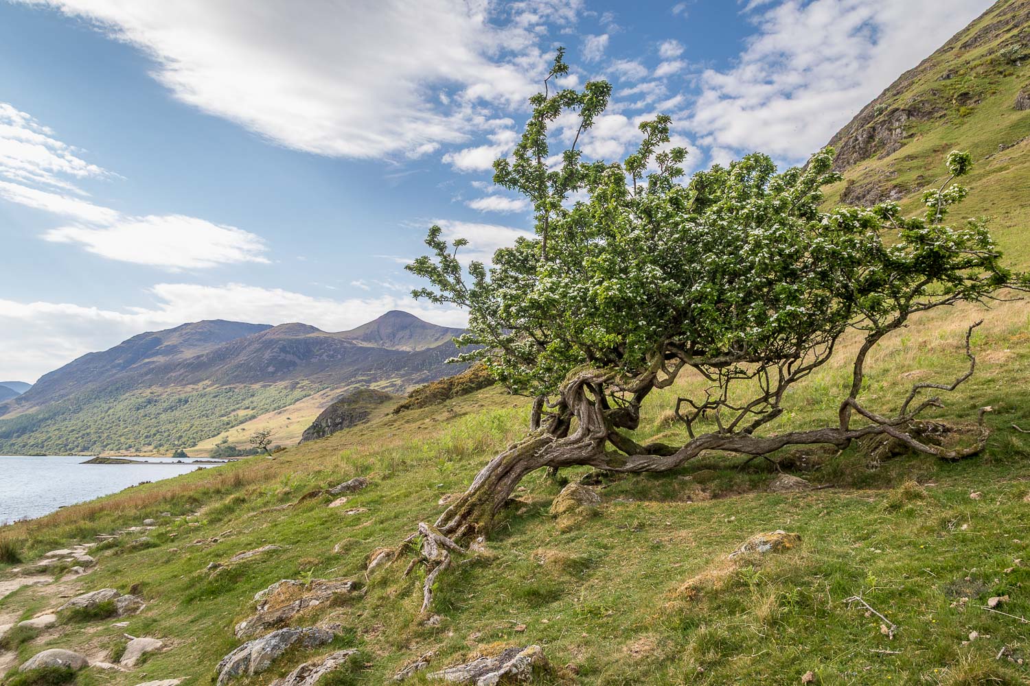
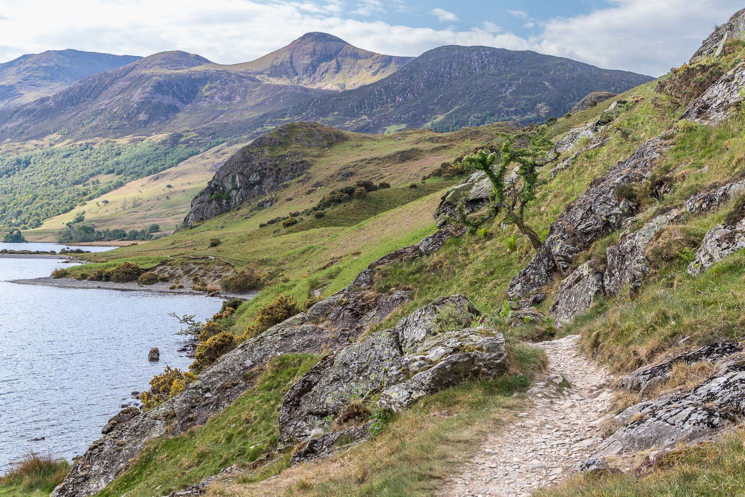
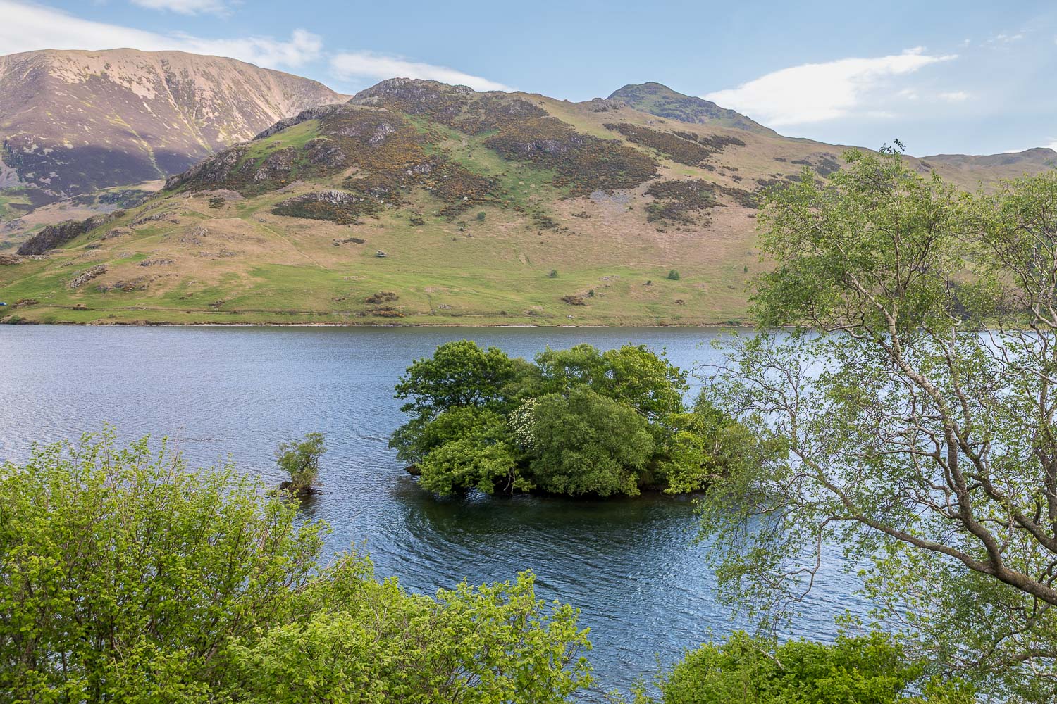
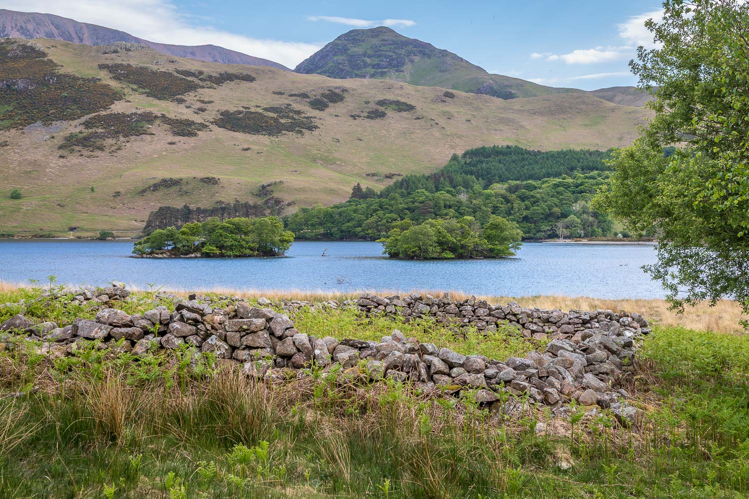
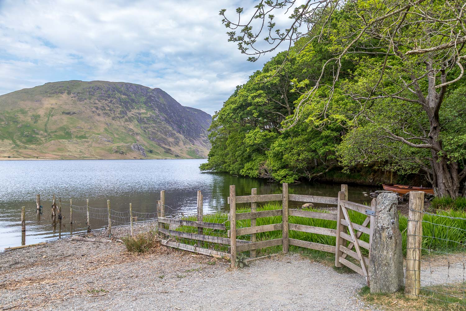
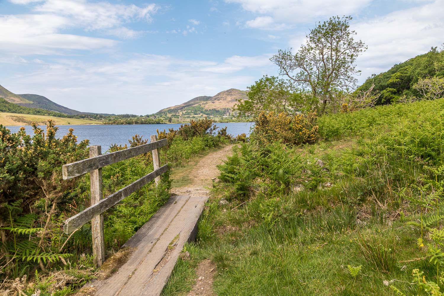
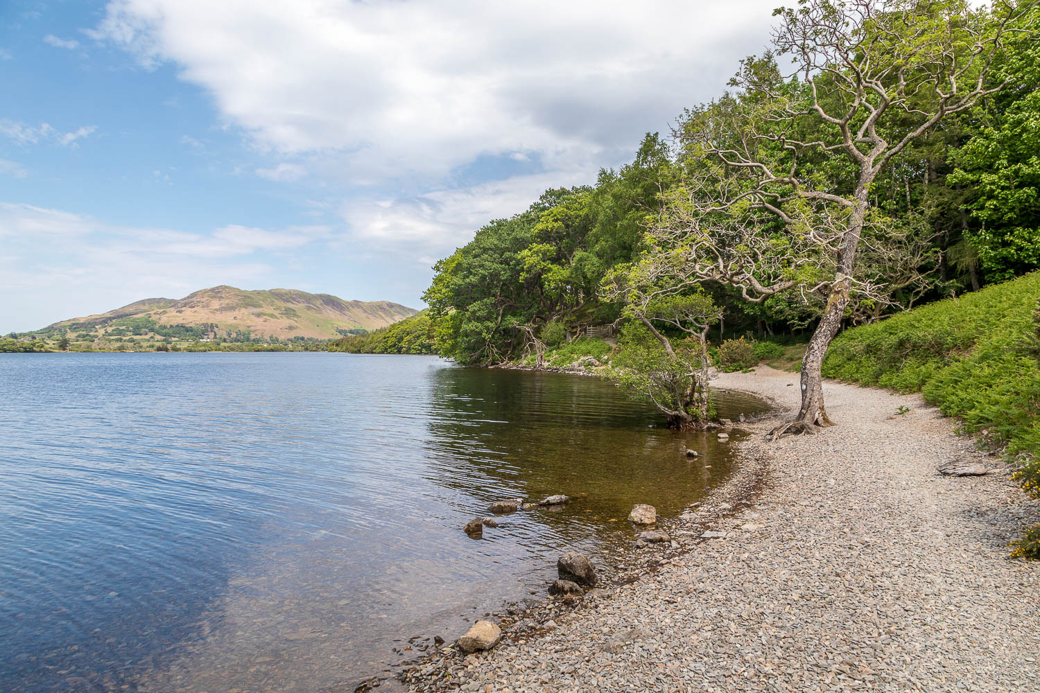
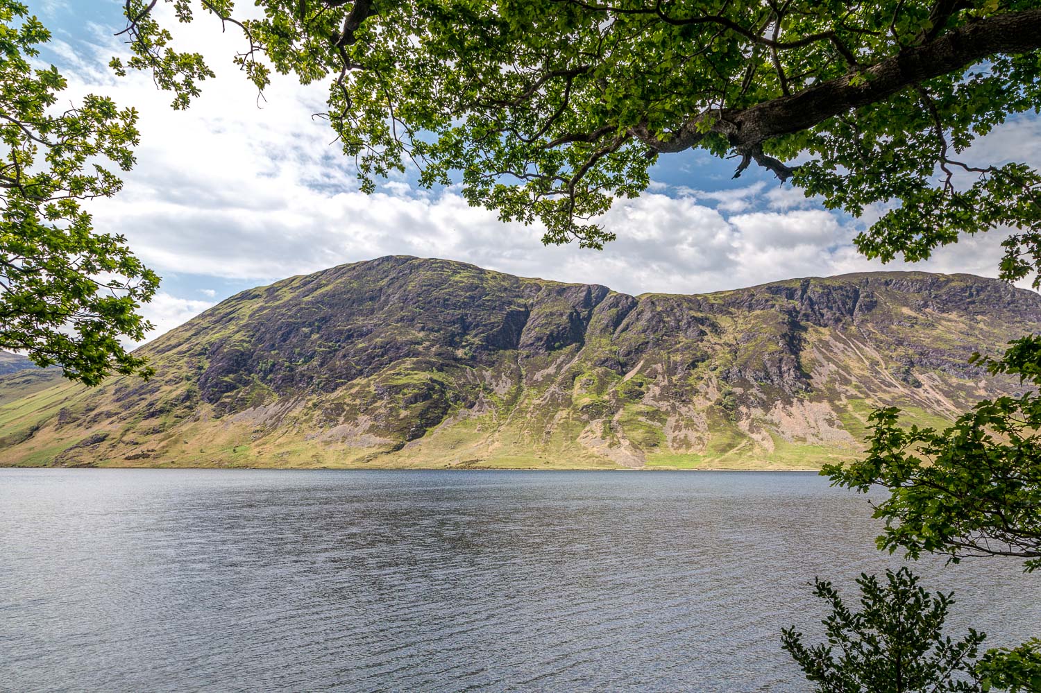
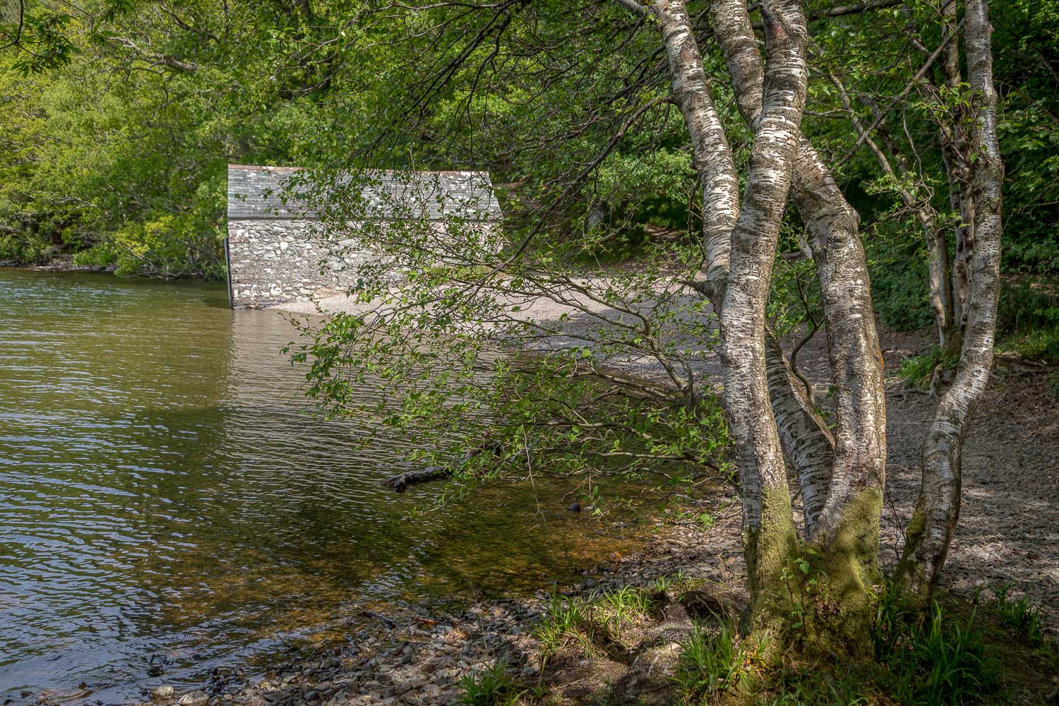
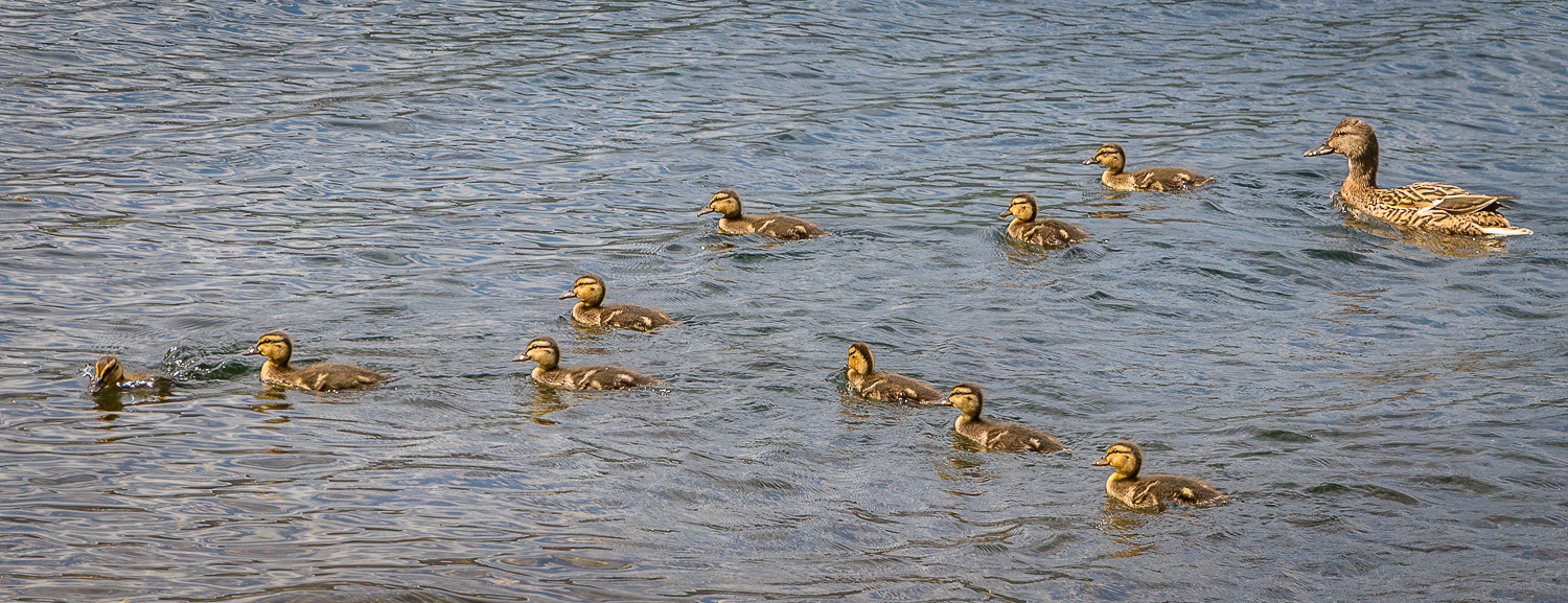
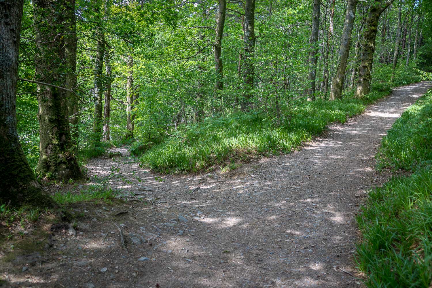
Today’s Crummock Water circuit could start from various places along the route including Buttermere village, but I chose to park in the National Trust car park at Scale Hill. A short walk along a wide track in Lanthwaite Wood brought me to the foot of Crummock Water. I decided to walk around the lake anti-clockwise, which seemed the natural way to go, and crossed over two bridges at the outflow of Crummock Water into the River Cocker. I followed the obvious lakeshore path past the Pump House and along the foot of Mellbreak. The path becomes quite rough in places, and can be boggy at times, but there are no difficulties. Along the way I had good sightings of reed bunting, sandpiper, heron and a mallard with ten ducklings
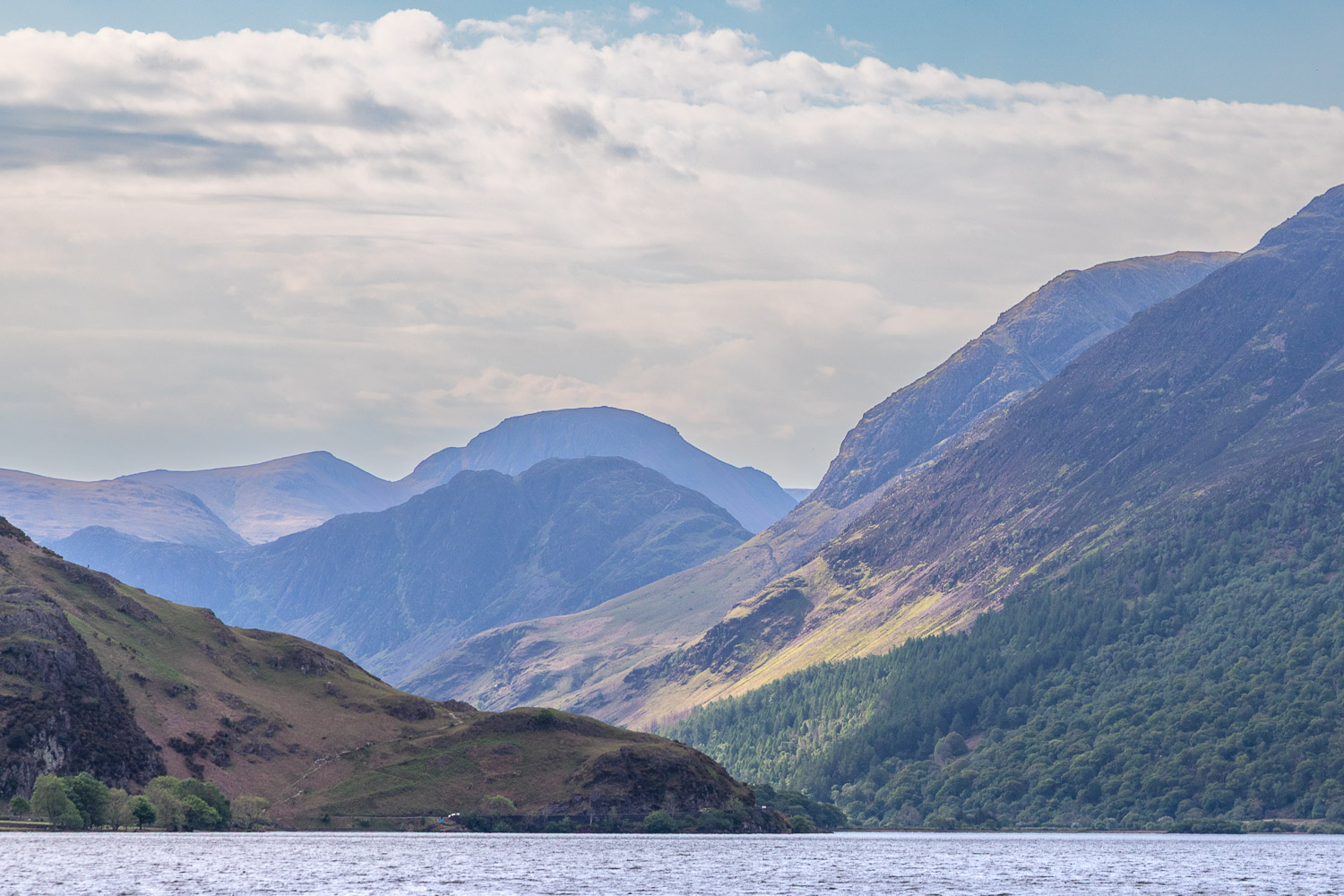
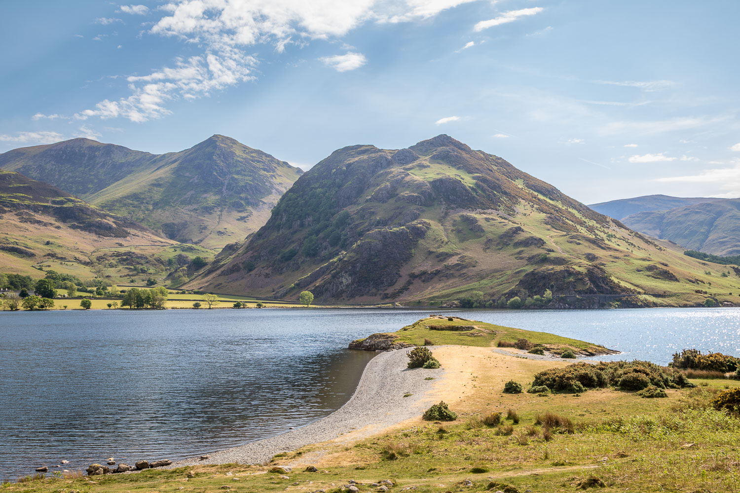
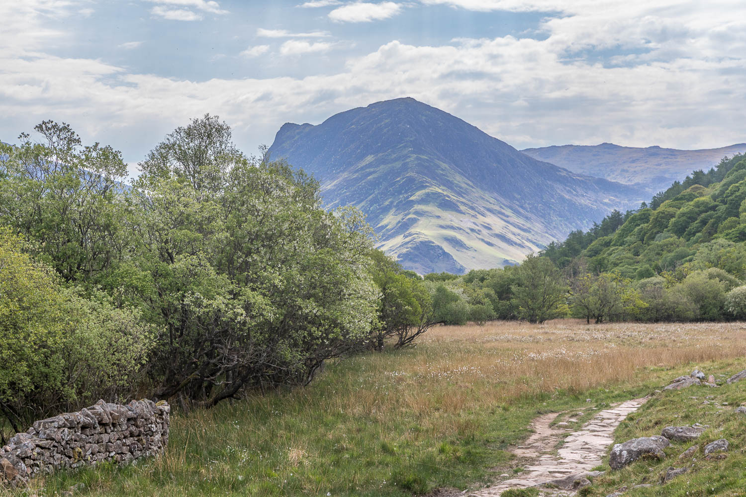
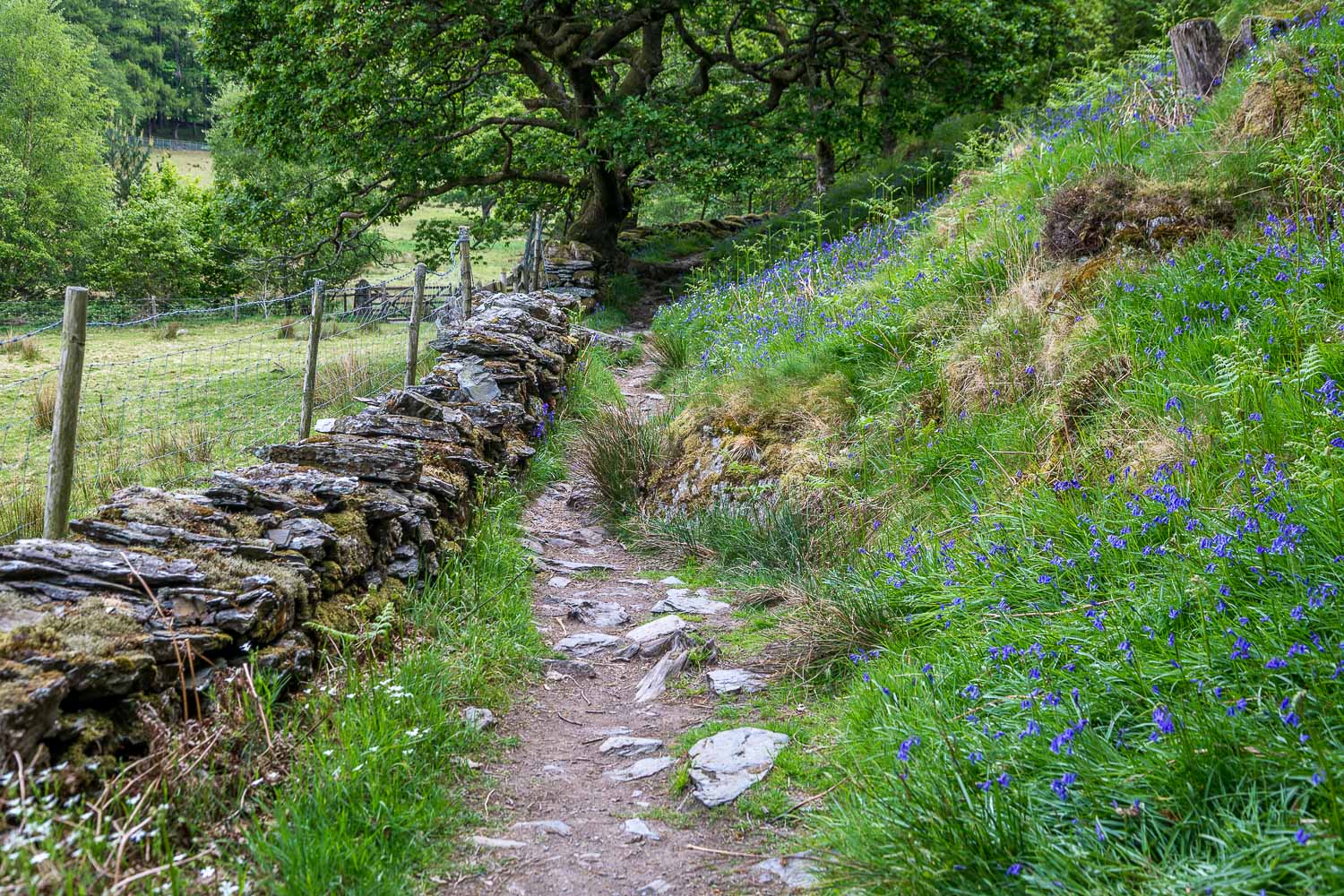
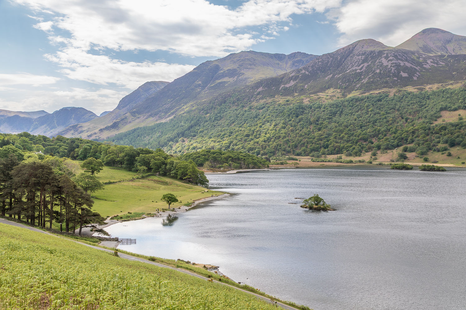
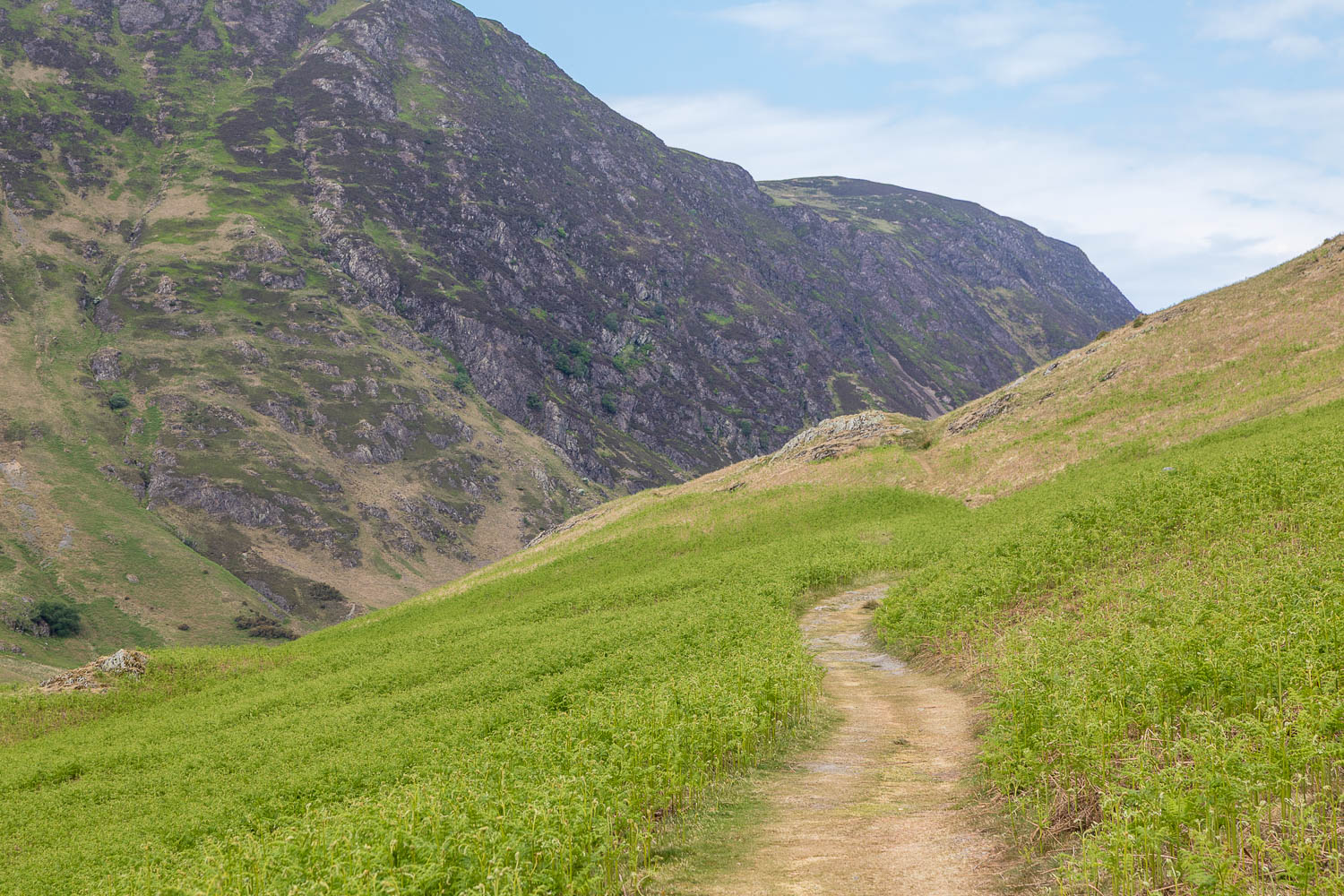
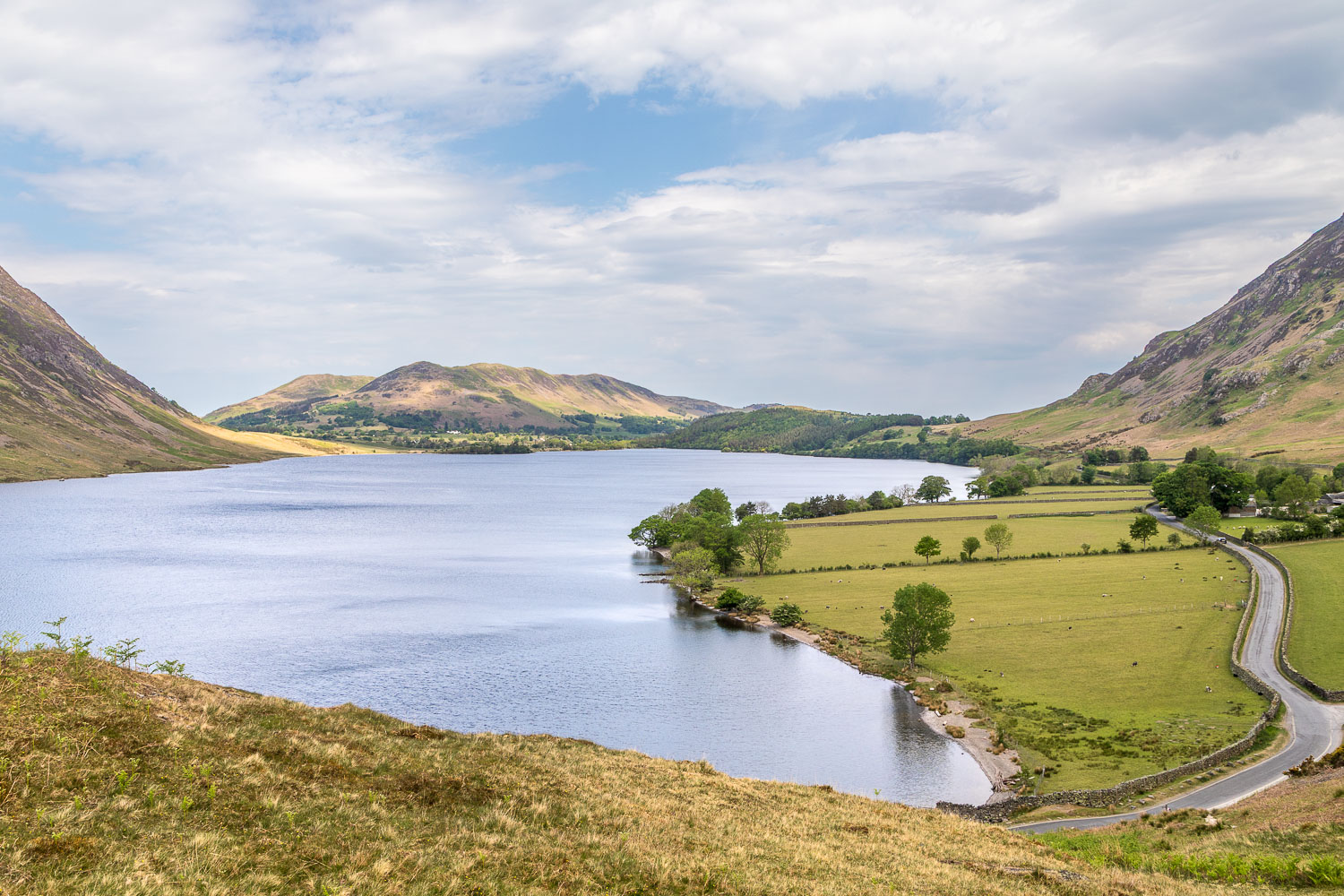
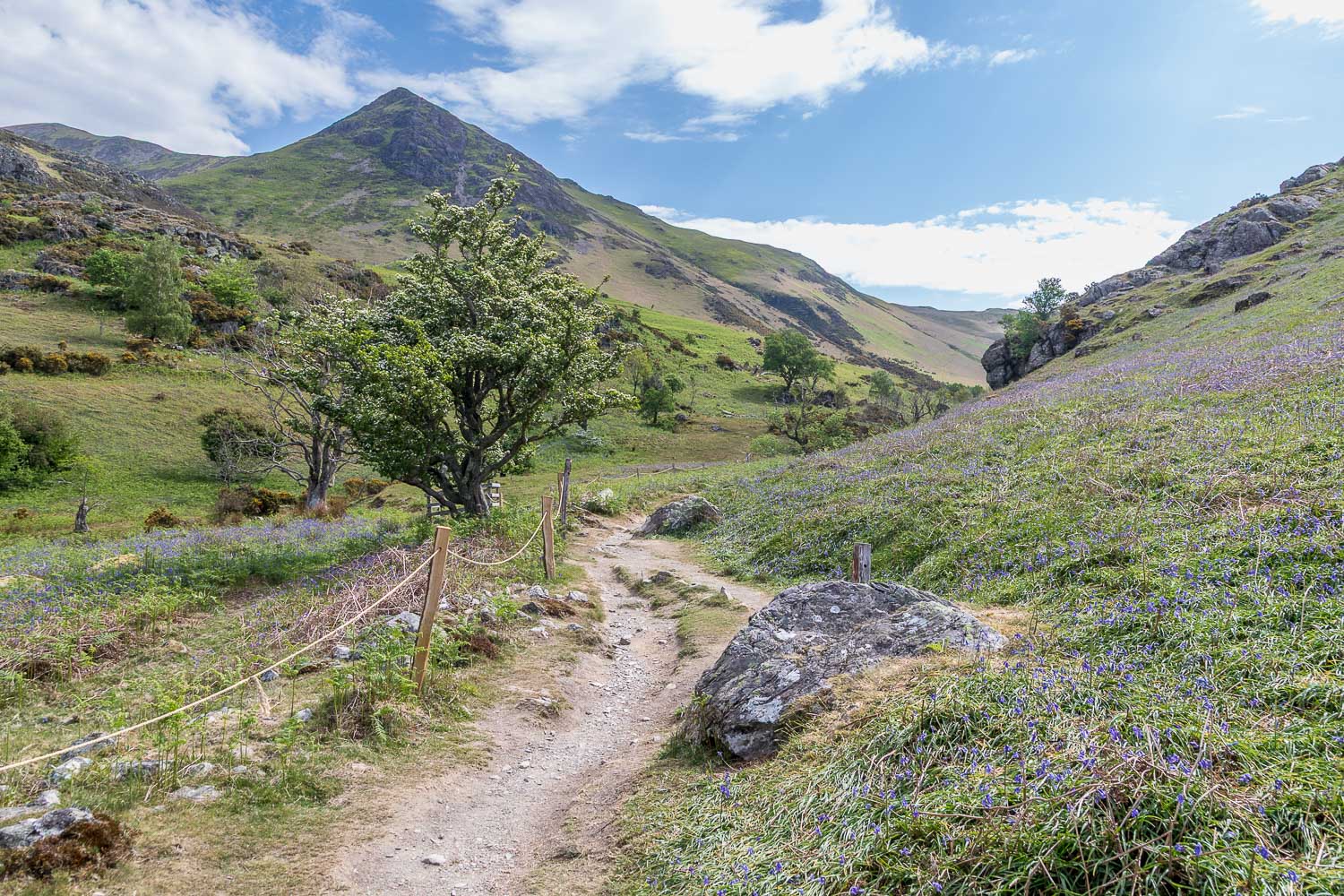
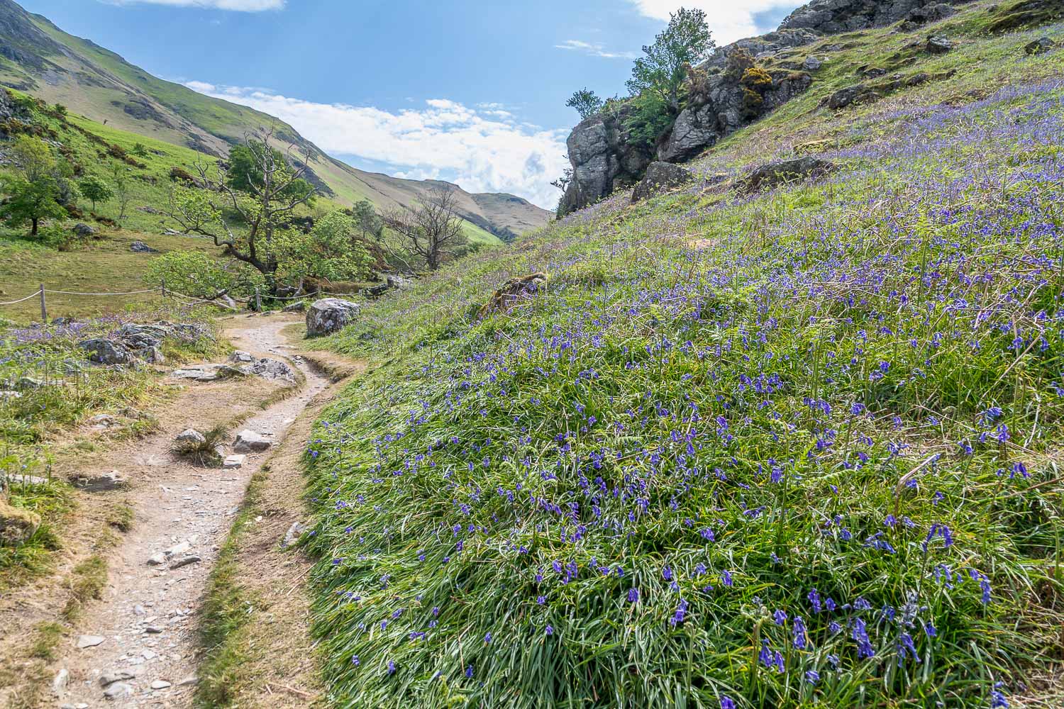
Beyond the head of Crummock Water I crossed Buttermere Dubs via ancient Scale Bridge and walked into Buttermere village. Once in the village I passed through a campsite and arrived at the head of Crummock Water. In order to avoid the Buttermere road, I made the easy climb up a path above Hause Point, from where there are lovely views over the lake. I decided to divert into Rannerdale, firstly to avoid another road section and, secondly, to see if the Rannerdale bluebells were still in bloom. They were, but only just – follow the link to see them earlier in the season
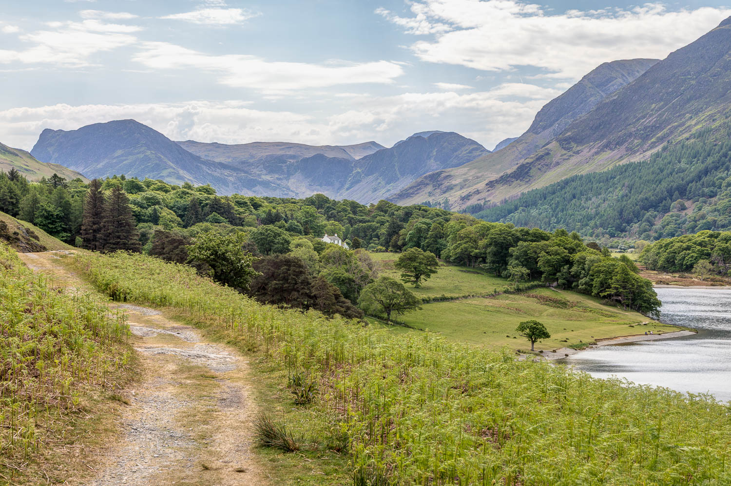
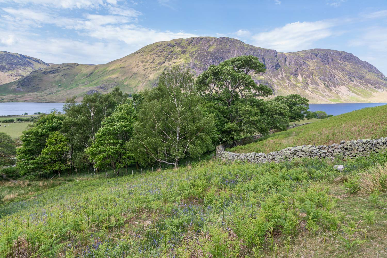
After leaving Rannerdale I regained the shore of Crummock Water near Cinderdale Common and followed paths through High Wood and Lanthwaite Wood back to the start of a wonderful walk. I wonder what these scenes will look like in years to come? Hopefully the plans will be watered down (forgive the pun) and a sympathetic transition can be found
For other walks here, visit my Find Walks page and enter the name in the ‘Search site’ box
Click on the icon below for the route map (subscribers to OS Maps can view detailed maps of the route, visualise it in aerial 3D, and download the GPX file. Non-subscribers will see a base map)
Scroll down – or click on any photo to enlarge it and you can then view as a slideshow
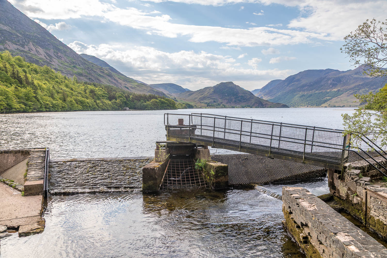
Some of the infrastructure which is scheduled to be removed, no bad thing, but hopefully in a more sympathetic way than the plan would suggest
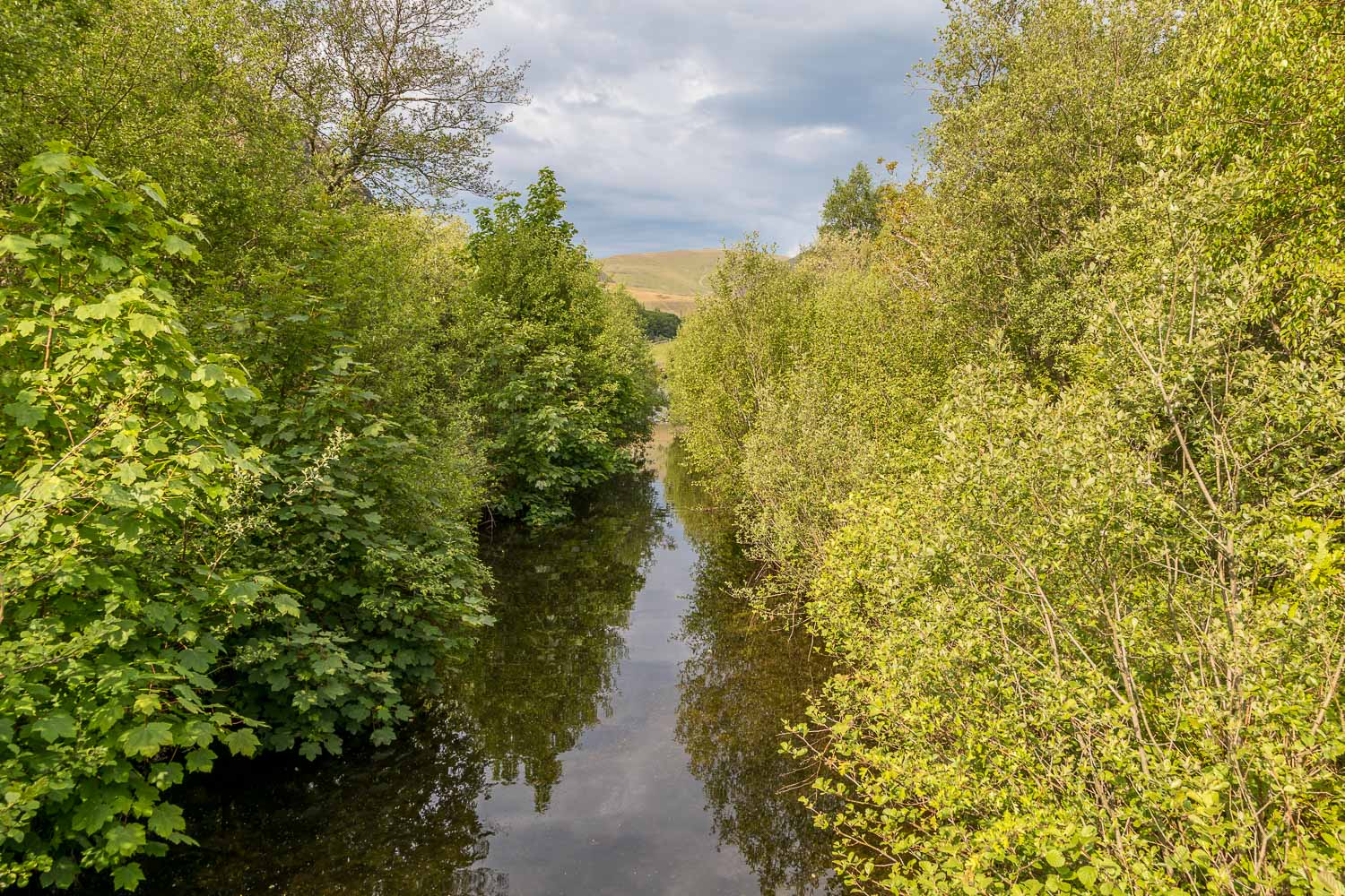
Park Beck, which is planned to be 'rewiggled' as part of the proposals. No one could object to this, save for the wider implications of the scheme
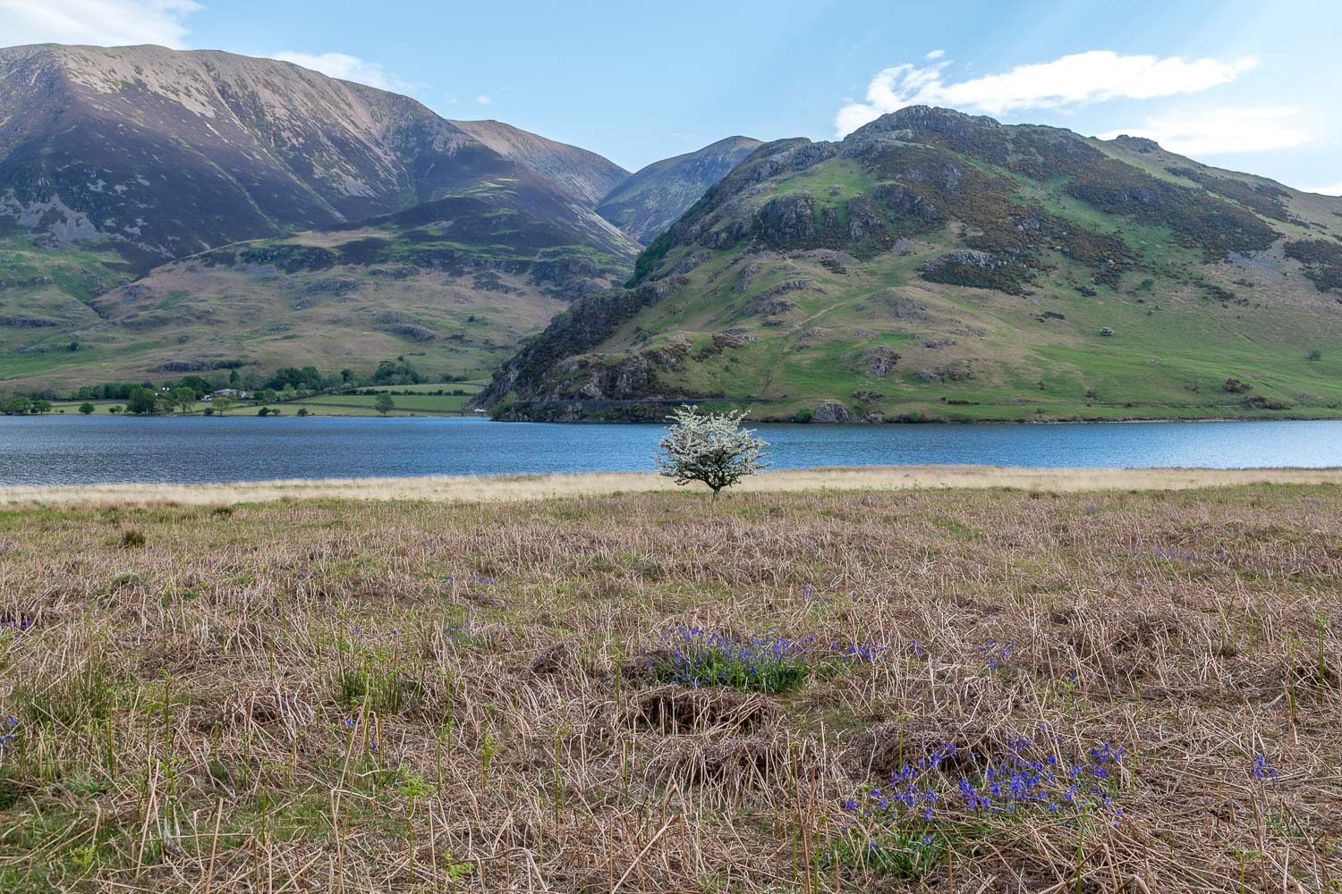
Bluebells in flower, giving me cause to think that the Rannerdale bluebells may be worth a visit later on in the walk

I cross Buttermere Dubs via Scale Bridge and head across the neck of land which separates Crummock Water from Buttermere - these once formed a single lake
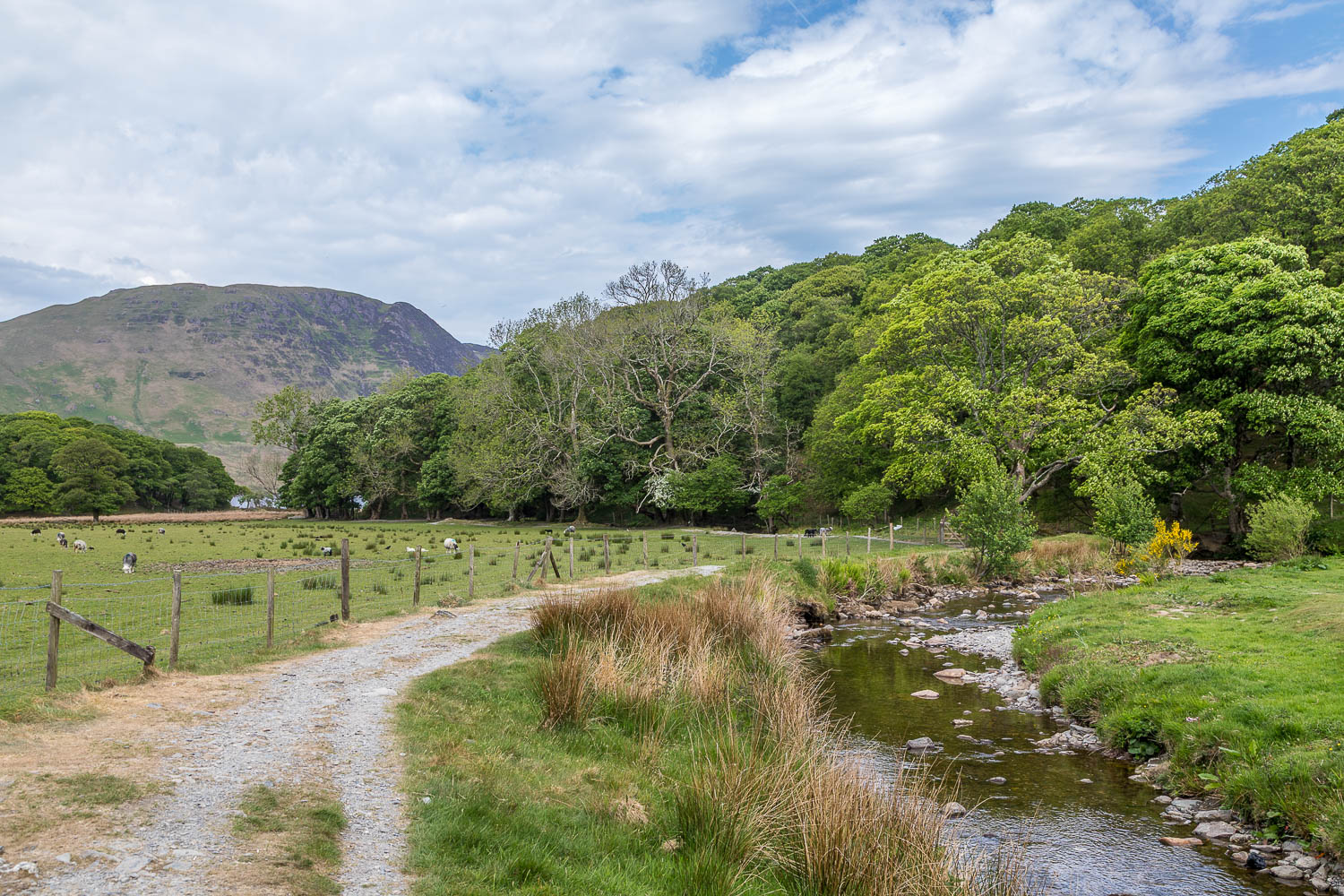
Having passed through a car park and campsite I follow a path beside Mill Beck, which drains into the head of Crummock Water
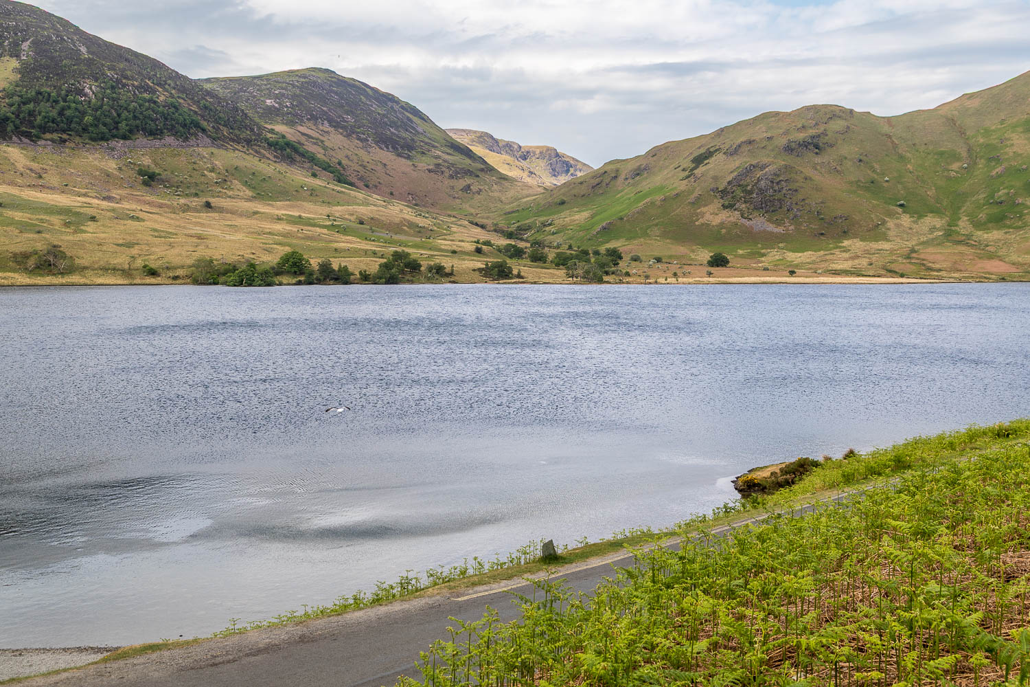
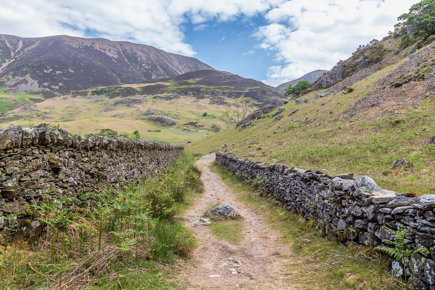
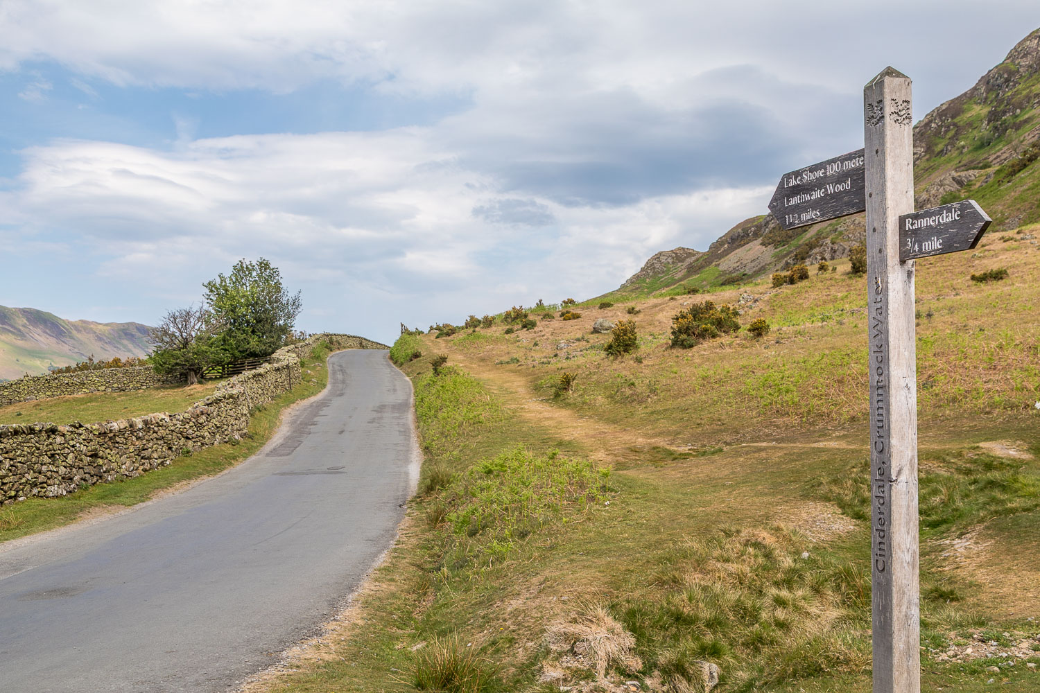
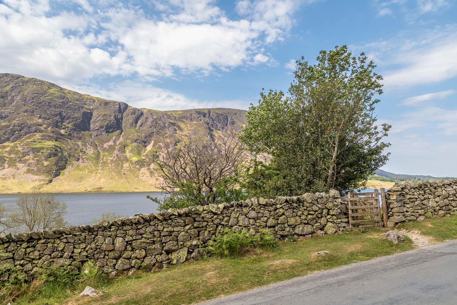
I cross the Buttermere road and avoid walking along it by climbing along the western flank of Rannerdale Knotts


