
Route: Terrington
Area: North Yorkshire
Date of walk: 29th July 2016
Walkers: Andrew and Gilly
Distance: 3.3 miles
Ascent: 400 feet
Weather: Cloudy with some light rain, becoming brighter later
The pretty village of Terrington in the Howardian Hills is a good starting point for a variety of walks. We’d drawn up a short list of 4 but by the time we arrived in the early afternoon there was only time for the shortest one, as we intended to visit Castle Howard later on
We parked in the village hall car park and passed past the church, leaving the village behind us as we walked beside the school cricket field to enter gentle rolling arable countryside. It started raining at this point but luckily the rain soon passed over and conditions improved
We joined a path beside Wath Beck for a while and then started the return leg across the fields, with lovely views across the surrounding countryside
All too soon we arrived back in Terrington with our appetites whetted for a longer walk in this area. The day was not over though and once back at the start we drove over to nearby Castle Howard – click here for that walk
Click on the icon below for the route map (subscribers to OS Maps can view detailed maps of the route, visualise it in aerial 3D, and download the GPX file. Non-subscribers will see a base map)

Scroll down – or click on any photo to enlarge it and you can then view as a slideshow

Information board by the village hall at the start of the walk

We walk towards All Saints’ Church


Walking past the church

We leave the village via this narrow passageway between the houses

A cricket pitch with a view

We walk along the grassy embankment with good views of the Howardian Hills

The path descends to the fields ahead


We follow the track beside this wheat field


Looking across a field of barley to Cotril Farm

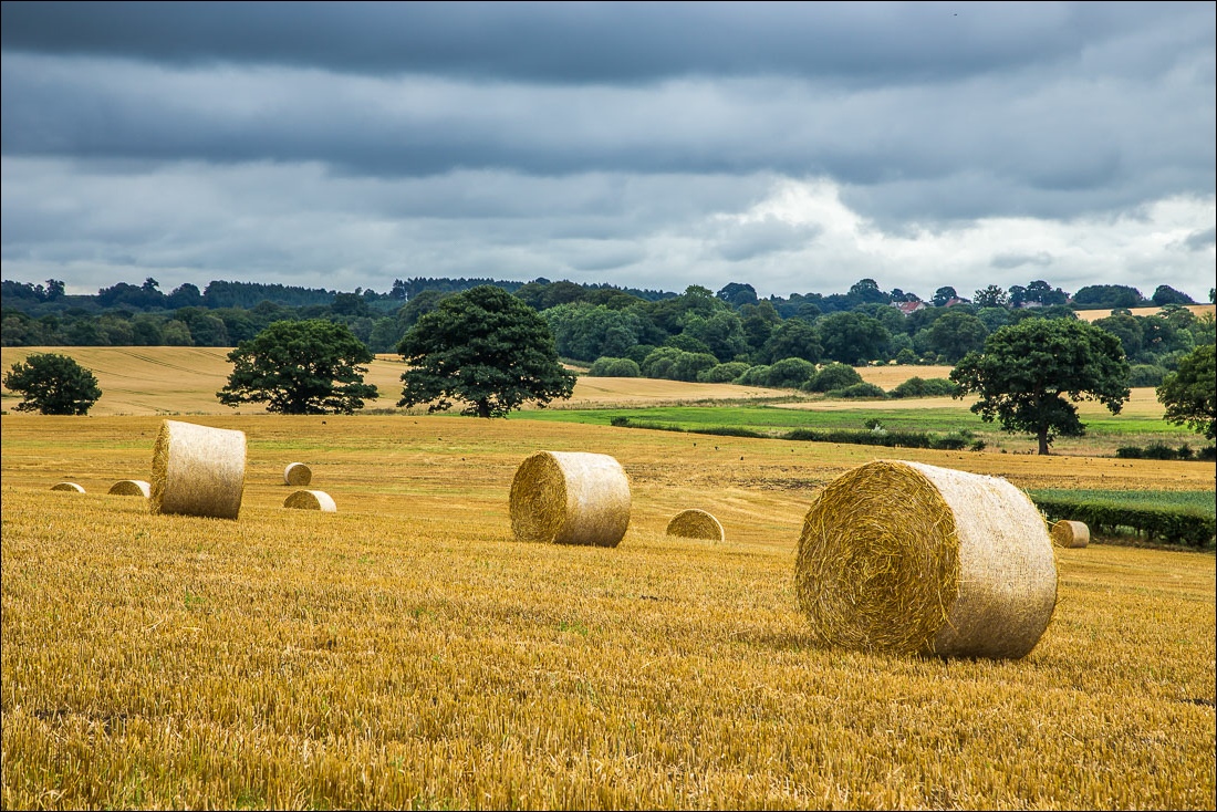
Hay bales as we make the gentle climb up North Carr Hill

The path descends to a wooded area and we follow the bank of Wath Beck for a short distance

After crossing this bridge we emerge into open countryside again…


A Ringlet

Meadow Brown

Looking back as we start the return leg

Bonnie


We follow the path beside the field in the direction of Terrington


Cotril Farm again

We follow the rather overgrown path beside this field


We join a track which becomes a lane known as New Road…

Terrington comes into view

We walk back through the village

The village hall is just around the corner - the end of a very pleasant country walk
