
Route: Little Langdale
Area: South Eastern Lake District
Date of walk: 16th November 2013
Walkers: Andrew and Gilly
Distance: 6.7 miles
Ascent: 700 feet
The Mountain Weather Information Service predicted ‘upland winds near gale force and widespread low cloud’, so on the basis of this gloomy outlook we planned another low level walk – not with any reluctance as we enjoy these walks just as much as being up in the fells
We decided to visit the Langdale area, where we’d first fallen in love with the Lake District many years ago
We parked at Skelwith Bridge and followed the Cumbria Way, stopping to admire Colwith Force waterfall on the way, a spectacular sight. After reaching Little Langdale, the furthest point of the walk, we returned to the start via Elterwater
The scenery was beautiful throughout. In the event the weather was not as gloomy as forecast and we would have had good views from the fells, but we had no regrets at all about our decision to keep to lower ground as we’d had a fantastic time
For other walks here, visit my Find Walks page and enter the name in the ‘Search site’ box
Click on the icon below for the route map (subscribers to OS Maps can view detailed maps of the route, visualise it in aerial 3D, and download the GPX file. Non-subscribers will see a base map)

Scroll down – or click on any photo to enlarge it and you can then view as a slideshow

The start of the walk - Skelwith Bridge

The River Brathay from the bridge


We join the Cumbria Way


Colwith Force

Further along the River Brathay

High Park Farm, where we had coffee and scones while enjoying the lovely views

The crumbs from our scones were quickly hoovered up

Little Langdale

Lingmoor Fell

There are many lovely bridges in lakeland, and Slater’s Bridge is one of the best

The bridge is well worn by centuries of use


Little Langdale Tarn

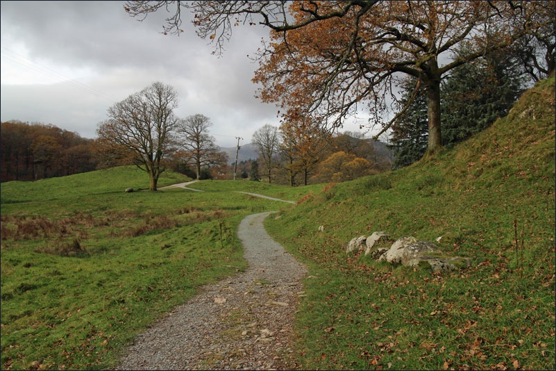
On the way back now, via Sawrey’s Wood


Bridge End Cottage Elterwater

Elterwater Bridge

The path takes us alongside Great Langdale Beck

Elterwater, with the unmistakable outline of the Langdale Pikes in the background

The River Brathay

Skelwith Force, just before we arrive back at the start
