
Route: Lanthwaite Hill
Area: Western Lake District
Date of walk: 17th April 2017
Walkers: Andrew
Distance: 2.1 miles
Ascent: 400 feet
Weather: Cloudy
There was only time for a short walk this morning, so I chose one of my favourite local spots – Lanthwaite Hill (shown on the OS map as Brackenthwaite Hows). It’s a superb vantage point and hardly any effort is required to get to the top – what this walk lacks in distance it more than makes up for in the sheer beauty and variety of the terrain
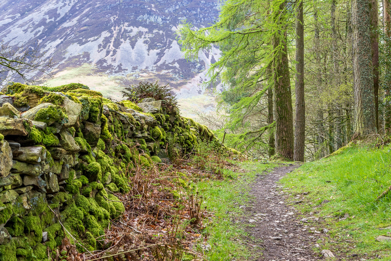
I parked in the National Trust car park near Scalehill Bridge and instead of heading along the obvious path ahead turned steeply uphill to climb up through Lanthwaite Wood. There are a couple of short rocky sections to add interest, though they are very easy
The view from the top of Lanthwaite Hill was as beautiful as ever, with Lorton Vale, Loweswater, Crummock Water and the Buttermere fells displayed in all their splendour. I descended through Lanthwaite Wood to the foot of Crummock Water from where there is a view along the length of the lake, though not shown in particularly good light today
The River Cocker starts its journey to the sea from the foot of the lake, and I followed the path along the riverbank and through Lanthwaite Wood back to the start of a short but very sweet walk
For other walks here, visit my Find Walks page and enter the name in the ‘Search site’ box
Click on the icon below for the route map (subscribers to OS Maps can view detailed maps of the route, visualise it in aerial 3D, and download the GPX file. Non-subscribers will see a base map)

Scroll down – or click on any photo to enlarge it and you can then view as a slideshow

Constant rain yesterday ruled out a walk, but the red squirrels provided plenty of entertainment...


Start of the walk - looking over the River Cocker to Mellbreak

The track which leads directly to the foot of Crummock Water - tempting but...

Lanthwaite Hill walk, Brackenthwaite Hows walk

The rocky staircase section

I pass through the deer gate to enter onto Lanthwaite Hill

From here it's a gentle climb to the top

Sweet Lorton Vale

Loweswater

Top of Lanthwaite Hill, with Crummock Water and Mellbreak beyond

Rannerdale Knotts and the High Stile range

Southern end of Low Fell, the subject of my previous walk

The Loweswater Pheasant, otherwise known as Holme Wood

Looking over Lanthwaite Wood to Rannerdale Knotts and the High Stile range

As I descend from Lanthwaite Hill I re-enter Lanthwaite Wood, and my path will take me round its edge

Tempting, but my route lies this way...


Lanthwaite Green

I fork left here to keep to the edge of the wood

The path descends beside a small stream


The boathouse at the shore of Crummock Water

Looking across the lake to the foot of Mellbreak

I follow the path along the shore...


Mellbreak again from the foot of Crummock Water

The fish ladder, at which point I leave the lake to head back to the start

The path beside the River Cocker...


Looking across to the Loweswater Fells


Further along the riverside path

The water monitoring station back at the start of the walk - note the water level during the awful 2009 floods
