
Route: Bugthorpe and Kirby Underdale
Area: East Yorkshire
Date of walk: 2nd September 2015
Walkers: Andrew
Distance: 8.5 miles
Weather: Cloud and sunny intervals
I parked in the quiet and unspoilt village of Bugthorpe, gradually gaining height as I did so, and after a while joined the Chalkland Way. I left this long distance path at Lower Sleights Farm and walked over typical rolling Wolds countryside to Mount Pleasant Farm, the highest point of the walk at just over 400 feet
There were a few more gentle ups and downs before I arrived at the half way point – the quiet village of Kirby Underdale
The return leg to Bugthorpe was across flatter terrain and it was very easy going back to the start, mostly through farmland, following paths alongside hedgerows
There was nothing to set the pulses racing on this walk but the scenery was lovely throughout, and it was quiet – I didn’t see another walker during the whole journey
Click on the icon below for the route map (subscribers to OS Maps can view detailed maps of the route, visualise it in aerial 3D, and download the GPX file. Non-subscribers will see a base map)

Scroll down – or click on any photo to enlarge it and you can then view as a slideshow

Start of the walk, 9am, St Andrew’s Church Bugthorpe

A peaceful and unspoilt little village


On Bowbriggs, just beyond the village

Looking back to Bugthorpe

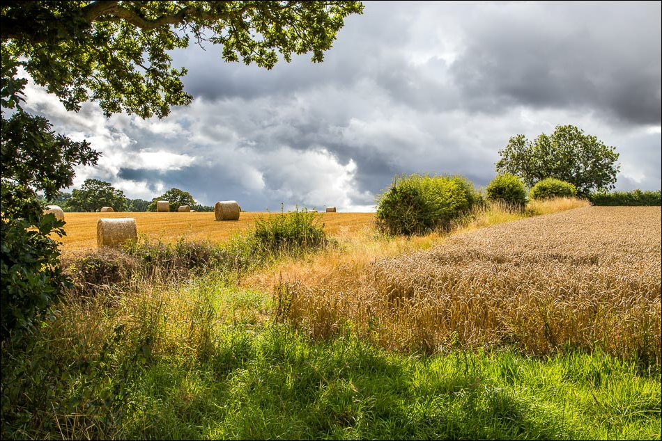
Harvest time

Bonnie

Following the Chalkland Way


Big skies

Bottoms Head


Looking towards Thixendale


…and again as we head towards Sleights


Huge views back over the Vale of York

As I neared the half way point there were lovely views towards Thixendale…


Looking back


All Saints Church Kirby Underdale

The path takes me through the churchyard

Kirby Underdale - quiet and unspoilt

Heading west out of the village

Flatter terrain as I head back towards Bugthorpe

Looking back as I start a short (and very quiet) road section along Bugthorpe Lane


Views across the fields as I walk along the lane

Black skies and white horse near Longhowes Plantation


Dramatic skies as I approach Bugthorpe…


Back to the start

Young swallow at Drewton on the way back home
