
Route: High Rigg
Area: Central Lake District
Date of walk: 15th June 2013
Walkers: Andrew Gilly and David
Distance: 5.8 miles
Ascent; 1,300 feet
We parked near Legburthwaite and made our way up Wren Crag to gain the ridge
There were lots of ups and downs along the long ridge. After about 1.5 miles, the summit of High Rigg was finally reached, from where there were lovely views, particularly of Blencathra
The descent was straightforward, and after reaching the bottom we joined the path which leads back round the eastern flank of the fell, with St John’s in the Vale on our left
There were good views across the vale to the craggy features of Clough Head
Just before we reached the car, we treated ourselves to tea and home made scones at Low Bridge End Farm – a good way to round off a really enjoyable walk
For other walks here, visit my Find Walks page and enter the name in the ‘Search site’ box
Click on the icon below for the route map (subscribers to OS Maps can view detailed maps of the route, visualise it in aerial 3D, and download the GPX file. Non-subscribers will see a base map)

Scroll down – or click on any photo to enlarge it and you can then view as a slideshow

Looking across to Castle Rock, from the start of the climb

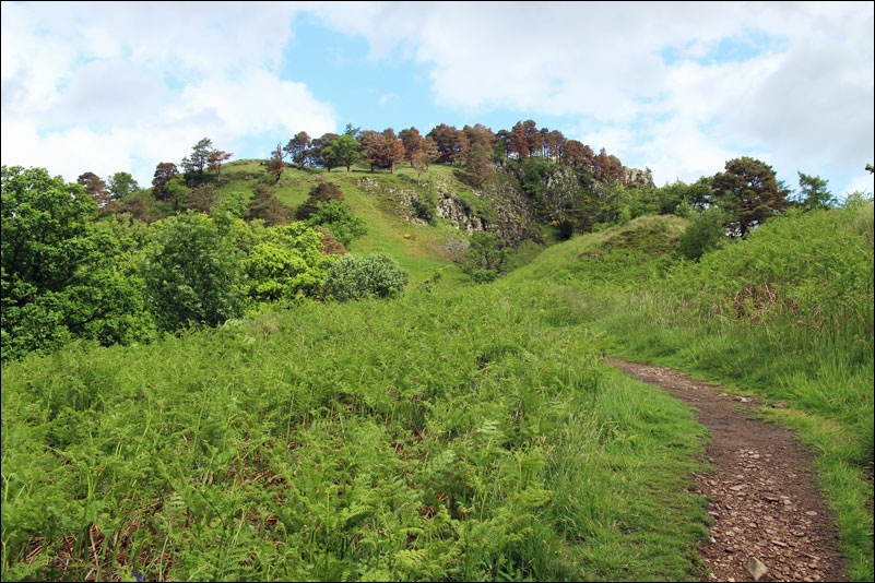
Looking up to Wren Crag near the start of the ridge

Clough Head and St John’s in the Vale

Clough Head again

Looking back to Thirlmere

On the ridge leading to High Rigg, with Skiddaw in the background

Blencathra

It was windy at the top, as demonstrated by Bonnie’s ear

Gilly and David striding towards the summit

Blencathra looms over the tarn

Blencathra from the summit cairn of High Rigg

Looking across in the direction of Keswick from the same spot

Summit photo of David and Winnie

Descending now, the small tarn ahead is Tewet Tarn

Nearly down to valley level

St John’s in the Vale Church

On the return leg now, along St John’s in the Vale

Looking back towards Blencathra

Clough Head across the vale

Further along the path

Not far to go now

In the absence of a pub, this was the next best thing, handily located near the end of the walk
