

Route: Whitton Circular
Area: North Lincolnshire
Date of walk: 27th December 2014
Walkers: Andrew Gilly and Tom
Distance: 6.6 miles
Ascent: 100 feet
Weather: Slighly overcast with a few bright spells. Cold
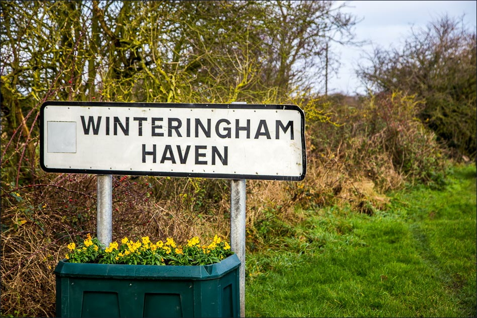
After driving over the Humber Bridge to get here, we parked on the roadside just before Winteringham Haven
We then joined a path which runs along the top of a causeway by the bank of the River Humber which we followed all the way to the small village of Whitton
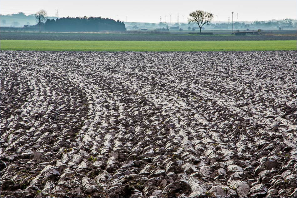
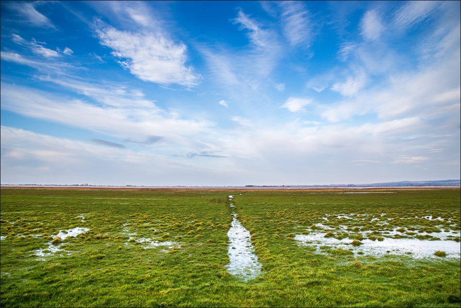
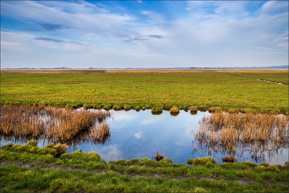
After walking through the attractive little village we made our way back to Winteringham across low lying farmland
The terrain was almost completely flat throughout the walk – the highest altitude we reached was 30 feet above sea level, and the lowest was -14 feet. Nevertheless, there’s a unique atmosphere to this area and a real sense of isolation
For a person who likes to get away from it all, this is the place to come
Click on the icon below for the route map (subscribers to OS Maps can view detailed maps of the route, visualise it in aerial 3D, and download the GPX file. Non-subscribers will see a base map)

Scroll down – or click on any photo to enlarge it and you can then view as a slideshow
Start of the walk
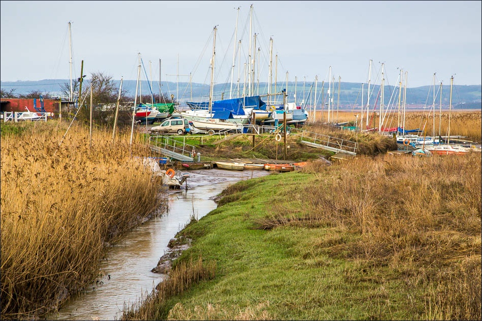
Winteringham Haven

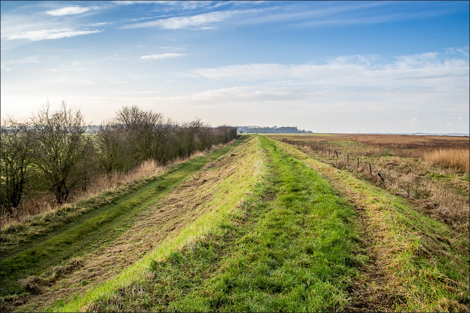
On the South Humber Heritage Trail

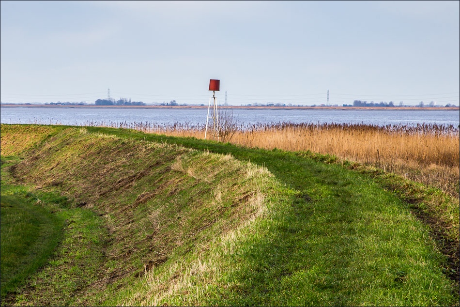
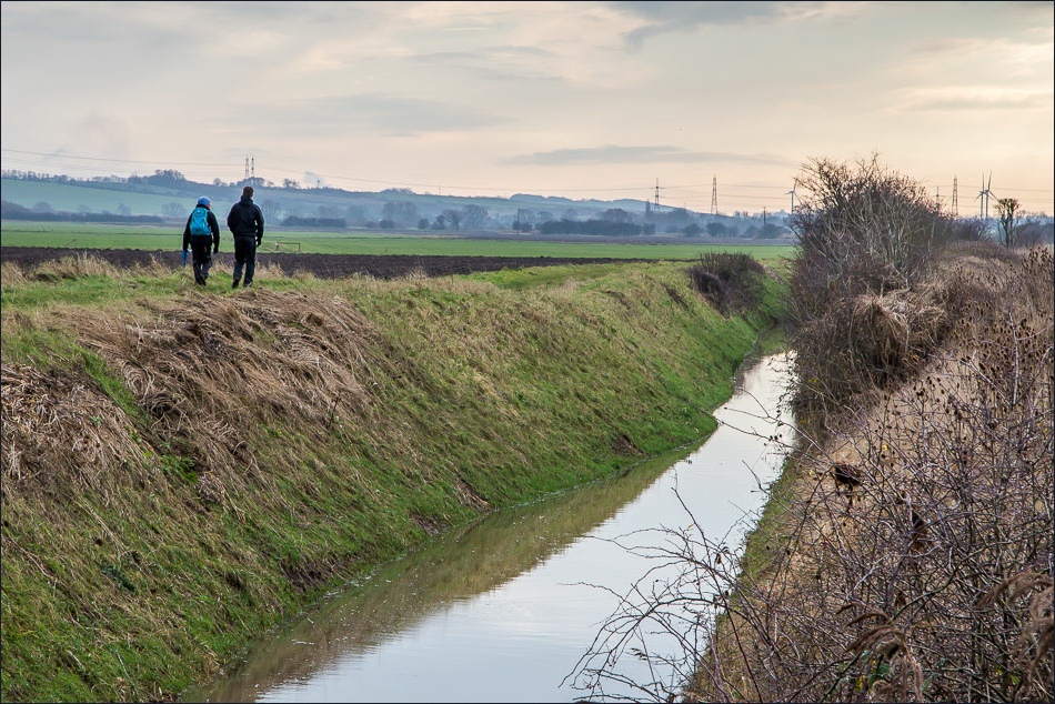
Gilly and Tom follow the embankment, with the Humber Estuary to the right
Looking inland

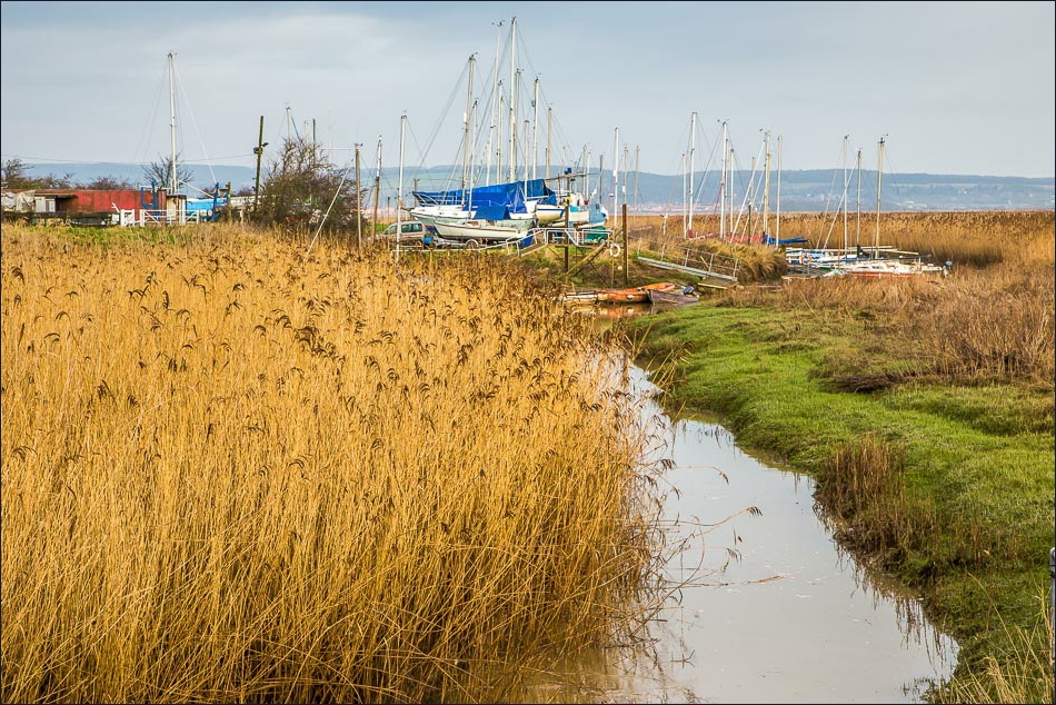
Walking beside the reedbed
Another view inland

North bank of the Humber in the distance

Looking across the Humber
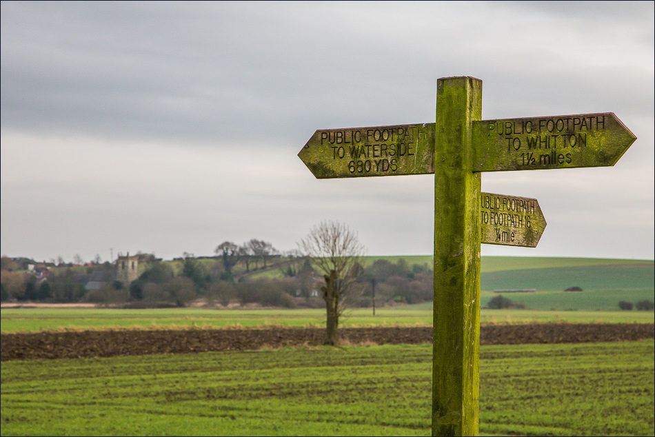
Whitton in the distance
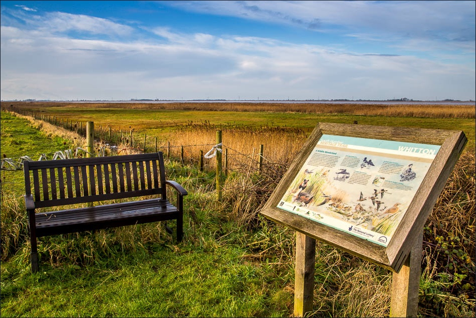
We arrive at Whitton, the half way point of the walk

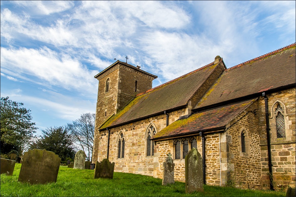
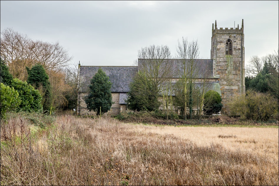
The church of St John the Baptist in Whitton
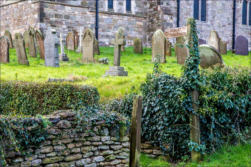
We follow a footpath past the church
Leaving Whitton
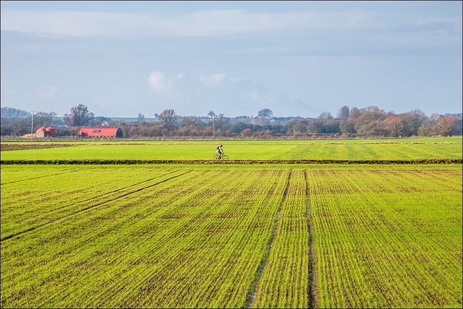
Walking back across flat farmland towards Winteringham

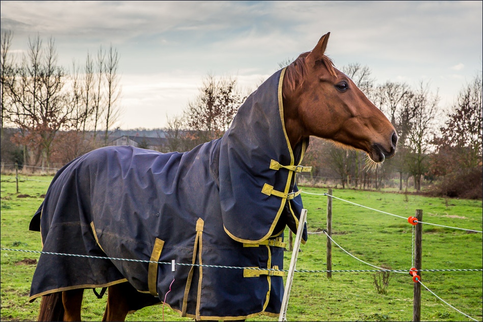
Bonnie
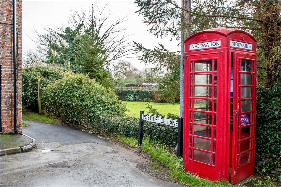
Approaching Winteringham
All Saints’ Church Winteringham
Back to the start at Winteringham Haven
