
Route: Wasdale Wander
Area: Southern Lake District
Date of walk: 6th February 2014
Walkers: Andrew and Gilly
Distance: 5.5 miles
Ascent: 300 feet
At this time of year it’s often a good idea to have two possible walks up your sleeve – one high level and the other low, in case of bad weather. Armed with two such plans we set off for Wasdale, only 10 miles away from Lorton as the crow flies, but it took us 45 minutes by car as there are lots of mountains in the way
When we arrived at Wast Water all the surrounding fells had their heads in the clouds so our plan to climb Buckbarrow, Middle Fell and Seatallan gave way to Plan B, the low level alternative
With no reluctance at all, we parked in Santon Bridge opposite the Inn of the same name and followed the path which runs along the banks of the River Irt. When we arrived at Hollins Bridge the footpath was closed due to construction works (it re-opens 14th February in case anyone follows this walk). This was a potential blow as there’s no alternative. However, Gilly used all her charm and wiles (of which she has plenty) and managed to persuade the foreman to let us through
On we went across attractive countryside, and then through the woods on the flanks of Latterbarrow, before arriving back at Santon Bridge. It had been an enjoyable walk and far better than stumbling around on misty fells with no views
Click on the icon below for the route map (subscribers to OS Maps can view detailed maps of the route, visualise it in aerial 3D, and download the GPX file. Non-subscribers will see a base map)

Scroll down – or click on any photo to enlarge it and you can then view as a slideshow
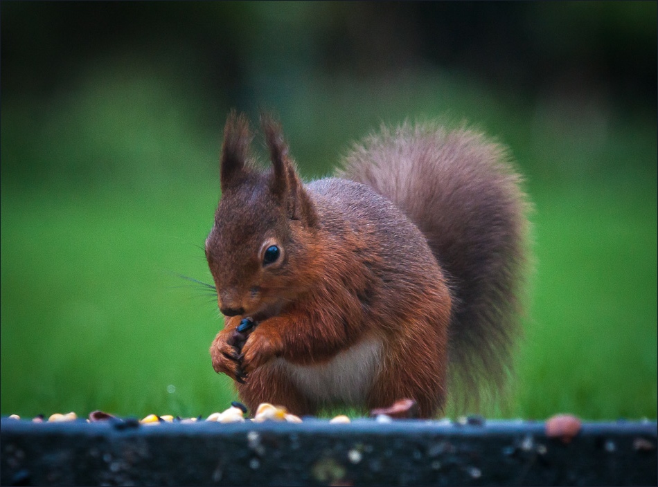
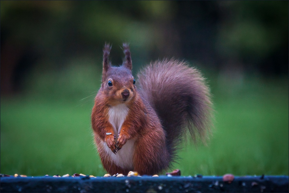
Before we set off, a red squirrel in the garden enjoying the breakfast we’d left out

The Wastwater Screes

Gilly checks out the conditions on the felltops - mmm… a bit misty, Plan B it is

The Bridge Inn at Santon Bridge - home to the World’s Biggest Liar Competition

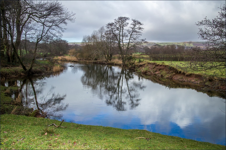
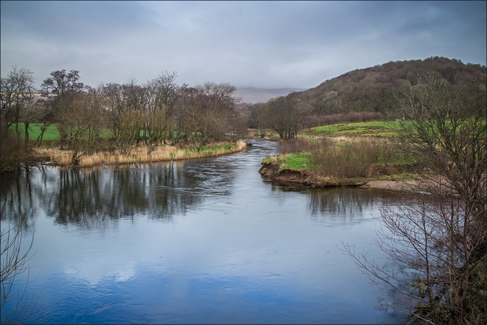
We follow the bank of the River Irt

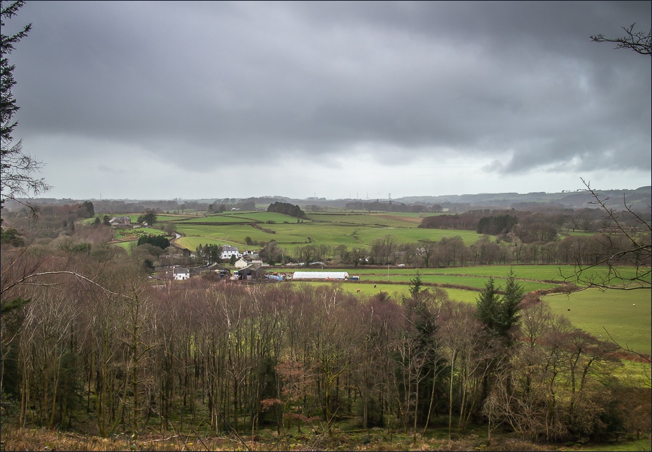
The gentle countryside gives no hint that Scafell Pike is only a short distance from here

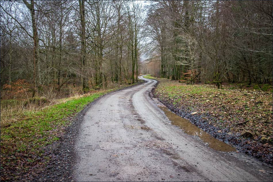
The mist is still on the fells as we reach the midpoint of our walk
Walking through Great Coppice

Looking towards Wasdale Head, the lakeland giants are still hiding their heads
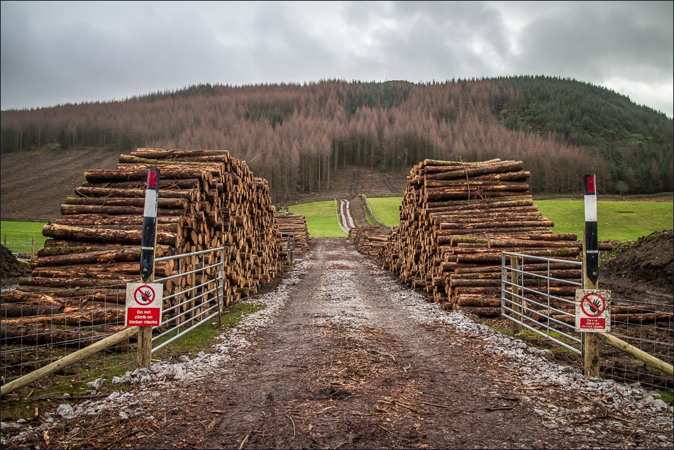
Forestry operations as we pass by Latterbarrow

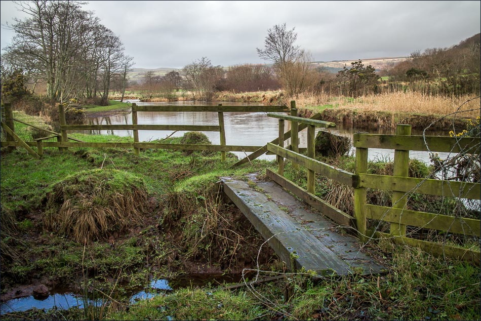
Bonnie manages to climb up a temporary ladder stile

Another view back towards Wasdale Head
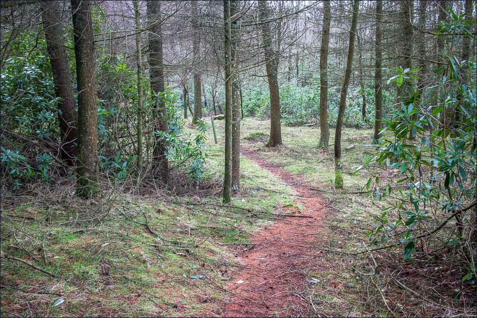
In Mecklin Wood

Mind how you go, Gilly
Santon Bridge (and a distant view of Sellafield)
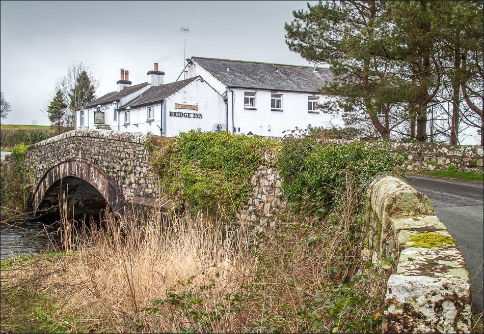
Back to the Bridge Inn - a great place to end the walk
